Highway 178, Southern Sierra
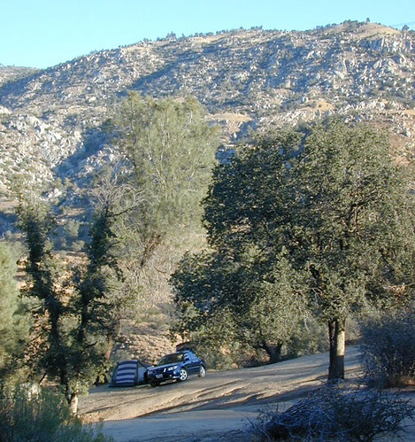
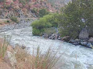
California 178 starts at Bakersfield, in the Lower Central Valley and skirts the Lower Kern River up to Lake Isabella, where hundreds of trails, campsites & recreational opportunities abound. The route heads east to rural and rocky countryside of Kern County, where you can find Joshua Trees along the main road.
After Walker Pass pavement drops into Freeman Canyon and the high desert region of the Northern Mojave at Hwy 395, where there is plenty of off roading trails nearby. The highway traverses through Inyokern and Ridgecrest, and then turns north to Trona. California 178 becomes Trona Wildrose Road as it enters Panamint Valley and does not connect easily through Death Valley National Park, due to a large mountain range. (4x4 routes over mts)
Highway 178 starts again on the east side of Death Valley Wilderness at Ashford Junction, where Badwater Road ends and the paved route becomes Jubilee Pass Road. Desert wilderness lands fill the landscape and then the small town of Shoshone, eventually leading out to the casino mecca of Pahrump, NV.
|

|
|