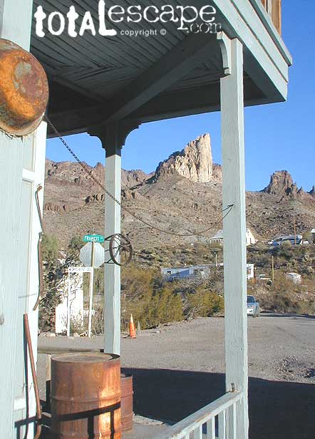
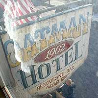
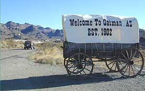
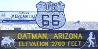
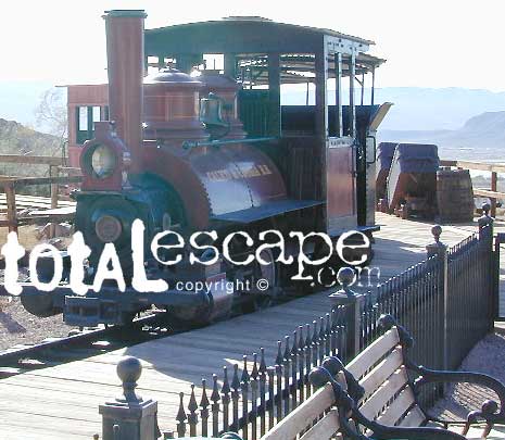
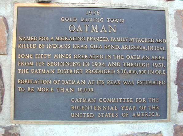
Oatman Ghost Town, AZ
established 1902
 If you are ever in Laughlin, Nevada and find yourself in a blank stare, mesmorized at a slot machine in front of your face, wondering ‘why the hell am I here?’ – RUN for the doors & take in the warm desert sun & scenery. There is plenty to do around here for sightseeing & Route 66. Oatman, Arizona is just one favorite option.
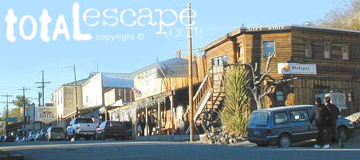
A lively, rustic town in the Arizona desert, with a silly commercial twist. Tourist trap to some, but entertaining to others. A meeting spot for travelers, an ideal lunch stop, and conveniently located on paved roads near major highways and close to Interstate 40.
OATMAN town began as a small mining camp and grew into a large town. Many residents that live here today are shop keepers or retirees. Located near the Colorado River, with Laughlin and local indian casinos nearby.
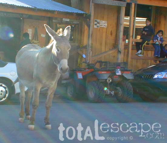
The amount of visitors or tourists can vary depending on time of day, there can be a motorcycle club rolling through, or a meeting of hot rods. Both classic cars and bikes are popular in this desert region. Tour buses and guides also bring their guest here as a good stopping point along their desert whirlwind travels. Holiday weekends & festival weekends can get crowded as well. Centrally located, Oatman sees lots of traffic, so don’t expect a desolate ghost town atmosphere. 
The town streets have very limited parking & bringing that huge RV up the hill via the narrow road is not recommended. It may be possible to take a shuttle bus from a nearby hotel.
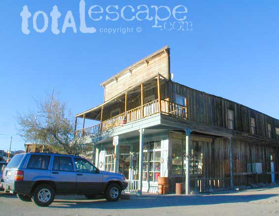
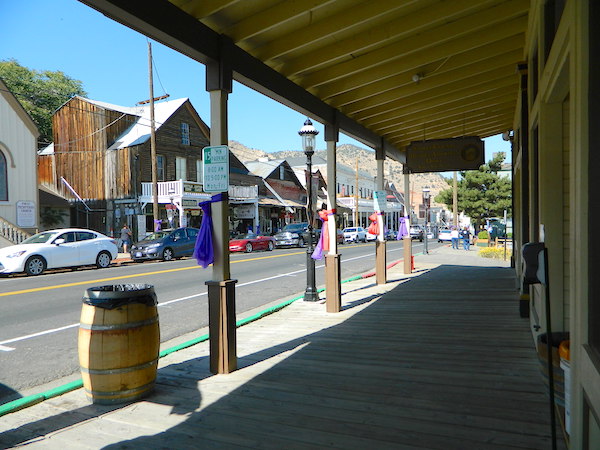
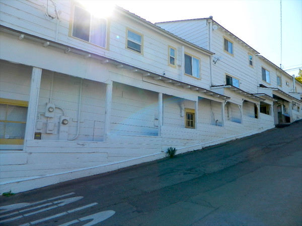
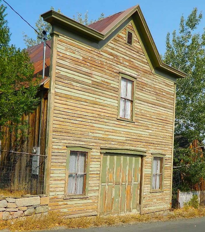
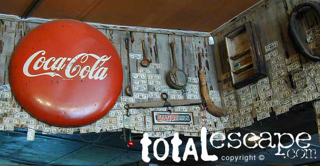
Souvenir shops, diner, saloon, western town walkways. OATMAN ghost town is super easy to get to. Only 12 miles off the main drag (AZ 95) Mojave Hwy. South of Bullhead City, AZ. Situated up on the Black Mesa above Mojave Valley, Oatman is a modern, developed, touristy ghost town (as ghost town standards go).
 BUT, NO GASOLINE IN OATMAN
elevation: 2710′
population: 128
 Desert mountains, canyons.
SouthEast of Laughlin, NV
Mojave Valley – in Arizona
@ Nevada / California borders
Off Interstate 40, Route 66
![]() When traveling in the deserts, consider more stretch breaks (mini hikes). Short hikes and viewpoints offer time for relaxing, snacking and exercise.
When traveling in the deserts, consider more stretch breaks (mini hikes). Short hikes and viewpoints offer time for relaxing, snacking and exercise.
![]()
Remember that finding a great camp site before dark is of utmost importance, if you are not hoteling it; but bottoming out your rig, or getting stuck is another kinda adventure. No fun. Have topographic maps of the region you plan to explore, on foot, or off-road.

area activities:
- Back Roads

- Camping
- Casinos
- Colorado River
- Hiking
- Kayaking
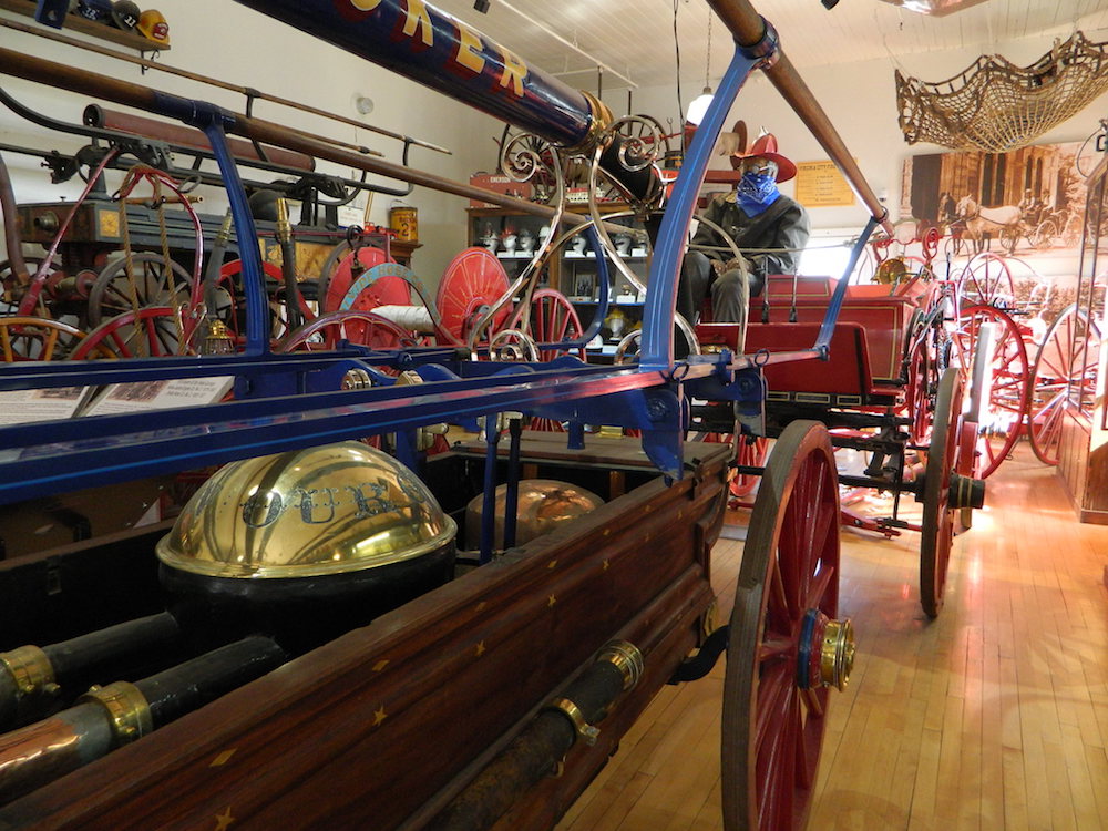
- Museums
- Jet Ski Rentals
- Sightseeing
- Shopping
lodging 

![]() Primitive camping on dirt backroads is plentiful and FREE. SUV back road exploring just north of town. Silver Canyon Wash, a graded, dirt road continues back down to Bulhead City. A decent little loop drive (for those needing to get dusty to have fun). Since we’ve been writing about this road, a huge residential neighborhood has sprouted back here, so watch for private property signs. Don’t camp within eye-sight of a home, or you could have the local Sheriff out to move you (at 11pm)
Primitive camping on dirt backroads is plentiful and FREE. SUV back road exploring just north of town. Silver Canyon Wash, a graded, dirt road continues back down to Bulhead City. A decent little loop drive (for those needing to get dusty to have fun). Since we’ve been writing about this road, a huge residential neighborhood has sprouted back here, so watch for private property signs. Don’t camp within eye-sight of a home, or you could have the local Sheriff out to move you (at 11pm)
![]() Camper Trailers & RV campers should be very cautious about venturing too far down any dirt road. Wash outs can change the road annually, so it is best to get out & walk it first. The California Mojave is filled with bitchin back road camp sites, and yes, some are very accessible – even with a huge motorhome.
Camper Trailers & RV campers should be very cautious about venturing too far down any dirt road. Wash outs can change the road annually, so it is best to get out & walk it first. The California Mojave is filled with bitchin back road camp sites, and yes, some are very accessible – even with a huge motorhome.