Gold Rush Country, Silver Mine, Copper, Tungsten Mines
California Mine Tours, Mining Towns, Historic Mining Camps, Regional Mining Districts
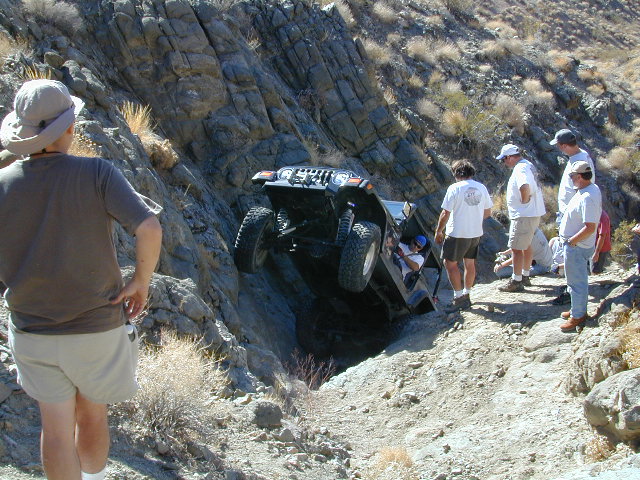
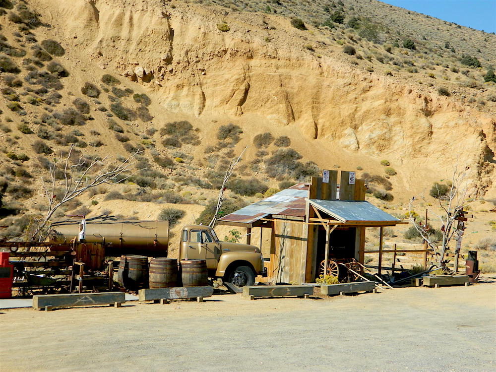
DESERT MINES & RAILWAYS
- Ballarat, CA
- Beverage Canyon
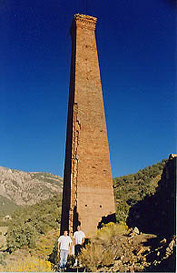
@ Saline Valley (DVNP) - Calico, CA
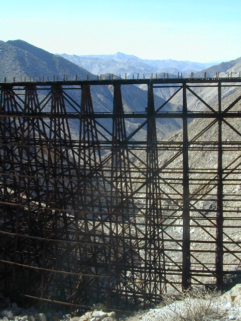
- Carrizo Gorge Goat Trestle
Anza Borrego Desert, CA - Charcoal Kilns
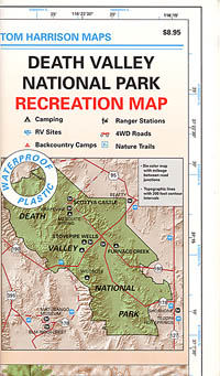
@ Death Valley National Park (DVNP) - Cerro Gordo, CA
- Darwin, CA
- El Dorado Canyon
@ Lake Mohave, NV - Garlock, California
(buildings torn down by Knott’s Berry Farm, for decor at their amusement park)
- Jail House Canyon
- Johannesburg, CA
- Joshua Tree Mines
Moab, UTAH
Uraniam Mines & Recreation
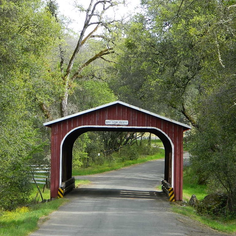
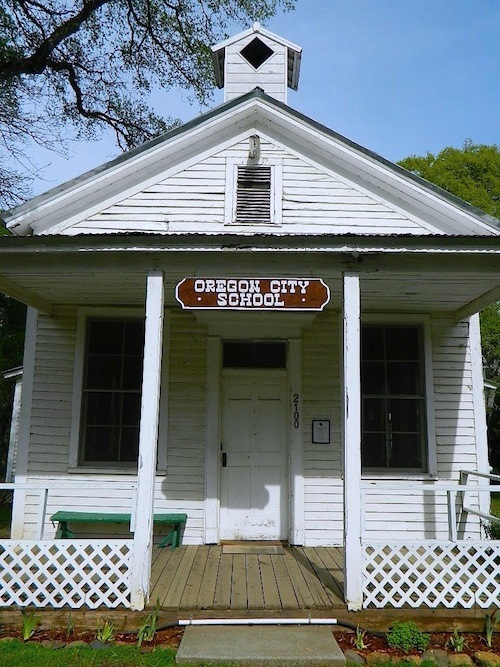
- Montgomery City
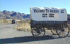
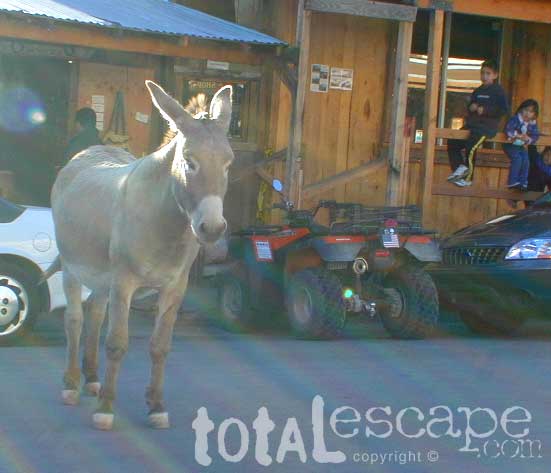
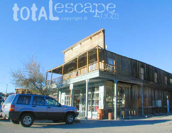
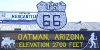
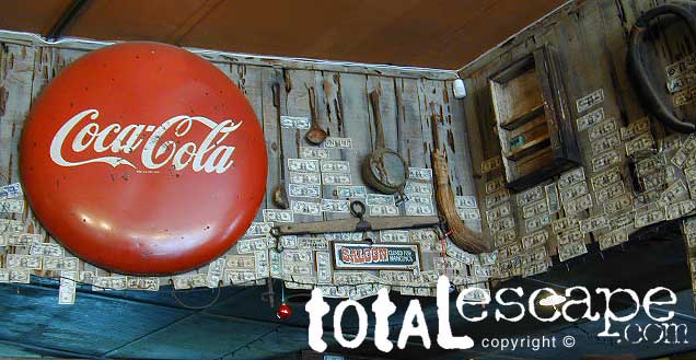
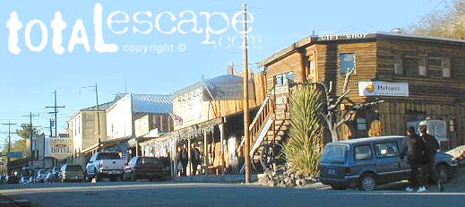
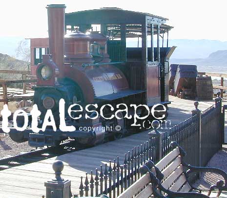
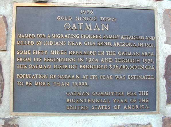
- Oatman, AZ
- Panamint City
- Picacho Park
- Randsburg Mining District
- Red Mountain Mojave
- Skidoo (DVNP)
- Tucki Mine (DVNP)
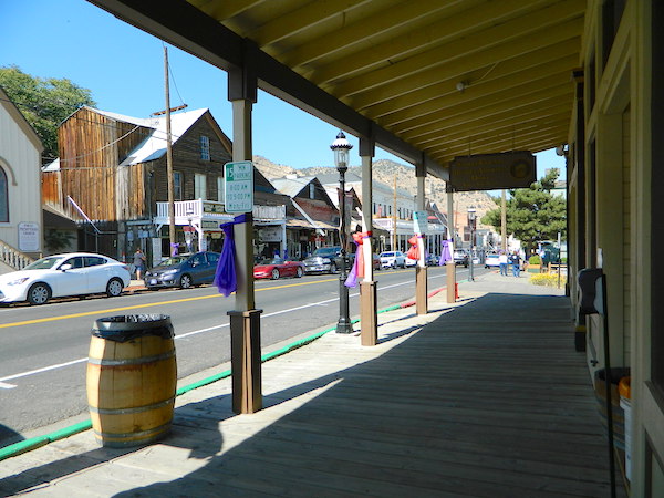
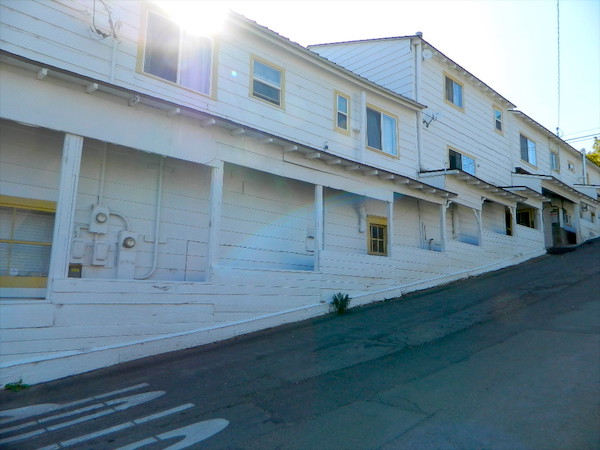
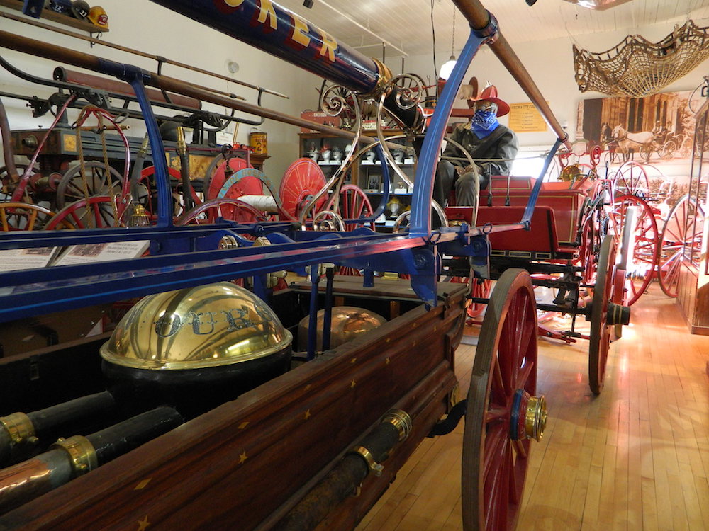
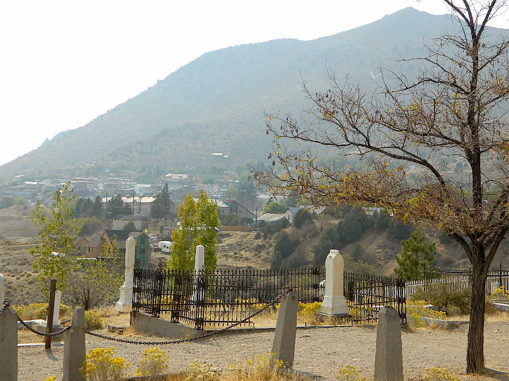
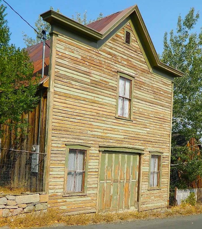
- Virginia City, NV

Historic State Parks related to Mining
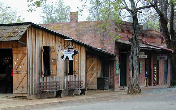
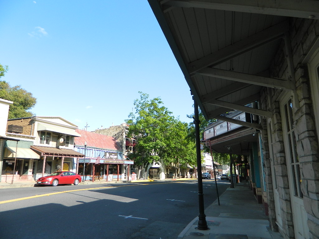
Columbia State Historic Park
209-588-9128
Jackson, CA
(Sutter Gold Mine)
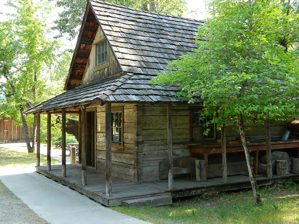
In 1945 California made this large mining camp a State Park in order to preserve the typical Gold Rush town, an example of one of the most colorful eras in American history. Today visitors can take a step back in time to experience life in Gold Rush era of the 1850’s and 60’s in California.
Gold Country California
Gold Rush Towns HIGHWAY 49
Empire Mine State Historic Park
530-273-8522
Grass Valley, CA
Empire Mine State Historic Park is a state-protected mine and park in the Sierra Nevada mountains in Grass Valley, California, U.S. The Empire Mine is on the National Register of Historic Places, a federal Historic District, and a California Historical Landmark
Malakoff Diggins State Historic Park
530-265-2740
North Bloomfield, CA
Out of all the mining techniques, hydraulic mining is the most destructive to the land. Canons spray the hillsides with water, forcably washing the soil away to expose rock and gold deposits underneath. The abundant runoff produced clogged stream beds, dead vegetation and debris flows into the major rivers. Orchard towns in the valley were inundated with rocks and floods which destroyed homes, crops and businesses. Levees were built around the farming communities, but the protection was no match for the amount of mine tailings washing down river. Eventually legislation was passed to ban the hydro-blasting mining practice and these were the first environmental laws on the books in California.
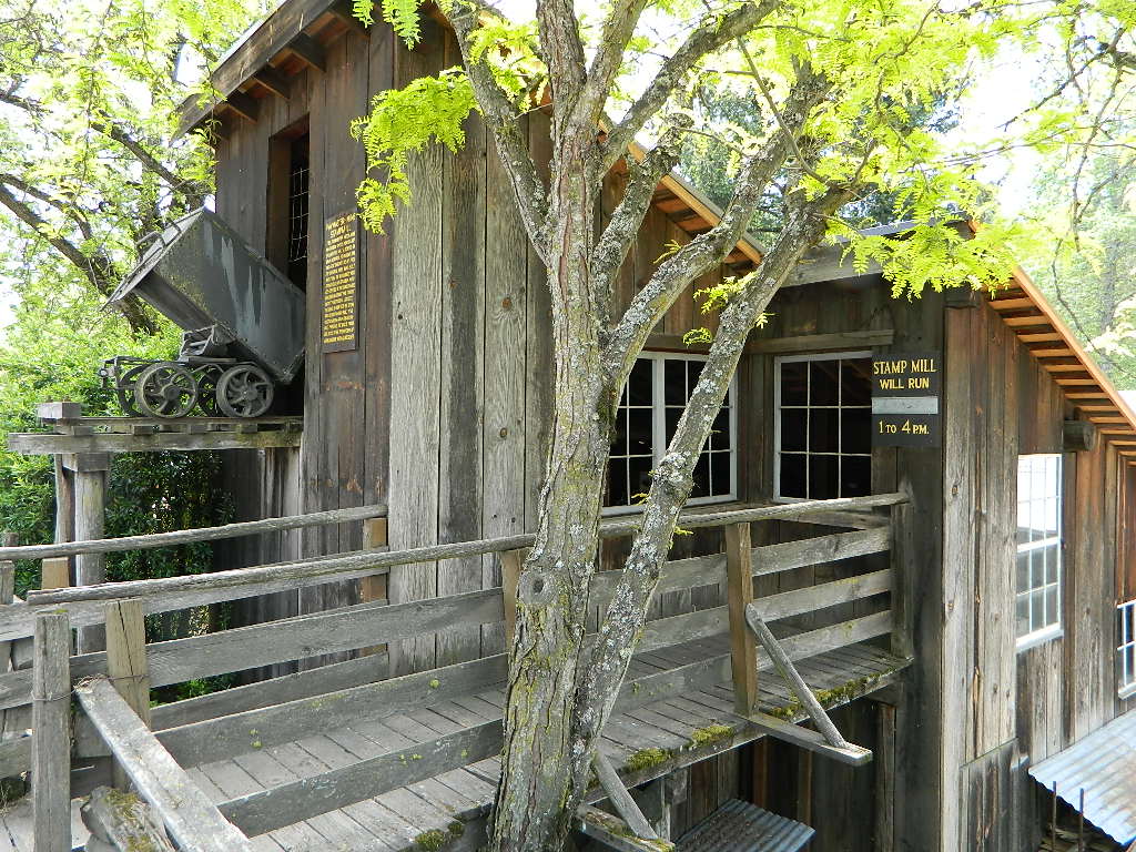
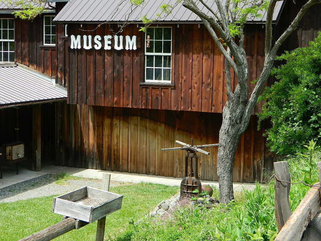
Plumas Eureka State Park
530-836-2380
Johnsville, CA
load pix of property
Originally constructed as the miner’s bunkhouse, the museum now serves as a visitor center. Inside, displays depict the natural and cultural history of the park. Outside and across the street from the museum is the historic mining area, where the Mohawk Stamp Mill, Bushman five-stamp mill, stable, mine office, historic miner’s residence and the blacksmith shop depict life in gold rush-era California.
Marshall Gold Discovery State Historic Park
530-622-3470
Coloma, CA
The oak lined foothills of the (American South Fork) river valley and Coloma proper is dedicated to preservation, parks, tourism, camping and lodging. The highway runs over a mile of State Park fronted land. Picnic tables, parks, historic buildings, mine history, museums, campgrounds, and river rafting.
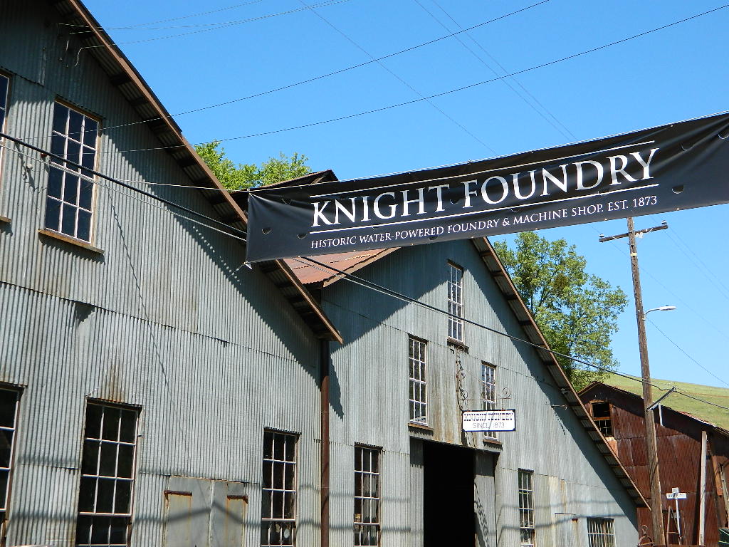
Knight Foundry
209-560-6160
Sutter Creek, CA
Knight Foundry is America’s last water-powered foundry and machine shop and a premier relic of Mother Lode gold mining.
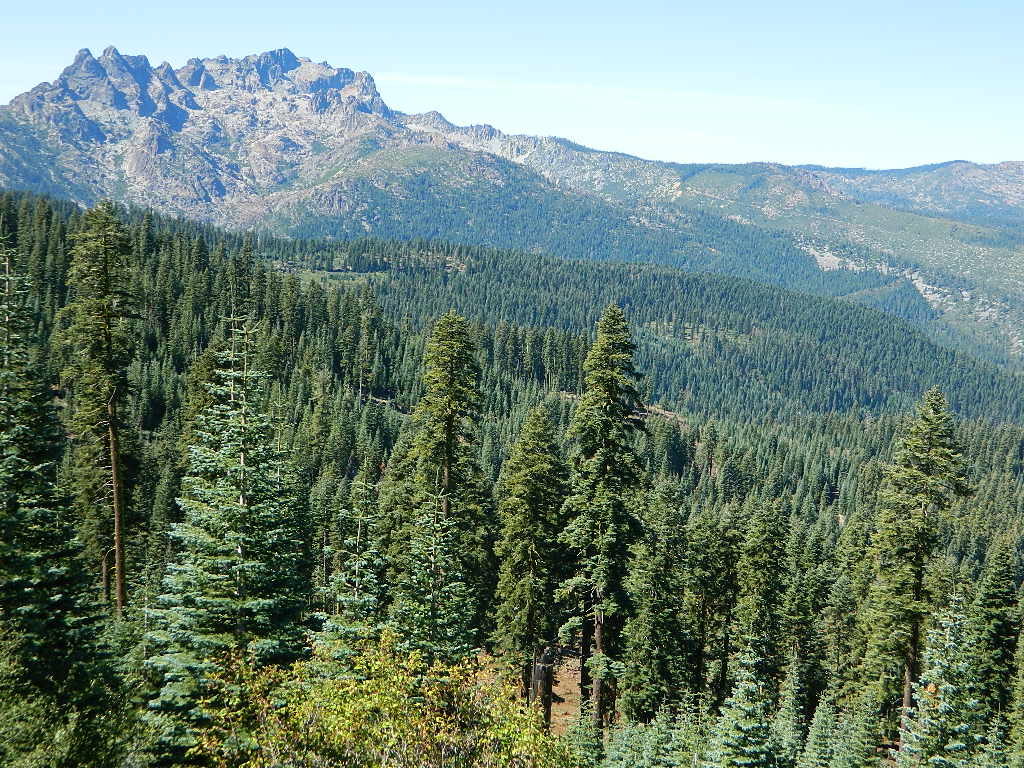
SIERRA NEVADA MINES
Alpha Omega Mines (Omega Diggins)
Washington, CA
Donner Mine Camp
Bear River, west of Donner Pass I-80
Kongsberg, CA
Highway 4, east of Ebbetts Pass
Pine Creek Tungsten Mine
northwest of Bishop, CA US 395

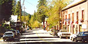
GOLD RUSH COUNTRY TOWNS
& MINING CAMPS
Sierra Nevada Foothills
Gold Country California
Gold Rush Towns HIGHWAY 49
(towns listed from north to south below)
Forbestown Yuba Feather Museum
530-675-1025
19096 New York Flat Road
Forbestown, CA 95941
(open only in summer)
Yuba Feather Historical Associates
- Sierra City, CA
- Downieville, CA
- Alleghany, CA
- North Bloomfield, CA
- North San Juan, CA
- Nevada City, CA
- Grass Valley, CA
- Washington, CA
- Colfax, CA
- Auburn, CA
- Coloma, CA
- Placerville, CA
Hang Town - Plymouth, CA
- Amador City, CA
- Sutter Creek, CA
Kennedy Gold Mine Tours
209-223-9542
 Angels Camp (Angels City, CA)
- Murphys, CA
- Columbia, CA
- Sonora, CA
- Jamestown, CA
- Groveland, CA
- Mariposa, CA
- Ahwahnee, CA
- Coarsegold, CA
- North Fork, CA

NORTHERN CALIFORNIA MINING
Mining activity in the North State of California is way less than the Central Gold Country regions. While mining tourism and western themed downtowns cannot be found up here, historic hotels, cattle ranching, wide open views and unlimited dirt roads can. New beer breweries are popping up and also, the Pacific Crest Trail (PCT) is routed nearby!
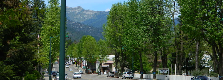
Weaverville, CA
Mining Museums on Main Street
Jake Jackson Memorial Museum
530-623-5211
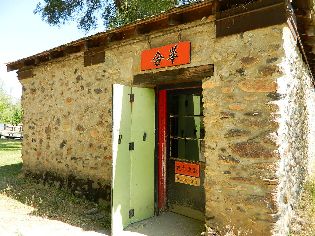
Joss House State Historic Park
530-623-5284
Weaverville Firefighter Museum
530-623-6156

SOUTHERN CALIFORNIA MINING
Blue Light Mine
Silverado Canyon, Orange County
Carrizo Gorge Goat Trestle
Tunnels & Railway
Anza Borrego Desert
Dawn Mine @ Millard Falls
Altadena, CA
Eagle Mine
west of Mount Baldy
Angeles National Forest
Julian Mine Tours
Eagle & High Peak Mine
Julian, CA
951-313-0166
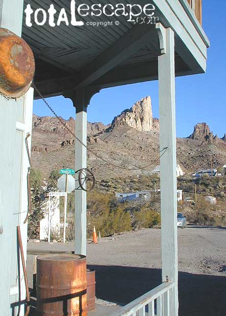
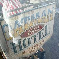 If you are ever in Laughlin, Nevada and find yourself in a blank stare, mesmorized at a slot machine in front of your face, wondering ‘why the hell am I here?’ – RUN for the doors & take in the warm desert sun & scenery. There is plenty to do around here for sightseeing & Route 66. Oatman, Arizona is just one favorite option.