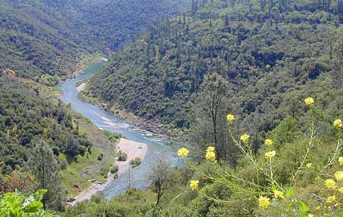
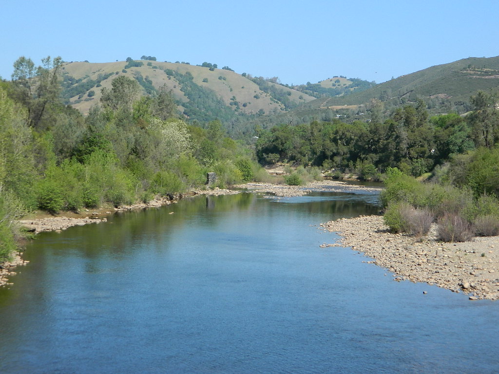
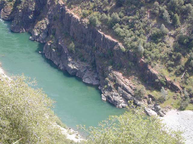
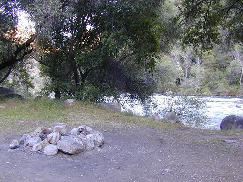
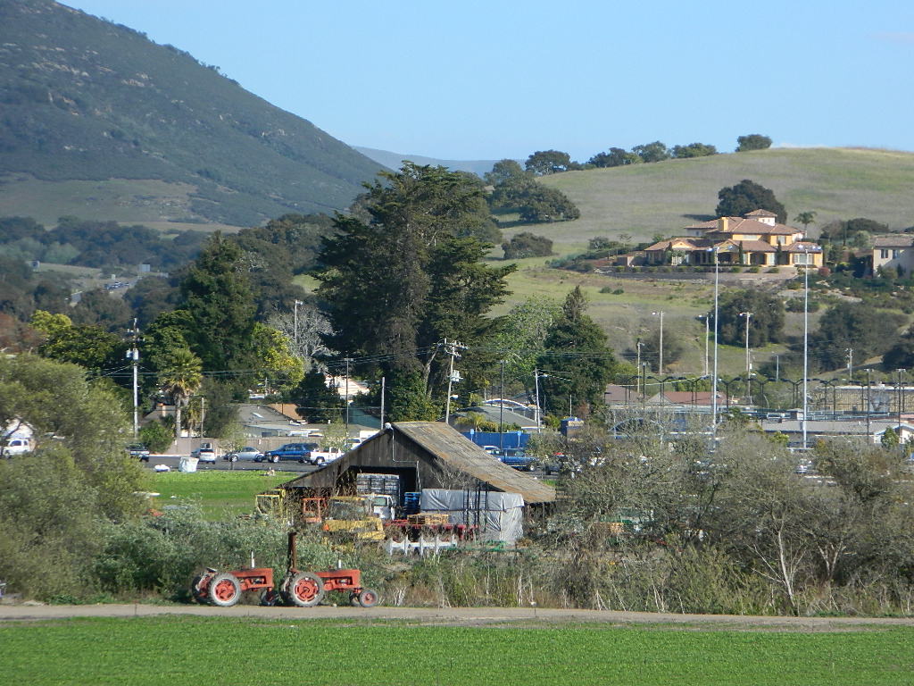
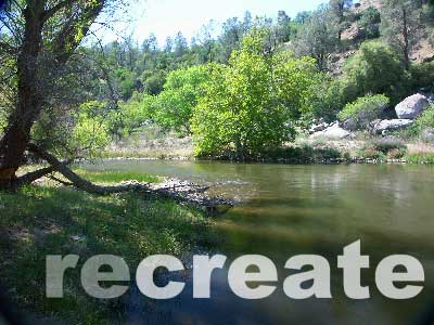
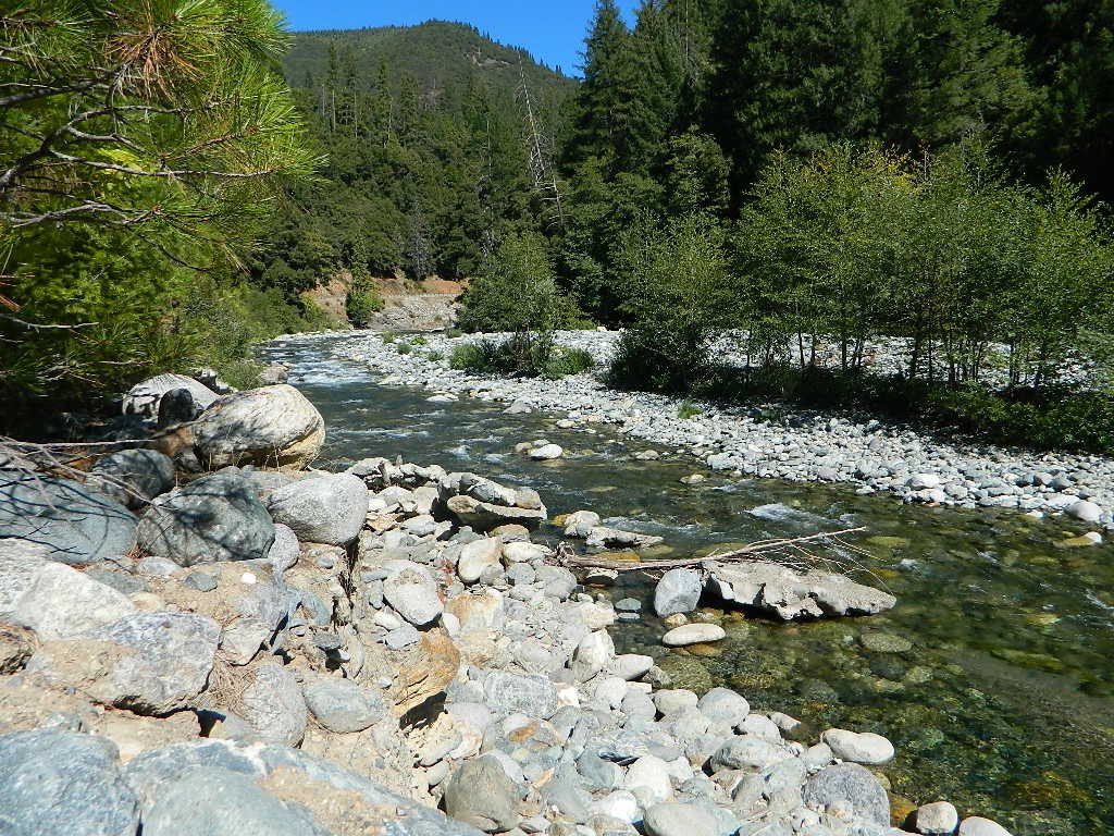
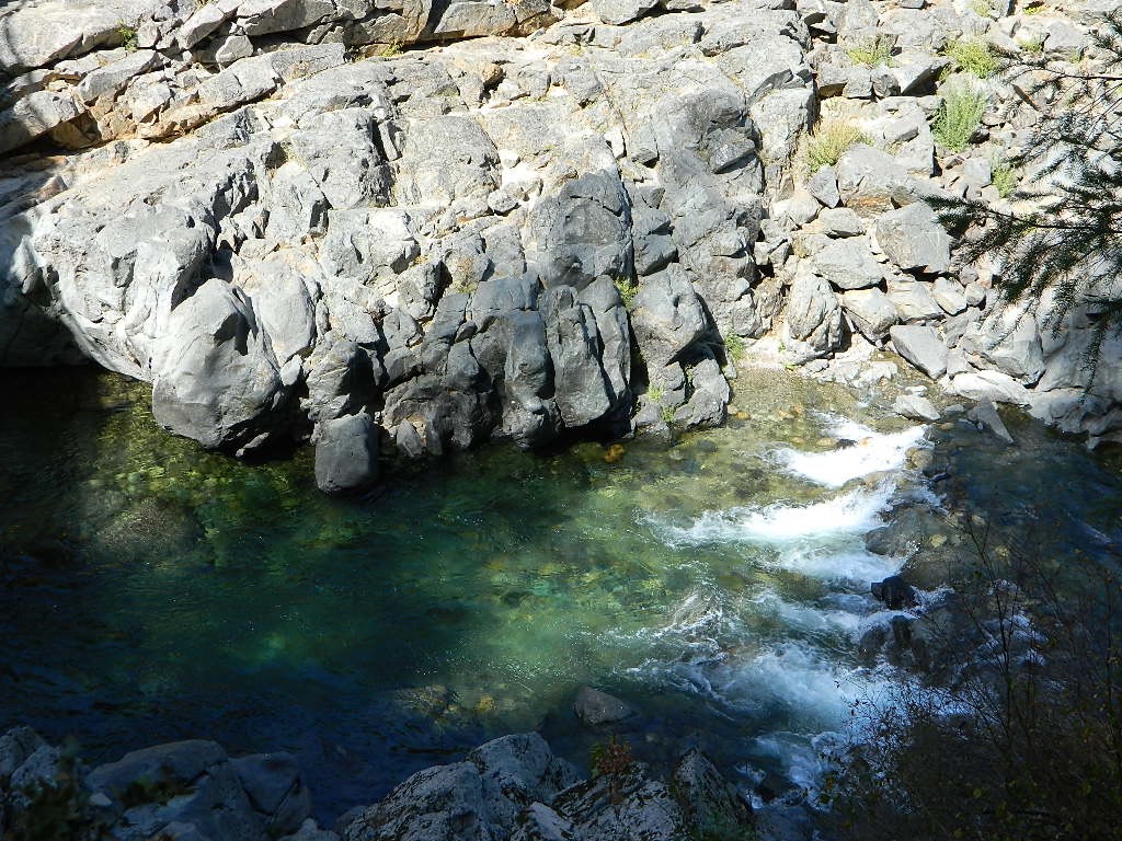
American River, Central Sierra Nevada
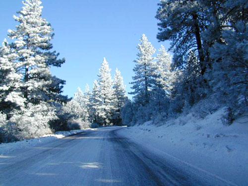
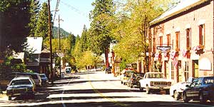
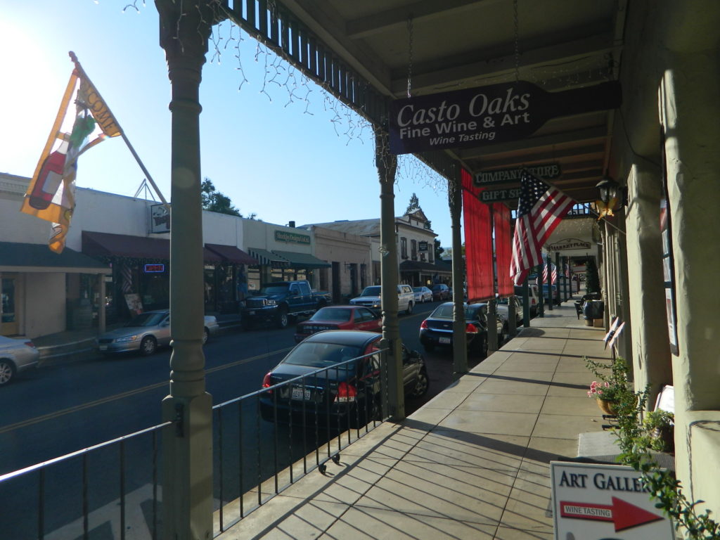
Donner Pass – Gold Country California
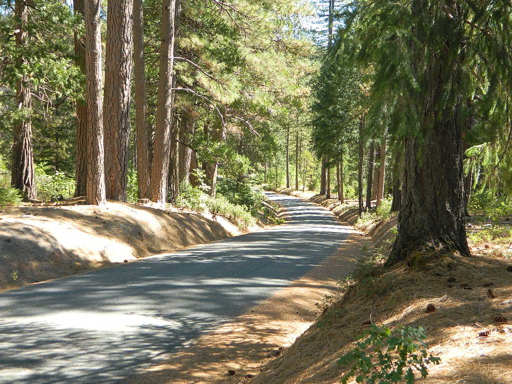
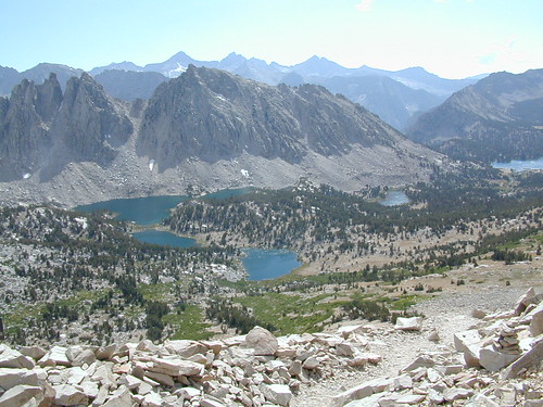
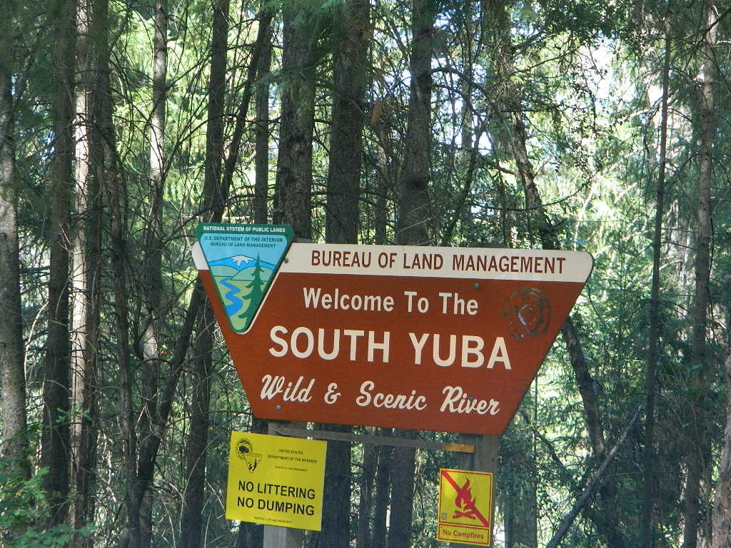
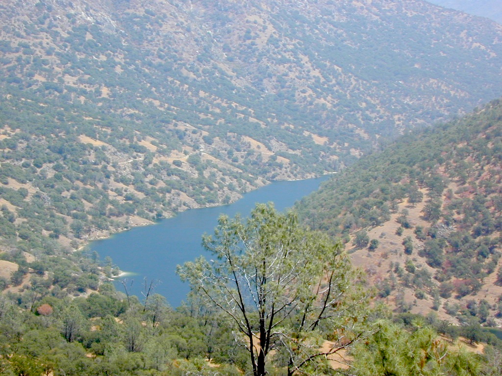
El Dorado National Forest
Folsom Lake, Sacramento, CA
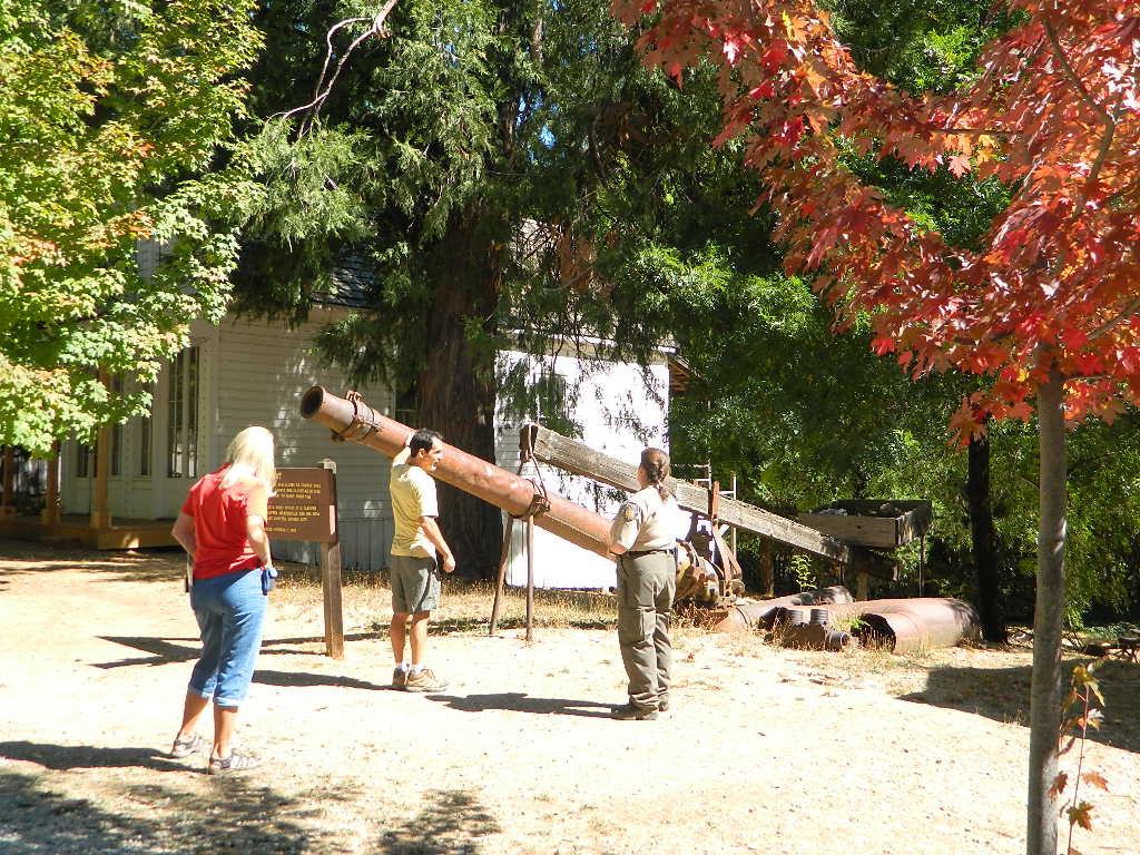
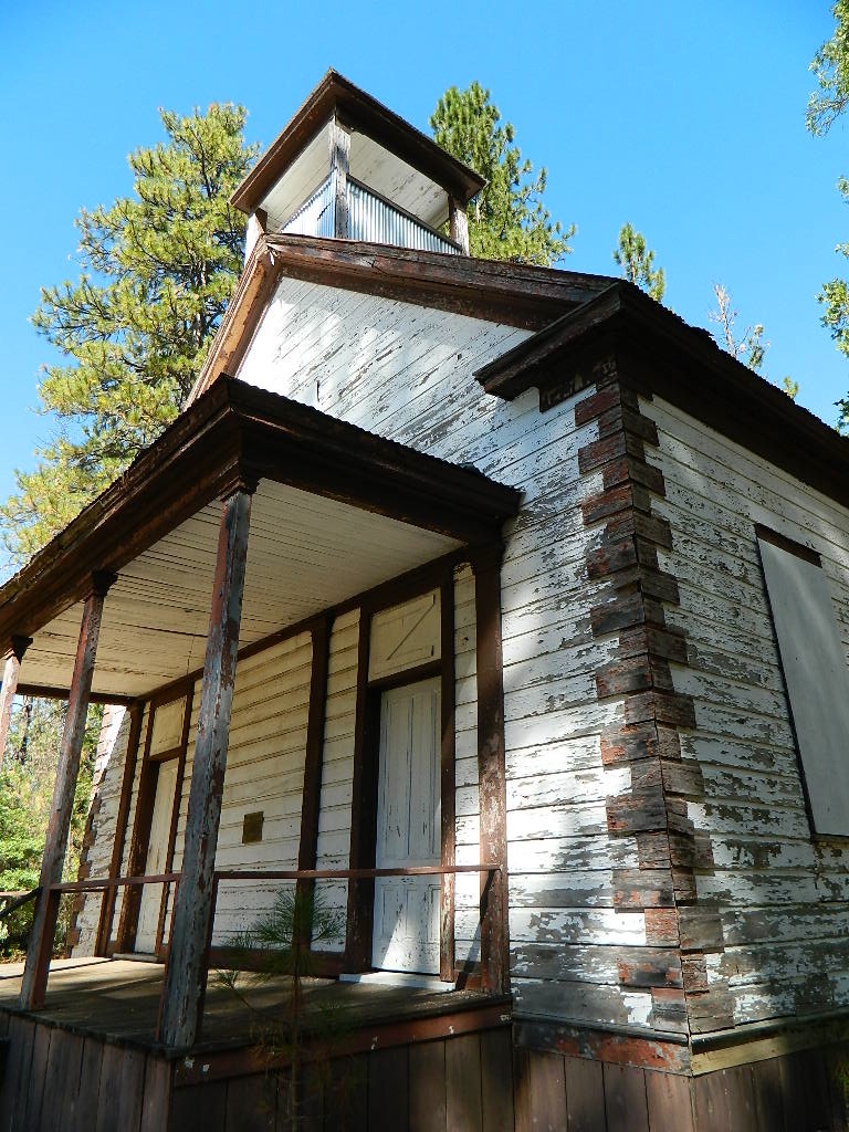
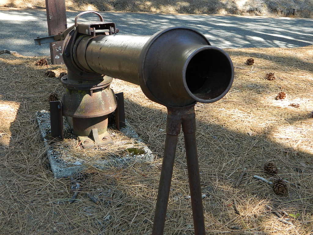
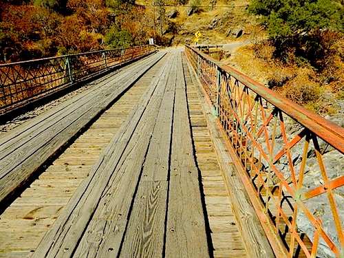
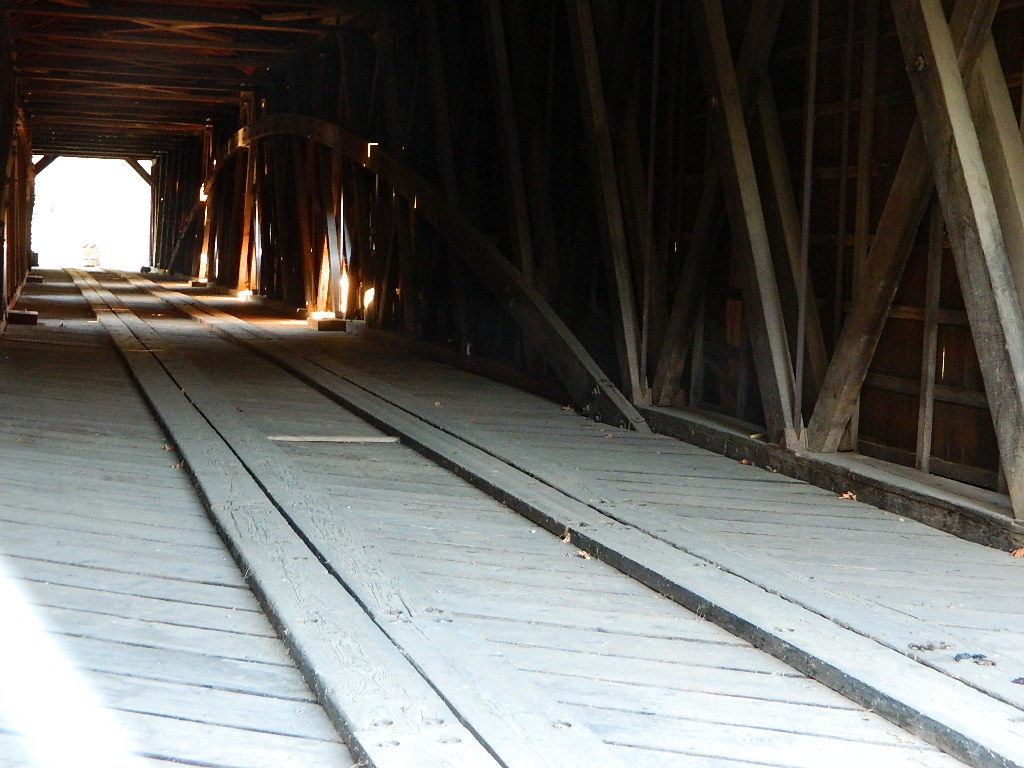
This is a major river in the Sierra Nevada landscape, as well as in the Gold Rush history of California. Many mining camps, railways, old abandon mines, dirt roads, hiking trails, mountain biking routes, waterfalls and even ancient artifacts can be found on the back roads. The native tribes once heavily populated these river canyons since the location is ideal, half way between the big mountains and the sunny warm valley.
 North fork of American River drains most of the Donner Pass region, all along Interstate 80. Indian Creek is a feeder stream coming from Sugar Pine Reservoir. No large reservoirs exist along this American North Fork, although there is a wide section of the river, above Auburn, called the North Fork Lake.
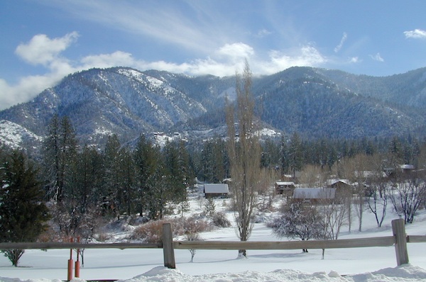
Middle fork of American River comes down from the Granite Cheif Wilderness, next to Lake Tahoe; Foresthill (3225′ elev) is a small mountain community w/ a ranger station; French Meadows Reservoir is way back in there, toward the highest peaks @ 9000′ elevation.
South fork of American River parallels the State Highway 50, which connects Placerville to Lake Tahoe via the Kyburz Pass. Union Valley Reservoir and Ice House Reservoir make up this part of the drainage for abundant snow melt.
The north and middle flows of this river join in Auburn, near the freway @ I-80. The south fork joins the rest downhill in the Central Valley, at Folsom Lake, NW of Sacramento, CA
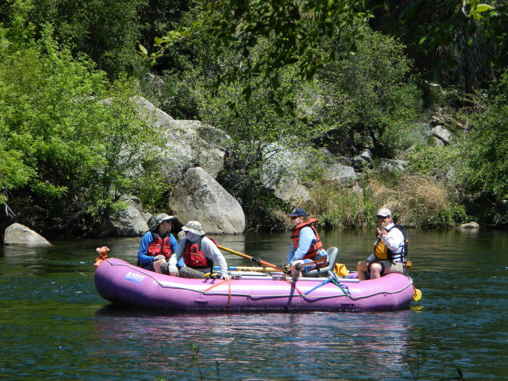
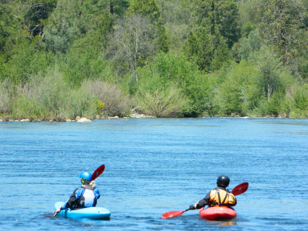
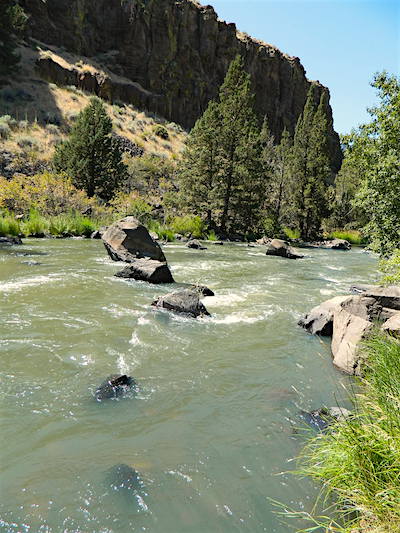
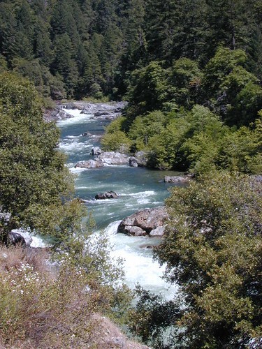
rapids: turbulent, fast moving water

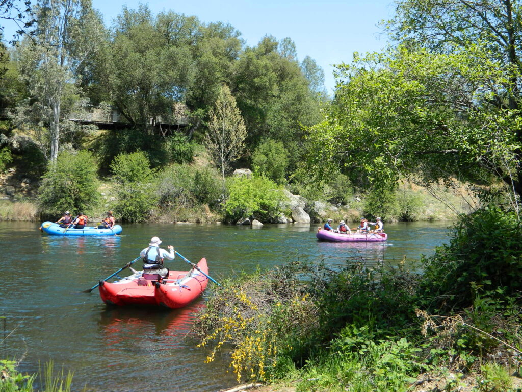
River Rafting on the American River
This is a rapid moving river, with serious force. Not to be taken lightly. Wear life vest and stay alive; Don’t swim in dangerous conditions and spare your life!
Go whitewater river rafting with experienced leaders, who offer professional guide rafting tours. Always wear a life vest in the water. Toying around with an inflatable cheap raft on a big river, can leads to all kinds of trouble.
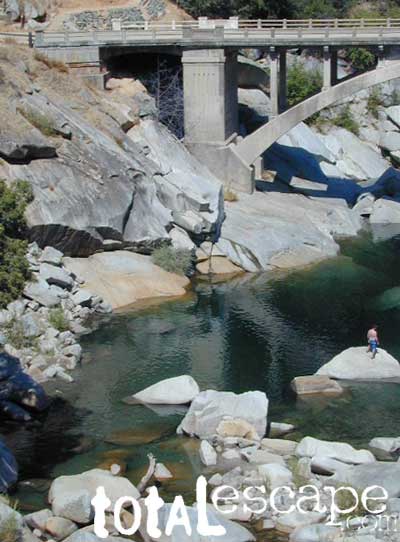
 James W. Marshall discovered gold in January of 1848 on the South Fork of the American River
- backpack

- camp
- fish
- hike
- kayak
- mountain bike
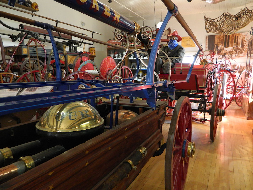
- museums
- off-road
- raft
- swim
Numerous feeder creeks and rivers drain into American River:
- Indian Creek
- Owl Creek
- Pilot Creek
- Rubicon River
- Secret Ravine
- Silver Creek (flows to south fork)
- Silver Fork of the American River (flows to north fork)

Camping & Campgrounds on the American River
south fork (CA Hwy 49 & US Hwy 50)
- American River Resort
- Camp Lotus
- Coloma Resort
- Lovers Leap Campground
middle fork (CA Hwy 49)
- Mammoth Bar River Access
- Mammoth Bar OHV Area
- Ruck-A-Chucky Campground
north fork (CA Hwy 49 & I-80)
- Upper Clementine Campground
- Iowa Hill @ Mineral Bar
- Mineral Bar Campgrounds
- Gray Rock Campground
- China Flat Campground
- Silver Fork Campground


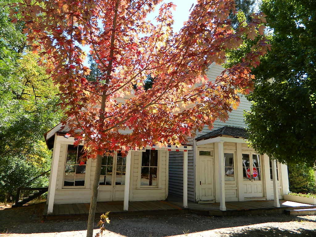
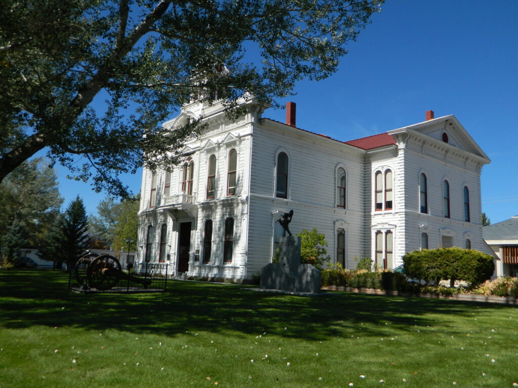
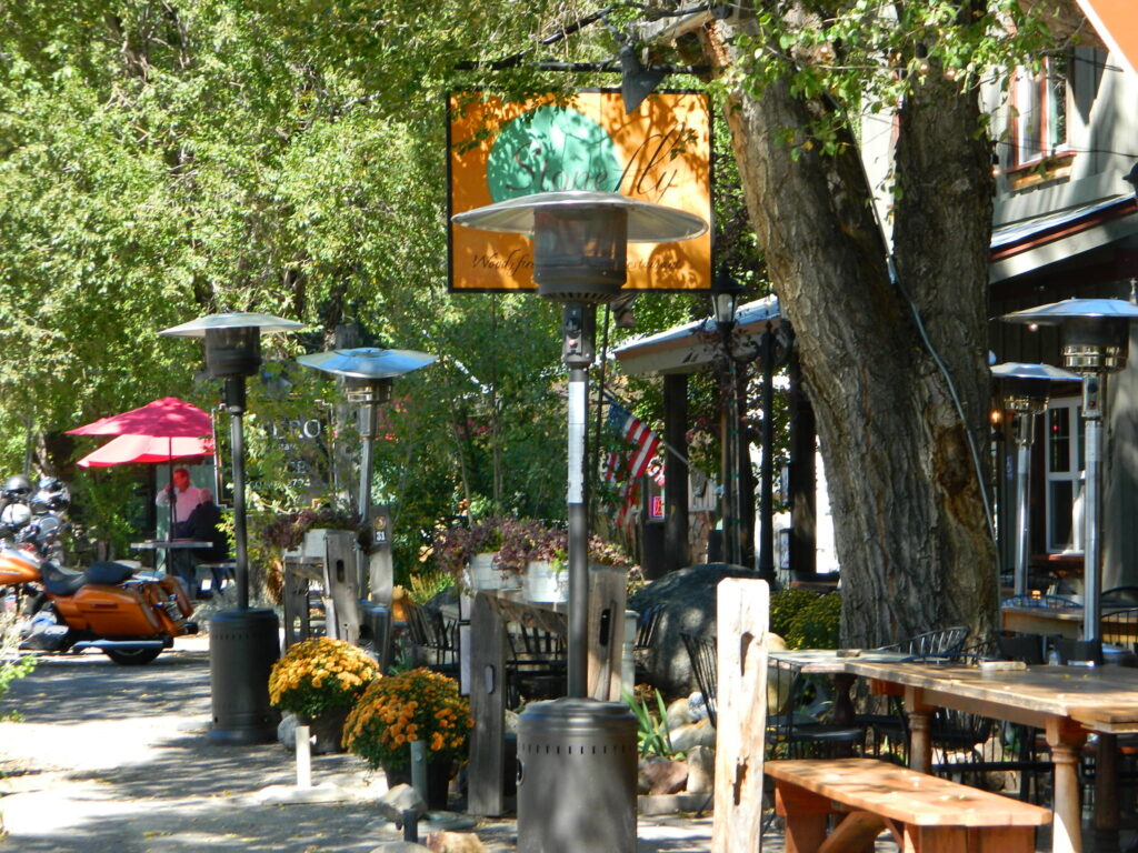
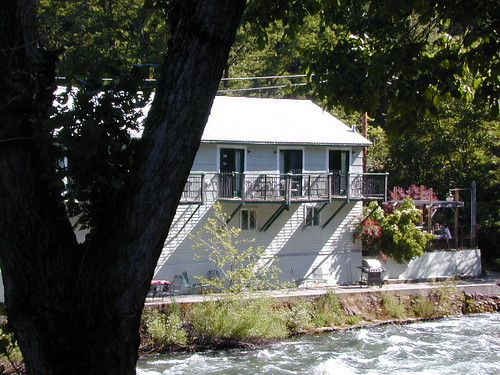
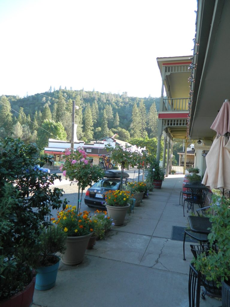
Auburn Lodging near the American River with numerous unique overnight options closeby. Colfax, the rail-town up the interstate, also has small motels and inns, most are freeway close. Foresthill is a residential area near the Middle Fork of the American River. Placerville, on the South Fork has more hotel choices. See more on Historic Gold Country
Parks & Forests along American River
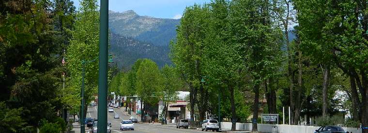
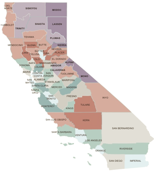
Towns along American River:
- Auburn
- Colfax
- Coloma
- Folsom
- Foresthill
- Georgetown
- Placerville
- Sacramento
- Strawberry
- theamericanriver.com
- California Dept. of Water Resources
- American River Parkway Foundation
- American River Parkway
- American River Festival
- Save the American River Association
- Protect American River Canyons
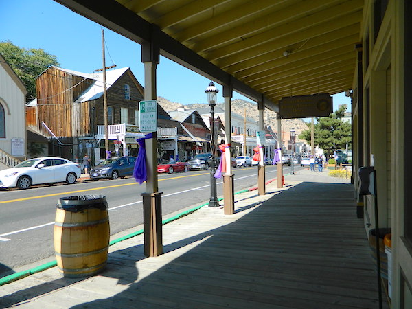
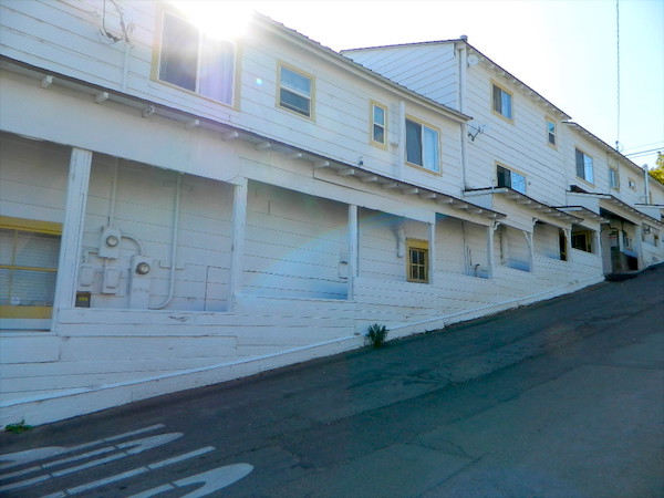


 Camping Virginia City
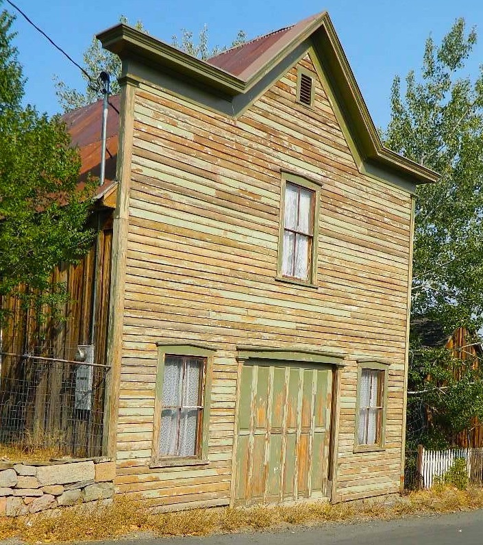


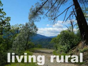
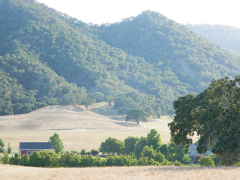
 Rural reaches of rivers, mountains, high and low deserts. Find a new town in Northern California or in the Sierra foothills. Discover a new place for local vacations, or go all out and get a new job, in a new town.
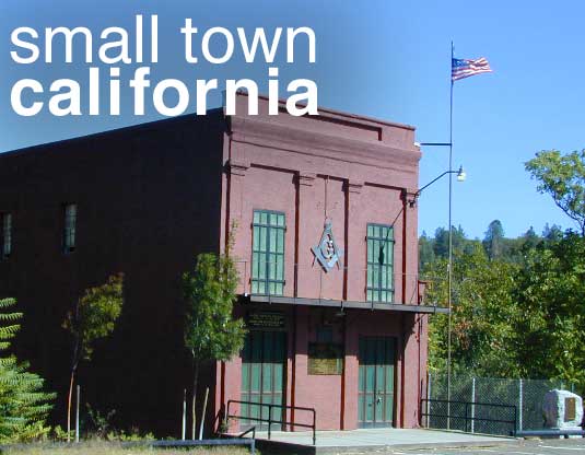


 Free primitive camping on dirt roads, can be found way up near the Bassetts intersection. Opposite from Gold Lake Hwy – turn RIGHT (south) on to logging roads: Forest Rd #54 (long ridge route, all dirt) and club into the forest. Drive a several miles up to any large dirt pulls out. Passenger car accessible road; No low riders. Carry a good forest map. Many primitive camp spots have wide openings with views of the Sierra Buttes and crystal clear night skies. Wind can get bad on this mountain ridge, so pick your camp spot with that in mind.
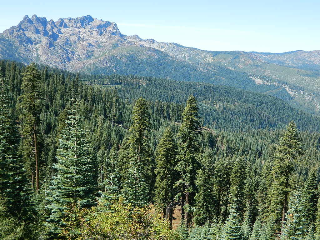

