Activities
| Camp
altitude.elevation
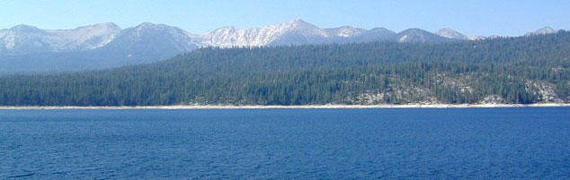
Elevation = Vegetation
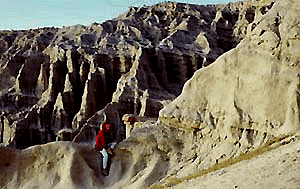
The extreme terrain of California suprises many newcomers as to how different one part of the state looks to another. Below is a general overview on elevation pertaining to most California landscapes. Western mountain slopes are greener & get more moisture from the west (Pacific Ocean), plus the first rains of a storm. The lower altitude, coastal foothills can get a lot of moisture, especially during winter months. The Eastern slopes are drier and face the desert (Great Basin). Desert Mountain regions are quite different. Most dry ranges are in the "rain-shadow" of the taller Sierra Nevada mountain range and get little moisture.
- coastline areas
- cities & suburbs - population centers
- coastal foothills
- central valley & agricultural areas
- farmlands & orchards
- dry chaparral
- manzanita
- grasslands & hills
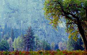
- coast redwoods trees
- spring wildflowers
- rolling oak foothills
- big rivers in valley
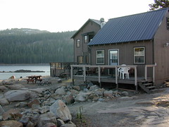
- valley reservoirs
|
 coastal coastal
 country country
 city city
|
|
|
 mountain elevations mountain elevations
river canyons & foothills
|
|
9000' - 10,000' elevation
|
10,000' - 14,000' elevation
|
- granite terrain
- snow & ice during most months
- alpine lakes
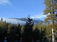
- pine trees
- cedar pines
- bristlecone pines
- little ground vegetation
|
|