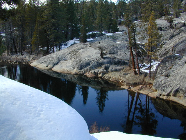

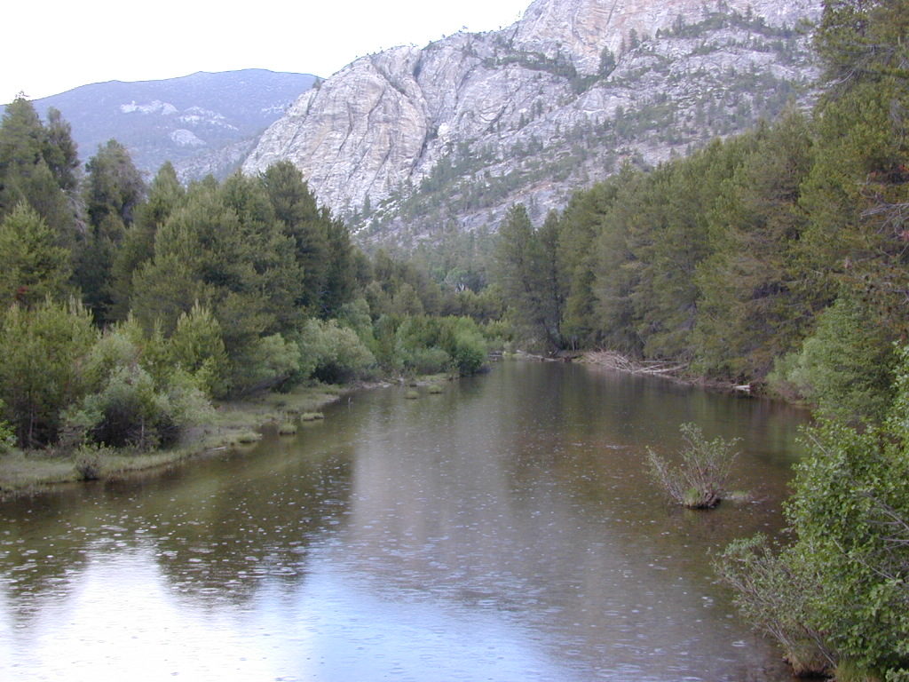
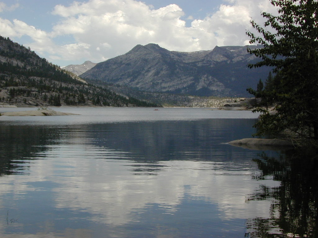
San Joaquin River, Sierra Nevada
Edison Lake, Florence Lake, Shaver Lake, Huntington Lake
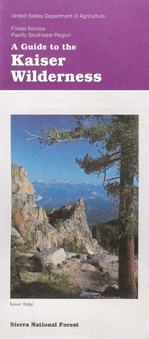
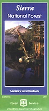
Kaiser Wilderness, Sierra National Forest
2021 – MUCH OF THIS RIVER may be INACCESSIBLE,
due to the Creek Fire 2020
The San Joaquin watershed begins way up in the High Sierra, Ansel Adams Wilderness to be exact. Eastern Sierra ranges, up behind Mammoth Mountain peaks called The Minarets, the snow drains westward. Far from the San Joaquin Valley, way above Fresno, CA
- backpack
- camp
- canoe
- fish
- hike
- horseback
- hot springs
- kayak
- mountain bike
- off-road
- picnic
- snow-mobile
- stargaze
- waterfalls
- wildflowers
Sierra Forest Road #80 is Kaiser Pass Rd. Starting next to China Peak Ski Resort (formerly Sierra Summit) Take the right turn, near Huntington Lake. Kaiser Pass Road is a paved back country road climbing steeply up into the high country.
Sierra Nevada / Central California
Forests along San Joaquin River:
Sierra National Forest
Dinkey Lakes Wilderness
Kaiser Wilderness
Ansel Adams Wilderness
John Muir Wilderness
Lakes & Hot Springs along San Joaquin River:
Florence Lake
Ward Lake
Edison Lake
Mammoth Pool Reservoir
Mono Hot Springs
Redinger Lake
Kerckhoff Lake
Milleron Lake SRA
Campgrounds along San Joaquin River:
(Florence Lake)
Jackass Meadow Campground
Ward Lake Campground
(Edison Lake)
Mono Creek Campground
Vermillion Campground
(Kerckhoff Lake)
Smalley Cove Campground
Mammoth Pool Campground
Sweetwater Campground
Rock Creek Campground
Redinger Campground
Milleron Lake State Recreation Area
Towns near San Joaquin River:
Bass Lake, CA
Fresno, CA
Clovis, CA
North Fork, CA
Shaver Lake, CA
Huntington Lake, CA
Friant, CA
Auberry, CA
Prather, CA
Alder Springs, CA
Sierra National Forest Headquarters
1600 Tollhouse Road
Clovis, CA 93611
559-297-0706
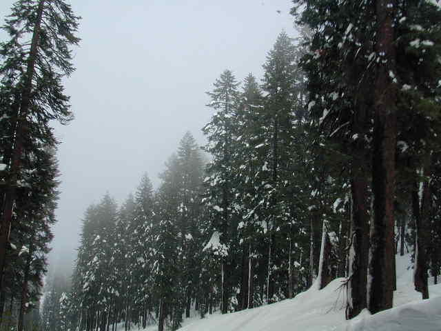
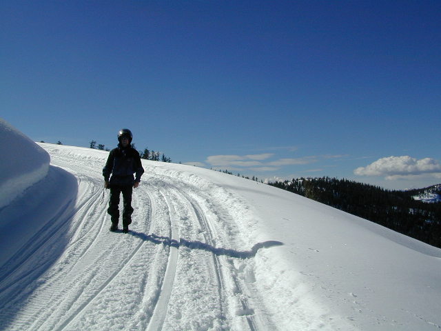
 WINTER ACCESS: Kaiser Pass is one of the few areas to enjoy snowmobiling trails and hot spring soaking. The distance to the springs is about 25 miles, one way and requires either cross country skis, snow shoes or snow mobile to reach.
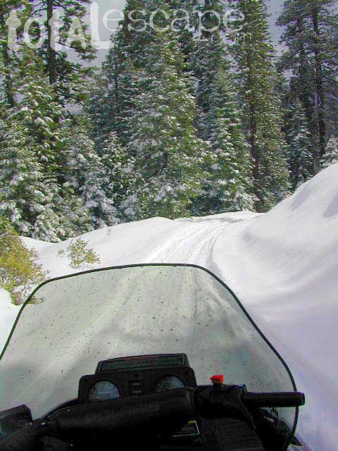
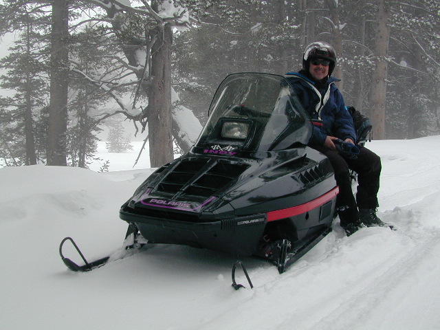
 SNO MO RENTALS: Snow depth is usually best after the first of the year and last through April. The round trip hot springs (self-guided) excursion can be done w/ a half day rental, but only if you follow some guidelines: Reserve machine @ Rancheria Enterprises, way ahead of time; Pack a lunch and snacks. Arrive early, gear up, get instructions and have a topo map; Be on the trail and traveling, not stopping on side routes, or play in the meadow or sightsee.
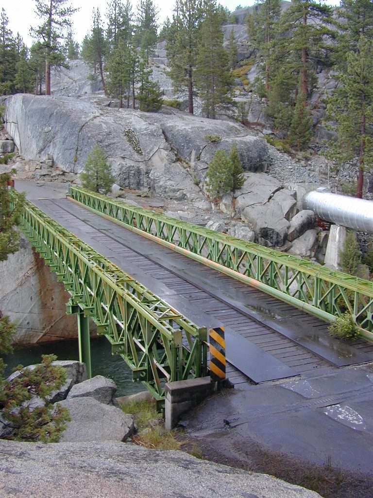
Narrow route continues on passing the meadow and goes for many miles. Trail traverses some steep terrain, with curves and cliffs, especially coming down hill to the river & green metal bridge. Parking spot is before bridge on left side. Hike a short distance, across marshy hillside to reach the 2 primitive hot tubs.