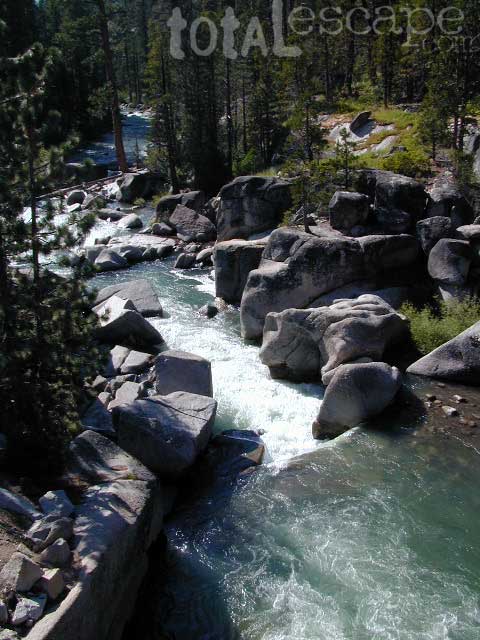
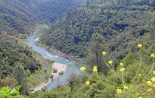
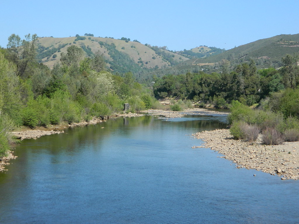
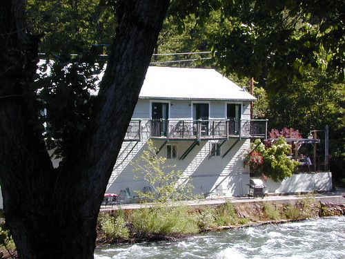
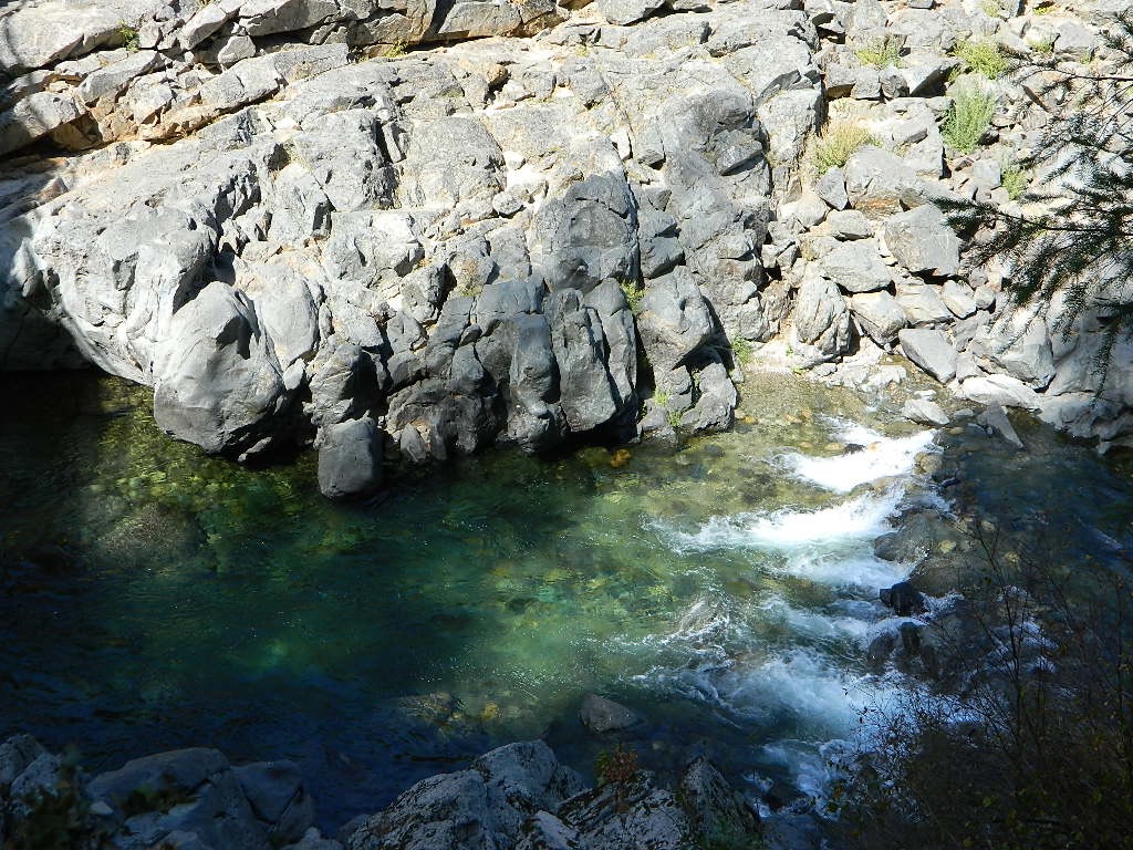
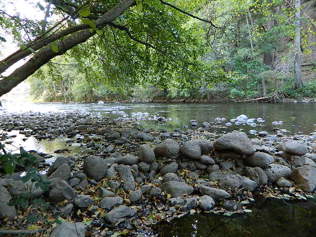
Stanislaus River
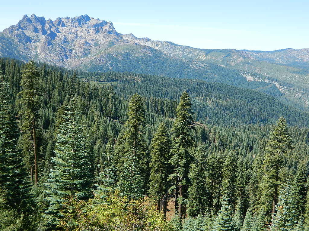
Central Sierra Nevada Mountains
Sonora Pass CA 108 / Ebbetts Pass CA 4
Stanislaus National Forest
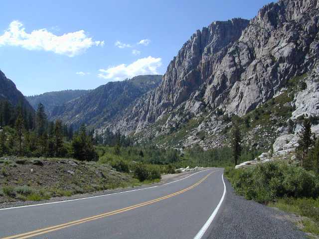
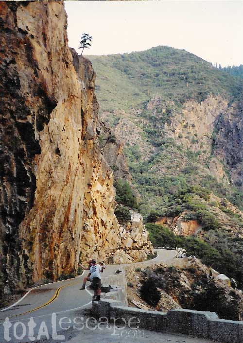
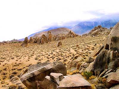
The Sierra Nevada mountain route that usually closes first and opens last, due to snow and rock slides . Sonora Pass snow is epic, but often unaccessible most of the year. Snow melt can be slow and this route may not open by until mid-summer. (Quite typical on this highway). Check Cal Trans Hwy Reports. Summer and early Autumn is the time to visit this region, so plan accordingly.
This Big Sierra River is so far reaching that it covers areas from two different Wilderness Areas and two Sierra highway systems: Sonora Pass 108 & Ebbetts Pass Hwy 4.
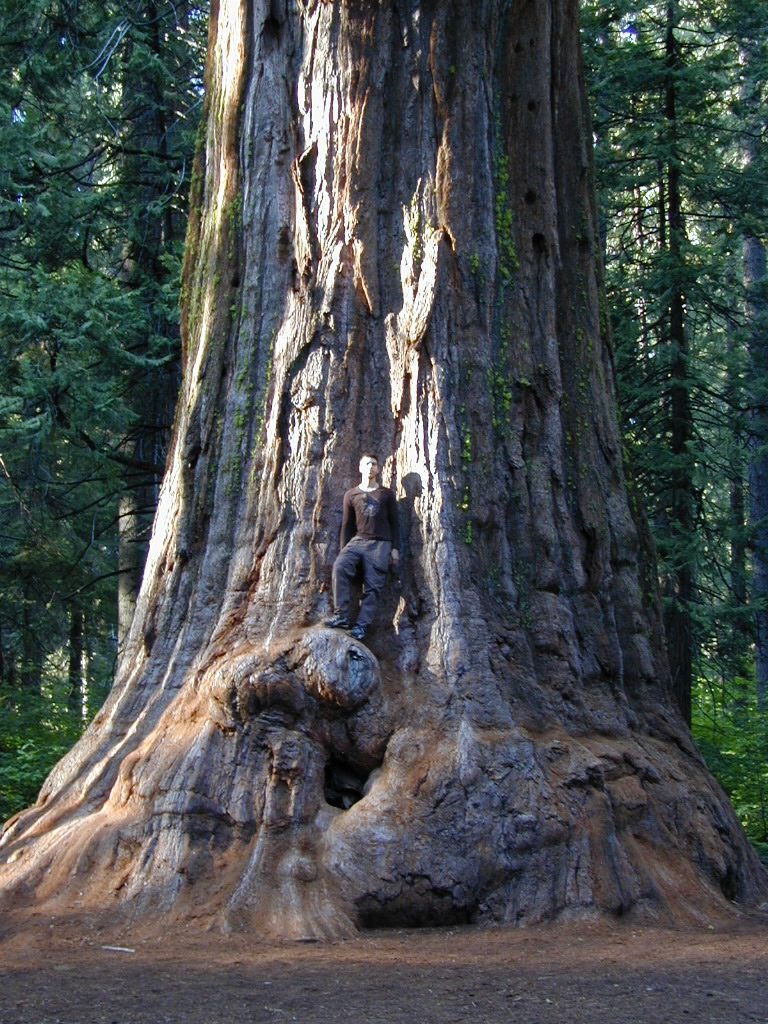
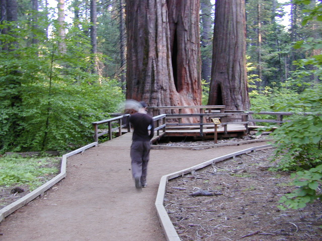
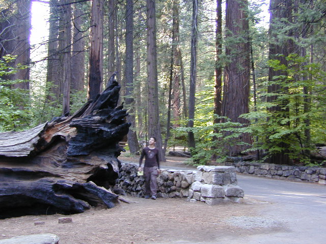
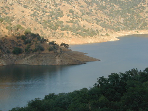
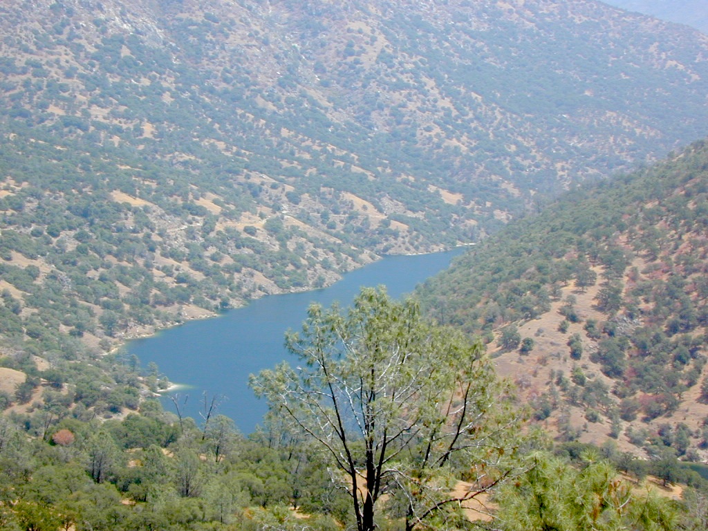
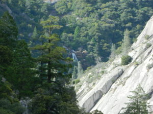
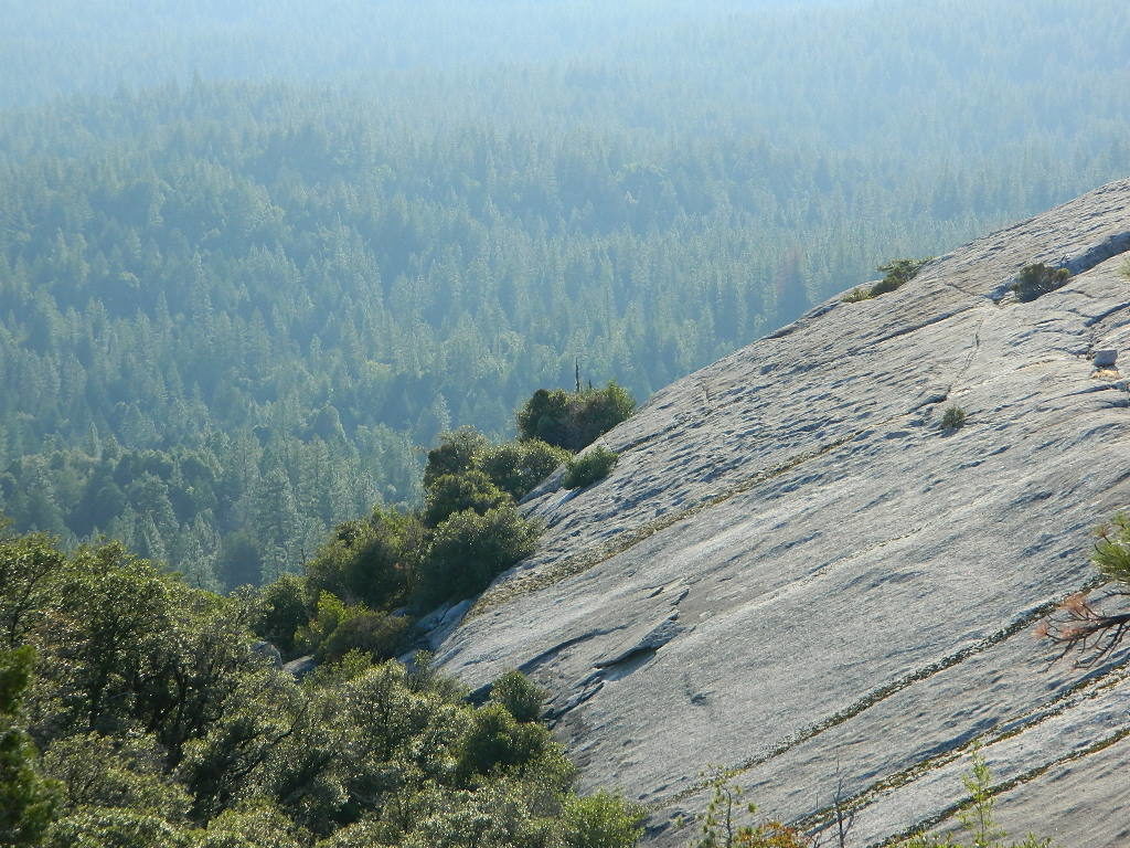
The North Fork of Stanislaus River starts up at Highland Creek (below Highland Lakes) and parallels the Ebbetts Pass pavement westward down the mountain. Numerous lakes and parks along this steep northern fork, all lined with impressive granite rock. Spicer Reservoir, Elephant Rock, Summit Lake, Calaveras Big Trees State Park and Stanislaus National Forest.
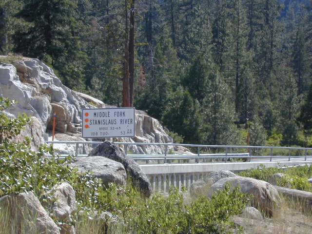
Middle Fork of Stanislaus River, overview
- Clark Fork flowing from the Dardanelles in Carson Peak Wilderness, become the Middle Fork of the Stanislaus River. Numerous Campgrounds, RV camps, horse camps along Clark Fork Road. California Highway 108 may still have a real old fashioned pay phone at this intersection. Go look.
- Kennedy Creek comes in from the south side of the highway and creates Kennedy Meadows, a horse packing ranch; Not to be confused with the Kern Kennedy Meadows, way down south.
- Eagle Creek and Kennedy, plus the Clark Fork are the main headwaters to Stanislaus River making up the Middle fork of this river. Traveling southwest thru the forest, with numerous Reservoirs and plenty of campgrounds.
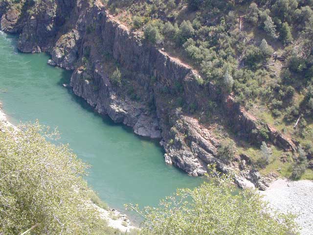
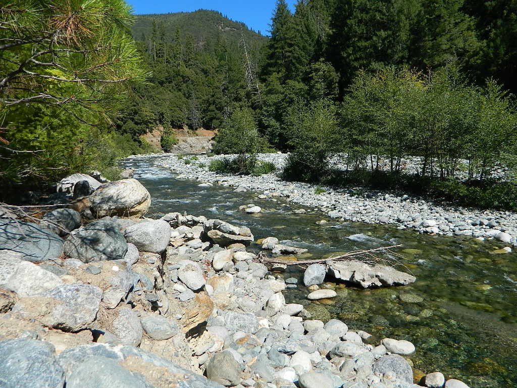
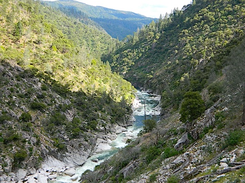
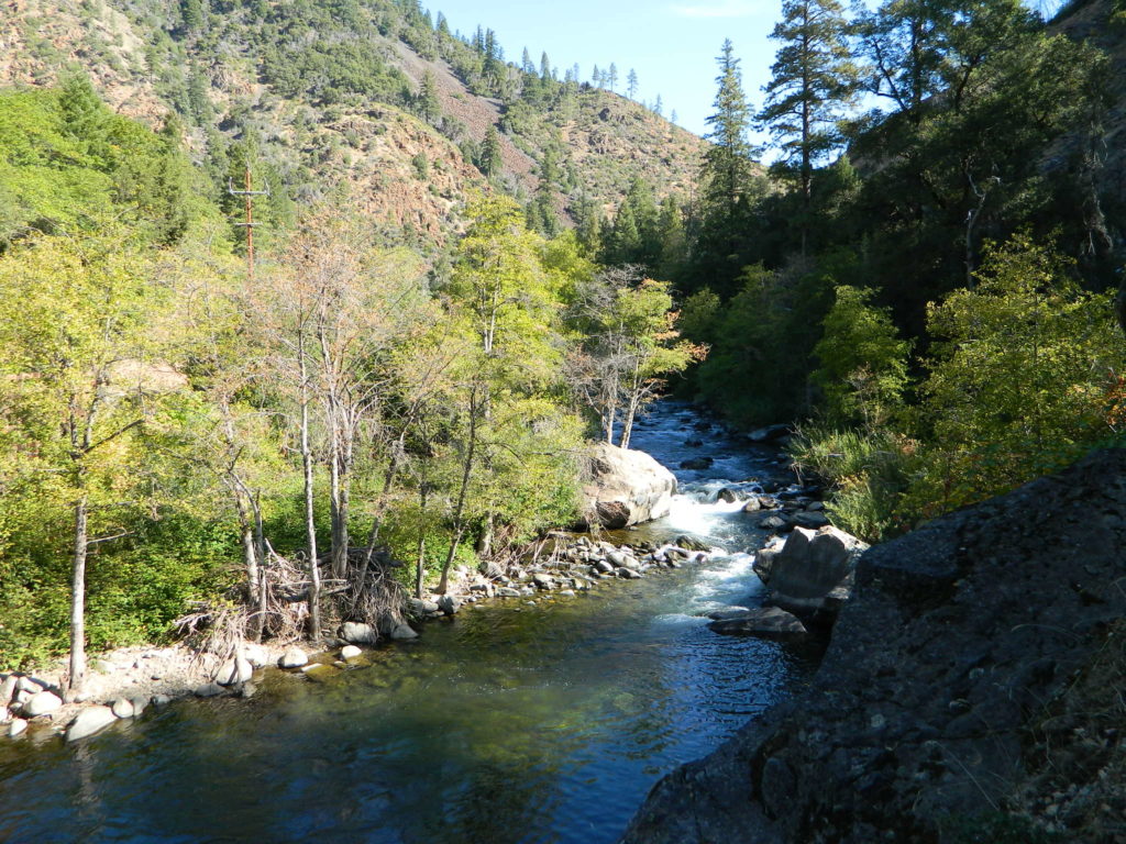
Middle Fork comes together near the Fence Creek Campground @ Hwy 108. Flowing downhill to join Donnell Lake, then 10 miles of ‘really rugged wild river’ down to Beardsley Lake, then to Sand Bar Flat Campground further below, and on towards the county line @ Calaveras.
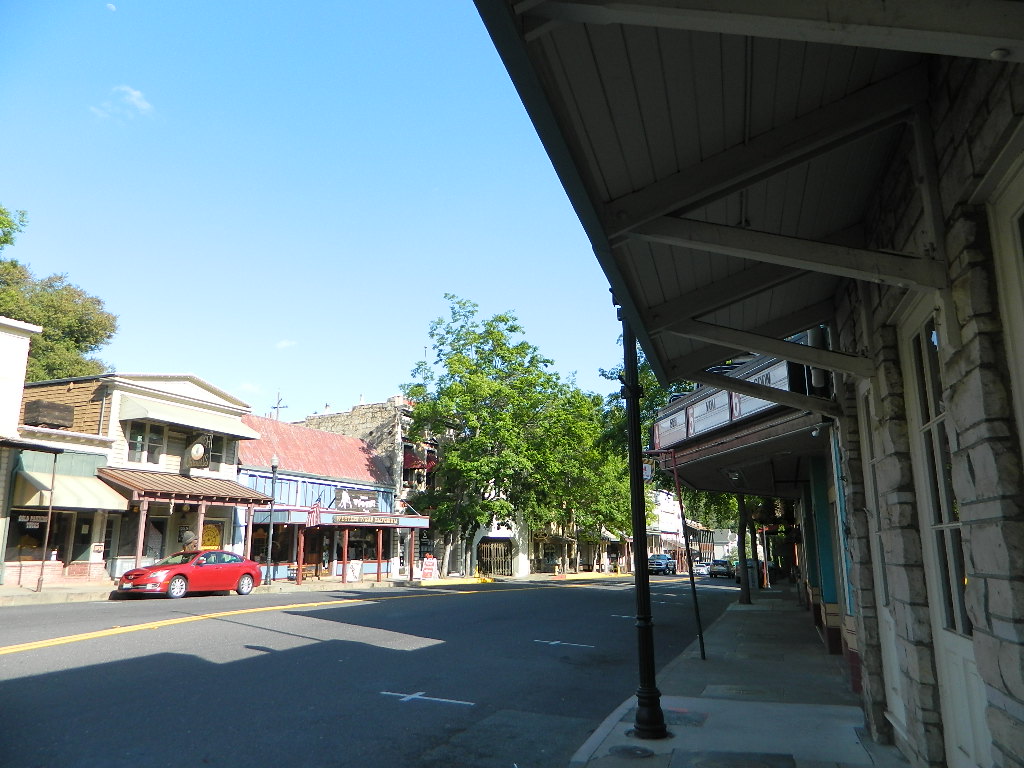
South Fork Stanislaus, the shortest of the forks, flows down from Pinecrest Lake, Dodge Ridge Ski Resort and the Emigrant Wilderness Area. Then hits Lyons Reservoir (4228′ elev) near the community of Long Barn, CA Italian Bar brings it right down to Historical Gold Camp, Columbia.
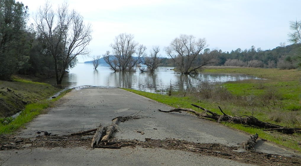
Eventually the massive Stanislaus River ends up in the San Joaquin (Central) Valley, like most of the Western Sierra rivers do, growing the food crops for all. California is a huge agriculture state.
Backpacking Big Wilderness
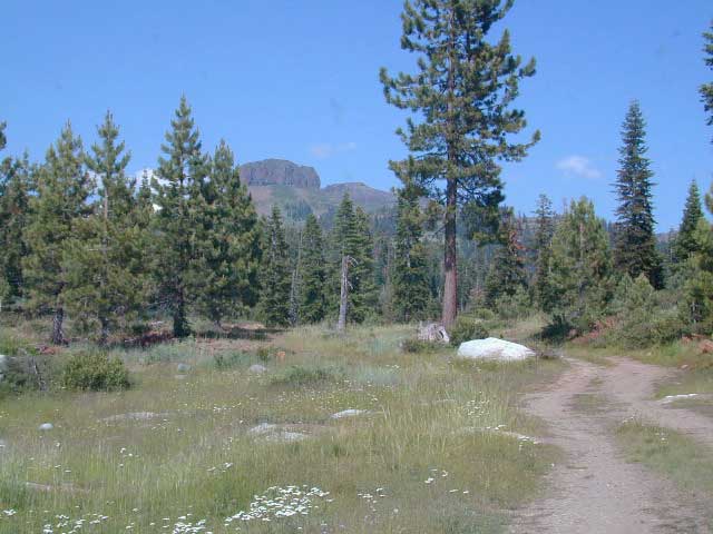
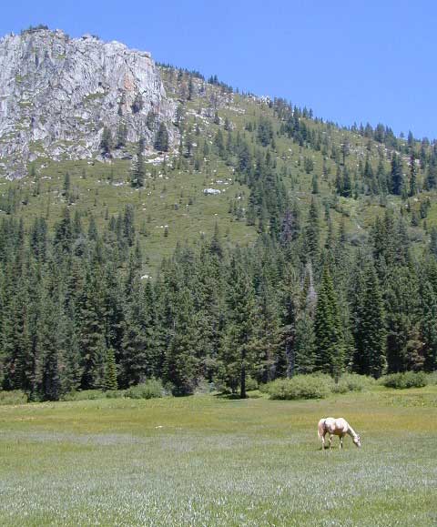
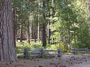
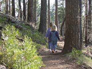
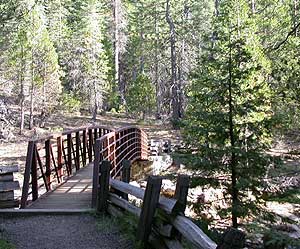
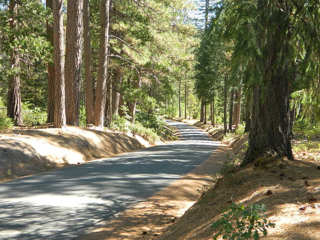
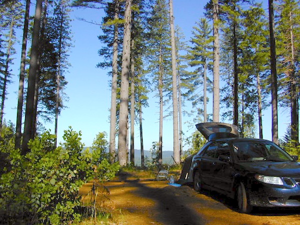
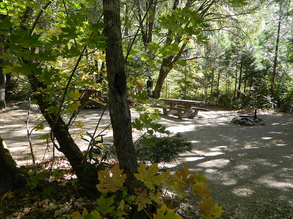
With Wilderness making up the majority of the landscape around these river canyons , there is ample opportunity for day hiking, creek fishing and backpacking adventures. May as well plan for a full week off of work, if you wanna explore in some depth. Many trailheads have small parking lots located on dirt roads, which are usually passenger car accessible.
Carson Iceberg Wilderness
Emigrant Wilderness
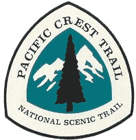 PCT = The Pacific Crest hiking trail cuts right across the tallest Sierra Nevada mountain pass – Sonora Pass 108 @ 9625′ elev.
Black Bears are common in this region and several areas have bear boxes for proper food storage. If not available, you’ll need a bear canister or learn to properly hang your food in a tree.
Winter closures due to deep snow is common more than half the year up here. Check Cal Trans for highway conditions and w/ local rangers to find out what back roads are open, and which ones are too muddy. 4WD may be needed to reach certain destinations, if snow & mud are still present. Winter SNOW CAN LAST UP HERE: on the peaks all summer long; And snow can start falling as early as October, so know the forecast before you set out on a major backcountry trip.
Wilderness permits are required for overnight stays in the backcountry. Stop by a ranger station to get the latest details before your big trek into the woods. USFS web sites are not always so up-to-date. A phone call or personal visit may be needed to get accurate info.
 Hiking Trailheads:
PCT Sonora Pass
Seven Pines
Kennedy Meadows
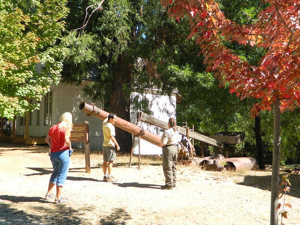
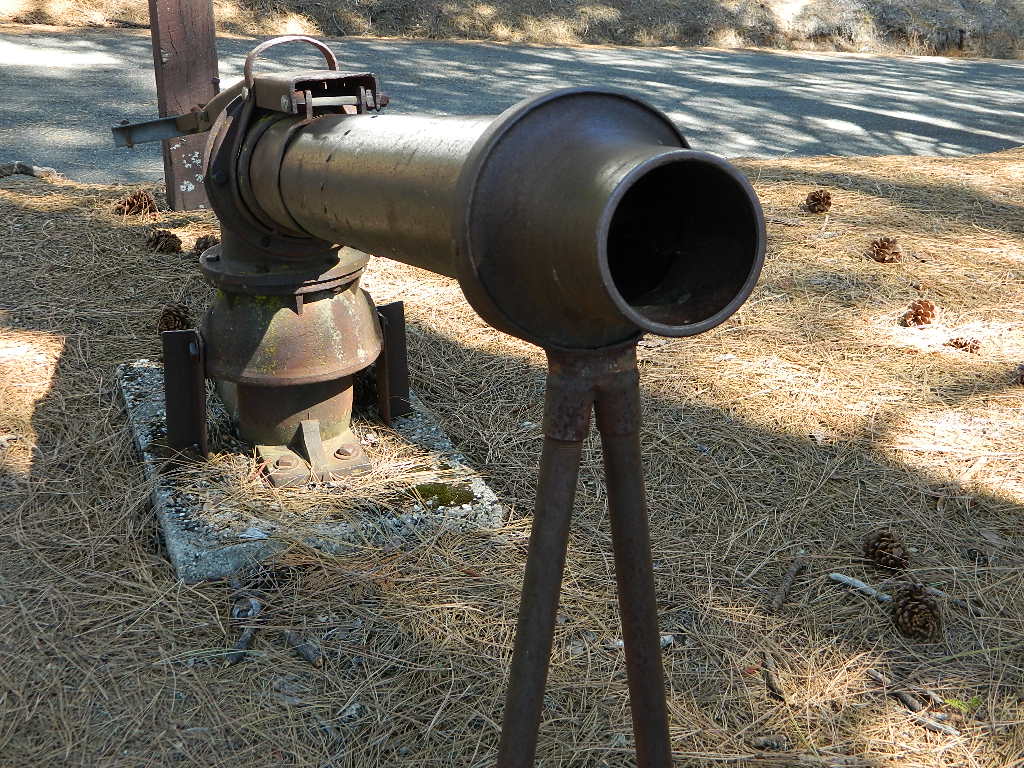
Columns of the Giants
Clarks Fork
Iceberg Meadow
Donnell Vista Point
Wheats Meadow
County Line
Bummers Flat
Sand Bar Flat
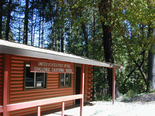
Stanislaus Ranger Stations ![]()
Stanislaus Forest Headquarters
19777 Greenley Road
Gold Country @ Hwy 49
Sonora, CA 95370
209-532-3671
Summit Ranger District
#1 Pinecrest Lake Road
Highway 108 (Sonora Pass)
Pinecrest, CA 95364
209-965-3434
Calaveras Ranger District
5519 Highway 4 (Ebbetts Pass)
Hathaway Pines, CA 95233
209-795-1381
USFS @ Highway 4
Mi-Wuk Village, CA
[CLOSED to PUBLIC]

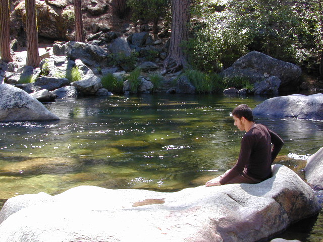
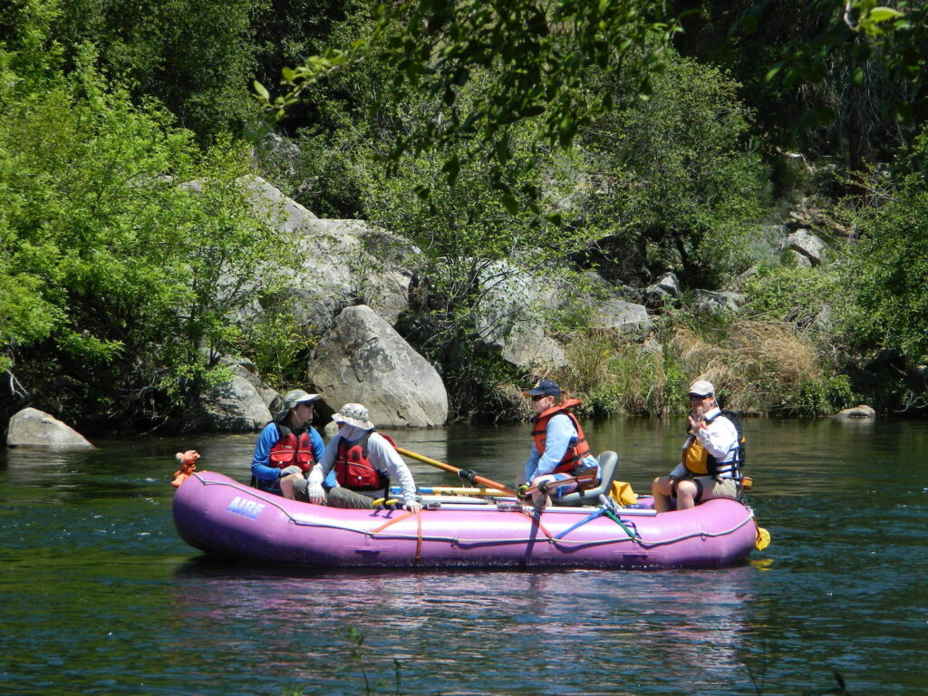
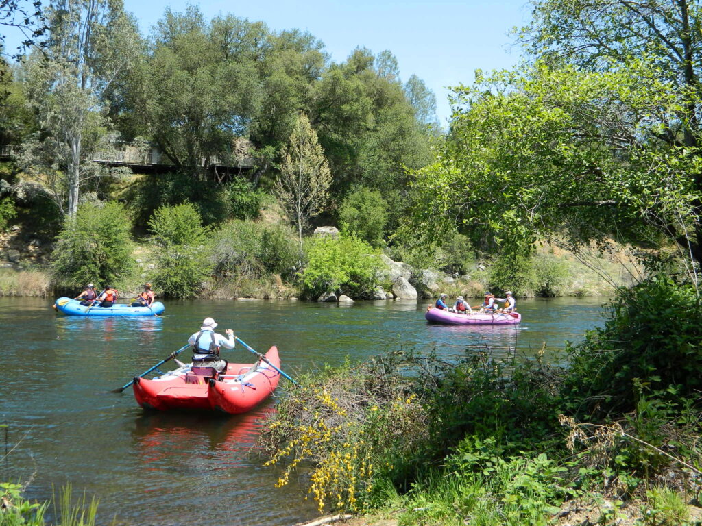
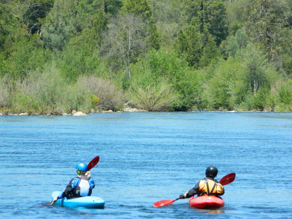
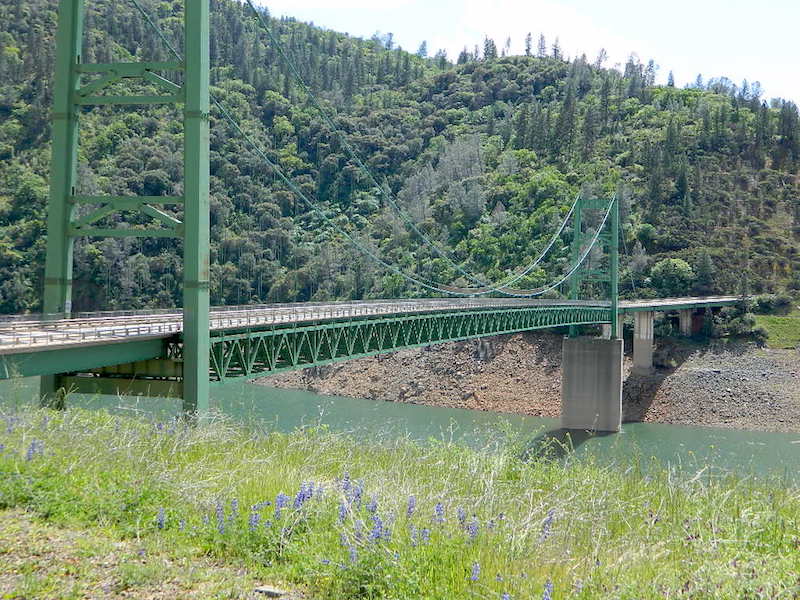
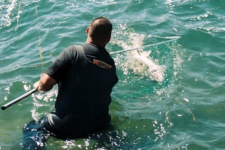
River Rafting on the Stanislaus River
Outdoor Recreation:
- Backpacking
- Boating
- Camping
- Fishing
- Hiking
- Hunting
- Kayaking
- Mountaineering
- Off-Roading
- River Rafting
- Rock Climbing
- Snow Skiing
- Stargazing

- Wilderness
- Wildflowers
Forest & Parks along this River:
- Beardsley Lake
- Calaveras Big Trees State Park
- Caswell Memorial State Park
- Carson Iceberg Wilderness
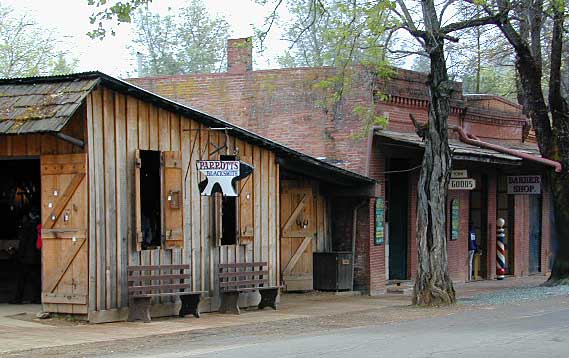
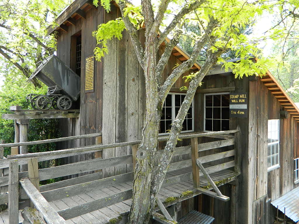
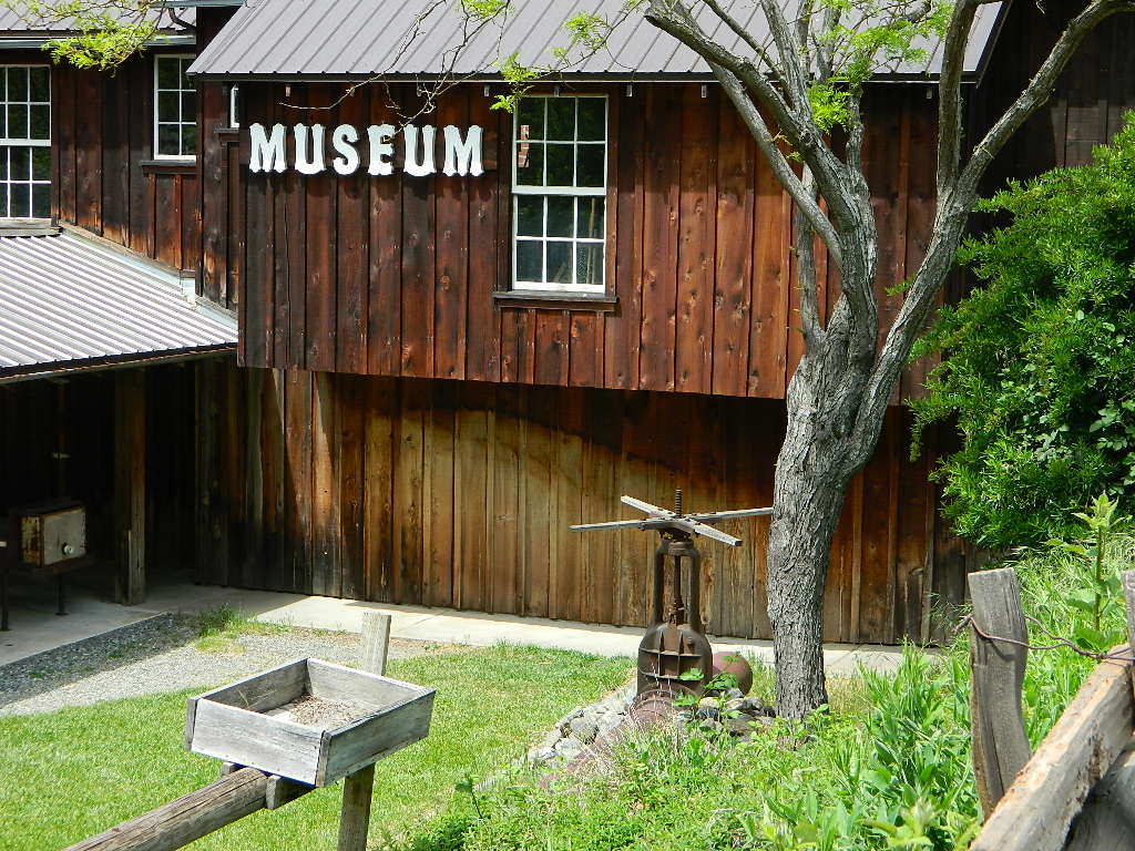
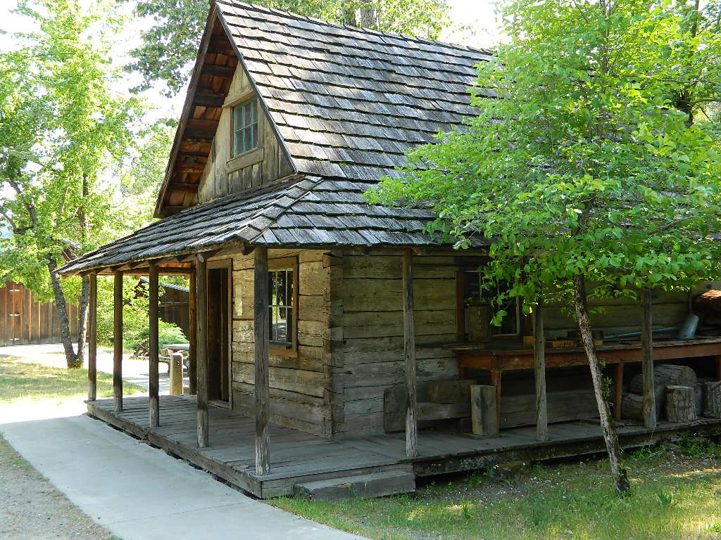
- Columbia Historical State Park
- Donnell Lake
- Emigrant Wilderness
- Highland Lakes
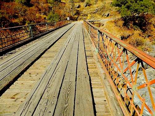
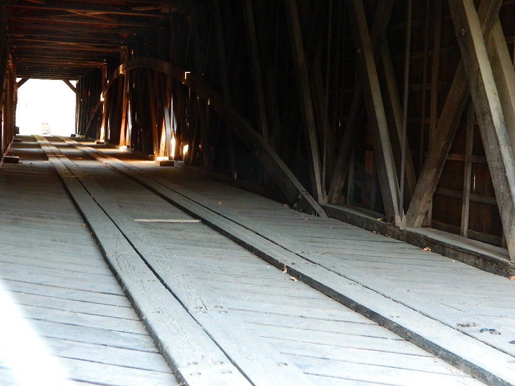
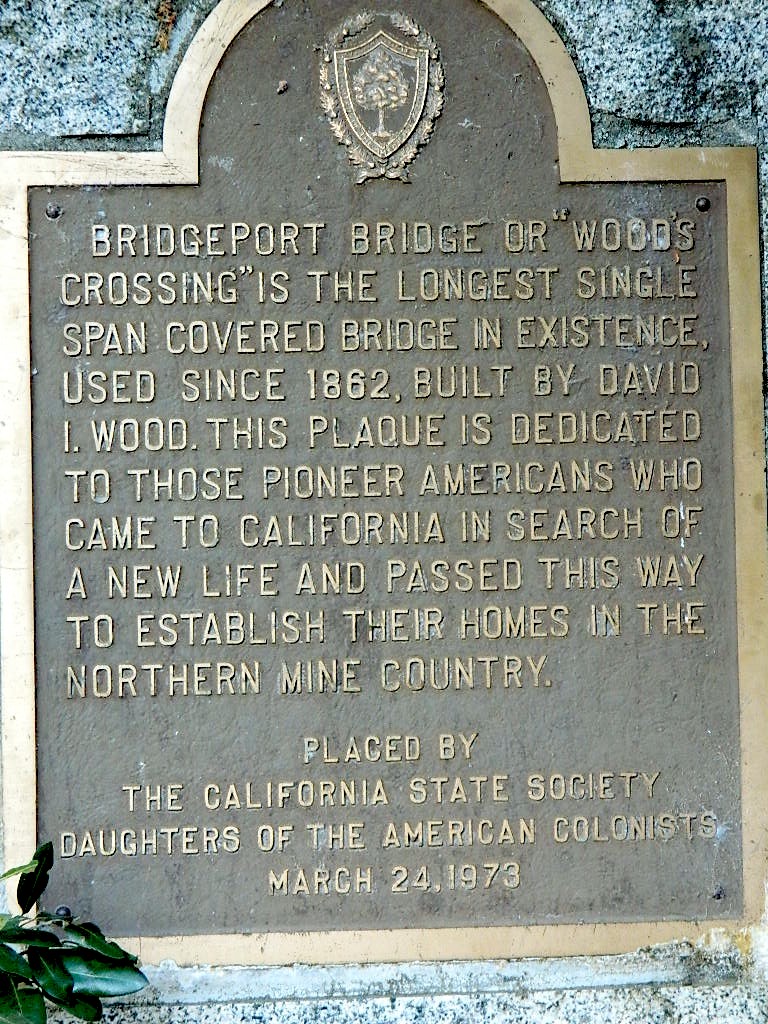
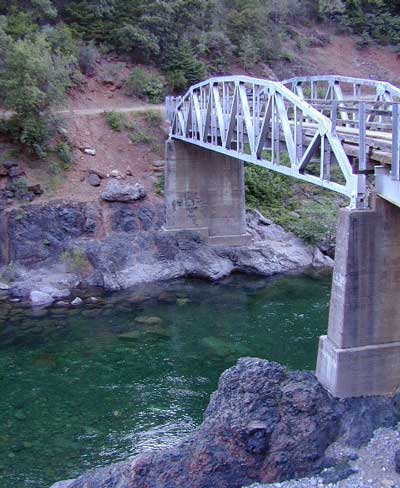
- Knights Ferry Covered Bridge
- Lyons Reservoir

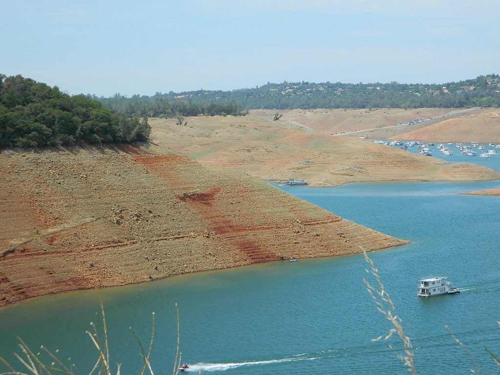
- New Melones Lake
- Pinecrest Lake
- Spicer Reservoir
- Stanislaus National Forest
- Lake Tulloch Reservoir
- Union Reservoir
- Utica Reservoir
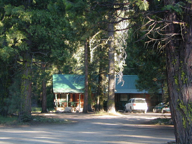
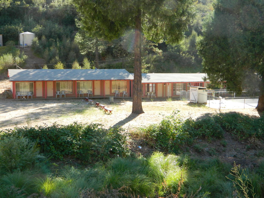
Sierra Mountain Lodging

Sonora, CA
Twain Harte
Pinecrest
Dardanelle
Lake Alpine
Arnold, CA
Murphys, CA
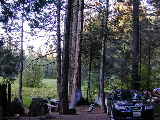
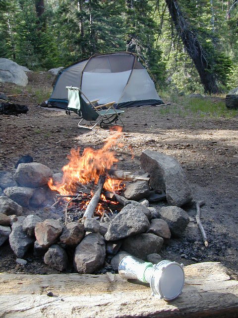 Best Camps are always on the Back Roads
NFS Campgrounds along this River
North fork of Stanislaus
Highland Lakes Campground
Sour Grass Campground
Spicer Reservoir Campground
Middle Fork of Stanislaus
 Boulder Flat Campground
Brighten Flat Campground
Dardanelle Campground
Pigeon Flat Campground
Eureka Valley Campground
Baker Campground
Deadman Campground
Clark Fork Horse Camp
Clark Fork Campground
Fence Creek Campground
Sand Flat Campground
Cascade Creek Campground
Sand Bar Flat Campground
South Fork of Stanislaus
Fraser Flat Campground
Pinecrest Lake Campground
Dispersed Camping Mid-Sierra
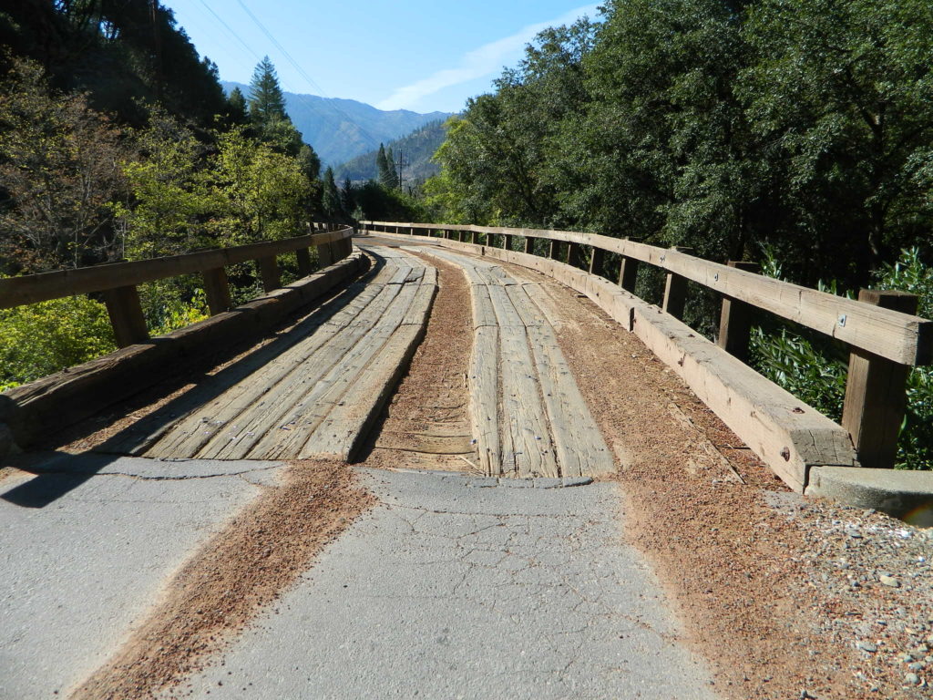
The Wilderness boundaries on each side of the pavement (CA 108) along with giant granite walls, steep cliffs, boulders, wild raging rivers and dense forests make dirt road accessibility somewhat limited along the Sonora Pass Highway. Ebbetts (CA 4) has more dirt road accessibility, especially beyond Beardsley Lake.
County Line Road #6N06 will take you past a developed NFS Camp called Fence Creek Campground. The dirt road climbs into the forest meadows, with 2 trailheads to be found within a few miles. Horse Corral at Wheats Meadow. Numerous primitive campsites for backpackers, car campers, horse campers. Lush meadows, hidden forests, boulder outcroppings, dead end roads.
Back behind Pinecrest Lake & Dodge Ridge Ski are several dirt road loops w/ primitive camping at
Bell Meadow
Crabtree
 Campfire permits are Required for camping outside of developed NFS campgrounds. Obtain a free campfire permit before you build a fire. Have a bucket and shovel at camp, always; attend the fire at all times.
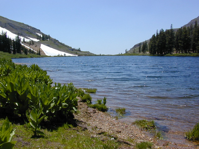
Levitt Lake @ 9556′ elev, on the eastern slope of Sonora Pass has rocky road to wonderful scenery. Mid summer snow melt, so bring the good jacket – even in summer. High elevation camping, hiking, kayaking; rock scrambling at tree line. This alpine lake best reached with high clearance vehicle.

Union, Utica, and Spicer Reservoirs have a few dirt roads to explore off Spicer Rd #7N01, with abundant trails for hiking and mountain biking. Tons of firewood, free for the cutting. Bring your saw!
Kayaking and canoeing are popular at both Union and Utica. Dirt road access. No motors on lake. FREE LAKE CAMP: Shoreline camping is possible, but summer crowds – can get downright insane. Nothing like a traffic jam in the middle of nowhere. Big families camping out all week long w/ all their toys, tents, multiple vehicles. Try to visit in the off-season for the best experience at these 2 lovely lakes. Spicer has developed campgrounds w/ fees, but has real boat ramps and can also accommodate RV campers.
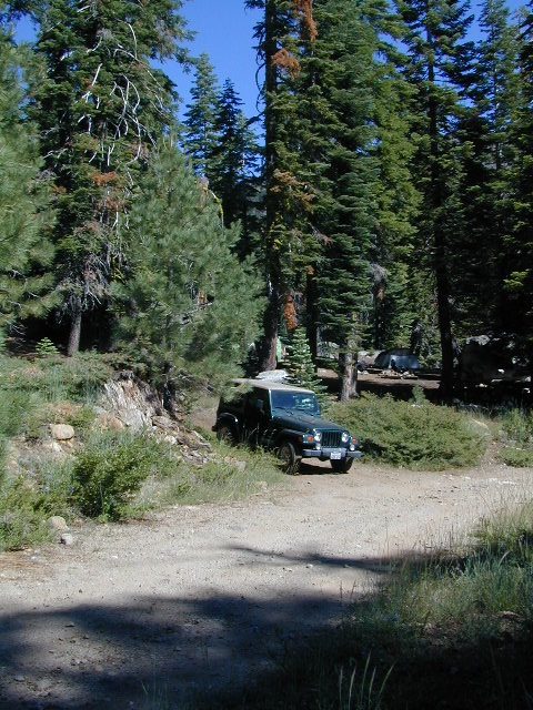
OHV Trails Stanislaus
 4×4 camps and dirt bike trails can be found at Niagra Creek, on the south side of Highway 108, before Clarks Fork.
Union Reservoir has a popular 4WD trail that connects up to Lake Alpine @ Ebbetts Pass.
BACK ROADS TIP
Regular dirt roads can become “4WD needed” with any decent amount of snow or heavy rains, especially on the steeper sections. Remember: No guard rails on the dirt roads. If you plan to camp ‘way back in there, in the boonies’ – make sure you know the weather forecast and have a vehicle that can get out; no matter how sloppy the road gets. Thunderstorms are possible. Snow is 75% of the year.
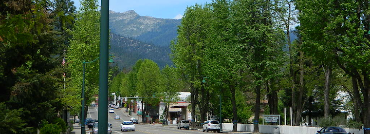
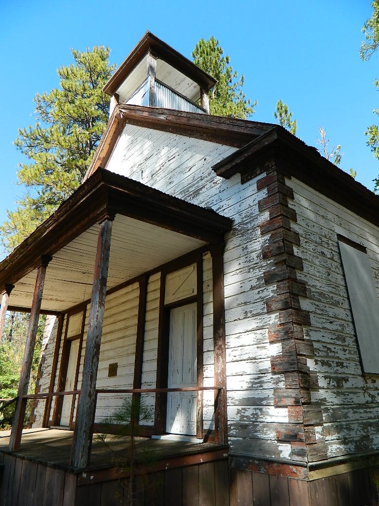
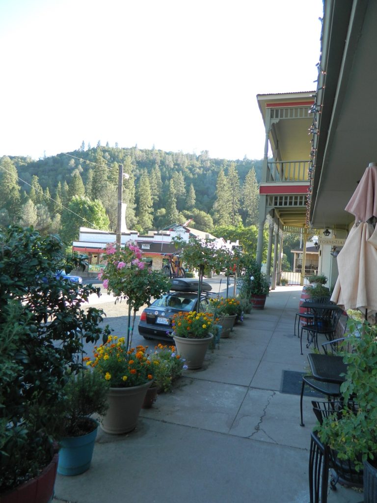
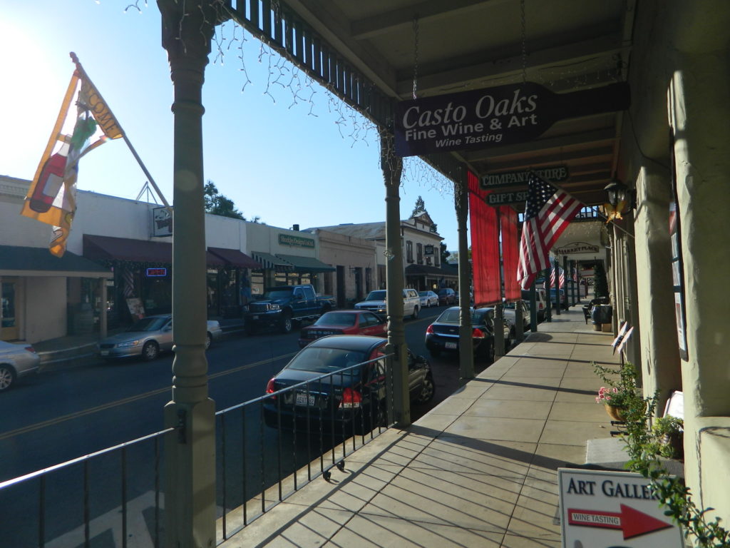
Towns along Stanislaus River:

- Columbia
- Dardanelle
- Knights Ferry
- Long Barn
- Oakdale, CA
- Pinecrest Lake
- Ripon, CA
- Sonora, CA
- Strawberry
Maps on Stanislaus:
Stanislaus National Forest Map USDA
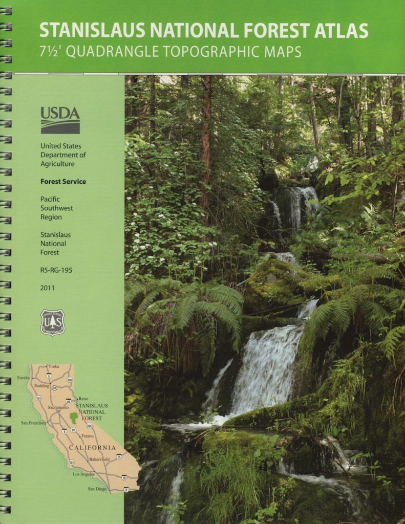
Stanislaus Topo Atlas USDA
Carson Iceberg Wilderness Map USDA
Carson Emigrant NatGeo Map
Emigrant Wilderness Maps
Links about Stanislaus River:
USFS – North Fork Stanislaus RiverUS Army Corp of Engineers: Stanislaus River Parks
Stanislaus River Salmon Festival
Lower Stanislaus River Fly Fishing
Stanislaus River Rafting
Stanislaus River – Class 3 Rapids @ Camp 9
DFG – Stanislaus River Report


