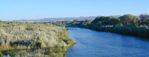
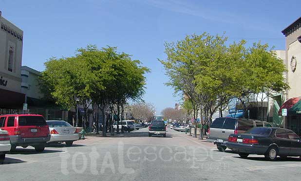
US Highway 101 cuts thru Salinas Valley & is home to the Salinas River. This area is rich in farming, and industry w/ some residential
Rolling hills with oak trees; cattle in every open field, fresh air and wide open vistas. River has no big campgrounds or city campgrounds, except for the seaside area, where the river hits the ocean @ Marina, CA
Central Coast California Wine Country
Paso Robles, Northern San Luis Obispo County – is where the Salinas River begins & flows northbound along mountains and highway – until it meets the Monterey Bay near Castroville, California.
dirt bike trails
camping
farm stands
hiking trails
horseback trails
pinyon pine
oak foothills
mission
wilderness
Los Padres Monterey Map
This is a big valley river which drains agricultural land, so boating/kayaking is okay, but fishing/swimming – maybe not so great. This region grows huge amounts of produce, due to the inland coastal foothills near perfect climate. Pesticide runoffs can hardly be controlled. It’s in the well water, it’s in the irrigation channels, it’s everywhere – even inside your gut.
Anyhoo, there are several tourist sites, such as historical California missions & wineries in this region, along with Hollister Hills OHV Park. Be warned summer months can get very hot here.
Best time to visit SALINAS RIVER is NOV-MAY, and in between winter storms, and June Gloom. NOTE: Flooding does occur in these lowlands.
This California Central Coast, mountains foothills river region is within Monterey County.
OAKS / CATTLE / FARMS / FREEWAY
Private property, ranch lands, farmland, and public land in the hills – National Forest, BLM, State Park, National Monuments, State Vehicular Recreation Area
Wildfires burn outta control in California, so campfire permits are only available during the wettest of years. Check with local ranger station in Kings City, CA
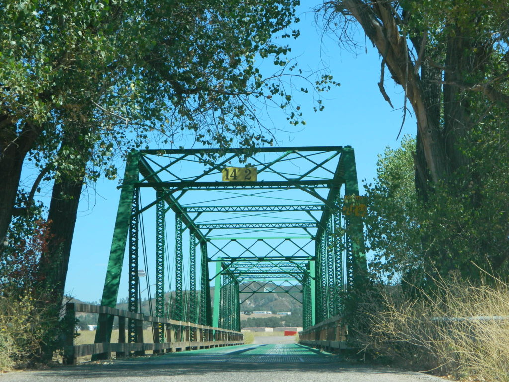
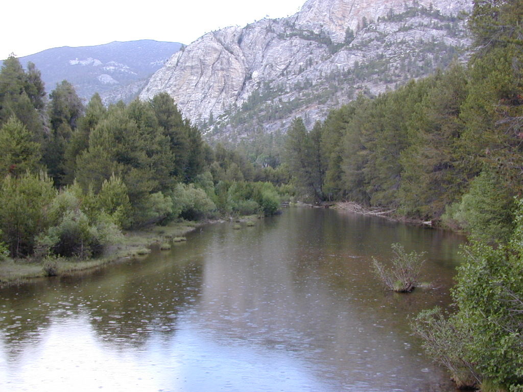
Green Bridge @ Nacimiento Rd, the back way into Big Sur. San Antonio River
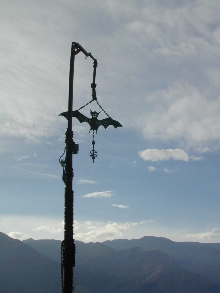
Maybe you were searching for a remote desert hot springs, called SALINE Valley? Halfway across the world? Nope, across California and the Sierra Nevada mountains.
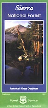
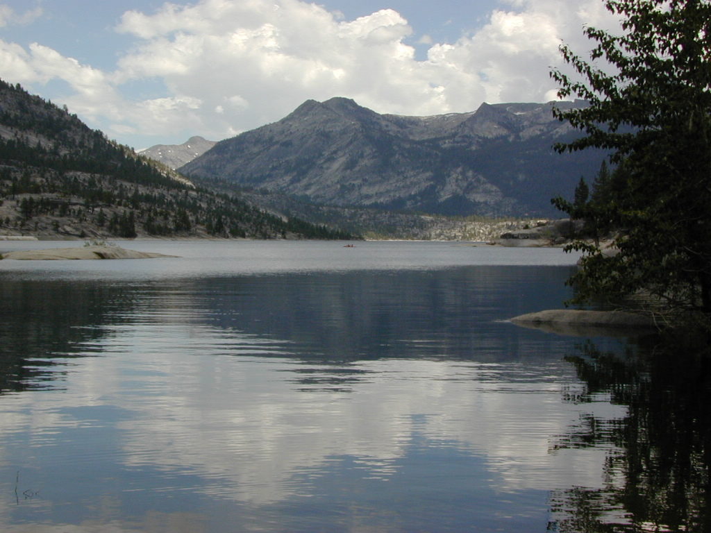
Edison Lake, Florence Lake, Shaver Lake, Huntington Lake Kaiser Wilderness, Sierra National Forest
2021 – MUCH OF THIS RIVER may be INACCESSIBLE, due to the Creek Fire 2020
The San Joaquin watershed begins way up in the High Sierra, Ansel Adams Wilderness to be exact. Eastern Sierra ranges, up behind Mammoth Mountain peaks called The Minarets, the snow drains westward. Far from the San Joaquin Valley, way above Fresno, CA
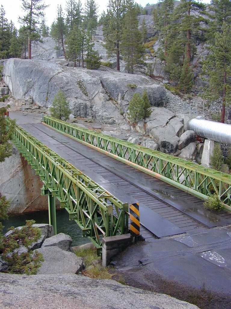
Green Metal Bridge @ San Joaquin River
backpack
camp
canoe
fish
hike
horseback
hot springs
kayak
mountain bike
off-road
picnic
snow-mobile
stargaze
waterfalls
wildflowers
Florence Lake
Sierra Forest Road #80 is Kaiser Pass Rd. Starting next to China Peak Ski Resort (formerly Sierra Summit) Take the right turn, near Huntington Lake. Kaiser Pass Road is a paved back country road climbing steeply up into the high country.
Sierra National Forest Headquarters
1600 Tollhouse Road
Clovis, CA 93611
559-297-0706
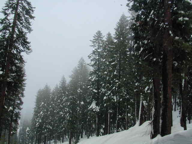
Serious, big snow country
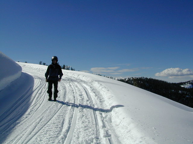
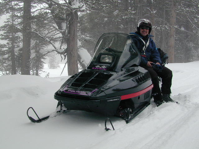
WINTER ACCESS: Kaiser Pass is one of the few areas to enjoy snowmobiling trails and hot spring soaking. The distance to the springs is about 25 miles, one way and requires either cross country skis, snow shoes or snow mobile to reach.
Snow Mobile Trails (January-April)Rentals @ Rancheria
SNO MO RENTALS: Snow depth is usually best after the first of the year and last through April. The round trip hot springs (self-guided) excursion can be done w/ a half day rental, but only if you follow some guidelines: Reserve machine @ Rancheria Enterprises, way ahead of time; Pack a lunch and snacks. Arrive early, gear up, get instructions and have a topo map; Be on the trail and traveling, not stopping on side routes, or play in the meadow or sightsee.
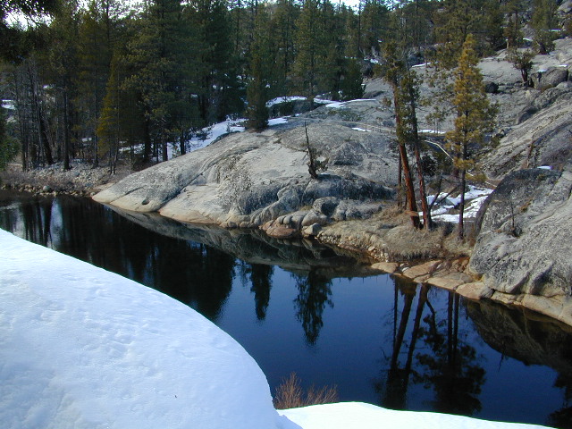
Narrow route continues on passing the meadow and goes for many miles. Trail traverses some steep terrain, with curves and cliffs, especially coming down hill to the river & green metal bridge. Parking spot is before bridge on left side. Hike a short distance, across marshy hillside to reach the 2 primitive hot tubs.
Panoramic ViewsHot tubs @ Mono Hot Springs, 2001River, right next to hot springs.
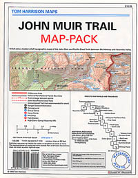
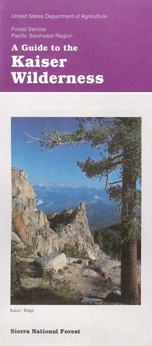
Sierra National Forest Map USDAJohn Muir Trail MapsKaiser Wilderness Map


 WINTER ACCESS: Kaiser Pass is one of the few areas to enjoy snowmobiling trails and hot spring soaking. The distance to the springs is about 25 miles, one way and requires either cross country skis, snow shoes or snow mobile to reach.
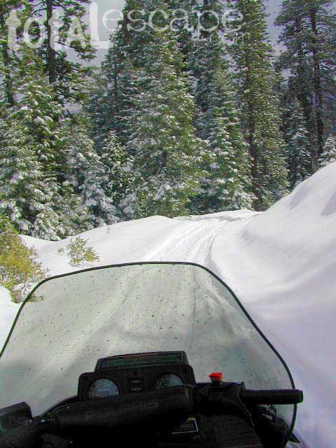
 SNO MO RENTALS: Snow depth is usually best after the first of the year and last through April. The round trip hot springs (self-guided) excursion can be done w/ a half day rental, but only if you follow some guidelines: Reserve machine @ Rancheria Enterprises, way ahead of time; Pack a lunch and snacks. Arrive early, gear up, get instructions and have a topo map; Be on the trail and traveling, not stopping on side routes, or play in the meadow or sightsee.