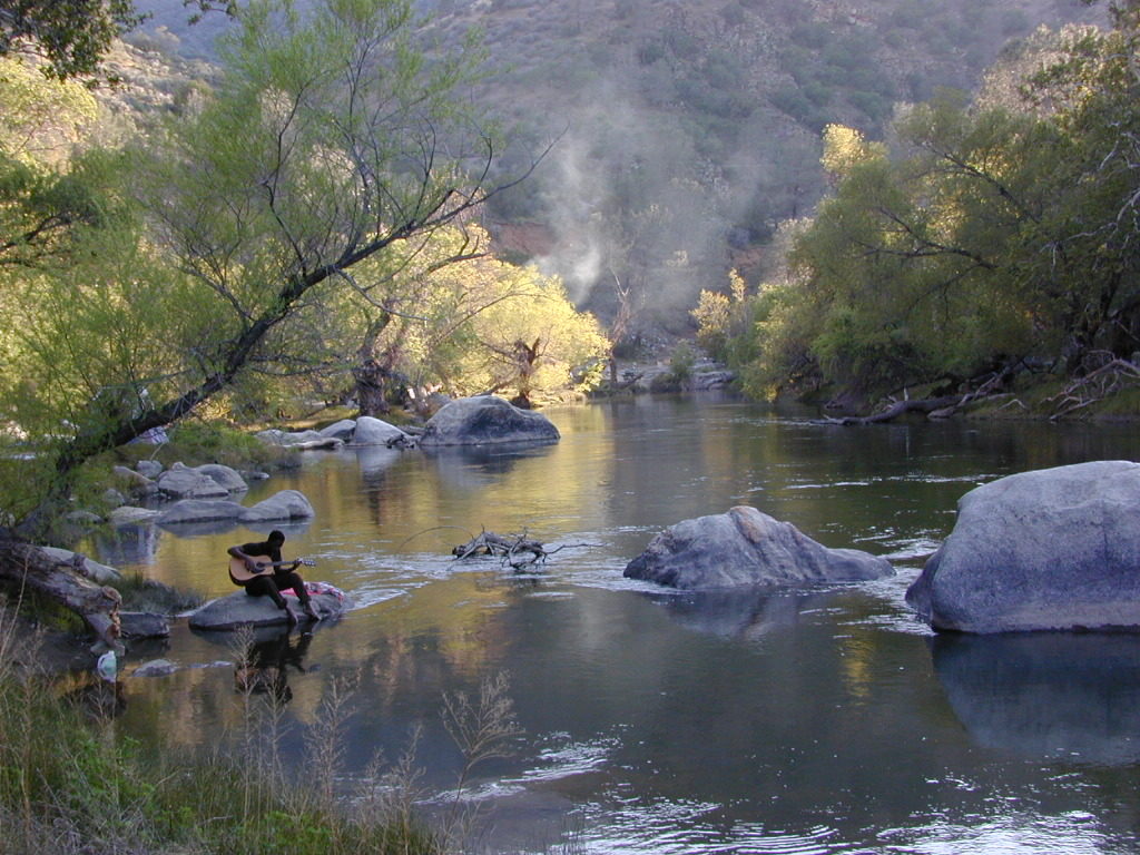
US Highway 101 cuts thru Salinas Valley & is home to the Salinas River. This area is rich in farming, and industry w/ some residential
Rolling hills with oak trees; cattle in every open field, fresh air and wide open vistas. River has no big campgrounds or city campgrounds, except for the seaside area, where the river hits the ocean @ Marina, CA
Central Coast California Wine Country
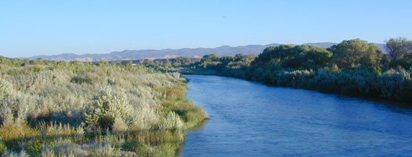
Paso Robles, Northern San Luis Obispo County – is where the Salinas River begins & flows northbound along mountains and highway – until it meets the Monterey Bay near Castroville, California.
dirt bike trails
camping
farm stands
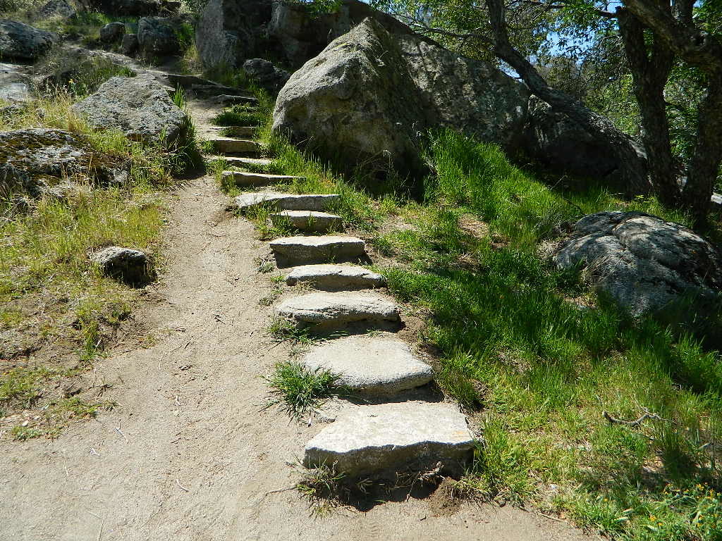
hiking trails
horseback trails
pinyon pine
oak foothills
mission
wilderness
Los Padres Monterey Map
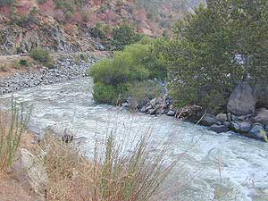
This is a big valley river which drains agricultural land, so boating/kayaking is okay, but fishing/swimming – maybe not so great. This region grows huge amounts of produce, due to the inland coastal foothills near perfect climate. Pesticide runoffs can hardly be controlled. It’s in the well water, it’s in the irrigation channels, it’s everywhere – even inside your gut.
Anyhoo, there are several tourist sites, such as historical California missions & wineries in this region, along with Hollister Hills OHV Park. Be warned summer months can get very hot here.
Best time to visit SALINAS RIVER is NOV-MAY, and in between winter storms, and June Gloom. NOTE: Flooding does occur in these lowlands.
This California Central Coast, mountains foothills river region is within Monterey County.
OAKS / CATTLE / FARMS / FREEWAY
Private property, ranch lands, farmland, and public land in the hills – National Forest, BLM, State Park, National Monuments, State Vehicular Recreation Area
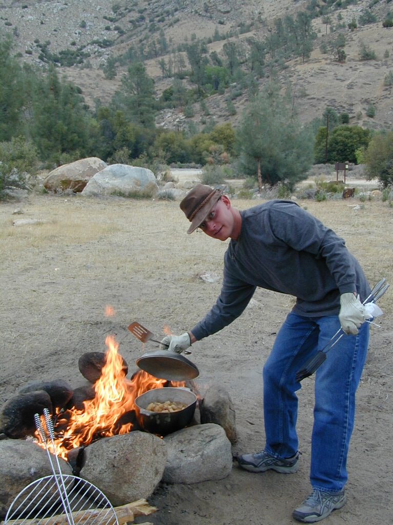
Wildfires burn outta control in California, so campfire permits are only available during the wettest of years. Check with local ranger station in Kings City, CA
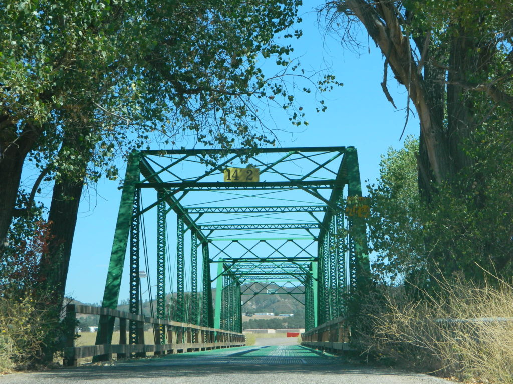
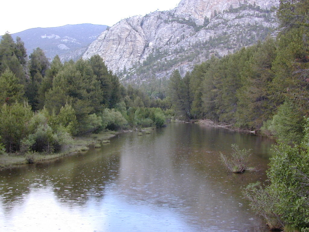
Green Bridge @ Nacimiento Rd, the back way into Big Sur. San Antonio River
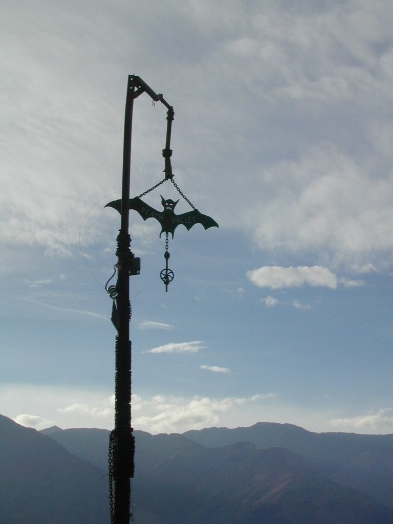
Maybe you were searching for a remote desert hot springs, called SALINE Valley? Halfway across the world? Nope, across California and the Sierra Nevada mountains.
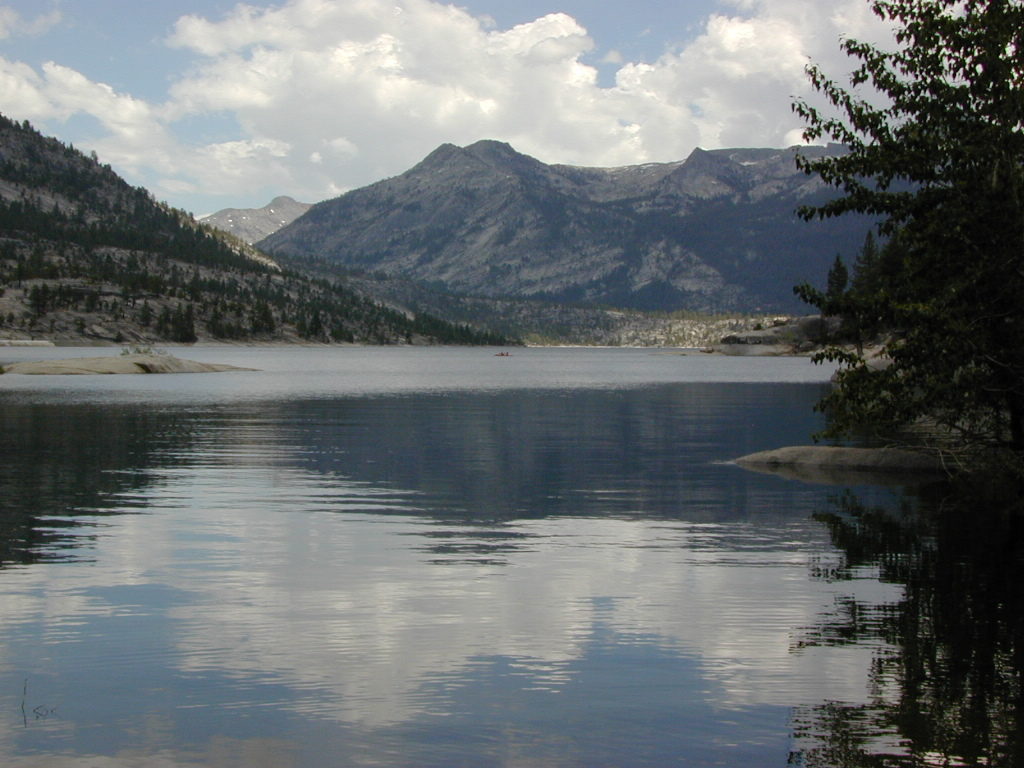
Edison Lake, Florence Lake, Shaver Lake, Huntington Lake Kaiser Wilderness, Sierra National Forest
2021 – MUCH OF THIS RIVER may be INACCESSIBLE, due to the Creek Fire 2020
The San Joaquin watershed begins way up in the High Sierra, Ansel Adams Wilderness to be exact. Eastern Sierra ranges, up behind Mammoth Mountain peaks called The Minarets, the snow drains westward. Far from the San Joaquin Valley, way above Fresno, CA
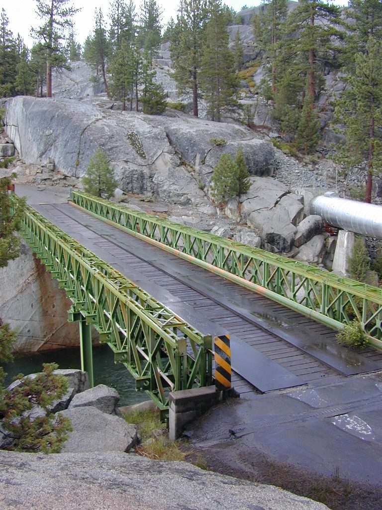
Green Metal Bridge @ San Joaquin River
backpack
camp
canoe
fish
hike
horseback
hot springs
kayak
mountain bike
off-road
picnic
snow-mobile
stargaze
waterfalls
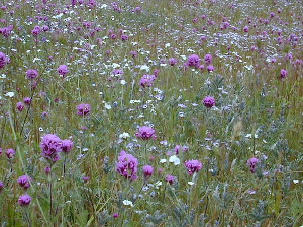
wildflowers
Florence Lake
Sierra Forest Road #80 is Kaiser Pass Rd. Starting next to China Peak Ski Resort (formerly Sierra Summit) Take the right turn, near Huntington Lake. Kaiser Pass Road is a paved back country road climbing steeply up into the high country.
Sierra National Forest Headquarters
1600 Tollhouse Road
Clovis, CA 93611
559-297-0706
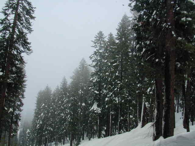
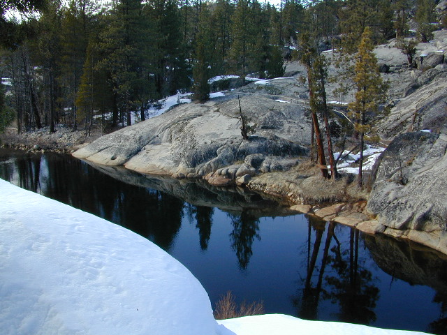
Serious, big snow country
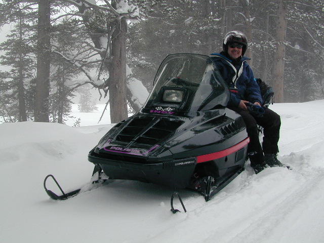
WINTER ACCESS: Kaiser Pass is one of the few areas to enjoy snowmobiling trails and hot spring soaking. The distance to the springs is about 25 miles, one way and requires either cross country skis, snow shoes or snow mobile to reach.
Snow Mobile Trails (January-April)Rentals @ Rancheria
SNO MO RENTALS: Snow depth is usually best after the first of the year and last through April. The round trip hot springs (self-guided) excursion can be done w/ a half day rental, but only if you follow some guidelines: Reserve machine @ Rancheria Enterprises, way ahead of time; Pack a lunch and snacks. Arrive early, gear up, get instructions and have a topo map; Be on the trail and traveling, not stopping on side routes, or play in the meadow or sightsee.
Narrow route continues on passing the meadow and goes for many miles. Trail traverses some steep terrain, with curves and cliffs, especially coming down hill to the river & green metal bridge. Parking spot is before bridge on left side. Hike a short distance, across marshy hillside to reach the 2 primitive hot tubs.
Panoramic ViewsHot tubs @ Mono Hot Springs, 2001River, right next to hot springs.
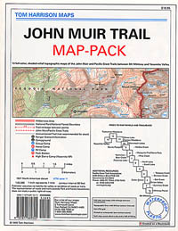
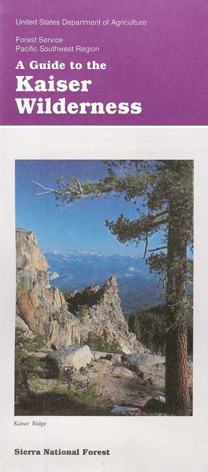
Sierra National Forest Map USDAJohn Muir Trail MapsKaiser Wilderness Map
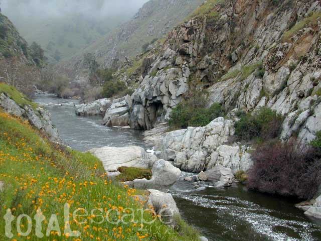
Due east of Bakersfield, CA the Kern Canyon’s massive rock opens to the west with big water. CA 178 Narrow 2-lane highway, lined by tall rock walls, cliffs, curves, few pull-outs and less guardrails. Geologically, the drive is impressive entering the canyon.
A large sign with death toll looms at the entrance, warning you to stay out and stay alive.
The Kern River is a southern flow, draining much of the southern mountains in the Sierra Nevada, including much Mount Whitney snow melt. Lake Isabella redirects the river westward to the Central Valley, so farmers can grow orchards of fruit. Citrus blossom fragrance fills the air on warm evenings, so be prepared to roll down the windows as you exit suburbia.
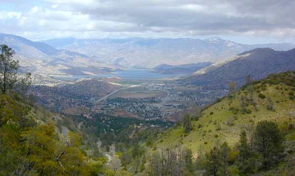
Kern County: Southern Sierra Nevada mountains river canyon, this prized recreation destination is the main attraction for the entire county. Lake levels at Isabella are often low, so know before you go w/ the Dam Task Force web page link and info.
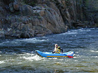
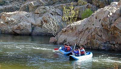
The few oak & pines trees around this river may be the only shade you will find in the summer on the southern end, and this place can get triple digit hot in summer months (so be forewarned). A refreshing dip in the cool Kern River is what you really seek, but this is a real river, a fast river, a dangerous white water river – so take extreme precautions around this river w/ life jackets. Hundreds have died already, as the sign tells us so. Rafters consider whitewater rating a Class V, for most of the lower Kern section.
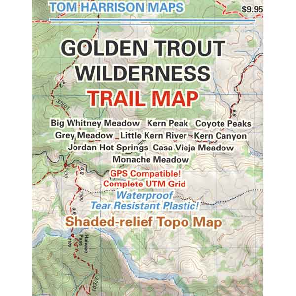
Upper Kern: Main fork of the Kern River is situated along the Rincon Fault line, which become the granite gorge of Kern River Canyon further north; the initial snowmelt and headwaters are located deep in backcountry of the Golden Trout Wilderness. All draining the backside of Mount Whitney and the Great Western Divide.
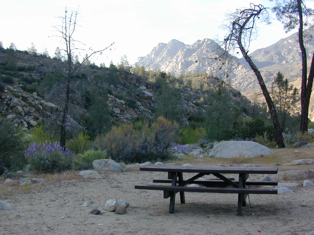
This larger, main river fork parallels the Sierra Hwy north of Kernville, CA with many miles of epic scenery. Plenty of camping for all types, fishing, tubing, rafting, kayaking, mountain biking and backpackers trailheads.
South fork of the Kern River begins up in the Golden Trout Wilderness. Tulare County. Eastern Sierra @ Olancha Peak. Monache Meadows, Inyo National Forest. The river traverses southward over the Kern plateau, Kennedy Meadows, Dome Land Wilderness. Chimney Peak Wilderness, Long Valley Campground. At Pilot Knob (6200′ elev) the South Kern turns west to join Lake Isabella.
Lower Kern: West of Lake Isabella, the river continues tumbling down the rocky, oak hills below the Greenhorn Mountains and eventually ends up at Lake Ming, or downtown Bako.
Little Kern River: a smaller, western fork coming down from Quinn Peak (10,168′ elev) on the Great Western Divide in the Golden Trout Wilderness. It joins at the Forks of the Kern near Jerky Meadow.
The whole Kern Canyon region is part of Sequoia National Forest and always under a wildfire threat in the latter part of the year. Kern River is very popular with city dwellers seeking big Sierra water that is close to SoCal.
Wildflowers are incredible in Kern County overall, and the Kern Canyon is no exception. Lower Kern blooms earlier than Upper Kern. Old Kern Canyon Road is a scenic drive that parallels the highway where you can find flora blooming March – May. Above Kernville the wildflower showing may be short, but sweet. Large river Lupine can be found at almost every campground, while Golden Poppies and Owls Clover line meadows near the main highway.
A variety of terrain in the southern Sierra Nevada mountains will have you puzzled where to start. From cedar forests to Sequoia groves, mountain peaks to fishing creeks, granite domes to granite gorges, wildflowers to waterfalls, hot springs to hot summers, Kern County has it.
Winter backpacking is quite popular here, as snow levels do not drop as drastically as in other mountain locations. Elevations from 1000′ – 4000′ are often ideal for winter hiking trips. Summer is usually best in the higher elevations, above 5000′
Wilderness permits are required for backcountry overnight stays.
Free camping, boondocking and primitive camping options are found near small streams and along the back roads of the neighboring Sequoia National Forest areas. Most secluded camps can be found 25+ miles north of Kernville, well away from the Kern River on the feeder creeks that flow into the big river. Dirt road driving may be required to find the most secluded camp spot. See more on Sequoia dispersed camping on back roads.
Campfire Permits are required for back roads primitive camping in this tinder-box region. More often than not, fire restrictions prohibit campfires during dry conditions. Hot summers, even lasting well into autumn. Obtain a free fire permit online or from the local rangers and be sure to find out if any restrictions are currently in place. USFS Ranger stations are located in downtown Kernville and at Lake Isabella.
Don’t have any ideas on WHERE you want to go? Never heard of that little town? Follow our links below to explore a variety of California hidden secrets.
This whole web site is dedicated to finding new places to visit within California. Cheap, free, inexpensive options. We concentrate on the back roads, rural areas and park lands. More space, more nature, less people.
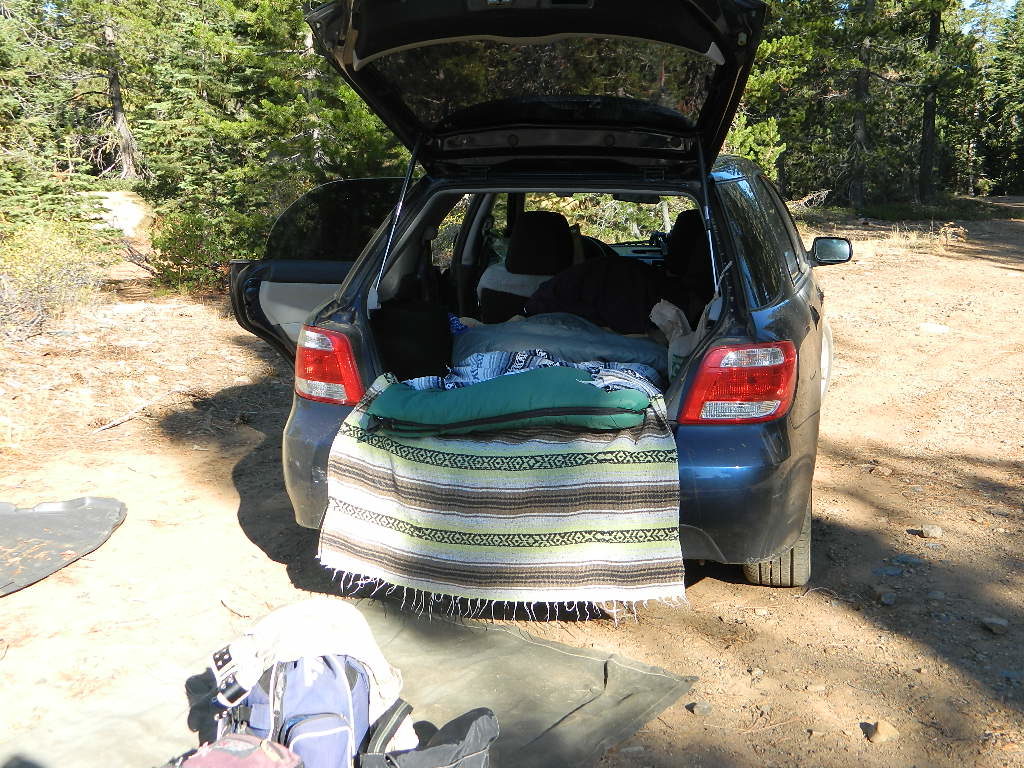
Car Camping is FREE on the back roads of California. Primitive camping requires that you be a self-sufficient campers, obtain a free camp fire permit, have a shovel, bucket and water at camp to extinguish fire.
DanaMite has an extensive list of forest roads in California. Guide to the backwoods: find photos, map links, wilderness trailheads, best places to look for a camp. Look on USDA USFS National Forest web sites for Dispersed Camping Areas, also called Open Camping or Primitive Camping. Buy a printed map and then go explore.


 WINTER ACCESS: Kaiser Pass is one of the few areas to enjoy snowmobiling trails and hot spring soaking. The distance to the springs is about 25 miles, one way and requires either cross country skis, snow shoes or snow mobile to reach.
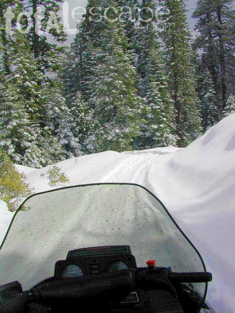
 SNO MO RENTALS: Snow depth is usually best after the first of the year and last through April. The round trip hot springs (self-guided) excursion can be done w/ a half day rental, but only if you follow some guidelines: Reserve machine @ Rancheria Enterprises, way ahead of time; Pack a lunch and snacks. Arrive early, gear up, get instructions and have a topo map; Be on the trail and traveling, not stopping on side routes, or play in the meadow or sightsee.


 Campfire Permits are required for back roads primitive camping in this tinder-box region. More often than not, fire restrictions prohibit campfires during dry conditions. Hot summers, even lasting well into autumn.