All the Feather Rivers in California
Northern California’s impressive Feather River Watershed is massive and drains the lower half of snowy Mount Lassen @ 10,457′ elevation. The Plumas National Forest and Lassen Forest region is where the Sierra Nevada granite meets the volcanic rock of the Cascade mountain range.
RECORD RAINS:
In most recent times, 2017 was the wettest year on record for California. The Feather River Watershed recorded more water than any other year, based on 112 years of hydrology records.
Spanning three counties, four big river forks from the Northern Sierra Nevada mountains, to the foothills @ Lake Oroville, CA
Butte County
Plumas County
Lassen County
West Branch (Paradise, CA)
North Feather (Hwy 70 Beldon)
Middle Feather (Berry Creek, CA)
South Feather (LaPorte, CA)
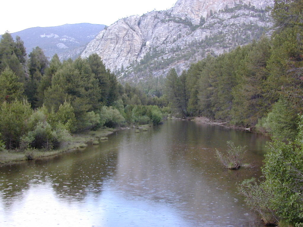
Northern Sierra Nevada Mountains meet the Cascade Range @ Lassen
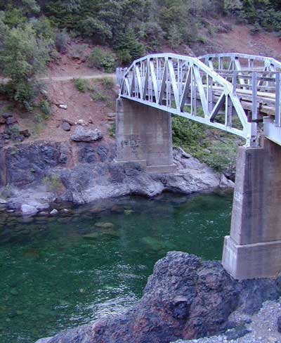
The North Feather runs along Highway 70 in the Feather River Canyon with railways, tunnels and trestles traversing the giant gorge. This granite lined canyon is known as the “stairway to power” – water flows stepping down the mountain from numerous reservoirs. Pacific Gas & Electric (PG&E) operate a series of 9 power plants all interconnected – producing electric power (and in rare occasions, wildfires)
- Lake Almanor
- Butt Valley Reservoir
- Caribou Afterbay
- Bucks Lake
- Rock Creek Reservoir
- Poe Reservoir
The East Branch of the North Feather River comes out of the American Valley near Quincy, CA
The West Branch of the North Feather River flows south down from “the ridge” – a forested, volcanic ridge line descending from Mount Lassen. West branch flows directly into Lake Oroville at Lime Saddle (Marina). This residential area is currently off limits to tourists, as it recovers from the most destructive and deadly wildfire in California history. The 2018 #CampFire destroyed most of the town and forests of Paradise, Lake Concow, and Yankee Hill. The incident made national news in November, as the worst wildfire season dragged well into autumn.
The South Fork of the Feather River and its reservoirs, are managed by the South Feather Power Project, consisting of 5 lakes, 4 power plants, and 3 diversion dams. The closest paved road to this region would be La Porte Road, off of Highway 70 between Gridley & Marysville, CA
- Little Grass Valley Reservoir
- Sly Creek Reservoir
- Lost Creek Reservoir
- Ponderosa Reservoir (Lumpkin)
- Miners Ranch Reservoir (Kelly Ridge)

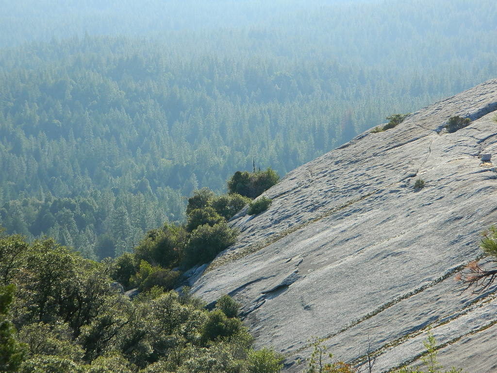
DOME TRAIL 3

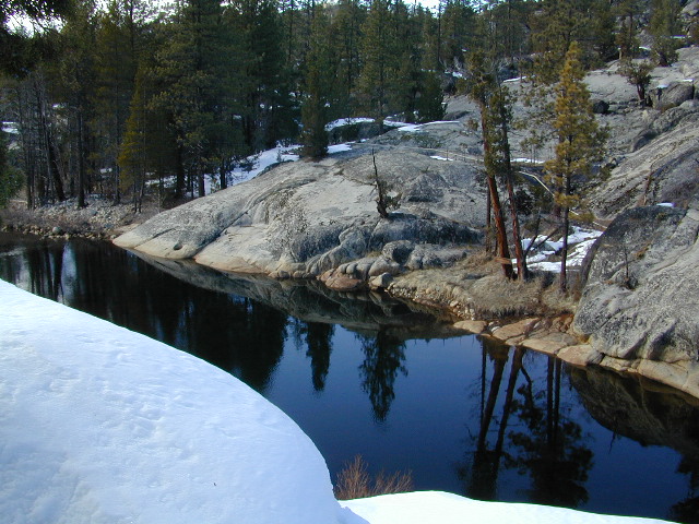
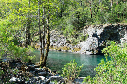
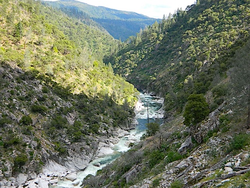
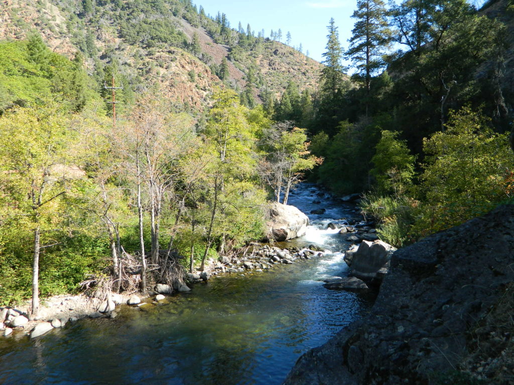
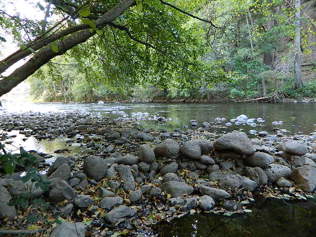
The Middle Feather, or Middle Fork of the Feather, is a beautiful wild and scenic river for 78 miles, with granite walls, domes and few trails or roads. Only 2 campgrounds – Milsap Bar and Little North Fork, are well worth the journey.
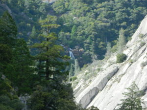
Bald Rock Hiking Trail, Berry Creek, CA
EAST PLUMAS CO. Above the lumber & rail town of Quincy, Lake Davis and Frenchman Reservoir are both managed by the Department of Water Resources (DWR). Excellent mountain biking, stargazing and camping at both locations. NFS Campgrounds w/ fee.
North Sierra Waters:
via OROVILLE Reservoir
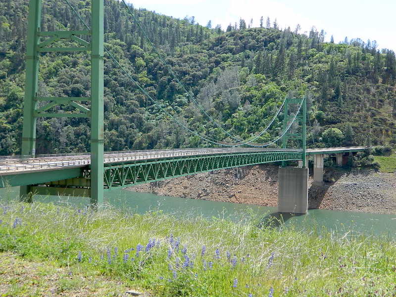
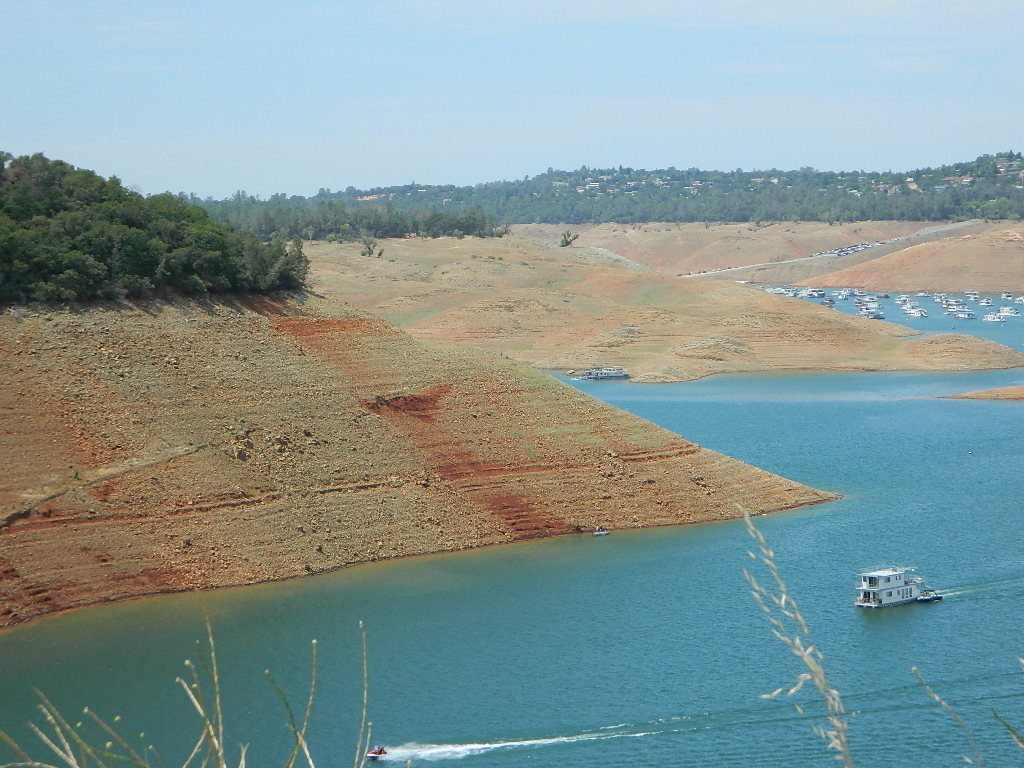
Lake Oroville
All this water listed above is the massive Feather River Watershed. Like a thousand fine hairs that make up a bird feather, there are over 4,500 miles of mountain streams and rivers feeding the bigger Reservoir system below. Dam run by DWR (Department of Water and Power) at the State Recreation Area known as Lake Oroville SRA
- boating
- camping
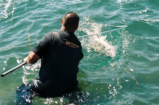
- fishing
- hiking
- houseboats
- kayaking
- watercraft
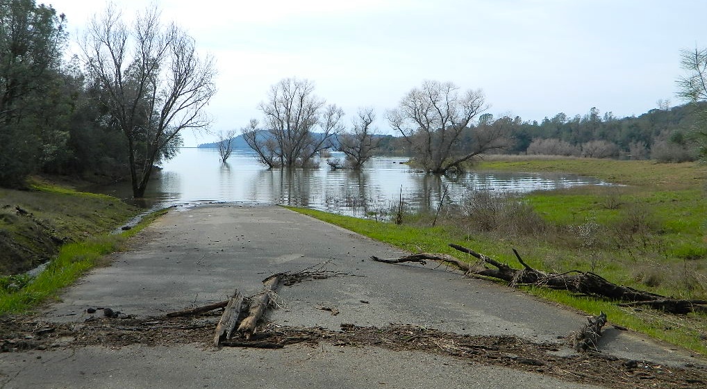
Feather River has always been prone to flooding and wild river swings. All that Mount Lassen snowmelt needs to be managed in harmony with one another, so destructive floods do not ruin the agriculture and cities of the valley. Lake Oroville is the place; they try to control these river flows that are headed down to the Sacramento Valley. Oroville Dam was built in 1967. In 2017, a record rainfall winter in California, the Oroville dam showed major signs of stress with massive amounts of incoming water. Several recently published books tell the story in greater detail.

Thermalito, California
Below Lake Oroville, 2 giant warming ponds Thermalito Forebay & Thermalito Afterbay – built to control irrigation water and also heat the cold river water for the fish downstream
CA SR 162 – West Highway 162: the farming and residential areas of Thermalito & Biggs are held together by rock levees, all running right next to Highway 99. Diversion drainage leads out of Lake Orovillle above to the large inland bays – with river parks and salmon fish hatchery in historic, downtown Oroville. Wildlife viewing , kayaking, boating, fishing. Minimal camping at this area. Big rigs may be seen parked along this stretch of highway, due to its proximity to Hwy 99
RV park in Gridley, CA
Loafer Creek Campground on Hwy 162 @ Lake Oroville SRA

The Feather River flows south and merges with the Yuba River at Marysville & Yuba City, before joining the massive Sacramento River coming from the far north.
Eventually entering the California Delta south of Sacramento, CA


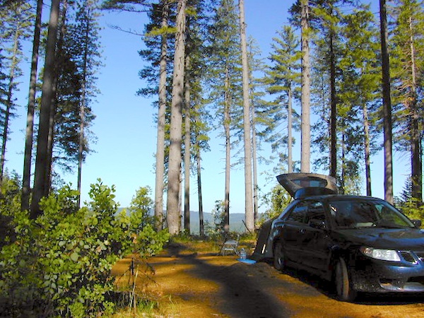
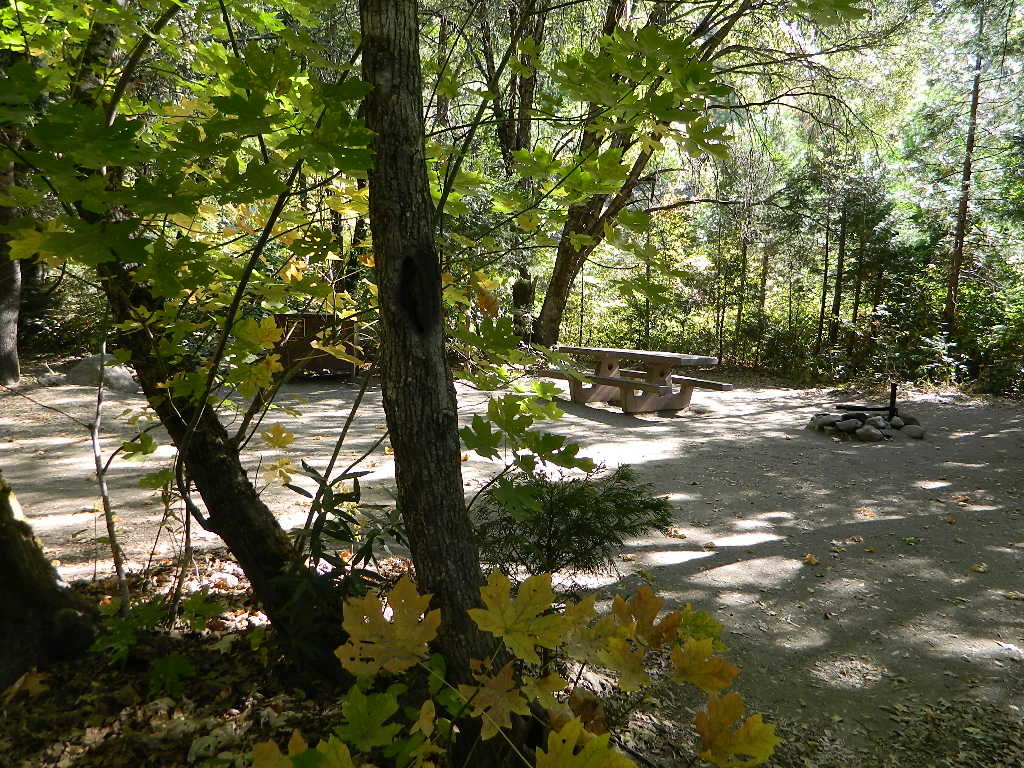
Camping around the Feather River
NORTH FORK:
- Belden Town
- Cool Springs @ Butt Valley
- Gansner Bar Campground
- Halsted Campground
- Lake Almanor Camping
- Lake Concow, CA
- North Fork Campground (closed)
- Ponderosa Flat @ Butt Valley
- Queen Lily Campground
- Twain, CA
MIDDLE FORK:
- Bucks Lake Campgrounds
- Little North Fork
- Milsap Bar Campground
- Quincy RV Parks
- Portola, CA
- Lake Davis
- Frenchman Lake
SOUTH FORK:


Lassen National Park

Lassen National Forest
Plumas National Forest
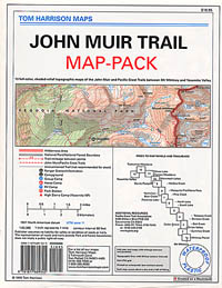
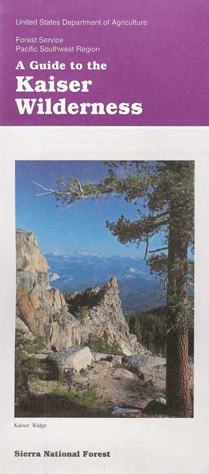
maps of the Feather River region
Middle Fork Feather Topo Map
Plumas National Forest Map
Lassen National Forest Map
Bucks Lake Wilderness Map
Ishi Wilderness Map
Lassen Forest Topo Atlas
Lassen Park Map NatGeo
PCT Map #5 North Sierra
Lassen Books
Grand-eous ideas, from white men who conquered this land. The scouts on horseback mapped the canyons w/ primitive tools; the with dynamite and danger, they built a railroad through in 1850.
Hydro-electric power systems on the Feather, were constructed between 1908-1961. Native lands and tribal communities have been treated as sacrifice zones for national priorities of irrigation, flood control, and hydroelectric development.
Recent upgrades to Oroville Dam have been completed, although a lot of work still goes on around the Feather region due to wildfire debris, tree trimming, fire clearance, upgrades to power lines, and structural improvements.
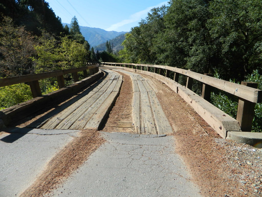
Hiking trails, dirt roads and highways may be re-routed, inaccessible or closed due to construction, landslides, rock slides or utility work. Call local rangers for up to date info.

Towns near the Feather River –
(in alphabetical order)
- Belden Town
- Berry Creek, CA
- Blairsden, CA
- Clio, CA
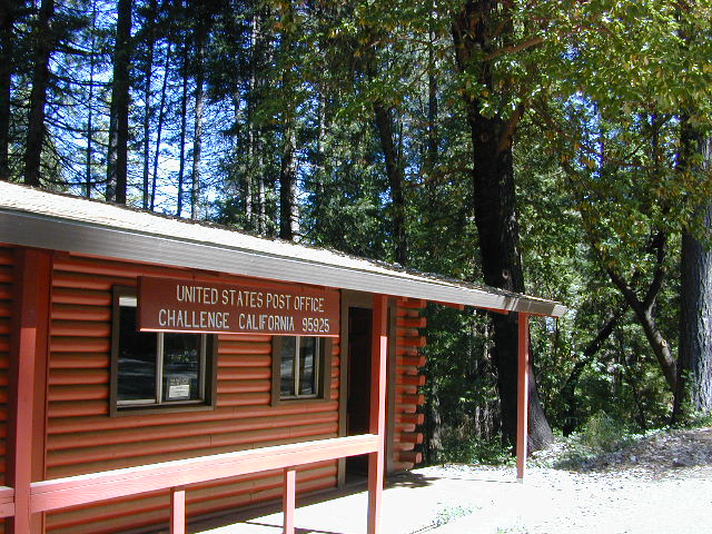
- Challenge, CA
- Chester, CA
- Clipper Mills, CA
- Crescent Mills, CA
- Graeagle, CA
- Greenville, CA
- Inskip, CA
- La Porte, CA
- Lake Almanor
- Magalia, CA
- Oroville, CA
- Paradise, CA
- Portola, CA
- Quincy, CA
- Stirling City
- Taylorville, CA
- Twain, CA

Wikipedia Links – en.wikipedia.org/wiki/Feather_River
https://en.wikipedia.org/wiki/Lake_Oroville
https://en.wikipedia.org/wiki/Upper_North_Fork_Feather_River_Project


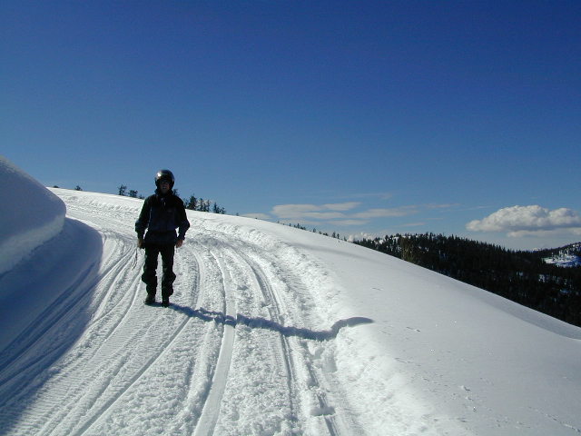
 WINTER ACCESS: Kaiser Pass is one of the few areas to enjoy snowmobiling trails and hot spring soaking. The distance to the springs is about 25 miles, one way and requires either cross country skis, snow shoes or snow mobile to reach.
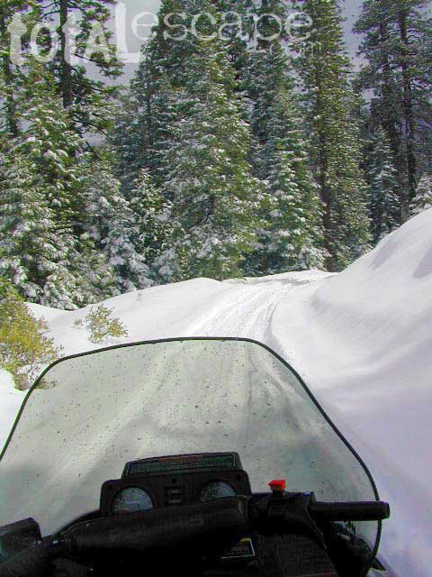
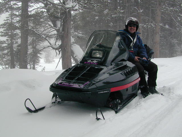
 SNO MO RENTALS: Snow depth is usually best after the first of the year and last through April. The round trip hot springs (self-guided) excursion can be done w/ a half day rental, but only if you follow some guidelines: Reserve machine @ Rancheria Enterprises, way ahead of time; Pack a lunch and snacks. Arrive early, gear up, get instructions and have a topo map; Be on the trail and traveling, not stopping on side routes, or play in the meadow or sightsee.