Category Archives: travel

Seasons of California

spring summer autumn winter

All Four Seasons in California

californiaWhile some may think there are only 2 seasons in California

WINTER (the wet season) and SUMMER (the dry, hot season) which may also be known as Fire Season (as in wildfires).

findingfall

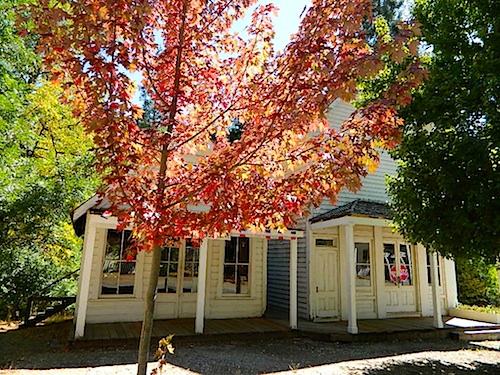
There are indeed 4 Seasons in California:

However – Spring and Autumn are much shorter, as rapid swings in rain and drought (weather related events) often dominate the West Coast region.

And by the way, Earthquake Season is any time of year.

june lake loop
June Lake Loop is a popular spot for Autumn Colors

camp
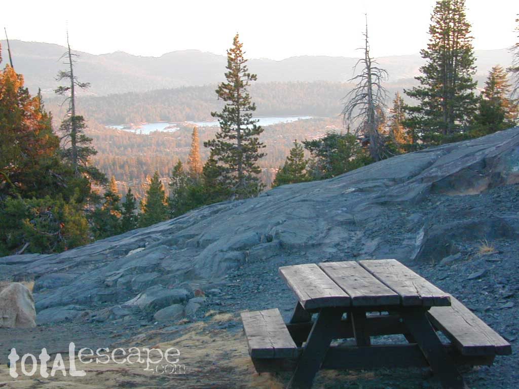
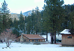
Camping Season can be all year long in California, where we often have mild winters, sometimes without much precipitation.

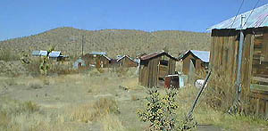
Southern California has camping and hiking all the time, in every area. Deserts are a favorite camp destination in the winter months, usually December thru March. Find more info on Desert Camping. See also, a page on Winter Camping.

The Central Coast and Central Valley regions often have campgrounds available and open year-round. Northern California and the Sierra Nevada mountains get most of the real wet weather, between November and April, so campgrounds usually close (for half the year) depending on weather conditions.

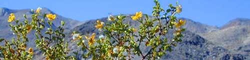
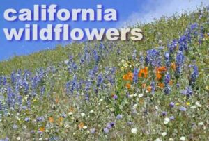
Wildflowers can be found beginning in late FEB in the Southern California deserts – and last until AUG in the higher elevation mountain meadows.

calif wildflowers

WILDFIRE SEASON is typically from JUNE-DEC annually inside California. If winter is without any significant rain, then the camp fire restrictions could go well through the year! Camp Fire Safety

contained fire
a contained fire, is a good fire
tableviews
High Country Sierra Nevada mountains

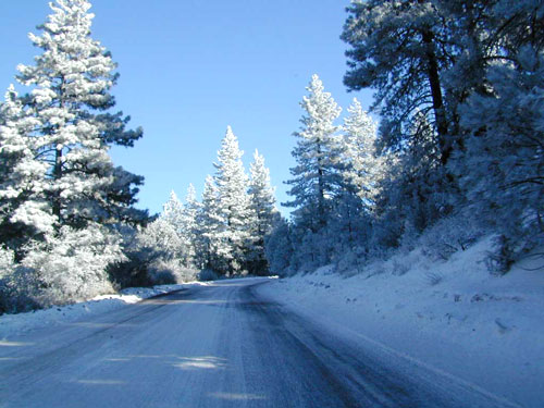
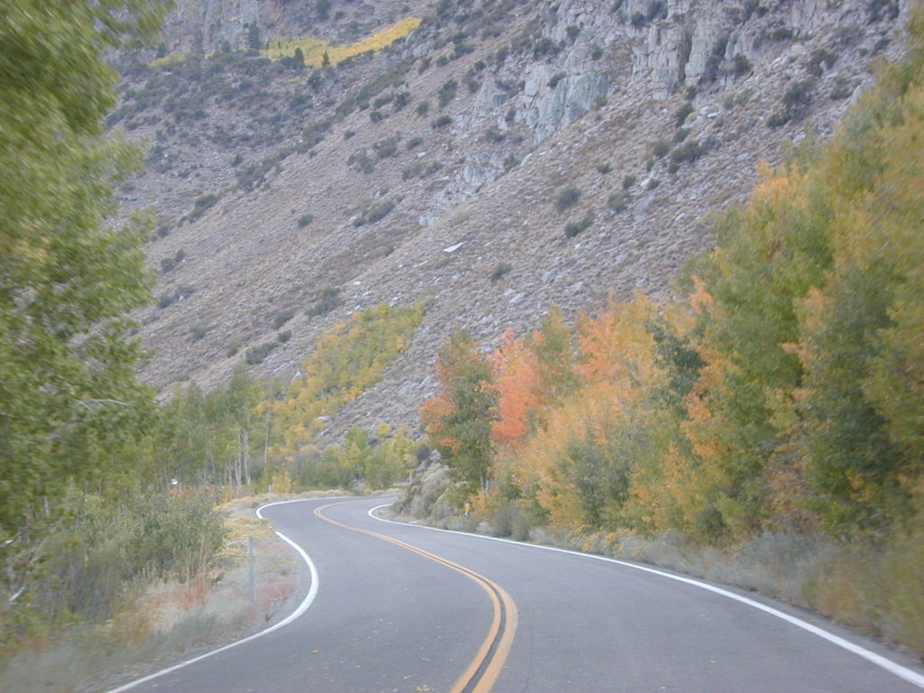
Often the higher elevations of California (5000’+) can only be accessed by vehicle during summer months. Deep snow pack means paved roads are usually closed for the majority of the year (Nov-May) and sometimes, during a ‘good’ winter, the main Sierra highway routes do not open up to public access until June or July. Read more on Sierra Road Conditions.

potrerocabin

totalescape.com/outside/journey/california-road-conditions/

snow conditions

Ghost Towns in California

The Old West
Historic Ghost Towns & Mining Camps
California & Nevada

Historic cities and towns are commonplace inside California, but very few towns are totally abandoned. By definition ‘ghost towns’ are population locations that have previously thrived (usually in mining), but they ultimately have been deserted.  Sometimes a few residents will stick around for the seclusion, but the place often appears empty. Finding an open business is a rarity.

generalstore
inside the old general store

North Bloomfield allows visitors inside the buildings to check out the furnishings, decor, fixtures and the interiors. As part of a ranger guided daily tour, you can explore these historic structures up close and personal.

ghost towns

towns in business

California mining ruins

almost abandoned

shackleaning

findingfall
Malakoff Diggins State Park

deserted mines & ghost towns

creosote

Garlock, California
(most of the buildings torn down by Knott’s Berry Farm, for decor at their amusement park)

Kongsberg, Hwy 4
(old mining camp, east of Ebbetts Pass)

Panamint City, CA
(old mining camp, above Panamint Valley)

Montgomery City, Hwy 6
(old mining site, 4×4 required. N of Bishop, CA)

Skidoo, Death Valley NP
(old mining ruins, near Wildrose Canyon)

Tucki Mine, Death Valley NP
(old mining camp, near Wildrose Canyon)

California ghost town

field deserts
North Mojave Desert
greenshack
Randsburg, California; circa 1999
skidoo
skidoo mine, DVNP

Gold Country California

califrepublic

old forts, train towns & railways

Carrizo Gorge Goat Trestle
Anza Borrego Desert, CA

Colfax Train Yards
Colfax, CA

Donner Pass, Sierra Nevada
Donner Lake
Truckee, CA

Fort Churchill State Park
Nevada

Laws Railroad Museum
Bishop, CA

Pacific Southwest Railway Museum
Campo, CA

Railtown 1897 State Park
Jamestown, CA

Sierra Nevada Train Town
Portola, CA

Southern California Railway Museum
Perris, CA

train

woodsiding

Air Travel

California Airplanes & Travel

Baja Mexico Flights
Best Times to Fly
Cheapest Airfares
California Local Air Charters
Sightseeing Flights
Small Town Airports

Air planes burn major fuel. More than one-tenth of all transportation-related carbon emissions across the United States comes from air travel, according to the EPA.

Estimates say rail travel emits less than one-third of the CO2 relative to what air travel does. Consider a longer journey, taking in more scenery and traveling by train; California has lots of options.

SDskyshot
San Diego Harbor from above.


airportBiggest destination airports in California

SAN – San Diego

SFO – San Francisco

LAX – Los Angeles

ONT – Ontario

SMF – Sacramento

Popular connector flights include – 

  • RENO, NV
  • LAS VEGAS, NV
  • PHOENIX, AZ
  • PORTLAND, OR
  • SEATTLE, WA
  • DENVER, CO
  • SALT LAKE CITY, UT
fly2sacto
Flights to Sacramento

Best Times to Fly

Time of the Flight:
Book a flight before 7:00 am or after 7:00 pm. Also, Saturday & Sunday flights may eligible for off-peak pricing.

Day of the Week:
Certain fares are priced lower on Tuesdays, Wednesdays, & Saturdays

Holiday Travels:
Days surrounding a holiday or 3 day weekend are usually not the best choice for a deal. These are considered “blackout” days. Try to get a “red-eye” (late night) flight just before the holiday rush.

Six major airlines control nearly three-quarters of the air market & airfare prices.

Keys to savings:

Be flexible. Jump on bargain prices and then figure out why you want to go there. If you must travel to Point B for a specific visit, only purchase during deep sale periods.

Familiarize yourself on discount airline routes. You may be able to travel to a city within 150 miles of your final destination, but save hundreds in doing so.

Check out the number of Internet sites that sell tickets below the official, or published fares. Many offers are completely non-refundable and not exchangeable for other travel dates.

How to fly on a private jet for under $150 per person

takeoff
San Diego airport take off

California – Local Air Charters

Stratos Jet Charters, Inc.
888-593-9066

JSX – JetSuite Air
800-435-9579

Premier Air Charter, LLC
San Diego, CA
619-316-5637

LGB – Long Beach Airport
serving: Mammoth, Reno, South Lake Tahoe, Grand Canyon
562-570-2600

Desert Jet Service
Palm Springs, CA
800-381-JETS (5387)

Sierra Aviation
703 Airport Rd. #A
Bishop, CA
760- 872-2202

mountains

Sightseeing Flights

Small Town Airports
Rural California and Remote Destinations

California A to Z

Municipal airports, county air fields, remote landing strips, regional air port links are now listed individually on the town pages under local links.

Cabo

Baja Air Services

Aero Mexico
800-237-6639

serving:
Cabo San Lucas
La Paz
Loreto
Los Cabos
Tijuana

Los Padres National Forest


Popular Airline Deals !

Helpful Routes

Southern California Short Cuts

Must head North out of LA? Skirting the backside of Los Angeles is always a possibility on a FRIDAY night. Taking 15N, 10W, 210W will put you in the opposite direction of most of the bad traffic flow.

Merge back up with I-5 North of San Fernando Valley. If you must get West to the coast, the Simi Valley 118, or the 126 through Fillmore, is the best option.

camp in routeRvs camping in route

Plenty of jump off spots for overnight camping on the Grapevine, inside Angeles National Forest & Los Padres National Forest.

food

#1 – Avoid Los Angeles area, if possible. This will add 1-4 extra hours on to your road trip depending on the ‘hellish & hectic’ reasons this area normally experiences. If you must venture through, try doing so at night after dark. Gas up and eat a meal before you reach this area, to avoid needing to stop in L.A.

gasoline

Watch out for frequent Cal-Trans freeway closures starting
in the midnight hours.

Inland Crawl: The Interstate 91 & Interstate 10 Eastbound are both bad situations during winter months due to Palm Springs weekenders & if snow is decent, the Big Bear ski crowds.

Angeles Forest Hikes Los Padres National Forest Maps San Berdardino mountains

desert roads

california

Lets face it, Vegas traffic back to Cali sucks.

The Interstate 15 is the main corridor that gets backed up on Friday nights Northbound at the I-10 & the I- 215 junction.


Southbound on Sundays is awful from Barstow to San Bernardino. An alternate route is historic Route 66 & avoid the bumper to bumper in the high desert Mojave region.

OLD ROUTE 66, anyone?


Driving from Southern California

Headed to the Eastern Sierra or Death Valley – Make sure to take Interstate 15 straight up to US Highway 395N. The turn off is just south of Victorville. On the Road – gas up & quick food stop on US 395 available in Adelanto & in a region known as ‘Four Corners’ @ Highway 58 junction.

Be warned: It can get a little congested on Friday nights. An alternate is Interstate 15N to Interstate 215N to avoid most of the traffic from the west.

Typical afternoon rush hour problem spots in San Diego.

A small detour, if traffic is bad on Hwy. 78 in North County San Diego & you are headed Interstate 15 North. Twin Oaks Valley Road leads right up to Deer Springs Road & the Avocado Highway known as 15.

Population in SoCal has increased in the past 30 years and surely the traffic problems are worse than my memories. When you get sick of it, head to North, to any part of rural California. Where traffic lights are few and space is plenty.

State Atlas Maps

Regional Maps

camptruck

dangerous

NOTE: I am keeping the old screen shot maps from MapQuest on this page to prove my age and experience on such topics. And I thank you for using my independent California site. DanaMite