2021 – THIS CAMPGROUND IS CLOSED indefinitely,
due to the Castle Fire 2020
Moses Gulch Campground
Middle North Fork of Tule River
Northside of Western Divide Highway 190, near Springville, CA
Mountain Home State Forest
559-539-2321 summer
559-539-2855 winter
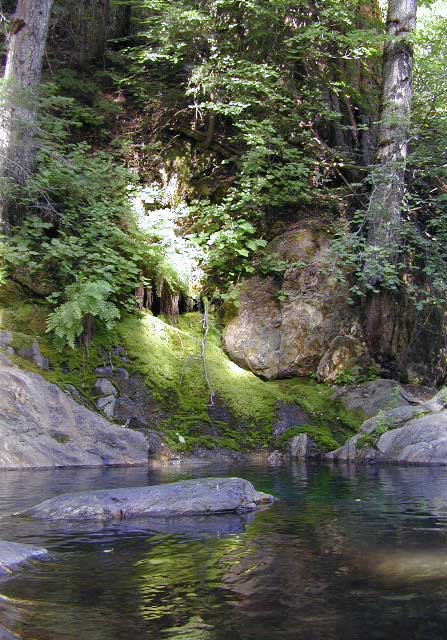
Located right on the middle north fork of the Tule River
Small developed campground on the back roads of Mountain Home State Forest. Campground closes seasonally, for winter snow.
Usually open: MAY-OCT
MOSES GULCH CAMPGROUND 
• Elevation: 5,500′
• Number of Sites: 10 walk-in camp sites
• Reservations: No
• Sites Available: First come, First serve
• Vehicle Accessibility: No RVs
• Length of Stay: 14 Days
• Water: River nearby
• Toilet: Vault
• Bear Boxes: Yes
• Trailheads: Tule River; Moses Mountain; Golden Trout
• Season: Closed for winter months
• Fee: Yes
• Operated By: National Forest Service
• Closest Town: Springville, California
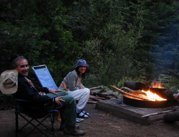
tent camping on river
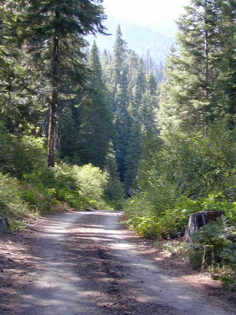
Motorhome RV campers beware; no hook-ups, no paved roads. This is a primitive style camp, way back on a dirt road – not suitable for large vehicles.
NOTE $ This used to be FREE CAMPING, but they recently started charging an overnight fee for this campground.
 bike
bike- camp
- fish
- hike
- picnic
- stargaze
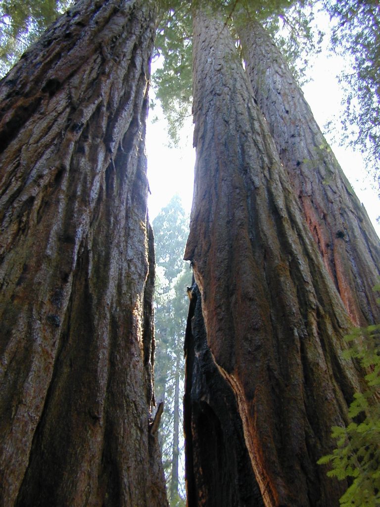
Golden Trout Wilderness is closeby. Plenty of hiking opportunities, great scenery and several Sequoia groves to visit. Mountain biking is allowed on the dirt roads. Single track trails may be overgrown or even off-limits, due to the fragile eco-system around Sequoia trees.

 Both Moses Gulch and Hidden Falls are accessible via a long, narrow, paved mountain road; then a dirt road, leading 3 miles back to the remote reaches of the Wilderness edge.
western south sierra
North of Springville on Highway 190, turn left (north) on to J37, some call it Balch Park Road (Google Maps has it as Wagner Drive) and follow it up 3.5 miles to Bear Creek Road (#220). Drive 17.5 miles on curvy Bear Creek Road, turn right and follow signs to campground.