Trinity is NorCal’s jewel of alpine lakes and granite peaks – many above 8000′ elevation, about 40 miles inland from the ocean. Trinity is located in between the infamous redwood coast and the I-5 corridor. Rivers, creeks, lakes, and trails into the high elevations regions, bqckpackers and equestrian campers alike.
Hiking trailheads are accessed from all sides -On the east side you have Trinity Lake & Trinity River w/ Highway 3 running lengthwise in a north-south direction. Hwy 299 runs east-west along the south side of the wilderness. Klamath River Hwy 96 lies on the west side of the wilderness. Salmon River, Scott Mountains and Cecilville are north of the alps.
Both the small Russian Wilderness & the larger Marble Mountain Wilderness are located to the north of Trinity Alps, along with rural towns near the Scott Mountains and the Salmon River. Castle Crags Wilderness is to the eastern side, near Interstate 5.
The mountainous area is quite unique, as exposed granite mountain peaks and alpine lakes are pretty rare in the coastal Cascade ranges. The only other spot in California that has an 8000′ peak nearing the coast is just north of Los Angeles – Los Padres’s Mount Abel & Mount Pinos peaks, both over 8000′ in elevation.
TRINITY ALPS TOPO MAP
The USDA map for Trinity Alps Wilderness was outta print for nearly 2 years and it has recently been updated and reprinted. New edition released in 2013 and now available at the Total Escape map store. Printed on waterproof map paper and updated in 2012.
These are the roads that drivers love. More room to roam, more space, more pavement, more scenery to love and less people, less drivers and less distractions. California has endless roadways that wind through every part of the entire state. If you enjoy real driving in California, you like the curvy roads & scenery. Total Escape has dedicated numerous hours to the collection of back roads in California. Some paved, some not.
4000 RPMs or higher / Cerro Noroeste Road to Hwy 166
step 1. kill your television step 2. get outside, everyday step 3. sleep overnight, under the stars
For those who may be still trapped in TV-Land, welcome to Total Escape, a dedicated web site all about the “real world” of wilderness and non-fiction, California style.
Before I started my web business people would suggest to me that I need to write a book. So I naturally chose the world wide web. Now decades later, they are still asking the same question. “Why don’t you write a book on this stuff?”
I say “I did, it’s online. On the internet already. Go look.”
Puzzled, they would turn away to gaze at their device.
Total Escape was created in the web 1.0 days (1996), so I could easily keep track of my many travels, the awesome destinations, my recommendations, my travel logs, zillons of photographs, camping trips, the back roads, signs, maps, GPS, all of it. I worked my day job doing 3D & then moonlighted starting this small web biz. My biggest draw to the internet format at first was being able to update outdoor info instantly. Secondly, it was the ability to work from anywhere with a phone line. (56k anyone?)
No toxic inks, no newspaper. No glossy mag. No waste. Just free digital energy about outdoor destinations, transferred across the cyber waves, just for you the avid Escaper.
Then came the buy-out offers and seasonal magazine ideas from sources in San Diego. By late 2003, none had solidified. Several print magazines did however mention totalescape.com in a few articles, which resulted in some nice traffic spikes. Eternally grateful for the early on-lookers and participants!
Quite personally, I had already had my share of smelly inks, papers & paints in art college. Working in a computer career field, I was fully aware of the web in the early 1990’s. I was ready for the computer age & the internet. Eager in fact! Ready to make that leap from graphics & print concepts over to web windows was all I thought about for years.
I did not want to print anything; waste anything. I wanted my biz to be state of the art, futuristic – so here I am, 26 years later. WOW!
Thousands of photos, hundreds of destinations, all local to California. All by itself, Total Escape is a Parks and Recreation Magazine online – and always updating.
DanaMite
Total Escape – California, Off the Beaten Path totalescape.com
Feather River Camping, Lake Almanor Campgrounds, Hat Creek, River Fishing NorCal, Topo Maps, California Campground Reservations, Lassen National Forest camp sites and all the outdoor recreation you can imagine.
Volcanic lands of Lassen National Park are surrounded by Lassen National Forest, which means if you cannot find camping inside the National Park – you can surely find it in the outlying regions – with rivers . The National Park Lassen Hwy 89 is often closed during winter months due to snow, as Diamond Peak & Reading Peak are around 8000′ elevation. In 2011 the south entrance did not open until late summer due to heavy snows.
A few Lassen campground sites may be reservable, more info with links below; the rest of the campgrounds in the green lists are on a first come, first serve basis.
A few PG&E Campgrounds can be found near Lake Alamanor, which are managed by the utility company and not listed on National Forest or National Park web sites.
MOST ALL CAMPGROUNDS CLOSED, due to Dixie Fire damages
LAKE ALMANOR – PG&E Campgrounds
Southshore @ Canyondam, CA
Camping areas along Kings River, Sierra Nevada California
Kings is the longest river in the Sierra Nevada and very rugged and remote in most of the length. The Upper Kings is situated in the Wilderness and National Park at the highest of elevation. Granite alpine back country, with abundant small lakes, the Pacific Crest Trail and numerous Wilderness areas.
The tallest peak, Mount Whitney, drains this way – down waterfalls and whitewater, westward to the San Joaquin Valley. Agriculture, farmlands and orchards of fruit.
The Lower Kings is popular among campers, fishermen, kayakers and rafters, accessible most of the year. Upper Kings River is located inside the National Park boundaries.
Upper Kings River Headwaters
8000-10,000′ elevation
PCT trail camping, hiking trails lead 20+ miles from Cedar Grove, skirting the Joh Muir Wilderness
NPS Campgrounds @ National Park South Fork Kings River
Inside Kings Canyon National Park:
Cedar Grove Village @ end of Highway 180
elevation 4600′
may be closed during winter months.
reservations recommended.
Roads End Trailhead
Backpacking trails lead up river from the paved parking area.
NPS – wilderness permits required for overnight stays.
Camping, day hikes and horseback trails. Wildlife and wildflowers abundant in this Cedar Grove / South Fork canyon.
Camping near Lower Kings River
Open all year round. Outside the National Park boundary, westward in lower elevations, many more camping options are available.
NOTE: Sierra National Forest is located on the north side, along the river shore in between Pine Flat Lake & Kings Canyon National Park. But Sequoia National Forest is located on the south side, so you may need more maps. Cell phone service is spotty or non-existent in this deep canyon.
Trimmer Springs Road #11S12: a paved access road, that wraps around the northern shore of Pine Flat Reservoir. Very curvy and long, with 25 mph curves; this main route continues east into the massive Kings River Canyon.
Google Maps may have this road crossing the river, towards the end. Proper signage is questionable in the area, since local rednecks love to shoot up signs. Trimmer route quickly peters out to narrow dirt roads, anywhere past the Mill Flat Campground area.
Lower Kings is NOT easily reached via the National Park, nor Kings Canyon Highway 180. Dirt road travel is required on Road #12S01, which can be steep and rocky at best. The drive is a steep climb up to the highway, which may require 4 wheel drive in some sections, depending on weather and land slides. This road is rough, so you will need at least a high clearance rig and a good forest map. Winter brings some snow and abundant rains (NOV – APRIL).
LANDSLIDES and ROCK SLIDES are common with ROAD CLOSURES not always posted on the Sierra National Forest, NFS web site.
Wildflowers are abundant in this region for springtime. (MARCH-MAY)
both above camps are free camp spots: boondocking, dispersed camps, primitive car camping, tent camping, RV camping, river fishing, kayaking, rafting
Sierra Road #12S01– primitive camping, few pit toilets; fishing access, some trailhead camps and RV spots along river. The northern most arm of this road is also referred to as Road# 12S001 Garnet Dike, on the NFS web site.
BlackRock ReservoirRoad #11S12, another side route (paved) climbs steeply in elevation, along a cliff edge. This spot offers a small NFS campground near a lake, and is located along the North Fork of the river.
Avocado Lake Park is down river and a perfect spot for a picnic or BBQ. A 210 acre day use park providing recreation that includes swimming, fishing and picnicking. The park has picnic tables, a group picnic area, BBQs, boat launching ramp and a playground. West of Pine Flat Reservoir, this grassy county park is only open during daylight and no overnight camping is allowed.
Next park down river is Kings River Green Belt Park, which seems to be popular with joggers and dog walkers. Also run by the county, this place closes at sundown and no camping facility is offered.
@ Highway 180
Riverbend RV Park
17604 E Kings Canyon Rd
Sanger, CA 93657 with seasoned organic firewood
22,700 acres
Kaiser Pass Road
Sierra National Forest
2020 wildfire: CREEK FIRE has burnt the majority of this wilderness, roads, trails, lake shores and most campgrounds
Central Sierra Nevada Mountains/ Kaiser Pass & Kaiser Peak / Highway 168
One of the best cell phone coverage areas for any California Wilderness location, this central Sierra region is located south of Yosemite National Park and known primarily for Shaver Lake.
California Hwy 168, along with Dinkey Creek Road (southward) and Kaiser Pass Road (northward) leads off in all splintered directions to secluded campsites, rivers, creeks, lakes, developed campgrounds and amazing forest scenery. Off road trails and hiking trails, everywhere back here! But it is best to have several good maps for cross reference.
Dusy Ershim Trail 4×4 travels past Kaiser Peak and the cell phone towers. Several primitive camp sites with views on ridge. Numerous developed NFS Campgrounds out this way along Kaiser Pass Road.
Trailheads for horseback, hiking, backpackers, mountaineers, rock climbers. Snowmobiles love this amazing route when the snow is deep; some west coast winters can be better than others. Know before you go!
Kaiser Wilderness are granite mountain peaks, near Huntington Lake & the China Peak ski resort, formerly called Sierra Summit Ski; One lane narrow backcountry paved roads: Kaiser Pass Road 80 (east of Huntington Lake) and Stump Springs Road 5 is West Kaiser (west of Huntington Lake)
Sierra Views in 2002White Fir CampsiteChina Peak Hike w/ Map
There are many gorgeous rivers in California that are perfect for camping and fishing, but none are located in Southern California. None! Yep, you read that right. If you think about it, the golden state is about half desert! The majority of our natural water in our state is coming from the north – so take this as a warning: you might need to drive a few hours to find your ideal river camp.
The easy-to-access waterways are found mostly along highways in the Sierra Nevada – or way up in NorCal. Deep granite gorges carved out by glaciers, surrounded by forested peaks is only half the appeal. High elevation lakes, waterfalls, big trees, abundant wildlife, and the alpine villages are all part of the Sierra Nevada experience. Raft, kayak, fly fish, hike, bike or just camp out next to a big, rushing, flowing river. Our selection of California maps will get you narrowed down to a specific region, so you can find that perfect river campground, or explore and discover the back roads – for the most seclusion.
KERN RIVER: The Kern River is one of the most popular of all the Sierra rivers due to its proximity to SoCal. Hurried, stressed-out, Angelinos (LA) can be at this destination in under 3 hours – which makes it a very busy place most months.
So, let it be told, that summer is not the best time to enjoy the Kern. If you do plan a summer outting, make sure you head for the Upper Kern (10+ mi N of Kernville & Lake Isabella) or the North Fork of the Kern (out in Monache Meadows) where 4×4 is often needed.
The Lower Kern River has only 2 developed campgrounds: Hobo (closed for damage 2019) andSandy Flat (open all year). Numerous primitive camp spots are available along Old Kern Canyon Rd, which parallels the Hwy 178 on the south side. None of which are located at the rivers edges. Remington Hot Springs is a popular spot for soaking. Fishing trails, mountain biking trails and hiking trails, all over. Fire danger is great in this area, so pay extra close attention to signs and fire restrictions.
Kern River above Lake Isabella and Kernville is a better choice for camping availability.
Everybody loves Yosemite! This is the most popular park in the whole state; maybe the whole nation.
The majority of campers want to stay “right on the river” when they visit Yosemite NP, but that is just plain old impossible, since reservations go fast and there is only so much room for everyone in this enclosed, narrow, precious valley.
This particular park has some major floods (1997 & 2005) that wiped out bridges, road ways; all the old wooden cabins (at Yosemite Lodge) are gone and only half of the campgrounds are still available. Yosemite has had 11 winter floods since 1916 that have caused substantial damage to property. That number is expected to increase, as winter precipitation is getting less predictable.
Reservations are taken for camping and cabins – far in advance; like one year. No joke!
3 Yosemite Campgrounds are located next to the Merced River (inside spectacular Yosemite Valley)
Way up in the Yosemite high country, which is only open a few months outta the year, the beautiful Tuolumne Meadows Campground is located next to lush meadows and the scenic Tuolumne River. All Yosemite campsites must be reserved well in advance, so visit links above – if you are serious about a Yosemite camping trip anytime soon.
MOKELUMNE RIVER: Way up the road, deep in the western Sierra, Gold Country. Small NFS campgrounds, right on the river; Access is long, narrow paved, switch-back road, not suitable for RVs or trailers.
STANISLAUS RIVER: The Sonora Pass, the fishing is very decent way back in this granite gorge. Highway 108 is only open a few months outta the year, due to deep snow & rock slides – so time is of the essence. Summer time is prime vacation weather up here. Several campgrounds are located right on the river, or on the major feeder streams. Or you can opt for secluded primitive camping on the back roads. Find Sonora camping in Stanislaus National Forest.
YUBA RIVER: The biggest play time river in the northern Gold Country, this runs along Hwy 49 near Downieville and also has a major South Fork for the best swimming holes and primitive camping in this region. Tubing, rafting, kayaking, fishing, camping, gold panning, you name it, Yuba has it. Look for more on the South Yuba Recreation Map, or the USDA issued Tahoe National Forest Map
FEATHER RIVER: Top fishing river in the Lassen to Oroville area. Chester and Lake Almanor in the upper reaches. High Bridge Campground is nice paved-camp-site camping; a forested spot where you can fish 2 rivers on the same day. A Plumas NF or Lassen NF map would be quite helpful for this region. Lower down the mountain, lower Feather Rivers which include all 4 forks which feed Lake Oroville – West Fork (Paradise, CA), North Fork, Middle Fork Feather, (Berry Creek, CA) and the South Fork (Lumpkin). Lots of waterways and creeks worth exploring in between Chico and the mountain town of Quincy.
KINGS RIVER: This one particular river is the longest in the Sierra Nevada mountain range, pulling snow melt from the upper reaches of the High Country and Mount Whitney. The river area just to the West of the National Park, over to Pine Flat Reservoir, is all prime for outdoor recreation. Several river rafting companies work this stretch of river.
The Western Divide Highway, at 6000 feet elevation, connects the Kern River Valley w/ granite peaks, dome rock, aspen groves & the Giant Sequoia trees! This is one of the southernmost Sequoia groves in the Sierra Nevada mountains. The easy hike is more of a nature trail, wheel chair accessible & approximately 1 mile long. Large Sequoia trees, picnic grounds, near campground.
SEPT 2021: Closed due to the Windy Fire
On busy weekends and holidays the rangers charge a “day use” parking fee, for those wishing to park in the paved parking lots. Avoid this fee by finding additional parking along the highway. Only a few good free parking spots along this busy 3 mile stretch of highway, and don’t forget to park all the way off the pavement.
SOUTHERN SIERRA: Great destination for camping families & sightseers traveling through the Southern Sierra Nevada mountains.
Western Divide Campgrounds
The USDA National Forest Campground across the road from the Trail of One Hundred Giants is called Redwood Meadow Campground. There is also a separate parking lot for the picnic grounds w/ a similar name.
Giant Sequoia National Monument has numerous dirt back roads for free, primitive, car camping. You’ll need a good topo map to find the best ones. Some roads may be muddy, overgrown or extremely rocky, depending on recent weather. Know you vehicles limitations. There is no tow truck service available way back here in the boonies.
Forks of the Kern: Forest Rd# 22S82 – Lloyds Meadow Road Jerky Meadow Trailhead, Sequoia National Forest
SEPT 2021: Closed due to the Windy Fire
Driving north on Sierra Hwy N of Kernville, California; Passing Fairview & the Johnsondale bridge; After the R Ranch @ Johnsondale, take the right fork off the main highway, which goes deep into Kern River Gorge. This narrow & winding paved road skirts the Upper Kern River Gorge & the impressive Rincon Fault. Numerous primitive camp site can be found on dirt roads off this paved route. The pavement dead ends at Jerky Meadow trail head, which accesses the Golden Trout Wilderness & the Great Western Divide. Backpackers can get to the high country Sierra Nevada & Mineral King in Sequoia National Park from these trails.
Boy Scout Camp Whitsett is one of the first places you pass, near Sentinel Peak.
The Western Divide Hwy runs parallel to road 22S82; way up above it @ 7000′ elevation – with destinations like Dome Rock & the Needles (2 very cool granite features) that overlook this Kern Gorge. The small community of Ponderosa, CA is also up there, along with the quaking aspen groves & the Trail of 100 Giants. Forest Rd# 22S02 connects paved route 22S82 to the Giant Sequoia highway above.
There are many primitive camp areas way above Kern River Gorge – all located on the right side of this road 22S82. Look for small signs for CAMP AREA #1-6. Camps 1-3 are great for RV campers with creeks & dense forests. Long Meadow Creek is one of the first of many streams, you will cross as driving this paved, winding, canyon route. Camp areas #4, 5, & 6 are the best bet for seclusion, plus awesome hiking trails to falls, granite pools & the impressive Kern gorge. Swimming holes are plentiful. Fishing can be decent at times. Many waterfalls can be found in this region as the tributary streams fall towards the deep granite gorge in the Sierra Nevada range. All roads off of 22S82 are dirt roads & most are passenger car accessible. Wetter months could be challenging. Some routes back here are considered to be 4×4 routes tho, so know your vehicles limitations. High clearance is needed to reach some camp sites. Summers can be busy.
This area was burnt from recent wildfires in 2002-2005, but the primitive, dispersed campsites near the streams are full of vegetation & making a nice comeback. Alder Creek runs down from the Sequoias, into Dry Meadow Creek nearby.
Lower Peppermint Campground @ 5300′ elevation, on the west side of the road, is the only developed camp ground on this main forest road. Lower Peppermint has 17 spots, piped water, & picnic tables. Peppermint Meadows & Peppermint Creek are adjacent to the camp area.
Lloyd Meadows @ Sequoia Forest Road# 20S67 – is the Forks of the Kern Trailhead & the dirt road that accesses it, is very popular among equestrian campers. Freeman Creek joins Lloyd Meadows Creek near Pyles Camp. There is a small developed campground called “Forks of the Kern”. Steep trail leads down to the granite gorge where Little Kern River meets the main Kern River; Rattlesnake Creek & Ninemile Creek also join the Kern River in this 10 mile stretch. Kern Hot Springs requires a backpacking trip.
Yellow Stake Camp Sites / Back Roads Camping NFS
near Cajon Pass, Big Bear & Idyllwild CA
YELLOW POST CAMPS are dispersed camping sites on the back roads in Southern California, where fire danger is greatest. Forest authorities have designated certain spots as ‘fire safe’ for remote, open camping options around Big Bear Lake, Fawnskin and the Idyllwild mountain area.
If you prefer to stay out of the developed campgrounds, you will be the minority. But you must know how to read a map well to reach these beauties.
SoCal camping doesn’t have to mean crowded campgrounds. Seek your seclusion on the dirt back roads, where there are no fees, minimal noises & a private site waiting just for you. These are usually on a first come, first serve basis. A high clearance vehicle (SUV, truck or 4×4) may be needed to reach some of the premium camp spots, but there are also sites accessible by passenger cars. And, of course, a fire permit is required.
In the San Bernardino National Forest there are several back woods ‘fire safe’ camping spots, that are noted with a single yellow post & some may require reservations in busy summer months. You can find out more on reserving from the Big Bear Discovery Center, 909-382-2790
Extra caution should be used when winds are high, camp fires are often banned due to wildfire danger. Check with local rangers for up to date conditions and always get your campfire permit.
No restrooms, no water, no facilities. Just a dirt road, a fire ring & a single picnic table. Hopefully your table will not be shot up, by the local rednecks who ‘get off’ doing stupid stuff like this. Pick up any litter & leave the place better than your found it.
These backroad camps are perfect for the 4×4 group, stressed out social club, church group w/ rugged van, or the city SUVer who wants to get away from the crowds. The most sought after camp spots are nearest to the lake or a site accessible by RVs and horse trailers, but there are many more excellent camp sites to be discovered. USDA Forest Service Map is highly advised to reach these remote, dirt road camp areas. Rugged, steep, one lane dirt roads that lead to some of these spots. A passenger car is sometimes not suitable for all dirt roads. Rutted and steep means turn around. Wet weather changes dirt roads. Often routes close for winter w/ locked gates.
A little bit of high altitude, alpine forests in Southern Cal. Mount Pinos campgrounds are the ones on the way up to Mt Pinos 8831′ on the paved route to the top parking lot, Mount Pinos Road. Only 2 campgrounds take reservations & can be busy in summer months. Chula Vista Camp (at the top parking lot, short walk on trail) has an amazing wildflower meadow w/ group camp area. Drum circles are common on summer weekends.
backpacking
camping
hiking
mountain biking
sledding & snow play
stargazing
Mount Pinos parking lot is well known among RVers, astronomers & cross country skiers. If the 2 snow gates are open, you’ll find RVs camping out here until winter officially starts. The peak to peak trail from Mt Pinos to Mt Abel 8243′ starts at this parking area & trail head. Cool ski hut that no Forest Personnel every seems to be operating. Portable toilets available.
Pinos Star Party
In the mid-winter, snow is almost guaranteed up here. Families & sledders flock to this region for snow play causing major traffic jams & parking problems. On the busiest of weekends w/ a recent snow storm, you may find several miles of vehicles, backed up from Pinos to the freeway (causing 10 miles of traffic jam in the mountains). It is not uncommon to see CHP managing traffic flow on the weekend. Snow play areas are located at the top on Pinos, if the gates are open.
Mil Potreo Highway, on a good winter 2005
If not the “Y” – where Cuddy Valley meets Mil Potrero Hwy. is the main snow-play destination. This is a very busy intersection at all times of the year, as it is the main route entering Pine Mountain Club, located 5 miles to the west. Be considerate! Do not litter and please park OFF THE PAVEMENT; keep kiddies, sleds & BBQs out of the road ways.
The pinyon pine forests surrounding Mount Pinos Recreation Area is Los Padres National Forest, where there is every kinda camping imaginable.
Outdoor resort communities such as Pine Mountain Club & Lockwood Valley Road are close by and surround the highest mountain peak in Kern County. Mil Potrero Campground, developed NFS Campground, open during summer only.
Rugged backpacking, or back road motorcycle 4×4 camps – with maybe one camp fire ring (still intact). Windwolves Preserve, Quatal Canyon, Cerro Noroeste, Valle Vista, Lockwood & Cuyama Valley.
California fishing recreation ranges from sport-fishing, an open sea adventure, to solo casting in deep river canyons. Big Sierra Reservoirs near Gold Rush Country to High Country Alpine Lakes, the golden state has the water – and the outdoor recreation you crave.
Below is an alphabetical list of popular fishing destinations within California. Mountains to coastline, there are many maps to choose from.
Sure splendor for fishing, most of the time. Lake fishing, stream fishing, river fishing. Fishing the Eastern Sierra area, near Mammoth Lakes, California can be very rewarding. You may have read about places like these in the sports magazines, seen them on a television program, or imagined them in a fishing vacation day dream. Summers can be crowded, so pick a lake and camp carefully. Weather can change quickly, so come prepared. Autumn fishing w/ the golden aspens and less crowds is preferred.
Most of these Eastern Sierra lakes listed below are accessible by car, others by foot. Look at the photos, pick a destination and get a good map of the area, so you can explore everything around too.
Located right on the middle north fork of the Tule River
Small developed campground on the back roads of Mountain Home State Forest. Campground closes seasonally, for winter snow.
Usually open: MAY-OCT
Swimming Holes on Tule River
MOSES GULCH CAMPGROUND
• Elevation: 5,500′
• Number of Sites: 10 walk-in camp sites
• Reservations: No
• Sites Available: First come, First serve
• Vehicle Accessibility: No RVs
• Length of Stay: 14 Days
• Water: River nearby
• Toilet: Vault
• Bear Boxes: Yes
• Trailheads: Tule River; Moses Mountain; Golden Trout
• Season: Closed for winter months
• Fee: Yes
• Operated By: National Forest Service
• Closest Town: Springville, California
tent camping on river
Motorhome RV campers beware; no hook-ups, no paved roads. This is a primitive style camp, way back on a dirt road – not suitable for large vehicles.
NOTE $ This used to be FREE CAMPING, but they recently started charging an overnight fee for this campground.
bike
camp
fish
hike
picnic
stargaze
Golden Trout Wilderness is closeby. Plenty of hiking opportunities, great scenery and several Sequoia groves to visit. Mountain biking is allowed on the dirt roads. Single track trails may be overgrown or even off-limits, due to the fragile eco-system around Sequoia trees.
Tule River, north fork of the middle Tule
Both Moses Gulch and Hidden Falls are accessible via a long, narrow, paved mountain road; then a dirt road, leading 3 miles back to the remote reaches of the Wilderness edge.
western south sierra
North of Springville on Highway 190, turn left (north) on to J37, some call it Balch Park Road (Google Maps has it as Wagner Drive) and follow it up 3.5 miles to Bear Creek Road (#220). Drive 17.5 miles on curvy Bear Creek Road, turn right and follow signs to campground.
Rock climbing, backpacking, fly fishing creeks, snowmobiling, you name it. No matter what kind of trail you seek in California, we have the maps to get you out there, this weekend. If you seek a week long adventure in the Sierra high country, or a weekend getaway destination you’ve never heard of, or a quick after work hike near your home town, we just might have it listed. And we probably have the waterproof, topographical map too.
DOGS & BIKES on TRAILS:
Dog friendly trails include almost anything within the CA National Forests. Remember that most National Parks & State Parks literally forbid dogs on hiking trails. Mountain bikes can access only certain trails in parks, but in the National Forests nearly every trail or dirt road is up for grabs.
OHV ROUTES:
Motorized vehicles, such as quads, ATVs, dirt bikes, Jeeps & 4x4s must stick to designated routes signed specifically for OHV (off highway vehicle) & you won’t be finding many of those inside National Parks & State Parks, so it’s best to look for BLM or NF lands. Many regular, forest, back roads close in winter due to heavy snow pack & thus become cross country ski, snowshoe or even snowmobiling trails. The best ones can be found in the Sierra Nevada mountains.
And if you ever get bored with “reading” text about trails, you can always search the visual database of amazing Cali scenery over at DanaMite’s flickr site
Access to wild land, open spaces, parks, forests, lakes, mountain peaks, public land – USDA National Forests, National Parks, State Parks, BLM. There is more public land available in the west half of the U.S., than anywhere else in the nation. This is one of the top reasons people relocate to the West Coast.
California’s Public Lands for Recreation
Federal lands, government managed parks, USDA National Forests, National Parks, National Wildlife Refuge, BLM, State Parks, State Forests, County Parks, Regional Open Spaces
California National Parks– most National Parks are so crowded you can’t even enjoy the experience in the summer time. Try the off-season times for your best stay. Neighboring National Forests are a much better bet for abundant space, privacy & less taxing on the wallet for fees. These popular (NPS) parks are subject to federal budget cuts and closures.
California National Forests– protected wilderness areas throughout state are surrounded by National Forests (NFS), and most National Parks (NPS) are surrounded by National Forests. Tons of small campgrounds & primitive spots for real seclusion. Get a free fire permit & camp almost anywhere you want. Use that SUV exploring the many dirt backroads & find that perfect camp spot (for free).
California State Parks – local California parks with a lot to offer the day hikers, picnicking family, tent camper or RV camper. From warm dry deserts soaking in a hot springs to the foggy coastal redwoods, these state run parks encompass a large section of California terrain. These parks are subject to state budget cuts and closures.
BLM: Bureau of Land Management – mostly desert regions on the east side of California. A few coastal redwoods, some river canyons in the Sierra Nevada, many off road areas (OHV) in various mountain ranges. These federal lands are open spaces, generally a free for all on recreation. Allowable = off roading, target shooting, open camping, campfires, bonfires. Geared toward OHV use, RVs and hunting.
Coastal California – Southern California beach camping is crowded & sparse, because of developed cities. Central Coast & Northern California offer many more choices in this category.
California Mountains – pine forest, mixed oaks & a variety of vegetation. Water sources such as lakes, stream & waterfalls make this choice the perfect camping spots. Granite peaks, high elevations wilderness areas throughout state & surrounded National Parks. Plenty backpacking options & dirt road primitive spots for the ultimate in privacy.
Countryside in California – coastal hills or mountain foothills. These rolling hillsides offer small creeks, oak trees & plenty of wide open spaces. Lakes & Reservoirs are located within these regions. Most campgrounds are fairly close driving distance to towns or cities. Wine country or gold country, California has it.
California Deserts – perfect for every season except summer, these vast spaces will humble just about anyone. Primitive camping galore & designated areas for real off-roading.
City CA / Urban Villages – not the best for really getting away from crowds, but can be an excellent opportunity to visit a city without spending big bucks on lodging. Or could just be a perfect one-nighter for getting familiar with camping. Most campsites are located in the foothill area behind suburbs, in county parks or even coastal.
California A to Z: Small Towns – 700 and counting; extensive list of destinations, focusing primarily on the back roads and outdoor recreation hubs
California by County – Find every county on Cali, and which towns are located inside of them
Lassen National Forest roads and trailheads, surrounding Lassen NP
Lassen National Park is completely encompassed by National Forest land with dirt roads, off road trails, serene lakes, secluded camp sites, hiking trailheads and wilderness access
California State Route 89 (highway 89) runs north/south thru the middle of the park and closes for months due to winter snow.
California State Route 36 (highway 36) runs east/west on the south side of the National Park, connecting Red Bluff to Susanville, CA
California State Route 44 (highway 44) runs east/west on the north side of the National Park, connecting Redding to Susanville, CA
East of Lassen National Park
Lassen Forest Road #10
Echo Lake, Silver Lake, Caribou Lake. Campgrounds, trailheads, backpacking, day hikes, parking, equestrian.
Crater Lake on the north side of Hwy 44
Lassen Forest Road #318
Juniper Lake Road (aka Chester Juniper Lake Rd)
N of Chester, CA
paved first 5 miles, then becomes graded dirt road for another 5.
Benner Creek runs along the first half of this route w/ Banner Creek Campground: elevation 5562′ / 9 camp sites / open May-Nov
Juniper Lake at end of road w/ NPS campground
elevation 6792′ / 18 camp sites / open June-Sept
Lassen Forest Road #312
Warner Valley Road (aka Drakesbad Road)
N of Chester, CA
10 miles long, paved most of the way, then becomes graded dirt road out to Drakesbad meadow.
Wilson Lake Road, connects Hwy 36 to Road #312
Domingo Springs Campground: elevation 5060′ / 18 camp sites / open May-Nov
Lassen Road #29N18
W of Chester, CA
Loop route off Forest Road #311 w/ North Fork of the Feather River, leading to Elizabeth Lake trailhead
Lassen Road #29N19
W of Chester, CA
Graded dirt road w/easy access. Connects Forest Road #311 to highway, paralleling Hwy 36. Lost Creek runs along this route w/ Willow Springs Campground: elevation 5100′ / 14 camp sites / open May-Nov
West of Lassen National Park
Lassen Forest Road #17
W of Lassen NP
North-South dirt road that connects highway 36 to highway 44.
Heart Lake trailhead
At the south end on Hwy 36 is Battle Creek Campground: elevation 4800′ / 50 camp sites / open April-Oct
Lassen Forest Road #29N22
Mineral Road connects Hwy 89 to Viola on Hwy 44
McGowan Lake Winter Recreation Area at South entrance of Lassen National Park
Camping North Lassen
North of Lassen National Park
Lassen Forest Road #32N13 Lassen Forest Road #32N22 (PCT crosses this route)
Twin Bridges networks dirt roads @ Hat Creek.
near Old Station Visitors Center (junction Hwy 89 & 44).
Hat Creek and Cave Campground on highway 89, Big Pine Campground off highway; Numerous dirt back roads for dispersed camping, near the viewpoint on highway 44
Road #32N20 Road #32N56 – road just south of Subway Cave near Old Station, off SR Hwy 44 lead to small Baker Lake.
Road #32N92Y side route leading from Hwy 44 to Road #32N21 along Butte Creek.
Butte Lake Ranger Station and Butte Lake Campground: elevation 5600′ / 20 camp sites /open May-Oct
Road #32N09 connects Forest Road #10 to Widow Lake trailhead and Butte Lake. Road #32N60 is Bogart Winter Recreation Area, at Hwy 44
Hat Creek Lassen Road #18 runs north/south along Hat Creek Rim. Dirt road parallels Hat Creek Valley on the east side of Hwy 89 Road #22 connects Hwy 89 to Hat Creek Rim. A popular hang glider launch area after the University of California Radio Astronomy Observatory, then the road continues eastbound to cross Pittville Rd #111 and ends up at Little Valley
Lassen NF Road #111 is Pittville Rd, runs north/south paralleling Hat Creek Rim to the east side. This 30 mile long route connects Hwy 44 to Pitt River at Hwy 299 near Fall River Mills, CA
Kelbaker Road is one of the well-traveled back roads in the Mojave Desert connecting two major Eastern California routes of Interstate system. The I-40 to the south and the I-15 to the north, spanning 50 miles from one to the other.
Kelbaker Rd continues south to T up w/ historic Route 66 near Amboy, CA. Gasoline is very iffy in Amboy, so remember gas up in Barstow.
This region is super scenic portion of Kelbaker Road, which cuts thru the western edge of Mojave National Preserve. The Kelbaker pavement reaches to an elevation of 4024′ at Granite Pass, about 6 miles north of the exit @ interstate 40. Boulder outcroppings, bare mountain peaks, secluded cove camp sites w/ dirt roads, and old mines all over. Joshua tree forest and pinyon pine forest encircle the Mid Hills region.
Some roads are suitable for passenger cars, but many are NOT. Dirt slides, erosion gullies, wash outs and rocks are common on these roads, so drive slow and pay attention. Have a spotter get out and take a look at the road conditions. Have a stroll, in the dark w/ the flashlights.
Or risk bottoming out, getting stuck in a deep rut. RVs should be very cautious. Daylight arrival is usually key for getting a perfect camp site, unless of course, you had it way-pointed on the GPS. Bingo! But the torrential thunderstorms, rearranged the valley since then, so use your brains.
There are private property ranches, active railroad tracks & BLM lands along the Kelbaker route. Some of the boundaries of NPS have been extended, so best to bring a decent topo map.
Free camping is abundant in this desert region, but it’s all primitive w/ no facilities and all are on dirt roads when your turn off Kelbaker. Some of the best camping areas are around 4000 feet (above sea level), so serious wind and even snow is quite possible in the winter months. Go prepared w/ plenty firewood.
Historic Mojave Trail (aka Mojave Road) is out this way. Dirt bikes, off roaders love this trail that connects the Colorado River @ Avi Casino to Afton Canyon near Barstow.
WILDFLOWERS – joshua tree, yucca, barrel cactus
Higher elevation deserts bloom in late Spring, generally March thru May. Perfect rainfall timing in the autumn, can determine wild blooms and flora months later. Providence Mountains SRA can be a good location for wildflower viewing.
Kelso, CA
Kelso Depot: historic spot, centered around the old train depot, which has been restored and has become the new visitors center and museum. Totally worth a 2 hour stop and HIKING/WALKING stretch break. The road heads north from Kelso and the name changes to: Kelbaker-Cima Road
Cima, CA
Cima Store, 20 miles to the north is one of the few businesses in this region. Post Office next door, maybe. Cima Road connects to I-15 in approximately 15 miles north. Kelbaker Road splits again and it heads up to I-15 @ Baker, CA
7 minute QUADS (topo maps) inside a spiral bound book. Covers both north & south part of Los Padres National Forest. This map book can be found at ranger station – Los Padres USFS or click the book above to take you to the Total Escape Map Shop!
Waterproof plastic map; USDA National Forest Service Maps
Graded dirt road near Clarks Fork junction @ SR 108. Dirt road travels up into forest, hiking trails and meadows; South side of the volcanic Dardanelles @ Tuolumne Co. & Alpine Co. boundary
County Line Trailhead
Wheats Meadow Trailhead
Carson Iceberg Wilderness Area
The Dardanelles (9524′ elev)
winter road closure, annually check with local rangers on road access and conditions.
Rd# 6N06, climbs to mountain scenery at upper elevations, well of the main highway. Route is a 2-lane wide road at times, narrower and private towards the end of roads; several dirt roads, overgrown 2 tracks w/ many camp sites to choose from. Dispersed primitive camping requires a camp fire permit.
OHV off-roaders will only find dead ends on dirt route 6N06. NO motorized access in nearby wilderness. Wheelers should try south of Highway 108 @ Niagra Campgrounds; Niagra Off Road #5N01 for all the noise-makers, gear heads, dirt bikes, and toy boxes. Niagra Creek, Niagra OHV, Niagra 4×4.
One of the most remote & biologically intact watersheds left inside California. The headwaters of the Salmon River flow from the Trinity Alps, Marble Mountains, and the Russian Wilderness Areas. 850,000 acres of Wilderness surrounding the Salmon River watershed.
You gotta know how to read a map if you wanna find this hidden gem. For those who love seclusion! This NorCal river region is a prime destination for true nature lovers: campers, hikers, fishermen, river rafters, river kayakers, mountain bikers, backpackers, birdwatchers and horse enthusiasts. Summer is the busiest time and of course, the best weather. The remainder of the year, you’ll basically have the place all to yourself. Winters can be wet and sloppy, so don’t get stuck in the mud. Cell phone reception is minimal in these densely forested backwoods.
Rafting, river beaches, kayak spots. Campground camping, RV camping, tent camping, primitive and wilderness too.
A significant part of the Klamath River’s watershed is in the Karuk Tribe’s Ancestral Territory. Karuk Indians have carefully managed their lands through an integrated continuum with the aquatic and terrestrial ecosystem functions for thousands of years. Salmon, or “Ama” in the Karuk language, was a major source of food and spiritual renewal.
Clear cool stream waters flow from snow melt at 10,000′ elevation, down to these pristine camps at under 4000′ on both sides of the Sierra. The further you drive up the mountain, the better it gets. Where the Eastern Sierra side tends to be more dramatic desert like with sage brush, the western range is much more lush with ferns & dense trees.
Everyone dreams of it. The perfect camp, along the creek. Maybe a waterfall or two, a shady hammock spot & plenty of trees, a flat tent spot, maybe a view. A big, sturdy, rock fire ring (without a bunch of broken glass in it).
This dreamy camp isn’t only in your imagination, nor is it at the local county campground a few miles from home. This kinda beauty & rare finds are out there, deep in the back woods, the mountains. You gotta know where to look & what to bring in order to have a good, easy, relaxing time.
These secluded sites really are around in your favorite forest, way back there. Best of all, they are free.
Having the opportunity to camp in your very own private, secluded spot, along dirt roads, outside of the annoying rules and fees of a developed campground is a privilege. Use these lands wisely and be a responsible camper. Camp eco-wise! Respecting the land, knowing some basics and following fire safety precautions is all mandatory. A topographic hiking map or a National Forest map is optional, but highly recommended.
Creek water can make an easy refrigerator if the cooler is full. Chill that bottle of wine, keep the watermelon cool .. just don’t forget about it. (cuz that kinda litter maybe a welcomed good surprise for the next camper.) Secure your wet creek valuables. Even a heavy watermelon can float! Put some rocks around items or tye them in a mesh bag, with rope, something to keep them from getting away in the swift water.
There is nothing that beats a good detailed forest map of where you are going. If you are the type of person who can never make a straight B-line for home on Sunday afternoon, and find yourself wandering just for the sake of wandering – then it’s best to have a larger state wide map like this beauty from Benchmark Maps.
If you are the kinda sport who can really rough it, you may learn to love it. After your first real back woods camping experience, the privacy, serenity and beauty of the land will inspire and relax you so much, that the drawback on the lack of toilet won’t bother you.
Make a new hobby of learning how to stay away from the crowds. The less cars you see at camp, the better. Learn to be immersed within nature and enjoy your space outside. Unwind, next to the creek in the shade, with a chair and read for hours, or bring the sketchbook, or just daydream as butterflies go floating by.
Remember to be camp clean, California is black bear country.
capable vehicle – SUV or Truck, high clearance is best. 4×4 is NOT required. AWD wagons should be more cautious when venturing out on the back roads. 2WD is fine for most graded dirt roads, but way out exploring dirt roads, deep mud and snow is quite possible.
destination – Pick a locale. A general area you wanna check out. Not a quickie overnight deal, but an enjoyable lazy multi-day camping trip.
exploration – Narrow down a canyon or river that you have always wanted to explore. The Sierra Nevada & NorCal is the place to concentrate your efforts, as SoCal is near desert climate w/ way too much development.
The more homework you do before hand, the better chances of finding that secret camp spot, especially on holiday weekends. Go ahead & call the forest rangers. Have your decent topo maps handy, along with pen and paper. That’s what they are there for. Have a list of questions on specific areas you want more info on. If you do the prep work well in advance, it makes a more enjoyable camp trip. Cuz you’ll be less worried about finding the ultimate places (before dark, or before the other guy does). With your new profound Wilderness Vision, you will have not only a plan B ready, but a plan C as well.
what to look for:
getting permits – If you really wanna camp like this, all secluded on the dirt back roads without the hordes of other campers nearby…. you’ll need a capable vehicle, a camp fire permit & the understanding of the concept “totally self sufficient campers”. This means bringing your own water, a bucket, a shovel, maybe some firewood, plus packing out all your own garbage, plus any litter left over by the last campers. It’s the least you can do, not having to make reservations. Visit the FireSafe page
it’s on your map – After you have a general area narrowed down, some place you always wanted to go, then it’s time to get your maps out & start reading them. Or at least staring at them – maybe over a meal, whenever you have free time to study it. Look for dirt roads, the further off the paved roads is not necessarily the better. Some of the best camp sites are within a few short miles from the pavement, so get them maps out & start visualizing.
gas up – Make sure you fuel your vehicle before you head into remote areas (like the ones we are mentioning). Maybe even an extra can of gasoline too, just in case.
the blue lines – You’ll know a decent road when you see it. When you start planning at home, you need to concentrate of what dirt roads are along what water sources. And will these streams be flowing at this time of year? Many are seasonal creeks & can dry up in summer. The most likely place to find great water flow is to look for the streams flowing directly into a major river or Lake/ Reservoir.
Are you willing to clean up your camp, before & after, leaving it pristine?
Yes indeed, it is free to camp outside of developed campgrounds.
California Mountain Roads –
Snow Chain Requirements
R1 – Chains are required on all vehicles except passenger vehicles and light-duty trucks under 6,000 pounds gross weight and equipped with snow tires on at least two drive wheels. Chains must be carried by vehicles using snow tires. All vehicles towing trailers must have chains on one drive axle. Trailers with brakes must have chains on at least one axle.
R2 – Chains or traction devices are required on all vehicles except four-wheel/all-wheel drive vehicles with snow-tread tires on all four wheels. NOTE: four-wheel/all-wheel drive vehicles must carry traction devices in chain control areas.
R3 – Chains required. Chains or traction devices are required on all vehicles, no exceptions.
The most common chain controls are R-1 and R-2. Highways will often be closed before an R-3 control is imposed, but winter weather conditions can change any road condition, hour by hour.
Breckenridge Mountain, eastern, paved access from Breckenridge Road #28S06, Sequoia National Forest, Kern County CaliforniaSierra National Forest Road #11S12 – Big Creek, granite gorge view. Dirt road connecting Wishon Reservoir to the Kings River, on the Western side of the Sierra NevadaExploring Modoc Road 64 (aka South Warner Rd) located back behind Blue Lake Campground. Excellent horse camping opportunities next to South Warner Wilderness.
Observatory @ San Pedro Martir, Baja California Norte – Pine Forest Camping Laguna Hanson, Parque Nacional Constitution de 1857; located off Hwy 3 east of EnsenadaKelbaker Road, Mojave Desert – paved connector and main route between Interstate 15 and Interstate 40. Mojave Desert National PreserveBackpacking, Equestrian and Hiking Trailheads to the High Country Eastern Sierra. Cottonwood Lakes, Inyo National Forest @ US Highway 395
Lundy Canyon is located at the very northern boundaries of the Inyo National Forest, bordering the Humboldt Toiyabe National Forest & Virginia Lakes. Mill Creek flows down Lundy Canyon from the Sierra Nevada; Lundy is a small lake in a deep, rugged canyon with wilderness trailheads, East of Yosemite National Park.
Lundy Canyon Campground
Mono County Dept of Public Works
760-932-5440
36 camp sites w/ picnic tables, fire-rings & bear boxes
Lundy Lake Resort
Bait, tackle, general store, fishing lake, boat ramp.
626-309-0415
21 camp sites, 8 cabins, 3 camp huts, 5 RV camp sites
There is not any NFS Campgrounds in this Lundy Canyon, but plenty can be found nearby at Lee Vining Canyon, at junction US 395 & Hwy 120.
Mono Lake also has camping at the county park. And free camping (boondocking) can be found – all up and down US 395
Lakes Canyon Trailhead
Backpackers & Horse Packer Trains have excellent access to the Hoover Wilderness in the High Sierras. Plus this prime Lundy Canyon location is situated at the back door of Yosemite NP.
More & more people are venturing off the beaten path. Tourist flocks to Gold Country, and many do not even leave Highway 49. Get up the mountains, higher than the foothills.
Getting outta the developed campgrounds to discover the joys of dispersed back woods camping is a new adventure, not to be taken lightly.
With truck or SUV ownership come some great rewards! Order a good map & go find some dirt roads. Waterfalls, dense forests, secluded creekside camp sites & more await you. Obtaining a camp fire permit is mandatory for this style of camping.
Campfires are often banned in California, due to extreme wildfire danger. Since the gold mining foothills are usually oak and dry grass, with large steep river canyons, extra caution should be given. Always know the fire conditions before you build a campfire.
Discover the hidden back roads: like Caldor Road off of Grizzly Flat Rd. – above Placerville CA
Hey, now this is what we’re talking about. Plenty of great dispersed camping down by the Cosumnes River & Consumnes Mine Rd. There are hundreds of miles of small roads to discover back behind this historic mining area. Rivers, waterfalls & decent fishing too. Make sure you clean up some litter. This is the only price you pay for the beauty, serenity, peace & quiet & no neighbor campers next to you.
Out exploring these parts, you may run into a dead end road that peters out at some Private Property, which is usually signed & fenced. Make nice with the old crazy miner dude & turn your ass around politely, everything will be okay as soon as you are not within gun shot of him. Yes, there still are plenty of small time mining experts tucked away back here in the hills.
Plenty creeks and rivers run throughout this central Sierra region, so you can fish all day – until your hearts desire. River rafting and river kayaking opportunities are also great reasons to get wet.
Several mountain reservoirs around offer camping and boating too. Eldorado lakes are listed below.
Breckenridge Road: Forest Rd# 28S06 – Sequoia National Forest
Also known as Kern County Rd# 218 (or old Benchmark Atlases have it marked as road #28S03).
Breckenridge Mountain is the southern most portion of Sequoia National Forest, a 7500′ peak between Kern River & Tehachapi, CA. Breckenridge Road can also be reached just N of Lamont, CA. Meadows, pine forest & a few secondary dirt roads. The 30 mile narrow route thru Breckenridge Mountain ridge line is paved the whole way from Caliente Bodfish Rd (County Rd# 483) @ Havilah Canyon all the way to Hwy 58, but often closes in winter months due to snowfall.
Camp Road # 28S07
Breckenridge Campground, via dirt road# 28S07, is the only developed campground up here. It is very forested, has 8 basic camp sites @ elevation 6600′. Windy and cold, sometimes.
Side route# 28S62 leads 5 mi, out to a fire lookout tower.
#28S22 leads to Munzer Meadow.
A decent list of California Lakes, Reservoirs and Ponds, in the Sequoia region of the Southern Sierra mountains ….spanning from the Kern River to the Kings River. Some are well known recreation lakes with boating available, while others are secluded lakes or small ponds. Enjoy nature – it’s free!
All the hikes listed here are to super remote alpine lakes w/ granite mountain peaks all around. The Sierra gems are located in the steep, granite, high altitudes, that require hours of strenuous hiking and backcountry skills. These are not paved granny trails by any means. They are the total opposite.
Long, steep trails, with the freshest thin air. Know your physical conditioning (or lack thereof) before taking on a 10 mile day hike. It will wipe you out!!! Backpackers should obtain a wilderness permit before venturing overnight into the back country.
Lodgepole Lakes in Sequoia National Park.
Beyond the waterfalls, in the high country backpacking or day hikes –
Moose Lake
Big Bird Lake
Pear Lake
Heather Lake
Aster Lake
Emerald Lake
Kings Canyon Lakes, Kings Cyn NP at the very end of Hwy 180.
Backpack or day hike trails, from moderate elevation canyon to alpine high country w/ rivers, waterfalls and lakes –
Sequoia National Park: Cold Springs Campground in Mineral King Area
A large developed camp ground with bear lockers, a raging creek, some walk in sites, & access to the Sierra Nevada high country trails. This is the last real campground in the main valley, everything beyond this spot is pure alpine highcountry.
9000′-13,000′ peaks – in the Southern Sierra Nevada mountains. Car camp, tent camping or bring a backpack and climb to pristine lakes and into the real Wilderness.
Cold Springs Campground, California
on the East Fork of the Kaweah River, closest campground to the hiker trailheads @ Mineral King Valley. Mineral King Road open May-October (depending on snow)
Atop the mighty canyon sits mountain passes, peaks and lakes above 10,000′ elevation. A rocky alpine valley of wonder and water, granite, dark skies and a good night sleep. Black bears and hikers are everywhere, anytime.
This sweet spot river campground has more than 25 camp sites, but there is not a lot to choose from way back here on the dead end back road known as Mineral King in California. Just up the road a piece from Silver City. Nearest real town is Three Rivers near Sequoia NP south gate, California State Route 198.
Western Sierra /
Sequoia South Camping –
37 camp sites in Mineral King @ 7500′ elevation
vault toilets, river and piped water, bear boxes first come, first served camping
Max Camper Length: 0
(RV, motorhomes, camper trailers are not allowed)
Rangers Office: 559-565-3768
Cold Springs Campground has several campsites right on a river with other sites set up a steep forested hills. There are good number of walk-in camp sites at the end of this campground, ideal for backpackers arriving late at night. The actual walk is more like a hike, so be prepared to carry your stuff a mile down a steep forested trail. You will be rewarded with a great camp spot, near the river, away from the parking lot and noise of the car campers above. Tar Gap hiking trail leads out of Coldsprings campground and straight into the back country.
Coldsprings Camp & Atwell Mill are the only options for local tent camping.
Strapping on a backpack and heading for the high country is what most visitors do, as this is an ideal high country trailhead accessible from the western reaches of the Sierra Nevada range.
East of Three Rivers, CA on Highway 198 – Mineral King Road peels off to the right, south east to a vast 30 mile long canyon. This mostly paved route closes for winter months when snow is present and rock slides are common. There is a few miles of unpaved, graded 2 lane road, but the majority is paved. Late spring (May) is typically the opening season for this road. RVs, buses, and trailers are not allowed on this narrow, winding road!
BIG TREES NOTE: Although this gorgeous, secluded canyon is located within Sequoia National Park, there are no Sequoia redwood trees in this particular canyon. And you might need to drive an hour up the other mountain to reach them. Just a consideration. If you have your heart set on the seeing the big trees, go do that on another trip. Mineral King is a journey and after your drive that road you will understand a few times.
HIKER PARKING: The NPS rangers station is walking distance from Cold Springs Campground. A beautiful meadow walk to the east of the campground. Bears are known to frequent the area, so locking all food in the provided metal bear lockers is a must.
Badgers are a problem too. Them critters eat radiator hoses – no joke! A good roll of chicken wire could be needed if you plan to leave your car unattended for any length of time.
Lake Tahoe California One of the most popular Sierra destinations – be it summer or winter, Tahoe sure is crowded these days.
Below are all the developed campgrounds surrounding beautiful Lake Tahoe, CA. Most of these are located near the lake or, on the Truckee River. Most accept campground reservations in advance. blue links lead to camp info
All Tahoe Campgrounds charge a fee; Many require advanced reservations. Nightly rates vary per park. Most campgrounds are closed during the winter due to snow. Check with the ranger districts listed here.
Bowman Lake
Tahoe Forest
Tahoe National Forest encompasses a larger region of the Sierra Nevada mountains surrounding the north portion of Lake Tahoe. American River, Yuba River, Northern Gold Country; Plus many small lakes with excellent forests, including Lakes Basin Recreation Area.
Blue Lakes has several campgrounds, south of South Lake Tahoe.
Below are Tahoe Campgrounds located away from the Lake Tahoe Basin; Most small camps are on a first come, first serve basis. blue links lead to camp info.
Heart Bar Camp: Forest Road #1N02 – San Bernardino National Forest
Heartbar Campground, Heart Bar Horse Camps, RV Dispersed Sites, Coon Creek Cabin. SE of Big Bear Lake; Hiking & Equestrian Trails
Hwy 38 , the long way into Big Bear Lake, up thru Angelus Oaks CA. Heartbar Campground is a developed recreation area, right up front. 94 camp sites, plus the recreation all around. Big equestrian area.
HART BAR: Heart Bar is large pine valley w/ alpine meadows, great camping, San Gorgonio looms overhead with ridges of 10,000′ elevation.
free, dispersed, primitive camping
in Southern Cal
HEART BAR DISPERSED AREA
Forest Service Rd #1N02 – the dirt road is graded & maintained, about half the year. Primitive camp sites require permits; see local rangers. Many forest roads can close due to heavy snow, big rain or rock slides. Best traveled in the warmer months. Winter can be questionable with open gates and road access.
Large open sites, with tables & moderately level dirt access. Seen RV campers way back here. RV’s beyond 30′ are not recommended. At end of this 5 mile dirt route is a hiking trail to Big Morongo Canyon & a really neat historic place called the Coon Creek Cabin.
Totally worth a visit, if you plan on driving to the end of the road – just for the heck of it. Cabin area can be reserved for small group camping in summer months.
Yosemite National Park, in California’s Sierra Nevada mountains, is the most visited of all the National Parks. Tourists, visitors and campers fill the main valley all year long, with the crowds peeking in mid summer. Autumn is gorgeous, winter is snowy, spring is glorious and summer is grand.
The park has numerous alpine lakes, granite domes, meadows, Sequoia groves and a snow ski resort. Backpacking is popular here, hiking all over, bike rentals w/ miles of paved trails. Plus, the best in big wall climbing. Waterfalls and granite cathedrals tower above the lush, glacier- carved valley. Mighty MERCED RIVER, right through the middle of granite and forests.
Storms of recent have rearranged the landscape inside the valley with a number camping facilities wiped out by the river. Yosemite lost half of the campsites, which dramatically reduced the amount of camping available inside the main valley. Older cabins at Yosemite Lodge are gone. Less camping, but more people means you should make camp reservations early as possible; or search for camping just outside the National Park boundary.
Sightseeing and hiking should be part of your visit to Yosemite Valley. Bring your raft for a float down the river. Stay away from the crowds and take the back roads, with our great selection of Yosemite backcountry maps.
We now have links to digital maps for download!
Topographic maps for Yosemite National Park – and the outlying regions:
If you know you wanna head up in elevation, higher altitudes – to the pine forests of California, but have no clue where to start, this page may be very helpful in determining your ultimate destination. We have hundreds of pages on adventures & locations throughout the golden state. We sell all California maps for outdoor recreation, hiking topos to off road routes.
Wanna camp under the stars this weekend – and avoid the crowds too? You will need a good back road map to find this awesome camp site, guaranteed. Need a hammock spot, small swimming hole & total seclusion? Or how about a large family camp w/ Sequoia grove nearby? Total Escape has something for every ones budget & lifestyle. See below for an extensive breakdown of California mountain regions.
#1 SoCal mountains have tighter restrictions on campfires, larger number of people camping in a smaller amount of space, minimal primitive camping options in the forests, more fees to access these lands.
#2
The Sierra Nevada mountains are the prime outdoor destination for many in the Central California region. High elevations w/ granite slabs to lower country reservoirs & riverside oak flats. Folks come from all over the world to visit parks and lakes within this mountain range. Indeed, 4 National Parks call the Sierras home: Lassen, Yosemite, Kings Canyon and Sequoia NP – not to mention the 10 National Forest and 15+ Wilderness Areas.
#3
You want big water? Cabins next to a prime fishing river or camping near lakes, creeks with dense forests, then you will have to drive to the mid Sierra or even NorCal to find ’em.
California Mountain Regions Defined –
find the details on specific region for California mountains
Find little known parks, camps and forests within our vast California BACK ROADS data base. Below is a small sampling of our picturesque mountain pages, where you can find the best seclusion: hiking, camping, fishing, mountain biking trails, rivers, creeks and peaks.
Although Sequoia trees can be found in the southern Sierra, the National Park is located more in the mid-Sierra. From the Kern River to Kings River, the southern stretch of Sierra Nevada is home to the southern most Sequoia groves, the longest river in California, and the granite dome wonderlands that overlook the Mojave Desert.
The Tehachapi range is on the tail end to the south w/ Hwy 58, while Kings Canyon Park borders more High Sierra Wilderness to the north end. If you are heading up from SoCal, this is the most accessible portion of the Sierra Nevada range.
While the Kern River Valley can get hot in the summer months, the rivers, streams & higher elevations surrounding it, make it a prime destination for folks seeking cooler mountain breezes, creeks and dark skies. Springtime is one of the best times of year to visit the Kern River. While summer is best for the high wilderness areas, since the snow usually doesn’t melt until May.
Mountain Home State Forest is a little known haven for campers & hikers seeking less-crowded Sequoia groves. With the Tule River, fishing ponds, waterfalls, swimming holes & meadows, this place provides a nice solitude to the busier parks to the north. Balch Park is a county park w/ large campground, that sits adjacent to Mountain Home Forest.
Both National Parks (Seqouia & Kings) are both busy in summer & tourists can be seen lining the main road, Highway 198. Crystal Cave & Boyden Cavern both offer daily tours during the warmer months. Sequoia National Park is open during winter months & is popular among winter sports enthusiasts. Kings Canyon National Park & Hwy 180 are also open during winter, with winter sports recreation.
Big Meadows Road (14S11)offers great camping options for those that wish to camp outside the National Park boundaries.
is located in the western foothills of the Central Sierra Mountains
Historic Highway 49 is the Gold Country Hwy, which begins down near Yosemite and leads north, thru the foothills, up to Sierra Buttes & ends out near Loyalton, CA
Topographical maps feature the terrain of a wilderness or hiking area, through colored shading & thin contour lines to represent elevations. Park boundaries, trail routes, trail heads & campgrounds are noted, as well as major landmarks like lakes, rivers, creeks, meadows, peaks, canyons, hot springs, waterfalls & all roads (dirt or paved).
Backpackers & hikers must rely on such maps for planning & trekking their journey. Hard copy, printed, waterproof maps are top choice, but topo maps now come in digital format for download as well. DanaMite has recently started including these digital map links within the Total Escape Map Shop – totalescape.net/shop/
Here in California we are lucky to have so much public land available to us for enjoyment. Numerous map vendors make maps for nearly all of the regions across California.
QUADS: 7.5 minute topographic quadrangle maps, available from the USGS, can be found online w/ Avenza Maps (often for free) and also, direct from the government site https://www.usgs.gov/products/maps/topo-maps
A while back, the NFS offered handy books of these sought-after topo maps. They were compiled into booklet form called an ATLAS, with sturdy covers & a spiral bound. Overall size is close to 9″x12″ & they are much easier to handle than the individual paper maps. Look forForest Topo Atlases
Winter wet weather doesn’t need to put a damper on your outdoor exploring, if you can get your hands on a 4×4 vehicle. Almost any SUV or truck with 4 wheel drive is capable of driving through some snow or mud. Just how deep is the mud (underneath the snow) is usually the big question. Many National Forests and State Parks close certain dirt roads due to over-use, or to control soil erosion and prevent the deep muddy ruts which are costly to re-grade come springtime. Call ahead to the rangers to find which back road routes are indeed open, or bring your printed topo map and wing it.
The California destinations listed below are popular winter spots for off roading enthusiasts. Some places may be busier than others. The dirt roads surrounding these spots are real treasures, so try to plan an all-day loop trip if possible. Camping w/ a campfire permit is an option on many back roads. Plenty lodging in nearby small towns if winter camping is not your thing.
Tribal lands are mostly located in rural regions which always have plenty of dirt roads to explore. Get a good back roads map for the public lands nearby, parks, BLM, National Forest. If the overnight camping is dropping into the twenties or teens, then know the forecast. A good rule of thumb for California hotel stays: If the low temps overnight are below the cost of a hotel room at the nearby casino, the comfy lodge might be well worth considering.
Avi Casino
@ California – Arizona border.
The Laughlin casino in the middle of nowhere, right on the Colorado River. Jet ski rentals, swimming pools and spas, restaurants, RV park. The historic Mojave Trail, aka Mojave Road, starts next to the property.
Gold Country Casino
@ Lake Oroville, California
Sierra Nevada mountains Northern California. Conveniently located near Feather River (all 4 forks) and Plumas National Forest, with Berry Creek and Bucks Lake Wilderness to explore. Snow often closes the highest elevations.
Viejas Casino
@ Pine Valley, East County San Diego
Great bouldered mountains with back road exploring, hiking, mountain biking trails, all easy access from Southern California. Get a Cleveland National Forest map and expect some road closures near Laguna Mountain Sunrise Highway, especially when it snows.
Diamond Mountain Casino
Susanville, Northern California
Located in between US Highway 395 and Mount Lassen, the scenic Susan River region has lots to offer for the outdoor enthusiasts. Plenty of roads to explore, some big lakes too. Many Forest roads could be closed due to snow, so be warned and call ahead to the ranger.
The whole Carson City area in Nevada has some excellent dirt roads to explore. Old mines, caves, many miles of pinyon forests. Lake Tahoe is nearby with luxury resorts, casinos and snow skiing.
If you just can’t stand the cold and snow, then warmer climates lie to the south. Baja California is a tourist/traveler and off-roader haven in the wintertime.
Holiday Wheeling
Jawbone Canyon for Thanksgiving weekend will get dirt bikes by the thousands and big families. Christmas is busy around the Palm Spring desert destinations – like Joshua Tree. Easter weekend is popular w/ wildflowers and campers in Anza Borrego Desert.
RV camping
Occasionally, wide graded dirt roads lead to secondary routes, so overnighting it with a motorhome on the back roads is very possible (if deep mud is not present). RV camping is quite the tradition for Southern Californians. Desert off roaders in tow, all over the Mojave. Steer clear of busy family groups. Pick a lesser known area to camp and explore. Get your real topo maps out and choose easy access from pavement, but wide graded dirt roads are best. Plenty roads like this in the Eastern Sierra, on the east side of US Hwy 395. RV campers that follow Total Escape might very well be interested in testing the limits of their recreational vehicle, slowly.
AWD Sportwagons
Before AWD got marketed as 4WD, Total Escape was way out there exploring in a 2 wheel drive and posting it online for you. All wheel drive station wagons should stick to the paved and plowed roads. If you plan to do a lotta dirt road driving in the old Subaru, keep the rock crawling to a minimum. If not, you may want to invest in a skid plate for the oil pan. Nothing beats first hand experience and learning ahead of time how your car will behave before you loose control on icy dark steep roads. Go practice with the emergency break and get the vehicle in a wide open snow plowed area if possible, just avoid the temptations to get wild. Don’t get the doughnut urge and plant yourself in a tree. Remember, it’s not like the commercial showed us, those are closed roads they are filming on.
Snow Chains
If you plan to be off roading in snow or mud at all you might want to consider some important safety items: tire chains for snow, a tow strap and tire plugs for flats. If you own a high clearance 2WD SUV, you could benefit from running chains on all four tires when snow is present. How deep the snow gets and how steep the hills are, determines how far you can go without a real 4 wheel drive. Some choose to rent a 4WD for the weekend road trip.
Snow Plow First Pass
Carry these items when traveling in winter conditions:
tools, jumper cables, tow strap, emergency gear, first aid kit, real boots, extra clothes, blankets, flashlights, food, drinking water, cell phone, maps
This is California – the beautiful, where millions flock on vacation. California is crowded: the population & tourists are only increasing each year. Thousands of people are looking for hiking mountains or better, a hiking lake – each weekend. Many are using the web for destinations, like the research you are doing right now. All folks seeking nature, water, cooler temps, fresh air & views. High Sierra, NorCal, SoCal Reservoirs, we list the best of these hiking lakes below.
Some of the lakes have mountaineering routes nearby; equestrian trails, regular hiking trails, campgrounds, some even have sorta level paved (granny) trails for biking, hiking & skating around.
High elevation or alpine lakes can be accessed best in summer months. Mountain bike, backpack, horseback into these hidden treasures. With any Sierra Nevada destination, snow pack deep can be in certain seasons. Major Highways (Sierra Passes) can be closed into June or July, due to rock slides and late snow melt. Snow shoes, snowmobile or 4×4 vehicles may be needed to reach such lakes, any months OCT-MAY (fall to spring). Winter can come early & stay late at these higher elevations of California; Be prepared for true Wilderness experience.
But maybe you are just looking for some easy hiking, loop trails & picnic spots; Or perhaps an overnight stay near a lakeside camp w/ kayak rentals. California reservoirs to alpine lakes, we have a wide variety listed below.
This page contains links to some favorite lakes with hiking trails around the lake, along the shoreline or routes on ridge lines overlooking the lake. If no good lake page could be found, we’ve linked to some photos of the lake on Flickr.
California Stream Fishing California Creek Camping
Since SoCal is more of a desert terrain, big water in California can be found elsewhere throughout the state. Natural waterways flow primarily from NorCal and from the backbone of the west coast, the Sierra Nevada mountain range. Determining the region to explore is a first step, then narrowing it down to several possible camp spots after you’ve found a good printed map (a hard copy, non digital, non electricity, the old fashioned kind).
California Rivers are popular destinations for the outdoor vacationer. The most desirable streams or creeks in California flow into a reservoir, not out of. The wilder scenery above the lake, deeper up the canyons are the secluded places we seek. Some accessed only by dirt back roads. 4×4 camps are commonly positioned near creeks. Wilderness trail heads can lead to even more privacy if you are willing to huff it.
look for the tiny blue lines, the bolder the better
– is your choice a main blue line?
– does this one creek feed into another larger stream?
– is it a creek that will be flowing strong?
– how far from a paved road is it?
Forest Service Back Roads are usually one lane dirt roads and have strange long numbers attached to them. Maybe signed, but don’t count on it. In the illustration: Look Road #22S59 is right along a creek, and maybe 22S08 has some water sources, but has a developed campground w/ possible fee. 22S59 is very likely to have some dispersed sites along it. You always have options open when you have a good map; make your back up choices when planning your destination. Have a few plan B roads chosen, just in case your first choice is too steep of a slope, or packed with RV families, or totally muddy and impassable with your vehicle.
Creekside Camping in California
4WD needed?
Spring snow melt is when the dirt roads are still closed (gated) and often quiet muddy. Some primitive camp sites may be best access with a 4-wheel drive, but each river or creek side camp spot is unique at different times of the year, due to the snow depth and land erosion process. For easy-going exploring purposes, small all-wheel-drive vehicles work well too, but clearance can be a limiting factor. You wouldn’t believe what passenger cars we see on the back roads of Baja. Almost anything goes anywhere, slowly, as long as it runs and rolls.
last tip – mosquito, where?
Screen room tents may appear unsightly, but those hungry, annoying mosquitoes don’t really care what flavor you are. Them lil suckers are abundant in areas with water, standing or still water, meadows, creek beds, especially active in the warmer summer months. Beat ’em before they hatch – camp in the springtime. By autumn their numbers seem to dwindle with the night time chilly temps, but make sure to come prepared for those colder nights.
Dirt roads, backroads, desert trails, OHV routes, single tracks, dunes, fire roads, gravel roads, 4×4 roads
When you wanna explore a new area, California has plenty of public land to offer. Off Road Maps can get you away from the crowds & the main staging areas. Maps can show you prime areas to ride & camp that you may not have ever imagined. Secluded, wide open, or freeway close. Terrain – the endless deserts, the mountain foothills, the higher hills , way above the city. The choice is yours.
Whether you seek secluded stream side camp sites, with some fishing or a dusty, long, desert trail that spans the entire Mojave desert, you can find these secret spots with good old fashioned topographic maps. Hard copies! The real deal. No cell signal? No problem.
4×4 Panamint Valley has numerous canyons & ridges to conquer
The most trusted full-state book-atlas that Total Escape recommends. When you must have a (hard copy) map for local road trips – Benchmark Atlas is the best one by far.
NFS, USDA
Forest Atlas: National Forest Topo Atlas
Spiral bound book of all topographic quads, of select National Forests in California.
Awesome California locations w/ off-road trails nearby. DanaMite has compiled a list of first-hand knowledge information, links, photos, campsites, maps, all revolving around rural California. Check out the ever growing list and get ready to explore the back roads, like never before.
OHV area, motor vehicle use, 4×4 camps, dirt trails, forest routes; Download maps for various off-roading areas in California.
What the heck is it ???
4WD = 4 wheel drive
4×4 = (same as above)
2WD = 2 wheel drive
4×2 = (same as above)
AWD = All wheel drive
SUV = Sport Utility Vehicle
MTB = Mountain Bike
MX = Motocross (dirt bike motorcycle)
SNOMO = Snow Mobile (sled machine)
GAS-POWERED RECREATION: The past two decades have emerged with vehicle redesigns from well known brands, creating a number of new “utility vehicles” for the sport of off-roading (otherwise known as, burning gasoline while recreating in the outdoors). Here is a breakdown on the acronyms, but they all basically refer to much of the same “off road type vehicles”.
ATV = All Terrain Vehicle (quad)
MOHUV = Multipurpose Off-Highway Utility Vehicle
ROPS = Roll Over Protection System
ROV = Recreational Off-Highway Vehicle
RUV = Recreational Utility Vehicle
SxS = Side by Side Vehicle (2 seated)
SSV = (same as above)
UTV = Utility Task Vehicle
Common abbreviations for off-road on public lands:
OHV – Off Highway Vehicle SVRA – State Vehicular Recreation Areas BLM – Bureau of Land Management NFS – National Forest (USDA) MVUM – motor vehicle use map (NFS)
PVT – private land / keep out
MTR – motorized
RD – road
CO – county
RTE – route
SR – state route
FR – forest route / road
EXT – exit
CK – creek
EL – elevation
MT – mountain
STA – station (ranger/fire station)
PO – post office
Around 2012 the National Forest Service printed up a bunch of nice off-road maps for various popular regions of California. Oddly, they told me not to sell them and I never heard anything about them again after that. Not even sure if these above are available to the public, but if you dig around you might find ’em. Call the rangers, they might know.
If interested, you could call the ranger station and ask about any local off-road maps, and availability. Mostly they have freebie one page print-outs, black & white — to keep the crowds where they want them. Other times they might have real color, printed maps for sale at the station. Maps that can get you deeper into the terrain, with wild edges of reality nearby. 4×4 maps, OHV map, MVUM
BLM Maps (Bureau of Land Management)
Government agency that manages large amounts of California land. Public lands that do not fall into the National Forest or National Park or State Park realm. BLM oversees some mountain areas, river canyons and primarily, desert regions within California. Visit a local BLM office to see the selection of area maps.
Turtle Mountain Road
Decent & FREE: dirt road maps can be found at BLM ranger station, south of NEEDLES, on US Hwy 95. Explore Turtle Mountain and find free camping IN ROUTE; Eastern California Desert.
Being the largest State Park inside California, Anza Borrego has certain advantages. Lots of land to explore, abundant dirt roads, free camping and a very diverse terrain. Located in SoCal, this desert has lots to offer the outdoor enthusiasts, all year round.
Anza Borrego Desert
with hundreds of miles of dirt roads to explore
SUV / 2WD / AWD / 4WD / 4×4 / OHV
The Anza Borrego desert, in east San Diego County, is quite large and very easily accessible from Southern California. The park spans mid-elevation, mountain foothills (3000′ elevation) down to dry lake beds near sea level. Large, vast and varied terrain – and full of vegetation in certain spots. Borrego Desert Wildflower blooms attract thousands of visitors between March-May each Spring.
While the majority of the dirt roads inside the ANZA DESERT are passable with a regular passenger car (on most days), some specific areas and routes are indeed considered “too hairy” and may require a 4 wheel drive. Rains change landscape fast in this region, so know before you go.
FLASH FOOD WARNING: Wet weather (anywhere nearby) can make a mild, soft, sandy wash into a wild, flowing river. On occasion desert washes are ‘washed out’ during big rain, often becoming mini rivers that can swallow your vehicle; Road and weather conditions can change suddenly in the California deserts. Wind can also play a huge factor in a selecting a decent camp site. Know the weather report in advance and always be on the watch for big clouds on mountains to the west.
Deep sand washes, steep sandy hillsides, boulder passes, rock yards to boulder hopping, soggy bottoms to straddling ruts, the deserts of SoCal are indeed fun and challenging. Enjoy your public lands responsibly and pick up some litter, stay on the trail and do not target shoot inside park boundaries.
To find these off-roading areas: OHV routes, camp areas and gear heads galore. Or try avoid them. Keep reading.
Anza Borrego Desert State Park itself is NOT AN OFF ROAD PARK. If you want the free-for-all, open, OFF-ROAD areas, with sand dunes and terrain to explore, then the list above should help. Some places can be secluded and private for camping, and only one Jeep may pass by (for the whole weekend).
On the other end of the spectrum, most OHV camping areas are closer to paved routes and busy w/ motorized activity. On weekends, traffic, events and crowds are the norm. ATV, dirt bikes, buggies, quads, jeeps, families, RVs. Often, a big noisy scene.
Seeking to travel to distant places to avoid crowds? then this site can help point to the best destinations. Follow links, browse images, get a decent topo map – and discover private desert camping for free.
most w/ 2WD access; high clearance vehicle is preferred (and as usual, 4WD may be needed in storm conditions). Not all 4×4 routes will be signed. Signs get washed away in desert areas, so don’t count on them. Have a good hard-copy, topo map handy – just in case.
The Tom Harrison Map of Anza Borrego Desert is actually called the San Diego Backcountry Recreation Map and is by far the best seller of the region.
Wilderness Press makes an excellent topographic map for the Borrego Desert, with all the details on terrain and info for camping, hiking & off roading.
MORE AREA MAPS
The infamous west coast backpacking route, the Pacific Crest Hiking Trail runs above the desert (a few thousand feet), on the ridges of Mount Laguna.
Cleveland National Forest borders the west side of Anza Borrego Desert, on the rugged steep slopes of the big mountains (7000′ elev). More Maps links are provided:
Wetlands in the desert? Not that rare, water does flow downhill. Some established well-traveled roads may have added gravel to the soggy marsh areas, but many water crossings are bare, and vulnerable to erosion. Try to avoid driving in and around water. DRIVE SLOW through water where route crossing is obvious. Wildlife need these water sources to survive, so don’t muck it up.
Palm canyons and large boulders are numerous in this desert, water sources scarce. Camping near palms can be limited to walking distance. Several palm oasis camps along San Diego County Road S-2, some RV accessible. Even the county-run Hot Springs Park has some palms. Of course, Palm Canyon is the State Park Campground. Visitors Center headquarters in downtown Borrego Springs has the most popular hikes, hotels, restaurants, with abundant campground camping. Very walk-able town. Super hot during summer, triple digits!
back roads: weekends
Weekends are always busier than week days, in general, all over Cali. Keep that in mind when seeking seclusion. Camping in Anza Borrego desert is always best at least 2 miles off the pavement, well away from the traffic on the highway and for those masses seeking the easy camping.
Campfires always require a metal bucket in Anza!
OPEN-CAMPING: camping outside of developed campgrounds, also referred to as ‘primitive camping’ is quite common in Anza Borrego desert. Many Borrego Camping Areas are accessible with regular cars, close to main roads and usually have no bath rooms, or facilities. The further you drive from the pavement, the more likely you are to encounter obstacles like boulders, deep ruts, soft sand and uneven terrain.
Ancient volcanic peaks mix with Sierra Nevada granite rock, pine forests and fresh, clear, clean mountain water! California, of course.
Stanislaus Forest Road #7N01 leads down from Highway 4 to this popular series of alpine lakes and reservoirs. Camping, fishing, hiking and mountain biking. Sailing, canoeing, kayaking, swimming, floating and fishing are also popular water activities.
Rules of the Reservoir:
10 mph speed limit on Western Arm.
No motorized boating in Eastern Arm.
Camp only in developed Campgrounds.
2 NFS Campgrounds at west end of lake:
Spicer Campground (60 sites)
Spicer Group Camp (75 people max)
Campgrounds only open June-September. Some campsites at the campground are wheelchair accessible.
Additionally, Stanislaus River Campground w/ only 8 sites, is located just off the main access road #7N01, right near the river.
Numerous smaller lakes in the region make this a hot spot for summer vacations. Union and Utica Reservoirs (both with dirt road access) are good for kayaking and canoes, while power or sail boats prefer the larger Spicer Lake. Summit Lake and Elephant Rock Lake are perfect for quite picnics and day hikes. Trails (many unmarked) connect the lakes to each other. Area gets buried with snow in winter, so these roads are generally only open half the year.
An avenue made of dirt, earthen highways, dirt trails, forest roads, fire roads, jeep road, graded roads. Dirt driving trails that lead into the middle of nowhere. No stop signs, no billboards, no stores, no one else around… for miles. Enjoy less crowds and more open space.
If you are fed up with city life, sitting in traffic & need to vacate your mind among the barren hills of California (if only for a weekend), then Total Escape is your place. You seek solitude, peace, maybe a mini tailgate party & BBQ on a dry lake bed, with the heavenly stars above. Imagine the warm camp fire light reflecting off the high canyon walls, your music echoing, moonlight hikes for a few miles.
California has some awesome spots to drive on dirt, get way back in nature. Right up to the edge of the Wilderness boundary. That’s what this one silly “dirt street” page is all about… helping you get out there, the easiest & best way possible. We even got you the right maps!
Most of this is just dirt road driving, graded, some hills, easy stuff. But on occasion you might come across a 4×4 required sign – or perhaps a triple black diamond trail. Having several good maps on hand will help you enjoy these roads, instead of stressing & wondering if there is a lock gate at the other end – 18 miles in.
Some dirt streets lead to campgrounds, some to waterfalls, some to viewpoints, some have loop options & others are just dead end; sometimes at old mines. Get ready to explore with your truck or SUV. 2WD or low clearance vehicles (such as passenger cars) should be ready to turn back if the road get too nasty. Any decent precipitation can make any unpaved road much worse & may require 4 wheel drive, so have a plan B or C as a backup idea.
Desert ghost towns to Sierra meadows & waterfalls, Inyo National Forest offers plenty of diversity for scenery. To list all the hikes in the Eastern Sierra would be obsurd, cuz there are so many trails. This side of the Sierra Nevada is all about hiking, fishing & camping.
No matter where you hike you will probably get a great view over the Owens Valley, Long Valley Caldera or Mono Lake. So that means most of those trails are hiking up a canyon, or a ridge line. Thousands of trails over this region require a good map to make the best decision for your hiking interest.
US HWY 395: The Eastern Sierra is one of the premier hiking destinations of California. Featuring the granite crags of the HIgh Sierra peaks. Mount Whitney, the tallest peak is closest to Lone Pine. Southern Californians love Eastern Sierra destinations, cuz they can avoid Los Angeles Basin and stay outta traffic.
Lone Pine Lake – Whitney Portal is a great, but crowded place for hiking. DO NOT ATTEMPT to hike to Mount Whitney in one day! Leave it to the seasoned pros. The first good stop up the Whitney Trail is gorgeous Lone Pine Lake, a great moderate day hike from there.
Alabama Hills – just below Mt. Whitney and has a totally different landscape than the backdrop granite Sierras behind. Try some boulder hopping & explore the dirt roads. Bring your mountain bike too.
Cottonwood Lakes (Pacific Crest Trail) – day hikes to alpine lakes. US 395 @ Lone Pine, W on Whitney Portal Rd. Left on Horseshoe Meadow Rd & continue up 19 mi. to the Horseshoe Meadow campground. Mostly a trail head camp, way, way up there. Open May – November
Kearsarge Pass – from 9000′ Onion Valley you can access the incredible High Sierra & numerous alpine lakes. The elevation gain makes this a full days hike; rated strenuous. Or continue on w/ backpack into Kings Canyon National Park.
The Ansel Adams Wilderness is an area in the Sierra Nevada of California. The wilderness is part of the Sierra and Inyo National Forests, in the Eastern Sierra portion of the range, overlooking Mono Lake. Yosemite EAST is what NatGeo likes to call it. The wilderness spans 231,533 acres with Yosemite National Park lies to the north and northwest, while the John Muir Wilderness lies to the south.
The wilderness was established as part of the original Wilderness Act in 1964 as the Minarets Wilderness. The 109,500-acre Minarets Wilderness was created by enlarging and renaming the Mount Dana-Minarets Primitive Area.
In 1984, after his death, the area was expanded and renamed in honor of Ansel Adams, well-known environmentalist and nature photographer who is famous for his black and white landscape photographs of the Sierra Nevada.
Day hikes or overnight backpacking trips require a Wilderness permit and can be obtained at the local ranger station. A good topo map will also prove invaluable on your hike. Access trailheads for Ansel Adams Wilderness from EAST and WESTERN sides of the Sierra Nevada range.
Ansel Adams Trailheads from the west –
Onion Springs Meadow trailhead, Vermillion @ Lake Edison (Sierra NF)
Isberg trailhead & Mammoth trailhead @ Granite Creek Campground via Beasore Road, way up behind Bass Lake (Sierra NF)
Maps are the key to finding your very own slice of heaven in the Wilderness. Online map sources can barely get you to your city destination correctly, much less the remote waterfall you desire. You will need a real map for your adventure. A topographical map, with all the details, dirt roads & hiking trails. If you are seeking to stay away from the touristy crowds, this is the best possible place you can be…. on this site, searching for ways to make it happen – this weekend.
BACKPACKERS BACKPACKING MAPS –
Mount Whitney, John Muir & way beyond the High Sierra. DanaMite has all the California Wilderness maps on the new map shop. Various brands and types of maps. Most are printed on waterproof plastic now & are tear-resistant.
Planning on camping outside of the developed campgrounds & finding that perfect stream side spot without the reservation & the fees? Then you will need a free fire permit (from a ranger station), plus a good map of the forests & a vehicle capable of handling the rugged the back roads. Much of California is prone to wildfires, so make sure campfires are even allowed on the backroads, before you get out there. Call the “field rangers” for back road advice and current recommendations.
Wanna take that 4×4 vehicle somewhere really special this season? Camp well beyond the masses, way down that dirt road. We have OHV maps for SoCal, the deserts & all the National Forest maps too.
Start your search on the perfect campground or camp site with the destination in mind. Mountains, deserts, coastal. Parks & forests all have their own maps with all nearby camp grounds listed. We feature all the National Forest maps, as well as some State Park & National Park maps
RV camping at it's best in the Sierra; This rig found themselves deep in the alpine lush meadows with towering trees and a view and a very private camp site.Big Bend Ranger Station, off I-80
lake camp, hike, mountain bike, off-road, ski, snowmobile
Tahoe Trail Maps / Tahoe National Forest
Numerous State Parks dot the shoreline at Tahoe, while the National Forest lands and Wilderness Areas span most of the peaks above. Camping, backpacking, boating, kayaking, fishing, climbing, mountaineering, mountain biking, snow skiing, snowmobiling are all popular recreation in this Sierra region. US Highway 50 and Interstate 80 are the main western access routes to Lake Tahoe. US Hwy 395 leads to Tahoe, up from the Eastern Sierra and Southern California.
Wanna find every waterfall or every creek to fish? This is the place that will help you find them. Easily, with good old fashion printed maps. Hard copies, some waterproof & tear resistant, most with topographical data and all roads, trails, campgrounds and parks. Whether or not you water ski or cross country ski, these maps will save your ass – when you are way back there in the boonies.
Tahoe’s Rubicon Trail connects the historic Gold Country to the alpine lake via granite wilderness sky ways above 7000′ elevation, but a real 4×4 and overnights are required. The back roads and trails are endless in these parts of the Central Sierra Nevada mountains.
Dinkey is a major feeder creek originating with high altitude lakes in the Wilderness above, flowing down to the Kings River. Dinkey Creek has a seasonal large campground and a general store that is open during the summer months. Campground Reservation are common since this is a well-known destination of the Western Sierra.
in the mountains above Fresno
Located deep in the Sierra National Forest, 15 miles south of Hwy 168 @ Shaver Lake, via a very long, winding, paved road. Not suitable for large motorhomes.
Dinkey Creek Road becomes McKinley Grove Road @ intersection of historic, wooden Dinkey Creek Bridge. McKinley Grove Rd leads further south, past Sequoia trees, numerous other NFS campgrounds and on to the 2 big reservoir lakes (Wishon & Courtright). The Dinkey Road is usually only open during warmer months (MAY-OCT), snow & weather permitting.
A very popular place for summer vacations, fishing, hiking and picnicking. The day use area near the historic wooden bridge has numerous dirt parking lots, trails, picnic tables and pit toilets. Excellent place for exploring on foot with the family, or creek fishing from the boulders.
Back roads are abundant around Dinkey, leading higher up to large, granite reservoirs (with more camping options) and numerous forest dirt roads zig-zag across the mountain terrain wherever possible.
Dusy Ershim Trail is a famous Sierra 4×4 route that connects Courtright Lake to the Kaiser Pass. Granite everywhere, slow-go rock crawling, skirting in between two Wilderness Areas.
Sierra Forest Road #11S12, is a dirt road that leads downhill, past the North Fork of Kings River, from high elevations near Dinkey to the Black Rock Reservoir and meeting up with Kings River near Pine Flat. An excellent loop trip for those wanting to experience dispersed camping on the back roads, but a high-clearance vehicle is required. This road is gated and closed for winter, so call ahead to the rangers, to see if it is open before you make the journey.
Wilderness Wishon
This whole Western Sierra is home to major hydroelectric dams that create a water supply for farms and cities located in the Central Valley below.
Near the Pine Mountain Summit (elev 5080′) on California Highway 33, the small sign only reads PINE MTN and points east, to a rugged side road. By far one of the worst paved roads around.
This Reyes Pine Mountain, should not to be mistaken for the golf course community of Pine Mountain Club, many miles north of here, around the other side of Mount Abel.
This is Reyes Peak, also known as Pine Mountain Ridge “north of Ojai”, on the sorta paved Pine Mountain Road. (Los Padres National Forest Rd # 6N06)
The view above is from one huge dirt pull out, on the left – over looking Ozena Valley, on the west end of Lockwood Valley Rd. Motorhomes, trailers, off-roaders and hunters like this as a last minute camp site, very close to the highway.
If your vehicle can endure 9 long miles of poor pavement, pot-holed roads, then maybe you can find seclusion back in the woods around here.
Six or more primitive campsites, spread out along a forested ridge line (around 5000′ elevation). Tables and fire rings only. No fees, no toilets. Bring a shovel and plenty water. No pipes, no running water up here.
The scattered camp sites are located far enough away from each other, that the location provides some privacy and still relatively close to town. Some sites are in forested settings, while others have big boulders, but are exposed to wind and sun. Although these few sky view camps are perfect for the stargazers.
Dark night skies can be okay, if the coastal fog stays low. Neighboring Mount Pinos is all paved – usually best choice for RV campers w/ telescopes, who need large areas of flat level ground.
One particular camp site is located at a very decent view spot. Boulders, pine trees and mountain views to the south. Click the image above to expand.
PRIMITIVE CAMPGROUNDS
Campfire permits are required.
The end of the road is a top destination LAUNCH spot for hang gliders & para-sailers. Watch them jump on YouTube compliments of DanaMite.
The hiking Trailhead for Reyes Peak and the Chorro Grande Trail #23W05 are also at the end of this dead end road #6N06. Reyes Peak Trail leads east, out to 7510′ elevation, overlooking the whole lower Los Padres region – Lockwood Valley, Ozena, Piedra Blanca, Sespe Gorge, Potrero Seco.
Get outside this weekend. There are no more excuses!
San Diego Backcountry
600,000 acres of SoCal desert
BLOOM: mid-March thru May Anza Park elevations range from low to high. Lowest near eastern border (next to the Salton Sea) to the upper reaches of the western slopes @ 4000′. Wide, deep, sandy, long desert washes, native petroglphs, wind caves, slot canyons and split mountain. This uncrowded state park has the most acreages than all of the parks.
OPEN CAMPING
Camp in a developed campground, a small back country site or camp primitive on nearly any dirt road. Car camping to 4×4, this park has lots to offer folks wishing to really escape. No ground fires allowed, so bring your metal campfire bucket and large trash bag to carry out your ashes. The last thing you want is to scar these pristine white desert washes.
DESERT WILDFLOWERS
Steep rocky canyons on the Laguna mountain foothills can be challenging terrain, so bring good, sturdy hiking boots. Wildflowers can be abundant on certain years. Lower elevations sprout up first; Higher elevations along County Rd S-2 & S-22 bloom later in Spring. By June 1st most of the color is gone in and around Borrego Springs, so this is a real Winter and Spring vacation kinda spot. California desert wildflowers include primrose, barrel cactus, prickly pear, monkey flower, ocotillo & many more.
This is the largest State Park in California and “open car camping” is allowed on the back roads. (also referred to as primitive camping, free camping or 4×4 camping) One of the few places in Southern California that you can camp outside of a developed Campground and still have a campfire. You gotta bring a large metal bucket to have your campfire in – as ashes scar white sandy washes and ground fires are not allowed.
The mysterious topographic map maker, Landon Crumpton, is gone. Although his Baja Almanac book of the Mexican peninsula is still as popular as ever.
The Total Escape crew has been using this amazing topo map for Baja Mexico since our the very first excursions in 1990. Click below to read more about the famous, hard-to-find Baja Almanac publication.
California Highway 78 cuts across Southern California and right thru the middle of the largest State Park in the lower 48. Anza Borrego Desert State Park is a place that must be visited more than once to really take in all the beauty it has to offer. Free camping in Southern California is abundant here, if you are willing to follow the primitive camp fire rules of the park and you are comfortable camping away from developed campgrounds.
North-South:San Diego County Road S2 skirts the western border with Laguna Mountain towering above. It starts at Ocotillo @ Interstate 8 and heads Northwest to Lake Henshaw at Warner Springs.
East-West: a major route S22, connects Ranchita /Montezuma Valley to the Borrego Valley, and continues East to the Salton Sea. The center of the parks is pretty much the town of Borrego Springs, where the State Parks visitors center is located. San Diego County Road S3 leads from Hwy 78 down the the town of Borrego Springs Valley.
free camping: While the camping facilities listed above provide picnic tables and toilets, or more luxury camping… Total Escape thinks the best part of camping in Anza Borrego Desert is the vast amount of free, open camping available on most back roads. Hundreds of dirt roads lead off in all directions, so you can find the peace and solitude that few inside busy campgrounds ever experience.
Many Anza desert routes are sandy washes, dirt roads, some for high clearance vehicles only, or 4WD in several canyons. Often there is no signs telling you need 4×4 to proceed. May only find out when its too late and you’re stuck.
Have a good dirt road map with you and know your vehicles limitations. Passenger cars should be very cautious off road. Cell phone coverage is spotty out here in the most remote wilderness areas.
San Diego Backcountry
600,000 acres of SoCal desert
BLOOM: February thru May Anza Park elevations range from low to high. Lowest near eastern border of park (next to the Salton Sea) to the upper reaches of the western slopes @ 4000′ of the Laguna mountains. Lower elevations sprout up first; Micro flowers, Easter-egg-color splendor in the dry washes. Higher elevations bloom later (along w/ areas on San Diego County Rd S-2, the Great Overland Stage Route)
Drive from Temecula to Warner Springs, and then proceed east – out to the Salton Sea via Back Road Highway #S22 (Montezuma Grade). A great route to take thru the Borrego State Park – for the full gamut in vegetation & altitude. Grapevine Canyon is an alternate off road route down a scenic canyon. Culp Valley has a small campground, plus lots of boulders and decent views to the Borrego Valley. Off the highway, on dirt, one-lane side roads lead to many primitive spots. Perfect for private picnics, stargazing or overnight camping.
Angeles Crest Mountains
Los Angeles Forests Hiking Maps
If you’re feeling trapped in the smoggy LA Basin & need a quick escape to nature this is your place to find a good nature trail, a hiking trailhead, a picnic spot or camp site. Whether or not you are looking for a mountain bike trail after work, or a weekend of camping under the stars surrounded by natural settings, we can get you to your preferred destination with all the local maps of this region.
Angeles forest map: Angeles Forest Highway & Angeles Crest Highway 2 both lead into the Angeles National Forest. Off roading routes, hiking & backpacking, equestrian trails, dirt back roads, mountain peaks, campgrounds or picnic grounds.
Sierra Nevada California / Inyo National Forest & Sierra National Forest
Tom Harrison John Muir Map Pack
This one is the most detailed, easy to read map available for this popular High Sierra region. The maps are compact size 8.5″ x 11″, waterproof & tear resistant, easy to store in a backpack. The pack contains 13 individual sheet maps of the John Muir Wilderness.
USGS National Forest Service John Muir Wilderness Map
The Forest Service edition of topo maps for the John Muir Wilderness, including the Sequoia-Kings Canyon Wilderness as well. Old fashioned paper maps, large, folded, 2 pieces in one envelope.
Rugged Sierra Nevada high country. The highest peaks in the Sierra Nevada mountains can be found inside this Wilderness. Many peaks are well above 13,000 feet. Granite, glaciated basins, big snow, alpine lakes, meadows, wildflowers, streams, creeks, cliffs, jagged peaks. Mount Whitney stands as the tallest mountain in the lower 48 states.
Hundreds of miles of hiking trails, some of the highest peaks in the nation. Trails open to equestrian and foot traffic only. Trailhead quotas limit the amount of day hikers and backpackers that an access the Wilderness daily. Wilderness permit required: Inyo National Forest Permits
Eastern Sierra Visitor Center Inyo Visitors Office
USDA National Forest
USFS, NPS, BLM
Eastern Sierra Interagency Office US Hwy 395 @ SR 136 Lone Pine, CA 93545 760-876-6200
Mojave Reservoir @ Colorado River: AZ / NV / CA
@ the V, bottom of Nevada state = Arizona – Nevada – California, all merge together
The Colorado River travels through the southwest desert, splitting the Grand Canyon and further south, separating California from Arizona at the southern tip of Nevada. Agriculture lines the big river down to Baja, Sea of Cortez, Mexico.
Up near Las Vegas and down to Searchlight, NV
Above Hoover Dam is Lake Mead, sediment from Utah National Parks. Red dirt and silt shorelines. South of Hoover dam is a super deep rock gorge w/ hike-in hot springs. Beyond that, this beauty called Lake Mohave – with the super clear water, secluded coves and abundant fishing.
Lake Mohave: elevation 647′
Desert peaks in this region are around 2000-3000′ elevation. Mohave Lake is actually a wide section of the Colorado River, spanning the region from massive Black Canyon south to busy Laughlin w/ river casinos. This lake is long and skinny in spots with lots of shoreline cliffs, canyons and coves. Minimal vegetation, so please bring your own firewood and don’t chop down the few trees trying to survive. Summer temps exceed 100 degrees, so plan your visit for the winter time.
Lake Mohave Ranger Stations
Cottonwood Cove
Katherine Landing
boating, camping, fishing, hiking, hot springs, kayaking, off-road, picnics, viewpoints
El Dorado Canyon Road, main paved route can be accessed near California’s state border. North of Searchlight, Nevada – off main highway 95, on side route 165 to Nelson, NV
Secluded dirt roads up and down canyons near El Dorado Canyon Rd. Minimal vegetation, maximum open scenery and dark skies. Kayak rentals @ El Dorado Canyon.
desert badlands erosion
Ireteba Peaks Wilderness
4×4 camping routes: 15 day camping limit
Find your own route with many to choose from, drive the soft sandy washes (with a few boulders to dodge) and camp for free, right at the waters edge. Adventurers: Only for the self-contained campers. Some routes marked 4WD only, so pay attention to signs. AWD (all wheel drive) vehicles should fare well on the sandy roads; but standard passenger cars and vans will need to keep their speed up in the soft sand areas.
No garbage collection. Pack it in, pack it out.
No facilities, no fees. No buildings. No campfire rings, no picnic tables, very few vault toilets. Bring your shovel!
Driving off the roads is strictly prohibited. Primitive camp sites can be found both at numerous coves and also inland inside the canyons. The ridges get windy in the deserts, but are favorable for night sky views and self contained camper vans.
Always know the weather forecast, cuz flash floods are possible and these dirt roads will be impassible during big rain. This is the main drainage to the big river!
DRIVING TIPS
Most desert washes here are signed routes 4×4, but mini vans, AWD sport-wagons, trucks, SUVs, small RVs can all be found camping near Lake Mohave. That is – if you know how to ‘drive off road’, which is not fast, but not too slow either.
Avoid getting stuck in the deep sand: keep speed up, do not turn sharply and do not brake hard. Carry tow strap in case you need an emergency pull. Be nice to strangers and you may find help.
Campfires are allowed, but you need to bring firewood. Dogs are allowed. Party animals tend to trash these desert coves, so be warned that there is a fair amount of litter. Bring a black trash bag and take some out! This trash problem could get the area closed off to vehicles so keep that in mind.
The canyons here have giant power lines that cross @ Aztec Wash; they can easily be avoided.
4×4 recommended @ MOHAVE:
Eagle Wash Road #46 – popular spot
Montana Wash #45 – camping ok
Placer Wash #47 – no camping
The rangers don’t wanna be pulling your ass out of the sand, which is why they post the 4×4 signs. Don’t expect to find help without walking a few miles first, or waiting several hours.
desert wilderness
Several wilderness areas are located along the west side of this lake & river. Often dirt roads will parallel a portion of the wilderness boundary, providing excellent access to secluded coves and beaches. Emergency CALL boxes are placed in remote parts of these shores.
Ireteba Peaks Wilderness (northwest, next to El Dorado Canyon)
Nellis Wash Wilderness (western side)
Spirit Mountain Wilderness (southwest)
Bridge Canyon Wilderness (southwest, near Laughlin)
COTTONWOOD COVE
developed campground, boat launch, marina, lodging, hiking, picnic areas
LAUGHLIN, NV
Nevada, California and Arizona states join down in this part of the world. Katherine Landing, full service marina, slip rentals, lodging, city services and casinos.
Mojave Desert – This river-created lake is located on the Colorado River, in between Las Vegas, Nevada and Needles, California. The river water here is crystal clear, very swimmable and the fishing is decent. No paved boat ramps
nearby towns: (with elevation)
Avi Casino
Bullhead City, AZ (540′)
Laughlin, NV (535′)
Kingman, AZ (3340′)
Needles, CA
Nelson, NV (2954′) Nipton, CA (3042′) Oatman, AZ
Searchlight, NV (3470′)
California back roads are plentiful, beautiful and exquisitely wonderful – if you know where to look.
Off Road typically means “off the pavement”
While many argue the phrase “off-road” means only hard core 4×4 routes, rock crawling or rally racing, here at Total Escape, any road that is not paved is a dirt road and “off road” to us, and always well worth exploring. Graded dirt roads, gravel roads, access roads, washboard routes, forest roads, fire roads, secondary roads, desert washes, one laners, single tracks, OHV trails – can all be dirt roads.
Whether or not your vehicle can handle them is your decision, but believe me, you do NOT need a modified Jeep to start your adventuring. Most dirt roads can easily be accessed with a normal passenger car – if you pay close attention to terrain, deep mud ruts and the rocks in the road.
Vehicle clearance is usually the first thing that will have you hesitating. If you own a truck or SUV – this is enough to be considered a “high clearance vehicle” and good to go on 90% of dirt roads in Cali. Many dirt roads will become 4×4 required or recommended when mud or snow are present, and no signs to warn you, so always check the weather forecast in advance. And most importantly, BRING A REAL MAP.
Paper Maps vs. Online Maps
Driving on Interstates and state highways is one thing, exploring and discovering new routes and real sightseeing is another animal all together. Go prepared to be delayed: to stop and sit, to listen to the wind, to picnic outside, to watch the weather change, photograph the clouds forming above your head, enjoy the process. Remember the journey: Half the fun is getting there!
If you’ve ever tried to travel across the state with a GoogleMap, YahooMap or MapQuest one page printout, you will soon realize the limitations. Stuck in a small town called Julian, at night, on Christmas Eve, arguing with your partner, trying to find your way over to Interstate 10. Not a good plan! A statewide atlaswill save you from many unexpected route changes, as well as prove to be an invaluable tool while traveling. Free as a bird, ready to explore the open road and well prepared is the key to less stress in route.
Know your vehicle limitations, and if in doubt, pull over, get out and look. Examine the ruts, the mud depth, the height of the rocks. Sometimes a good camp site is dependent on how far up that dirt road you can drive. RV campers like to stick to the wider, graded dirt roads and plenty can be found on typical topo maps. Tom Harrison, National Geographic & National Forest maps all have dirt roads as well as trails, trailheads, campgrounds listed.
Nearly every map sold on Total Escape has dirt roads noted:
US National Forest Maps have all the main routes, the dirt roads and some main hiking trails. Trailheads, ranger stations and campgrounds are well marked.
CA Wilderness Map collection have the topographical features you will need to hike the region, peaks, streams, and all dirt roads leading up to the trail heads. Nearby campgrounds will be shown. Equestrian (horse back riding) is okay, but no mountain biking is allowed inside these Wilderness Areas.
OHV Routes & Maps will display the “off highway vehicle” routes, which include single tracks for dirt bikes/motorcycles, wider routes for quads and all roads rated for 4×4 only use. Several selected maps will also show hiking biking and equestrian routes.
Recreation Maps can feature various types of activities all on one map, from off-roading to snowmobiling, river rafting to waterfalls. These maps cover a smaller area or popular region to enjoy.
dirt roads lead to:
canyons
caves
creeks
dirt bike trails
fire lookouts
fishing holes
forests
groves
hiking trails
horseback trails
hot springs
meadows
mountain biking trails
mountain peaks
off-road trails
petroglyphs
picnic sites
ranches
rafting spots
rivers
scenic viewpoints
secluded campsites
small campgrounds
swimming holes
trailheads
waterfalls
wildflowers
Salmon Creek, Kern Plateau –
Sequoia National Forest
Looking to stay away from the masses camping at the Kern River?
Horse Meadow Campground can be found on the east side of the Kern River, up on the Kern Plateau. Up the infamous, steep and rugged Shermans Pass Road. How exciting!
Climb the hill slowly and cautiously, no guardrails. Up the grade, Shermans eastbound – out of the dryness of the Kern canyon. Find Cherry Hill Road, that is also the Big Meadow turn off: Forest Road# 22S12, a long, narrow dirt road leads from paved Shermans Pass Road, 10 miles out to this ideal campground. Far enough off the main road, so you won’t see much of a crowd out here.
Hunters, horse campers and hikers really like this spot. Mountain bikers are known to frequent the region as well. Forest, meadows, trails, creeks, nature, all around. Dome Land Wilderness is close by; Waterfalls hikes, swimming holes, viewpoints. Fishing, hunting, horseback trails. Dirt roads and single track trails all over – all within the vicinity of Big Meadow.
From the main Rd #22S12, the camp access road #23S08 will lead out to the NFS Campground – HORSE MEADOW. Located at higher elevation forests – 3000′ feet higher than the Kern River!
Nice forested, high country camp spots in a developed campground. The long, access road is worth it for all the scenery and seclusion. Vault toilets, piped water, maybe a small fee. Open summer into autumn, closes for winter months.
Horse Meadow Campground
• Elevation: 7600′
• Number of Sites: 41
• Vehicle Access: RV 23′ max
• Campsites Reservation: No
• Camp Fee: Yes
• Length of Stay: 14 Days
• Season: June – November
• Trailheads: Salmon Creek
Developed Campground @ Salmon Creek Trail #33E36. Hiking trailheads lead off to various destinations like, Salmon Creek Falls, Big Meadow, Cannel Meadows and Dome Lands.
SUMMERTIME: If you are coming in from Kennedy Meadows on the EAST (or the Mojave desert US 395) – first verify that the Sherman Pass is OPEN for through traffic. Ask road conditions with local rangers ahead of time. ANY amount of snow will close this whole paved route for the winter season, up until June sometimes.
Over 30 miles (one way) to the nearest general store for supplies. Pack ‘block ice’ in the cooler, instead of cubes.
Sequoia National Forest covers a large portion of the Southern Sierra, surrounding the Kern River canyon. This trail list is NOT for off-roading in the Sequoia groves!
The regions here are further south, below the Western Divide & Trail of 100 Giants.
If you are looking for more than a leisurely Sunday drive or a self guided back road tour, listed below are areas to “tear it up” on dirt w/ your motor bikes, machines & off road toys. Camping is common in certain spots.
CAMPS: Please be respectful of other campers and hikers; do not ride circles around camp sites, stir up dust or rev up engines at night. Choose a camp away from main roadways and access trails for a more enjoyable experience. Equestrian campers often use these same areas for meadow camping and horseback riding. A campfire permit is required.
Just looking for some dirt roads to explore – at a more leisurely pace?
Check out DanaMite’s Sequoia Back Roads list, where you can find awesome unpaved roads throughout the Sequoia Forest & Kern Canyon region. Some of these secluded routes lead to great primitive camping sites, waterfalls, fishing holes, or amazing view points, but are not necessarily popular ATV routes.
If you are a backpacker wanting to easily access the John Muir Wilderness, the paved parking area of Maxson is the trail head for you. The Courtright Reservoir is located at over 8000′ elevation, w/ granite domes & alpine scenery all around. This place is way back behind Dinkey Creek, past the McKinley Sequoia Grove inside a deep granite gorge. The Sierra National Forest is the region, which is south of Yosemite National Park. The paved route is a long one from Shaver Lake, via Dinkey Creek Road, but the rewards are great. An all day adventure and a side trip not to be rushed.
Warning: You could spend a whole day just driving & sightseeing in this area! Meadows, wildflowers, dirt roads, trails, Big Creek, McKinley Grove of Sequoias,Wishon Reservoir, the list goes on. All the way out to the Wilderness boundary, Courtright Lake is not a quick or easy drive.
The hikers trailhead is located at the end of Courtright Rd. Cross over the big dam to the right & drive approx one mile; look for signs on the right side of the road. There are minimal areas to set camp at this granite , windswept face. Good luck getting a tent stake in the ground. Rock rules here. There are a few developed Campgrounds on the opposite side of the lake which may be a better choice for car camping. This Maxson parking lot is primarily for backpackers.
Dusy Ershim 4×4 route start right here too – on the opposite side of the road. It’s second only to the Rubicon Trail, as far as High Sierra rocks & terrain.
Rock Climbers also love this spot for the granite domes & walls. Hiking all the way around this lake is a full day trip, with lunch and sightseeing stops. A pleasure not to be rushed.
Hundreds of trails meandering throughout this forest. Granite domes to huge Sequoia trees. Most secluded areas are found in the Eastern Section in the Dome Land Wilderness.
Sequoia National Forest & the Lower Sierra Nevada Mountains extend from the Tehachapi ranges to the Kings River Canyon; from the Great Central Valley to the Mojave desert.
When you go camping, you wanna explore the area. That’s why you are camping there, right? Hiking & biking trails, equestrian trails, off road routes, river, streams, waterfalls & the closest trail heads. If you prefer primitive camping, outside of developed campgrounds without all the amenities, topographic maps of the back roads give you a perfect overview on where to begin your search. The ultimate creek side camp spot awaits.
The California maps we carry have developed Campgrounds featured for that region. These camps could be managed by any government agency, BLM, NPS, NFS, SP or perhaps a private campground. Below is a list of gorgeous regions that have excellent Campgrounds:
The redwood north coast of California is very forested region with many rivers & streams running throughout. Fishing, kayaking, rafting, camping & backpacking are all superb here. The wilderness rules, as the majority of the landscape is wild & untouched by development. Mountain ranges near the north California coast span in elevation from 1000′ to 8000′. The Klamath River, Eel River & Trinity River are the predominate waterways in this region, with designated National Forest lining their canyons. There are over 10 parks along the coast that feature the redwood trees as the main attraction. The ones listed below are the inland, mountainous areas of Northern California.
The United States Geological Survey team has been working hard since 1897 to research and create the maps you might need to enjoy the great outdoors. Government produced maps include – USDA, NFS, USGS
California Mountains Maps Topo Maps CA
River Maps California
California National Forest maps, Wilderness maps, Topographical
The USGS is an agency of the United States government. The scientists study the landscape of the United States, its natural resources, and the natural hazards that threaten it. The organization has four major science disciplines, concerning biology, geography, geology, and hydrology.
Backpacking and hiking trails on the Pacific Coast, steep terrain next to ocean. Coastal redwood canyons, oaks hills, great views. The neighboring Ventana Wilderness is located just north of Silver Peak hiking trails.
Old Kane Spring Road parallels California SR Highway 78 a few miles from Ocotillo Wells, in east Anza Borrego Desert. A graded dirt road that can often gets sandy and you might need to keep you speed up certain soft spots. A few dead end canyons lead southward; hidden camp sites can be found out this way if you have the time to look. Harper Canyon, perhaps. See below for more on camp sites.
Spring Wildflowers can be quite spectacular out along this desert trail. Towering red-tipped ocotillo in some canyons serve as great backdrops to a perfect picnic lunch.
The Kane dirt route peels off the highway about a mile east of an area known as The Narrows. Marked on the highway as a small hiking trail, the highway curves at a narrow section of the canyon, as San Felipe Creek wash carves its way through the harsh landscape.
The best primitive camping in this area is actually west of The Narrows. You might need a high clearance vehicle to reach some spots and a good map with the creek/wash names. Make sure to look for these –
Nolina Wash
Pinyon Wash
Quartz Vein Wash
On the opposite the highway is Ocotillo Wells SVRA, where off road enthusiasts can get their kicks. Wind caves can be found in Butte Canyon, where the 4×4 trails abound. Kane Springs intersects Split Mountain Road. The Elephant Trees, Split Mountain and more wind caves are south of the railroad tracks.
Where to set Camp in California?
Small campgrounds have fewer facilities than the larger developed campgrounds, but less sites means more nature and less people. Roughing it on the back roads with dispersed camping is by far the best experience for seclusion and privacy
real peace and quiet.
Primitive, free camping requires more thought and planning than just pitching a tent in a flat spot at a developed campground.
Campfire permits are usually required for camp stoves, BBQs and any open fires. (bucket & shovel needed).
And most importantly, since California is known for its super dry climate and seasonal wildfires, make sure to check with local rangers to find out about any current campfire restrictions.
some tips for a good camping experience – without scoldings or citations from Mr. Ranger:
Choose existing campsite in a used area – rather than creating another rock ring & trampling a fresh spot.
Always know fire conditions; get a fire permit if you have a campfire outside of a developed campground.
Set up camp away from other people. The majority of people go to the wilderness to experience quiet, peace, & solitude. There is plenty space for everyone, so spread out.
mountains
Never set camp in a meadow. It is a very fragile ecosystem.
Use an existing camp site when possible. Rebuilding and cleaning campfire pits is part of the job!
Camping right on the a creek bed or lake shore is damaging to the vegetation and wildlife areas. Place tent at least 20+ feet away from waters edge. Many camp site already exist in prime areas on creek front, so seek out those first. The deeper you go into the wood, the more you will find. Seclusion is possible, if you want to drive beyond the pavement.
Do not camp beneath large dead trees. Check tent spots for old overhanging branches too.
Do not camp near a mine shaft; Toxic heavy metals or radioactive debris could be present in the dirt.
Camping next to a lake, wetlands or a meadow can often result in abundant mosquitoes & insects overall.
Snow is possible anytime from October to May above 5000′ elevation. Chilly nights are common in summer.
deserts
Avoid camping inside desert canyons when the threat of rain is approaching: possible flash floods.
Consider the benefits of potential windbreaks in desert terrain. Large rocks, bushes, trees, your vehicle & even a hillside.
Picking a camp spot on a ridge line means sun exposure and windy conditions. Breezes will keep the bugs away and you can’t beat the better view, but wind can pick up at any time especially in desert regions.
Low elevation in late spring and fall means very warm temps; summer is triple digit heat most days.
Do not camp near a mine shaft; Toxic heavy metals or radioactive debris could be present in the dirt.
coastal
Avoid camping on fragile coastal cliffs; unstable, which can give way, caving in, resulting in danger to you.
Camping on the beach means watching the tides. Know where high water mark is before you set camp up.
Beach camping in early summer means low clouds and fog are likely. June Gloom can last months.
countryside
Avoid building campfires up against a large boulders or against a rock face.
Rivers controlled by hydroelectric dam systems mean that the water levels can change at any time without warning.
Never set camp in a wildflower meadow. It’s too fragile of an ecosystem.
Lower elevations in summer time means potential triple digit heat during mid-day.
Do not camp near a mine shaft; Toxic heavy metals or radioactive debris could be present in the dirt.
Jennie Lakes Wilderness is located in between two popular National Parks, via the paved back roads off Sequoia Generals Highway 198. Monarch Wilderness is north of Jennie Lakes, bordering Kings Canyon.
10,500 acres
26 miles of trail
Two lakes, Jennie Ellis Lake and Weaver Lake, set among granite outcroppings. Majority of the wWilderness is above 7,000 feet w/ red fir, lodgepole pine, and western white pine forest near treeline; abundance of spring wildflowers fill meadows. The two main lakes and Rowell Meadow are primary destinations for most backpackers wanting to camp overnight.
Impressive granite canyons, super steep. LOts of rugged rocky terrain, lower elevation to peaks of 11,000′. KINGS RIVER – Longest raging river in the Sierra, headwaters originating near Mount Whitney.
Vast alpine ranges located in the middle of the Sierra Nevada, between Highway 88 (Carson Pass) & Highway 4 (Ebbetts Pass). The Mokelumne Wilderness is a 105,165-acre federally designated wilderness area located 70 miles east of Sacramento, California. It is within the boundaries of three national forests: Stanislaus, Eldorado and Toiyabe. First protected under the Wilderness Act of 1964, the Mokelumne’s borders were expanded under the California Wilderness Act of 1984 with the addition of 55,000 acres. The wilderness takes its name from the Mokelumne River, which was named after a Mi-wok Indian village located on the riverbank in California’s Central Valley.
The wilderness encompasses an area of the Sierra Nevada mountain range between Ebbetts Pass to Carson Pass. There are two sections separated by the Blue Lakes Road and an Off-Road Vehicle corridor. Elevations range from 4,000′ to 10,381′. The highest point is Round Top 10,364′, a remnant volcano from which the wilderness area’s volcanic soils are derived from and is located on the east side of the Sierra crest.
Although the name suggests more, the number of lakes in this region is approximately seven: Eiler Lake and Box Lake are the 2 largest lakes within the Wilderness boundary. Logan Lake and North Battle Creek Reservoir are on the outskirts. Trout fishing is a popular recreation sport all around Lassen. Thousand Lakes Wilderness is part of the Cascade Range in northern California. 16,335 acres and 21 miles of trails, all managed by Lassen National Forest. The area lies midway between the mountain town of Burney and Lassen Volcanic National Park.
Volcanic activity and glaciers have combined to create the Lassen topography. Dominated by Crater Peak 8677′, which is the highest point in Lassen National Forest, this area is a reminder of the glacial action that eroded the original, much larger Thousand Lakes Volcano and created the many small lakes and ponds scattered throughout the region. Wildlife includes black-tailed deer, black bear, pika, pine marten, northern goshawk, spotted owl, pileated woodpecker, and Clark’s nutcracker. Even elk have been known to visit occasionally.
Roads and trailheads surrounding Thousand Lakes Wilderness and the Wild Woods
Lassen Forest Road #16 – Ashpan Winter Recreation Area @ Hwy 44, leads to hikes on the west side of the Wilderness. Bunchgrass trailhead and Magee trailhead. LaTour State Forest, Ashpan Butte, Huckleberry Mountain, Fredonyer Peak, Crater Peak, and Whittington Butte. Lassen Route 16 is a graded dirt road that connects to Tamarack Road #4M001 at Burney Creek, near the north side of the Wilderness.
Road #32N17 – access to North Battle Creek Reservoir Road #32N16 Road #32N24
Road #32N31 – access to North Battle Creek Reservoir
Road #32N18 leads to PG&E North Battle Creek Reservoir
North Battle Creek Campground: elevation 5600? / 15 camp sites / open Apr-Oct
Road #26 on the north side of the Wilderness, connects Hwy 89 @ Hat Creek, west to Road #32N22. Cypress trailhead is located on a side route nearby.
Road #32N23 is up on Burney Mountain elev. 7863′, another hang glider launch site.
Road #33N25 leads to the Tamarack trailhead Road #34N78 off Hwy 44, near Logan Lake and route leads to McElroy Flat
Road #32N35 behind Burney connects to Hat Creek (the back way).
Off road destination, palm canyon in Baja California Norte
East of San Diego
SW of El Centro / Mexicali
Imagine a palm oasis canyon in a remote area of the Baja desert; Cool springs that feed the lush landscape with huge boulders & cliff diving waterfalls. With each campsite featuring it’s very own custom hot springs tub. This place was a paradise 20 years ago, but is now over-developed w/ large groups, parties and camping families. If you can handle the 30+ miles of unimproved dirt roads, this spot is worth a visit mid-week. Winter months are prime time to visit the desert. Temperatures are moderate, days are pleasant & midweek has minimal tourists. Avoid holiday weekends as crowds a can get rowdy and disrupt the peaceful setting. Summer is triple digit heat for months. This canyon is hard to reach and inside a third world country, but well worth the distant journey.
Plenty of great hiking and petroglyph canyons, cool pools and waterfalls, granite boulders, soothing warm waters & gorgeous desert scenery. Summers are usually roasting out here, so plan your vacation accordingly. Palalpas (built for shade) add to the charm & unique look. Each campsite is unique & has a different lay out. Reservations are recommended.
A family run set of campgrounds within a steep palm canyon. Hot Springs are piped to individual pools at each campsite for a maximum of privacy. A cold creek runs through the canyon as well, feeding the palm grove below & waterfalls way up canyon. A desert oasis set upon the slopes of the Sierra Juarez Mountains in Baja.
getting there is a journey –
Recommended high clearance vehicle, sport utility vehicle, or truck. The last 35 miles of the trip is through rough & rugged sandy roads.
63,690 acres, a federally protected wilderness area located along the crest of the Sierra Nevada mountain range – in between Lake Tahoe and the Gold Country, on the western slopes. This is back country Tahoe @ tree-line, where big, bare granite rock of the High Sierra meets the snow melt in 80 alpine lakes; several streams; hiking, fishing horseback riding, and backpacking. Elevation range approx. 6000′ – 9,985′
San Diego county has numerous recreational lakes, but only a few that allow overnight camping. Oak filled valleys and pine forests are nearby, but if you are seeking alpine lakes, surrounded by granite peaks and towering forests – then look to north for the Sierra Nevada mountains. Southern California landscape is nearly a desert terrain, with seasonal creeks and minimal rivers, so you won’t find lush greenery with natural lakes down here.
Rock Crawling has gained massive exposure in the two last decade with new suspensions, after market part for nicer rigs & of course, the main stream media. Red Bull, Skyjacker & other corporate sponsors have dug their hands into this new sport & the profits.
Crawlin’ is the off road hobby of wheelin’ well built rigs over the rocky terrain and obstacles, instead of around it. Sandstone walls, granite boulders of the High Sierra, hand made “rock gardens” in the Mojave, practice runs @ the local OHV parks.
Breaking things is the norm in this game. Expect this past time addiction to cost a bundle – on auto parts & on your free time. On the trail repairs are common, so go prepared w/ your tools, overnight gear & your crawling buddies (as back up).
From the adventure lands of Moab, Utah to the Mojave Desert of SoCal, rock crawling is not about speed, but all about the delicately chosen lines & slowness. The technique, the rigs & preferably no body damage. Just get rid of the body!
How slow can you go? How high can you handle?
Popular rock crawling areas around the Southwest U.S. –
From Santa Ysabel on Hwy. 78, drive E 6 mi, turn right on Pine Hills Rd.
1.50 mi., bear right on Eagle Peak Rd.
1.25 bear right again (signs point to Eagle Peak Ranch)
Drive 8 mi. (dirt & paved) to Saddleback, 4 way junction.
Park & hike the fire road downhill for 1.25 mi.
At the fork, bear left & continue into the Cedar Creek bed
Some rock scrambling down to the swimming hole
Hot Springs Mountain
5.5 miles RT/ strenuous (elevation gain/loss =1,250 feet)
Near Warner Springs, 10 miles northeast of Lake Henshaw; Off Highway 79
From Temecula Interstate 15, take Highway 79 East to Warner Springs
Drive up Los Coyotes’ Indian Reservations main road, past the intersection of Middle Fork Borrego Palm Canyon (6.1 miles past the entrance gate )
Turn left (west) and drive up the valley on a sandy road to reach a saddle above the valley 2.2 mi. farther
At Nelson’s Camp, on the left side of the road, Park at the camp
Begin hiking southwest up along a small tributary stream that flows north & west into Agua Caliente Creek.
Follow an old Jeep trail up, gaining more than 500 feet in just over a mile.
At the top, you’ll meet a better road that runs up the south slope to Hot Springs Mountain
Turn left (west) on this road and climb another 1.6 miles along the ridge line to the tower.
Pass through dense forests of black oak, Coulter pine and white fir, and across meadows dotted in late spring with wildflowers.
Lookout tower, dilapidated and seemingly on its last leg, sits on the west shoulder of the mountain.
Go a bit higher on the ridge by following a faint trail through thick brush and around boulders to the true summit. A flat concrete platform caps the summit block.
option – Seven-mile dirt road going up the mountain’s southern slope (drive, hike or mountain bike)
Well off Highway 78, past the busy OHV area, quads at Ocotillo Wells, past all the rural homes & the redneck bar, past the Elephant Trees hike – where the road goes from pavement to graded dirt to a wild desert wash, in a few short miles. If you don’t know where you are, then you’re almost there.
This is a large wild desert wash with huge unstable walls, several areas for wind caves and a few historic markers. Lots of 4×4 trails beyonf Split Mountain, to the south. No real water in sight, except maybe the puddle you are standing in as it starts to poor. The soft sand can give way to a few heavy rain drops. May not be a great area to be during a serious storm or flash flood possibility, unless you want to get buried alive. Check the weather forecast in advance.
A ratty, small developed campground of Fish Creek is on the left side, upon the ledge. Fish Creek Campground is picnic tables & a pit toilet – at most. Ya may as well camp out in the open, off road, like the pioneers did. You can do that out here in Anza Borrego. (Just keep it clean & carry a metal fire container.)
Split Mountain, Anza Borrego Desert State Park
This portion of the “mountain” is less than a mile from Fish Creek Campground. Fossils can be found in these walls. Shade is good in summer months, when day temps reach 100+. The rest of the year is ideal weather. This mountain split from water, erosion, mega force. High walls, wind caves, desert washes, great primitive camping & 4×4 routes.
This desert scenic drive will require you to get that SUV dusty. 4 wheel drive not required. No RVs past the campground. All low lying passenger cars are warned, there are uneven areas, soft sand & boulders.
Duh, do not attempt this one when desert flash floods are possible.
Eastern Sierra Mountains / Eastern Sierras California
Wilderness seeker John Muir called the Eastern Sierra, the range of light. It’s desery & drastic. Tons of granite & wild-ness. The impressive, tallest peak in the lower 48, Mount Whitney towers at elevation 14888′ over the Owens River Valley. Death Valley meets mountains. Ancient volcanoes & fresh granite. Creeks are alive throughout summer. Alpine lake hikes & their wild flowers are incredible. Horseback trails, rentals, pack trips are very popular. Total Escape even list high country Inyo 4×4 routes, that overlook Bishop.


 Hiking trailheads are accessed from all sides -On the east side you have Trinity Lake & Trinity River w/ Highway 3 running lengthwise in a north-south direction. Hwy 299 runs east-west along the south side of the wilderness. Klamath River Hwy 96 lies on the west side of the wilderness. Salmon River, Scott Mountains and Cecilville are north of the alps.

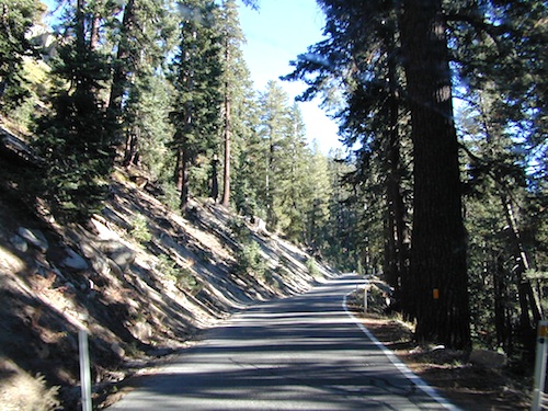
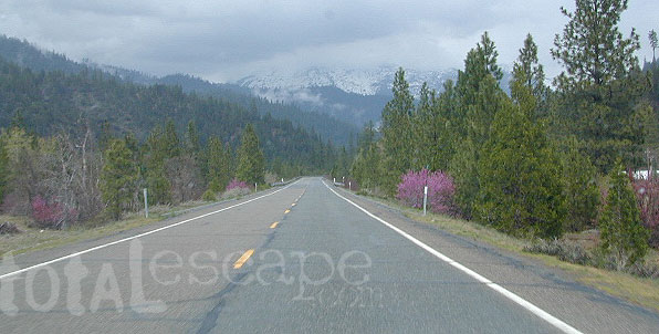


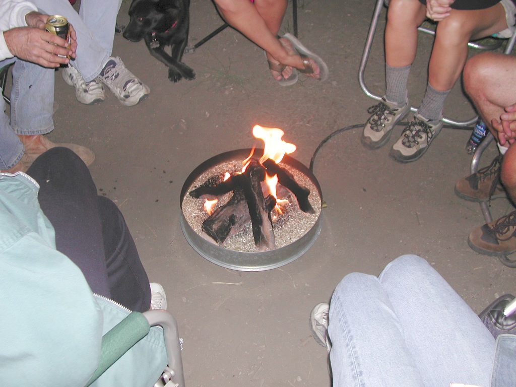


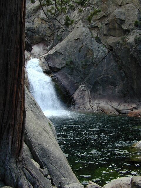


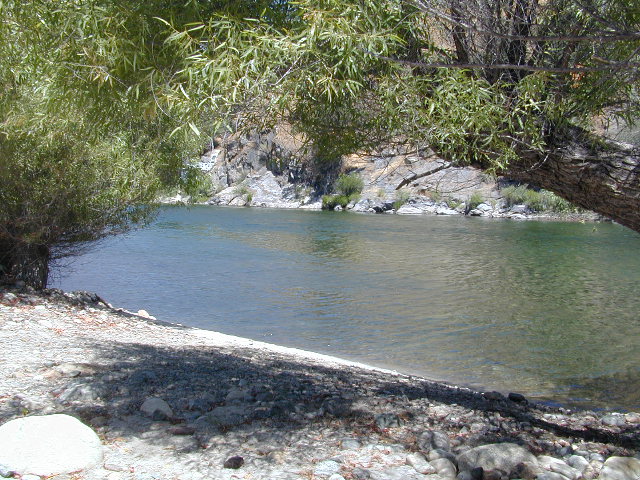

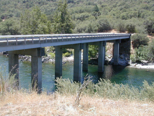
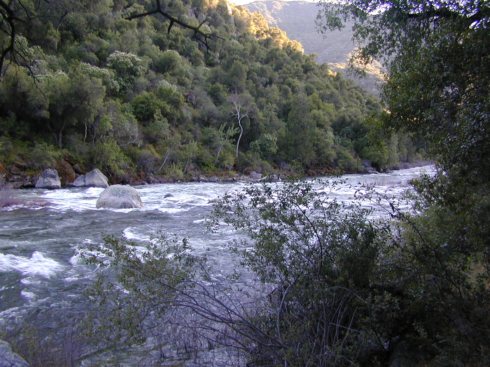
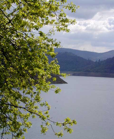

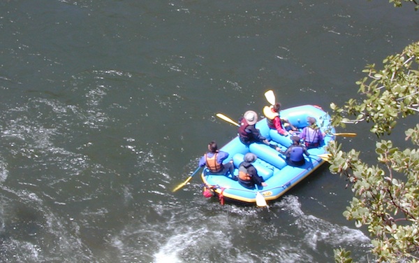


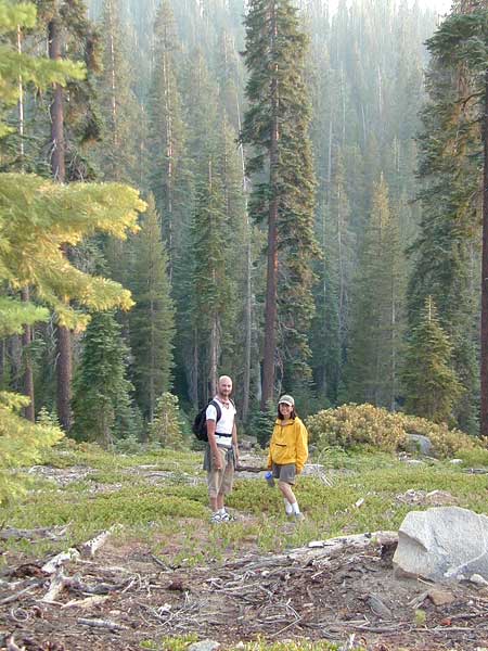

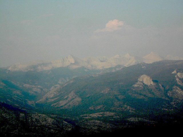

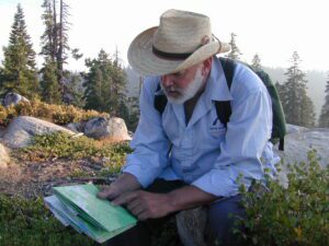


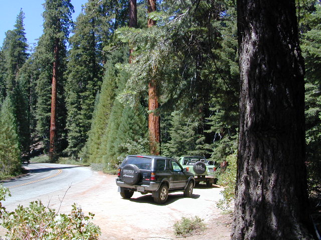
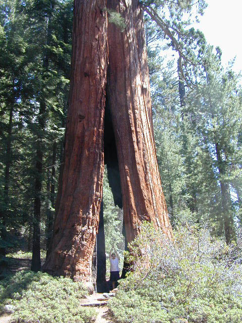

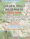
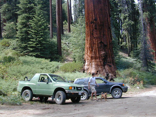
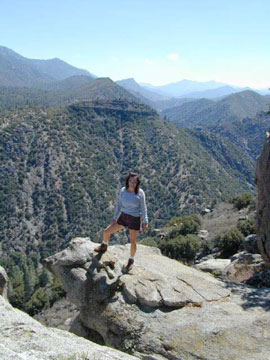


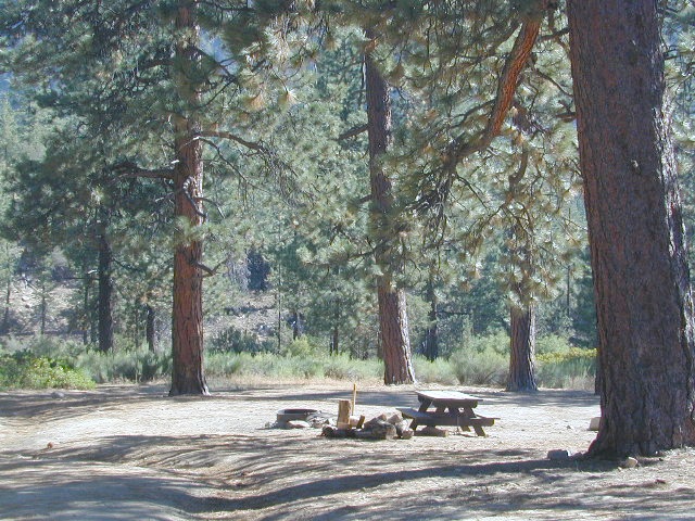


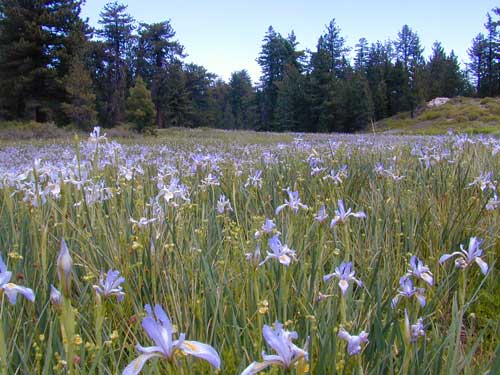
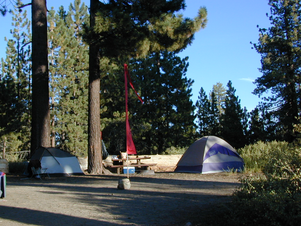
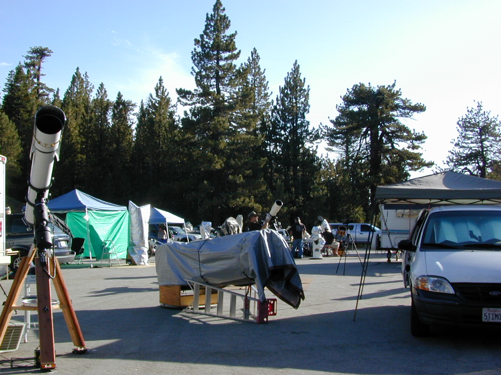
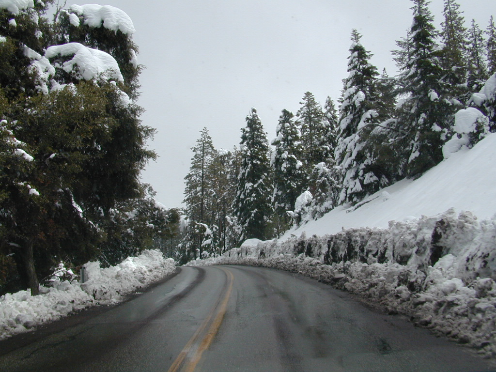
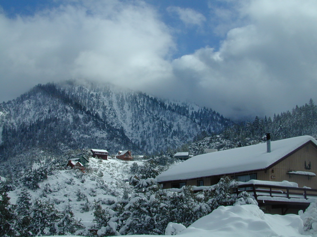
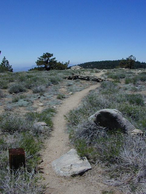

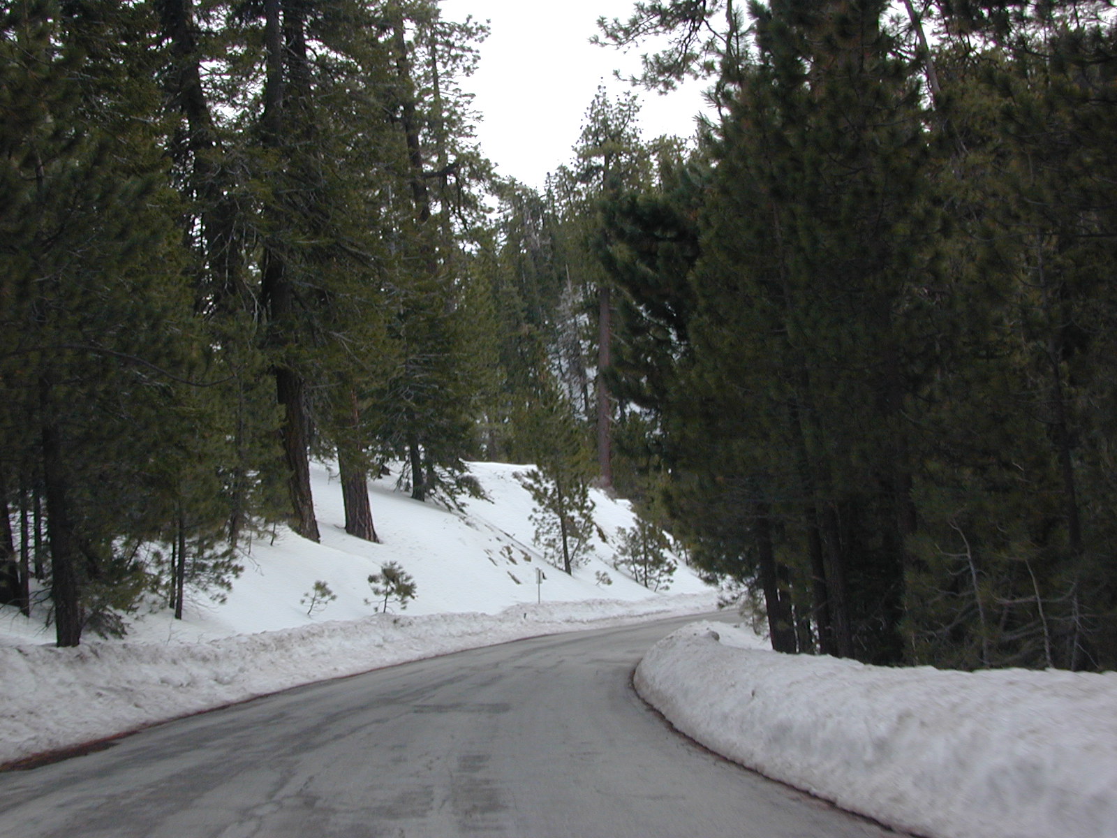
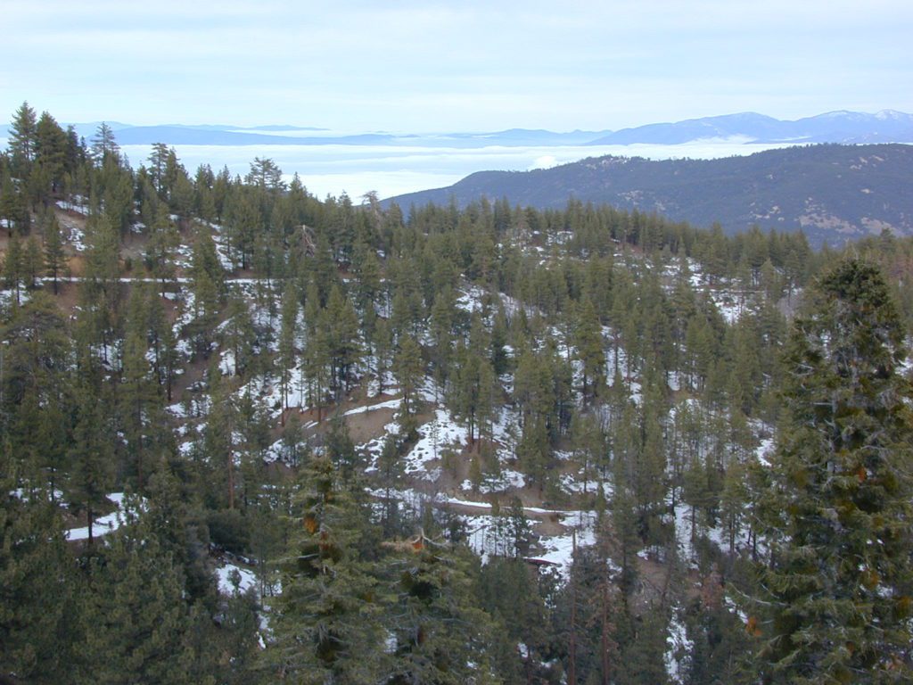

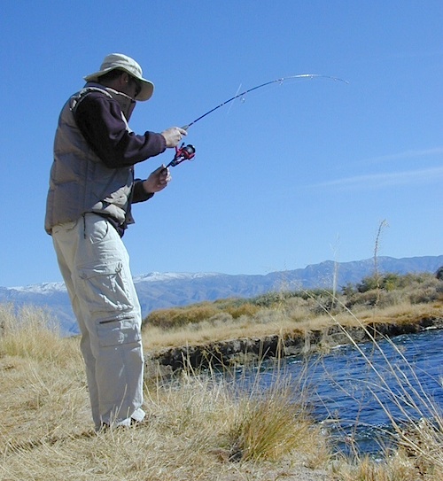

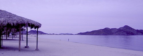


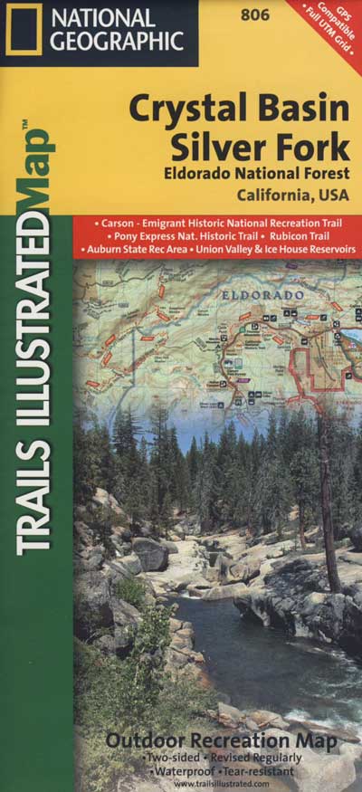


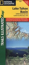


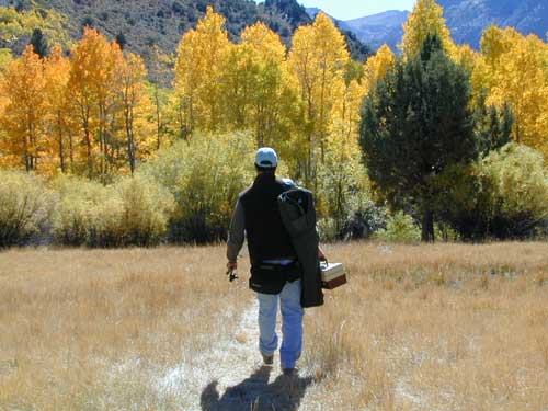


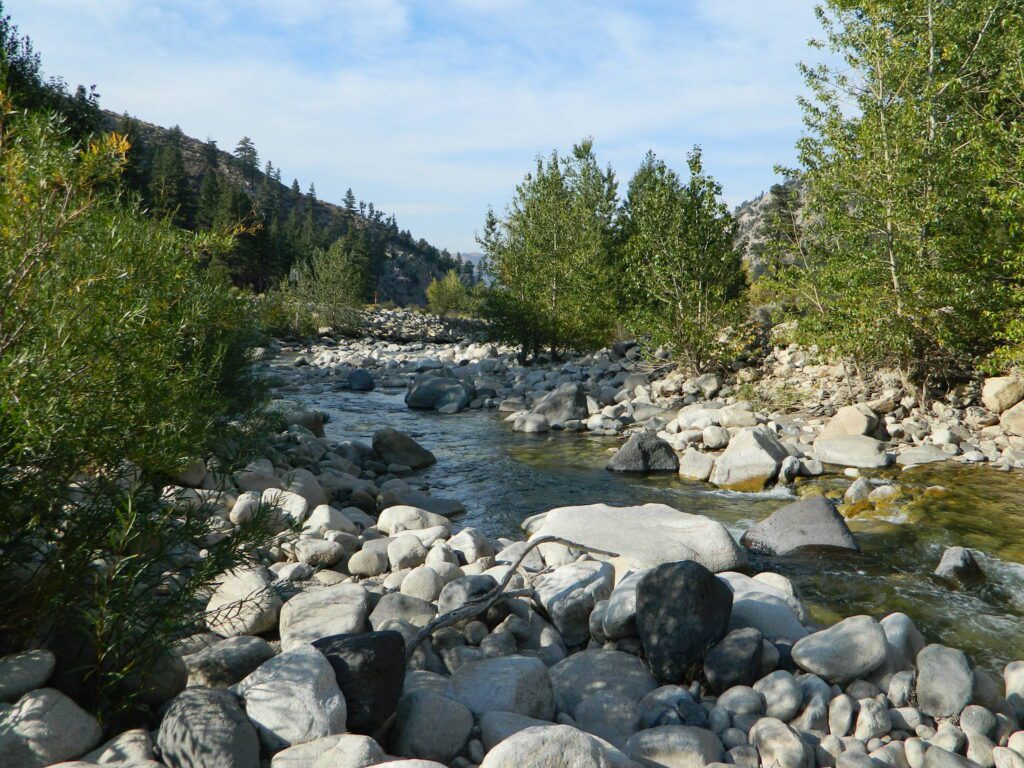

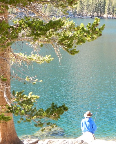

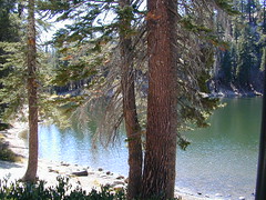
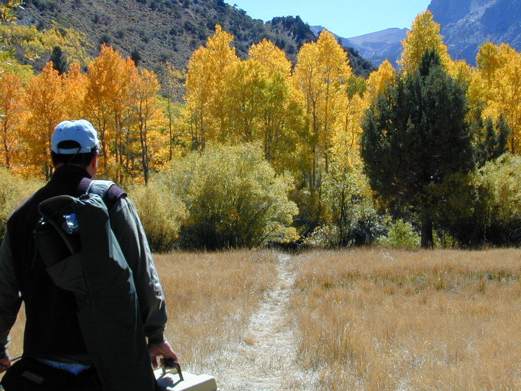


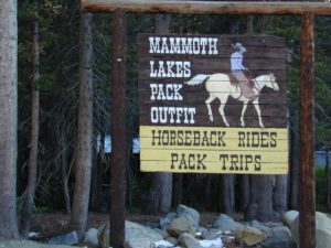
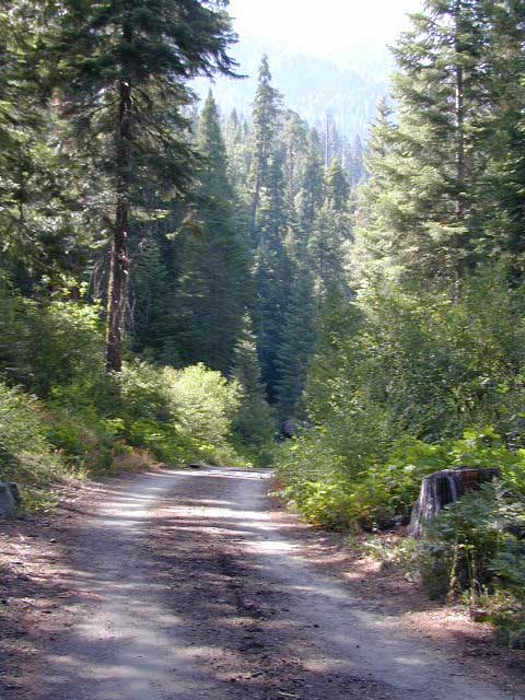
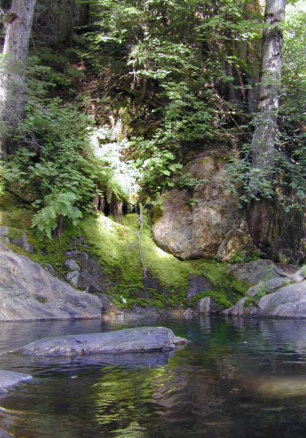
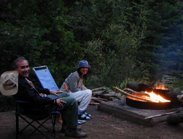

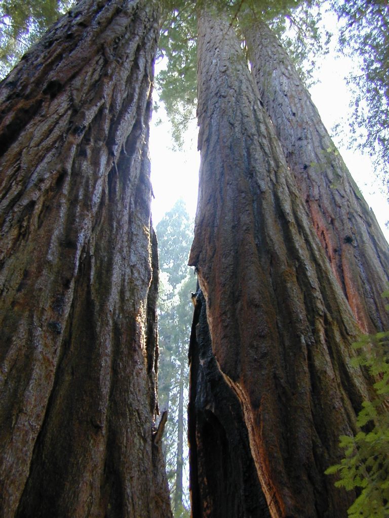

 Motorized vehicles, such as quads, ATVs, dirt bikes, Jeeps & 4x4s must stick to designated routes signed specifically for OHV (off highway vehicle) & you won’t be finding many of those inside National Parks & State Parks, so it’s best to look for BLM or NF lands. Many regular, forest, back roads close in winter due to heavy snow pack & thus become cross country ski, snowshoe or even snowmobiling trails. The best ones can be found in the Sierra Nevada mountains.

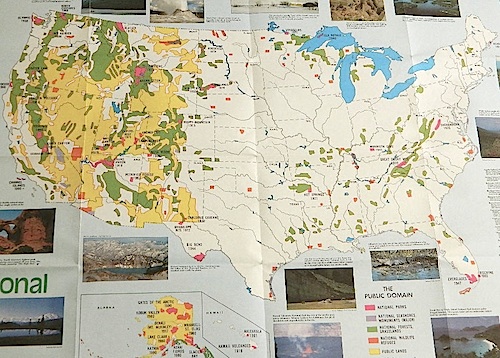


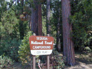
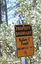
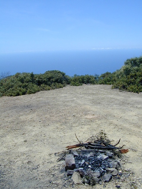
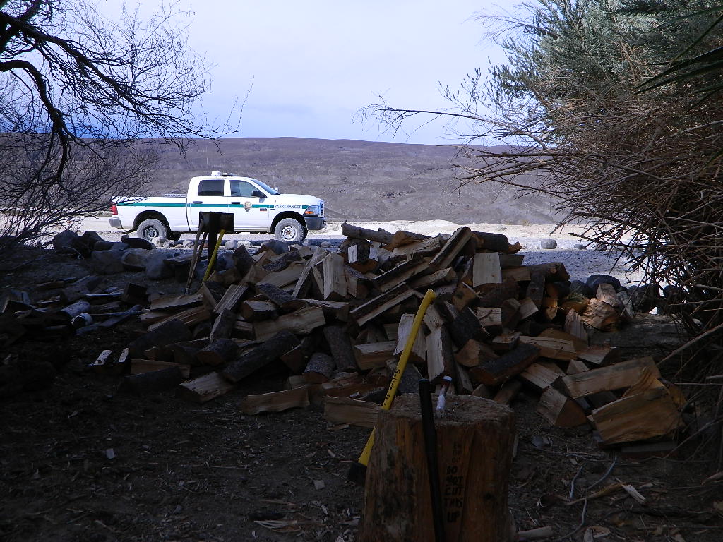


 Some roads are suitable for passenger cars, but many are NOT. Dirt slides, erosion gullies, wash outs and rocks are common on these roads, so drive slow and pay attention. Have a spotter get out and take a look at the road conditions. Have a stroll, in the dark w/ the flashlights.
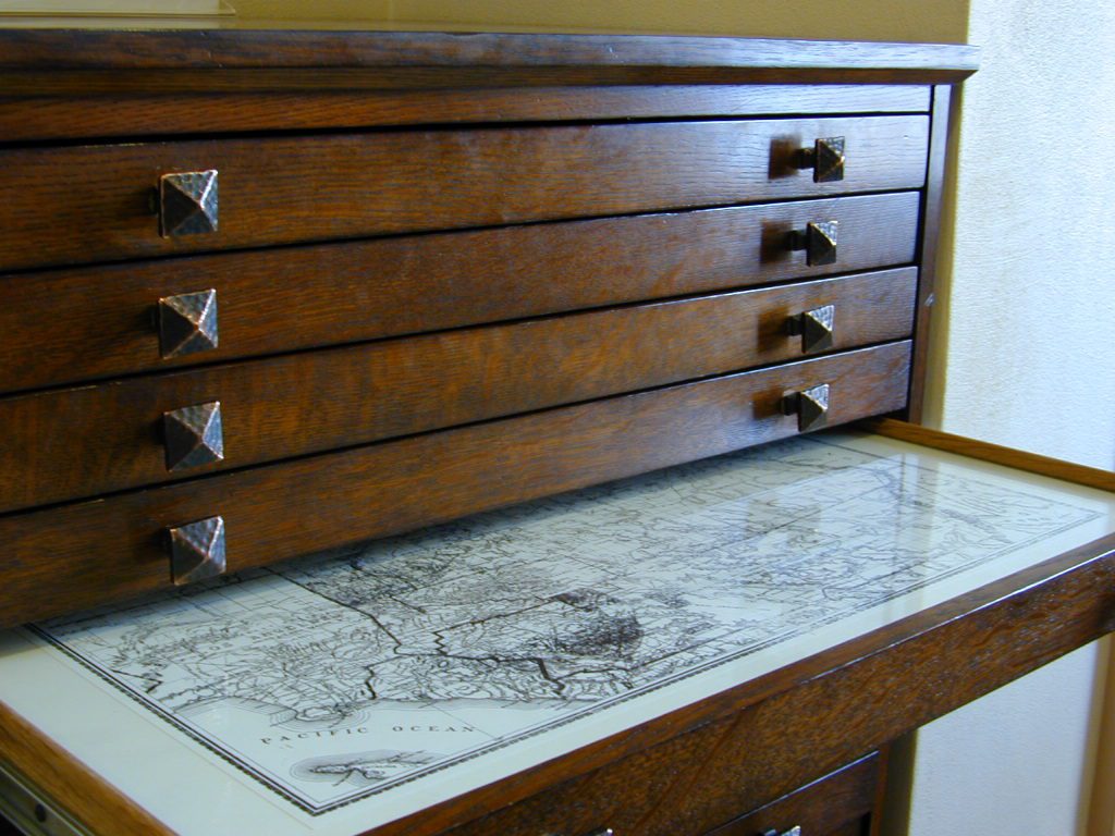
 WILDFLOWERS – joshua tree, yucca, barrel cactus

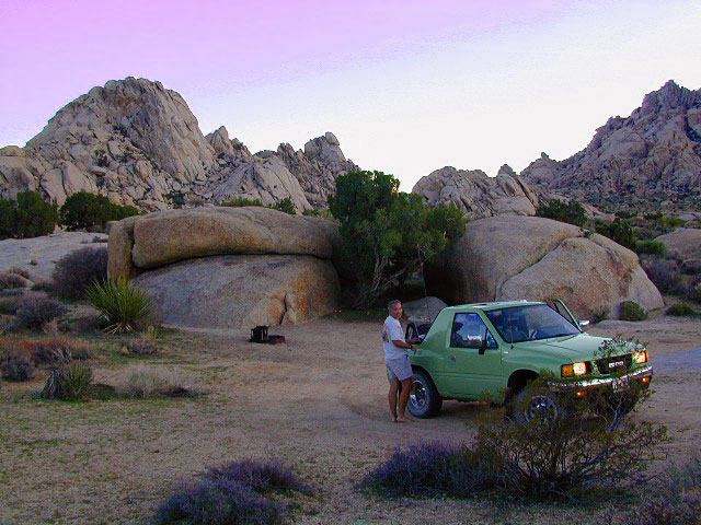

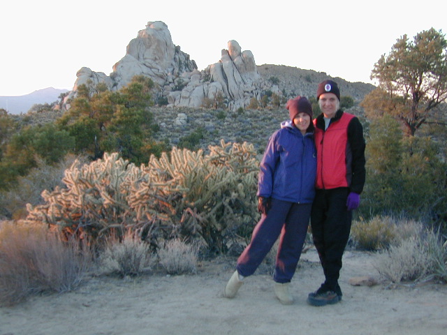


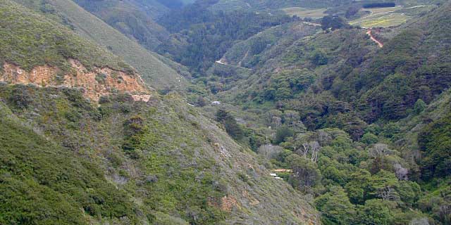
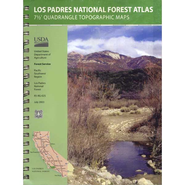


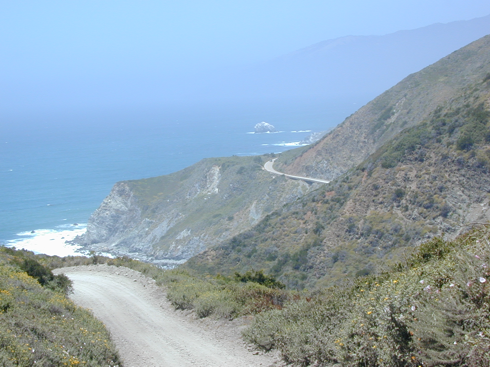


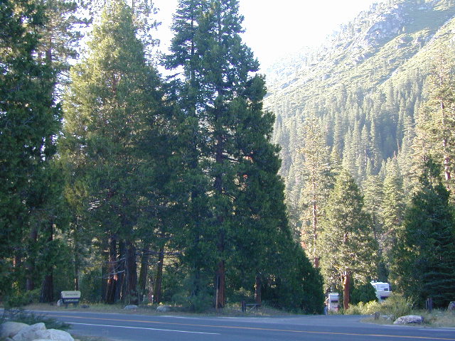

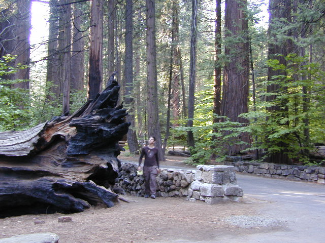


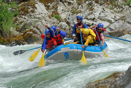

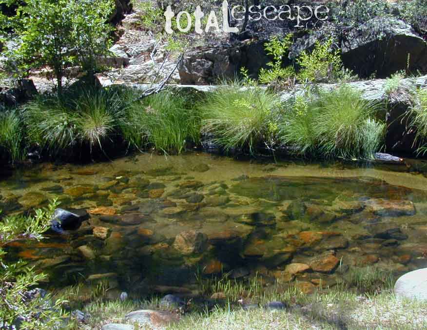

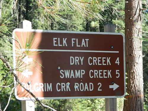


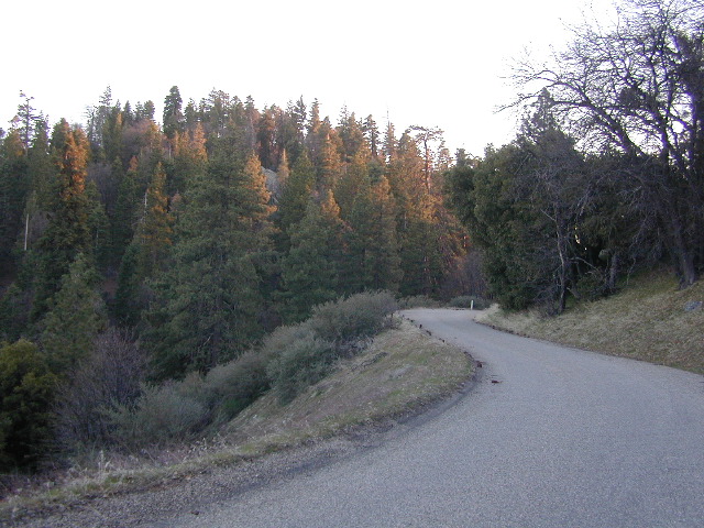


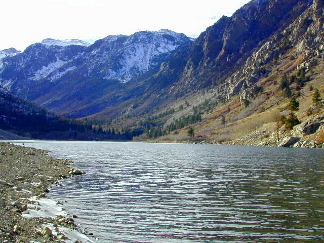
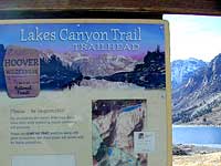
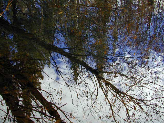
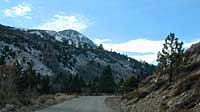
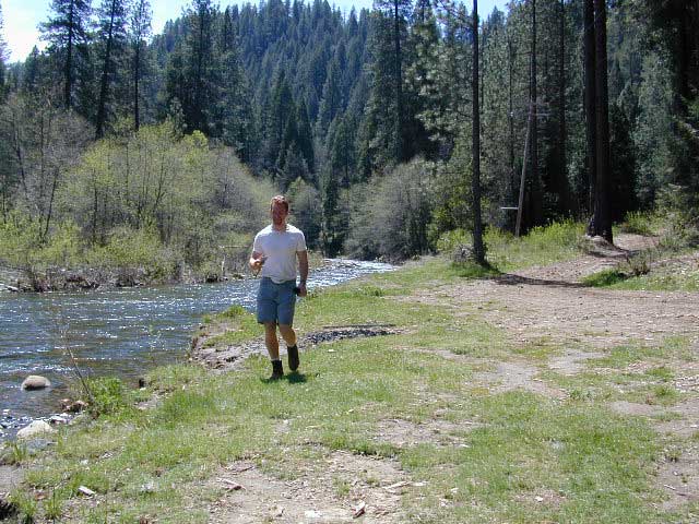
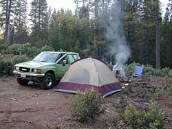
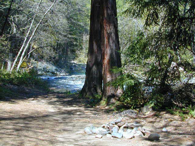


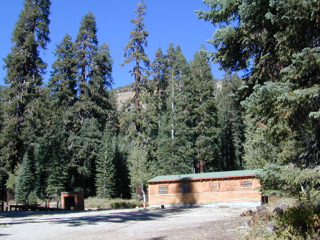


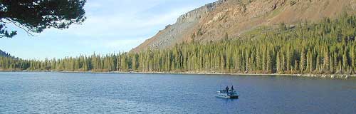

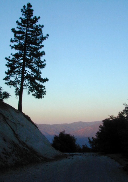

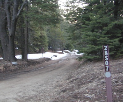
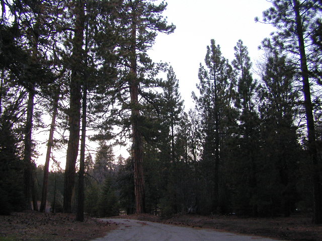

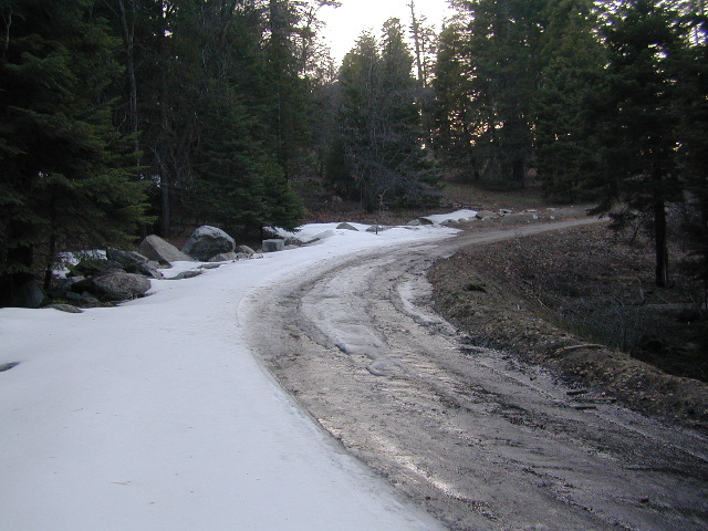
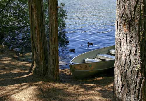
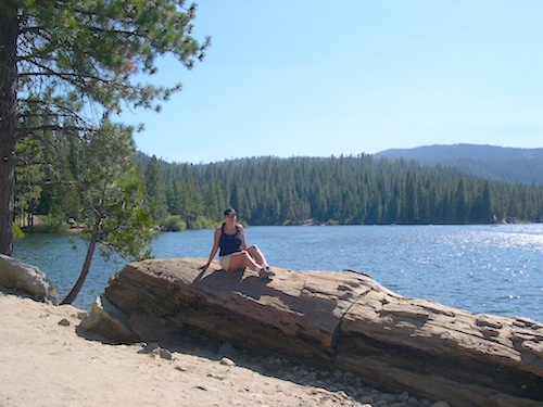
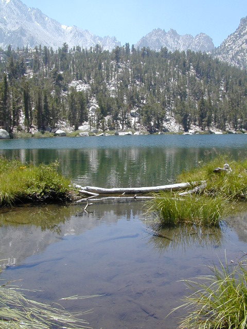

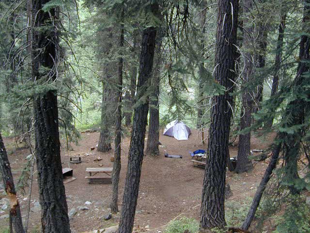

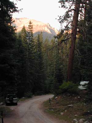
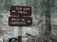
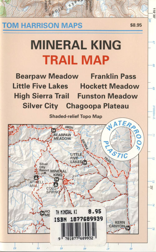

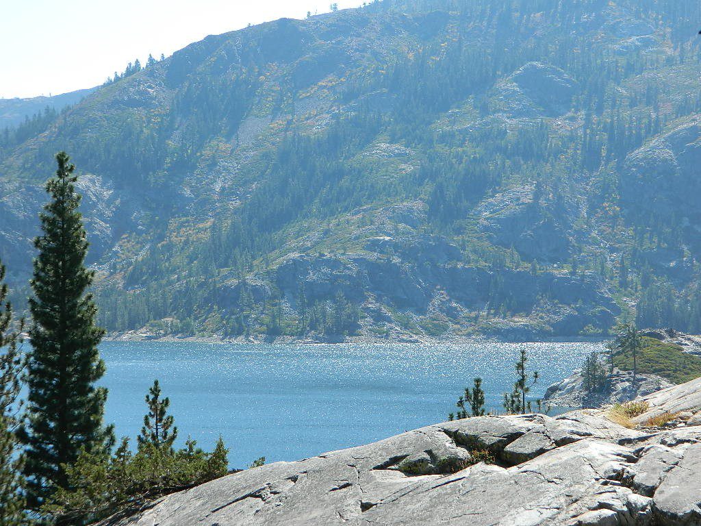

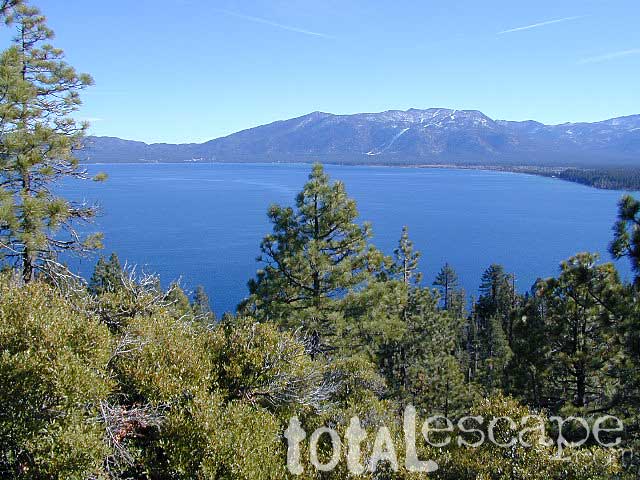
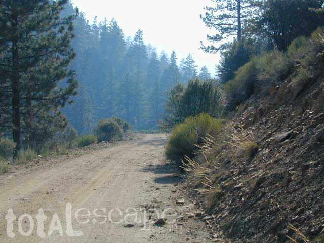

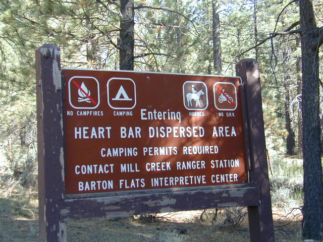


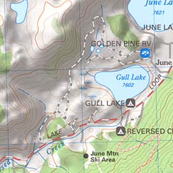 California Terrain
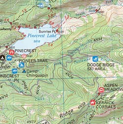
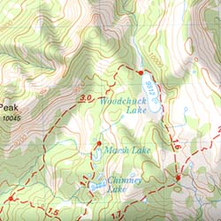

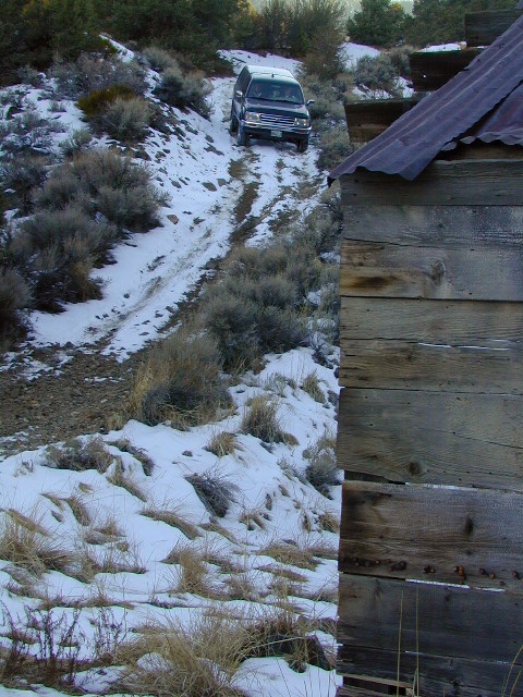

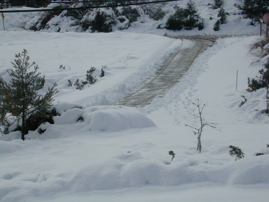
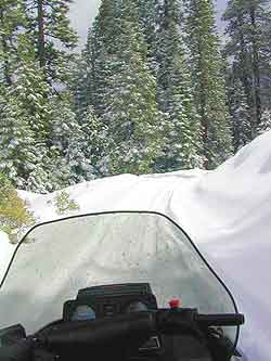
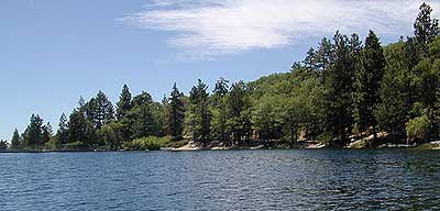

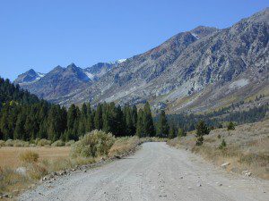


 SDBKCO Recreation Map


 If you are fed up with city life, sitting in traffic & need to vacate your mind among the barren hills of California (if only for a weekend), then Total Escape is your place. You seek solitude, peace, maybe a mini tailgate party & BBQ on a dry lake bed, with the heavenly stars above. Imagine the warm camp fire light reflecting off the high canyon walls, your music echoing, moonlight hikes for a few miles.
 or C as a backup idea.


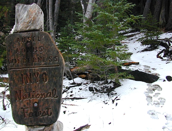


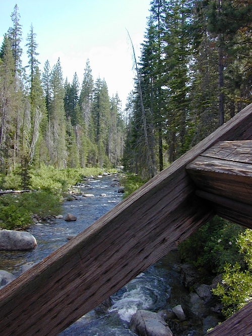

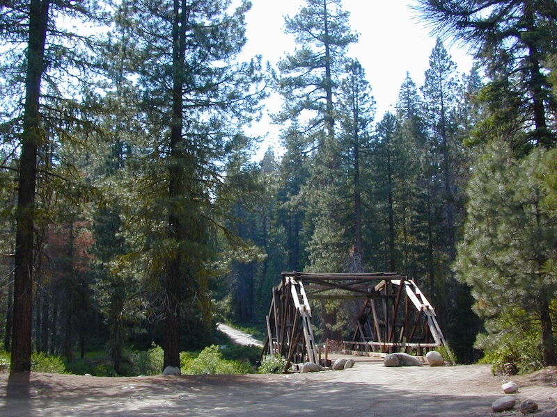
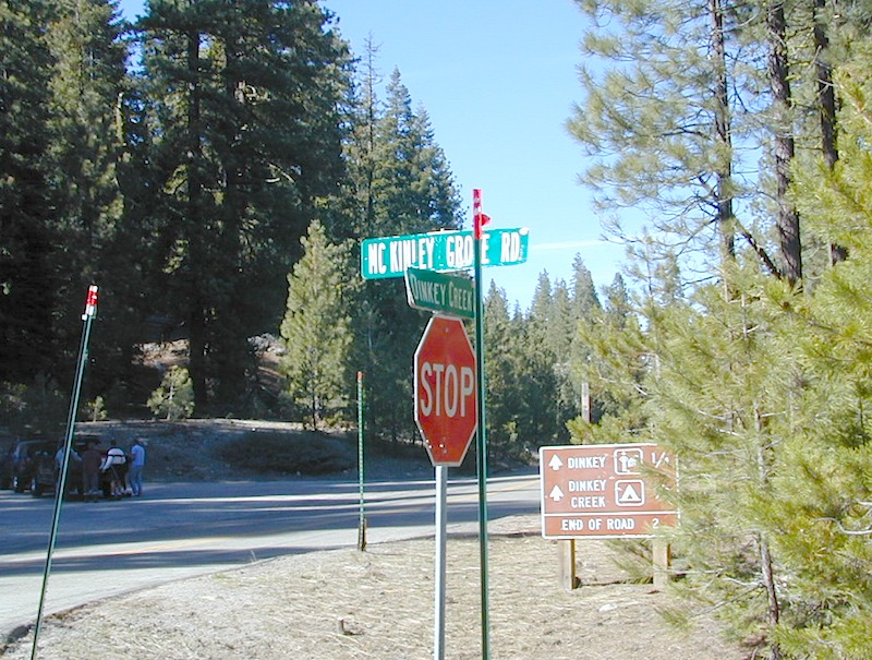


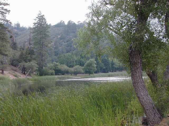
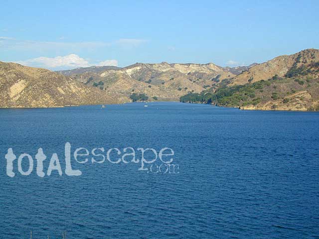
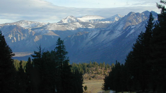
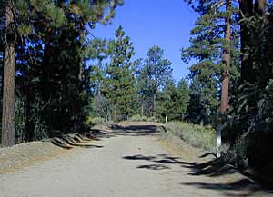
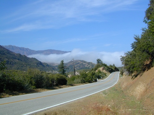
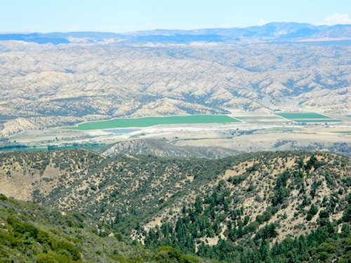


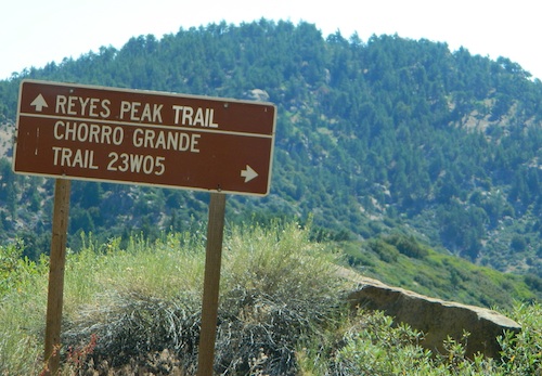


 . The center of the parks is pretty much the town of Borrego Springs, where the State Parks visitors center is located. San Diego County Road S3 leads from Hwy 78 down the the town of


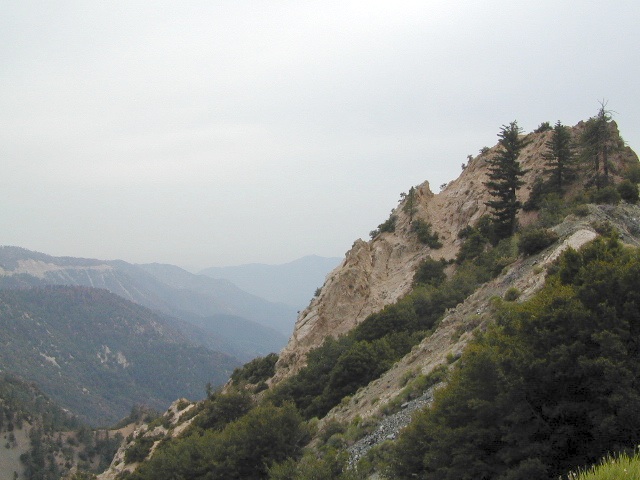
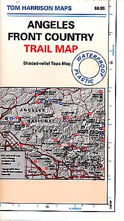
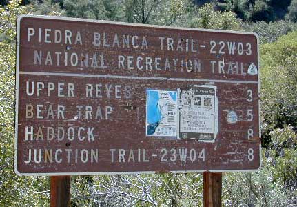
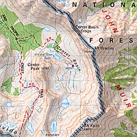

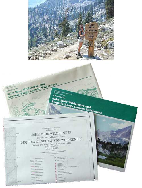


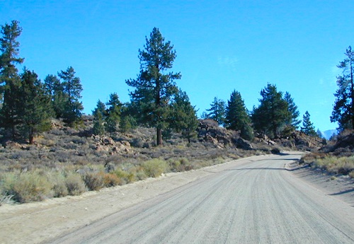

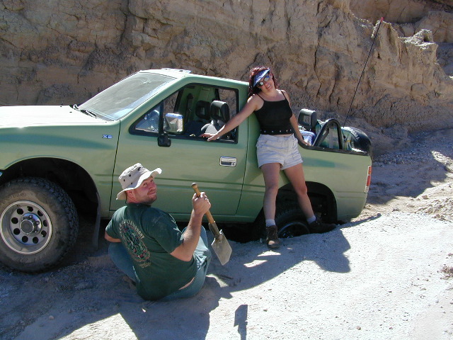
 If you’ve ever tried to travel across the state with a GoogleMap, YahooMap or MapQuest one page printout, you will soon realize the limitations. Stuck in a small town called Julian, at night, on Christmas Eve, arguing with your partner, trying to find your way over to Interstate 10. Not a good plan! A
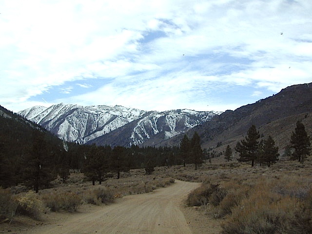
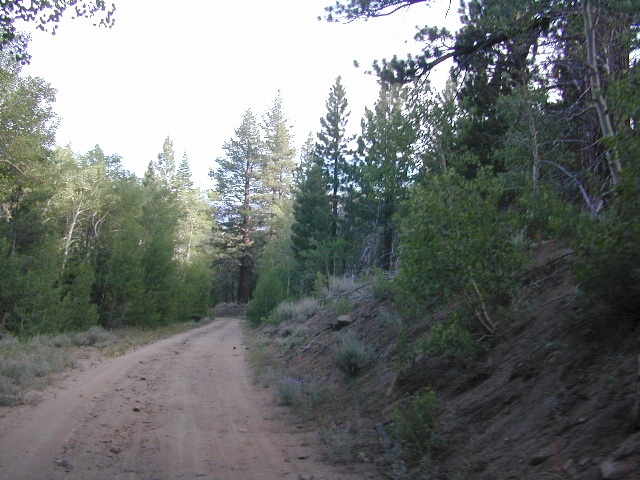


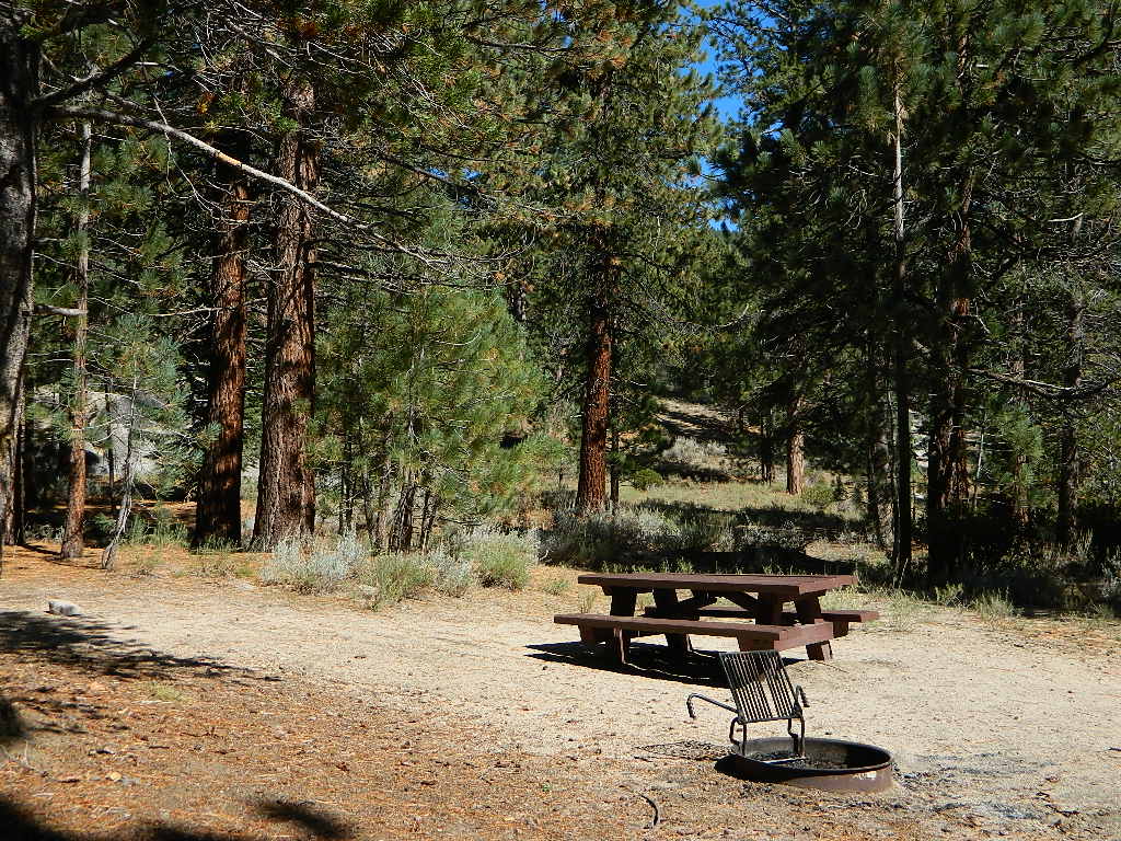

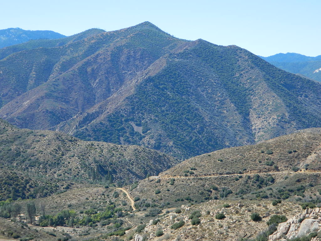


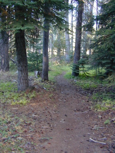


 When you go camping, you wanna explore the area. That’s why you are camping there, right? Hiking & biking trails, equestrian trails, off road routes, river, streams, waterfalls & the closest trail heads. If you prefer primitive camping, outside of developed campgrounds without all the amenities, topographic maps of the back roads give you a perfect overview on where to begin your search.
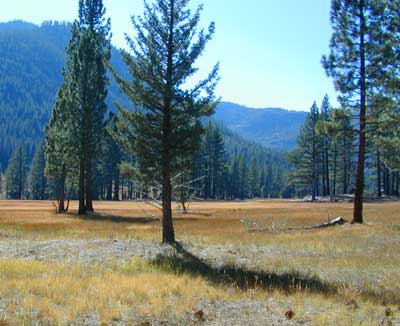
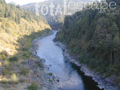


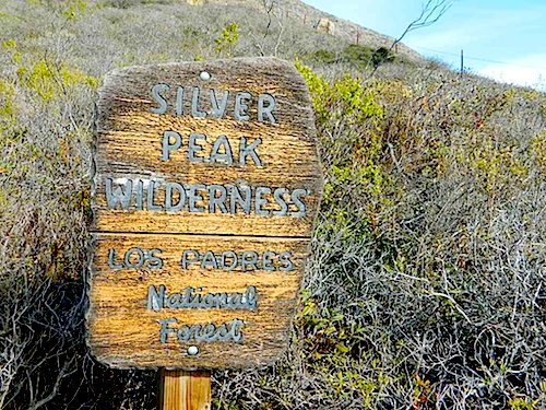
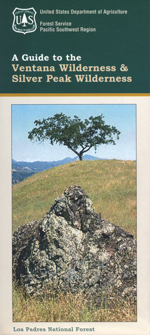
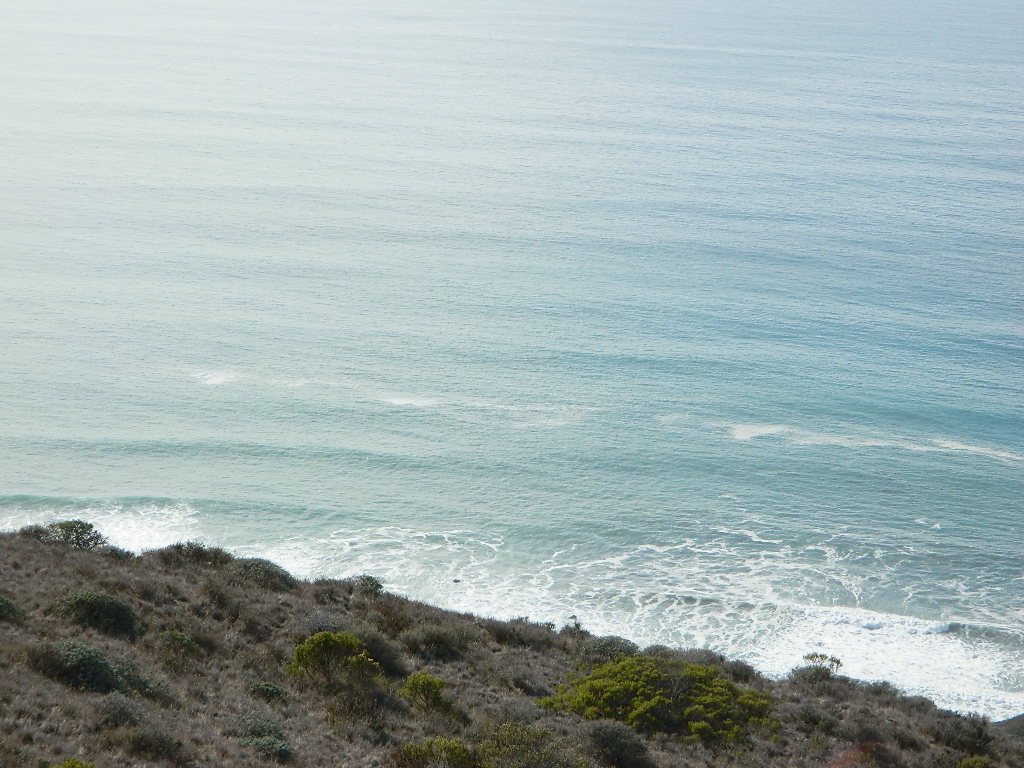
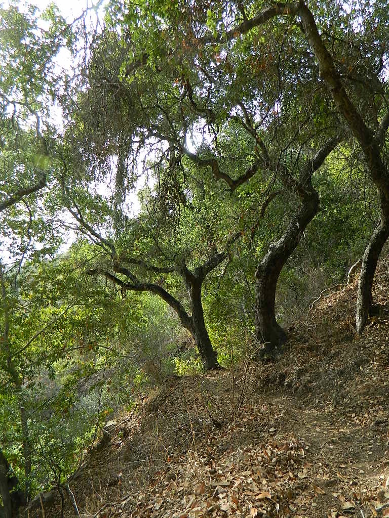
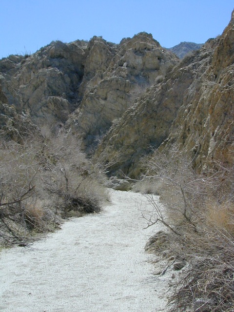


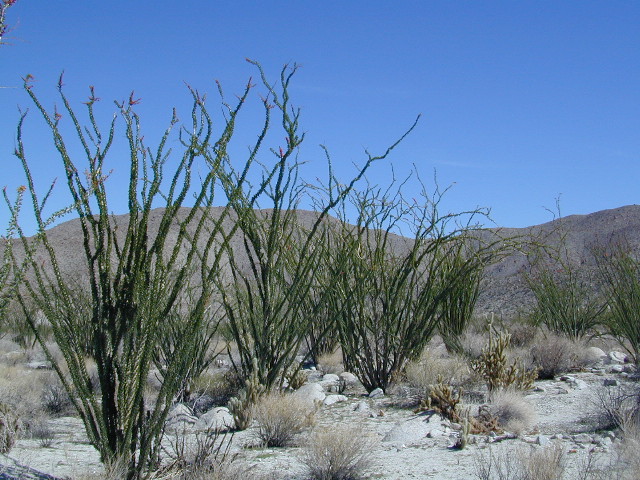


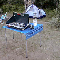
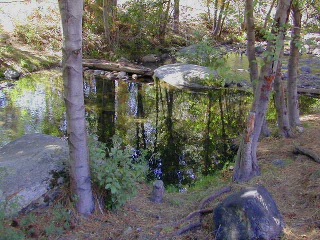


 Mokelumne Map
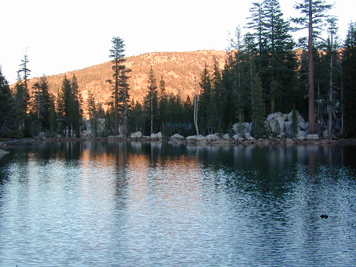


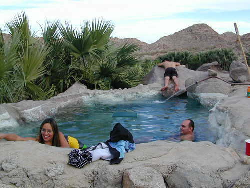
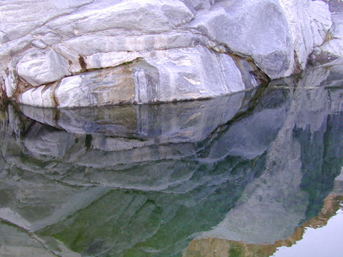


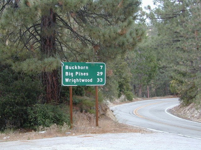
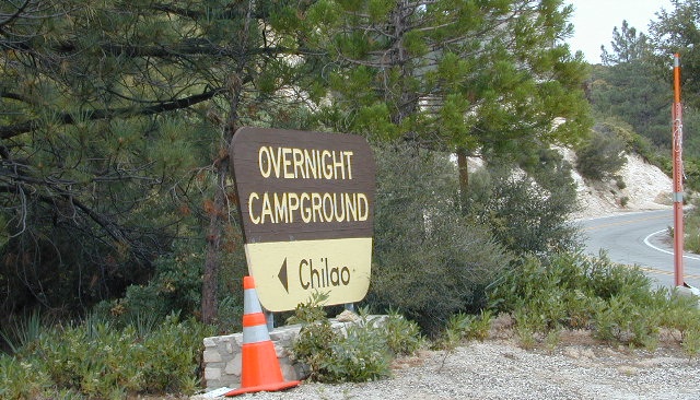

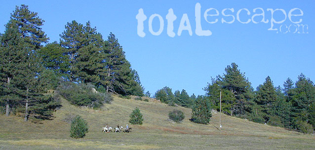

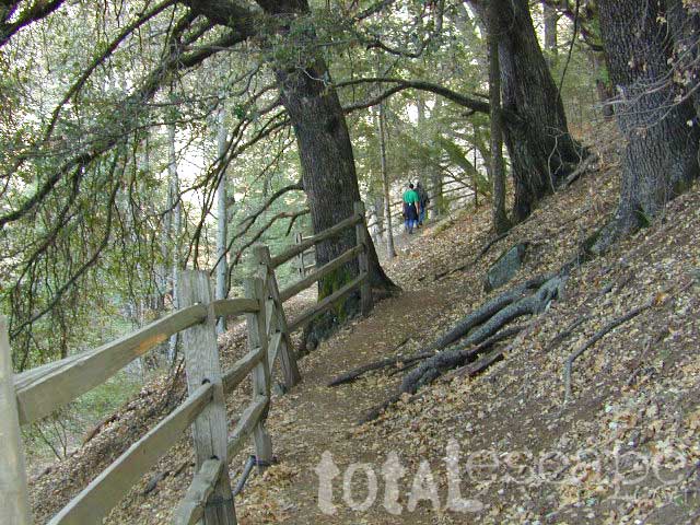
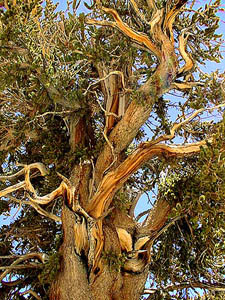
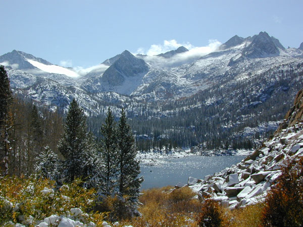
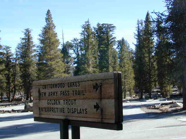
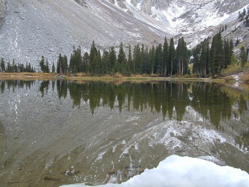