Starting in 2014 Death Valley National Park announced that there will be NO sporting events of any kind held within Death Valley National Park, so this particular event has been relocated to the high desert region of Reno, Nevada
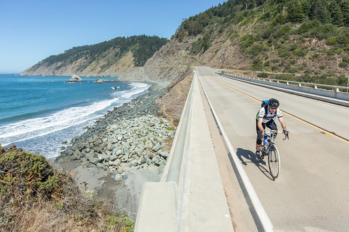
Claimed as the “Toughest 48 hours in Sport”, a 508-mile bicycle race revered the world over for its epic mountain climbs, stark desert scenery, desolate roads, and its reputation as one of the toughest but most gratifying endurance challenges.
*NOTE: moved from the month of October to September
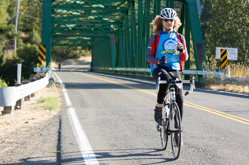
This cycling event has now morphed into multiple events at various locations.
Green Fondo, California
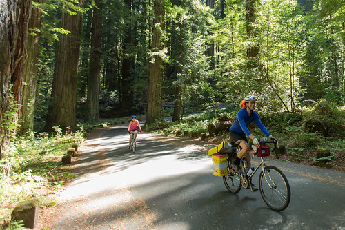
Annual charity bike ride where folks ride a few hundred miles over days, learn about clean energy, support a great cause, and have fun cycling. Bike route changes every year.
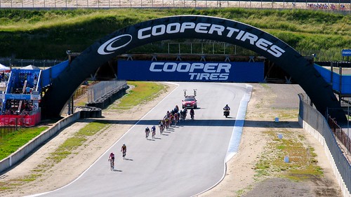
Life Time Sea Otter Classic
Mountain Bike Festival in the Monterey Bay area.
International racing, beginner to pro. XC, downhill, dual slalom, mountain cross, short track, trials and jump contest.
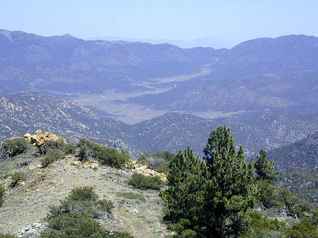
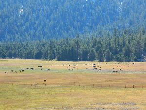
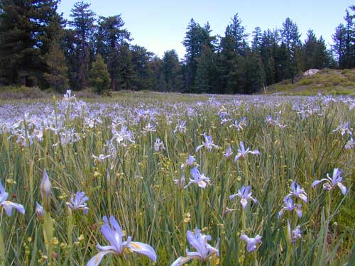
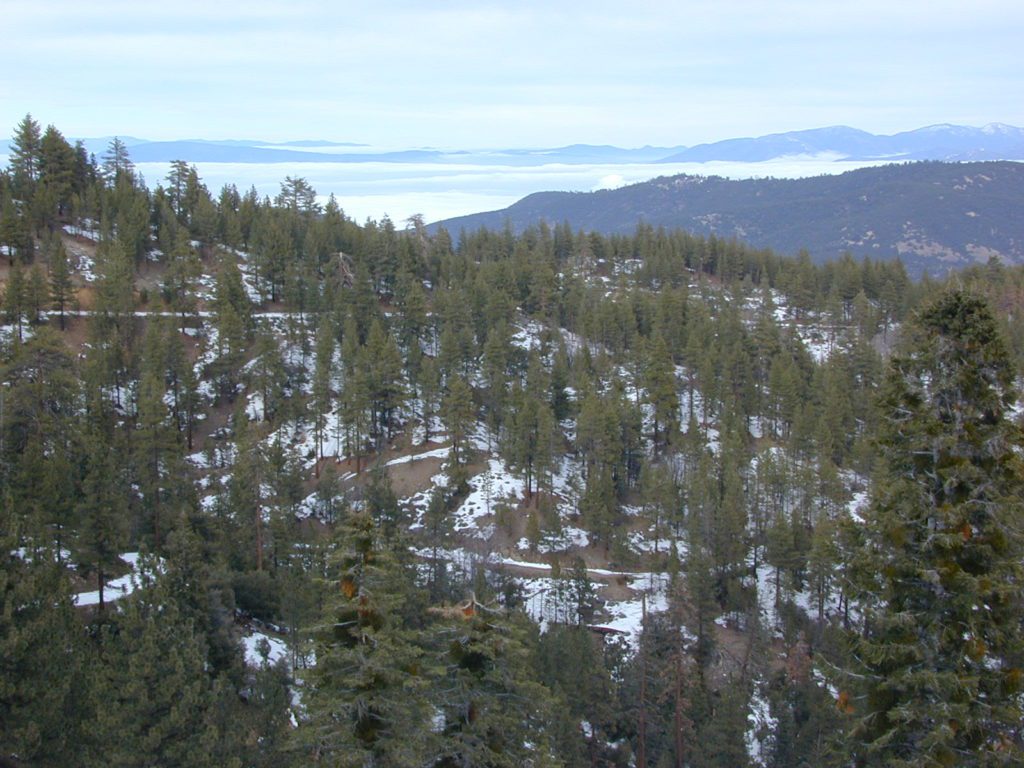
A little bit of high altitude, alpine forests in Southern Cal. Mount Pinos campgrounds are the ones on the way up to Mt Pinos 8831′ on the paved route to the top parking lot, Mount Pinos Road. Only 2 campgrounds take reservations & can be busy in summer months. Chula Vista Camp (at the top parking lot, short walk on trail) has an amazing wildflower meadow w/ group camp area. Drum circles are common on summer weekends.
backpacking
camping
hiking
mountain biking
sledding & snow play
stargazing
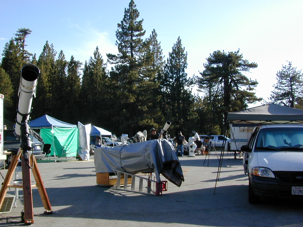
Mount Pinos parking lot is well known among RVers, astronomers & cross country skiers. If the 2 snow gates are open, you’ll find RVs camping out here until winter officially starts. The peak to peak trail from Mt Pinos to Mt Abel 8243′ starts at this parking area & trail head. Cool ski hut that no Forest Personnel every seems to be operating. Portable toilets available.
Pinos Star Party
In the mid-winter, snow is almost guaranteed up here. Families & sledders flock to this region for snow play causing major traffic jams & parking problems. On the busiest of weekends w/ a recent snow storm, you may find several miles of vehicles, backed up from Pinos to the freeway (causing 10 miles of traffic jam in the mountains). It is not uncommon to see CHP managing traffic flow on the weekend. Snow play areas are located at the top on Pinos, if the gates are open.
Mil Potreo Highway, on a good winter 2005
If not the “Y” – where Cuddy Valley meets Mil Potrero Hwy. is the main snow-play destination. This is a very busy intersection at all times of the year, as it is the main route entering Pine Mountain Club, located 5 miles to the west. Be considerate! Do not litter and please park OFF THE PAVEMENT; keep kiddies, sleds & BBQs out of the road ways.
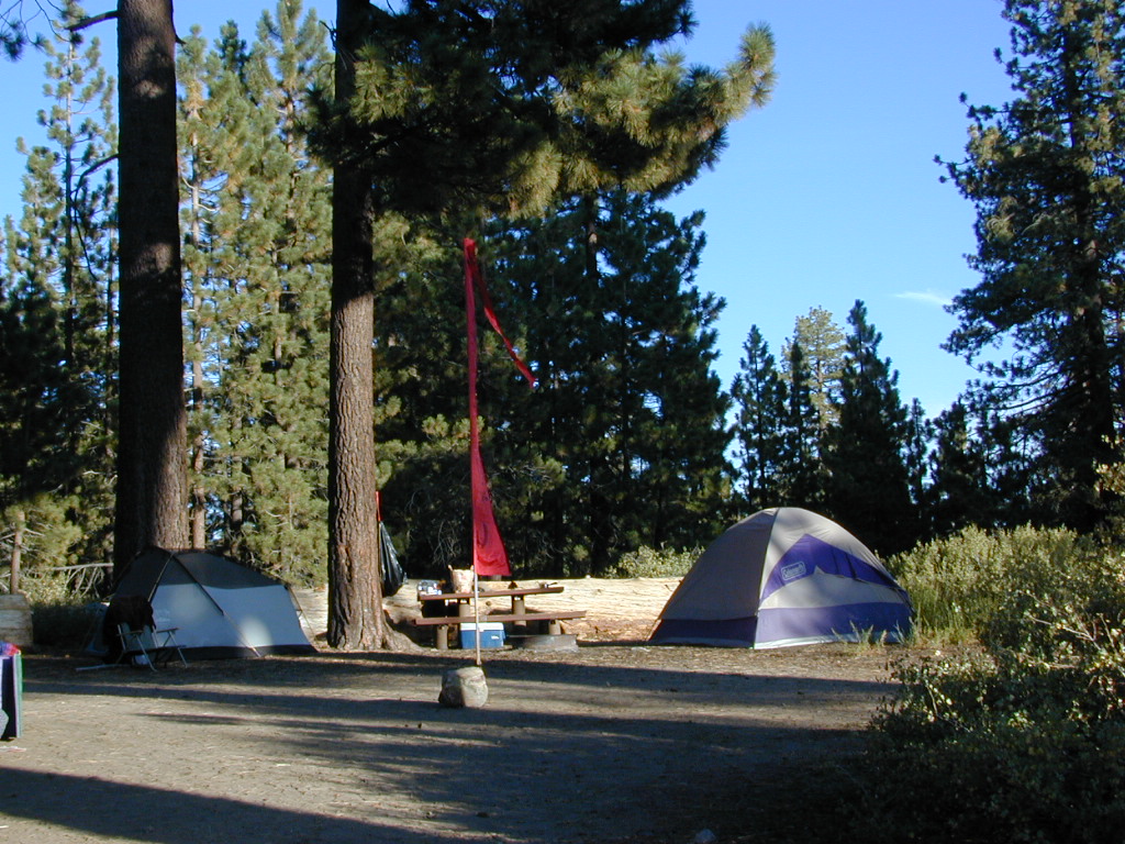
The pinyon pine forests surrounding Mount Pinos Recreation Area is Los Padres National Forest, where there is every kinda camping imaginable.
Outdoor resort communities such as Pine Mountain Club & Lockwood Valley Road are close by and surround the highest mountain peak in Kern County. Mil Potrero Campground, developed NFS Campground, open during summer only.
Rugged backpacking, or back road motorcycle 4×4 camps – with maybe one camp fire ring (still intact). Windwolves Preserve, Quatal Canyon, Cerro Noroeste, Valle Vista, Lockwood & Cuyama Valley.
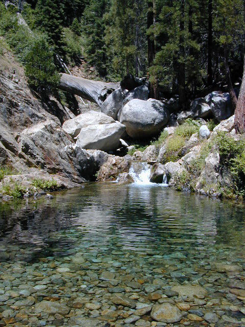
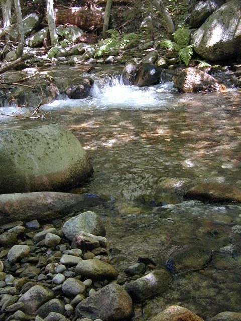
Located right on the middle north fork of the Tule River
Small developed campground on the back roads of Mountain Home State Forest. Campground closes seasonally, for winter snow.
Usually open: MAY-OCT
Swimming Holes on Tule River
MOSES GULCH CAMPGROUND
• Elevation: 5,500′
• Number of Sites: 10 walk-in camp sites
• Reservations: No
• Sites Available: First come, First serve
• Vehicle Accessibility: No RVs
• Length of Stay: 14 Days
• Water: River nearby
• Toilet: Vault
• Bear Boxes: Yes
• Trailheads: Tule River; Moses Mountain; Golden Trout
• Season: Closed for winter months
• Fee: Yes
• Operated By: National Forest Service
• Closest Town: Springville, California
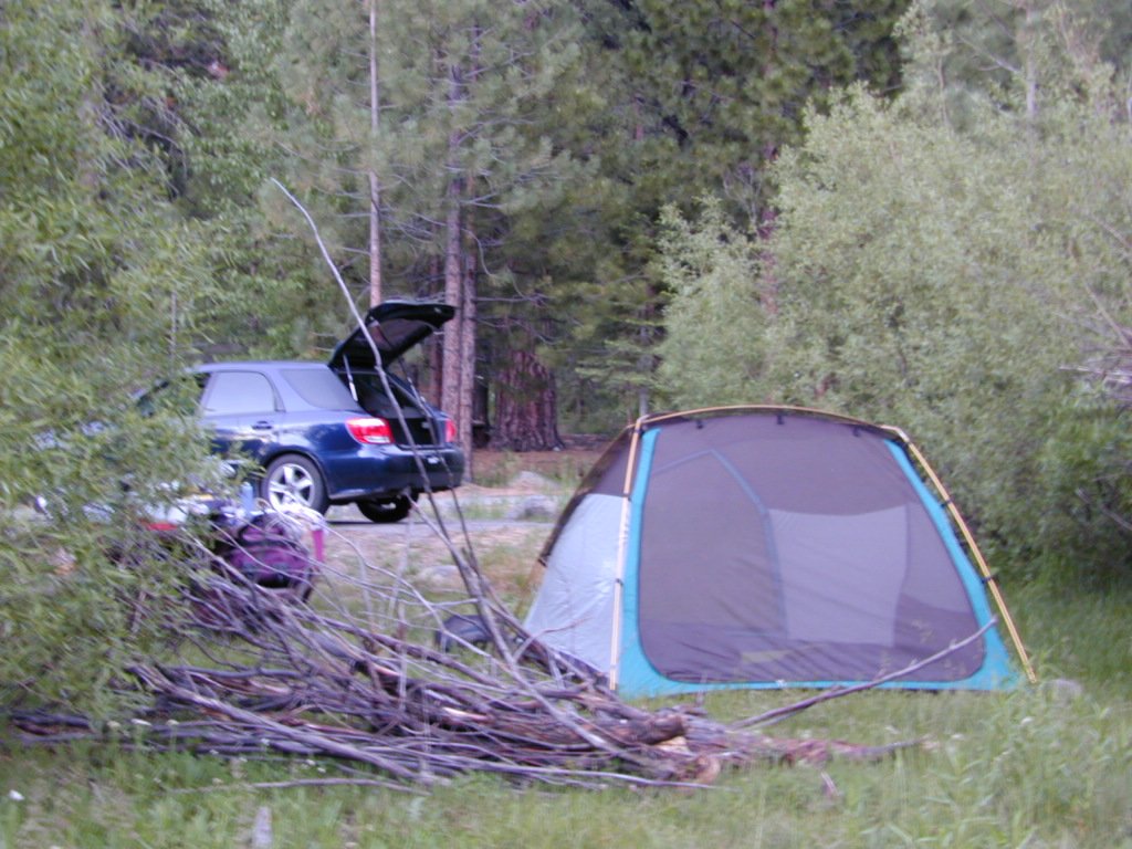
tent camping on river
Motorhome RV campers beware; no hook-ups, no paved roads. This is a primitive style camp, way back on a dirt road – not suitable for large vehicles.
NOTE $ This used to be FREE CAMPING, but they recently started charging an overnight fee for this campground.
bike
camp
fish
hike
picnic
stargaze
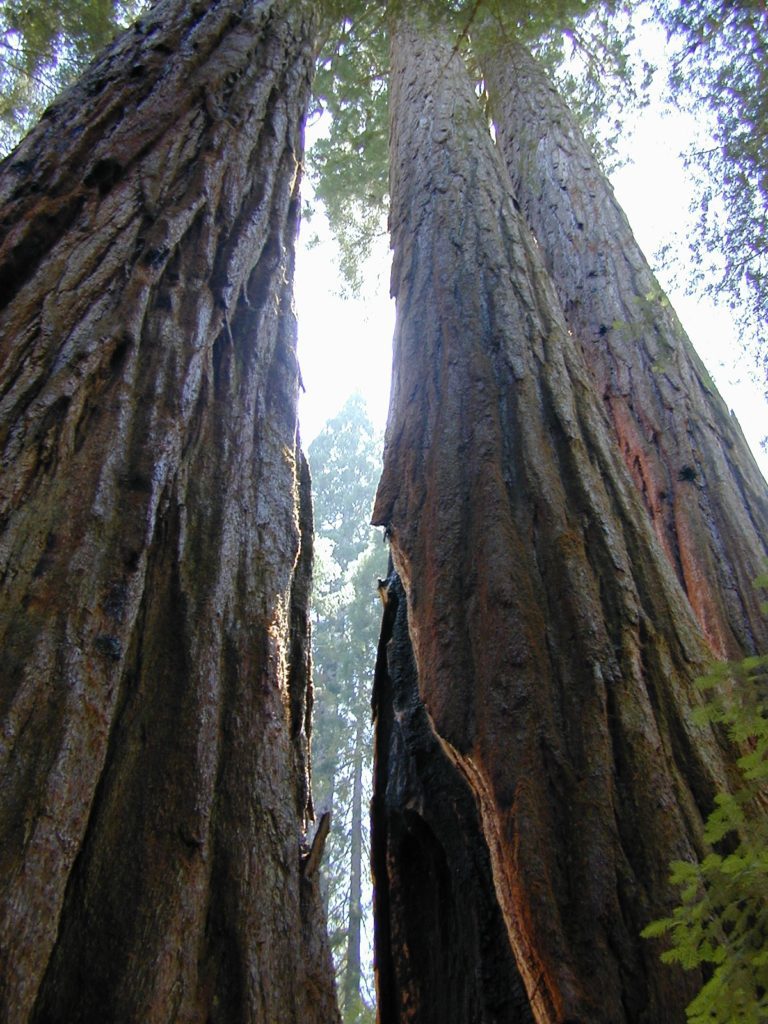
Golden Trout Wilderness is closeby. Plenty of hiking opportunities, great scenery and several Sequoia groves to visit. Mountain biking is allowed on the dirt roads. Single track trails may be overgrown or even off-limits, due to the fragile eco-system around Sequoia trees.
Tule River, north fork of the middle Tule
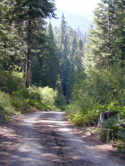
Both Moses Gulch and Hidden Falls are accessible via a long, narrow, paved mountain road; then a dirt road, leading 3 miles back to the remote reaches of the Wilderness edge.
western south sierra
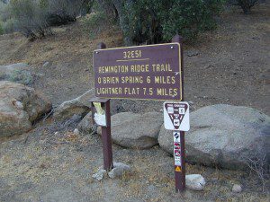
North of Springville on Highway 190, turn left (north) on to J37, some call it Balch Park Road (Google Maps has it as Wagner Drive) and follow it up 3.5 miles to Bear Creek Road (#220). Drive 17.5 miles on curvy Bear Creek Road, turn right and follow signs to campground.
Located right on the middle north fork of the Tule River
Inside an unknown area called Mountain Home State Forest, this small campground has a few spots that fill up quickly on weekends and at anytime during in the summer months. Campground closes seasonally, for winter snow.
Usually open: MAY-OCT
HIDDEN FALLS CAMPGROUND
• Elevation: 6,150′
• Number of Sites: 8 walk-in camp sites
• Reservations: No
• Sites Available: First come, First serve
• Vehicle Accessibility: 20′ max.
• Length of Stay: 14 Days
• Water: River nearby
• Toilet: Vault
• Bear Boxes: Yes
• Season: Closed for winter
• Fee: Yes
• Operated By: National Forest Service
• Closest Town: Springville, California
tent camping on river
Motorhome RV campers beware; no hook-ups, no paved roads. This is a primitive style camp, way back on a dirt road – not suitable for large vehicles.
NOTE $ This used to be one of our favorite FREE spots, but they recently started charging an overnight fee for this campground.
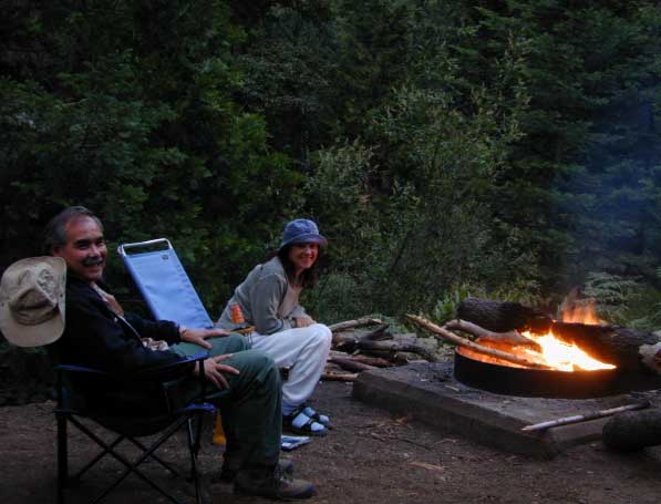
Views from Camp
bike
camp
fish
hike
picnic
stargaze
Golden Trout Wilderness trailheads nearby. Plenty of hiking opportunities, great scenery and several Sequoia groves to visit.Mountain biking is allowed on the dirt roads. Single track trails may be overgrown or even off-limits, due to the fragile eco-system around Sequoia trees.
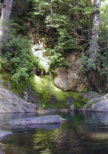
You may actually love this little camp so much, you won’t want to go anywhere else. How ’bout just chillin out: relaxing near the water. Shady swimming holes. Fishing in the Tule River.
Pack a picnic: Back road exploration is a great day trip, for there are many dirt roads weaving in and around this park, near the Giant Sequoia.
Tule River, North Fork
Hidden Falls is accessible via a long, narrow, paved mountain road; then a dirt road, leading 3 miles back to two very secluded campgrounds: this one & neighboring Moses Gulch Campground.
western south sierra
North of Springville on Highway 190, turn left (north) on to J37, some call it Balch Park Road (Google Maps has it as Wagner Drive) and follow it up 3.5 miles to Bear Creek Road (#220). Drive 17.5 miles on curvy Bear Creek Road, turn right and follow signs to campground.
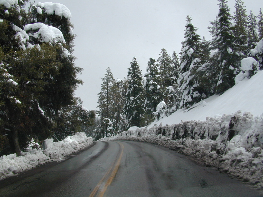
Mountain biking has become a popular sport especially in California. We’ve got so much great terrain, so close to home (the urban sprawl), that this outdoor hobby is bound to get you back in shape, fast. Start slow to avoid burnout and injury. The weather is awesome, just go. Plan a camping weekend & bring your bike!
Obvious (but humorous) information on bike riding or mountain biking in Sequoia NP. Upon doing research for this page, noticed a heck of a lotta folks typing in the phrase
Sequoia National Park Bike Trail
I laugh…. but plenty people are searching for bike trails near Sequoia groves, inside the most protected of lands, the National Parks.
Firstly, most National Parks in California do not allow bikes on hiking trails. The Sierra Nevada has NO National Parks that allow mountain biking on their trails. (official words are: Biking is allowed on the main roads in the parks but is prohibited on park trails.)
Yuk. Who wants to ride on asphalt in the wild?
Yosemite & Lake Almanor both have nice paved bike paths. But you may want dirt trails for biking. Be it mellow mountain biking on forest roads, or the hard core Downie-droppers.
California Wilderness Areas are the same rules, but even tighter. So that brings us to Sequoia National Forest. Yes, indeed California National Forests allow mountain bikes on most trails, in most cases. The popular trails might even get small brown signs showing bikes that are allowed.
Second, there are no bike rentals inside Sequoia National Park (or Kings), so you must bring yours in, or better yet ride in. I dare you. Although you cannot take said bike on a dirt trail, so you’ll need to stick to pavement only. The main highway (Hwy 198) has got to be one of the curviest, narrow, fern lined ridge routes of the region. You would be a fool to ride this area, as a senior citizen w/ a 40 foot motorhome or a speeding SUV may take you out on a curve. Seriously! You better be in great shape if you plan to descend into Kings Cyn. That route is just as dangerous if not more so. These 2 National Parks – Sequoia & kings, both get a lotta traffic. Year round.
Thirdly – here is the biggest tip of the whole topic. In between Kings Canyon & Sequoia National Parks is a slice of Sequoia National Forest land. (Meaning you can ride bikes or mountain bikes here) Most call it Big Meadows Road # 14S11 & there is plenty camping all down this road – 12 miles with spur roads in every direction. A nice chunk of forest with rocks, meadows, camps & dirt roads. Granite & great scenery. What more could you ask for? More forest roads than single track trails tho and please watch for equestrian traffic. The dead end of this road leads out to 2 Wilderness areas, so be prepared to navigate with a good map in hand. No bikes are allowed in the Wilderness, remember?
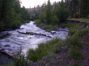
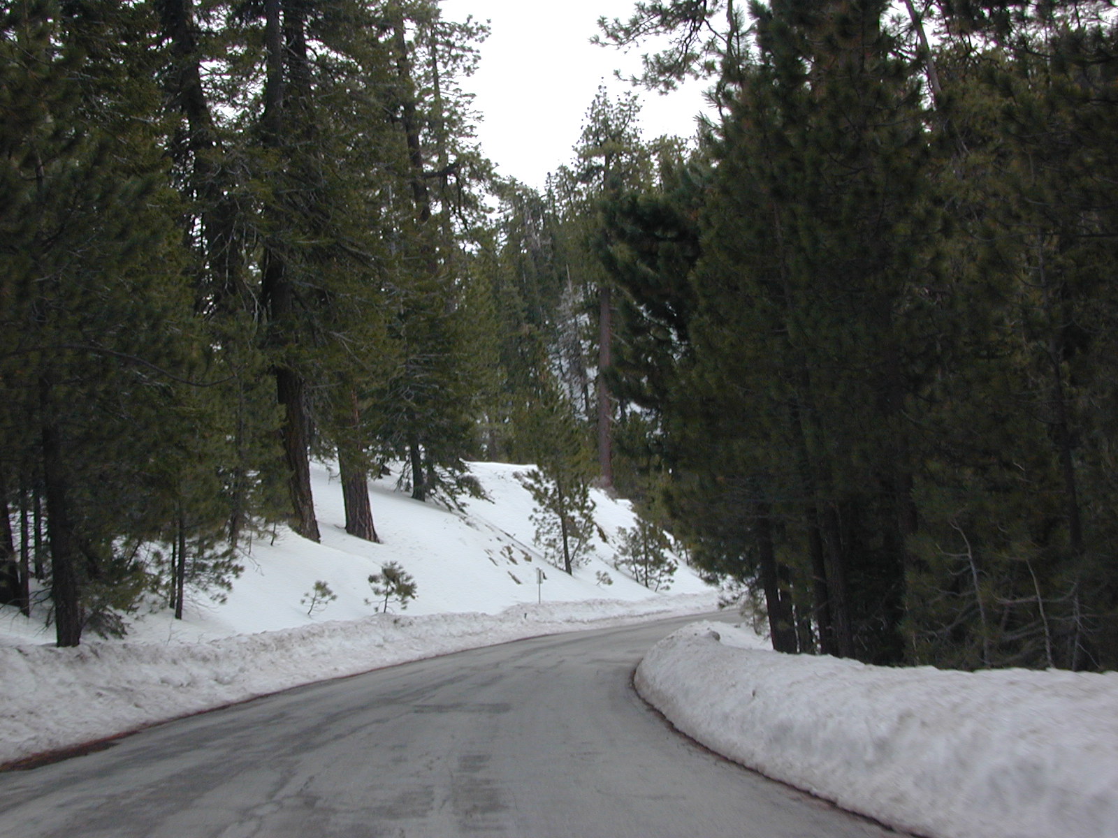
A small developed campground along forested Highway 89, with raging creek, fishing spots, and hiking trails and mountain biking trails nearby. Paved, level camp sites, small RVs okay w/ access to the numerous Sierra Nevada destinations with several lakes and reservoirs nearby.
This is a popular overnight stop “in route” for many campers and bikers traveling further on to the Northern Sierra Nevada mountains. You can exit off Interstate 80 @ Truckee, and be at this camp in minutes. Car camp, tent camping, a few spaces for small motorhomes. Plenty hiking and mountain biking trails.
Cold Creek Campground, California
on the Cold Stream;
Campground open May-October
(depending on snow)
High Sierra / Tahoe Truckee Camping
13 camp sites on Cold Stream @ 5800′ elevation; vault toilets, river and piped water, bear boxes; first come, first served camping
Max Camper Length: 22′
Rangers Office: 530-265-4531
The highway traffic noise makes this place a ‘short and sweet’ one nighter top pick, great for those camping in route to another destination. Another developed camp is on the opposite side of the highway, less than a mile north called Cottonwood Campground.
Free Camping nearby.
If you are seeking primitive camping near this area, start with Little Truckee Summit at the lakes turn off road on SR 89 – about 2 miles south of the Cold Creek Campground.
Take Tahoe Forest Road #5, a major paved road, approximately 12 miles back to the big meadows. Look for the unsigned dirt roads on left side of road nearing Webber Lake. The largest lake in the region, Independence Lake, is a paved side route off to the south. Further back on Road #5 the pavement ends at Jackson Meadows Reservoir. Very rough rocky road out to Bowman Lake w/ several developed campgrounds in the vicinity.
Tahoe trailheads lead out to –
alpine fishing lakes
mountain peaks
Treasure Mountain 7085′ Tahoe National Forest
OHV Area @ Prosser Reservoir
Tahoe and Truckee are known for their brutal winters and deep snows pack. Call CalTrans ahead of your departure if you are even slightly expecting any kind of precipitation. Truckee – winter road conditions


 bike
bike