Moab UTAH
Red Rock Country is Outdoor Heaven
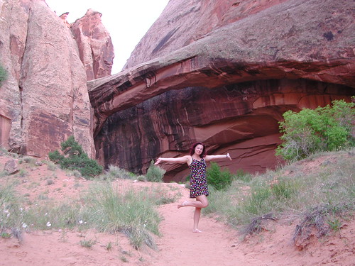
If there is one way to get the Total Escape crew outta California, it will be with the enticing red rock landscapes of Utah. The amazing spanse of colorful desert is enough to inspire any nature lover down to their soul.
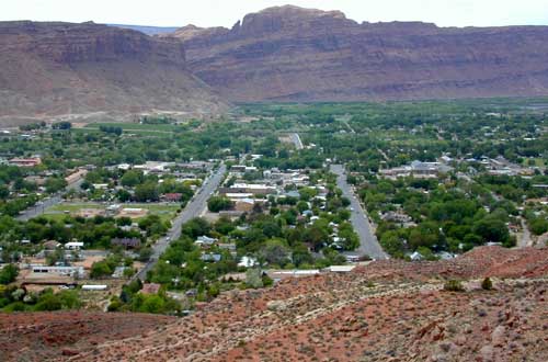
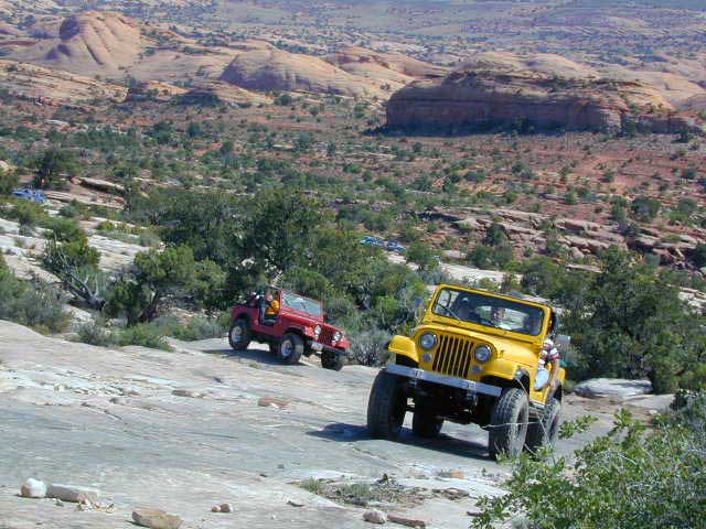
Moab, Utah was a sleepy little, rural town until about the 1980’s when the Jeeps took over. Numerous, annual off road events, plus the rise of mountain biking, new hotel development in town, and sheer “word of mouth” made Moab what it is today – a bustling, busy, tourist village with restaurants, brewery, and lodging.
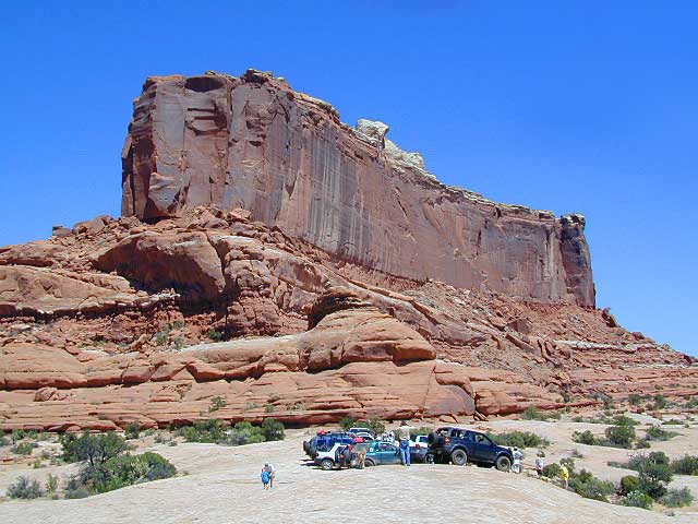
Off Road Mecca of Moab UT
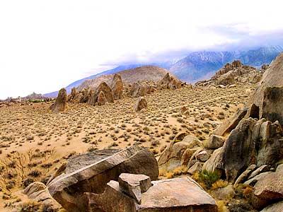
 Desert
terrain: high desert canyons and mountain peaks
elevation: 4000′
population: 5,253
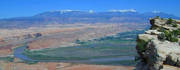
terrain: High elevation red rock desert paradise. A deep river valley surrounded by snow capped peaks & red rock grandure.
location:
South Eastern Utah
Grand County
south of Interstate 70 on Hwy. 191
description: This locale has boomed in the last few decades with a determined focus on outdoor activities. The town is a recreation mecca set in the vast beautiful desert of southwestern Utah.
Amazingly scenic spot set in red rock landscapes along rivers – with abundant outdoor recreation around every corner. Snow capped mountains are a scenic backdrop for more than half the year.

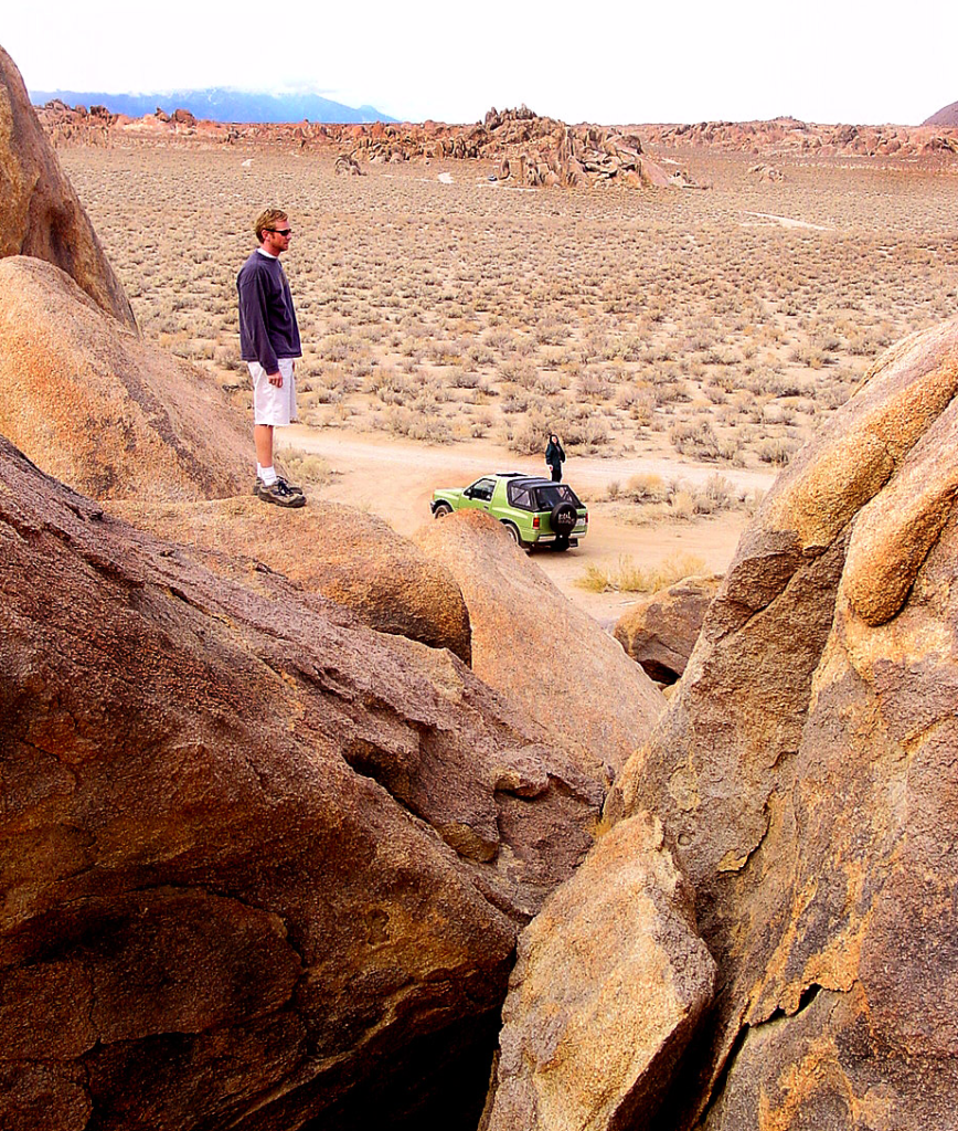
4WD – 4×4
area activities:
- off-roading
- rock crawling
- mountain biking
- dirt biking
- rock climbing
- river rafting
- shops in village
- restaurants
- river kayaking
- hiking
- camping
- picnics

local links:
Moab Area Chamber of Commerce
805 North Main Street
Moab, Utah
435-259-7814
Parks, Rivers and Forests
surrounding Moab Valley, Utah
-
- Arches National Park
- Canyonlands National Park
- Dead Horse Point State Park
- Manti La Sal National Forest
- Colorado River
- Green River
- BLM – Bureau of Land Management Moab

Tourism & outdoor recreation is very popular in this region, as well as retirees, relaxing and really nice rigs. But the Mormons & ranchers are still out there, so pay attention to private property signs.

Snow is common October – April
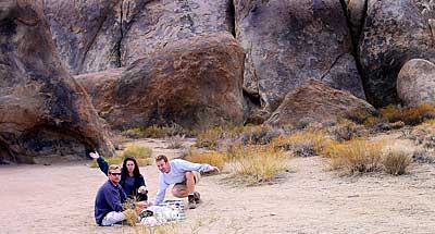
There is plenty land for solitude, just make sure to keep the peace. Don’t be honking at any cattle in the roadway. Stressed out city folks will soon be put in their place out in these parts. It is best to plan a full week vacation to thoroughly enjoy this awesome red rock location.
Moab Area Maps


Best Hikes in Moab:

Moab Mountain Biking Trails

Try this adventure: Drive from Saint George to Moab — on almost all dirt roads! No traffic lights for 5 full days. Weaving in & out of all the National Park & National Forest lands is an experience of a lifetime. Plenty of great dispersed camping – everywhere.
![]() see our 150 Utah photos on Flickr
see our 150 Utah photos on Flickr
 May through October is the best months to try this road trip, but be aware that there is a monsoon season here: Thunderstorms and flash floods are possible late summer into autumn.