A top high elevation fishing destination in the Eastern Sierra, California
Eastern Sierra Lakes – US Hwy 395
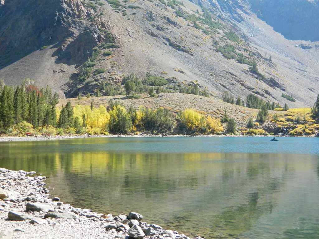
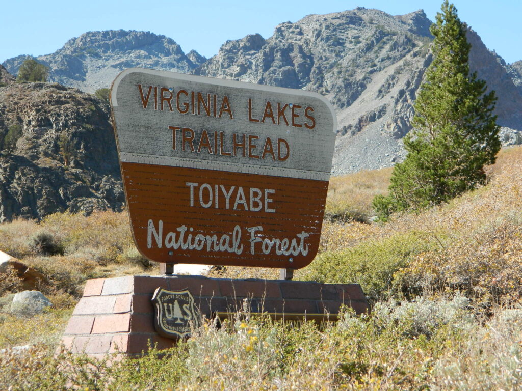
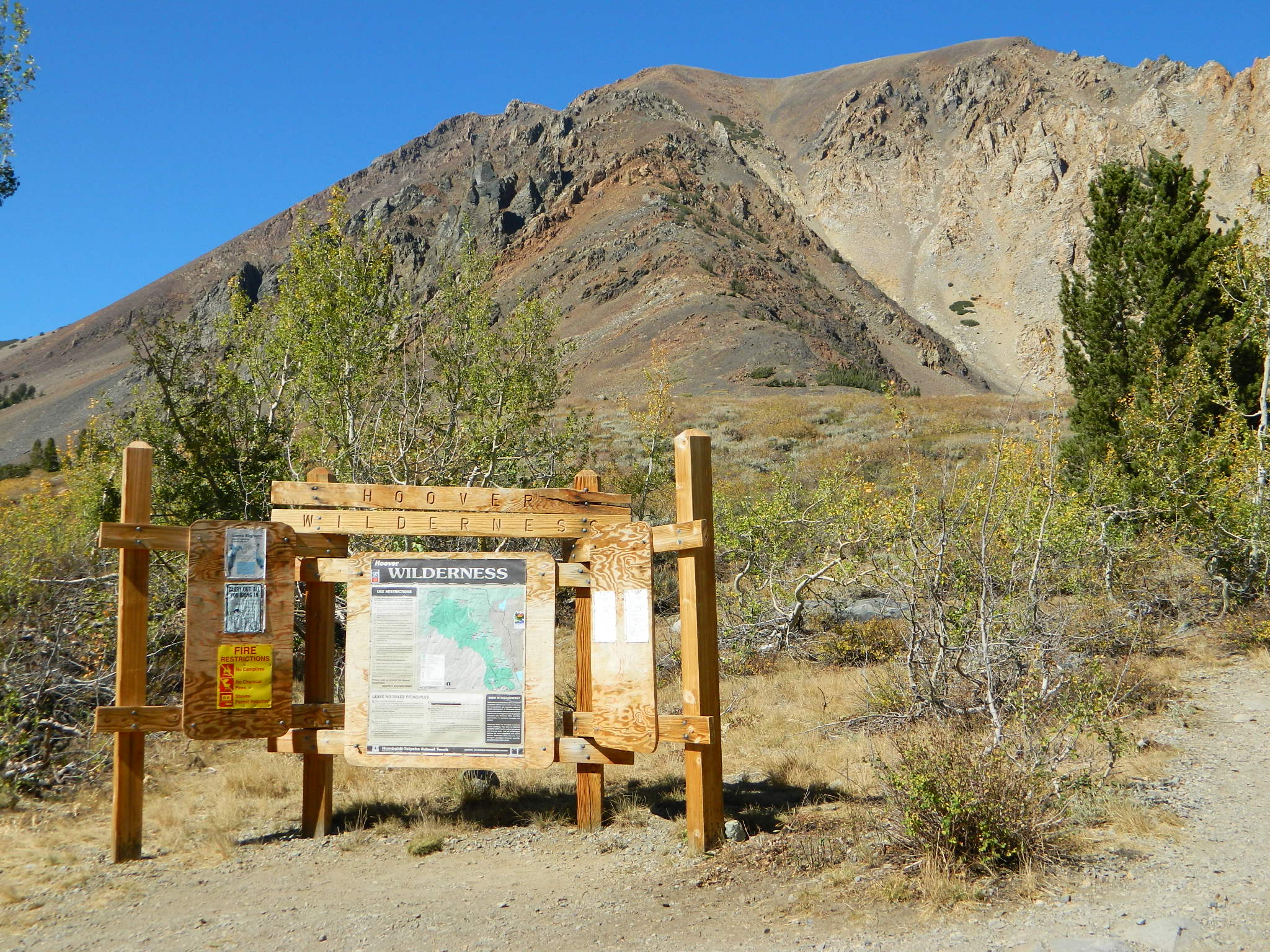
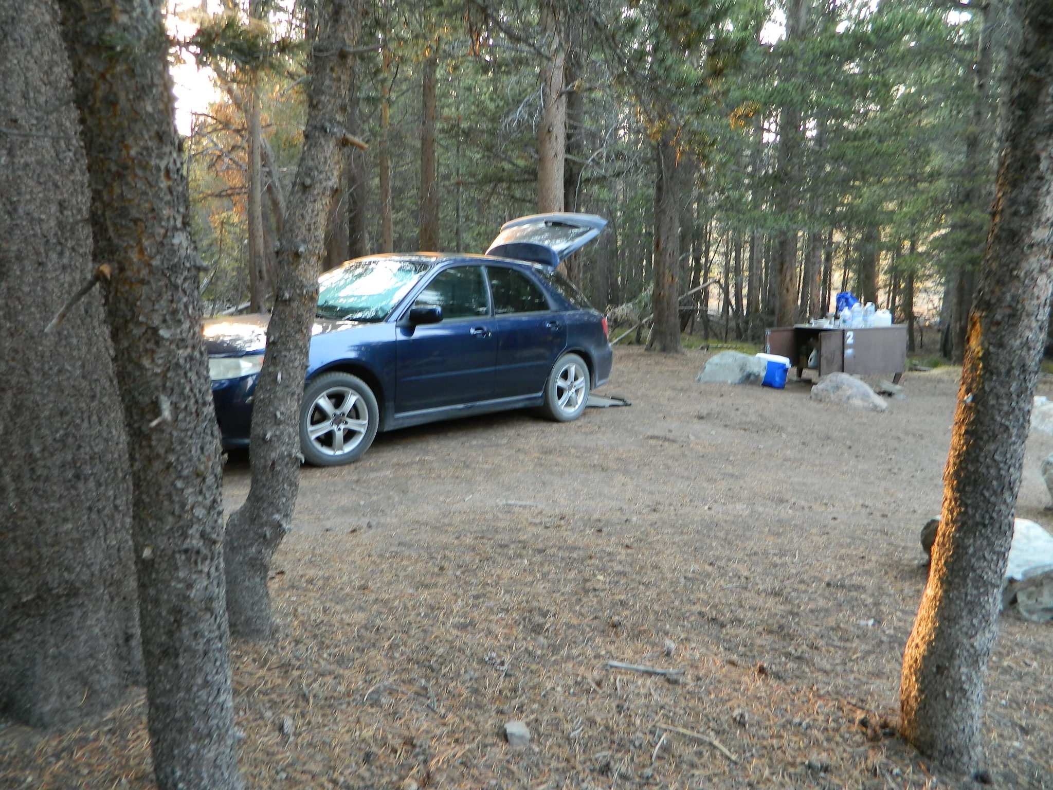
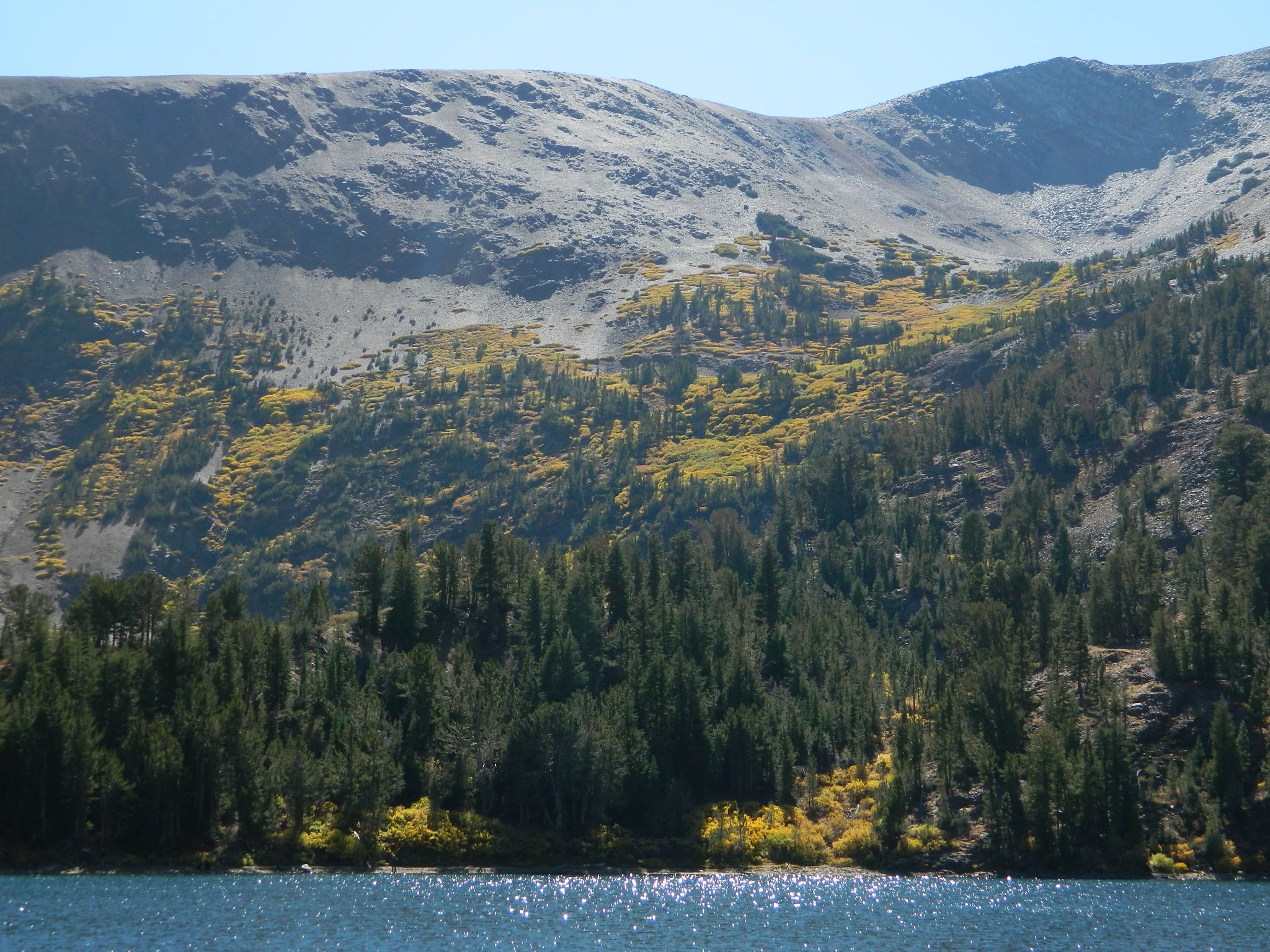
A grouping of small lakes on the Eastern slopes of the Sierra Nevada mountains near Bridgeport, California. Camping & fishing are the main attractions here, along with a high elevation trailhead. Awesome back country access for the backpackers who love hiking the Hoover Mountain Wilderness.
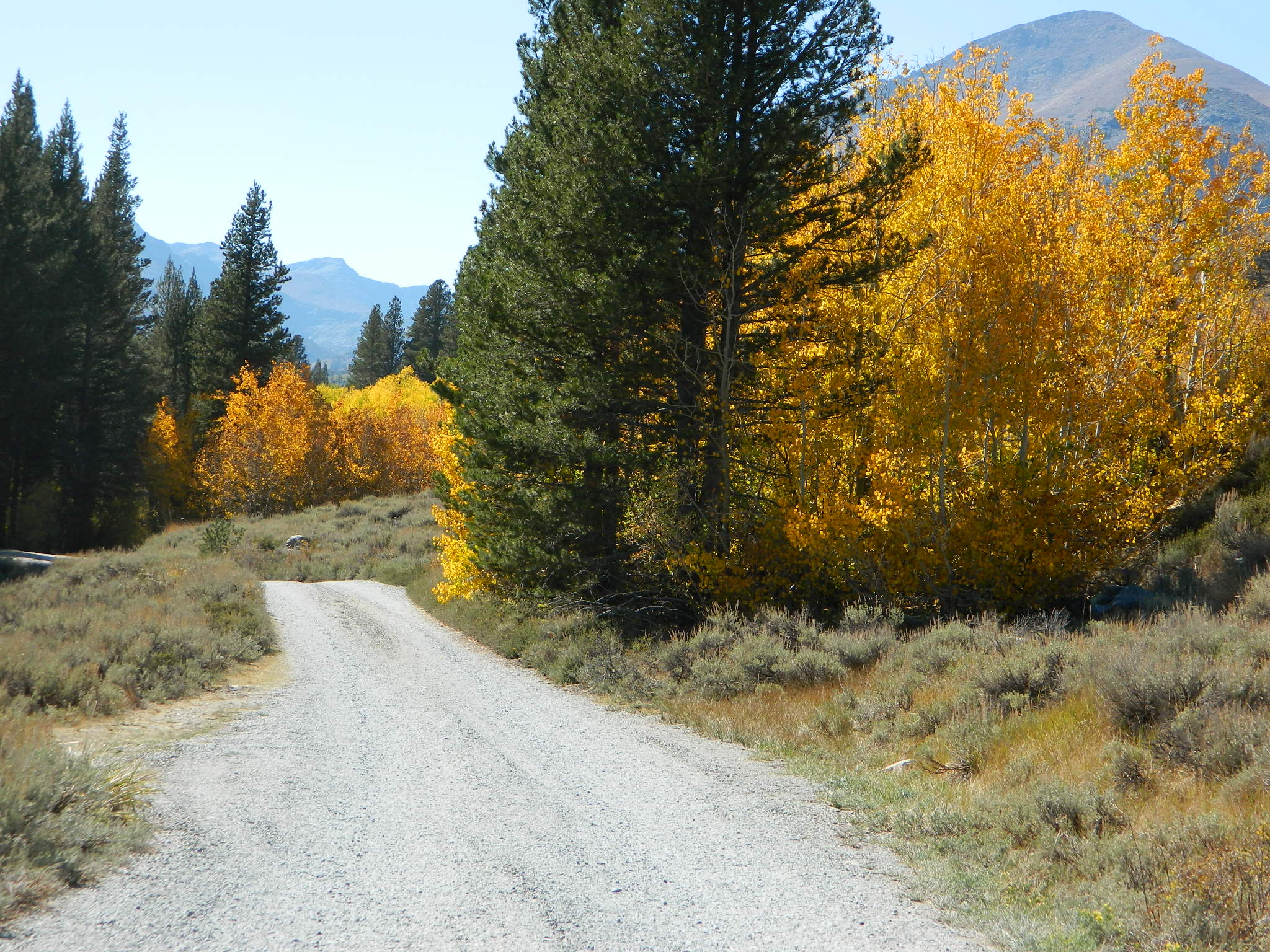
Aspen trees turn golden colors as freezing temps lower in Autumn, and can be breathtaking in October. Sometimes the window of opportunity is very short, as the first snow of the season usually falls at the same time of year.
Kings River California Sierra Nevada Kings Canyon National Park
Kings River is the longest river in the Sierra Nevada mountains, spanning a 70+ miles of terrain from edge of the Eastern Sierra to the western Sierra foothill reservoirs, and down to the agricultural San Joaquin Valley @ Fresno, CA
Classification/Mileage: Wild — 65.5 miles
Recreational — 15.5 miles
Total — 81.0 miles
The 272-mile long Kings River drops sharply in elevation from its headwaters high in the Sierra Nevada Mountain Range on its way to the Central Valley, flowing just south-east of Fresno. The dramatic descent generates electric power for dams and the river also helps irrigate cropland and provides fresh water to Central Valley communities.
Sierra Nevada / Central California
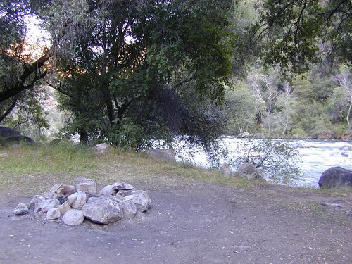
Kings is the mighty river of the whole Sierra Nevada mountain range. Deep granite gorge, wild and dangerous, longest running river with abundant waterfalls, tributaries and runs along side a giant cavern too. The giant, rocky canyon for this big river is so impressive, that the created a National Park around it. Hence the name, Kings Canyon!
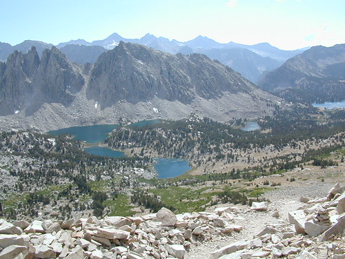
The snow melt starts way up in the high elevation back country near the tiny alpine lakes at Kearsarge Pass and the tallest peaks of Mount Whitney. The Kings River passes thru Kings Canyon National Park and spills out into the large Pine Flat Reservoir, on the western edge of the wilderness. The river continues down to the great California Central Valley to sloughs & irrigation canals for the big agriculture crops, which feed the world.
Headwaters to the Kings: features along the river, listed by fork
South Fork Kings River
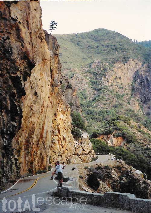
South Fork is the most accessible part of the river inside the National Park. Well known and deepest part of the granite Kings Canyon, where Highway 180 dead ends
Although the South Fork waters begin as snow melt on top of the Inyo peaks of the High Sierra. About 20 miles NE of Cedar Grove (as the crow flies) and 33 miles by foot / trail
Mount Prater
Split Mountain
PCT @ John Muir Wilderness
Cardinal Lake
Bench Lake
Vennacher Needle
Mount Ruskin
Mannon Peak
State Peak
Arrow Peak
Dougherty Peak
Kid Creek
Arrow Creek
Kid Peak
Gardiner Creek
Glacier Creek
Glacier Monument
Bubbs Creek
Avalanche Creek Mist Falls
Buck Peak Bailey Bridge (footbridge) Kanawyers
Zumwalt Meadows Trailhead
Granite Creek
Paved Loop Parking Lot Highway 180 Roaring River Falls Cedar Grove (NPS campgrounds) Cedar Grove Overlook
Avalanch Peak
Hotel Creek Lewis Creek Deer Cove Creek
Grizzly Creek
Boulder Creek Windy Gulch Cascade Boyden Cavern
Lockwood Creek
>> JCT w/ MID FORK <<<<
Middle Fork Kings River
Middle Fork begins at the alpine levels near
Helen Lake the Pacific Crest Trail
Langille Peak
Meadows near Dusy Basin Trail junction
The Citadel
Palisade Creek
Rambaud Creek
Cartridge Creek
Great Cliffs
Goddard Creek
Horseshoe Creek
Simpson Meadow
Ranger Station (backcountry)
Dougherty Creek
Slide Creek
Dog Creek
Alpine Creek
Blue Canyon (4600′ elev)
Crystal Creek
Painted Rock
Gorge of Despiar
Tehipite Switchbacks
Silver Creek
Monacrch Wilderness
Wren Creek
Tombstone Creek
Brush Canyon
Deer Canyon
>> JCT w/ South Fork <<<<
Kings Canyon 1992
Highway 180 has a paved viewpoint overlook for this impressive, deep granite gorge with rivers intersecting. At this confluence of the Middle & South fork, we pick up with notable spots heading west.
Tenmile Creek
Rough Creek
Garlic Meadow Creek
Kings River NRT
Spring Creek
Converse Creek
Fox Canyon 1500′ elev
Verplank Creek
Garnet Dike
Mill Flat Creek
Trimmer Springs Road
Mill Flat Campground
Helms Creek connects Courtright Reservoir to Wishon. However, the official North Fork of Kings River begins below Wishon Reservoir and its gigantic granite gorge.
Rancheria Creek
Teakettle Creek
Mule Creek Black Rock Reservoir
Patterson Creek
Basin Creek
Dinkey Creek
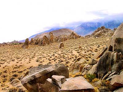
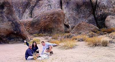
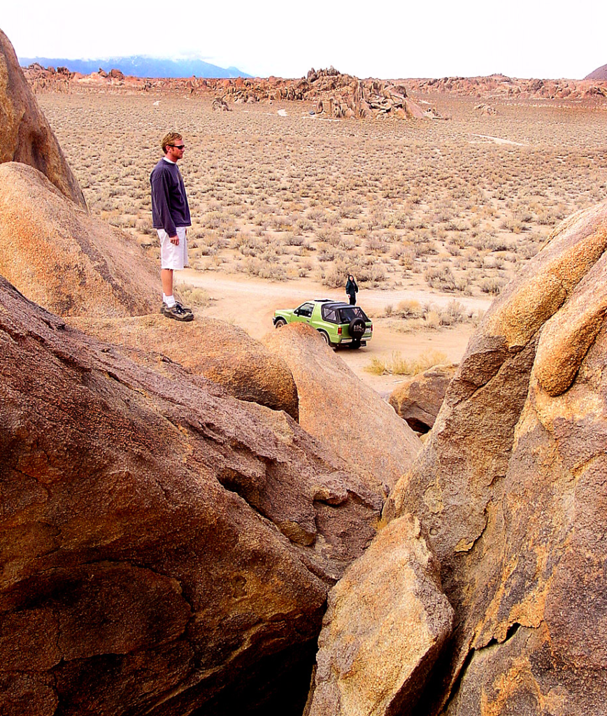
A nice surprise for visitors to Mount Whitney region when they happen upon the Alabama Hills. The cool boulder field lies at the base of the eastern Sierra Nevada mountain range – next to the town of Lone Pine, on the way up to Whitney Portal.
The infamous area features a drive named “Movie Road” – with historical spots for filming old westerns & cowboy movies. Plenty of television commercials & videos have been filmed here as well. Relatively close to Los Angeles and SoCal.
high desert: elevation 5354′
From the Mojave desert, take Hwy.395 North to the small town of Lone Pine . At the only traffic light in town; turn left up Mt Whitney Portal Road; continue up to boulders. MOVIE ROAD, right turn to start exploring. Mant graded dirt roads and areas to park vehicles.