Tag Archives: foothills

Stanislaus River California

stanislaus
Stanislaus River, Sonora Pass

Stanislaus River

Central Sierra Nevada Mountains
Sonora Pass CA 108 / Ebbetts Pass CA 4
Stanislaus National Forest

The Sierra Nevada mountain route that usually closes first and opens last, due to snow and rock slides . Sonora Pass snow is epic, but often unaccessible most of the year. Snow melt can be slow and this route may not open by until mid-summer. (Quite typical on this highway). Check Cal Trans Hwy Reports. Summer and early Autumn is the time to visit this region, so plan accordingly.

Stanislaus National Forest

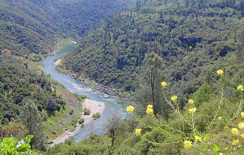
This Big Sierra River is so far reaching that it covers areas from two different Wilderness Areas and two Sierra highway systems: Sonora Pass 108 & Ebbetts Pass Hwy 4.

The North Fork of Stanislaus River starts up at Highland Creek (below Highland Lakes) and parallels the Ebbetts Pass pavement westward down the mountain. Numerous lakes and parks along this steep northern fork, all lined with impressive granite rock. Spicer Reservoir, Elephant Rock, Summit LakeCalaveras Big Trees State Park and Stanislaus National Forest.

Middle Fork of Stanislaus River, overview

  • Clark Fork flowing from the Dardanelles in Carson Peak Wilderness, become the Middle Fork of the Stanislaus River. Numerous Campgrounds, RV camps, horse camps along Clark Fork Road. California Highway 108 may still have  a real old fashioned pay phone at this intersection. Go look.
  • Kennedy Creek comes in from the south side of the highway and creates Kennedy Meadows, a horse packing ranch; Not to be confused with the Kern Kennedy Meadows, way down south.
  • Eagle Creek and Kennedy, plus the Clark Fork are the main headwaters to Stanislaus River making up the Middle fork of this river. Traveling southwest thru the forest, with numerous Reservoirs and plenty of campgrounds.

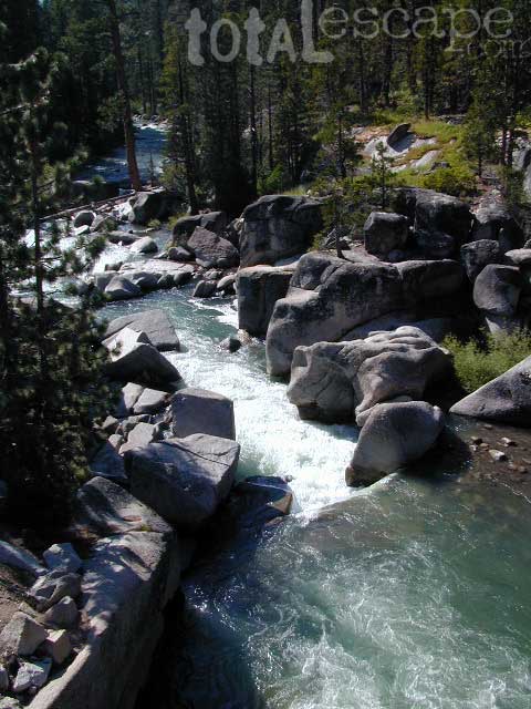
Middle Fork comes together near the Fence Creek Campground @ Hwy 108. Flowing downhill to join Donnell Lake, then 10 miles of ‘really rugged wild river’ down to Beardsley Lake, then to Sand Bar Flat Campground further below, and on towards the county line @ Calaveras.

South Fork Stanislaus, the shortest of the forks, flows down from Pinecrest Lake, Dodge Ridge Ski Resort and the Emigrant Wilderness Area. Then hits Lyons Reservoir (4228′ elev) near the community of Long Barn, CA Italian Bar brings it right down to Historical Gold Camp, Columbia.

Eventually the massive Stanislaus River ends up in the San Joaquin (Central) Valley, like most of the Western Sierra rivers do, growing the food crops for all. California is a huge agriculture state.
volcanomdws
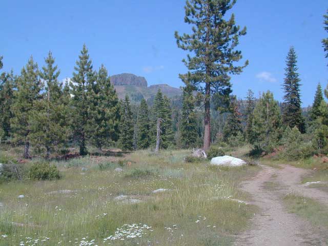
Volcanic Dardanelles

Backpacking Big Wilderness 

With Wilderness making up the majority of the landscape around these river canyons , there is ample opportunity for day hiking, creek fishing and backpacking adventures. May as well plan for a full week off of work, if you wanna explore in some depth. Many trailheads have small parking lots located on dirt roads, which are usually passenger car accessible.

Carson Iceberg Wilderness
Emigrant Wilderness

pctPCT = The Pacific Crest hiking trail cuts right across the tallest Sierra Nevada mountain pass – Sonora Pass 108 @ 9625′ elev.

Black Bears are common in this region and several areas have bear boxes for proper food storage. If not available, you’ll need a bear canister or learn to properly hang your food in a tree.

Winter closures due to deep snow is common more than half the year up here. Check Cal Trans for highway conditions and w/ local rangers to find out what back roads are open, and which ones are too muddy. 4WD may be needed to reach certain destinations, if snow & mud are still present. Winter SNOW CAN LAST UP HERE: on the peaks all summer long; And snow can start falling as early as October, so know the forecast before you set out on a major backcountry trip.

Wilderness permits are required for overnight stays in the backcountry. Stop by a ranger station to get the latest details before your big trek into the woods. USFS web sites are not always so up-to-date. A phone call or personal visit may be needed to get accurate info.

hikerHiking Trailheads:

PCT Sonora Pass
Seven Pines
Kennedy Meadows
Columns of the Giants
Clarks Fork
Iceberg Meadow
Donnell Vista Point
Wheats Meadow
County Line
Bummers Flat
Sand Bar Flat

Stanislaus Ranger Stations ranger

Stanislaus Forest Headquarters
19777 Greenley Road
Gold Country @ Hwy 49
Sonora, CA 95370
209-532-3671ranger

Summit Ranger District
#1 Pinecrest Lake Road
Highway 108 (Sonora Pass)
Pinecrest, CA 95364
209-965-3434

Calaveras Ranger District
5519 Highway 4 (Ebbetts Pass)
Hathaway Pines, CA 95233
209-795-1381

USFS @ Highway 4
Mi-Wuk Village, CA
[CLOSED to PUBLIC]
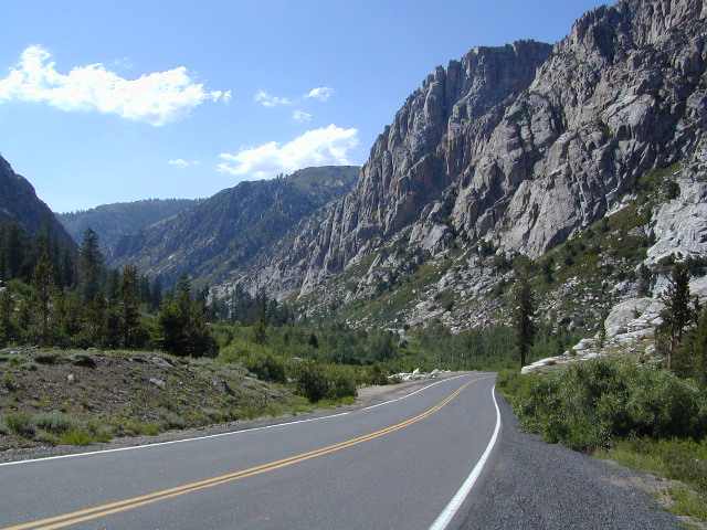
SonoraHwy
Massive Granite, California Hwy 108 – West Sonora Pass

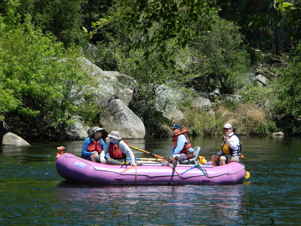
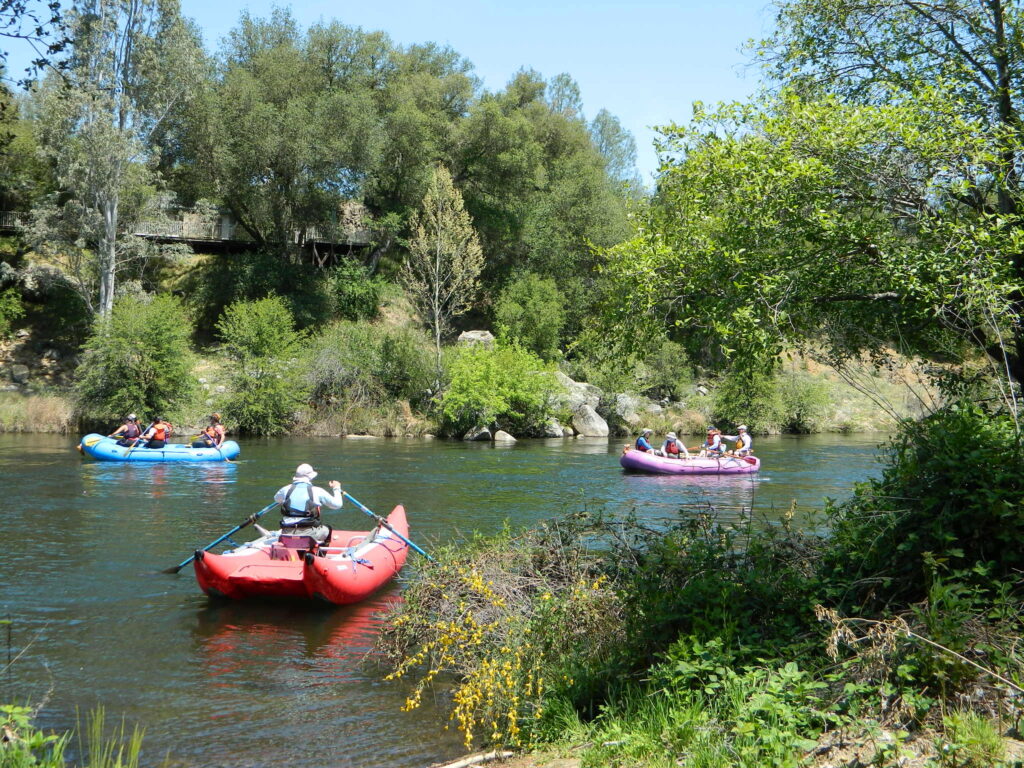
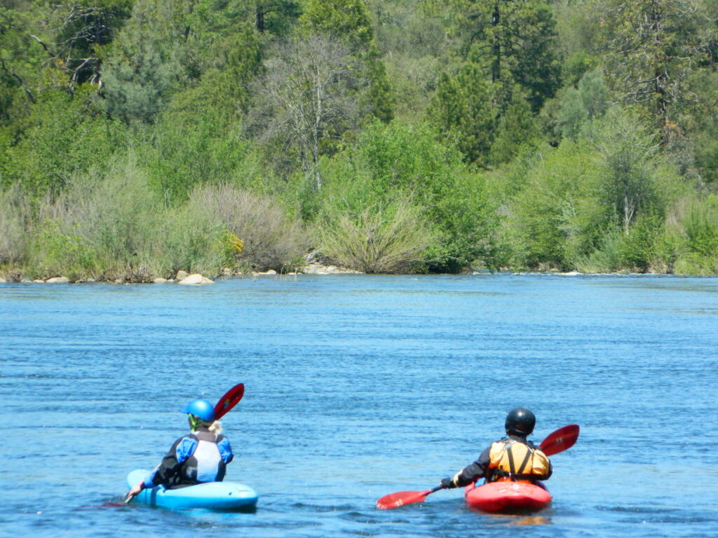
River Rafting on the Stanislaus River
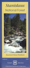
Sierra
Stanislaus Map

Outdoor Recreation:

  • Backpacking
  • Boating
  • Camping
  • Fishing
  • Hiking
  • Hunting
  • Kayaking
  • Mountaineering
  • Off-Roading
  • River Rafting
  • Rock Climbing
  • Snow Skiing
  • Stargazingsnow
  • Wilderness
  • Wildflowers

Forest & Parks along this River:

icebergmdw
Horse Camping @ Iceberg Meadow, Clark’s Fork

Sierra Mountain Lodging

lodge

Sonora, CA
Twain Harte
Pinecrest
Dardanelle
Lake Alpine
Arnold, CA
Murphys, CA
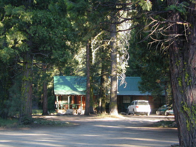
Motel Rooms
Motel Rooms @ Dardanelle, CA

Best CampsBest Camps are always on the Back Roads
USFS

NFS Campgrounds along this River 

North fork of Stanislaus

Highland Lakes Campground
Sour Grass Campground
Spicer Reservoir Campground

Middle Fork of Stanislaus

campBoulder Flat Campground
Brighten Flat Campground
Dardanelle Campground
Pigeon Flat Campground
Eureka Valley Campground
Baker Campground
Deadman Campground
Clark Fork Horse Camp
Clark Fork Campground
Fence Creek Campground
Sand Flat Campground
Cascade Creek Campground
Sand Bar Flat Campground

South Fork of Stanislaus

Fraser Flat Campground
Pinecrest Lake Campground
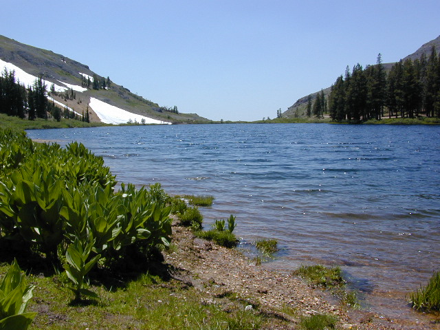
Highland Lake
Highland Lakes

Dispersed Camping Mid-Sierra

The Wilderness boundaries on each side of the pavement (CA 108) along with giant granite walls, steep cliffs, boulders, wild raging rivers and dense forests make dirt road accessibility somewhat limited along the Sonora Pass Highway. Ebbetts (CA 4) has more dirt road accessibility, especially beyond Beardsley Lake.

County Line Road #6N06 will take you past a developed NFS Camp called Fence Creek  Campground. The dirt road climbs into the forest meadows, with 2 trailheads to be found within a few miles.  Horse Corral at Wheats Meadow. Numerous primitive campsites for backpackers, car campers, horse campers. Lush meadows, hidden forests, boulder outcroppings, dead end roads.

Back behind Pinecrest Lake & Dodge Ridge Ski are several dirt road loops w/ primitive camping at
Bell Meadow 
Crabtree

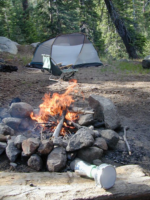
campfireCampfire permits are Required for camping outside of developed NFS campgrounds. Obtain a free campfire permit before you build a fire. Have a bucket and shovel at camp, always; attend the fire at all times.

Levitt Lake @ 9556′ elev, on the eastern slope of Sonora Pass has rocky road to wonderful scenery. Mid summer snow melt, so bring the good jacket – even in summer. High elevation camping, hiking, kayaking; rock scrambling at tree line. This alpine lake best reached with high clearance vehicle.

camptruck

Union, Utica, and Spicer Reservoirs have a few dirt roads to explore off Spicer Rd #7N01, with abundant trails for hiking and mountain biking.  Tons of firewood, free for the cutting. Bring your saw!

Kayaking and canoeing are popular at both Union and Utica. Dirt road access. No motors on lake. FREE LAKE CAMP: Shoreline camping is possible, but summer crowds  – can get downright insane. Nothing like a traffic jam in the middle of nowhere. Big families camping out all week long w/ all their toys, tents, multiple vehicles. Try to visit in the off-season for the best experience at these 2 lovely lakes. Spicer has developed campgrounds w/ fees, but has real boat ramps and can also  accommodate RV campers.
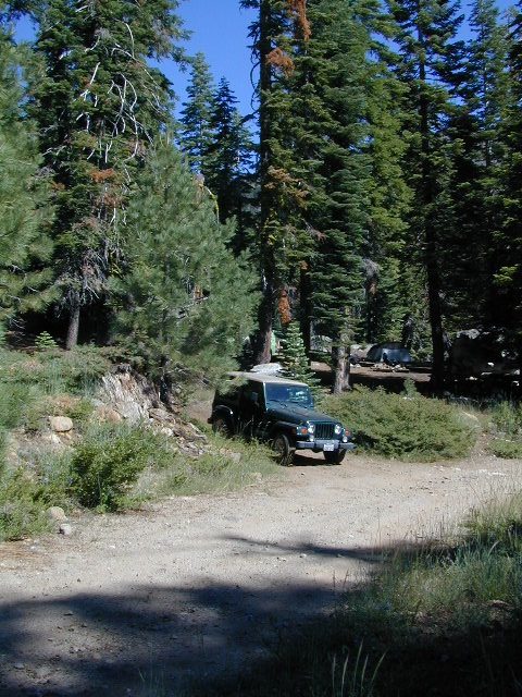
Jeep Roads Sierra

OHV Trails Stanislaus 

4x44×4 camps and dirt bike trails can be found at Niagra Creek, on the south side of Highway 108, before Clarks Fork.

Union Reservoir has a popular 4WD trail that connects up to Lake Alpine @ Ebbetts Pass.

BACK ROADS TIP
Regular dirt roads can become “4WD needed” with any decent amount of snow or heavy rains, especially on the steeper sections. Remember: No guard rails on the dirt roads. If you plan to camp ‘way back in there, in  the boonies’ – make sure you know the weather forecast and have a vehicle that can get out; no matter how sloppy the road gets. Thunderstorms are possible. Snow is 75% of the year.
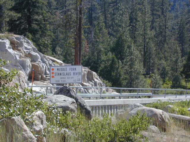
BridgeSonora

Towns along Stanislaus River:

RV

StanislausTopoAtlas
Stanislaus Topo Atlas

Maps on Stanislaus:

Stanislaus National Forest Map USDA
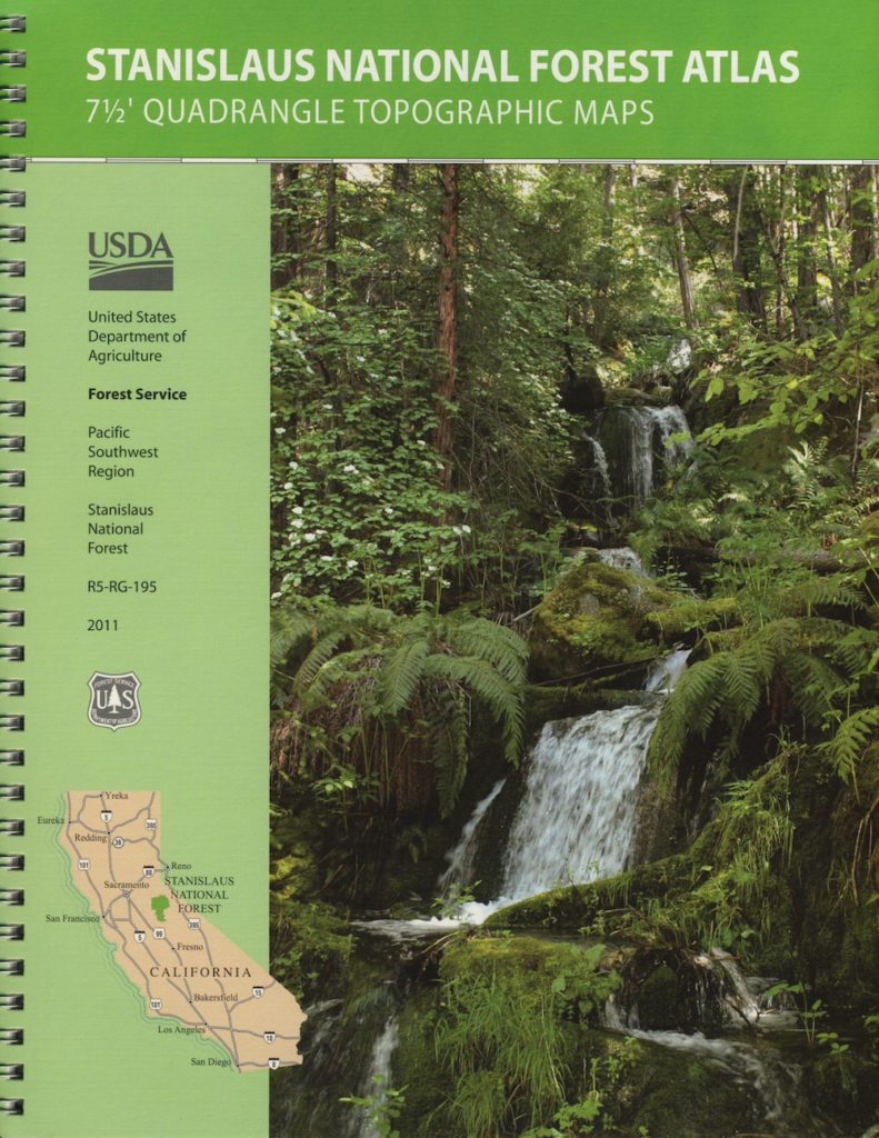
Stanislaus Topo Atlas USDA
Carson Iceberg Wilderness Map USDA
Carson Emigrant NatGeo Map
Emigrant Wilderness Maps
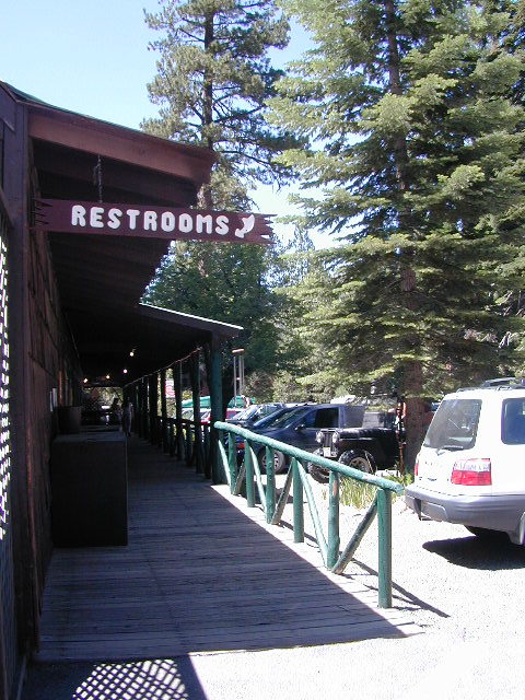
Restrooms
Restrooms w/ Showers @ Dardanelle, CA

Links about Stanislaus River:

USFS – North Fork Stanislaus RiverUS Army Corp of Engineers: Stanislaus River Parks
Stanislaus River Salmon Festival
Lower Stanislaus River Fly Fishing

Stanislaus River Rafting
Stanislaus River – Class 3 Rapids @ Camp 9
DFG – Stanislaus River Report
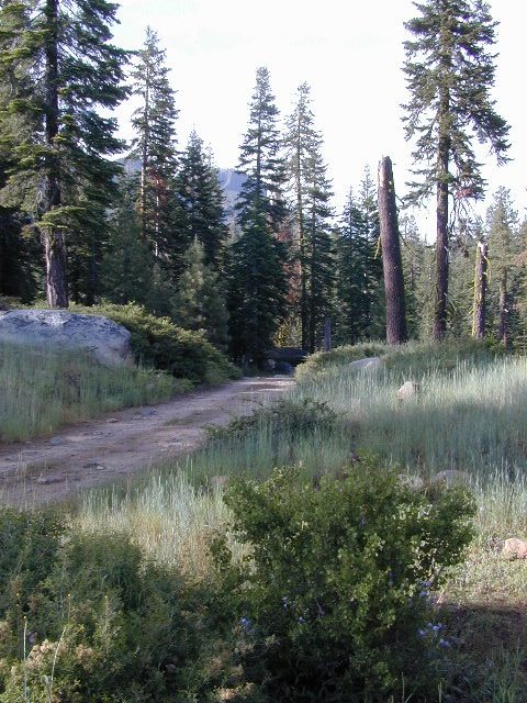
Sonora Back Roads
Sonora Back Roads


American River California

american 1

American River, Central Sierra Nevada

Donner Pass – Gold Country California
El Dorado National Forest
Folsom Lake, Sacramento, CA

This is a major river in the Sierra Nevada landscape, as well as in the Gold Rush history of California. Many mining camps, railways, old abandon mines, dirt roads, hiking trails, mountain biking routes, waterfalls and even ancient artifacts can be found on the back roads. The native tribes once heavily populated these river canyons since the location is ideal, half way between the big mountains and the sunny warm valley.

snowNorth fork of American River drains most of the Donner Pass region, all along Interstate 80. Indian Creek is a feeder stream coming from Sugar Pine Reservoir. No large reservoirs exist along this American North Fork, although there is a wide section of the river, above Auburn, called the North Fork Lake.

Middle fork of American River comes down from the Granite Cheif Wilderness, next to Lake Tahoe; Foresthill (3225′ elev) is a small mountain community w/ a ranger station; French Meadows Reservoir is way back in there, toward the highest peaks @ 9000′ elevation.

South fork of American River parallels the State Highway 50, which connects Placerville to Lake Tahoe via the Kyburz Pass. Union Valley Reservoir and Ice House Reservoir make up this part of the drainage for abundant snow melt.

The north and middle flows of this river join in Auburn, near the freway @ I-80. The south fork joins the rest downhill in the Central Valley, at Folsom Lake, NW of Sacramento, CA

rapids: turbulent, fast moving water

canoe

River Rafting on the American River

This is a rapid moving river, with serious force. Not to be taken lightly. Wear life vest and stay alive; Don’t swim in dangerous conditions and spare your life!

Go whitewater river rafting with experienced leaders, who offer professional guide rafting tours. Always wear a life vest in the water. Toying around with an inflatable cheap raft on a big river, can leads to all kinds of trouble.

rafting

American River south fork James W. Marshall discovered gold in January of 1848 on the South Fork of the American River

  • backpackfish
  • camp
  • fish
  • hike
  • kayak
  • mountain bike
  • museums
  • off-road
  • raft
  • swim

Numerous feeder creeks and rivers drain into American River:

  • Indian Creek
  • Owl Creek
  • Pilot Creek
  • Rubicon River
  • Secret Ravine
  • Silver Creek (flows to south fork)
  • Silver Fork of the American River (flows to north fork)

camp

Camping & Campgrounds on the American River

south fork (CA Hwy 49 & US Hwy 50)

middle fork (CA Hwy 49)

north fork (CA Hwy 49 & I-80)

hiker

americanriverabove

Auburn Lodging near the American River with numerous unique overnight options closeby. Colfax, the rail-town up the interstate, also has small motels and inns, most are freeway close. Foresthill is a residential area near the Middle Fork of the American River. Placerville, on the South Fork has more hotel choices. See more on Historic Gold Country


rafters

Towns along American River:

kayaking


California Towns by Population

Small Towns in California,
Listed by Population

Seeking to explore more of California:
Outside more, Inside less.

CaliforniaRural reaches of rivers, mountains, high and low deserts. Find a new town in Northern California or in the Sierra foothills. Discover a new place for local vacations, or go all out and get a new job, in a new town.
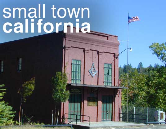
Relocating, outside of a big city – for a life style change,  more nature, less people, less traffic. Real living life outdoors, walking to the market, growing some food, and enjoying a forced, early retirement.

Most populated state in US = California

smalltownCA

Most of the towns listed below are NOT located in the popular San Francisco Bay Area, nor the massive hot and smoggy Central Valley, nor in the over-crowded Southern California region.

cool town

Upscale villages, mountain hamlets and historic downtowns often have loads of attractions and eateries, yet unaffordable rentals and sky high residential real estate prices. We’ve purposely left out the super expensive and over-priced places like wine country, coastal enclaves and the typical touristy stops.
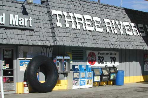
Many in this list are unheard-of farm towns, forest cabin communities, or river canyons – often neglected, minimal and unimproved. Some of these will not have a Wal-Mart in town, seldom a chain grocery store, nor a main street full of fast food restaurants. Although, they might be located next to a National Park, National Forest or State Park. Hike, bike, kayak and camp!

Backwoods, back roads and backcountry. Wildfires are often an annual threat. Higher in elevation means less smog and more stars. Altitude also means snow is quite possible, at least half the year.

If you moved to California to avoid snow, then skip a winter visit (DEC-APR) or find elevations below 3000 feet.

California

California Small Towns under 100 people

Aspendell
Belden
Blairsden
Bucks Lake
Butte Meadows
Darwin
Duncans Mills
Fish Camp
Hope Valley
Kennedy Meadows
LaPorte
Nipton
Randsburg
Twain
Twin Lakes

snow

California Small Towns under 500 people

Amador City
Angelus Oaks
Bear Valley
Benton
Camp Nelson
Caspar
Cazadero
Crescent Mills
Gazelle
Kirkwood
Knights Ferry
Lee Vining
Lemon Cove
Markleeville
Mill Creek
Mineral
Olancha
Paynes Creek
Petrolia
Ponderosa
Seide Valley
Stirling City
Valley Ford
Volcano

star

California Small Towns under 1000 people

Adin
Alleghany
Avery
Bass Lake
Bridgeport
Cedarville
Cobb
Dorrington
Dorris
Douglas City
Downieville
Elk Creek
Etna
Fall River Mills
Fawnskin
Forest Falls
Fort Jones
French Gulch
Gasquet
Gazelle
Happy Camp
Independence
Isleton
June Lake
Klamath
Leggett
Meadow Valley
Miranda
North San Juan
Oak Glen
Orleans
Philo
Pinecrest
Pioneertown
Plymouth
Point Arena
Ponderosa
Scotia
Shasta
Sierra City
Sierraville
Springville
Somerset
Taylorsville
Walker

pinetree

California Small Towns under 5000 people

Ahwahnee
Alturas
Angels Camp
Angwin
Arnold
Berry Creek
Big Pine
Bishop
Camino
Cayucos
Challenge
Chester
Colfax
Coloma
Columbia
Copperopolis
Coulterville
Covelo
Dunsmuir
Ferndale
Forestville
Frazier Park
Georgetown
Greenville
Guerneville
Hayfork
Jackson
Jamestown
Joshua Tree
Kelseyville
Kernville
Lake Almanor
Lake Isabella
Laytonville
Lewiston
Lone Pine
Lucerne
Mariposa
Meyers
McCloud
Mount Shasta
Murphys
Nevada City
North Fork
Oakhurst
Pine Cove
Pine Grove
Pine Mountain
Portola
Quincy
Redway
Running Springs
Santa Margarita
Shaver Lake
Shoshone
Sonora
Strawberry
Sutter Creek
Three Rivers
Tuolumne
Twain Harte
Upper Lake
Weaverville
Weed
Westwood
Willits
Willow Creek
Wofford Heights

oaktree

Small Cities under 10k population

Alta Sierra
Big Bear City
Big Bear Lake
Coarsegold
Colusa
Crescent City
Fort Bragg
Gridley
Groveland
Ione
King City
Lake Crowley
Mecca
Needles
Ojai
Orland
Williams
Willows
Winters
Woodlake
Yreka

hiker

Small Cities under 20k population

Alpine
Arcata
Arroyo Grande
Auburn
Baywood Park
Coalinga
Crestline
Desert Hot Springs
Garberville
Grass Valley
Lindsey
Live Oak
Los Osos
Morro Bay
Oroville
Placerville
Reedley
Red Bluff
Susanville
Tehachapi
Truckee
Ukiah

maindrag
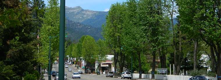
Weaverville, California

fish

Historic Courthouse
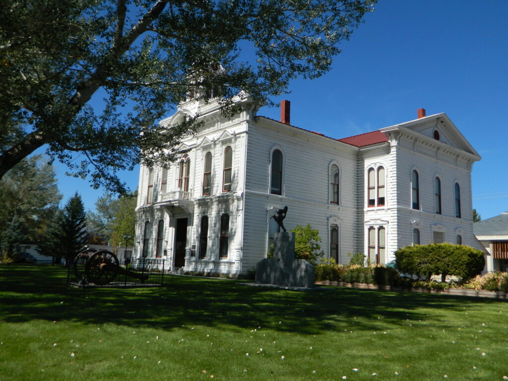
Historic Courthouse, Bridgeport, CA

dirtbikes
find rural counties inside Californiahorseback

Markleeville
Markleeville, CA

Salinas River

salinasriver

Coastal California

Foothills & Farmland

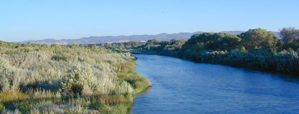
US Highway 101 cuts thru Salinas Valley & is home to the Salinas River. This area is rich in farming, and industry w/ some residential

Rolling hills with oak trees; cattle in every open field, fresh air and wide open vistas. River has no big campgrounds or city campgrounds, except for the seaside area, where the river hits the ocean @ Marina, CA

Central Coast California Wine Country

Paso Robles, Northern San Luis Obispo County –  is where the Salinas River begins & flows northbound along mountains and  highway – until it meets the Monterey Bay near Castroville, California.

  • dirt bike trailsdirtbikes
  • camping
  • farm stands
  • hiking trails
  • horseback trails
  • pinyon pine
  • oak foothills
  • mission
  • wilderness
Los Padres Monterey Map

This is a big valley river which drains agricultural land, so boating/kayaking is okay, but fishing/swimming – maybe not so great. This region grows huge amounts of produce, due to the inland coastal foothills near perfect climate. Pesticide runoffs can hardly be controlled. It’s in the well water, it’s in the irrigation channels, it’s everywhere – even inside your gut.

Anyhoo, there are several tourist sites, such as historical California missions & wineries in this region, along with Hollister Hills OHV Park. Be warned summer months can get very hot here.

Best time to visit SALINAS RIVER  is NOV-MAY, and in between winter storms, and June Gloom. NOTE: Flooding does occur in these lowlands.

horseback

Parks near Salinas River:hiker


Campgrounds near Salinas River:

coastal Monterey Bay –

inland @ King Citycamp

upstream Reservoirs –

    • Redondo Vista Campground (Lake San Antonio)
    • Harris Creek Campground (Lake San Antonio)
    • Lake Nacimiento Resort

This California Central Coast, mountains foothills river region is within Monterey County.

OAKS / CATTLE / FARMS / FREEWAY

Private property, ranch lands, farmland, and public land in the hills – National Forest, BLM, State Park, National Monuments, State Vehicular Recreation Area

Wildfires burn outta control in California, so campfire permits are only available during the wettest of years. Check with local ranger station in Kings City, CA

campfire

San Antonio River
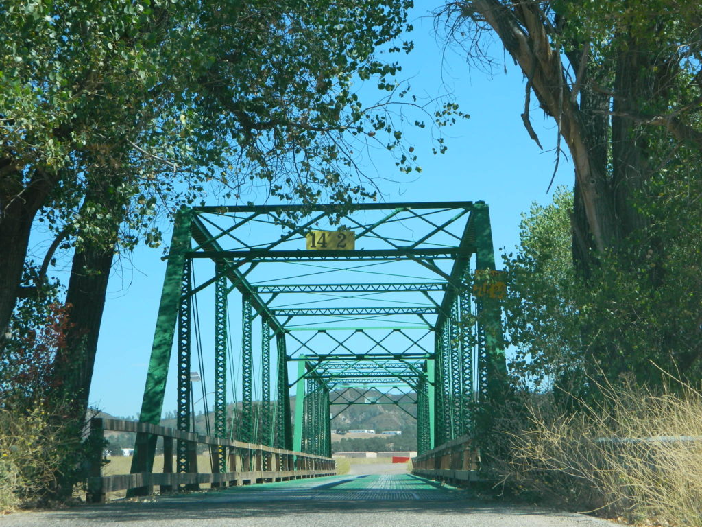
Green Bridge @ Nacimiento Rd, the back way into Big Sur. San Antonio River

Lakes near Salinas River:

fish

Towns along Salinas River:

Attractions near Salinas River:

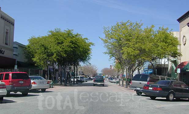
Downtown Salinas, CA
Downtown Salinas, California [circa 2002]

boatramp dog     picnic  canoeRV

Saline Valley Hot Springs
Maybe you were searching for a remote desert hot springs, called SALINE Valley? Halfway across the world? Nope, across California and the Sierra Nevada mountains.

Cool Small Towns Near Yosemite

cutesidewalk

WESTSIDE YOSEMITE

Rural, small mountain towns, close to Yosemite National Park. 

Everyone wants to live in Yosemite! It’s like a magical wonderland of nature. Maybe the happiest place in California. Once you’ve experienced the incredibly beautiful valley and the granite views of the National Park, your thoughts may go directly to ‘when can I visit again’ or perhaps- ‘is it possible to live near Yosemite?’

YES indeed, people do live near Yosemite.
Western foothills are under 5000′ elevation, so super deep snow is generally not a problem. Unless, of course, we break the record on rainy season (again). In 2016-2017, the Sierra Nevada mountains saw the most snow & rain ever recorded. Just so you know.

Often called gateway towns, these towns are the closest to the NPS boundary. There is a whole lotta forest between these towns and the famous Yosemite Valley.

Many more foothills towns (rural residential) are located to the west of Highway 49 – wineries, ranches and oak canyons, most w/ recreational Reservoirs. But we’re here on Total Escape to list the small towns that are closest (in proximity) to Yosemite NP.

hiker camp   fish

Hwy 120 corridor

westside
Groveland, CA
(elev 3136′)

eastside
Lee Vining, CA
(elev 6781′)

driftwood

Hwy 140 corridor

westside

El Portal, CA
(elev 1919′)

Midpines, CA
(elev 2575′)

Mariposa, CA
(elev 1950′)

driftwood

Hwy 41 corridor

southwest

Fish Camp, CA
(elev 5062′)

Bass Lake, CA
(elev 3420′)

North Fork, CA
(elev 2638′)

Oakhurst, CA
(elev 2289′)

Ahwahnee, CA
(elev 2321′)

Nipinnawasee, CA
(elev 2940′)

Coarsegold, CA
(elev 2206′)

star

localization

Living in or near the mountains is a dream for many people in California. Why wait until retirement? Grow food gardens, get some chickens and hike everyday.

  • land is always cheaper outside the city limits
  • home prices are more reasonable in rural areas
  • more room to breathe (one acre to 40)
  • property with well for water

Relocating to a new area like this, often means changing your lifestyle. Less television, more stargazing. No gym membership, more biking and hiking. Less dining out, more cooking at home. Less socializing, more yard work & home improvements. Grocery stores farther away, so limit shopping trips to once per month. And the biggest benefit to living rural – grow your own vegetable garden.

PRO: close to nature, fesh air,wildlife, wildflowers, rivers, creeks, water, lakes, forests, fruit trees, small farms, free firewood, horses, livestock

CON: severe wildfire season, triple digit summer heat, lost tourists, landslides, brush clearance, real manual labor, minimal internet

horseback

grovelandwalk
Groveland walk way
redinger lake
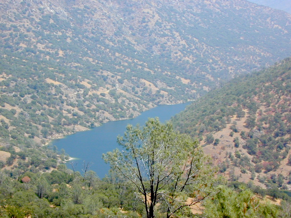
Redinger Lake, near North Fork, CA
funkyoldlodge
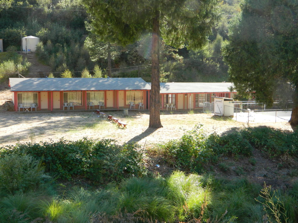
Funky, old, motel in El Portal, CA

Alabama Hills, California

Eastern Sierra BLM – Alabama Hills


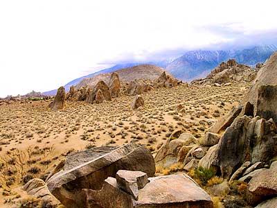
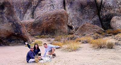
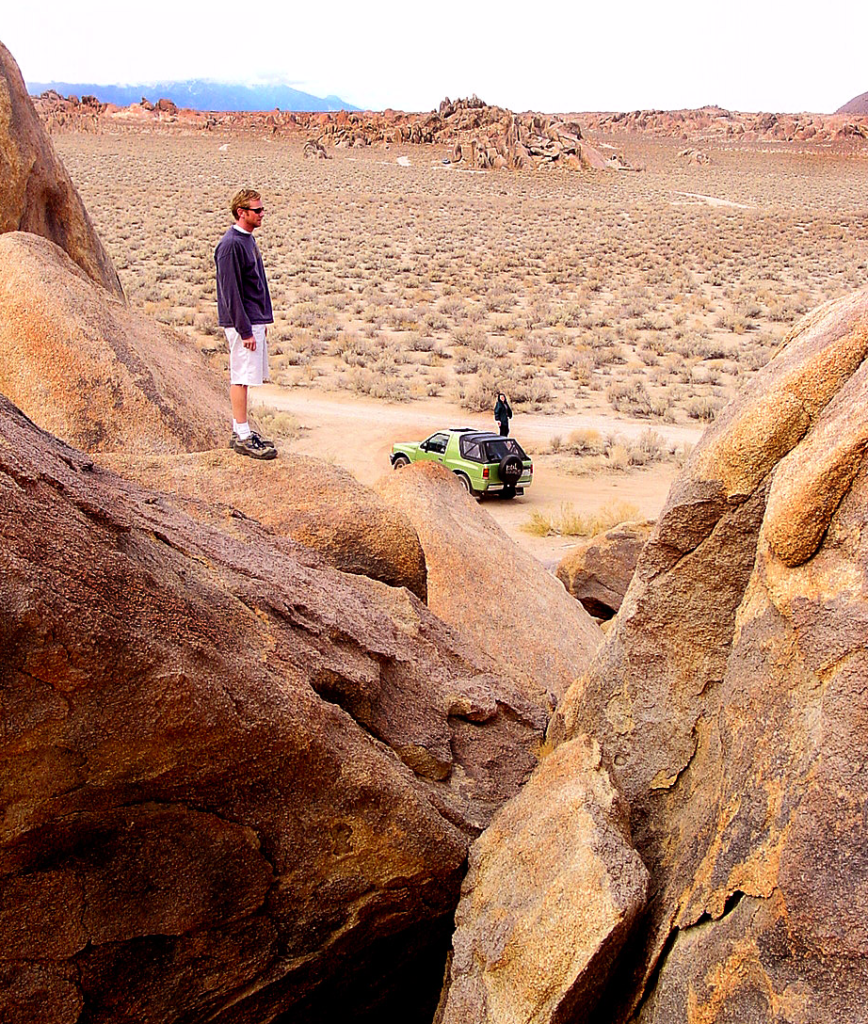
A nice surprise for visitors to Mount Whitney region when they happen upon the Alabama Hills. The cool boulder field lies at the base of the eastern Sierra Nevada mountain range – next to the town of Lone Pine, on the way up to Whitney Portal.

The infamous area features a drive named “Movie Road” – with historical spots for filming old westerns & cowboy movies. Plenty of television commercials & videos have been filmed here as well. Relatively close to Los Angeles and SoCal.

high desert: elevation 5354′


From the Mojave desert, take Hwy.395 North to the small town of Lone Pine . At the only traffic light in town; turn left up Mt Whitney Portal Road; continue up to boulders. MOVIE ROAD, right turn to start exploring. Mant graded dirt roads and areas to park vehicles.

  • hike

  • bike

  • camp

  • horseback

  • natural arches

  • rock climbing

  • stargaze

  • wildflowers


MT WHITNEY MAPS

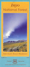
Inyo National Forest next door offers the highest granite peaks, pinon pines to Ponderosa pines, Sierra lakes, fishing, hiking, horseback trails.

campfireNO CAMPFIRES (and no open dispersed camping on this BLM land)

Developed Campgrounds nearby:

bamahillcrew

blm

ALABAMA HILLS – BLM 

download BLM PDF map

US 395


Alabama Hills Recreational Area
760-876-4444


Mt. Whitney Information Center
760-876-6200


Eastern Sierra links & info

Alabama Hills Stewardship Group
BLM Alabama Hills Info
Eastern Sierra Interagency Visitors Center
Friends of the Inyo
Mt. Whitney Ranger Station USFS


Kaweah River California

Kaweah River California
Kaweah Lake Camping
Picnic & Wildflowers

picnic

Horse Creek Campground Sequoia
Kaweah Lake, California

Kaweah wildflowers

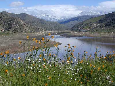
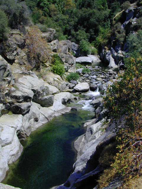
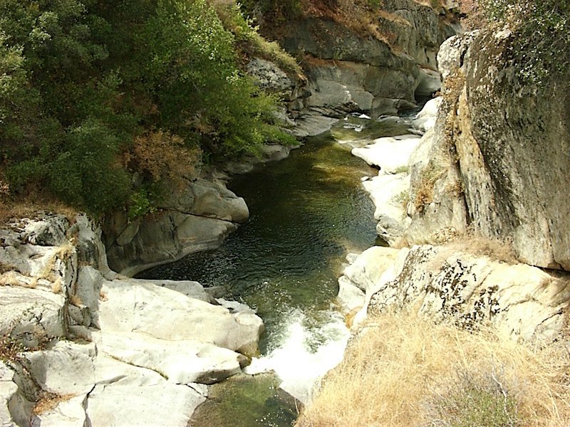
The Kaweah River is fed from snow melt in the southern Sequoia National Park & Golden Trout Wilderness . Since this location is the Southern Sierra Nevada mountains, where drought is more apparent, expect this river to be smaller than most of the other Sierra rivers.

Recent wildfire: SQF Fire 2020

kaweah river

Kaweah River has 4 forks, coming in from 3 different directions, east of the lake:

North Fork Kaweah runs down the western boundary of Sequoia National Park

Marble Fork Kaweah flows down from the National Park and  Sequoia groves on Generals Hwy 190

East Fork Kaweah comes out of Mineral King Valley

South Fork Kaweah feeds in from the south, just outside the river town of Three Rivers, California

pinetree

Forests & Parks along this River:

Mineral King
Lake Kaweah
Sequoia National Park

Above the town of Three Rivers, the mighty Mineral King Road peels off Highway 190 and winds its way up 25 miles – deep into the southern section of Sequoia National Park. This is a dead end canyon and it is so gorgeous – you’ll want to spend the whole weekend.  The road is long, narrow, curvy and takes hours to drive one way. The route closes for winter snow and stays gated for more than half the year.

Don’t plan on doing Mineral King (as a day trip) in addition to the main attractions of Sequoia groves in Sequoia National Park, unless of course, you have a whole week to burn. Mineral King is a remote, high elevation valley that is a favorite hikers paradise, with backpackers trailheads leading into Golden Trout Wilderness. Climb to upper altitude alpine lakes for a day of fishing. Play at the creek at the campground and listen to nightly ranger talks during the summer. Bears and marmots are very active in this area.

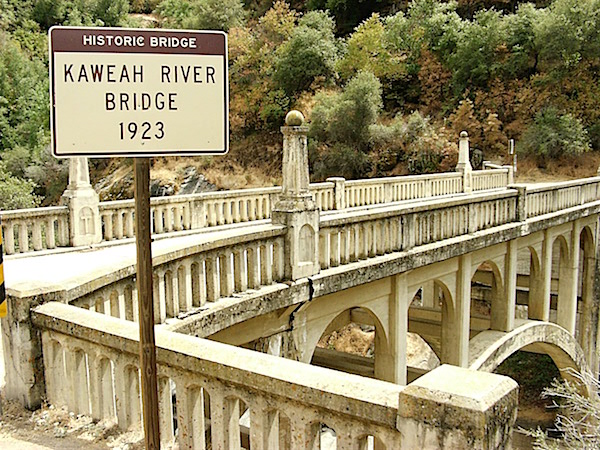
1923bridge
Photo Credit – Christian

Sierra Nevada / Central California

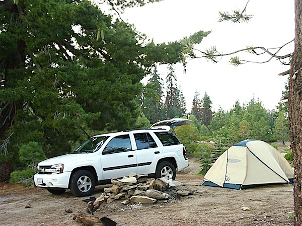
Seeking solitude while camping is difficult near the National Park. Dispersed camping is allowed on a few dirt back roads, but you will need a decent National Forest map to find these routes.

fish
The least busy, smallest campground around these parts is the South Fork Campground which does not accommodate motorhomes. Access is by a secluded South Fork Road, a dead end, rural residential, paved road – on the edge of town (Three Rivers, CA) With only 10 camp sites it is nmuch quieter than any other option. Perfect campground for tent campers, day hikers or backpackers.

Dry Creek Rd #J21 and North Fork Road (dirt roads, on the north side of the lake) are excellent routes for secluded picnics and wildflower meadows. Possibly gated part of the year, these roads connect to the seldom-seen, west side of the Sequoia National Park and some secluded Sequoia groves.

We are taking 20+ mies of dirt road driving, to reach any decent back road destination, so choose this path only if you have a.) a printed hard-copy topo map, b.) a worthy, high clearance vehicle and c.)  a full free day to kill just driving slow (25 mph) and exploring.

boondock camping
Photo Credit – Christian

hiker

  • backpacking

  • boating

  • camping

  • canoe

  • fishing

  • forests

  • hiking

  • kayaking

  • paddleboard

  • rafting

  • RV camping

  • swimming

  • tubing

  • wildflowers

canoe

kaweah river
Photo Credit – Christian

camp

Campgrounds near Kaweah River:

Atwell Mill Campground
Cold Springs Mineral King NPS
Buckeye Flat Campground NPS
South Fork Tent Campground NPS

Horse Creek Campground
@ Lake Kaweah

boatramp

Lodging near Kaweah River @
Three Rivers, California

river tube rentals

3 rivers town

Foothills Visitor Center
Sequoia National Park
47050 Generals Hwy
Three Rivers, CA 93271
559-565-3341

ranger

towns along Kaweah River:

Gateway Kaweah River
Gateway Restaurant, Three Rivers, CA

Sequoia Maps – Topo Trail Maps

Hiking Map