Yuba River
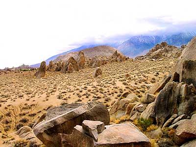
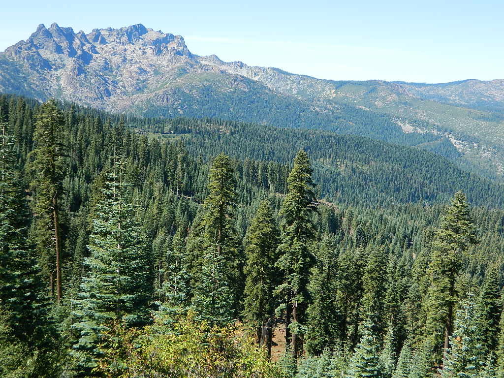
Northern Sierra Nevada Mountains
Tahoe National Forest
North Gold Country @ Historic Highway 49
Marysville, California
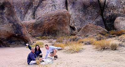
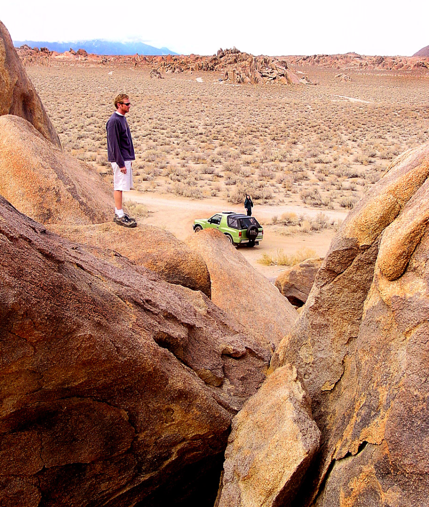
Historic ‘gold rush’ mining camps and towns line this popular recreation river in the Northern Sierra. Numerous State Parks, museums, and campgrounds can be found along this route, in which Tahoe National Forest land encompasses the whole region.
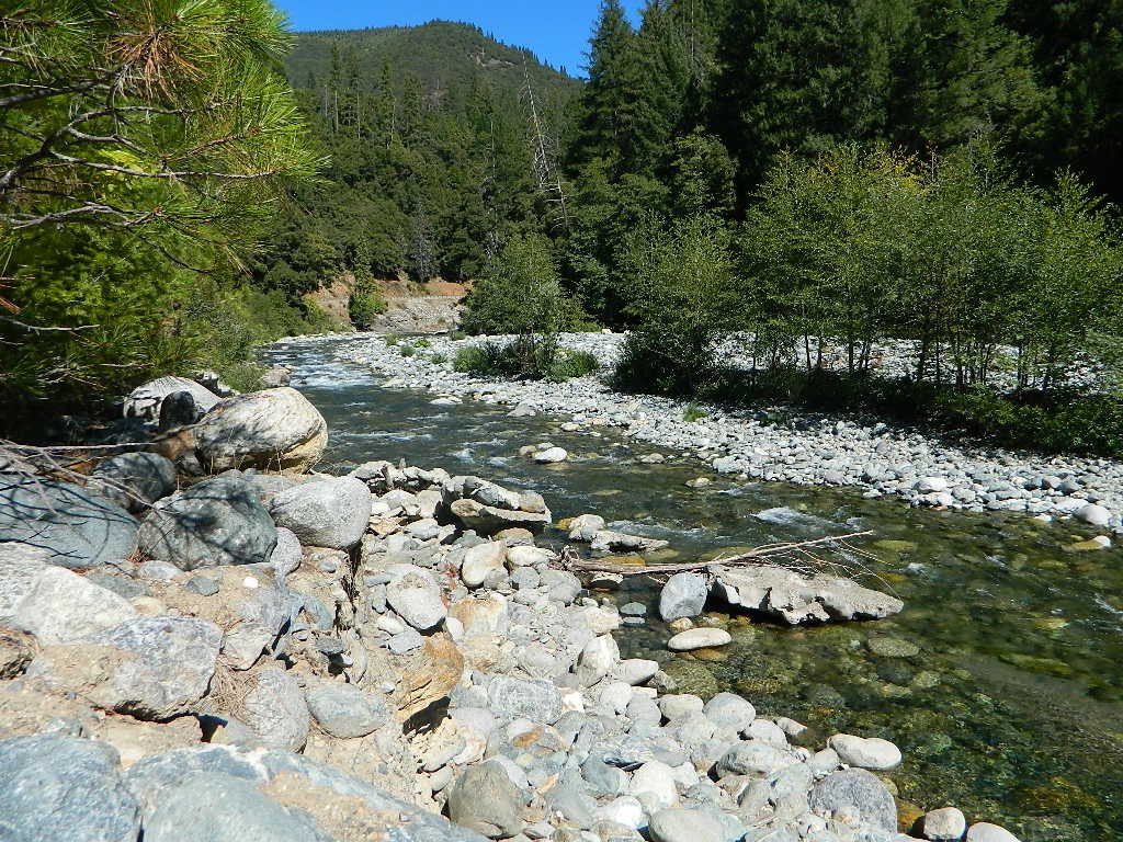
North fork of the Yuba River lines Historic Highway 49, on the way to Downieville and Sierra City, CA. Plenty of camping in these parts. Lakes Basin Recreation Area is located up behind the impressive granite spires called Sierra Buttes and this area is the headwaters for this portion of the river.
New Bullards Bar Reservoir is also located in these parts, and offers camping and boating w/ very limited shoreline access.
Middle fork of the Yuba River cuts through the residential mountain community on Moonshine Road, and ends up in Lake Bullards Bar; The rest of the middle fork flows through remote forest lands and is only crossed by one dirt road #191 in Tahoe NF.
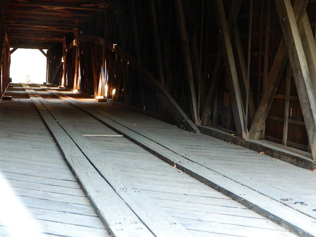
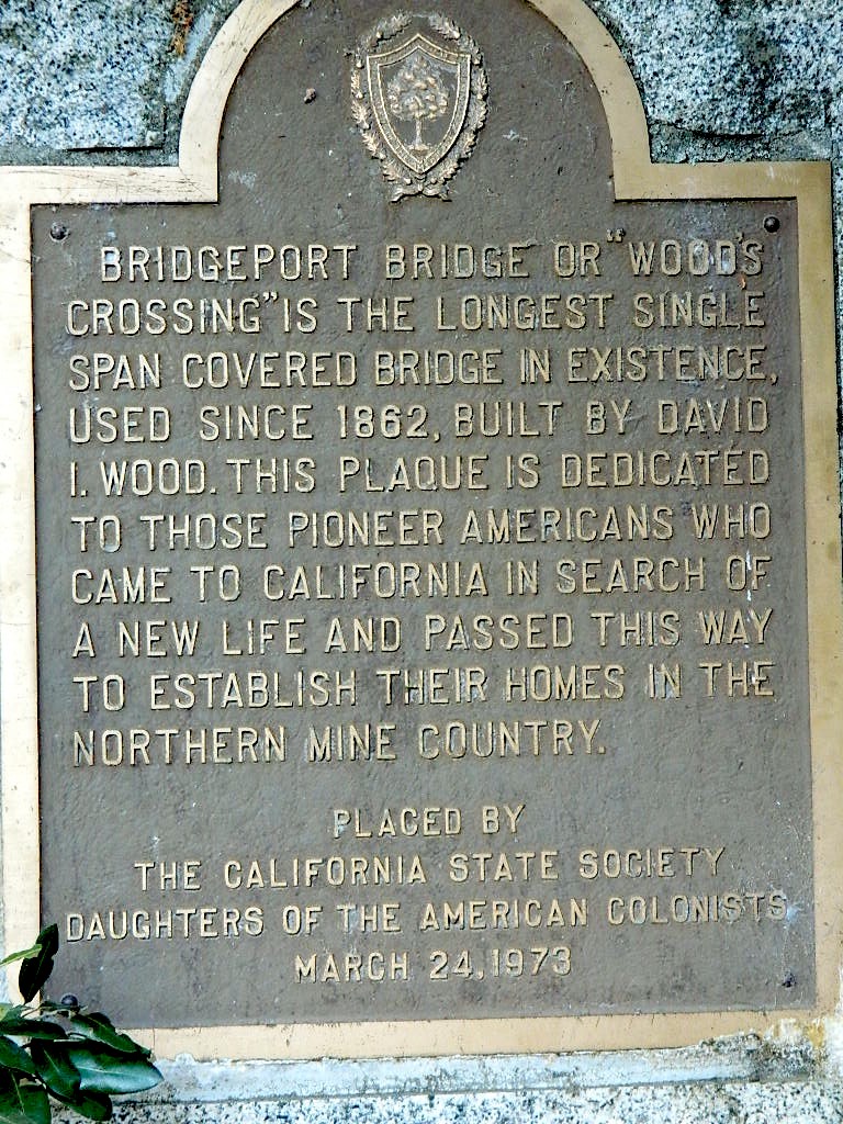
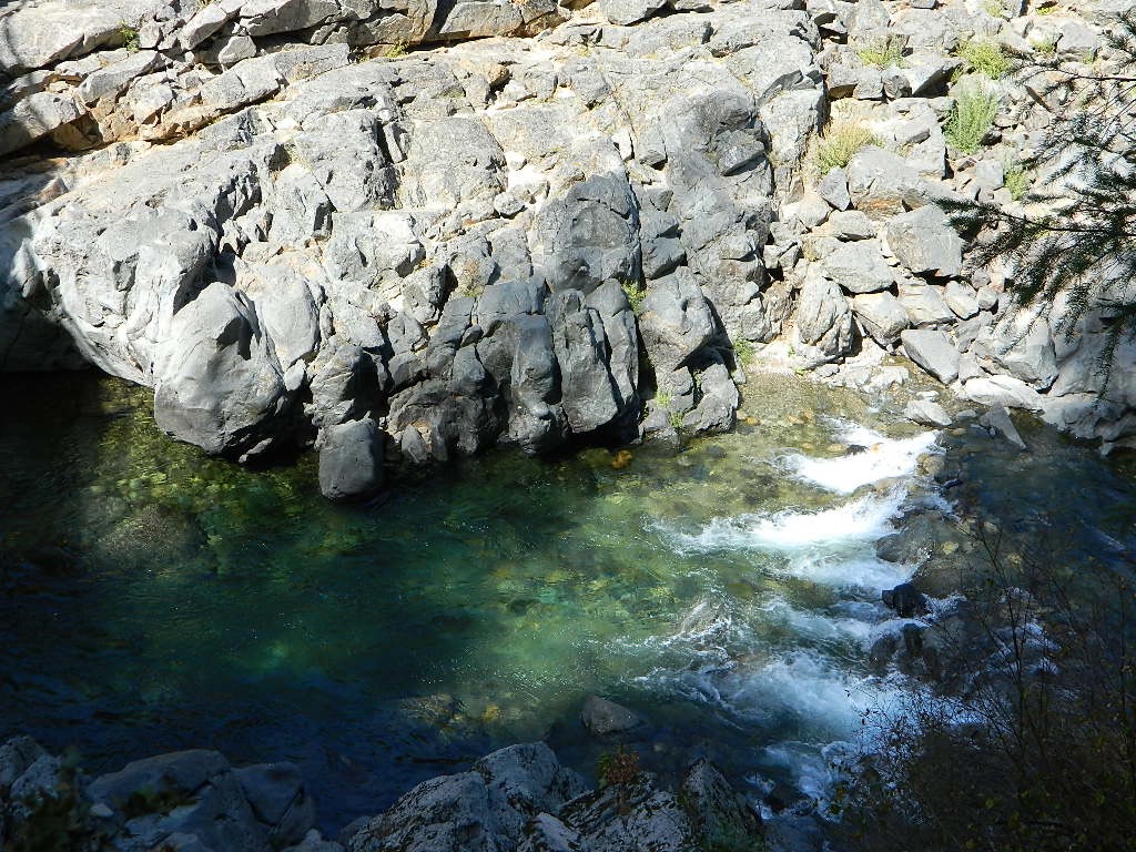
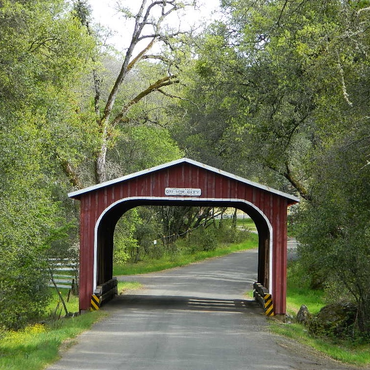
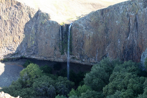
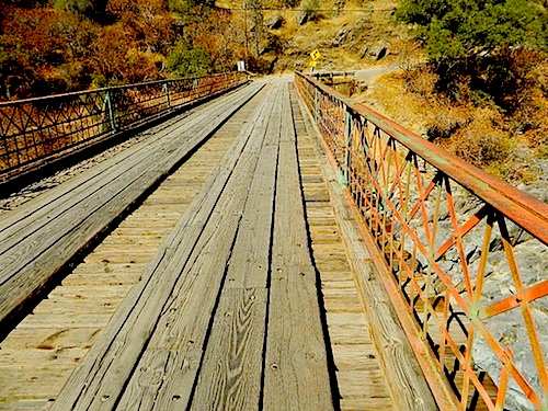
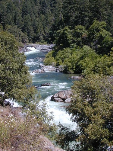
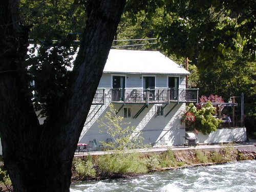
South fork of the Yuba River flows from the far heights of Donner Pass and I-80; near Lake Spaulding. Passing Washington Ridge; northeast of Nevada City; and North Bloomfield @ Malakoff Diggins continuing down to Bridgeport @ South YUBA – where the longest wooden, covered bridge is located. Numerous old, one-lane bridges cross this southern fork of the river, and the region can take years to explore. Lots of residential and private properties.
Bureau of Land Management (BLM) has a campground way back here, the CHEAPEST CAMP around; Look for signs, along the dusty North Bloomfield Rd (graded dirt road) about a mile UP hill from rickety Edwards Crossing (pictured below).
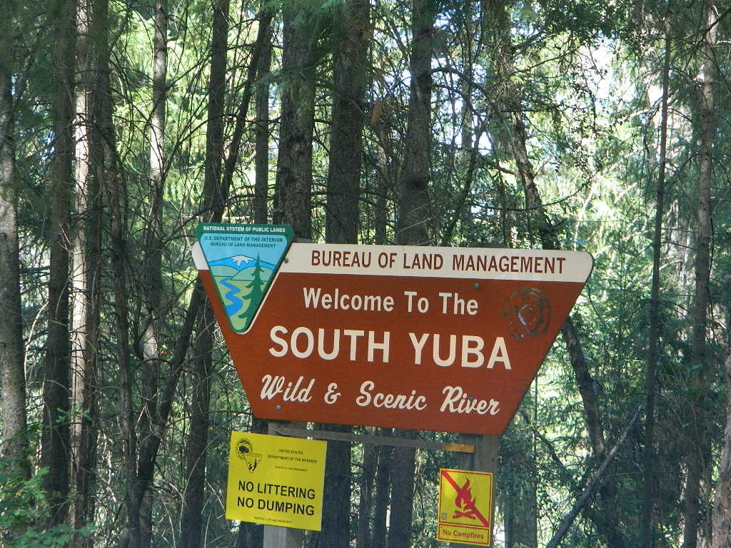
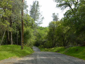
South Yuba State Park, located along the Golden Chain Hwy 49, is a short drive up Hwy 4 from Nevada City and a very popular spot for sightseeing, day hiking, backpacking, mountain biking and riverside picnics. The parking lot at the large curved bridge fills up fast, daily. Pedestrians and hikers are always seen here, so slow down driving along this portion of the highway.
The big river forks all join west of Grass Valley, heading down the mountains, paralleling Hwy 20 to Marysville, CA
Yuba River Recreation
Backpacking
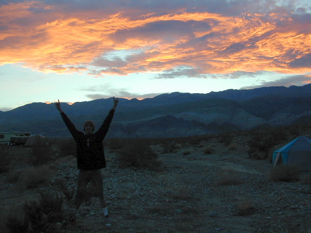
Camping
Fishing
Hiking
Kayaking
Reservoirs
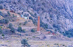
Mining History
Mountain Biking
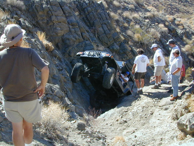
Off-Roading
Picnics
Rafting
Tubing
Sightseeing
Forests, Lakes & Parks along this River:
Tahoe National Forest
Lakes Basin Recreation Area
Malakoff Diggins State Historic Park
BLM South Yuba Recreation
Bridgeport Covered Bridge
Kentucky Mine Museum
Lakes Basin Recreation Area
New Bullards Bar Reservoir
Englebright Lake
South Yuba River State Park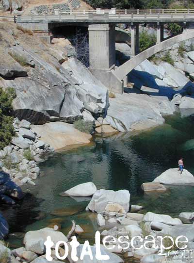
Yuba River Camping
Campgrounds along Yuba River:
Fiddle Creek Campground
Indian Valley Campground
Rocky Rest Campground
Ramshorn Campground
Union Flat Campground
Loganville Campground
Wild Plum Campground
Malakoff Diggins State Historic Park
Chute Hill (Shooter Hill Campground)
South Yuba BLM Campground
Lakes Basin Campgrounds: Gold Lake, Sardine, Salmon, Snag, Goose, Packer, Long, Big Bear, Jamison, Smith
The historic river town of Sierra City is defined by the North Yuba River that cuts through the granite, forested canyon. Granite towers above and snow is around more than half the year.
The river is free-running up here; Sierra City is only about 10 miles below the headwaters of the Yuba, at Lakes Basin Gold Lake California. In spring, runoff is pure Class 5 whitewater. Wild Plum Campground is walking distance to town.
 Free primitive camping on dirt roads, can be found way up near the Bassetts intersection. Opposite from Gold Lake Hwy – turn RIGHT (south) on to logging roads: Forest Rd #54 (long ridge route, all dirt) and club into the forest. Drive a several miles up to any large dirt pulls out. Passenger car accessible road; No low riders. Carry a good forest map. Many primitive camp spots have wide openings with views of the Sierra Buttes and crystal clear night skies. Wind can get bad on this mountain ridge, so pick your camp spot with that in mind.
Epic view camp – or expensive river camp? (you choose). Campfire permit are required for camping outside of developed campgrounds. Bring your own water and shovel!
Towns nearby & along Yuba River:
Allegheny, CA
Bridgeport, CA
Brown’s Valley
Downieville, CA
Goodyears Bar
Gold Lake California
Marysville, CA
Nevada City, CA
North Bloomfield
North San Juan
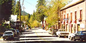
Sierra City, CA
Yuba City, CA
Maps near this River:
Tahoe National Forest Map
South Yuba River Map
Lakes Basin Recreation Map
NatGeo Sierra Buttes Map
Tahoe Forest 4×4 Guide