Tag Archives: valley

California Farm Towns

barn pozo

California Farming Areas:
agriculture, farm stands, food crops, livestock, orchards, vineyards

Adin
Angwin
Arroyo Grande
Bakersfield
Berry Creek
Bishop
Blythe
Brawley
Bolinas
Boonville
Brentwood
Calexico
Calistoga
Camarillo
Castroville
Cedarville
Cloverdale
Coalinga
Colusa
Covelo
El Centro
Etna
Fall River Mills
Fallbrook
Ferndale
Fillmore
Forestville
Fort Jones
Fremont
Fresno
Geyserville
Gilroy
Gridley
Guadalupe
Hanford
Healdsburg
Hopland
Independence
Ione
Isleton
Kelseyville
King City
Kingsburg
Knights Ferry
Indio
La Qunita
Laytonville
Lemon Cove
Lindsay
Little River
Live Oak
Livermore
Lodi
Loleta
Lompoc
Los Olivos
Los Osos
Manteca
Maricopa
Marysville
Mecca
Merced
Modesto
Montague
Mount Shasta
Napa
Needles
New Cuyama
Nipomo
Oakdale
Oceano
Ojai
Orland
Oroville
Oxnard
Paso Robles
Pescadero
Petaluma
Petrolia
Philo
Porterville
Rainbow
Red Bluff
Reedley
Rio Vista
Sacramento
Saint Helena
Salinas
San Gregorio
San Juan Bautista
San Luis Obispo
Santa Maria
Santa Paula
Santa Rosa
Santa Ynez
Scotia
Sonoma
Stockton
Tehachapi
Temecula
Tulelake
Ukiah
Upper Lake
Valley Center
Valley Springs
Ventucopa
Ventura
Visalia
Watsonville
Weed
Williams
Willits
Willows
Windsor
Winters
Woodland
Yuba City

no chickens
Central Coast Calif: Arroyo Grande’s  public parking lot has free range chickens and roosters running around loose, so watch your speed.


California Ranching Areas:
cattle grazing, livestock, ranches

Alturas
Atascadero
Big Pine
Bishop
Caliente
Campo
Cayucos
Descanso
Dulzura
Elk Creek
Gorman
Hollister
Independence
Julian
Kennedy Meadows
Kernville
King City
Lebec
Los Alamos
Mill Creek
Morro Bay
Paynes Creek
Ramona
San Luis Obispo
San Simeon
Santa Margarita
Springville
Susanville
Taylorsville
Templeton

bycounty
see also –
List of Rural Counties in California
Central Valley Reservoirs


Salinas River

salinasriver

Coastal California

Foothills & Farmland

US Highway 101 cuts thru Salinas Valley & is home to the Salinas River. This area is rich in farming, and industry w/ some residential

Rolling hills with oak trees; cattle in every open field, fresh air and wide open vistas. River has no big campgrounds or city campgrounds, except for the seaside area, where the river hits the ocean @ Marina, CA

Central Coast California Wine Country

Paso Robles, Northern San Luis Obispo County –  is where the Salinas River begins & flows northbound along mountains and  highway – until it meets the Monterey Bay near Castroville, California.

  • dirt bike trailsdirtbikes
  • camping
  • farm stands
  • hiking trails
  • horseback trails
  • pinyon pine
  • oak foothills
  • mission
  • wilderness
Los Padres Monterey Map

This is a big valley river which drains agricultural land, so boating/kayaking is okay, but fishing/swimming – maybe not so great. This region grows huge amounts of produce, due to the inland coastal foothills near perfect climate. Pesticide runoffs can hardly be controlled. It’s in the well water, it’s in the irrigation channels, it’s everywhere – even inside your gut.

Anyhoo, there are several tourist sites, such as historical California missions & wineries in this region, along with Hollister Hills OHV Park. Be warned summer months can get very hot here.

Best time to visit SALINAS RIVER  is NOV-MAY, and in between winter storms, and June Gloom. NOTE: Flooding does occur in these lowlands.

horseback

Parks near Salinas River:hiker


Campgrounds near Salinas River:

coastal Monterey Bay –

inland @ King Citycamp

upstream Reservoirs –

    • Redondo Vista Campground (Lake San Antonio)
    • Harris Creek Campground (Lake San Antonio)
    • Lake Nacimiento Resort

This California Central Coast, mountains foothills river region is within Monterey County.

OAKS / CATTLE / FARMS / FREEWAY

Private property, ranch lands, farmland, and public land in the hills – National Forest, BLM, State Park, National Monuments, State Vehicular Recreation Area

Wildfires burn outta control in California, so campfire permits are only available during the wettest of years. Check with local ranger station in Kings City, CA

campfire

San Antonio River
Green Bridge @ Nacimiento Rd, the back way into Big Sur. San Antonio River

Lakes near Salinas River:

fish

Towns along Salinas River:

Attractions near Salinas River:

Downtown Salinas, CA
Downtown Salinas, California [circa 2002]

boatramp dog     picnic  canoeRV

Saline Valley Hot Springs
Maybe you were searching for a remote desert hot springs, called SALINE Valley? Halfway across the world? Nope, across California and the Sierra Nevada mountains.

Alabama Hills, California

Eastern Sierra BLM – Alabama Hills


A nice surprise for visitors to Mount Whitney region when they happen upon the Alabama Hills. The cool boulder field lies at the base of the eastern Sierra Nevada mountain range – next to the town of Lone Pine, on the way up to Whitney Portal.

The infamous area features a drive named “Movie Road” – with historical spots for filming old westerns & cowboy movies. Plenty of television commercials & videos have been filmed here as well. Relatively close to Los Angeles and SoCal.

high desert: elevation 5354′


From the Mojave desert, take Hwy.395 North to the small town of Lone Pine . At the only traffic light in town; turn left up Mt Whitney Portal Road; continue up to boulders. MOVIE ROAD, right turn to start exploring. Mant graded dirt roads and areas to park vehicles.

  • hike

  • bike

  • camp

  • horseback

  • natural arches

  • rock climbing

  • stargaze

  • wildflowers


MT WHITNEY MAPS

Inyo National Forest next door offers the highest granite peaks, pinon pines to Ponderosa pines, Sierra lakes, fishing, hiking, horseback trails.

campfireNO CAMPFIRES (and no open dispersed camping on this BLM land)

Developed Campgrounds nearby:

bamahillcrew

blm

ALABAMA HILLS – BLM 

download BLM PDF map

US 395


Alabama Hills Recreational Area
760-876-4444


Mt. Whitney Information Center
760-876-6200


Eastern Sierra links & info

Alabama Hills Stewardship Group
BLM Alabama Hills Info
Eastern Sierra Interagency Visitors Center
Friends of the Inyo
Mt. Whitney Ranger Station USFS


Panamint City California

panahills
Photo Credit © Lttlbddy Steve Gardiner

Panamint City, a super remote mining camp on the edge of Death Valley National Park

elevation: 7300′

(Not to be confused w/ Panamint Springs, CA which is NW, along the main Highway 190 on the west side of DVNPhiker

Panamint Valley, Death Valley NP
Inyo County, NE of Ridgecrest
East of Hwy 395, south of Hwy 190

Hard to reach ghost town / abandoned mining camp on the mountainous edge of Death Valley National Park. Access via dirt road and steep trail,  off the paved Trona Wildrose Road. Panamint Valley, west of Death Valley

best time to visit: November – April
Triple digit heat is common in the warmer months, so spring, autumn and winter time is best for this region, but beware of winter storms.snow

Snow is common on  the peaks, and at higher elevations (like this place) during winter (DEC-APRIL). If you see trees on the terrain – joshua trees or pinyon pines, that indicates that snow falls here often enough. Snow is possible around Death Valley, down to 3000′ elev. during coldest of winter storms.

Surprise Canyon Wilderness BLM – Desert mountains, steep rocky terrain w/ peaks and very few trees. Surprise Canyon can become a waterfall, during heavy desert rains. The canyon is the  only access up to reach this hidden town4x4

NO MORE 4×4
Hike or backpack up Surprise Canyon
No longer 4WD accessible .Gotta hike it on foot now. So get that fat ass outta the rig for some elevated heart rate (real exercise).

This desert destination used to be a very popular off-road trail, where Jeeps would wench and crawl up the narrow, rocky passage; but all that changed with a wilderness designation (1994)  and no longer are machines allowed in this specific canyon area. No vehicles (engines) and no mountain bikes. No wheeled anything.

Off-roading and free-wheelin is still allowed and abundant in neighboring canyons of Nadeau Road & Panamint Valley – Pleasant Canyon, South Park Canyon, Jailhouse Canyon, Goler Wash, Isham Canyon

stack
Smoke stack has collapsed in the recent past, so this structure is no longer standing. Photo Credit © Lttlbddy Steve Gardiner

DVNP Topo Map

area activities & links:

  • lookinN
    Looking north in a neighboring canyon

    Campgrounds nearby –

    Ballarat ghost town has a camper bathroom w/ showers and a fee to go along with that. Panamint Springs has a small motel and a big restaurant, plus a large campground (across the highway) which can accommodate tents, camper trailers and RVs.

    camp
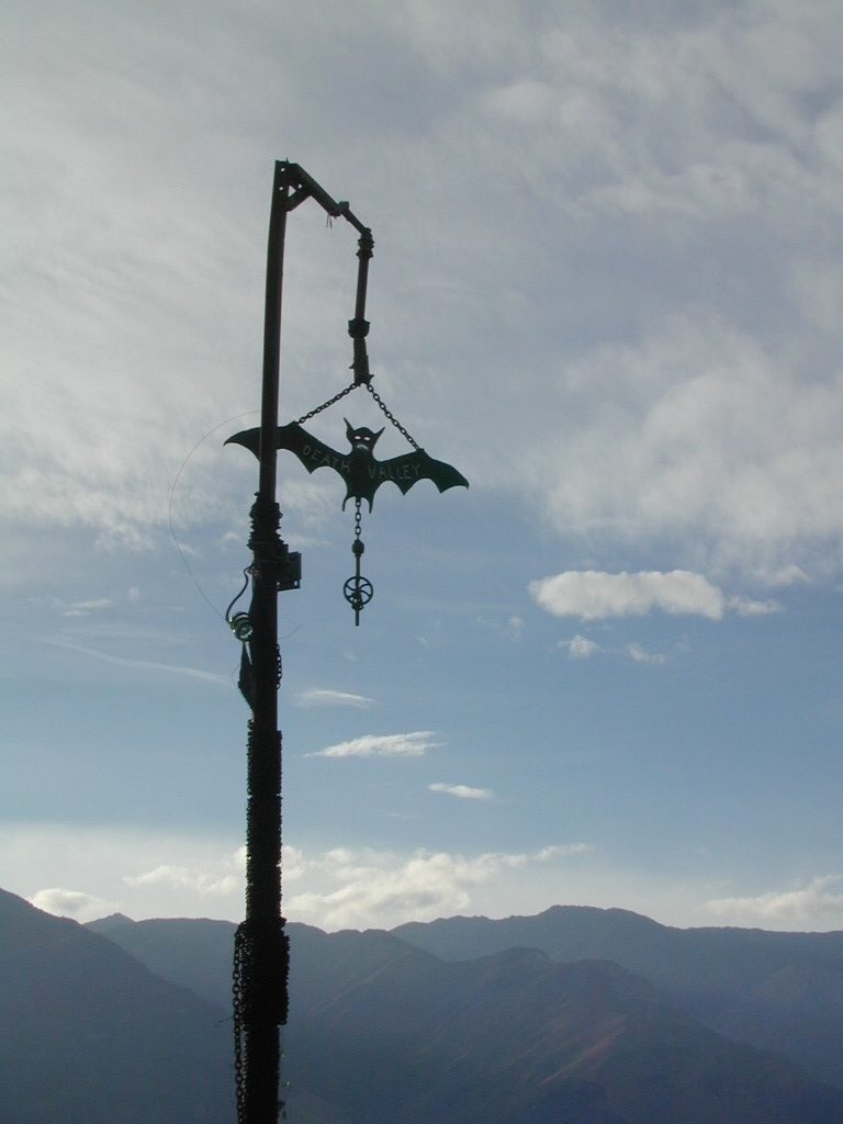
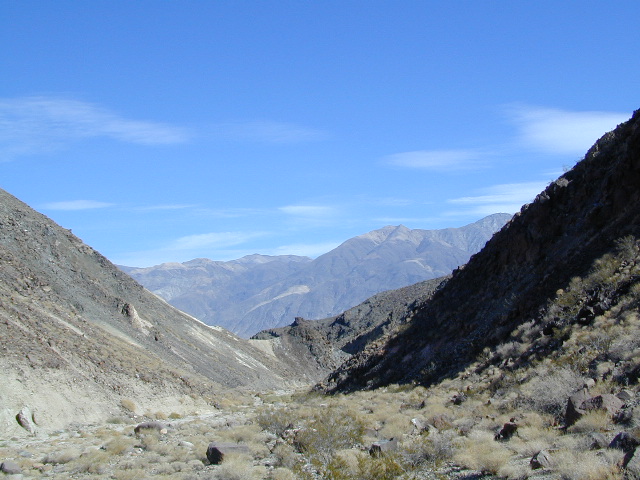
Death Valley National Park boundary means developed campgrounds are a few miles away up Wildrose Canyon.


  • Primitive Camping around Panamint Valley

    Boon-docking, dispersed, FREE, open camping is allowed almost anywhere in Panamint Valley and the neighboring desert canyons. Campfire permits are required and are available at BLM office in Ridgecrest. There is no firewood, nor wood collecting around these parts, so bring your own.

    camptruck

    Nadeau Road has abundant flat spots for RVs; Well stocked 4x4s can find secluded camping further up the canyons, but must be a self-sufficient camper and bring water, plenty of ice, extra gasoline, food and firewood.

    More Mining Camps & towns nearby:check

    Ballarat, CA
    Pleasant Canyon
    Randsburg, CA
    Skidoo, DVNP
    Tucki Mine, DVNP

    wildrosedrive
    Wildrose Canyon Road, DVNP

    lodging nearby – lodge

    Locating a ‘real bed’ near this remote desert region will require some driving. The closest option in Panamint Springs, which only has a few rooms. The next closest, would be Stovepipe Wells inside the National Park.

    mike_up5
    This is the kinda wheeling craziness that goes on in other canyons nearby.
    bestnite
    Leon from San Diego enjoys a spontaneous vacation.

    Camping in Panamint Valley is best in cooler months.  NOTE: Triple digit heat in summer!