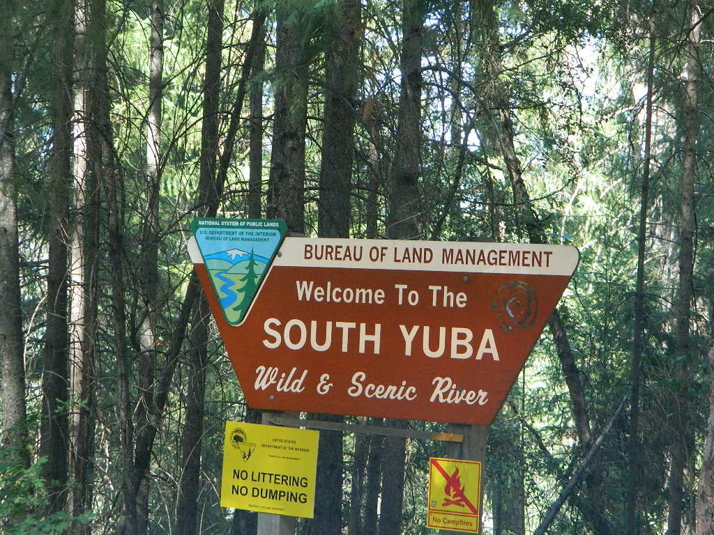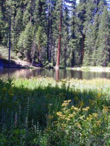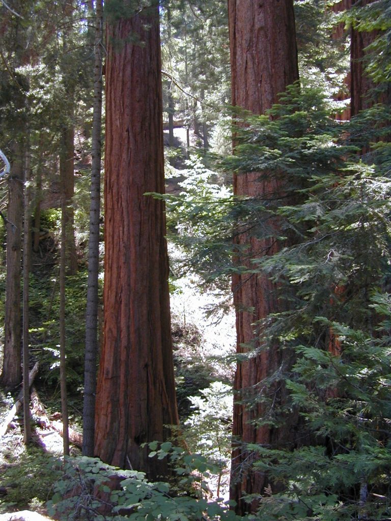
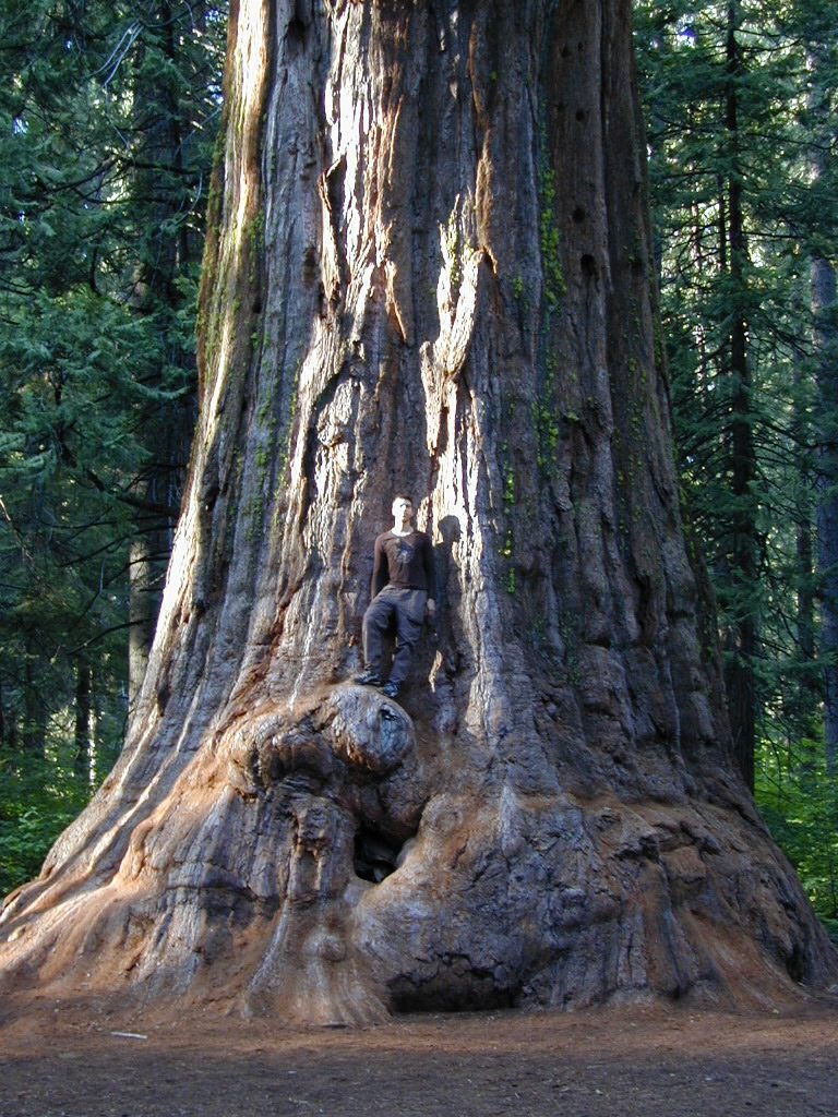
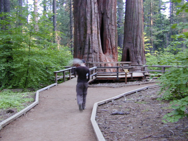
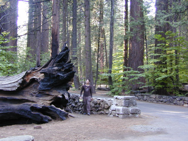
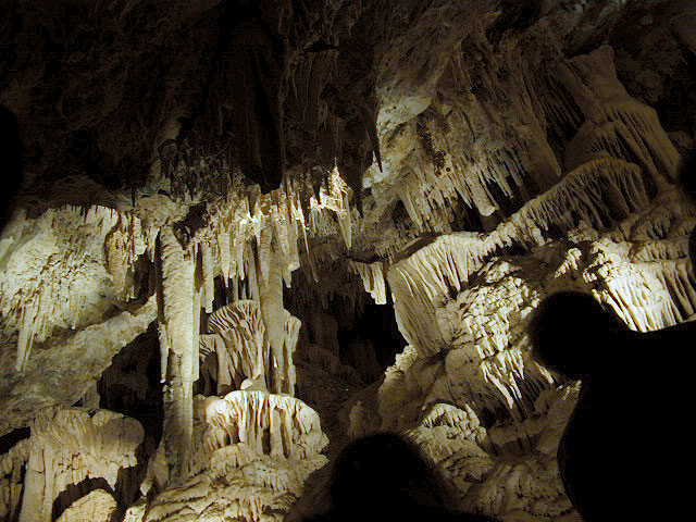
California State Park system manages this Gold Country Sequoia grove, called Calaveras Big Trees
Calaveras State Park
1170 Highway 4
Arnold, CA 95223
4 miles northeast of Arnold on California Highway 4, Ebbetts Pass
elevation: 4800′
6073 acres
Park Hours
Day Use: Sunrise to Sunset
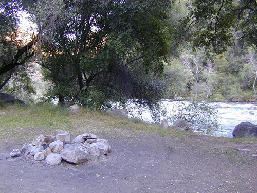
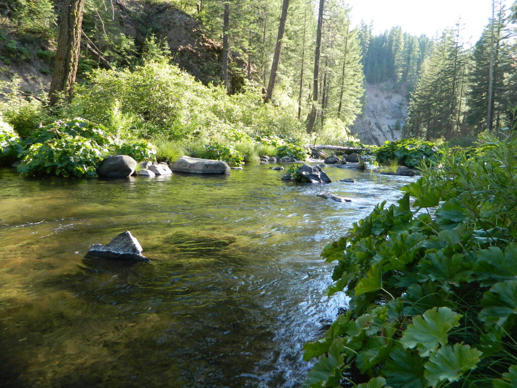
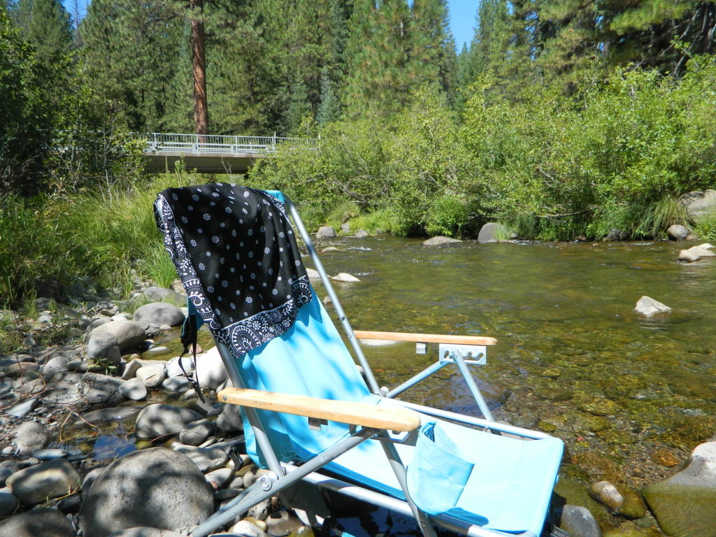
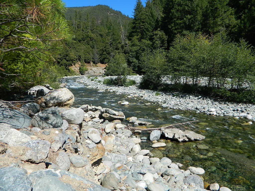
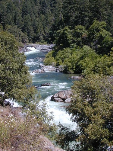
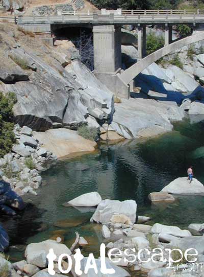
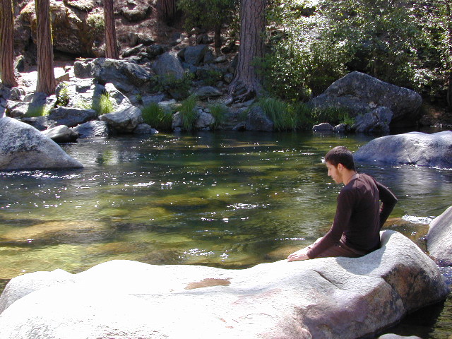
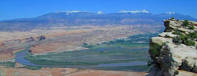
Stanislaus River and Sequoia Groves
+ 2 developed campgrounds
Park Headquarters
209-795-2334
Visitors Center
209-795-3840
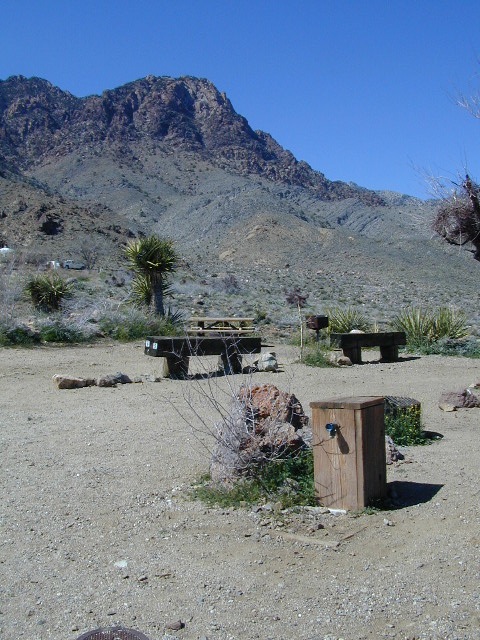
Calaveras is a small but popular Sequoia Park in the Gold Rush foothill country of the western Sierra Nevada Mountains. Large Sequoia redwood trees, Visitors Center, nature trails, 2 large campgrounds, Stanislaus River access, hiking trailheads and picnic spots. Summer and weekends are usually busy. Plan your visit on weekdays or off-season for less crowds.
Park is open during the winter, but expect rain or snow. Sledding is allowed in the State Park during decent snowfall. Snow chains or 4WD may be needed to reach this location during winter months.
Calaveras Recreation
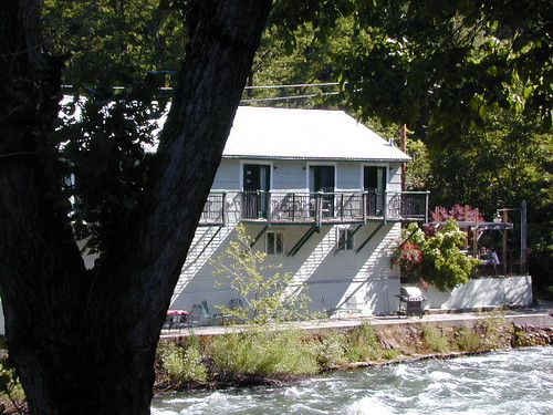
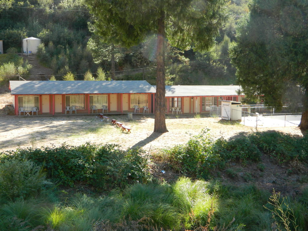
Cabin Rentals & Campgrounds
Calaveras has rustic cabin rentals
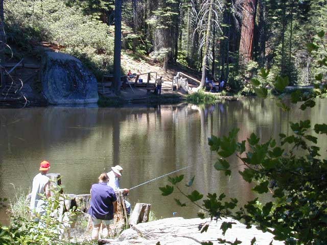
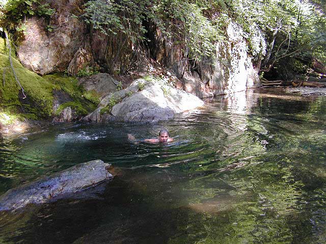
Fishing
Stanisalus River
Beaver Creek![]()
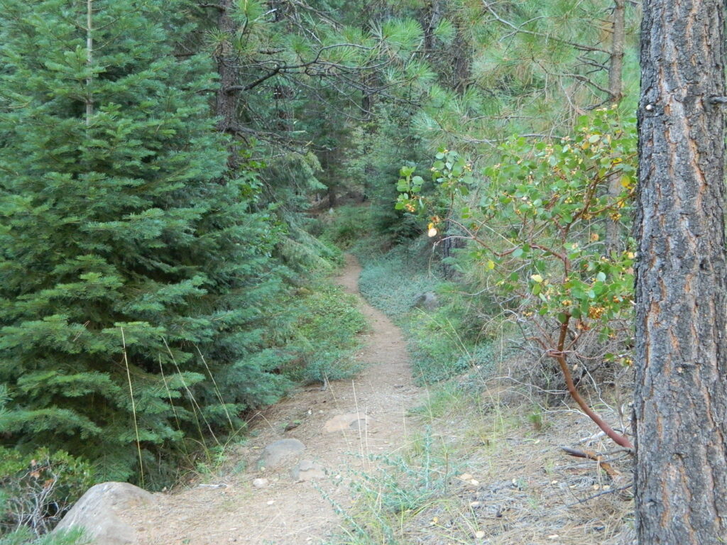
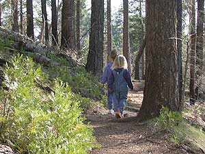
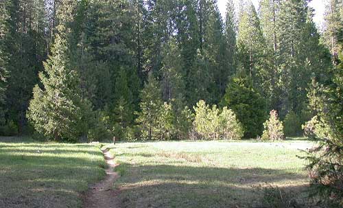
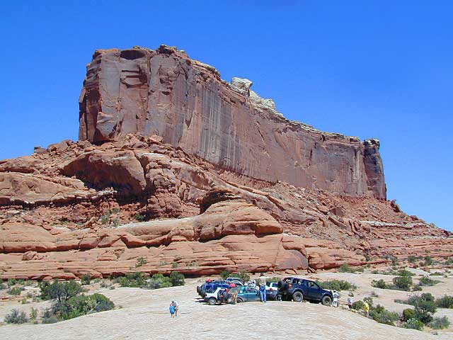
Hiking
Nature trails near Sequoia groves; Day hiking throughout park
Horses
May-October
Horseback tours
& stagecoach rides ![]()
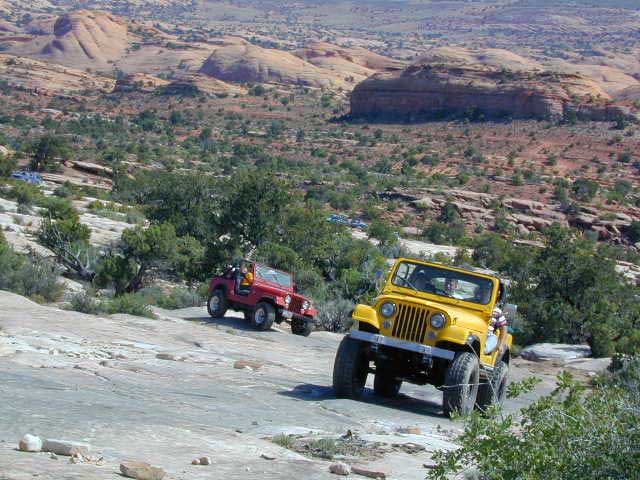
Mountain Biking
on bike routes and roads only![]()
Winter Skiing
Cottage Springs
nearby![]()
Calaveras Backpacking
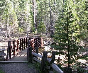
This park has nature trails, hiking trails , dirt roads and bike routes.
No trails in the State Park connect to outer wilderness areas or forest.
For backcountry camping on foot, you’ll need to drive into the National Forest and locate a trailhead. Obtain wilderness permit ahead of time at the USFS ranger station in Hathaway Pines, CA

![]()
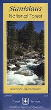
Stanislaus National Forest
Calaveras Ranger Station USFS 
5519 Highway 4
Hathaway Pines, CA 95233
Phone: 209-795-1381
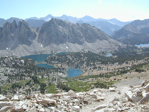
Closest wilderness areas to Calaveras SP:
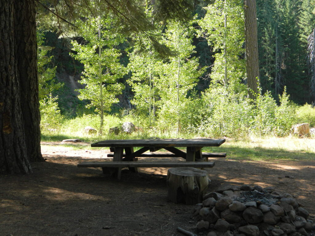
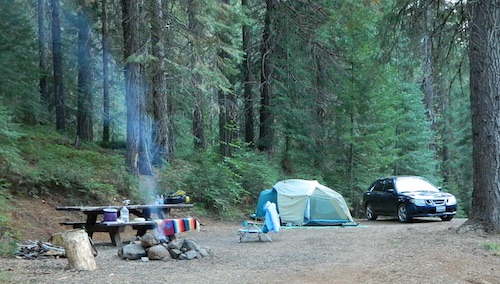
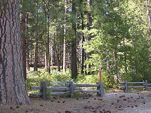
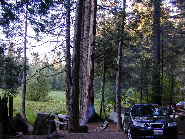
Calaveras Campgrounds
2 large developed campgrounds with flush toilets.
Campgrounds open March- November. Max RV or trailer = 30′
(camp reservations accepted)
- North Grove Campgrounds (located near hwy)
- Oak Hollow Campgrounds (located near river)
walk-in camp sites for tents only:
North Grove Environmental
Oak Hollow Environmental North
Oak Hollow Environmental South
NFS Camp Sites Nearby
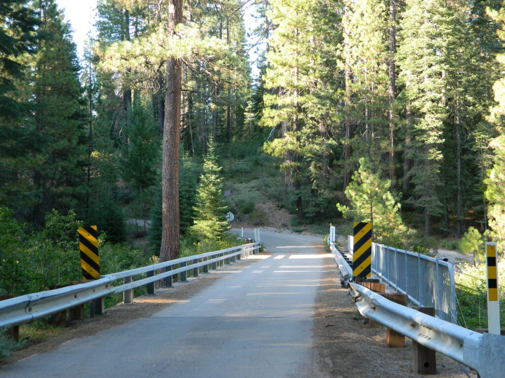
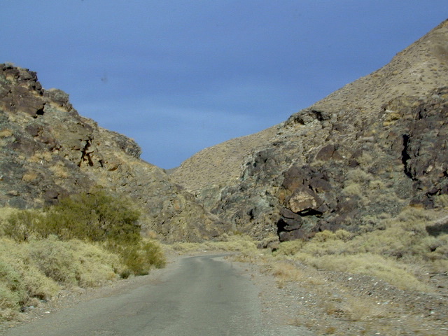
Beaver Creek Campground is located on Beaver Creek, on a dirt back road, way back in there. Past the big river. Just beyond the South Grove trailhead. USDA web site states that this camp is currently closed due to tree hazards. Google Maps has it listed, but the gov web site does not. Call local rangers to find out!
Sourgrass Recreation Area is just north of the State Park. Forest Road #52 will lead to numerous river destinations, camp sites, fishing spots and swimming holes.
Wakalu Hep Yo Campground: Primitive camp; 49 camp sites w/ fee. Pack it in, Pack it out. No garbage services. No reservations. First-come, first-serve. aka Wild River Campground
Big Meadow Campground is a large NFS camp, located right on Highway 4, about 20 miles from Arnold, CA; Large forested camp w/ shade, hiking and fishing closely; North fork of Stanislaus River; Autumn colors in the aspen grove; 68 camp sites, some of which can accommodate RVs. Max length = 27′
Primitive Camp Sites
No primitive camping inside this state park; Campfires are only permitted inside the 2 developed campgrounds.
WALK-IN environmental campsites are available at both of the State Park campgrounds – North Grove & Oak Hollow.
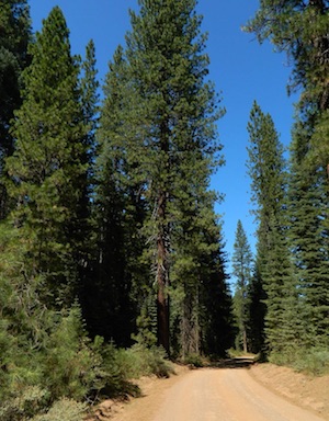
 For car camping and free of charge camping spots, you’ll need to exit the park and start your searching on the back roads, in the neighboring Stanislaus National Forest. First, get a good topo map and try to pick several spots worth exploring. Obtain a campfire permit from the USFS ranger station (Arnold, CA)
Driving dirt roads and looking for a primitive camp site should be accomplished during daylight hours. Arriving at night could pose serious problems, like getting lost, encountering wildlife, settling on a poor place to camp or worst, sleep in your car. Always plan for plenty of time and daylight to find a good (free) camp.
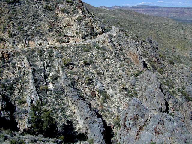
 Across the Highway (SR 4) from Calaveras State Park a long dirt road ridge line will lead to Railroad Flat – Forest Service Rd#5N23, Summit Level Road
Just north of Calaveras State Park is a paved road worth checking out – Board Crossing Road #52 becomes Forest Service Rd #5N02
Calaveras Hiking
State Park has nature trail around Sequoia grove & guided tours in  summer. Day hiking trails throughout the park and fishing trails along the river.
- North Grove
- South Grove
- Bradely Grove
- Lava Bluffs
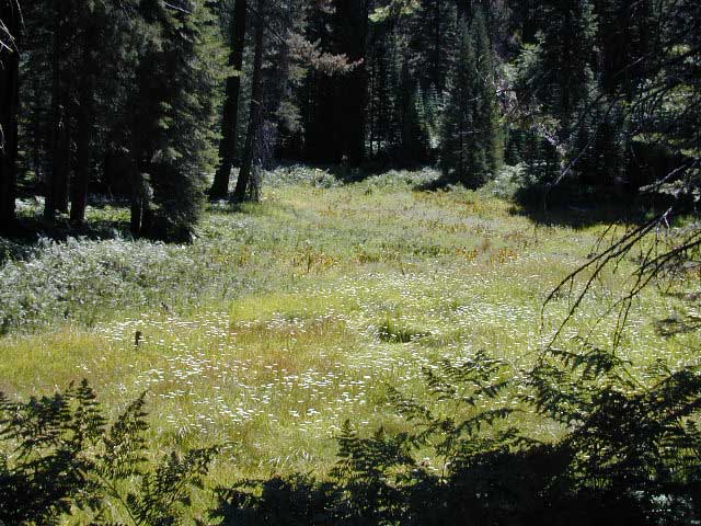
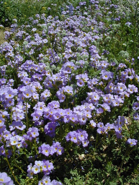
- Belle Meadows (wildflowers)
more public lands nearby –
BLM Gold Country
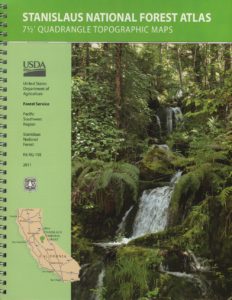
USDA Stanislaus National Forest
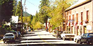
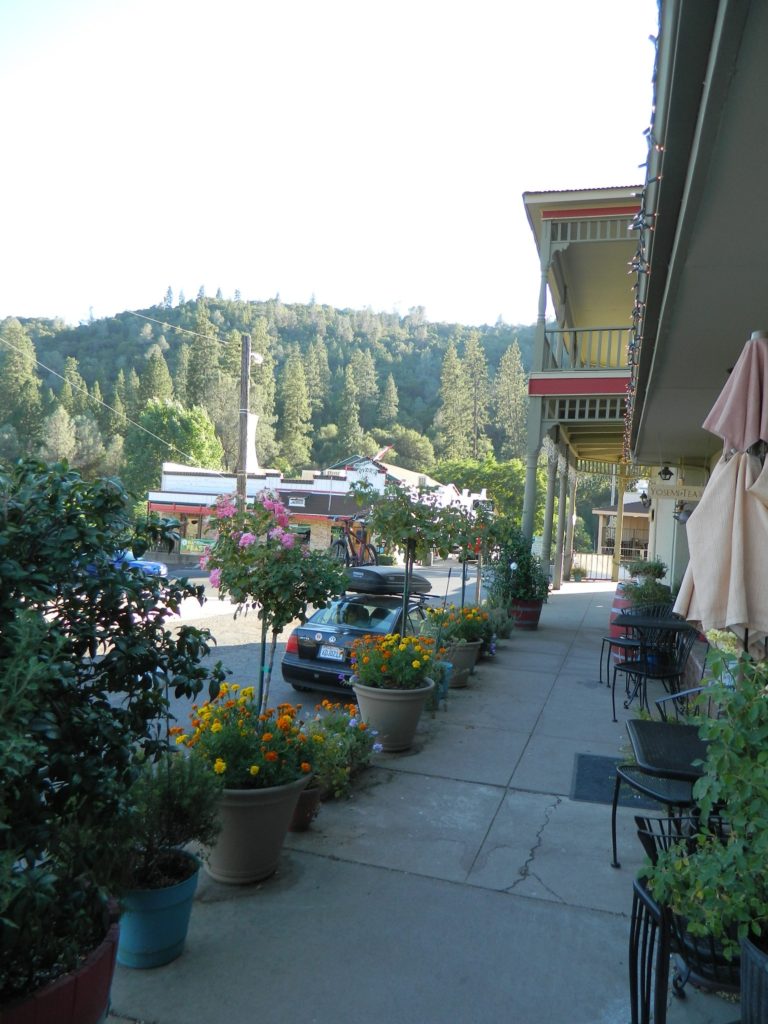
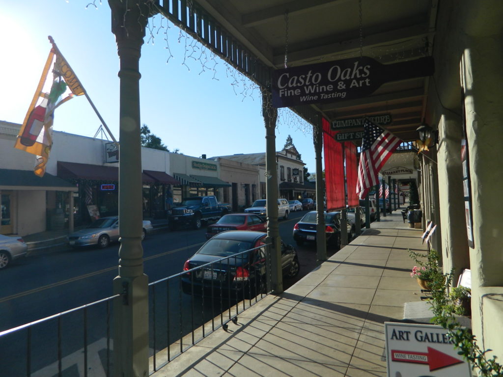
Nearby towns w/ lodging:
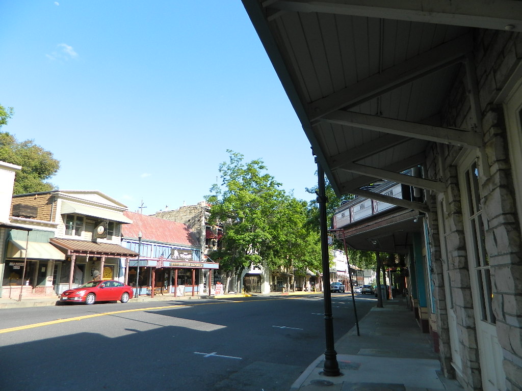
Angels Camp, CA
Arnold, CA
Dorrington, CA
Murphys, CA
Sonora, CA


 May through October is the best months to try this road trip, but be aware that there is a monsoon season here: Thunderstorms and flash floods are possible late summer into autumn.