Tag Archives: kayak

Santa Ynez River California

riverbelow
Lake Cachuma views from Camino Cielo West

Santa Inez River, Santa Ynez, CA

One of the largest rivers on the Central Coast of California, close to 100 miles long. You can find this river name spelled with “I” as well as “Y” on various maps featuring Santa Barbara. The smaller river “Inez” begins w/ the upper reservoirs, deep in Los Padres National Forest. After leaving Lake Cachuma heading westward, the name turns into the bigger “Santa Ynez” river. Agricultural farmlands, wineries, horse pastures, all the way to Lompoc.

The Santa Barbara Mountains
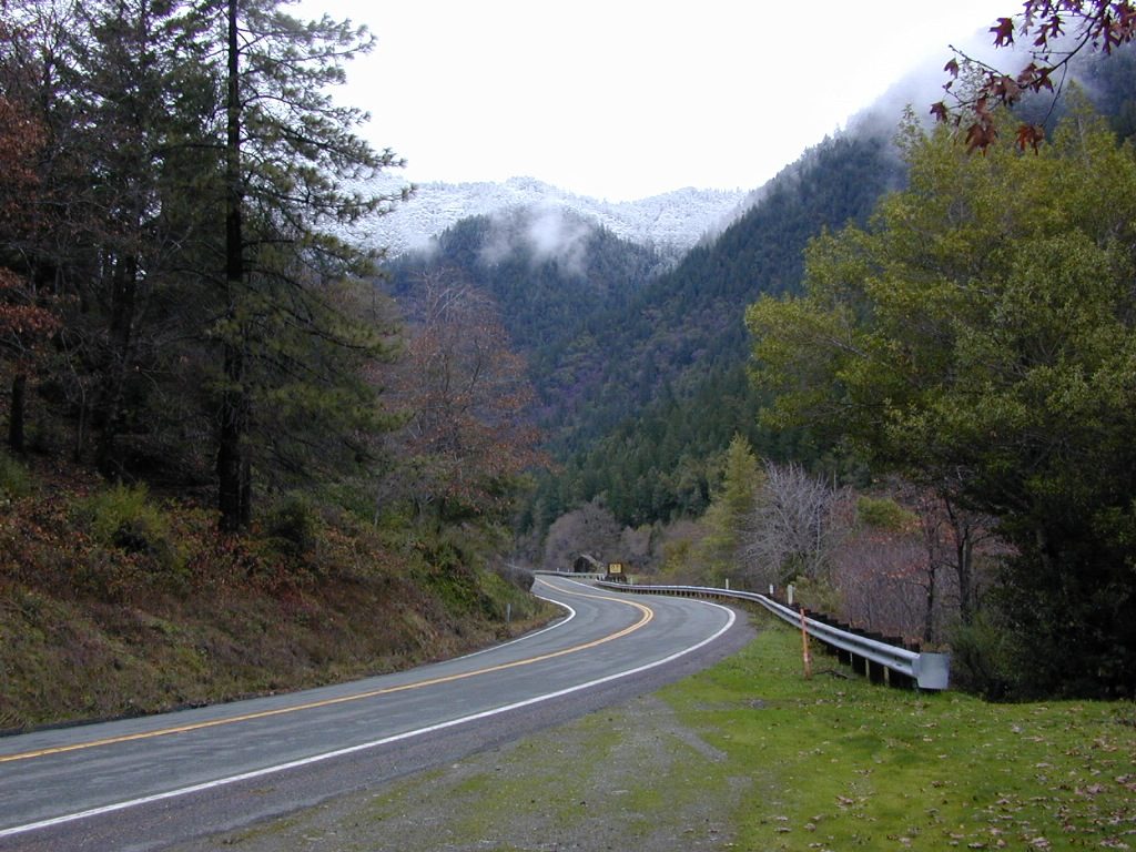
Highway 154, San Marcos Pass
Lake Cachuma, Los Padres National Forest

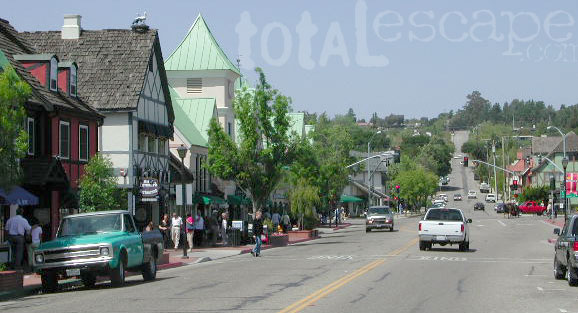
Solvang Danish Village
Lompoc farmland
VAFB

Rancho Oso Campground

San Ynez Mountains

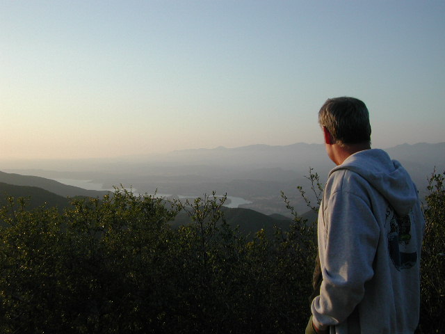
Everyone knows this area as Lake Cachuma, in the mountains
behind Santa Barbara. This fire-prone mountain range  parallels the palm tree lined coastal villages, along the scenic coastline of California. North of Ventura, Ojai and Los Angeles.

Indian Creek and Mono Creek drain the Dick Smith Wilderness Area, from the east, in Los Padres National Forest. Jameson Lake (2224′ elev) is a small reservoir where this river starts to come together. Downstream Agua Caliente Hot Springs flows, west to join Gibraltar Reservoir (1399′ elev). Then another 10 miles or so to meet w/ larger Lake Cachuma.  The large river continues thru Santa Ynez Valley, on to Lompoc and empties into the sea around Vandenburg.umbrella

Ocean Beach Park, Lompoc, CA

Ocean Beach sits in pristine isolation steps from engaging and beautiful shoreline, where the Santa Ynez River meets the sea. Bird-watchers and nature photographers love this spot. Beach access is closed to the public annually, from March – September due to bird (snowy plover) nesting season. Fishing is not allowed. Also known as “Surf Beach” and a well known coast for shark attacks.

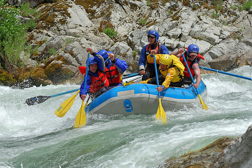
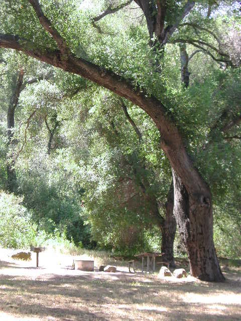
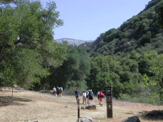
Hiking is a popular recreation around  this whole wine country region; Campgrounds are generally open all year long. Summers can be hot, winters are usually wet. Wildflowers bloom March-May.

outdoor recreation 

  • backpacking
  • camping
  • hiking
  • horseback
  • mountain biking
  • off-roadinhiker
  • picnicking
  • stargazing
  • wildflowers
  • wine tasting


hikingupperoso
Day hikes, horse trails, mountain bike and backpacking trailheads

Santa Ynez Recreation Area

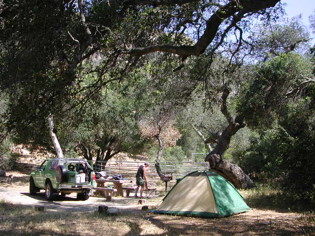
Campgrounds near this River

Camps in this list are managed by Santa Barbara County, USFS and privately owned campgroundscamp

Gibraltar & Agua Caliente
(access road #5N15 closed due to landslide; hike-in access only)

River Canyon AreaRV

Lake Cachuma Area

campupperoso
Upper Oso Camp

Dry SoCal terrain means that this river may be ‘seasonal’ – down to a trickle in drought years, or free flowing and wide during a good winter. Spring and winter storms can bring dangerous conditions and high water flowing over the paved roadways is possible. Authorities may close roads at any time depending on rainfall and river height.  Check the weather forecast and know what to expect, cuz it’s a dead end canyon way back in here.

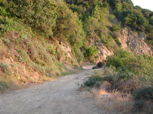
PARADISE ROAD: The is a main access road to numerous campgrounds, w/ hiking, biking and horseback trailheads and OHV routes all accessible. The canyon wide river bed is strewn will bowling ball sized boulders and wading pools may be found.

Off Roading OHV Trailheaddirtbikes

  • Buckhorn OHV, near Upper Oso
  • Indian Creek Camuesa OHV, near Mono Campground
  • Divided Peak OHV, on Camino Cielo East
  • Davy Brown OHV, Figueroa Mountain


mellowentry
Camino Cielo West

CAMINO CIELO
A popular paved, ridge route drive of Santa Barbara (coastline views) with junction at Highway 154.

Camino Cielo East (Rd#51N12), goes southeast to great viewpoints over the epic coast. Channel Islands usually seen on the ocean horizon. Road become dirt & sudden switchback into mountains is quite steep. SUV or high clearance vehicle may be needed; and possible 4×4 in wet weather.

[CLOSED DUE TO LANDSLIDE 2019] The dead-end route leads down to the Gibraltar Dam (#5N15), several camp sites and a remote hot springs (which may or may not be operational)

Camino Cielo West, turns northwest off the highway. Nice viewpoints over Lake Cachuma. Boulders and coves, a party spot for locals kids. Paved road quickly become dirt turns into steep mountains w/ off roading opportunities. OHV trails not well marked w/ signs, so drive slow until you know the terrain. 4×4 may be needed. Mountain bikers and hikers also use this route, so pass with caution.

Santa Ynez, California
Small town Santa Ynez, CA

Los Padres Forest Headquarters
Goleta CA
805/968-6640

Santa Barbara District
Santa Barbara CA
805/967-3481

San Lucia District
Santa Maria CA
805/925-9538

Los Padres National Forest

maps of the Los Padres region –USFS

windmill

towns nearby


streetview
Solvang (a tourist haven) can be a good lunch stop, freeway close.

in the vicinity, see also –

Gaviota Hot Springs
Jalama Beach County Park
Nojoqui Falls
Rock Front Ranch 4×4 Camping
Santa Barbara Camping
Santa Lucia Camping
Santa Ynez Park


Klamath River California

klamathriver

Klamath River, Northern California

The spectacular Klamath River is both the second largest and second longest river in California, making its way through over 250 miles both the Cascade and Coast Mountain Ranges. It’s one of the most important rivers in the U.S. for fish migration.hiker

  • backpack
  • boat
  • camp
  • canoe
  • fish
  • float
  • kayak
  • raft

fish
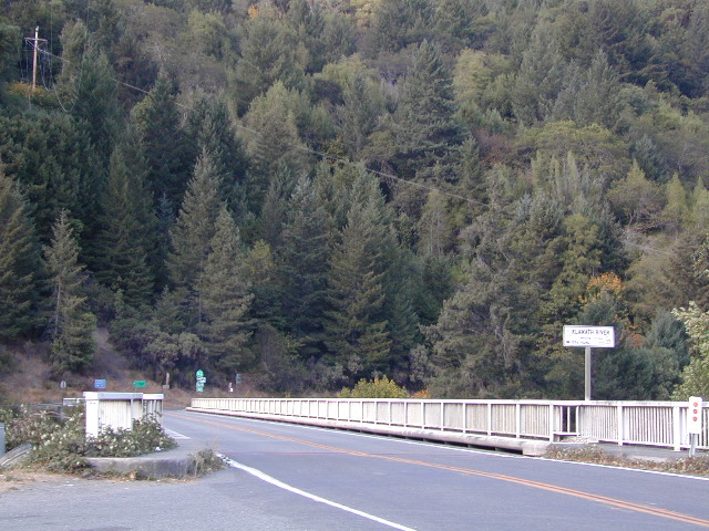
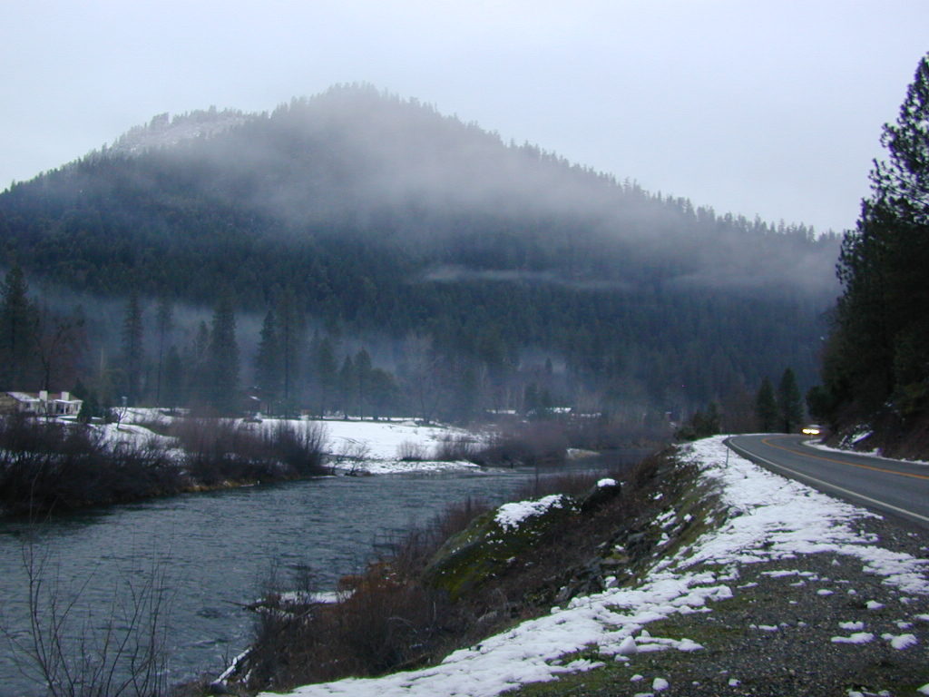
NorCal river renowned for fishing = salmon and steelhead

The river is easily accessible off of Highway 96 w/ boat ramps, trailhead parking and campgrounds located nearby.

Klamath River flows down into California from Klamath Falls, Oregon. Many feeder streams and rivers join the big river – Shasta River, Scott River, Salmon River, and it takes a sharp turn north again where the Trinity River joins it from the south.  Copco and Iron Gate Dam located at the Oregon border, plus Upper Klamath Lake, north of the state line, are the significant dams along this river.

This area is the last hold-out for tribal members of

Hoopa Valley Tribe
Lucky Bear Casino

towns along this river –

Free Camping on Klamath River

Dispersed camping outside of developed campgrounds. Fire permits are required during fire restrictions. Call for more info Orleans Ranger District at 530-627-3291

Aikens Creek West Campground, Road #10N75
No fee. Open all year. No reservations. No services. Trailer spaces available. Maximum trailer length 35′

Ten Bear Trailhead
No fee. Dispersed camping area w/ several corrals, water for animals, and 2 campsites; pefect hunter’s camp. At the hiking trailhead for Ten Bear trail, in the Marble Mountains Wilderness.

orleanswithsnow
Orleans with Snow

Ti-bar, North of Orleans, CA
No fee. Heavy use. Ti-bar River Access offers a paved road to excellent dispersed camping with picnic tables, camp fire rings, a vault toilet and information kiosk. Gravel, steep boat ramp; 4WD may be needed to launch boats.

boatramp

hoopasign
Klamath in 2002 – would you look at those gas prices!


pearsons


januarysnow
January snow near Happy Camp, CA

Smith River Recreation Area

Doe Flat Trailhead, Road #16N02
Trail Parking @ elevation: 4500′
3 campsites and a vault toilet

Dry Lake, County Road 405.
No fee. Open all year.  Tent camping, Vault toilet. Good fishing.


USFS

KLAMATH RIVER CAMPGROUNDS NFS

Orleans and above, Six River National Forest

camp

E-Ne-Nuk Campground, Road #10N70
(also known as just plain “E-Nuk”)
10 sites w/ Overnight fee.
No reservations. Open June-Oct.
Tent and RV Camping,Picnic tables, Vault toilet.

Pearch Creek Campground, Pearch Creek Road #11N62
10 sites w/ Overnight fee.
Reservations accepted. Open June-Oct.
Maximum trailer length 30′

Fish Lake Campground, Fish Lake Road# 10N12
24 sites w/ Overnight fee.  Open June-Sept.
Tent camping, RV Camping trailer,Picnic tables, Vault toilet. Maximum trailer length 20′


horseback

CAMPING w/ HORSES
KLAMATH RIVER

Marble Mountains Wilderness

Stanshaw Equestrian Camp & Trailhead
4900′ elev
Dispersed camping; No fee. Excellent base camp for equestrian recreationists heading out on the Stanshaw Trail in the Marble Mountains Wilderness Area. One restroom, 5 large campsites with picnic tables, fire rings; corrals with running water for animals.

Ten Bear Trailhead
No fee. Dispersed camping area w/ several corrals, water for animals, and 2 campsites; pefect hunter’s camp. At the hiking trailhead for Ten Bear trail, in the Marble Mountains Wilderness.

canoe

dustingnewyear
Snow levels can reach the river in Northern California

see also – Salmon River

Salmon River California


salmon river
Photo Credit Erik Meldrum

Salmon River, California
Forks of the Salmon

CAL SALMON – a 19.6-mile long tributary to the Klamath River, located in western Siskiyou County, CA

One of the most remote & biologically intact watersheds left inside California. The headwaters of the Salmon River flow from the Trinity Alps, Marble Mountains, and the Russian Wilderness Areas. 850,000 acres of Wilderness surrounding the Salmon River watershed.

There’s another Salmon River in Idaho, but this page deals with the Northern California river, dubbed “Cal Salmon” with emerald green waters and lush fern-filled canyons w/ a granite inner gorge.canoe

You gotta know how to read a map if you wanna find this hidden gem. Highly sought after destination for river fishing, whitewater rafting and river kayaking. Rapids! With a short rafting season (March-June)

This is a place for those who love seclusion. It’s kinda far for most people to drive here. The NorCal river region is a prime secret spot for true nature lovers: campers, hikers, fishermen, river rafters, kayakers, mountain bikers, backpackers, birdwatchers and horse enthusiasts. Summer is the busiest time and of course, the best weather. The remainder of the year, you’ll basically have the place all to yourself. Winters can be wet and sloppy, so don’t get stuck in the mud. Cell phone reception is minimal in these densely forested backwoods.

Rafting, river beaches, kayak spots. Campground camping, RV camping, tent camping, primitive and wilderness too.

hikerA significant part of the Klamath River’s watershed is in the Karuk Tribe’s Ancestral Territory. Karuk Indians have carefully managed their lands through an integrated continuum with the aquatic and terrestrial ecosystem functions for thousands of years. Salmon, or “Ama” in the Karuk language, was a major source of food and spiritual renewal.

Forests & Parks along Salmon River: