Santa Barbara Mountains
Ojai Backpacking, Ventura, CA

64,800 acres
30 miles N of Ojai, CA
Los Padres National Forest
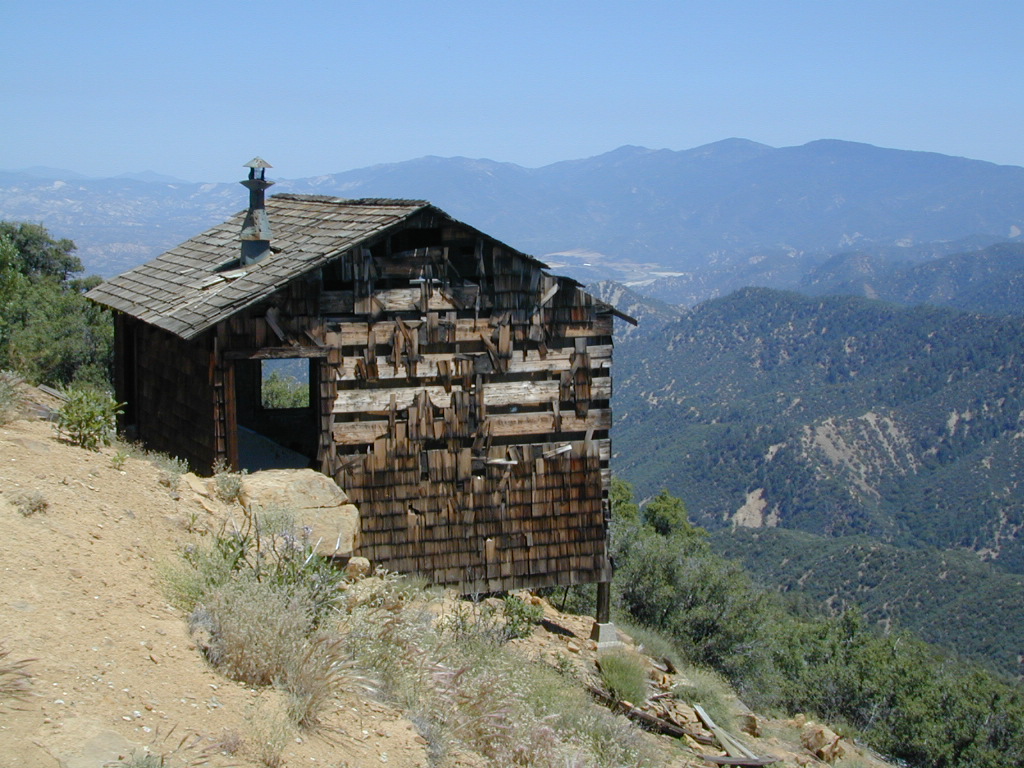
Dick Smith Wilderness
- backpacking
- camping
- hang gliding
- hiking
- horseback riding
- parasailing
- OHV trails nearby
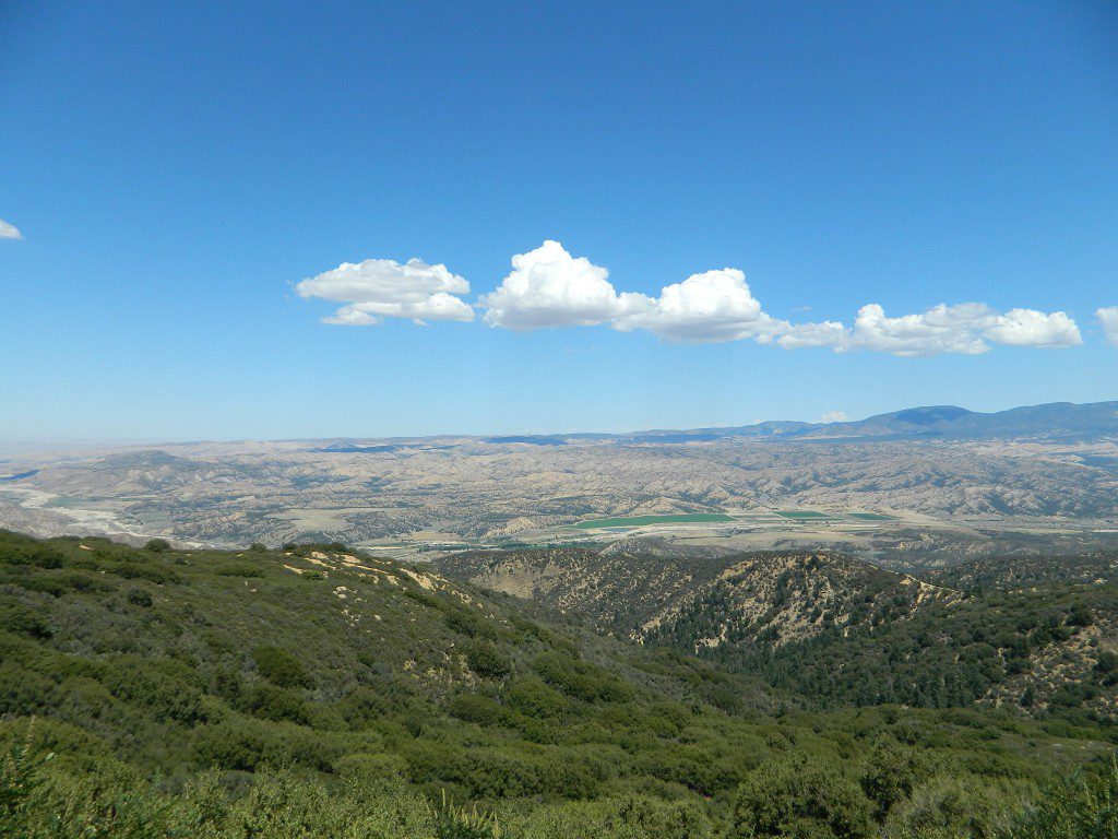
Los Padres National Forest – Located in between the Santa Barbara coastline and the Cuyama Valley, this coastal wilderness area is situated miles north of Ojai, off Highway 33.
The Dick Smith Wilderness is where the San Rafael Mountains and the Sierra Madre Mountains merge on the east side, next to Pine Mountain Summit (elevation 5080′ @ highway).
This PINE MTN turn off should not to be confused w/ the Pine Mountain Club, on the north side of Cerro Noroeste.
Significant mountain peaks within Dick Smith Wilderness Area:
Big Pine Mountain – 6828′ elevation
Cuyama Peak – 5875′
Lizard Head – 5350′
Madulce Peak – 6536′
Samon Peak – 6527′
Closer to Ojai, Matilija Wilderness is on the southern boundary of DickSmith and the San Rafael Wilderness sits to the west side. Native American petroglyphs can be found in this mountainous region. Access to “Painted Rock” on the Sierra Madre ridge, via Road #32S13 (which has a locked gate on both ends), is a long one so you might want to bring the mountain bike. The dirt road hike is about 10 miles (one way) and it starts at the Santa Barbara Canyon trailhead. If you plan to visit the rock art from the west side – take the dirt road up past Bates Canyon Campground. The turn off on Hwy 166 is called Cottonwood Canyon. Park at the hog pen trailhead and follow Road #32S13 for miles.
- Chorro Grande (Hwy 33)
- Potrero Seco (Hwy 33)
- Santa Barbara Canyon (Hwy 166)
area campgrounds –
- Nettle Springs
- Ozena
- Pine Mountain (dispersed)
- Rancho Nuevo
- Reyes Creek NFS
- Reyes Peak
- Tinta
nearby towns –
more Ojai camping
![]()


