Tag Archives: kayaking

Yuba River California

unionflatyuba
North fork Yuba River @ Union Flat Campground

Yuba River

Northern Sierra Nevada Mountains
Tahoe National Forest
North Gold Country @ Historic Highway 49
Marysville, California

Historic ‘gold rush’ mining camps and towns line this popular recreation river in the Northern Sierra. Numerous State Parks, museums, and campgrounds can be found along this route, in which Tahoe National Forest land encompasses the whole region.

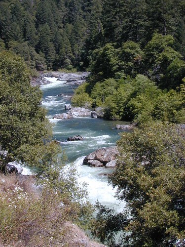
North fork of the Yuba River lines Historic Highway 49, on the way to Downieville and Sierra City, CA. Plenty of camping in these parts.  Lakes Basin Recreation Area  is located up behind the impressive granite spires called Sierra Buttes and this area is the headwaters for this portion of the river.

New Bullards Bar Reservoir is also located in these parts, and offers camping and boating w/ very limited shoreline access.

Middle fork of the Yuba River cuts through the residential mountain community on Moonshine Road, and ends up in Lake Bullards Bar; The rest of the middle fork flows through remote forest lands and is only crossed by one dirt road #191 in Tahoe NF.

South fork of the Yuba River flows from the far heights of Donner Pass and I-80; near Lake Spaulding. Passing Washington Ridge; northeast of Nevada City; and North Bloomfield @ Malakoff Diggins continuing down to Bridgeport @ South YUBA – where the longest wooden, covered bridge is located. Numerous old, one-lane bridges cross this southern fork of the river, and the region can take years to explore. Lots of residential and private properties.

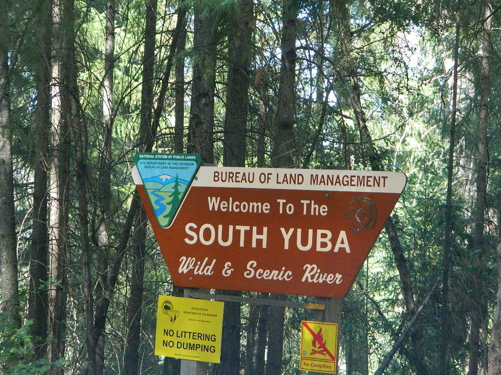
Bureau of Land Management (BLM) has a campground way back here, the CHEAPEST CAMP around; Look for signs, along the dusty North Bloomfield Rd (graded dirt road) about a mile UP hill from rickety Edwards Crossing (pictured below).
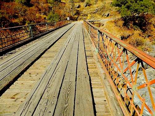
edx1898_sm
Edwards Crossing Bridge, built 1898

soyubaBLMsign

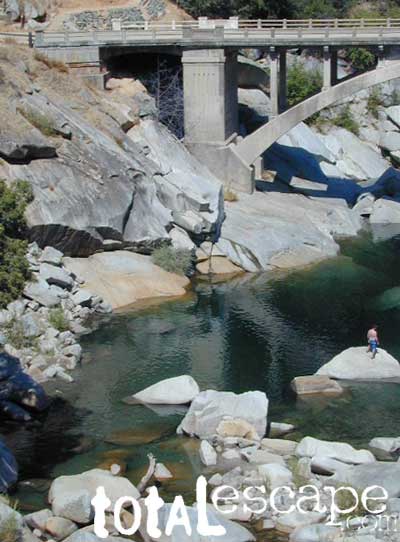
South Yuba State Park, located along the Golden Chain Hwy 49, is a short drive up Hwy 4 from Nevada City and a very popular spot for sightseeing, day hiking, backpacking, mountain biking and riverside picnics. The parking lot at the large curved bridge fills up fast, daily. Pedestrians and hikers are always seen here, so slow down driving along this portion of the highway.

The big river forks all join west of Grass Valley, heading down the mountains, paralleling Hwy 20 to Marysville, CA
northyuba
North Yuba near Downieville, CA

Yuba River Recreation

Backpackinghiker
Camping
Fishing
Hiking
Kayaking
Reservoirs

Mining History
Mountain Biking

Off-Roading
Picnics

Rafting
Tubing
Sightseeing

Forests, Lakes & Parks along this River:

Tahoe National Forest
Lakes Basin Recreation Area
Malakoff Diggins State Historic Park
BLM South Yuba Recreation
Bridgeport Covered Bridge
Kentucky Mine Museum
Lakes Basin Recreation Area
New Bullards Bar Reservoir
Englebright Lake
South Yuba River State Parkyubariver
Yuba River Camping

Campgrounds along Yuba River:camp

Fiddle Creek Campground
Indian Valley Campground
Rocky Rest Campground
Ramshorn Campground
Union Flat Campground
Loganville Campground
Wild Plum Campground
Malakoff Diggins State Historic Park
Chute Hill (Shooter Hill Campground)
South Yuba BLM Campground

Lakes Basin Campgrounds: Gold Lake, Sardine, Salmon, Snag, Goose, Packer, Long, Big Bear, Jamison, Smith
MainStreet
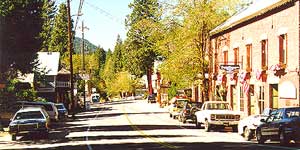
Main Street in Sierra City, CA

The historic river town of Sierra City is defined by the North Yuba River that cuts through the granite, forested canyon. Granite towers above and snow is around more than half the year.

The river is free-running up here; Sierra City is only about 10 miles below the headwaters of the Yuba, at Lakes Basin Gold Lake California. In spring, runoff is pure Class 5 whitewater. Wild Plum Campground is walking distance to town.

camptruckFree primitive camping on dirt roads, can be found way up near the Bassetts intersection. Opposite from Gold Lake Hwy – turn RIGHT (south) on to logging roads: Forest Rd #54 (long ridge route, all dirt) and club into the forest. Drive a several miles up to any large dirt pulls out. Passenger car accessible road; No low riders. Carry a good forest map. Many primitive camp spots have wide openings with views of the Sierra Buttes and crystal clear night skies. Wind can get bad on this mountain ridge, so pick your camp spot with that in mind.

Epic view camp – or expensive river camp? (you choose). Campfire permit are required for camping outside of developed campgrounds. Bring your own water and shovel!
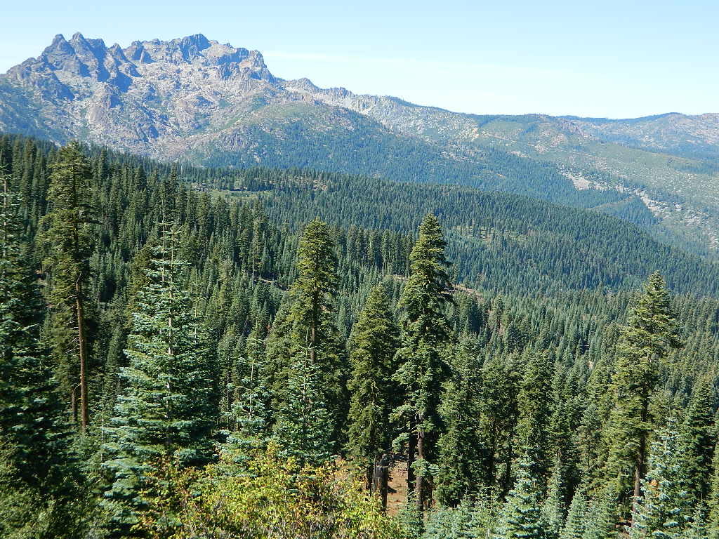
sierra buttes
Looking North to Sierra Buttes

Towns nearby & along Yuba River:

Allegheny, CA
Bridgeport, CA
Brown’s Valley
Downieville, CA
Goodyears Bar
Gold Lake California

Marysville, CA
Nevada City, CA
North Bloomfield
North San Juan
Sierra City, CA
Yuba City, CA
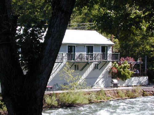
downierivers
Downieville, CA
southyubariver
south yuba river map USDA

Maps near this River:

Tahoe National Forest Map
South Yuba River Map
Lakes Basin Recreation Map
NatGeo Sierra Buttes Map
Tahoe Forest 4×4 Guide
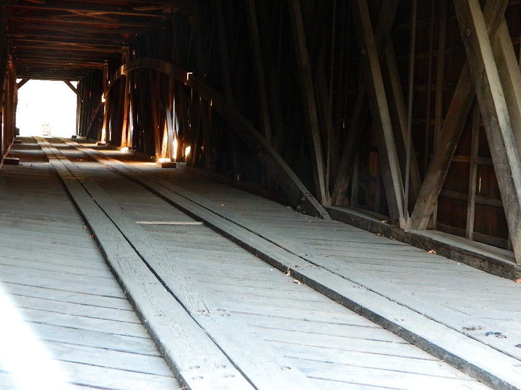
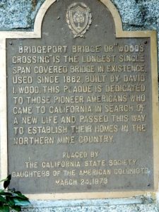
bridgeportint
Bridgeport Covered Bridge, South Yuba River SP
bridgeportplaq
CLICK IMAGE TO ENLARGE
southyubariver
South Yuba River, California

Klamath River California

klamathriver

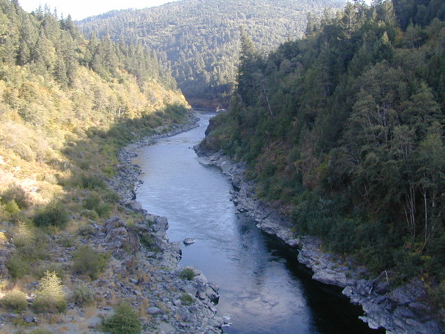
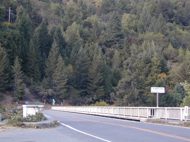
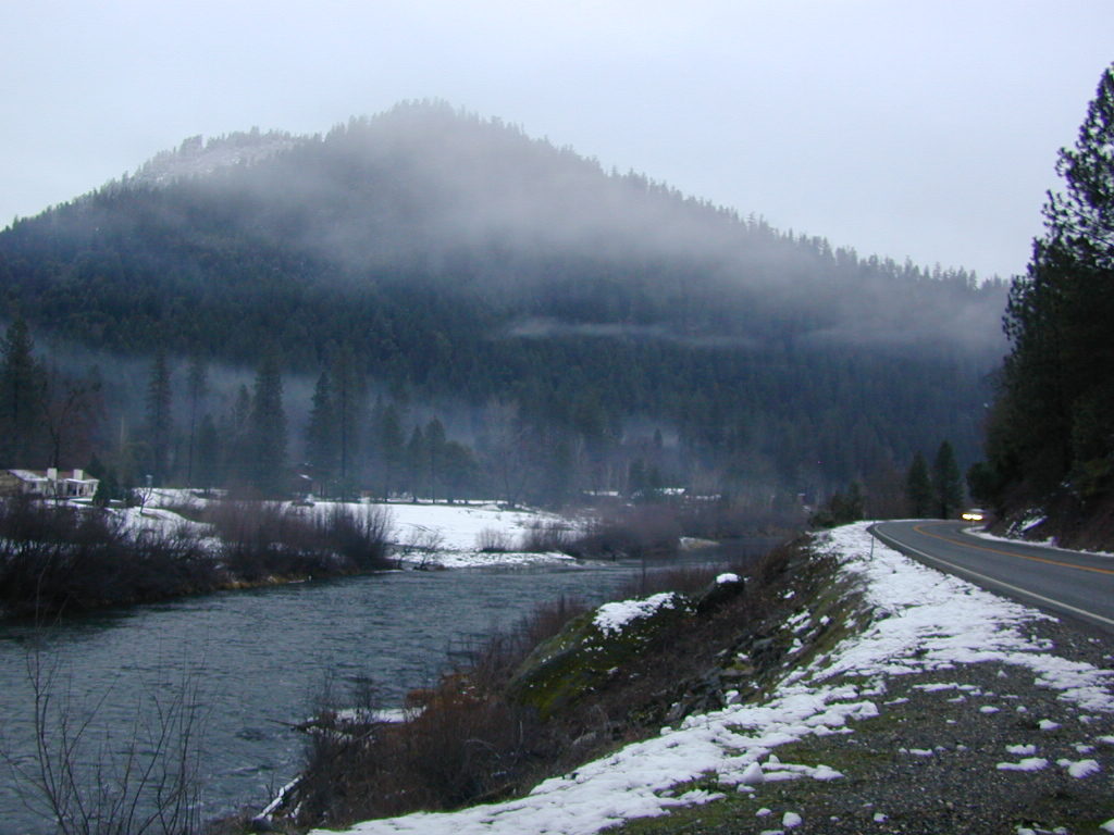
Klamath River, Northern California

The spectacular Klamath River is both the second largest and second longest river in California, making its way through over 250 miles both the Cascade and Coast Mountain Ranges. It’s one of the most important rivers in the U.S. for fish migration.hiker

  • backpack
  • boat
  • camp
  • canoe
  • fish
  • float
  • kayak
  • raft

fishNorCal river renowned for fishing = salmon and steelhead
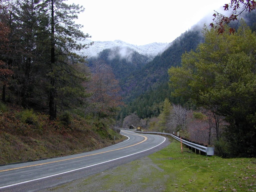
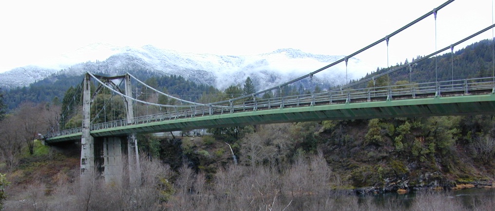
The river is easily accessible off of Highway 96 w/ boat ramps, trailhead parking and campgrounds located nearby.

Klamath River flows down into California from Klamath Falls, Oregon. Many feeder streams and rivers join the big river – Shasta River, Scott River, Salmon River, and it takes a sharp turn north again where the Trinity River joins it from the south.  Copco and Iron Gate Dam located at the Oregon border, plus Upper Klamath Lake, north of the state line, are the significant dams along this river.

This area is the last hold-out for tribal members of

Hoopa Valley Tribe
Lucky Bear Casino

towns along this river –

Free Camping on Klamath River

Dispersed camping outside of developed campgrounds. Fire permits are required during fire restrictions. Call for more info Orleans Ranger District at 530-627-3291

Aikens Creek West Campground, Road #10N75
No fee. Open all year. No reservations. No services. Trailer spaces available. Maximum trailer length 35′

Ten Bear Trailhead
No fee. Dispersed camping area w/ several corrals, water for animals, and 2 campsites; pefect hunter’s camp. At the hiking trailhead for Ten Bear trail, in the Marble Mountains Wilderness.

orleanswithsnow
Orleans with Snow

Ti-bar, North of Orleans, CA
No fee. Heavy use. Ti-bar River Access offers a paved road to excellent dispersed camping with picnic tables, camp fire rings, a vault toilet and information kiosk. Gravel, steep boat ramp; 4WD may be needed to launch boats.

boatramp

hoopasign
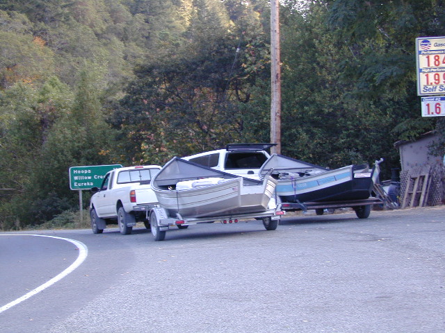
Klamath in 2002 – would you look at those gas prices!


pearsons


januarysnow
January snow near Happy Camp, CA

Smith River Recreation Area

Doe Flat Trailhead, Road #16N02
Trail Parking @ elevation: 4500′
3 campsites and a vault toilet

Dry Lake, County Road 405.
No fee. Open all year.  Tent camping, Vault toilet. Good fishing.


USFS

KLAMATH RIVER CAMPGROUNDS NFS

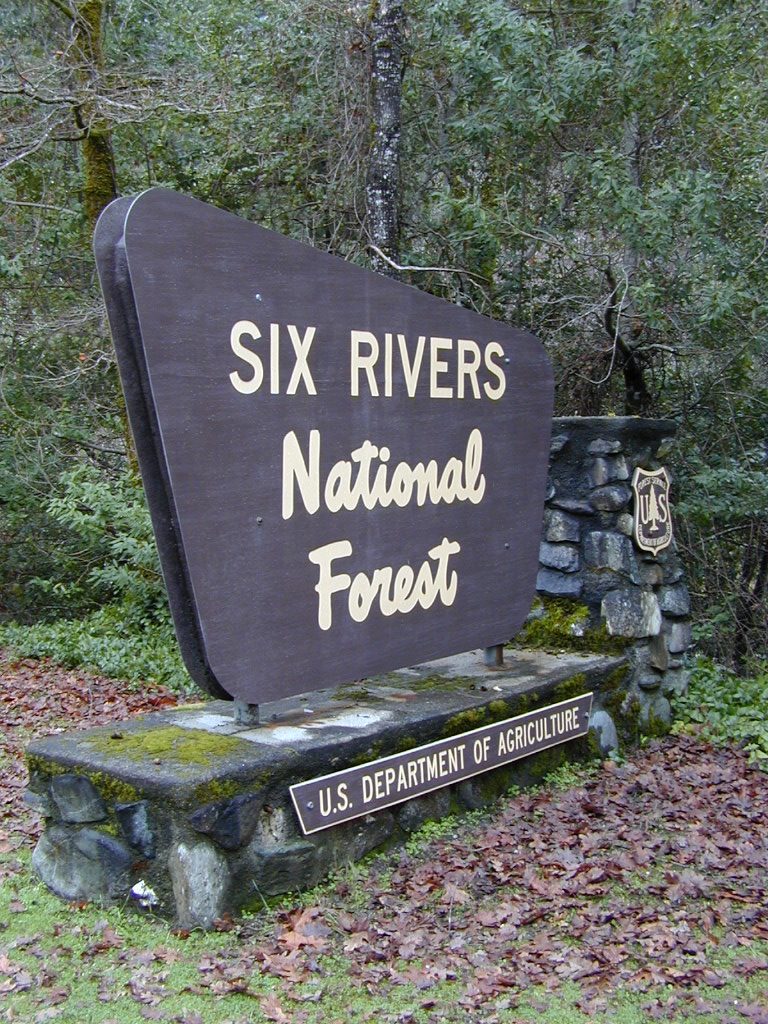
Orleans and above, Six River National Forest

camp

E-Ne-Nuk Campground, Road #10N70
(also known as just plain “E-Nuk”)
10 sites w/ Overnight fee.
No reservations. Open June-Oct.
Tent and RV Camping,Picnic tables, Vault toilet.

Pearch Creek Campground, Pearch Creek Road #11N62
10 sites w/ Overnight fee.
Reservations accepted. Open June-Oct.
Maximum trailer length 30′

Fish Lake Campground, Fish Lake Road# 10N12
24 sites w/ Overnight fee.  Open June-Sept.
Tent camping, RV Camping trailer,Picnic tables, Vault toilet. Maximum trailer length 20′


horseback

CAMPING w/ HORSES
KLAMATH RIVER

Marble Mountains Wilderness

Stanshaw Equestrian Camp & Trailhead
4900′ elev
Dispersed camping; No fee. Excellent base camp for equestrian recreationists heading out on the Stanshaw Trail in the Marble Mountains Wilderness Area. One restroom, 5 large campsites with picnic tables, fire rings; corrals with running water for animals.

Ten Bear Trailhead
No fee. Dispersed camping area w/ several corrals, water for animals, and 2 campsites; pefect hunter’s camp. At the hiking trailhead for Ten Bear trail, in the Marble Mountains Wilderness.

canoe

dustingnewyear
Snow levels can reach the river in Northern California

see also – Salmon River

Salmon River California


salmon river
Photo Credit Erik Meldrum

Salmon River, California
Forks of the Salmon

CAL SALMON – a 19.6-mile long tributary to the Klamath River, located in western Siskiyou County, CA

One of the most remote & biologically intact watersheds left inside California. The headwaters of the Salmon River flow from the Trinity Alps, Marble Mountains, and the Russian Wilderness Areas. 850,000 acres of Wilderness surrounding the Salmon River watershed.

There’s another Salmon River in Idaho, but this page deals with the Northern California river, dubbed “Cal Salmon” with emerald green waters and lush fern-filled canyons w/ a granite inner gorge.canoe

You gotta know how to read a map if you wanna find this hidden gem. Highly sought after destination for river fishing, whitewater rafting and river kayaking. Rapids! With a short rafting season (March-June)

This is a place for those who love seclusion. It’s kinda far for most people to drive here. The NorCal river region is a prime secret spot for true nature lovers: campers, hikers, fishermen, river rafters, kayakers, mountain bikers, backpackers, birdwatchers and horse enthusiasts. Summer is the busiest time and of course, the best weather. The remainder of the year, you’ll basically have the place all to yourself. Winters can be wet and sloppy, so don’t get stuck in the mud. Cell phone reception is minimal in these densely forested backwoods.

Rafting, river beaches, kayak spots. Campground camping, RV camping, tent camping, primitive and wilderness too.

hikerA significant part of the Klamath River’s watershed is in the Karuk Tribe’s Ancestral Territory. Karuk Indians have carefully managed their lands through an integrated continuum with the aquatic and terrestrial ecosystem functions for thousands of years. Salmon, or “Ama” in the Karuk language, was a major source of food and spiritual renewal.

Forests & Parks along Salmon River: