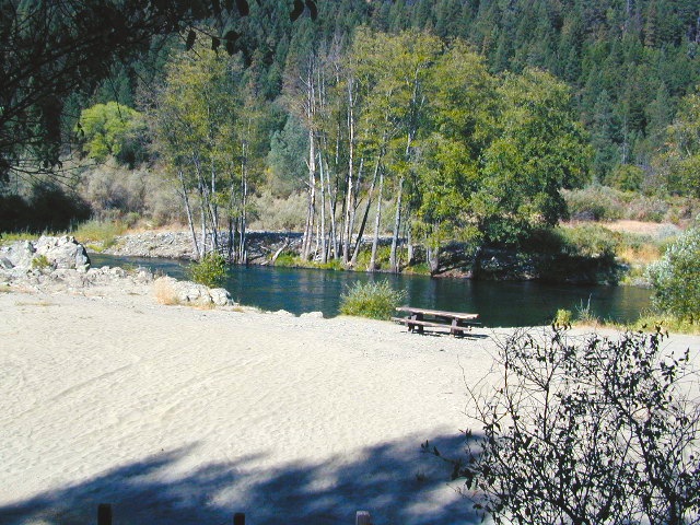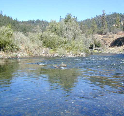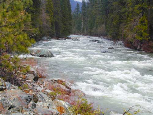
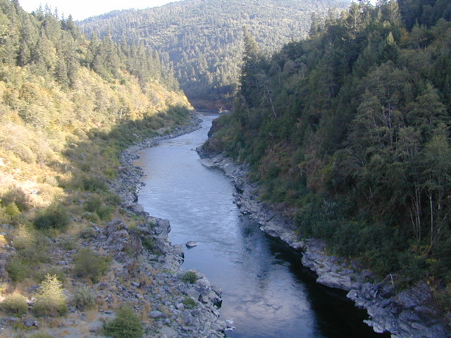
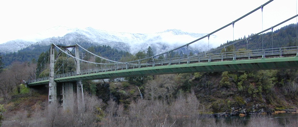
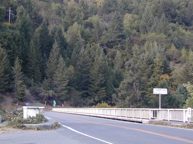
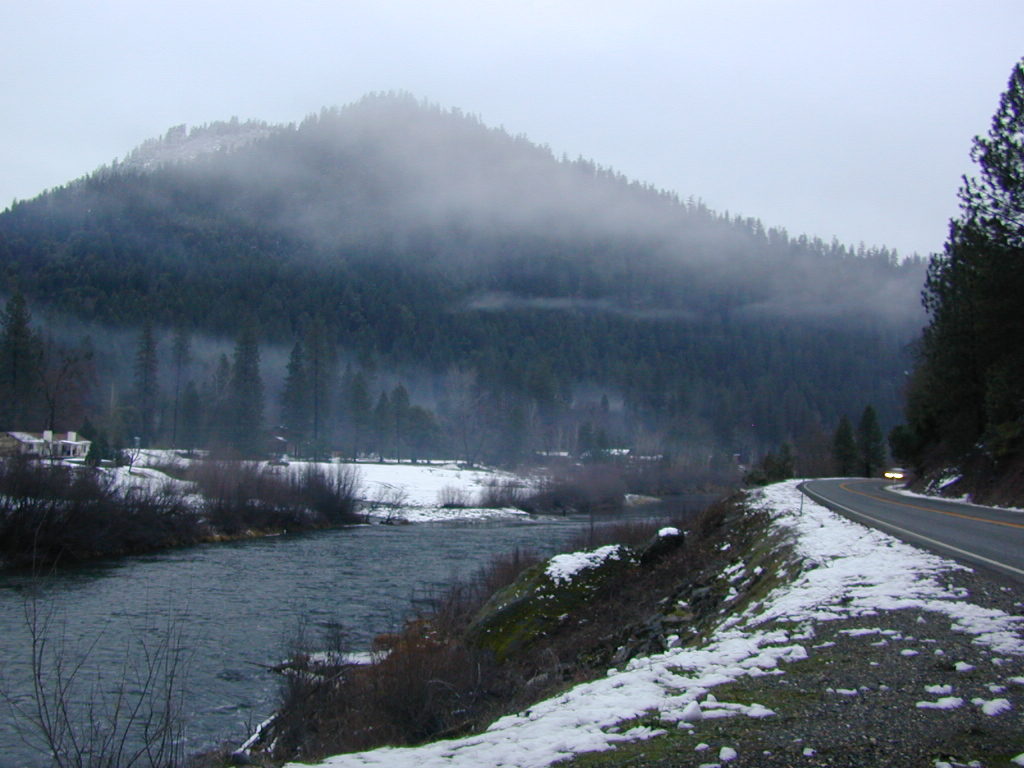
Klamath River, Northern California
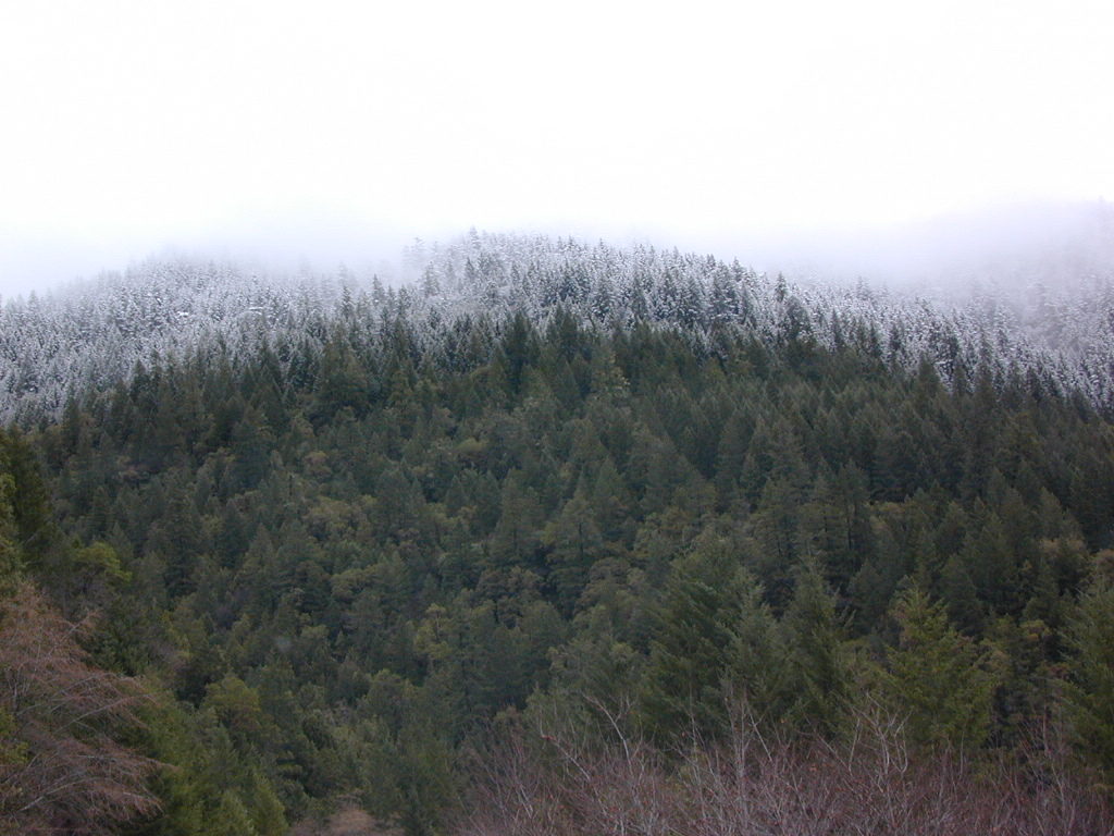
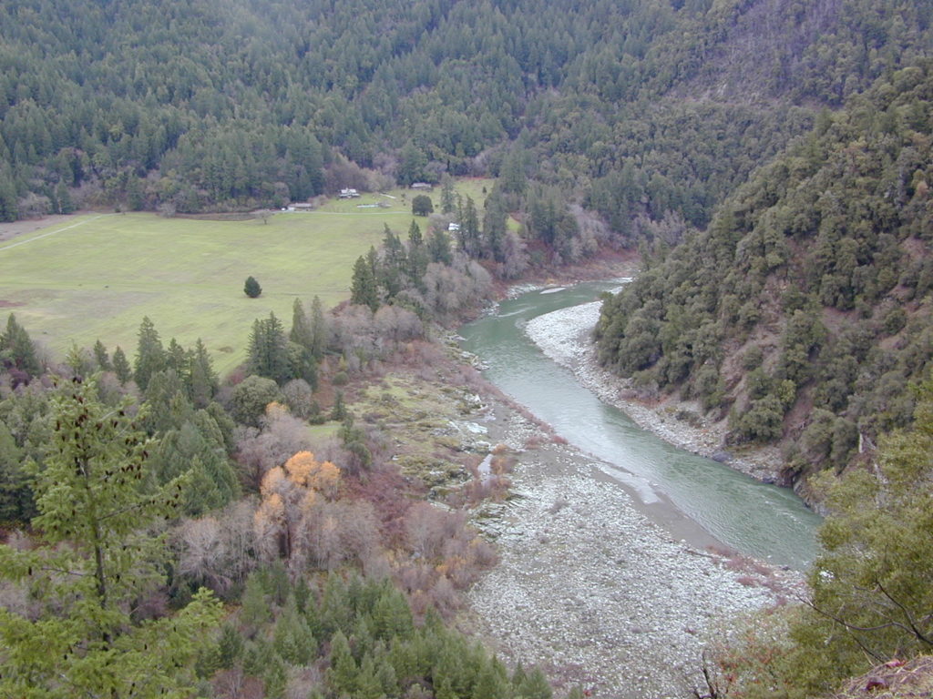
The spectacular Klamath River is both the second largest and second longest river in California, making its way through over 250 miles both the Cascade and Coast Mountain Ranges. It’s one of the most important rivers in the U.S. for fish migration.
- backpack
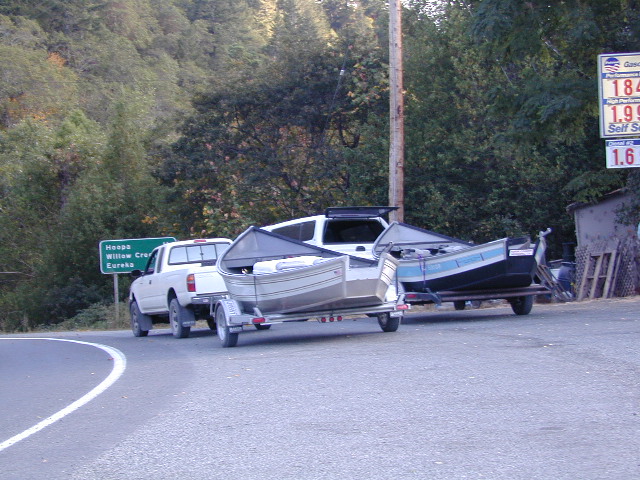
- boat
- camp
- canoe
- fish
- float
- kayak
- raft
 NorCal river renowned for fishing = salmon and steelhead
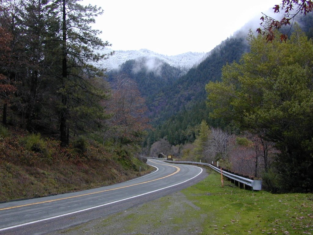
The river is easily accessible off of Highway 96 w/ boat ramps, trailhead parking and campgrounds located nearby.
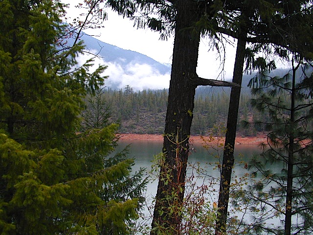
Klamath River flows down into California from Klamath Falls, Oregon. Many feeder streams and rivers join the big river – Shasta River, Scott River, Salmon River, and it takes a sharp turn north again where the Trinity River joins it from the south. Copco and Iron Gate Dam located at the Oregon border, plus Upper Klamath Lake, north of the state line, are the significant dams along this river.
This area is the last hold-out for tribal members of
Hoopa Valley Tribe
Lucky Bear Casino
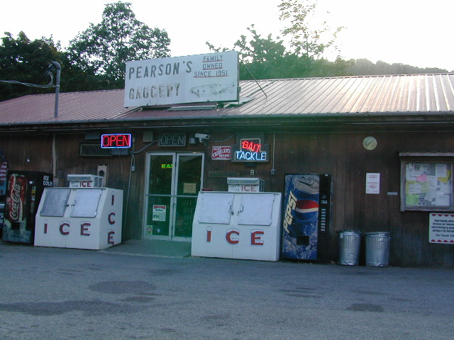
towns along this river –
- Orleans, CA
- Hoopa, CA
- Happy Camp, CA
- Some’s Bar
- Klamath River, CA
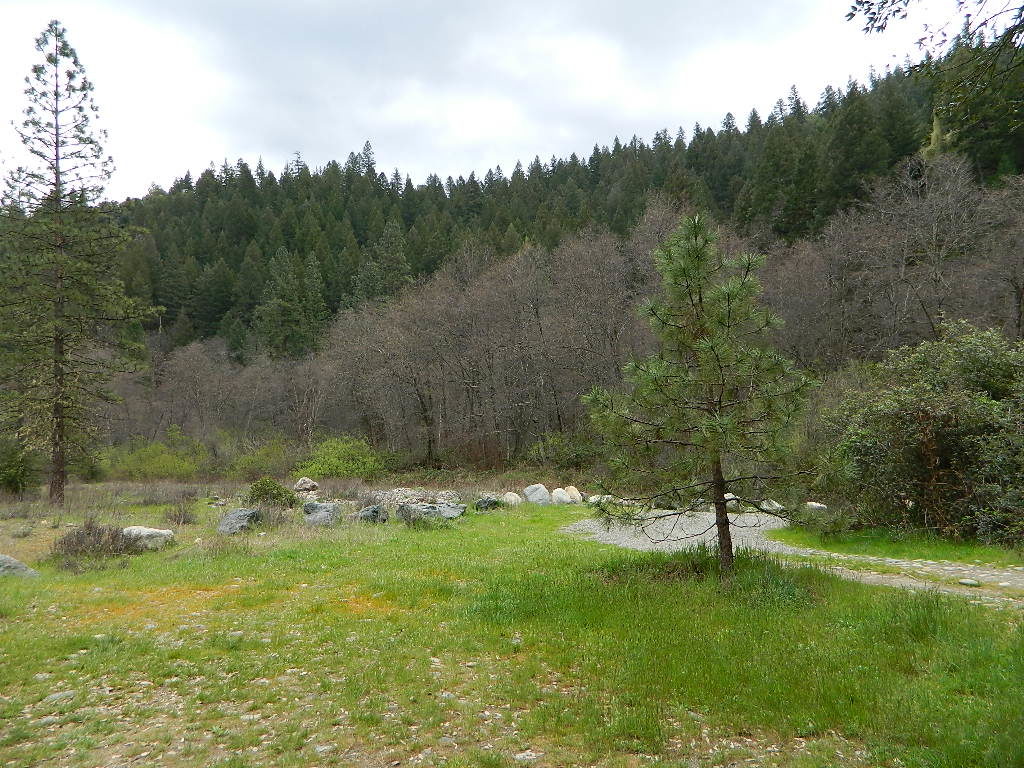
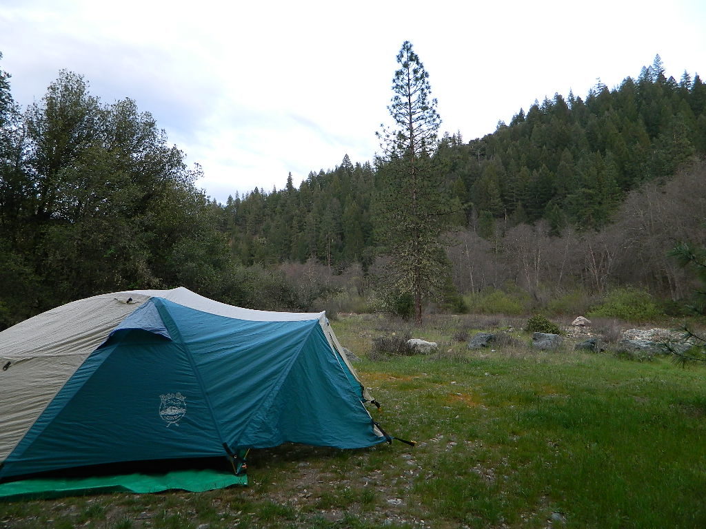
Free Camping on Klamath River
Dispersed camping outside of developed campgrounds. Fire permits are required during fire restrictions. Call for more info Orleans Ranger District at 530-627-3291
Aikens Creek West Campground, Road #10N75
No fee. Open all year. No reservations. No services. Trailer spaces available. Maximum trailer length 35′
Ten Bear Trailhead
No fee. Dispersed camping area w/ several corrals, water for animals, and 2 campsites; pefect hunter’s camp. At the hiking trailhead for Ten Bear trail, in the Marble Mountains Wilderness.
Ti-bar, North of Orleans, CA
No fee. Heavy use. Ti-bar River Access offers a paved road to excellent dispersed camping with picnic tables, camp fire rings, a vault toilet and information kiosk. Gravel, steep boat ramp; 4WD may be needed to launch boats.

Smith River Recreation Area
Doe Flat Trailhead, Road #16N02
Trail Parking @ elevation: 4500′
3 campsites and a vault toilet
Dry Lake, County Road 405.
No fee. Open all year. Tent camping, Vault toilet. Good fishing.

KLAMATH RIVER CAMPGROUNDS NFS
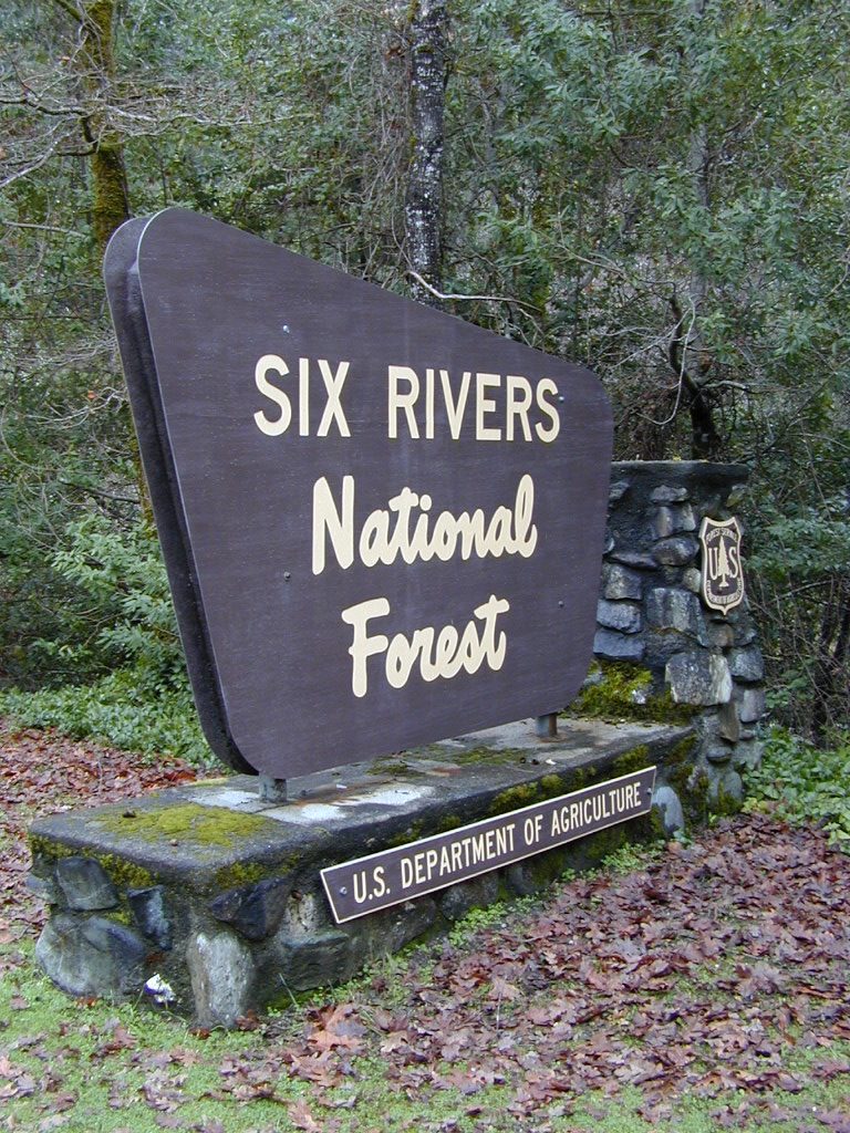
Orleans and above, Six River National Forest

E-Ne-Nuk Campground, Road #10N70
(also known as just plain “E-Nuk”)
10 sites w/ Overnight fee.
No reservations. Open June-Oct.
Tent and RV Camping,Picnic tables, Vault toilet.

Pearch Creek Campground, Pearch Creek Road #11N62
10 sites w/ Overnight fee.
Reservations accepted. Open June-Oct.
Maximum trailer length 30′
Fish Lake Campground, Fish Lake Road# 10N12
24 sites w/ Overnight fee. Open June-Sept.
Tent camping, RV Camping trailer,Picnic tables, Vault toilet. Maximum trailer length 20′

CAMPING w/ HORSES
KLAMATH RIVER
Stanshaw Equestrian Camp & Trailhead
4900′ elev
Dispersed camping; No fee. Excellent base camp for equestrian recreationists heading out on the Stanshaw Trail in the Marble Mountains Wilderness Area. One restroom, 5 large campsites with picnic tables, fire rings; corrals with running water for animals.
Ten Bear Trailhead
No fee. Dispersed camping area w/ several corrals, water for animals, and 2 campsites; pefect hunter’s camp. At the hiking trailhead for Ten Bear trail, in the Marble Mountains Wilderness.