Tag Archives: hike

Calaveras Big Trees

BigTreeMatt

California State Park system manages this Gold Country Sequoia grove, called Calaveras Big Trees

Calaveras State Park
1170 Highway 4
Arnold, CA 95223

4 miles northeast of Arnold on California Highway 4, Ebbetts Pass

elevation: 4800′
6073 acres

Park Hours
Day Use: Sunrise to Sunset

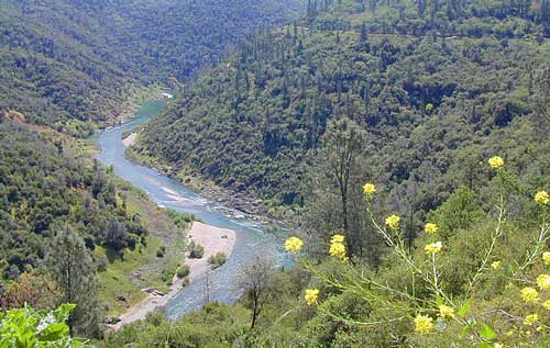
Stanislaus River and Sequoia Groves
+ 2 developed campgrounds

Park Headquarters
209-795-2334

Visitors Center
209-795-3840

Calaveras is a small but popular Sequoia Park in the Gold Rush foothill country of the western Sierra Nevada Mountains. Large Sequoia redwood trees, Visitors Center, nature trails, 2 large campgrounds, Stanislaus River access, hiking trailheads and picnic spots. Summer and weekends are usually busy. Plan your visit on weekdays or off-season for less crowds.

Park is open during the winter, but expect rain or snow. Sledding is allowed in the State Park during decent snowfall. Snow chains or 4WD may be needed to reach this location during winter months.
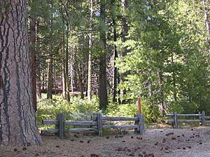
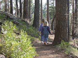
fenceline

toddlers
Photo Credit © Mike Rother

Calaveras Recreation 

Cabin Rentals & Campgrounds
Calaveras has rustic cabin rentals

Fishing
Stanisalus River
Beaver Creek

Hiking
Nature trails near Sequoia groves; Day  hiking throughout park
stanislaus
Stanislaus NF Map

Horses
May-October
Horseback tours
& stagecoach rides

Mountain Biking
on bike routes and roads only

Winter Skiing
Cottage Springs
nearby

Calaveras Backpacking

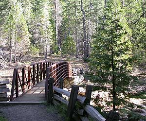
footbridge
Photo Credit © Mike Rother

This park has nature trails, hiking trails , dirt roads and bike routes.

No trails in the State Park connect to outer wilderness areas or forest.

For backcountry camping on foot, you’ll need to drive into the National Forest and locate a trailhead. Obtain wilderness permit ahead of time at the USFS ranger station in Hathaway Pines, CA

NFS

Stanislaus National Forest
Calaveras Ranger Station USFS
ranger
5519 Highway 4
Hathaway Pines, CA 95233
Phone: 209-795-1381

Closest wilderness areas to Calaveras SP:
StanislausTopoAtlas
Stanislaus Topo Atlas

Calaveras CampgroundsRV camping Sonora

2 large developed campgrounds with  flush toilets.camp
Campgrounds open March- November. Max RV or trailer = 30′
(camp reservations  accepted)

walk-in camp sites for tents only:
North Grove Environmental
Oak Hollow Environmental North
Oak Hollow Environmental South
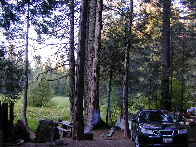
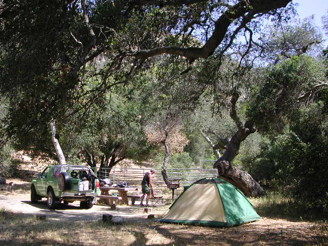
Calaveras Car Camping
Calaveras Car Camping @ North Grove

NFS Camp Sites Nearby

Beaver Creek Campground is located on Beaver Creek, on a dirt back road, way back in there. Past the big river. Just beyond the South Grove trailhead. USDA web site states that this camp is currently closed due to tree hazards. Google Maps has it listed, but the gov web site does not. Call local rangers to find out!

Sourgrass Recreation Area is just north of the State Park. Forest Road #52 will lead to numerous river destinations, camp sites, fishing spots and swimming holes.

Wakalu Hep Yo Campground: Primitive camp; 49 camp sites w/ fee. Pack it in, Pack it out. No garbage services. No reservations. First-come, first-serve. aka Wild River Campground

Big Meadow Campground is a large NFS camp, located right on Highway 4, about 20 miles from Arnold, CA; Large forested camp w/ shade, hiking and fishing closely; North fork of Stanislaus River; Autumn colors in the aspen grove; 68 camp sites, some of which can accommodate RVs. Max length = 27′
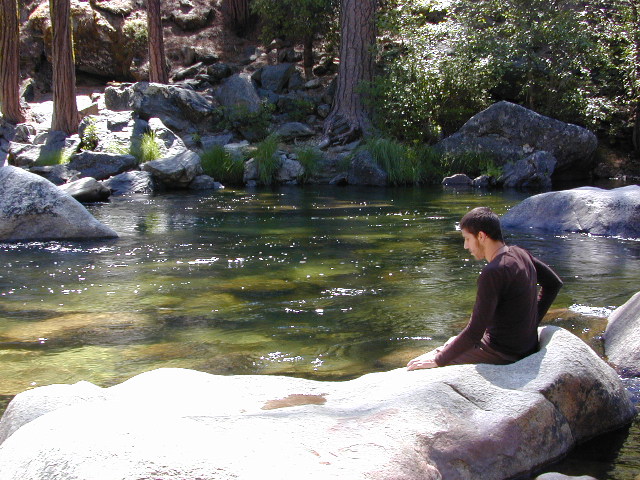
Stanislaus River

Primitive Camp Sites

No primitive camping inside this state park; Campfires are only permitted inside the 2 developed campgrounds.

WALK-IN environmental campsites are available at both of the State Park campgrounds – North Grove & Oak Hollow.

campfireFor car camping and free of charge camping spots, you’ll need to exit the park and start your searching on the back roads, in the neighboring Stanislaus National Forest. First, get a good topo map and try to pick several spots worth exploring. Obtain a campfire permit from the USFS ranger station (Arnold, CA)

Driving dirt roads and looking for a primitive camp site should be accomplished during daylight hours. Arriving at night could pose serious problems, like getting lost, encountering wildlife, settling on a poor place to camp or worst, sleep in your car. Always plan for plenty of time and daylight to find a good (free) camp.

camptruckAcross the Highway (SR 4) from Calaveras State Park a long dirt road ridge line will lead to Railroad Flat –  Forest Service Rd#5N23, Summit Level Road

Just north of Calaveras State Park is a paved road worth checking out – Board Crossing Road #52 becomes Forest Service Rd #5N02
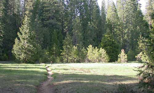
bigtreesmdw

Calaveras Hiking

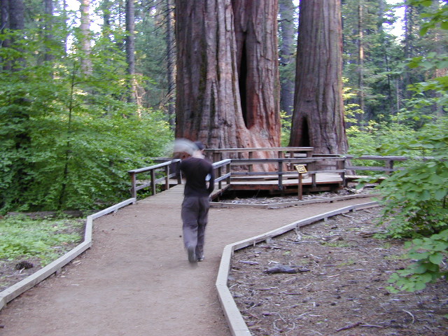
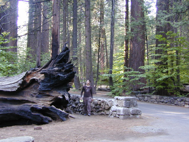
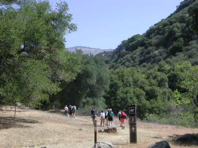
State Park has nature trail around Sequoia grove & guided tours in hikersummer. Day hiking trails throughout the park and fishing trails along the river.

swat
Did we mention that you should always bring the mosquito repellant?

Grove Hike
Hiking around the North Grove

more public lands nearby –
BLM Gold Country
USDA Stanislaus National Forest

Nearby towns w/ lodging:

Angels Camp, CA
Arnold, CA
Dorrington, CA
Murphys, CA
Sonora, CA
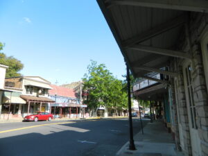
mainstreet2021
Main Street in Angels Camp, CA

American River California

american 1

American River, Central Sierra Nevada

Donner Pass – Gold Country California
El Dorado National Forest
Folsom Lake, Sacramento, CA

This is a major river in the Sierra Nevada landscape, as well as in the Gold Rush history of California. Many mining camps, railways, old abandon mines, dirt roads, hiking trails, mountain biking routes, waterfalls and even ancient artifacts can be found on the back roads. The native tribes once heavily populated these river canyons since the location is ideal, half way between the big mountains and the sunny warm valley.

snowNorth fork of American River drains most of the Donner Pass region, all along Interstate 80. Indian Creek is a feeder stream coming from Sugar Pine Reservoir. No large reservoirs exist along this American North Fork, although there is a wide section of the river, above Auburn, called the North Fork Lake.
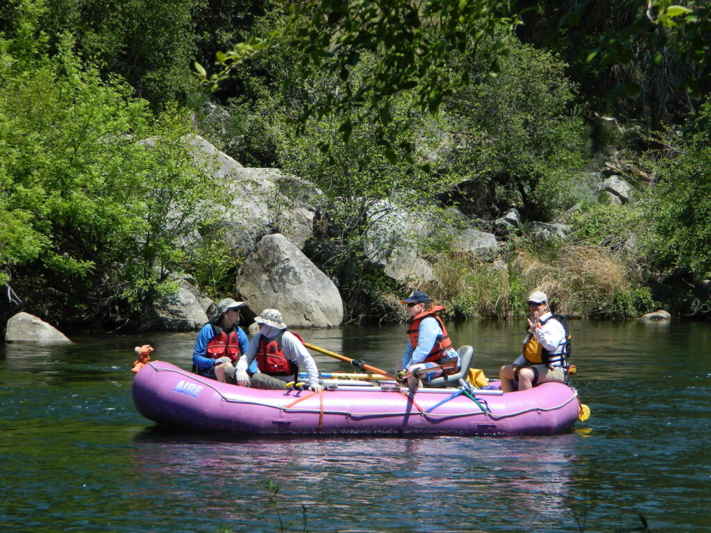
Middle fork of American River comes down from the Granite Cheif Wilderness, next to Lake Tahoe; Foresthill (3225′ elev) is a small mountain community w/ a ranger station; French Meadows Reservoir is way back in there, toward the highest peaks @ 9000′ elevation.

South fork of American River parallels the State Highway 50, which connects Placerville to Lake Tahoe via the Kyburz Pass. Union Valley Reservoir and Ice House Reservoir make up this part of the drainage for abundant snow melt.

The north and middle flows of this river join in Auburn, near the freway @ I-80. The south fork joins the rest downhill in the Central Valley, at Folsom Lake, NW of Sacramento, CA

rapids: turbulent, fast moving water

canoe

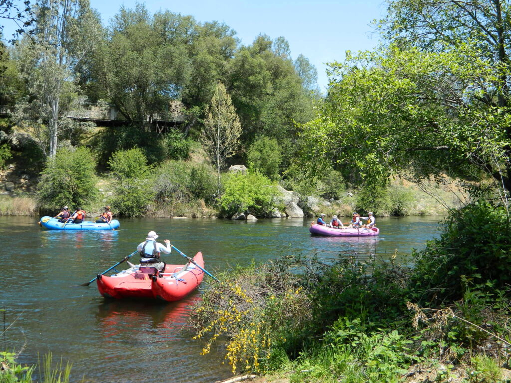
River Rafting on the American River

This is a rapid moving river, with serious force. Not to be taken lightly. Wear life vest and stay alive; Don’t swim in dangerous conditions and spare your life!

Go whitewater river rafting with experienced leaders, who offer professional guide rafting tours. Always wear a life vest in the water. Toying around with an inflatable cheap raft on a big river, can leads to all kinds of trouble.

rafting

American River south fork James W. Marshall discovered gold in January of 1848 on the South Fork of the American River

  • backpackfish
  • camp
  • fish
  • hike
  • kayak
  • mountain bike
  • museums
  • off-road
  • raft
  • swim

Numerous feeder creeks and rivers drain into American River:

  • Indian Creek
  • Owl Creek
  • Pilot Creek
  • Rubicon River
  • Secret Ravine
  • Silver Creek (flows to south fork)
  • Silver Fork of the American River (flows to north fork)

camp

Camping & Campgrounds on the American River

south fork (CA Hwy 49 & US Hwy 50)

middle fork (CA Hwy 49)

north fork (CA Hwy 49 & I-80)

hiker

americanriverabove

Auburn Lodging near the American River with numerous unique overnight options closeby. Colfax, the rail-town up the interstate, also has small motels and inns, most are freeway close. Foresthill is a residential area near the Middle Fork of the American River. Placerville, on the South Fork has more hotel choices. See more on Historic Gold Country


rafters

Towns along American River:

kayaking


Mitchell Caverns

guided cave tour

Mitchell Caverns @ Mojave Desert

Providence Mountains State Recreation Area
surrounded by Mojave NP

hiker

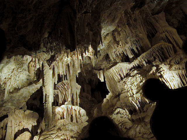
Limestone cave with public tours; entry into Mitchell Caverns is by guided tour only. Wear sturdy shoes, bring water and be prepared for a decent hike.
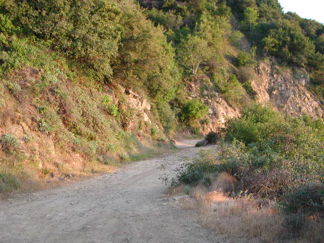
Due to summer heat, this desert park closed for the months of JULY & AUGUST

cave tour reservations:
760-928-2586
(by phone on Mondays 8am-5pm)

walkway

hike up to entrance

queen at mitchell

Mojave Desert National Preserve
Interstate 40 East, exit Essex & take Goffs Rd. down to town. Take right on Essex Rd. going North & continue to Providence Mountain State Recreation Area.

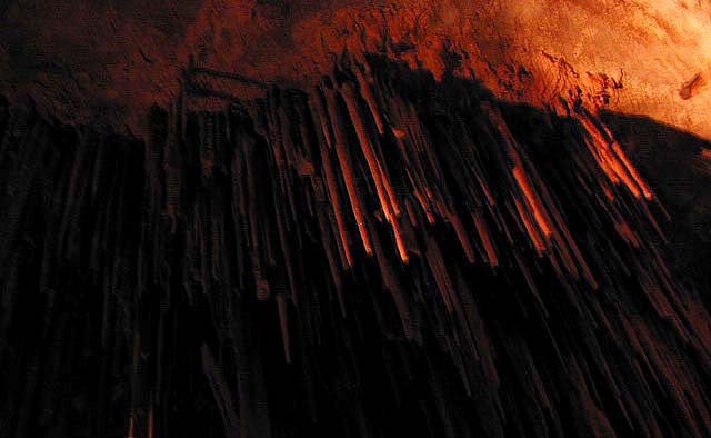
straws at cave

textured rocks

camp
Providence Mountain Campground
now open JAN 2023

providence camp
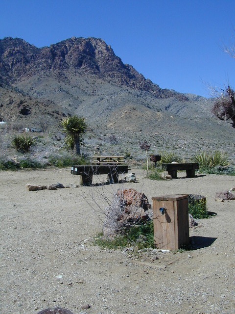
Campground at Providence SRA

camp reservations:
760-928-2586

Check in time is 2pm, check out time is 12pm
Maximum 2 vehicles and 8 people per campsite
Quiet time is 10pm-6am, generators off 8pm-8am

The front gate will close at 9pm. If you expect to arrive after 9pm, call the park office for the gate combination.

Water is scarce at the park. Bring your own water for drinking, washing, and cooking. There is no trash service at the park. Pack it in and Pack it out.

wildflowers

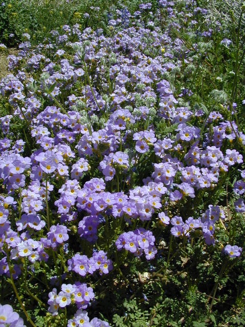
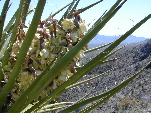
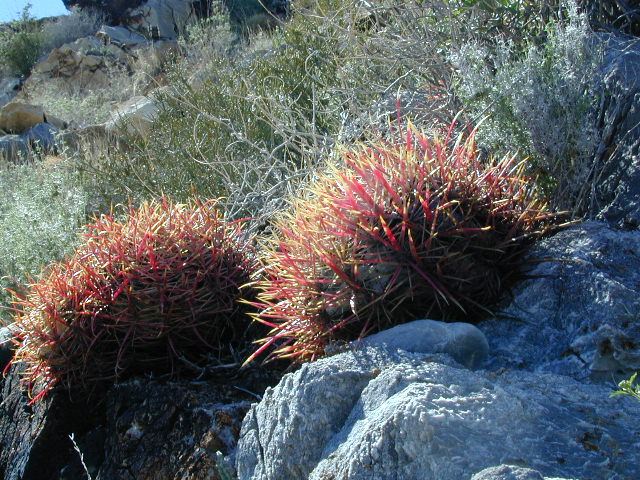
Mojave Desert Wildflowers bloom in early spring. Amazing amount of flora surrounds the park campground: golden poppies, lupine, baby blue eyes, yucca, and barrel cactus (just to name a few)

wildflower

yucca

barrel cacti

Montgomery City

Montgomery Creek Canyon
Montgomery Mining Camp:
Mountain Queen Mine

Montgomery City, California


WHITE PEAK DISTRICT
As with many historic names inside California, this remote location cannot be classified as a ‘city’ in todays terms.  It may have been a notable location back in the early days of early settlement, but it did not last long. Notable producers of this region were the Phoenix Mine and Mountain Queen Mine.
 Desert

terrain: desert mountain peaks

elevation: 6450′

description:miner
Old mining camp near the Nevada state border

location:
Eastern California, on Nevada border
Mono County
NE of Bishop, & 40 mi. SE of Bodie, CA

East of US 395, up Highway 6 @ Benton, turn right / South towards the Benton dump w/ dirt road Inyo Forest Road #1S77 leading up Montgomery Canyon. 4×4 will be needed to drive the dirt access road. Hiking may be required to reach mining ruins.

hiker

Boundary Peak Hike
Boundary Peak Trailhead

area activities:

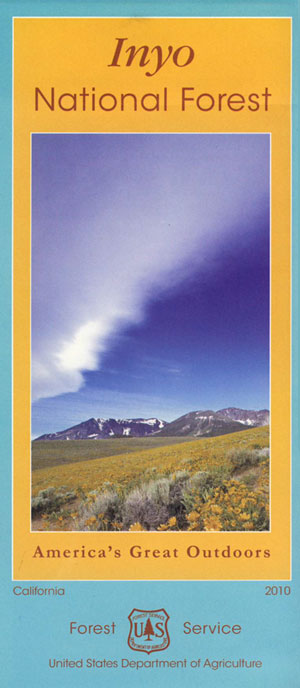
Inyo Mountains Map

When Mono County was still in its infancy, the town of Benton became a destination of miners seeking new strikes, and by 1865 was the county’s largest town.

Miners found ore where perpendicular cliffs of Montgomery Canyon opened onto the alluvial fan. Montgomery City and its mines didn’t thrive for very long and like most operations typical of this era, eventually became an abandoned site.

Circa 1863 and 1864, “some very rich rock was found in Montgomery Canyon, and a tremendous rush and excitement was the consequence. A lively little town of three or four thousand inhabitants at once sprung up, locations were made and mines opened out, and large shipments of rich ore made to San Francisco and other places. I have been told that some of the ore was worth from $2 to $3 a pound; but the ledges were broken on the surface, and apparently gave out, and the excitement soon subsided.”

Montgomery Peak – 13,441′ elev
Mount Dubois – 13,559′
White Mountain Peak – 14,246′

Stone walls can be found within the mining site, located within the drainage of Montgomery Creek. A few old stone cabins hold on to the brink of existence, far up this secluded high desert canyon.

Benton on US Hwy 6 was established as Benton Station in 1880 when the narrow gauge Carson & Colorado Railroad came through the area. Montgomery City is a true ghost town, in every sense of the phrase. Those who make the rough and steep journey to reach this remote location should  be rewarded with an enjoyable day trip.

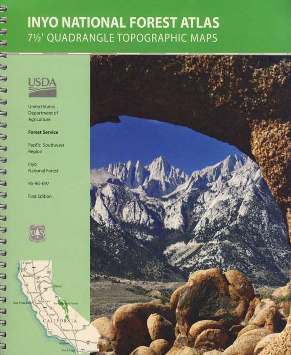
InyoAtlasBackpackers, hikers and off-roaders who plan to explore this region in depth should follow the trailhead link above for GPS points and notes on this canyon. A topographic map of the area would also help in navigation.

4x4

towns nearby:

see also –

Benton Hot Springs

Laws Railroad Museum

Ancient Bristlecone Pines Forest

Baja National Parks

Baja California Mexico

Ranger Station
Is this the Ranger Station?

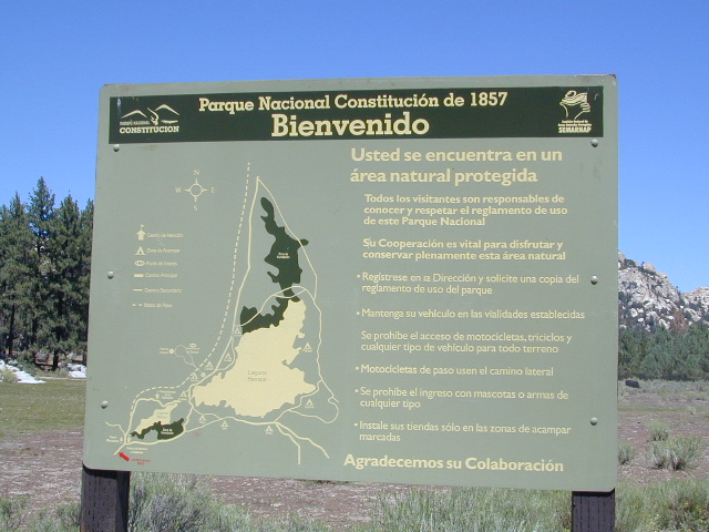
Constitución de 1857 (National Park)

This 13,000-acre park, located in the Sierra Juárez Mountains, has some of the cleanest air on the planet. View deer, bald eagles, pine and oak forest while hiking or camping. Laguna Hanson sits in the middle of the park. Lake fishing for catfish & bass. Granite outcroppings for rock climbers, popular for bouldering. Mountain bike and camping, as well as off roading.

Information Sign
Information Sign

Sierra de San Pedro Mártir (National Park)

This massive range of mountains, 165,000 acres in size, is covered
with pine, oak and madrone forests. Baja’s highest peak at 3,086
meters, Picacho del Diablo resides here. Home to pumas, mountain
lions, bighorn sheep & over 30 species of bats. The region
is the wettest area on the Baja Peninsula, and from October to
May the mountains are covered with snow.

Isla Rasa (Special Biosphere Reserve)

Located in the Gulf of California, this reserve is only 17 acres in size. On this island 90% of the world’s brown sea gulls (larus hermanni) make their nests. Seals and the yellow-footed sea gull also inhabit the area.

El Vizcaíno (Biosphere Reserve)

This reserve is the largest in the world, made up of over six and one half million acres of islands, deserts, and coniferous forests. The gray whale is the reserve’s most interesting inhabitant, where it hibernates and reproduces. Wildlife such as the lynx, puma, red-tail falcon, and white pelican also reside in the unique area.

Isla Guadalupe (Special Biosphere Reserve)

One of the first protected areas of Mexico, this 62,500-acre island in the Pacific Ocean is a prime refuge to sea lions and seals. Unique volcanic geology and specially adapted plants make this reserve a scientist’s paradise.

Isla del Golfo (Special Biosphere Reserve)

Fifty-three islands in the Gulf of California make up this well preserved 375,000-acre reserve. The are is very isolated, making it ideally suited for scientific research and environmental education. Iguanas, lizards, ospreys, sea gulls and cormorant are some of the island’s many inhabitants.

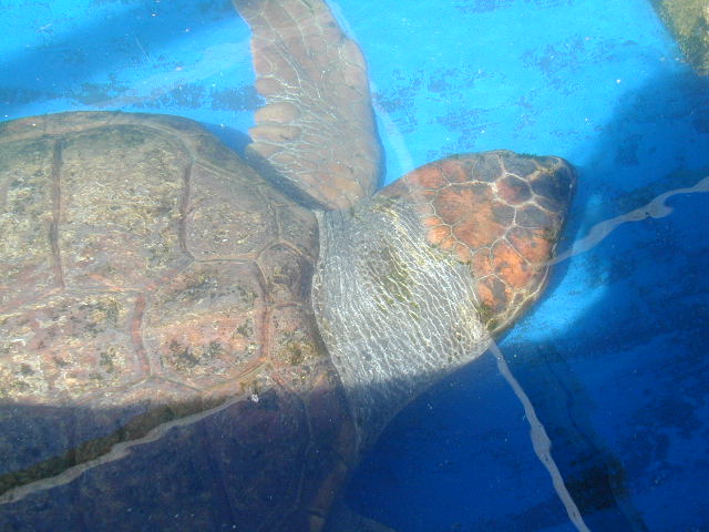
Sea Turtles
Sea Turtles @ Bay of Los Angeles

The Gulf of California
is also referred to as the Sea of Cortez

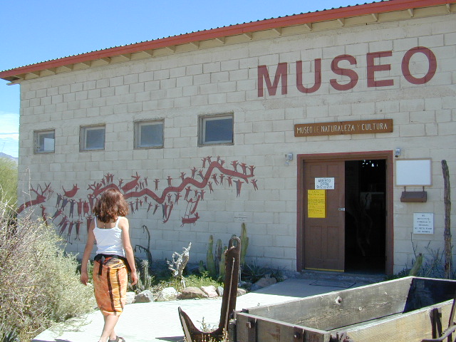
museum

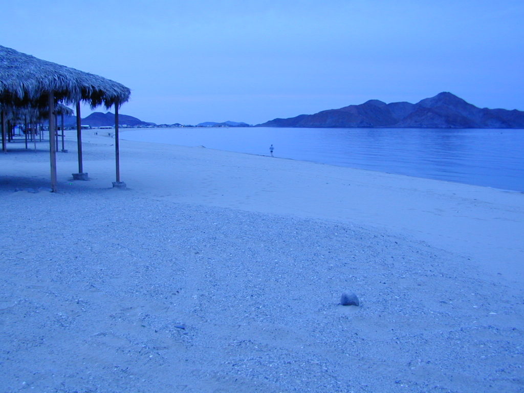
Gonzaga

baja camping

Camp Archelon
Camp Archelon, Bay of L.A.

Santa Ynez River California

riverbelow
Lake Cachuma views from Camino Cielo West

Santa Inez River, Santa Ynez, CA

One of the largest rivers on the Central Coast of California, close to 100 miles long. You can find this river name spelled with “I” as well as “Y” on various maps featuring Santa Barbara. The smaller river “Inez” begins w/ the upper reservoirs, deep in Los Padres National Forest. After leaving Lake Cachuma heading westward, the name turns into the bigger “Santa Ynez” river. Agricultural farmlands, wineries, horse pastures, all the way to Lompoc.

The Santa Barbara Mountains
Highway 154, San Marcos Pass
Lake Cachuma, Los Padres National Forest

Solvang Danish Village
Lompoc farmland
VAFB

Rancho Oso Campground

San Ynez Mountains

Everyone knows this area as Lake Cachuma, in the mountains
behind Santa Barbara. This fire-prone mountain range  parallels the palm tree lined coastal villages, along the scenic coastline of California. North of Ventura, Ojai and Los Angeles.

Indian Creek and Mono Creek drain the Dick Smith Wilderness Area, from the east, in Los Padres National Forest. Jameson Lake (2224′ elev) is a small reservoir where this river starts to come together. Downstream Agua Caliente Hot Springs flows, west to join Gibraltar Reservoir (1399′ elev). Then another 10 miles or so to meet w/ larger Lake Cachuma.  The large river continues thru Santa Ynez Valley, on to Lompoc and empties into the sea around Vandenburg.umbrella

Ocean Beach Park, Lompoc, CA

Ocean Beach sits in pristine isolation steps from engaging and beautiful shoreline, where the Santa Ynez River meets the sea. Bird-watchers and nature photographers love this spot. Beach access is closed to the public annually, from March – September due to bird (snowy plover) nesting season. Fishing is not allowed. Also known as “Surf Beach” and a well known coast for shark attacks.

Hiking is a popular recreation around  this whole wine country region; Campgrounds are generally open all year long. Summers can be hot, winters are usually wet. Wildflowers bloom March-May.

outdoor recreation 

  • backpacking
  • camping
  • hiking
  • horseback
  • mountain biking
  • off-roadinhiker
  • picnicking
  • stargazing
  • wildflowers
  • wine tasting


hikingupperoso
Day hikes, horse trails, mountain bike and backpacking trailheads

Santa Ynez Recreation Area

Campgrounds near this River

Camps in this list are managed by Santa Barbara County, USFS and privately owned campgroundscamp

Gibraltar & Agua Caliente
(access road #5N15 closed due to landslide; hike-in access only)

River Canyon AreaRV

Lake Cachuma Area

campupperoso
Upper Oso Camp

Dry SoCal terrain means that this river may be ‘seasonal’ – down to a trickle in drought years, or free flowing and wide during a good winter. Spring and winter storms can bring dangerous conditions and high water flowing over the paved roadways is possible. Authorities may close roads at any time depending on rainfall and river height.  Check the weather forecast and know what to expect, cuz it’s a dead end canyon way back in here.

PARADISE ROAD: The is a main access road to numerous campgrounds, w/ hiking, biking and horseback trailheads and OHV routes all accessible. The canyon wide river bed is strewn will bowling ball sized boulders and wading pools may be found.

Off Roading OHV Trailheaddirtbikes

  • Buckhorn OHV, near Upper Oso
  • Indian Creek Camuesa OHV, near Mono Campground
  • Divided Peak OHV, on Camino Cielo East
  • Davy Brown OHV, Figueroa Mountain


mellowentry
Camino Cielo West

CAMINO CIELO
A popular paved, ridge route drive of Santa Barbara (coastline views) with junction at Highway 154.

Camino Cielo East (Rd#51N12), goes southeast to great viewpoints over the epic coast. Channel Islands usually seen on the ocean horizon. Road become dirt & sudden switchback into mountains is quite steep. SUV or high clearance vehicle may be needed; and possible 4×4 in wet weather.

[CLOSED DUE TO LANDSLIDE 2019] The dead-end route leads down to the Gibraltar Dam (#5N15), several camp sites and a remote hot springs (which may or may not be operational)

Camino Cielo West, turns northwest off the highway. Nice viewpoints over Lake Cachuma. Boulders and coves, a party spot for locals kids. Paved road quickly become dirt turns into steep mountains w/ off roading opportunities. OHV trails not well marked w/ signs, so drive slow until you know the terrain. 4×4 may be needed. Mountain bikers and hikers also use this route, so pass with caution.

Santa Ynez, California
Small town Santa Ynez, CA

Los Padres Forest Headquarters
Goleta CA
805/968-6640

Santa Barbara District
Santa Barbara CA
805/967-3481

San Lucia District
Santa Maria CA
805/925-9538

Los Padres National Forest

maps of the Los Padres region –USFS

windmill

towns nearby


streetview
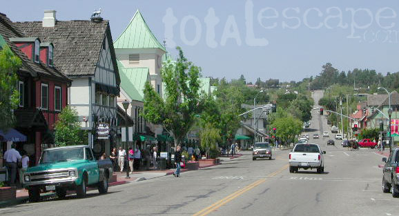
Solvang (a tourist haven) can be a good lunch stop, freeway close.

in the vicinity, see also –

Gaviota Hot Springs
Jalama Beach County Park
Nojoqui Falls
Rock Front Ranch 4×4 Camping
Santa Barbara Camping
Santa Lucia Camping
Santa Ynez Park


Panamint City California

panahills
Photo Credit © Lttlbddy Steve Gardiner

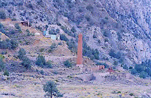
Panamint City, a super remote mining camp on the edge of Death Valley National Park

elevation: 7300′

(Not to be confused w/ Panamint Springs, CA which is NW, along the main Highway 190 on the west side of DVNPhiker

Panamint Valley, Death Valley NP
Inyo County, NE of Ridgecrest
East of Hwy 395, south of Hwy 190

Hard to reach ghost town / abandoned mining camp on the mountainous edge of Death Valley National Park. Access via dirt road and steep trail,  off the paved Trona Wildrose Road. Panamint Valley, west of Death Valley

best time to visit: November – April
Triple digit heat is common in the warmer months, so spring, autumn and winter time is best for this region, but beware of winter storms.snow

Snow is common on  the peaks, and at higher elevations (like this place) during winter (DEC-APRIL). If you see trees on the terrain – joshua trees or pinyon pines, that indicates that snow falls here often enough. Snow is possible around Death Valley, down to 3000′ elev. during coldest of winter storms.

Surprise Canyon Wilderness BLM – Desert mountains, steep rocky terrain w/ peaks and very few trees. Surprise Canyon can become a waterfall, during heavy desert rains. The canyon is the  only access up to reach this hidden town4x4

NO MORE 4×4
Hike or backpack up Surprise Canyon
No longer 4WD accessible .Gotta hike it on foot now. So get that fat ass outta the rig for some elevated heart rate (real exercise).

This desert destination used to be a very popular off-road trail, where Jeeps would wench and crawl up the narrow, rocky passage; but all that changed with a wilderness designation (1994)  and no longer are machines allowed in this specific canyon area. No vehicles (engines) and no mountain bikes. No wheeled anything.

Off-roading and free-wheelin is still allowed and abundant in neighboring canyons of Nadeau Road & Panamint Valley – Pleasant Canyon, South Park Canyon, Jailhouse Canyon, Goler Wash, Isham Canyon

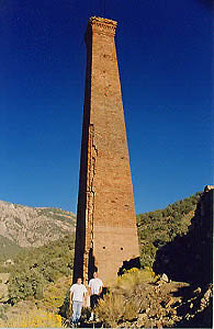
stack
Smoke stack has collapsed in the recent past, so this structure is no longer standing. Photo Credit © Lttlbddy Steve Gardiner

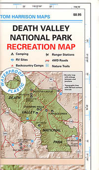
DVNP Topo Map

area activities & links:

  • lookinN
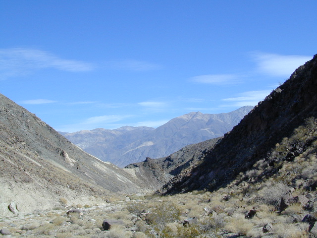
    Looking north in a neighboring canyon

    Campgrounds nearby –

    Ballarat ghost town has a camper bathroom w/ showers and a fee to go along with that. Panamint Springs has a small motel and a big restaurant, plus a large campground (across the highway) which can accommodate tents, camper trailers and RVs.

    campDeath Valley National Park boundary means developed campgrounds are a few miles away up Wildrose Canyon.


  • Primitive Camping around Panamint Valley

    Boon-docking, dispersed, FREE, open camping is allowed almost anywhere in Panamint Valley and the neighboring desert canyons. Campfire permits are required and are available at BLM office in Ridgecrest. There is no firewood, nor wood collecting around these parts, so bring your own.

    camptruck

    Nadeau Road has abundant flat spots for RVs; Well stocked 4x4s can find secluded camping further up the canyons, but must be a self-sufficient camper and bring water, plenty of ice, extra gasoline, food and firewood.

    More Mining Camps & towns nearby:check

    Ballarat, CA
    Pleasant Canyon
    Randsburg, CA
    Skidoo, DVNP
    Tucki Mine, DVNP

    wildrosedrive
    Wildrose Canyon Road, DVNP

    lodging nearby – lodge

    Locating a ‘real bed’ near this remote desert region will require some driving. The closest option in Panamint Springs, which only has a few rooms. The next closest, would be Stovepipe Wells inside the National Park.

    mike_up5
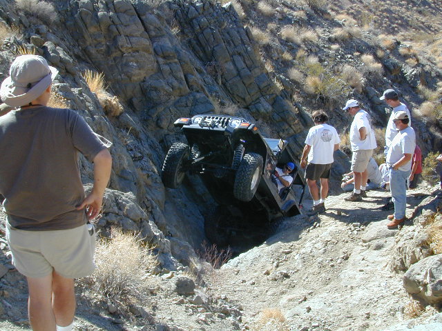
    This is the kinda wheeling craziness that goes on in other canyons nearby.
    bestnite
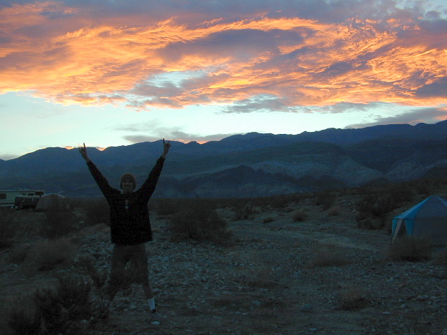
    Leon from San Diego enjoys a spontaneous vacation.

    Camping in Panamint Valley is best in cooler months.  NOTE: Triple digit heat in summer!