Montgomery Creek Canyon Montgomery Mining Camp:
Mountain Queen Mine
Montgomery City, California
WHITE PEAK DISTRICT
As with many historic names inside California, this remote location cannot be classified as a ‘city’ in todays terms. It may have been a notable location back in the early days of early settlement, but it did not last long. Notable producers of this region were the Phoenix Mine and Mountain Queen Mine.
Desert
terrain: desert mountain peaks
elevation: 6450′
description:
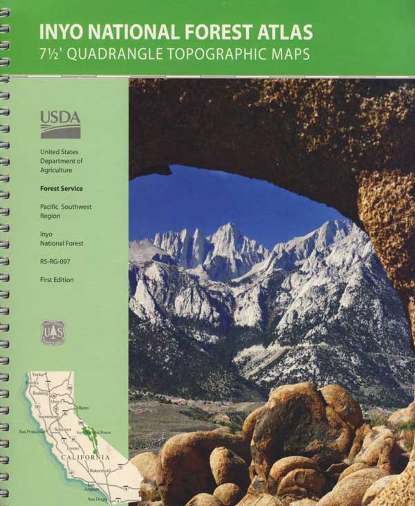
Old mining camp near the Nevada state border
location:
Eastern California, on Nevada border Mono County
NE of Bishop, & 40 mi. SE of Bodie, CA
East of US 395, up Highway 6 @ Benton, turn right / South towards the Benton dump w/ dirt road Inyo Forest Road #1S77 leading up Montgomery Canyon. 4×4 will be needed to drive the dirt access road. Hiking may be required to reach mining ruins.
When Mono County was still in its infancy, the town of Benton became a destination of miners seeking new strikes, and by 1865 was the county’s largest town.
Miners found ore where perpendicular cliffs of Montgomery Canyon opened onto the alluvial fan. Montgomery City and its mines didn’t thrive for very long and like most operations typical of this era, eventually became an abandoned site.
Circa 1863 and 1864, “some very rich rock was found in Montgomery Canyon, and a tremendous rush and excitement was the consequence. A lively little town of three or four thousand inhabitants at once sprung up, locations were made and mines opened out, and large shipments of rich ore made to San Francisco and other places. I have been told that some of the ore was worth from $2 to $3 a pound; but the ledges were broken on the surface, and apparently gave out, and the excitement soon subsided.”
Montgomery Peak – 13,441′ elev
Mount Dubois – 13,559′
White Mountain Peak – 14,246′
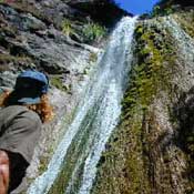
Stone walls can be found within the mining site, located within the drainage of Montgomery Creek. A few old stone cabins hold on to the brink of existence, far up this secluded high desert canyon.
Benton on US Hwy 6 was established as Benton Station in 1880 when the narrow gauge Carson & Colorado Railroad came through the area. Montgomery City is a true ghost town, in every sense of the phrase. Those who make the rough and steep journey to reach this remote location should be rewarded with an enjoyable day trip.
Backpackers, hikers and off-roaders who plan to explore this region in depth should follow the trailhead link above for GPS points and notes on this canyon. A topographic map of the area would also help in navigation.
Seeking to explore more of California:
Outside more, Inside less.
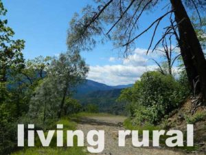
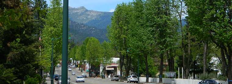
Rural reaches of rivers, mountains, high and low deserts. Find a new town in Northern California or in the Sierra foothills. Discover a new place for local vacations, or go all out and get a new job, in a new town.
Relocating, outside of a big city – for a life style change, more nature, less people, less traffic. Real living life outdoors, walking to the market, growing some food, and enjoying a forced, early retirement.
Most populated state in US = California
Most of the towns listed below are NOT located in the popular San Francisco Bay Area, nor the massive hot and smoggy Central Valley, nor in the over-crowded Southern California region.
cool town
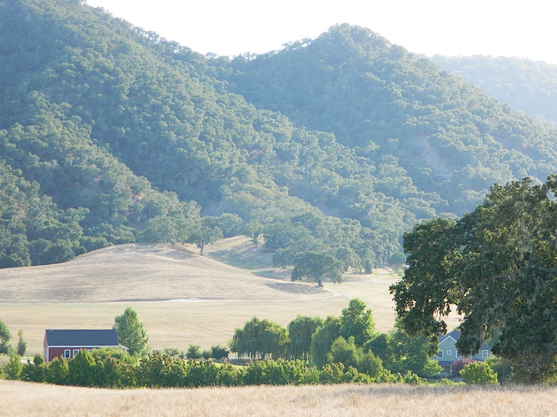
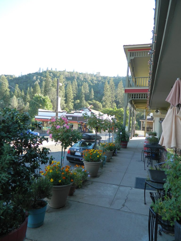
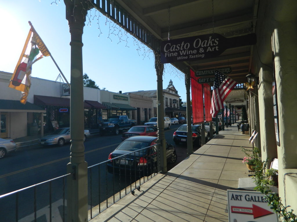
Upscale villages, mountain hamlets and historic downtowns often have loads of attractions and eateries, yet unaffordable rentals and sky high residential real estate prices. We’ve purposely left out the super expensive and over-priced places like wine country, coastal enclaves and the typical touristy stops.
Many in this list are unheard-of farm towns, forest cabin communities, or river canyons – often neglected, minimal and unimproved. Some of these will not have a Wal-Mart in town, seldom a chain grocery store, nor a main street full of fast food restaurants. Although, they might be located next to a National Park, National Forest or State Park. Hike, bike, kayak and camp!
Backwoods, back roads and backcountry. Wildfires are often an annual threat. Higher in elevation means less smog and more stars. Altitude also means snow is quite possible, at least half the year.
If you moved to California to avoid snow, then skip a winter visit (DEC-APR) or find elevations below 3000 feet.
Rural California forests, mountains, rivers, canyons, orchards, farms, wilderness
The states with the largest amount of land classified as rural are:
1. Alaska, 2. Texas, 3. California, 4. Montana
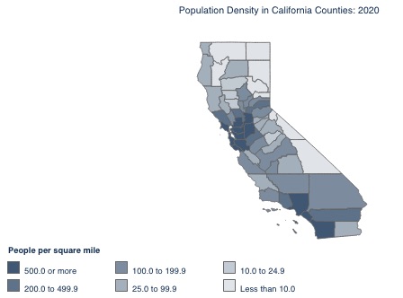
The state of California has the highest population in the nation, but residents are highly concentrated and unevenly distributed.
California’s population has declined for the first time in its history. Population increased from 1800 up until 2017, but most recently has seen a decline, referred to as ‘CalExodus’
NOTE: Half the population resides in just 4 counties: Los Angeles, Orange, San Diego, San Bernardino
In California the majority of the population live in urban (city) areas, while just a small percentage live in rural areas. California’s rural population is not highly concentrated, but distributed throughout many of the 58 counties.
The California counties listed below may have growing populations, yet most still have available land for small farms, orchards and livestock. Home prices will be higher in areas in close proximity to cities. When planning to relocate outside of a city, abundant water should be a top priority. Wells can dry up during drought years, so check this 2015 map for prior affected regions.
More California Counties w/ Rural Residential Areas:
Rural areas can still be found in Southern California, in places like East County San Diego and maybe Riverside County, but the cost of real estate is high in many parts of the state and not easily affordable.
Anything near the coast is way more expensive than sunny, hot inland locations, with desert lands being the least expensive. Food grows well in sunshine and heat, just make sure you have lots of water. Be prepared to build shade structures.
Total Escape is here to show you the rest of the state.
purples are rural oranges semi-rural
RELOCATING TO RURAL COUNTRY
Many older homes may be in dire need of complete renovation, so be ready to work, or hire out to have it done. Moldy foundations, collapsing basements, leaky roofs, retaining walls. Home inspection should be learned (in advance) of home ownership.
Rural ranches and mountain homes may be located on dirt roads. Snow and rain make unpaved access messy or impossible, so vehicle choice (4×4) could be an issue when relocating to wilder lands.
Larger properties could be totally undeveloped. Land excavation is quite expensive, so you might need to consider buying your own earth moving machine.
Looking for a rural property with a well and/or a creek will ensure a good water source for years to come, but only if you maintain the system. Upgrades may be needed and water filters are always a reoccurring cost. Water testing is recommended for your home. Well tests are usually offered by local well companies. To drill a new well on raw land, expect to pay thousands of dollars. Especially if no road or drive way exists.
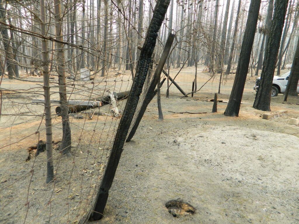
WILD FIRESin California
Aftermath of Wildfire 2020
Wildfire is a common threat in rural areas, due to the amount of vegetation and the remote location. Preparation (years in advance), can go a long way to saving your structures from catching fire.
Harden your home to stand alone, without any expectations of firefighters coming to fight the fire or save your house.
Be physically fit, disciplined and capable of ‘brush clearance’ on your own land, every year. What used to be a 30 foot perimeter clearance around structures, has turned into a 100 foot requirement.
But with recent erratic fire seasons, more aggressive and lasting longer – authorities are now considering a 300 foot clearance mandatory, allowing for tree removal well into neighboring properties.
Be prepared to pay for tree removal and brush clearance, if you cannot do it yourself. Your life and property LITERALLY rely on proper brush clearance around your home.
TREE REMOVAL + BRUSH CLEARING
Since many wildland fires are spread with the dramatic wind events, originating from the east, special consideration should be paid to the east side of buildings.
Geography plays a big part on this. Sometimes winds come from the northeast. Know the unique landscape, hazard potentials and the pattern of weather for the region you reside in.
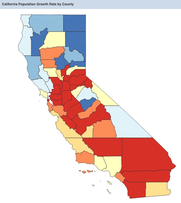
California Population Growth Rate by County
WEATHER
California has it’s own share of weather related crises’ – from seasonal flooding to landslides, rock slides to avalanches, heatwaves to snow storms, winds events (up to 70 mph) and of course, dry lightning strikes with abundant wild land fires.
Too cold, too hot, too much snow. Research historical weather records for any place you plan to live, and expect those normals to change (maybe drastically) with future predictions.
Over the decades, Total Escape has found the NWS, which is the National Weather Service, forecasts to be more accurate than most of the other weather related web sites. Be ready for any type of weather, from serious downpours to droughts.
California has extreme elevation, with below-sea-level desert basins to the tallest granite, mountain peaks. It is much easier to grow food crops at lower elevations in California, than in the mountains or foothills. Livestock and apple & citrus orchards prefer the sunny mountain foothills, while rice and grains will typically grow only in the low lands. Know what terrain is best for the type of farm or homestead you want to create. Snow is possible, but not very common, down to 1000′ elevation. Snow depth can be an issue for any type of year-round growing above 4000′ elevation.
DOWN THE HILL
Shopping and groceries could be many miles away, so you’ll need to see how far you are willing to drive (and how often) for food staples. Hardware stores, big box stores and most conveniences of city life are now hours away.
As Americans, our ancestors come from the natives, the rebels, the adventurers – and the dreamers, many of who migrated westward to create a better life.
Now is a time that we could re-create ourselves, as a nation – and individually.
During the Great Depression of 1930’s – nearly half the US population worked in agriculture – and most households had a backyard vegetable garden. That lifestyle continued through the 1950’s, but then commercialism and pesticides took over our food; and we became less interested in food production over the decades.
DISTRACTED
Today, farm workers have decreased to less than 10% of our population. Now we rely on corporations to feed us. If you yearn for a new life – outdoors, out in the country, with less city, less noise and more nature – this site can help you find a new rural location to explore, even in Crowded California.
Total Escape has been focusing on rural California since 1996
Rural, small mountain towns, close to Yosemite National Park.
Everyone wants to live in Yosemite! It’s like a magical wonderland of nature. Maybe the happiest place in California. Once you’ve experienced the incredibly beautiful valley and the granite views of the National Park, your thoughts may go directly to ‘when can I visit again’ or perhaps- ‘is it possible to live near Yosemite?’
YES indeed, people do live near Yosemite. Western foothills are under 5000′ elevation, so super deep snow is generally not a problem. Unless, of course, we break the record on rainy season (again). In 2016-2017, the Sierra Nevada mountains saw the most snow & rain ever recorded. Just so you know.
Often called gateway towns, these towns are the closest to the NPS boundary. There is a whole lotta forest between these towns and the famous Yosemite Valley.
Many more foothills towns (rural residential) are located to the west of Highway 49 – wineries, ranches and oak canyons, most w/ recreational Reservoirs. But we’re here on Total Escape to list the small towns that are closest (in proximity) to Yosemite NP.
Living in or near the mountains is a dream for many people in California. Why wait until retirement? Grow food gardens, get some chickens and hike everyday.
land is always cheaper outside the city limits
home prices are more reasonable in rural areas
more room to breathe (one acre to 40)
property with well for water
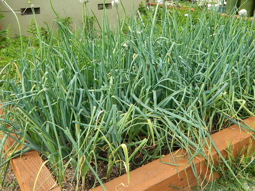
Relocating to a new area like this, often means changing your lifestyle. Less television, more stargazing. No gym membership, more biking and hiking. Less dining out, more cooking at home. Less socializing, more yard work & home improvements. Grocery stores farther away, so limit shopping trips to once per month. And the biggest benefit to living rural – grow your own vegetable garden.
PRO: close to nature, fesh air,wildlife, wildflowers, rivers, creeks, water, lakes, forests, fruit trees, small farms, free firewood, horses, livestock
CON: severe wildfire season, triple digit summer heat, lost tourists, landslides, brush clearance, real manual labor, minimal internet
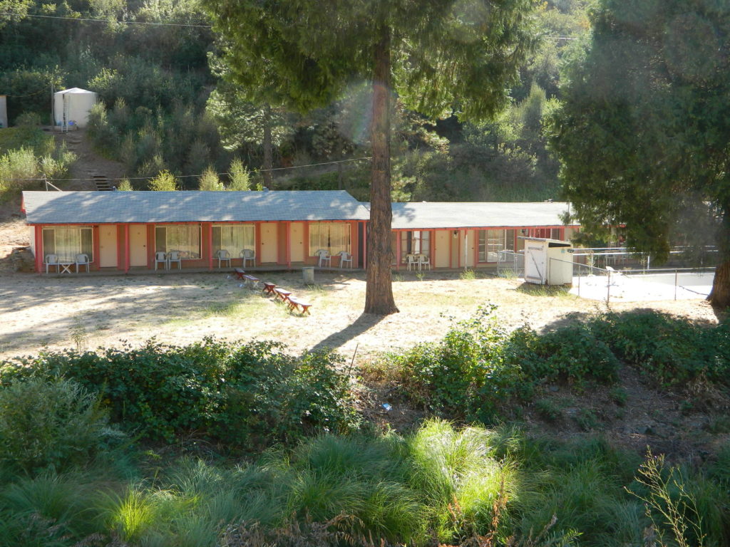
Groveland walk wayRedinger Lake, near North Fork, CAFunky, old, motel in El Portal, CA
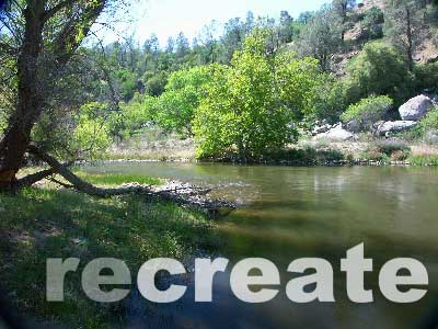
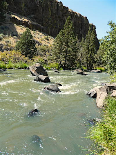
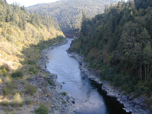
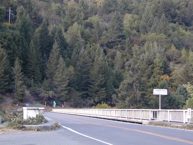
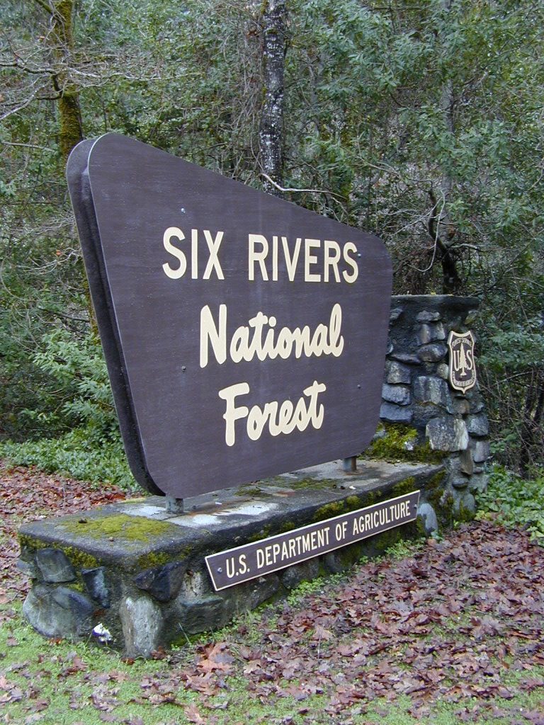
The spectacular Klamath River is both the second largest and second longest river in California, making its way through over 250 miles both the Cascade and Coast Mountain Ranges. It’s one of the most important rivers in the U.S. for fish migration.
backpack
boat
camp
canoe
fish
float
kayak
raft
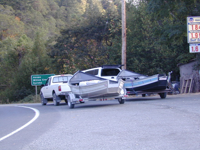
NorCal river renowned for fishing = salmon and steelhead
The river is easily accessible off of Highway 96 w/ boat ramps, trailhead parking and campgrounds located nearby.
Klamath River flows down into California from Klamath Falls, Oregon. Many feeder streams and rivers join the big river – Shasta River, Scott River, Salmon River, and it takes a sharp turn north again where the Trinity River joins it from the south. Copco and Iron Gate Dam located at the Oregon border, plus Upper Klamath Lake, north of the state line, are the significant dams along this river.
This area is the last hold-out for tribal members of
Dispersed camping outside of developed campgrounds. Fire permits are required during fire restrictions. Call for more info Orleans Ranger District at 530-627-3291
Aikens Creek West Campground, Road #10N75
No fee. Open all year. No reservations. No services. Trailer spaces available. Maximum trailer length 35′
Ten Bear Trailhead
No fee. Dispersed camping area w/ several corrals, water for animals, and 2 campsites; pefect hunter’s camp. At the hiking trailhead for Ten Bear trail, in the Marble Mountains Wilderness.
Orleans with Snow
Ti-bar, North of Orleans, CA No fee. Heavy use. Ti-bar River Access offers a paved road to excellent dispersed camping with picnic tables, camp fire rings, a vault toilet and information kiosk. Gravel, steep boat ramp; 4WD may be needed to launch boats.
Klamath in 2002 – would you look at those gas prices!
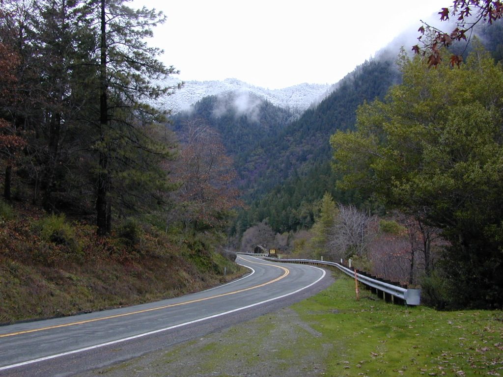
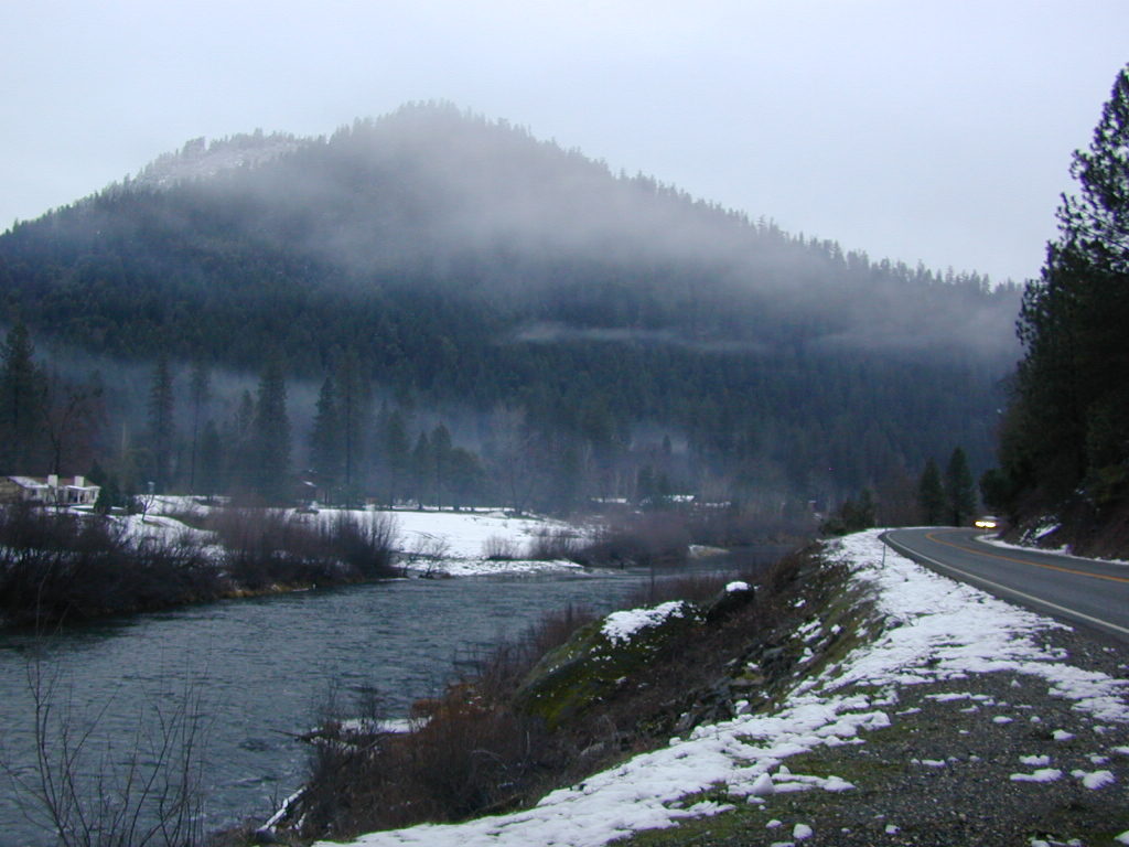
January snow near Happy Camp, CA
Smith River Recreation Area
Doe Flat Trailhead, Road #16N02
Trail Parking @ elevation: 4500′
3 campsites and a vault toilet
Dry Lake, County Road 405.
No fee. Open all year. Tent camping, Vault toilet. Good fishing.
E-Ne-Nuk Campground, Road #10N70
(also known as just plain “E-Nuk”)
10 sites w/ Overnight fee.
No reservations. Open June-Oct.
Tent and RV Camping,Picnic tables, Vault toilet.
Pearch Creek Campground, Pearch Creek Road #11N62
10 sites w/ Overnight fee.
Reservations accepted. Open June-Oct.
Maximum trailer length 30′
Fish Lake Campground, Fish Lake Road# 10N12
24 sites w/ Overnight fee. Open June-Sept.
Tent camping, RV Camping trailer,Picnic tables, Vault toilet. Maximum trailer length 20′
Stanshaw Equestrian Camp & Trailhead
4900′ elev
Dispersed camping; No fee. Excellent base camp for equestrian recreationists heading out on the Stanshaw Trail in the Marble Mountains Wilderness Area. One restroom, 5 large campsites with picnic tables, fire rings; corrals with running water for animals.
Ten Bear Trailhead
No fee. Dispersed camping area w/ several corrals, water for animals, and 2 campsites; pefect hunter’s camp. At the hiking trailhead for Ten Bear trail, in the Marble Mountains Wilderness.
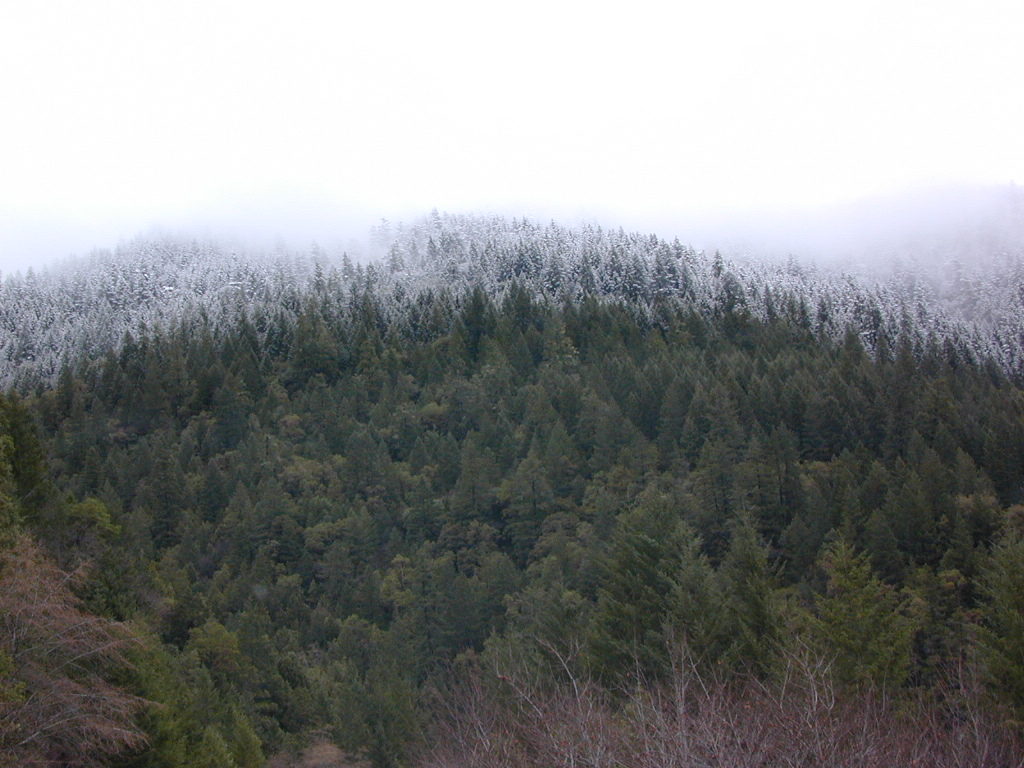
Snow levels can reach the river in Northern California
 Desert


 Backpackers, hikers and off-roaders who plan to explore this region in depth should follow the trailhead link above for GPS points and notes on this canyon. A topographic map of the area would also help in navigation.
 Rural reaches of rivers, mountains, high and low deserts. Find a new town in Northern California or in the Sierra foothills. Discover a new place for local vacations, or go all out and get a new job, in a new town.
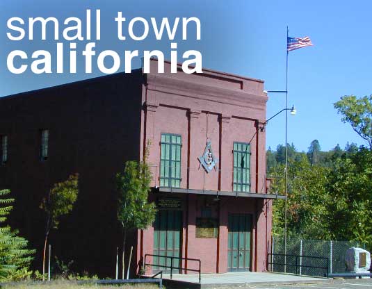


 Rural areas can still be found in Southern California, in places like East County San Diego and maybe Riverside County, but the cost of real estate is high in many parts of the state and not easily affordable.