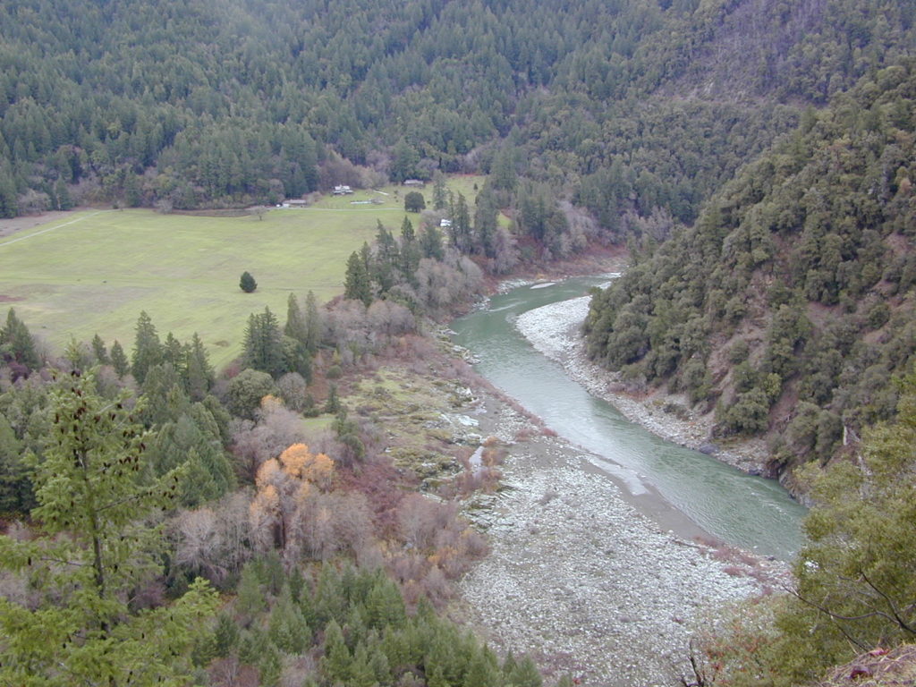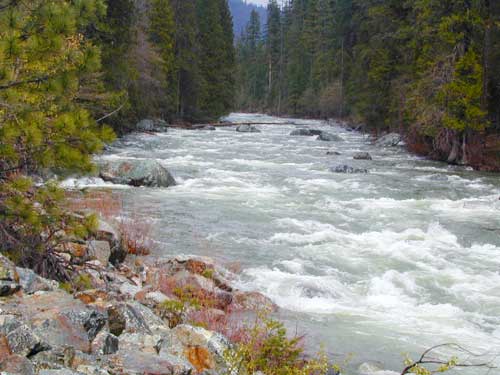
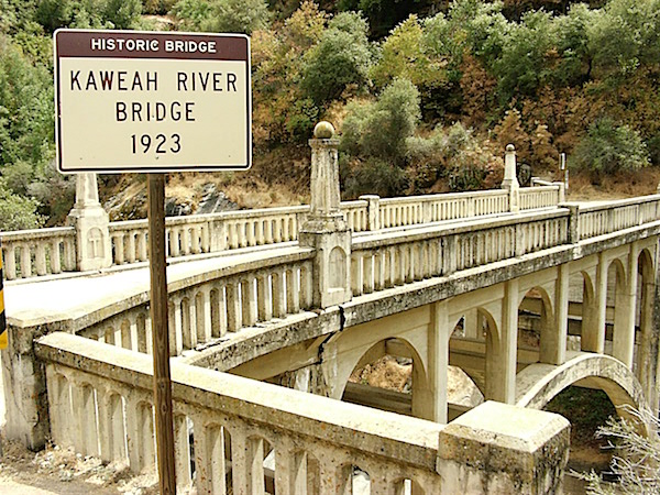
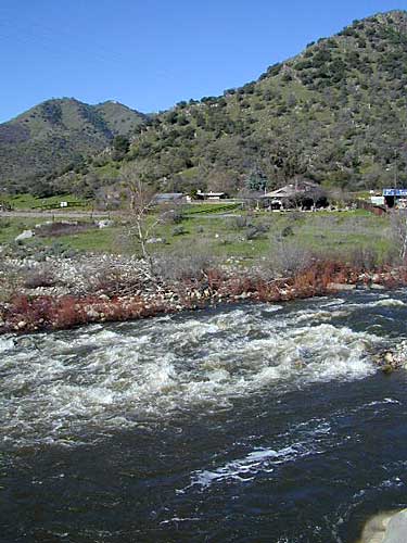
Kaweah River California
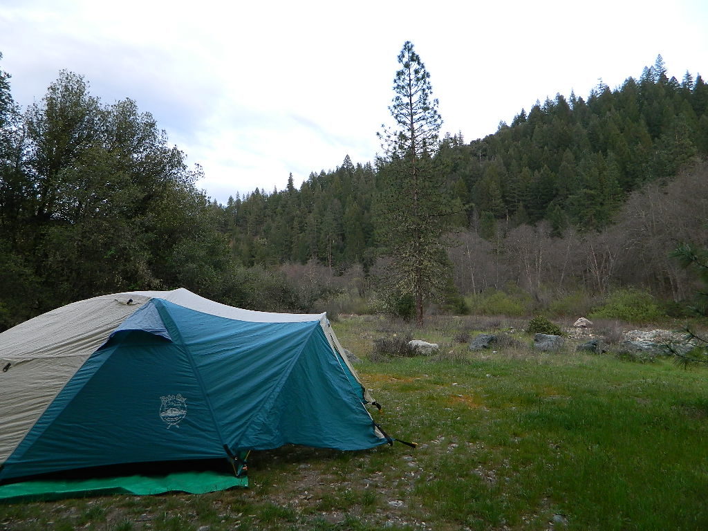
Kaweah Lake Camping
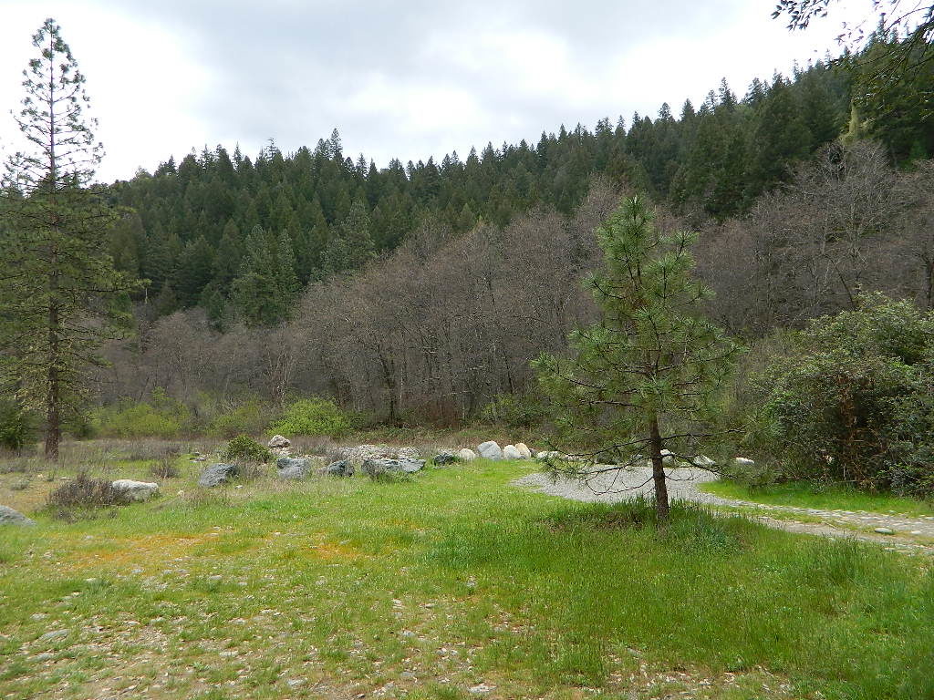
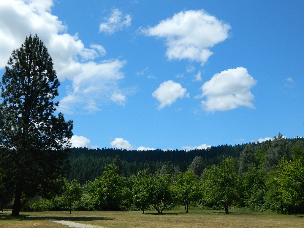
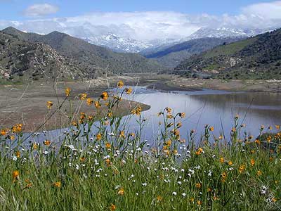
Picnic & Wildflowers

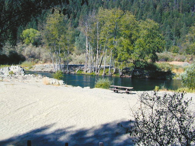
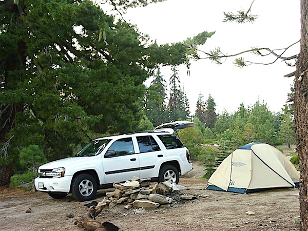
Horse Creek Campground Sequoia
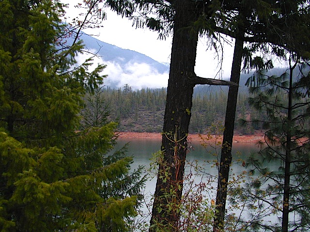
Kaweah Lake, California
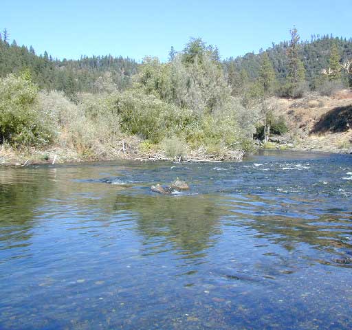
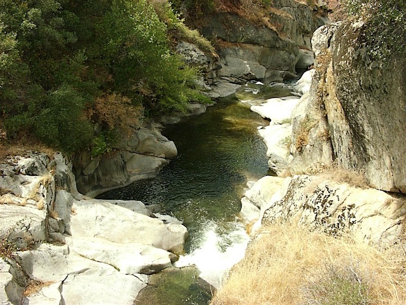
The Kaweah River is fed from snow melt in the southern Sequoia National Park & Golden Trout Wilderness . Since this location is the Southern Sierra Nevada mountains, where drought is more apparent, expect this river to be smaller than most of the other Sierra rivers.
Recent wildfire: SQF Fire 2020
Kaweah River has 4 forks, coming in from 3 different directions, east of the lake:
North Fork Kaweah runs down the western boundary of Sequoia National Park
Marble Fork Kaweah flows down from the National Park and Sequoia groves on Generals Hwy 190
East Fork Kaweah comes out of Mineral King Valley
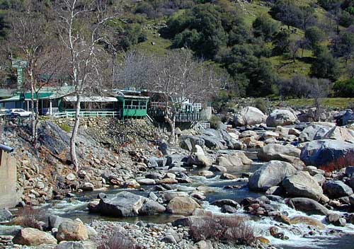
South Fork Kaweah feeds in from the south, just outside the river town of Three Rivers, California

Forests & Parks along this River:
Mineral King
Lake Kaweah
Sequoia National Park
Above the town of Three Rivers, the mighty Mineral King Road peels off Highway 190 and winds its way up 25 miles – deep into the southern section of Sequoia National Park. This is a dead end canyon and it is so gorgeous – you’ll want to spend the whole weekend. The road is long, narrow, curvy and takes hours to drive one way. The route closes for winter snow and stays gated for more than half the year.
Don’t plan on doing Mineral King (as a day trip) in addition to the main attractions of Sequoia groves in Sequoia National Park, unless of course, you have a whole week to burn. Mineral King is a remote, high elevation valley that is a favorite hikers paradise, with backpackers trailheads leading into Golden Trout Wilderness. Climb to upper altitude alpine lakes for a day of fishing. Play at the creek at the campground and listen to nightly ranger talks during the summer. Bears and marmots are very active in this area.
Sierra Nevada / Central California
Seeking solitude while camping is difficult near the National Park. Dispersed camping is allowed on a few dirt back roads, but you will need a decent National Forest map to find these routes.

The least busy, smallest campground around these parts is the South Fork Campground which does not accommodate motorhomes. Access is by a secluded South Fork Road, a dead end, rural residential, paved road – on the edge of town (Three Rivers, CA) With only 10 camp sites it is nmuch quieter than any other option. Perfect campground for tent campers, day hikers or backpackers.
Dry Creek Rd #J21 and North Fork Road (dirt roads, on the north side of the lake) are excellent routes for secluded picnics and wildflower meadows. Possibly gated part of the year, these roads connect to the seldom-seen, west side of the Sequoia National Park and some secluded Sequoia groves.
We are taking 20+ mies of dirt road driving, to reach any decent back road destination, so choose this path only if you have a.) a printed hard-copy topo map, b.) a worthy, high clearance vehicle and c.) a full free day to kill just driving slow (25 mph) and exploring.

-
backpacking
-
boating
-
camping
-
canoe
-
fishing
-
forests
-
hiking
-
kayaking
-
paddleboard
-
rafting
-
RV camping
-
swimming
-
tubing
-
wildflowers


Campgrounds near Kaweah River:
Atwell Mill Campground
Cold Springs Mineral King NPS
Buckeye Flat Campground NPS
South Fork Tent Campground NPS
Horse Creek Campground
@ Lake Kaweah


Lodging near Kaweah River @
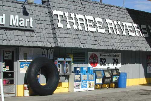
Three Rivers, California
Foothills Visitor Center
Sequoia National Park
47050 Generals Hwy
Three Rivers, CA 93271
559-565-3341

towns along Kaweah River:
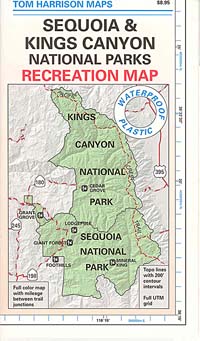
Sequoia Maps – Topo Trail Maps