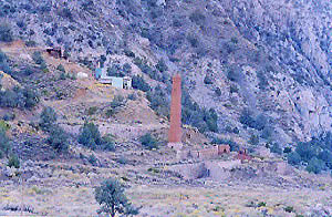
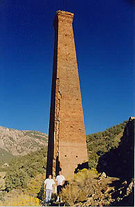
Panamint City, a super remote mining camp on the edge of Death Valley National Park
elevation: 7300′
(Not to be confused w/ Panamint Springs, CA which is NW, along the main Highway 190 on the west side of DVNP
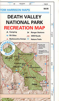
Panamint Valley, Death Valley NP
Inyo County, NE of Ridgecrest
East of Hwy 395, south of Hwy 190
Hard to reach ghost town / abandoned mining camp on the mountainous edge of Death Valley National Park. Access via dirt road and steep trail, off the paved Trona Wildrose Road. Panamint Valley, west of Death Valley
best time to visit: November – April
Triple digit heat is common in the warmer months, so spring, autumn and winter time is best for this region, but beware of winter storms.
Snow is common on the peaks, and at higher elevations (like this place) during winter (DEC-APRIL). If you see trees on the terrain – joshua trees or pinyon pines, that indicates that snow falls here often enough. Snow is possible around Death Valley, down to 3000′ elev. during coldest of winter storms.
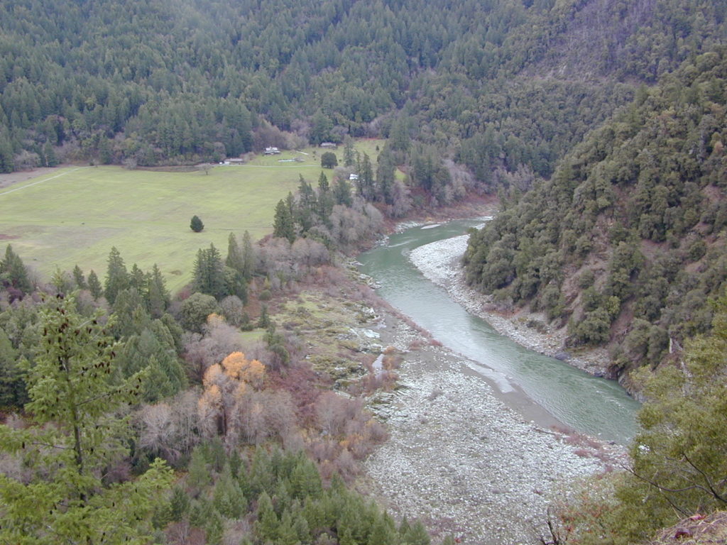
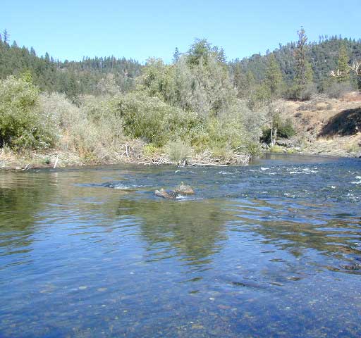
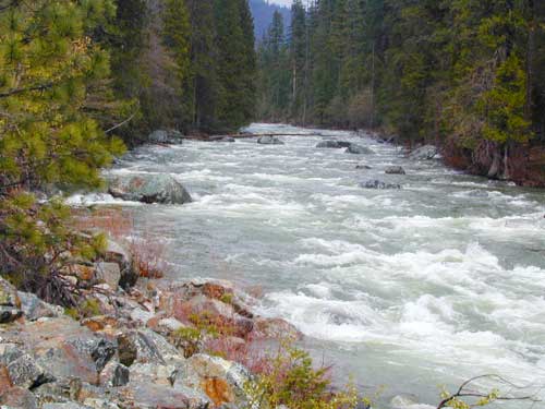
Surprise Canyon Wilderness BLM – Desert mountains, steep rocky terrain w/ peaks and very few trees. Surprise Canyon can become a waterfall, during heavy desert rains. The canyon is the only access up to reach this hidden town
NO MORE 4×4
Hike or backpack up Surprise Canyon
No longer 4WD accessible .Gotta hike it on foot now. So get that fat ass outta the rig for some elevated heart rate (real exercise).
This desert destination used to be a very popular off-road trail, where Jeeps would wench and crawl up the narrow, rocky passage; but all that changed with a wilderness designation (1994) and no longer are machines allowed in this specific canyon area. No vehicles (engines) and no mountain bikes. No wheeled anything.
Off-roading and free-wheelin is still allowed and abundant in neighboring canyons of Nadeau Road & Panamint Valley – Pleasant Canyon, South Park Canyon, Jailhouse Canyon, Goler Wash, Isham Canyon
area activities & links:
-
- Barker Ranch
- Back Road Exploration
- Camping
- Charcoal Kilns
- Death Valley NP
- Desert Wilderness
- Goler Wash
- Hiking
- Mining Camps
- Off-Roading
- Photography
- Panamint Valley
- Sightseeing
- Skidoo Story
- Wildrose Canyon
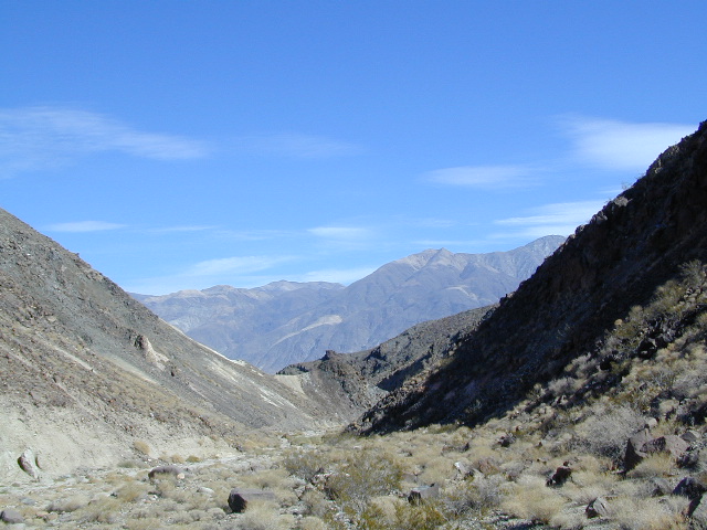
Looking north in a neighboring canyon Campgrounds nearby –
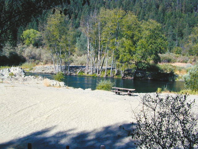
Ballarat ghost town has a camper bathroom w/ showers and a fee to go along with that. Panamint Springs has a small motel and a big restaurant, plus a large campground (across the highway) which can accommodate tents, camper trailers and RVs.
 Death Valley National Park boundary means developed campgrounds are a few miles away up Wildrose Canyon.
 -
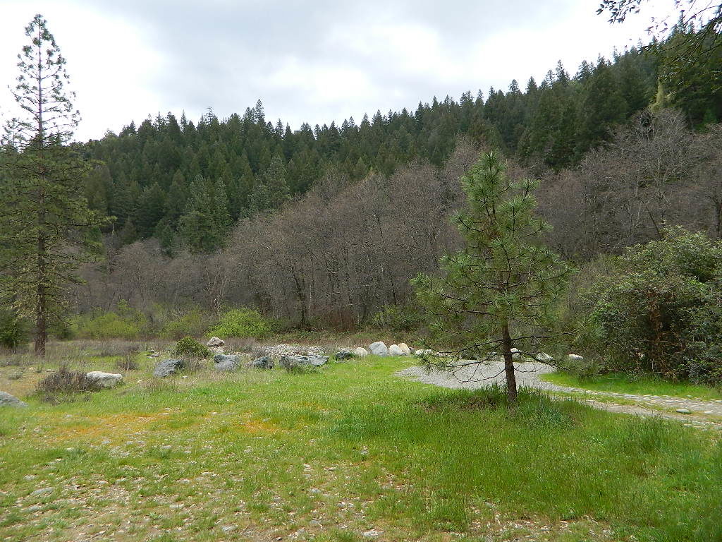
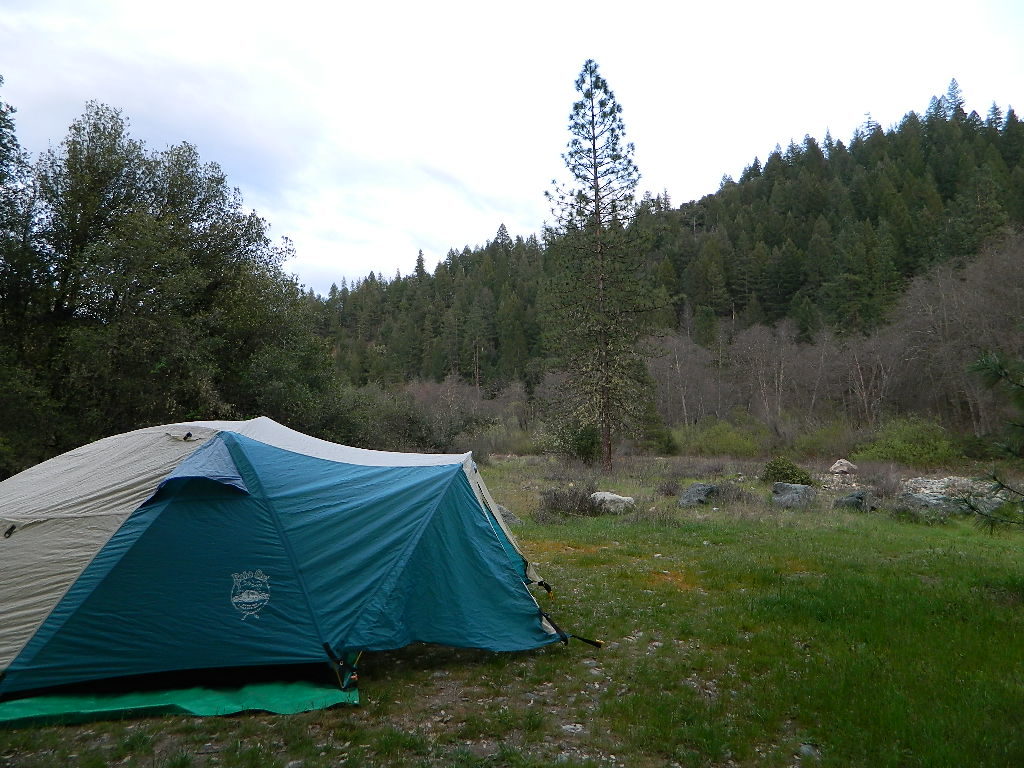
Primitive Camping around Panamint Valley
Boon-docking, dispersed, FREE, open camping is allowed almost anywhere in Panamint Valley and the neighboring desert canyons. Campfire permits are required and are available at BLM office in Ridgecrest. There is no firewood, nor wood collecting around these parts, so bring your own.

Nadeau Road has abundant flat spots for RVs; Well stocked 4x4s can find secluded camping further up the canyons, but must be a self-sufficient camper and bring water, plenty of ice, extra gasoline, food and firewood.
More Mining Camps & towns nearby:

Ballarat, CA
Pleasant Canyon
Randsburg, CA
Skidoo, DVNP
Tucki Mine, DVNP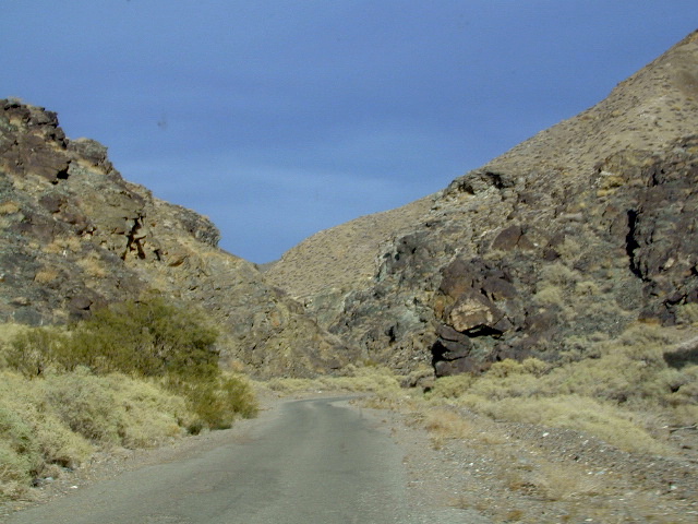
Wildrose Canyon Road, DVNP lodging nearby –

Locating a ‘real bed’ near this remote desert region will require some driving. The closest option in Panamint Springs, which only has a few rooms. The next closest, would be Stovepipe Wells inside the National Park.
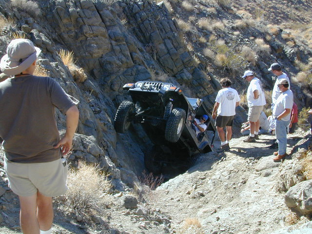
This is the kinda wheeling craziness that goes on in other canyons nearby. 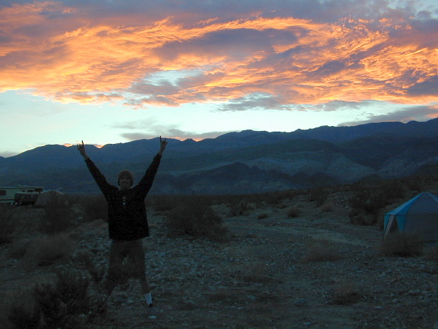
Leon from San Diego enjoys a spontaneous vacation. Camping in Panamint Valley is best in cooler months. NOTE: Triple digit heat in summer!