Sespe Wilderness & Hiking Trails
Los Padres National Forest
Campgrounds & Trailheads
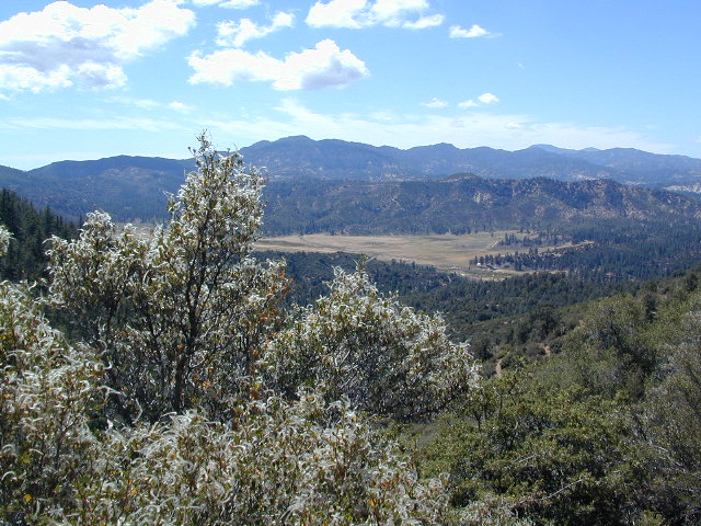
Sespe Wilderness is located in the mountains W of Interstate 5, North of Los Angeles. The chaparral region lies in between Lockwood Valley and the Santa Clara River Valley (Hwy 126). Higher elevation Mount Pinos lies to north side of Sespe and Ojai Valley to the south. The infamous 4×4 Miller Jeep Trail is located on the north side near Alamo Mountain, which is also accessible via Hungry Valley.
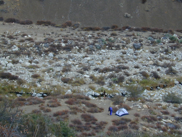
The 2006 Day Fire burnt a good portion of the Sespe Wilderness, so you can expect to see some black and toasted areas. Sespe Creek is also referred to as Sespe River. and certain waterways may dry up during drier months. Piru Creek, Alder Creek, Aqua Blanca Creek, Tarr Creek, Mutau Creek, Snowy Creek are several worthy of note. Expect heat and high temperature in the summer & fall month, and possible campfire restrictions during extreme wildfire season.
219,700 acres
6 areas of hiking trails
Los Padres National Forest
Lockwood Ranger Station
661-245-3731
Sespe hiking trailheads located at –
Highway 126 – Fillmore, CA
Sespe Condor Sanctuary – Dough Flat Trailhead
Highway 150 – Ojai, CA
Sisar Canyon Day Hike / Road #4N15
Highway 33 – Ojai, CA
Rose Valley Road #6N31, Rose Valley Falls, Day Hike
Piedras Blanca Trailhead for the National Recreation Trail
Pine Mountain Rd # – Reyes Peak Trailhead
Lockwood Valley Road – Frazier Park, CA
Reyes Creek, Camp Shiedeck – Pine Mountain Trailhead
Half Moon Mutau Flat Trailhead, Sespe Hot Springs
Interstate 5 Tejon Pass @ Hungry Valley
Hard Luck Trailhead
Los Padres Campgrounds near Sespe Wilderness
- Frazier Park Camping
- Ojai Campgrounds
- Twin Pines Campground, Road # 18N01
Alamo Mountain via Hungry Valley OHV - Lockwood Creek Campground
- Half Moon Campground, Lockwood #7N03
- Thorn Meadows Campground, Lockwood #7N03
- Dome Springs Campground, Lockwood #8N40
- Reyes Creek Campground, Lockwood Valley Rd
- Pine Mountain Road @ Reyes Peak (dispersed)
- Nettle Springs Campground, Cuyama Hwy 33
- Ozena Campground (closed)
- Tinta Campground, Hwy 33
- Rancho Nuevo Camp, Hwy 33
- Rose Valley Campground, Hwy 33
- Wheeler Gorge Campground, Hwy 33
nearby parks & lakes –
- Los Padres National Forest
- Mount Pinos Recreation Area
- Mount Abel, Cerro Noroeste
- Hungry Valley SVRA
- Fort Tejon SHP
- Pyramid Lake
- Lake Piru
nearby towns –

