Tag Archives: coastal

Avocado Festival in Carpinteria

IMG_9199

The Avo Fest, Carpinteria

Take a scenic drive and see the back roads near Lake Casitas, where numerous avocado orchards grace the hillsides. This coastal Avocado Festival has evolved into one of the largest festivals within California; Three full days of fabulous food, terrific music, & family fun. Held in Carpinteria, just south of Santa Barbara, CA

Annual event; October
805-684-0038

CARPINTERIA CA

avofest.com


IMG_9201

IMG_9182

Climate Ride in California

Climate Ride 2012

California Climate Ride

This cycling event has now morphed into multiple events at various locations.

Green Fondo, California

Annual charity bike ride where folks ride a few hundred miles over days, learn about clean energy, support a great cause, and have fun cycling. Bike route changes every year.

San Francisco Bay Area / Santa Cruz Mountains

Redwood Glen, Loma Mar, CA
Annual event: May

climateride.org

Climate Ride 2012

Climate Ride 2012

Climate Ride 2012

Pacific Coast Fog Fest

Pacifica Fog Fest

Pacifica Fog Festival
Pacific Coast Fog Fest

Held along Palmetto Avenue in Pacifica, is a weekend arts and crafts fair with over 190 arts and craft booths, live entertainment, plenty of tasty food and drink to please any appetite. Since 1986!

Annual event; September
650-355-4122

Pacifica, CA

pacificcoastfogfest.com


Pacifica Fog Fest 2011

Pacifica Fog Fest 9-2009

Pacifica Fog Fest

McWay Falls

mcwayfalls

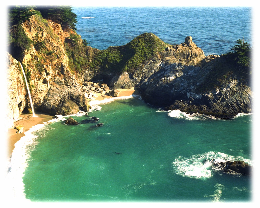
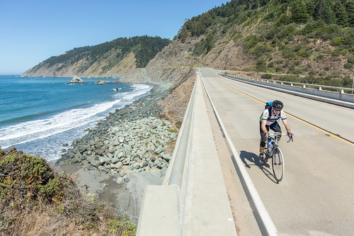
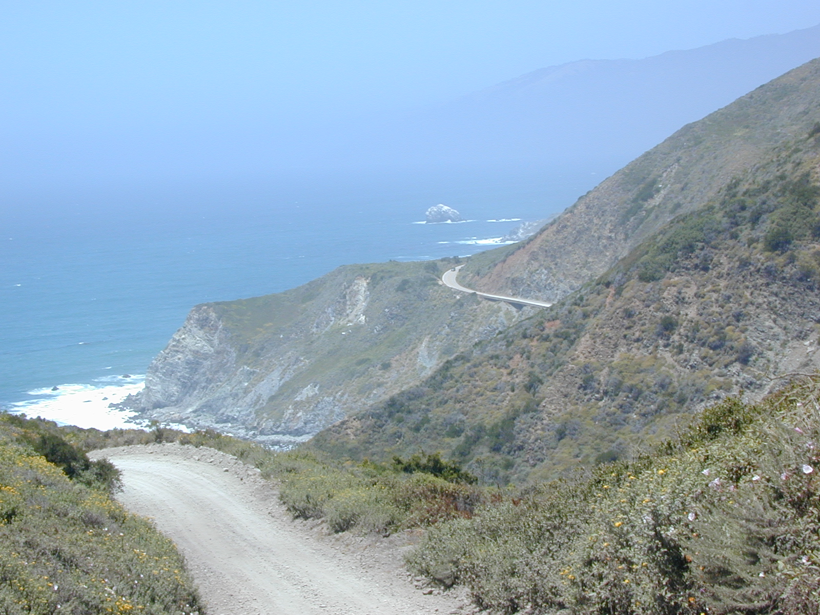
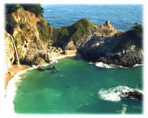
The super scenic Central Coast of California is home to numerous waterfalls, but this one on the Big Sur coast is, by far, the most well-known.

Since I camped out and slept on the cliff featured above, I thought I ought to create a post about it.

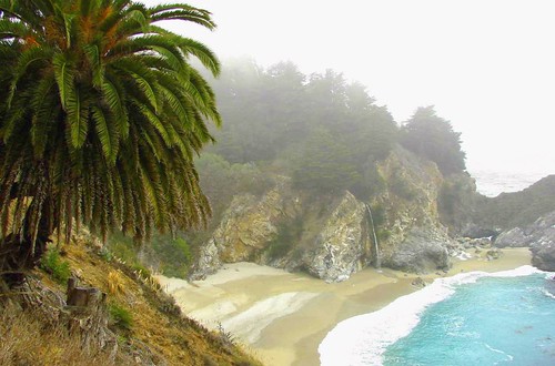
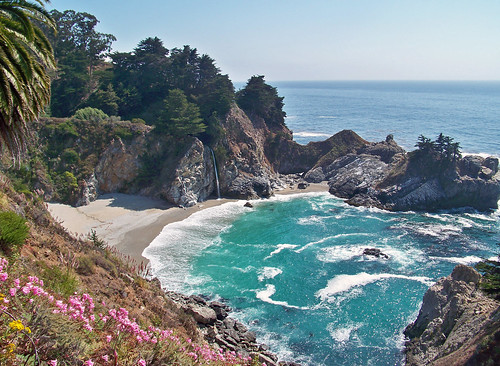
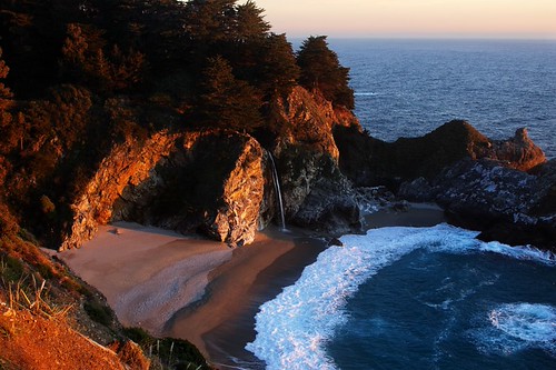
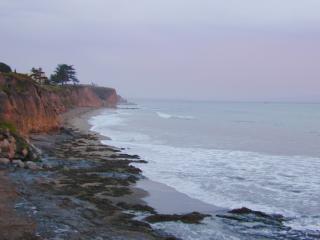
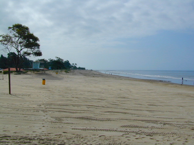
Julia Pfieffer Burns State Park is where the most photographed waterfall is located. The creek falls off of a cliff into a secluded cove, on a sandy beach just a few feet from the Pacific Ocean.

After visiting this place more than once, I knew I had to keep coming back. I even found this waterfall photo used as graphic marketing for Mexican Riveria cruises, by Costco.

But it’s not located in Mexico, nor Baja.
McWay is Big Sur!

specialview


hiker

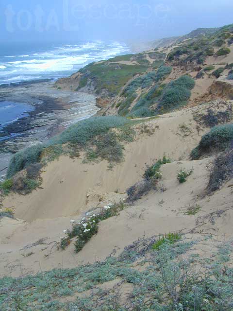
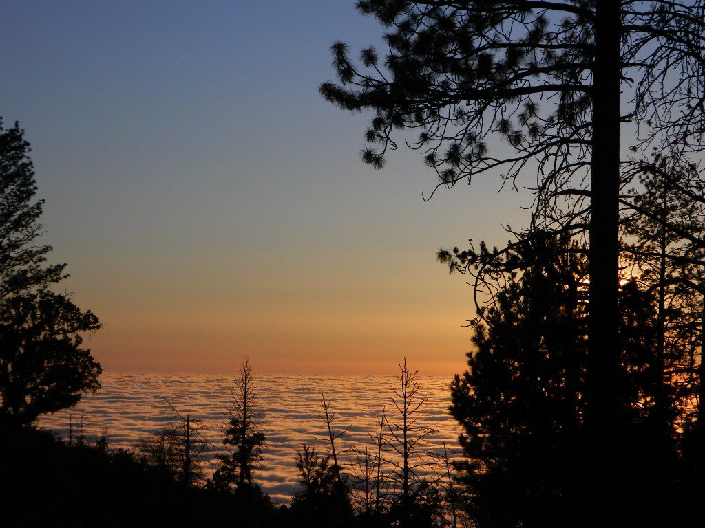
One sunny autumn day, I called my camping pals to join me on our pre-planned camping trip to the majestic Big Sur coastline. Not just any camping spot or campground, but the two rare, hike-in campsites – located above McWay Falls. The camp reservations had been made months in advance and I was eager to leave the smog basin of L.A.

One by one, all my friends backed out of their commitment to camp that weekend. Too busy at work, a wedding or other plans interfered, home improvements, or the typical lame excuses that city folks always use not to travel locally.

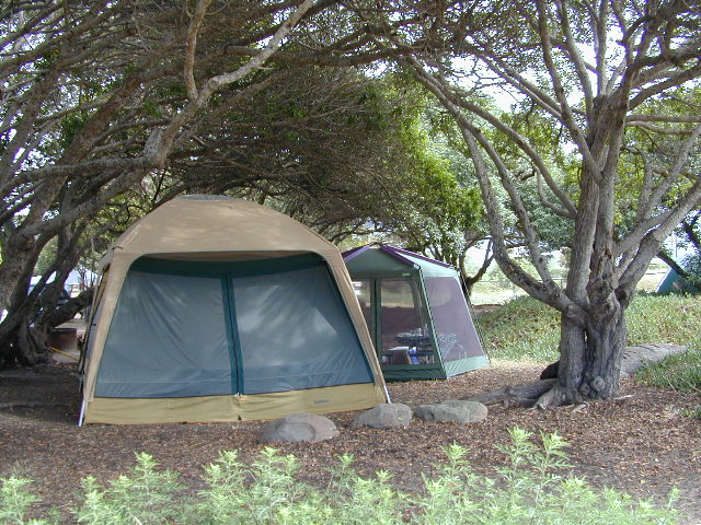
…only 2 camp sites exist here, perched on a forested cliff, overlooking a private sandy cove w/ a gorgeous waterfall

I thoroughly explained to them the spectacular scenery, the unique location, the advanced reservations and fees, and the carpooling options. But not one person could go, so I went anyway.

All alone; which may have been the start of me craving to camp solo (way back in 1995).

The California State Park system has named these as environmental camps, where you must haul your gear – a half mile, on foot, in order to reach these special campsites. Picnic tables and campfire rings are provided, along w/ one vault toilet. Although a real bathroom w/ flush toilets is within walking distance, over at the main paved parking lot.

California049.JPG

INACCESSIBLE:

The picturesque sandy cove is off limits to all = campers, hikers and climbers. New fencing and signs warn visitors not to enter the small beach cove area. Sheer, steep cliffs w/ erosion are unstable and dangerous; and you may have a citation awaiting you, on your climb back up.

Accessing the cliff edges or private cove is dangerous and difficult, and totally off limits. If you wanna die trying, that’s up to you.

OVERNIGHT TIPS:

Reservations are needed to camp at this location. Contact California State Parks for booking this spot.

The ocean sounds of crashing waves on rocks is very, very loud. located just below (100 feet) the ideal camp sites. Bring ear plugs for sleeping.

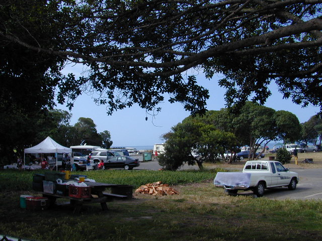
Leave food and cooking to the tailgate. Parking in the paved, forested parking lot, and not transporting food, ice chest and cookware back and forth is the lazy way. Since I was camping alone and the parking lot was secluded and full of vegetation, I decided to try minimal food at camp. Worked well for me.

Blackberry bushes are abundant around parking lot.

PANCAKES ANYONE?

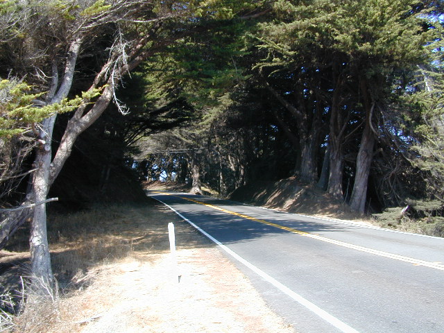
Danger looms around this State Park entrance, as Coast Highway 1 drivers tend to speed by at 55 mph, on a big shady curve. Be very careful crossing the road at this location and listen for traffic before you walk.

camp

TRAILS & DAY VISITORS:

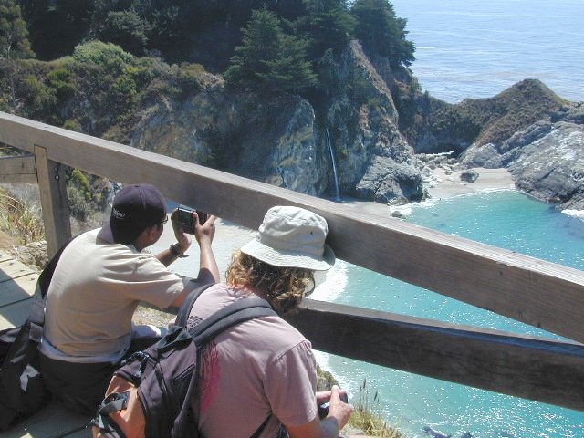
Swarms of tourists stop at this location, just to walk out, photograph and view this waterfall. Many pay top dollar (day use) to park and then stay less than an hour. The tunnel trail goes past a pelton wheel and then underneath the highway – skirting along the north shore of the cove. The State Park gate closes at sunset, so very few people will be found roaming around after sundown.

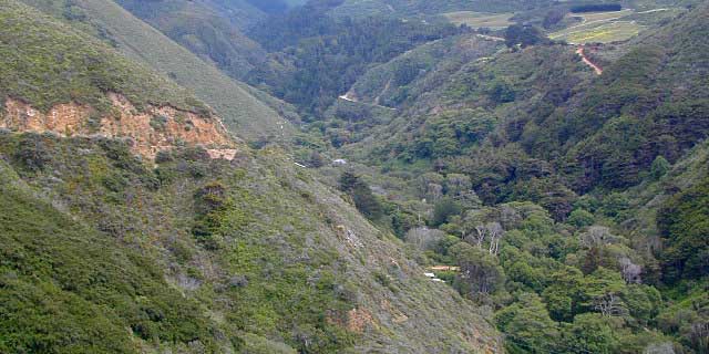
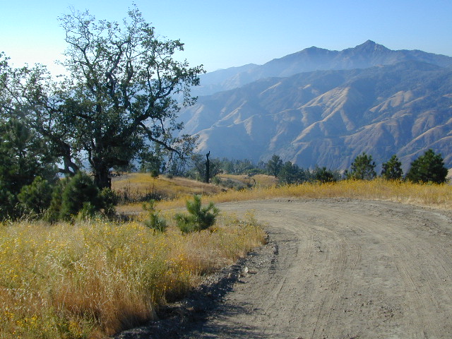
Just hiking around this park, plus the back and forth to camp and car will feel like you’ve walked many miles. There is a redwood canyon and creek hike located in the inland portion of the State Park. Mountain peaks here reach to about 3000′ elevation.

AUG 2020 UPDATE: WILDFIRES burning most of this State Park and Limekiln State Park. Not sure how  the cove looks now, or if it was affected, but expect the hills to be black, up above the highway.

Julia Pfeiffer Burns State Park

calsp52801 CA State Route 1, Big Sur, CA 93920
831-667-1112

View aerial photographs 

If there is a single most popular image of Big Sur, it is probably of the 80 foot falls seen from this trail as McWay Creek cascades onto the sandy shore. hikinginbigsur.com/hikes_mcwayfalls.html

pinetree

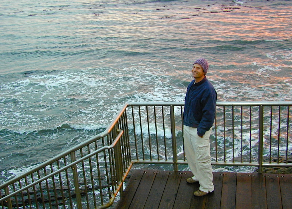
Even though I spent the warm weekend alone, camping on a waterfall cliff and hiking redwoods forests, I enjoyed myself and the seclusion. I did meet 2 surfers traveling in a vintage VW bus and they joined me for my tailgate dinner one evening. On  the last night, the weather turned windy and a storm came in, so the next morning I was happy to leave. So, for all the camping pals that backed out at the last minute, this 2020 post is for you.

McWay Falls...again!

McWay Falls, Big Sur, CA

Sunset at McWay Falls, Julia Pfeiffer Burns State Park

see also –

Monarch Butterfly Migration

Monarch

Monarch Butterflies, Pacific Grove

Monarch Butterfly Sanctuary

Each Autumn monarch butterflies invade the Pacific Grove region of California. A sanctuary has been established along this coastline.

Annual event: October
831-648-5716

Pacific Grove, CA

cityofpacificgrove.org/visiting/monarch-butterfly-sanctuary

Monarch Butterfly

Monarch Butterflies in a tree

Northern California Mountains

Mountains of Northern California / NorCal Mountain

California sure has a lot of mountains. West Coast land is home to the tallest Sierra Nevada range, plus the Cascade range, which extends northwards to Canada. (Many of which have volcanic peaks.)

We break down all the mountainous regions in the north part of the state below w/ links, topo maps, lakes, rivers, wilderness, parks and forests. Small towns & cities are linked in red.

sacramento river
Sacramento River, above Lake Shasta

North Coast Mountains

canoe
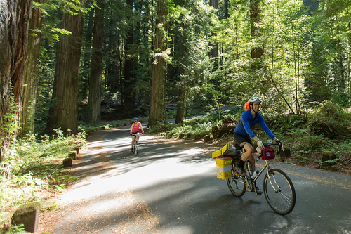
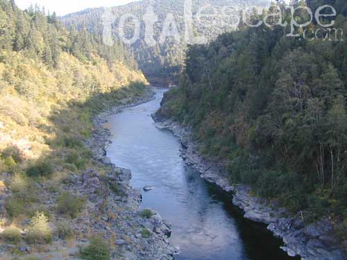
Redwood forests and rivers are what make up most of the Northwest part of California, just below the Oregon coast. Logging and fishing are the big industries up here. Lumber mill towns and camps still exists today. Wilderness areas, dirt back roads, river kayaking, stream fishing, camping and real wild indians. Oh yeah, and Big Foot!

The landscape in more dramatic along the North Coast of California, as the steep rocky terrain tumbles into the sea w/ the San Andreas fault running parallel to the shore. Marine life, rocky shores w/ small towns. Del Norte County & Humboldt County. Wild rainy weather, at least half the year; fog and sun the other half.

Six River National Forest

California towns near Redwoods & Mountains:

NorCal California

the North State

fishThe furthest north is Siskiyou County, which borders the state of Oregon. We have the Klamath River flowing south into California, with plenty of mountain peaks, forests and wilderness. Interstate 5, Highway 3 and Highway 96

Pacific Crest Trail passes through the area and backpacking is common (all year long). Notable spots – Klamath Knot and The Eddy’s. Prominent Mount Shasta is actually situated inside Siskiyou County, not Shasta.

Klamath National Forest

California towns near Klamath Mountains:

NorCal California

shasta

Shasta Trinity Mountains

Giant Mount Shasta is located inside Siskiyou County, and Shasta County & Trinity is everything located to the south of it. Interstate 5, Highway 3 and Highway 299. Recreational lakes, rivers and streams, and off roading trails.hiker

Waterfalls, hot springs, mountain biking and stream fishing can be found within this region. Mining history and museums are primarily situated around Weaverville. Houseboats and boat rentals can be found on the big reservoirs. Whiskeytown was totally toasted in wildfire of 2018. Alpine lakes, granite spires, campgrounds and cavern tours, all located along the Interstate 5 corridor.

Shasta Trinity National Forest

California towns near Trinity Alps & Shasta Forest:

Lee Fong Park
Beautiful park setting @ Lee Fong Park, in historic Weaverville, CA
River Beach Campground
Trinity River Camping, Douglas City, CA

Mendocino Mountains

dirtbikes
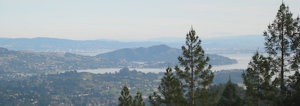
Coastal mountains located above the Napa & Sonoma wine country. US 101 & Highway 20. Rivers, forests, wilderness and redwoods is the key terrain that make up the Mendocino County mountains.

There is a fair amount of off road trails and dirt roads located in and around Mendocino, so you can expect to see 4x4s, dirt bikes and toy haulers on the east side of the mountain range. The coastal side of the Mendo National Forest will have the rivers and redwood parks.

Mendocino National Forest

California towns near Mendocino Mountains:

Spring Fouts Mendo
Fouts Springs Camping OHV

Plumas Mountains

pct
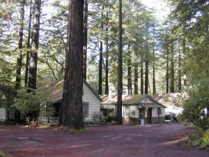
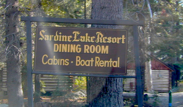
Northern Sierra Nevada mountains is where the granite rock of the Sierra meets to volcanic rock of Lassen Volcano.  Butte County and Plumas County is the Feather River drainage, all flowing south from Mount Lassen.

Pacific Crest Trail is routed through Bucks Lake Wilderness and the Feather River Canyon, so backpacking is popular. Highway 70

Plumas National Forest

California towns around the Plumas Mountains:

goldshore
Mini Gold Lake, near Silver Lake @ Bucks

Lassen Mountains

snowmo
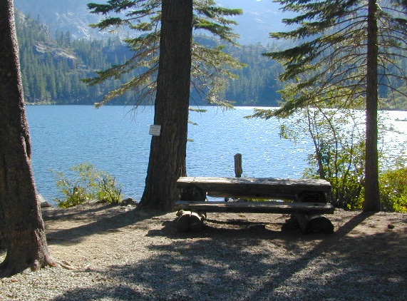
Technically speaking, the Susan River is the top waterway of the Sierra Nevada mountains. Lassen County spans the distance from the Nevada state line, west to Plumas forest and the Feather Rivers (all 4 forks).

Lassen Peak is the middle of the National Park and the National Forest totally surrounds that. Numerous lakes, hiking trails, wilderness areas and dirt roads make up this huge forested area. Snow-mobiling is popular in winter months around the town of Chester.

Lassen National Forest

California towns around the Lassen Mountains:

nlassen
Camping N Lassen

Northeast California

The far northeast corner of the golden state is the remote cattle range lands of Modoc Country inside Modoc County. Drier than the rest of NorCal, the high desert sage brush meadows, a few lakes and pine forest mountains. Highway 299 & US 395

Modoc National Forest

California towns near Modoc Mountains:

mill creek falls
Mill Creek Falls in Modoc

Los Padres Topo

Los Padres Monterey

Los Padres National Forest Maps

Los Padres atlas
Los Padres National Forest USDA Topographic Atlas

7 minute QUADS (topo maps) inside a spiral bound book. Covers both north & south part of Los Padres National Forest. This map book can be found at ranger station – Los Padres USFS or click the book above to take you to the Total Escape Map Shop!

Los Padres Monterey Los Padres Ojai

Waterproof plastic map; USDA National Forest Service Maps

Additional topo maps for Los Padres region –

Forests

see more about Los Padres National Forest

Big Sur Coast

dirtbikeshiker

Links for Los Padres National Forest destinations

hwy33overlook
North of Ojai, CA – Highway 33 winds up to Los Padres NF

San Rafael Wilderness

Sierra Madre Mountains
Cachuma Lake to Cuyama Valley

Sierra Madre Mountains

197,380 acres
Central Coast Foothills
Los Padres National Forest

NFSlogo
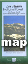
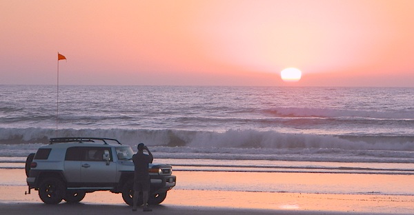
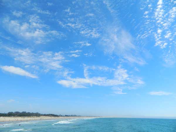
North of Santa Barbara, CA
East of Santa Maria, CA
South of New Cuyama, CA
West of Ventucopa, CA

San Rafael Wilderness is otherwise known as the Santa Barbara backcountry. The Sierra Madre mountains and San Rafael mountains make up the this chunk of wilderness, a vast open space near the coast – which extends from Lake Cachuma to the Cuyama River Valley. This is the southern ridge line along Highway 166, with few pine trees, mostly oaks, leading west to Santa Maria River.

hikerFigueroa Mountain and Lake Cachuma are to the south near Santa Barbara. Vineyards and wineries skirt the western hills of Santa Maria, cattle grazing, oil fields and agriculture line the northern borders near Cuyama Valley. Dick Smith Wilderness is just to the east a little bit, spanning over toward Hwy 33.

OHV: better known as off-roading and dirt biking is common in the foothills behind Santa Barbara, as well as on the west side of the San Rafael Wilderness, near Miranda Pine and Tepusquet Road. Numerous small campgrounds on dirt roads are positioned around the perimeter, but no OHV trails lead into the wilderness areas.

McPherson Peak – 5749′ elevation
Peak Mountain – 5843′DSCN5759
Timber Peak – 4764′
Miranda Pine Mountain – 4120′
Wheat Peak – 2436′

trailheads –

  • via Figueroa Road #8N09
  • Cachuma Saddle
  • Davy Brown
  • McPherson Peak, on Sierra Madre Ridge
  • Painted Rock, on Sierra Madre Ridge
  • Santa Barbara Canyon, off Hwy 166

developed campgrounds surrounding the wilderness

  • Davy Brown Campground
  • Nira Campground
  • Cachuma Campground
  • Figueroa Campground
  • Manzana Schoolhouse
  • Colson Canyon (OHV) #11N04
  • Brookshire Springs
  • Miranda Pine #11N03
  • Horseshoe Springs
  • Lazy Campground
  • Wagon Flat Campground
  • Barrel Springs #10N06
  • Alesandro Campground

back road access –

  • Figueroa Mountain Road #8N09
  • Tepusquet Road, off Hwy 166
  • Miranda Pine Road #11N03
  • Sierra Madre Ridge Road #32S13
  • Cottonwood Canyon Rd @ Hwy 166
  • Santa Barbara Canyon Rd, off Hwy 166

indian rock art

Native American petroglyphs can be found in this remote region of Central California, but may require topographic skills, detective work, trekking and at least a full day of physical action.

PigPen Trailhead

Access to ”Painted Rock” on Sierra Madre ridge is hike/bike in only. The dirt road that access these trailheads are rough road and not maintained. High clearance may be needed. This day trip is an all-day adventure and you might want to consider bringing the mountain bike. Just stay on the road, as rangers will ticket for riding in the designated Wilderness Areas.

from the west – If you plan to visit the rock art from the west side, take Cottonwood Canyon (small sign) turn off of Hwy 166. Pay attention to private property signs, cuz the locals are serious about their lands. Keep on driving up the mountain. Above Bates Canyon Campground up on the ridge, turn left, east on dirt road #32S13 – proceed several miles to the dirt parking area at the pig pen w/ locked gated and signed trailhead.

from the east – dirt road hike is about 10 miles (one way) and it starts at the Santa Barbara Canyon trailhead @ locked gated. Rural back road access requires a good topo map. Find Cuyama River @ Hwy 166, take the route on west side of bridge. East of New Cuyama, CA

nearby towns –

Driving on the Beach

beach sunset

Driving on the Beach in California

Gone are the days of ‘beach blanket bingo’ where film crews glamorized California – the beautiful people, the nice vehicles, the sport of surfing and the glorious beaches. There are very few places left on the California coast that you can actually drive a vehicle on the sand, right next to the ocean. The military bases, oil corporations and the utility companies have the front row seats to the Pacific genocide, and the rest of the population is restricted with extreme limited access.

Baja California has minimal regulations on coastal access with a car. No pavement, no signs, no cell phone signal, and no help for miles – something to consider if you get stuck south of the border in Mexico. Baja has numerous places to explore below Ensenada, but asking locals is always a favored approach. Pay attention to private property signs and always close the cattle gate (if you found it closed).

silverstrand

Southern California, no beaches allow vehicle traffic. San Diego offers a sliver of sand @ Silver Strand SB, which is a developed campground for motorhomes and car campers, located right on the beach south of Coronado, CA. Fiesta Island in Mission Bay, San Diego allows driving on sand and a favorite among active dogs, but not camping is allowed. In Los Angeles you can park a motorhome at a sandy, paved campground for a hefty overnight fee. Dockweiler Beach, right near the Chevron plant and LA sewage treatment facility. Sounds delightful, not.

Ventura & Santa Barbara Coastal Regions have many awesome State Beaches, but none allow vehicles on the sand.

AWD on the sand

Central Coast California:

  • Oceano SVRA – off road sand dunes and open camping on the beach. Day use or overnight camp fee required; near Pismo Beach, CA
  • Red, White and Blue Beach – nude beach w/ campground (now closed); north of Santa Cruz, CA

Northern California:
Lost Coast

  • Usal Beach Campground – redwood creeks and forests meets coast and cliffs. Camp fee for overnight use. Long dirt road access. No RVs!
  • Black Sands Beach (OHV 4×4 trail, now closed to all vehicles) near Shelter Cove, CA

chico couple

after-the-fun maintenance tip:

Salt water and sand is very corrosive to metal – which will rust your truck or car badly. Now that you’ve had fun on the beach, we remind you to clean the underneath of your vehicle ASAP. Spraying powerful hose in your wheel wells and all underneath the vehicle. You might need to lay on the ground and get wet to do this job properly. Some car wash places might be able to do this service for you, but it will cost ya.

Campgrounds Beach

California Campgrounds –
Camping at the Beach

Costal Cliffs

Autumn and Spring are often the best months to enjoy the (somewhat) uncrowded coastline of California. Kids are in school, summer vacation rush is over, and there is plenty of sunshine before those winter storms come rolling in.

reservations are highly recommended

Anything & any place along the coast is “much desired”, worthy of charging for. From seaside restaurants to convenient, paid parking lots – face it – California can be expensive.

Beach camping is no different. Coast camping in California is abundant, but state run campgrounds will run you a pretty penny. Camping fees are well above $20 per night. If you want flush toilets in the bathroom and a level, paved spot for a big RV, it will cost even more. Make sure to reserve a campsite as far ahead as possible. Ask about off-season months to visit.

Privately run campgrounds are often more expensive, but they might be a nicer facility and be in a better location. If you want free camping, then head to the northern part of the state – and take a dirt road to reach your seclusion. Both the Big Sur and Lost Coast both have excellent dispersed camping on backroads, at no charge, and a campfire permit is required for such camping.

Campgrounds situated on a sandy beach or right on a cliff edge overlooking the ocean. Private cove camp sites, tent cabin rentals, yurt resorts, RV campgrounds; Several coastal canyons (from sycamores to redwoods) usually have creeks and abundant camping options.

Pismo Clear Winter Day

Campgrounds Beach: a popular search phrase for camping near the coast in California. The best months to camp along the coast depends on what part of California you wish to visit – at what time of the year.

With 700 miles of ocean front there is a lot to choose from – RV parks w/ small marina, 4×4 camps, hike-in only sites, and plenty of California State Parks & Beaches.

Much of the coastal camping is NOT “on-the-sand” beach camping. Most of the coastline in California is rugged, some forested and usually full of ‘wildfire prone’ chaparral. Cliffside campgrounds, redwood canyons with creeks, green grassy lawns w/ shade trees and paved camp sites, US 101 busy, freeway campgrounds; all are close enough to the shore to be considered COASTAL camping.

Tents at Capinteria
Tents at Capinteria SB

Even in winter, the coast can be quite mild in Southern Cal, so the campgrounds are open all year long. NorCal Coast gets the brunt of WET & COLD winter weather, so those camps are open seasonally, during warmer, drier months (APRIL-OCT).

JUNE GLOOM is a cloud layer that covers the coastline in the early part of summer. Weather is warm to cool with clouds, or the weather can be bright and sunny – if the marine layer ‘burns off’ by mid-day. Consider these local weather patterns, May Gray & June Gloom, when planning a vacation to the beaches of California.

listed from south to north

Southern California Beach Camping

Coronado Island
San Diego Beach Camping
Encinitas
Carlsbad
Orange County Beach Camping
San Clemente
Dana Point
Laguna Beach

carpinteriabeach

carpfirewood

Los Angeles Beach Camping

Bolsa Chica State Beach
Capinteria SB
Doheny State Beach
Malibu Creek State Park
Ventura Coast Camping

Coast Campgrounds


Central Coast Beach Camping

Santa Barbara Beach Camping
Pismo Beach Camping
Morro Bay Camping
Big Sur Campground

marina

Monterey Bay Camping

Monterey Bay Camping
Half Moon Bay
Santa Cruz Camping
Santa Cruz Redwoods

Angel Island

San Francisco Camping

Point Reyes Camping
Marin Redwoods Camping
Sonoma Coast – Camping Jenner

Northern California Coast Camping

Mendocino Coast
Kings Range
Lost Coast: Shelter Cove
Usal Beach Campground
NorCal Redwoods Camping
Crescent City Camping

Stairwell to Beach


Los Padres Group Campgrounds

Los Padres Group Camping – Big Sur, Monterey & Ojai, California

Los Padres Forest is the SoCal camping mecca. Pinyon forests & peaks of nearly 9000′ make this the highest elevations of Kern County. This coastal forest on the San Andreas Fault burns bad due to winds & wildfires, but there is plenty back country to enjoy with minimal crowds – as long as camp fire safety is key.

Southern Los Padres National Forest operates Group Campgrounds for reservations. Several back country camp spots can accommodate a large group. Mount Able’s Camp-O-Alto and Mount Pinos’ Chula Vista walk-in camp can both handle a big crowd, but you may need to call the Lockwood Valley ranger station for more info and availability.

Northern Los Padres – Hwy 1 around the Big Sur/Monterey CA region has 2 Group Campgrounds w/ facilities, flush toilets & reservations online.

Los Padres Group Campgrounds:

campground elev people veg toilet water notes
Arroyo Seco Group Camp 1000′ 49 mixed flush piped Carmel Valley, Greenfield
Holiday Group Camp 2000′ 8 oak vault piped N of Ojai
Plaskett Creek Campsite 600′ 45 pines flush piped South Big Sur coast
Sage Hill Campground 1200′ 50 sycamore flush piped Lake Cachuma

If you are seeking regular campgrounds that take reservations and do not need a large group site, then follow this link below for all other Los Padres campsites.

https://totalescape.com/outside/campsites/los-padres-camping/

Los Padres Camps

Plaskett Campground is across the road from Sand Dollar Beach, a popular day use area. California Coast Campground – the infamous Central Coast Highway – Hwy 1 (so you may hear traffic @ this camp)

camptruck

Hungry Valley SVRA – off-road park located near Interstate 5 @ Gorman, accommodates large and small groups with numerous campgrounds. Expect busy weekends and crowds; sometimes snow during winter months.

Ballinger Canyon OHV Park – off road park near Cuyama River Valley, on Hwy 33 near junction w/ Hwy 166. Campgrounds suited for off-road campers and RVs. Dirt bike trails, off road routes; North of Quatal Canyon (Rd #9N09) & Chumash Wilderness.

maps of Los Padres Central Coast-


Big Sur Campground

Big Sur Camping Sites & Campgrounds

big sur camping

Plaskett Creek Campground has green lawns, pine trees, & flush toilets. Located across the highway from Sand Dollar Beach, right on Hwy 1. Ponderosa Campground, on the other hand, has native grasses, oak trees, a seasonal creek and is located on a paved back road, with easy access from US Hwy 101

Central Coast Camping

Monterey Ranger District of Los Padres National Forest manages several Campgrounds along the Central Coast. Some are first come, first serve.

aldercamp
Alder Creek Camp
willowcreekrdsign
Willow Creek Road #23S01

hikes

Los Padres National Forest

Backpacking trails lead into the wilderness backcountry, along ridge lines with vast ocean views and also deep into fern creeks with redwood canyons. Sykes Hot Springs is a remote destination, if you like to hike, although summer can get crowded. Overnight wilderness permits and campfire permits may be needed.

mcwayfalls
McWay Falls @ Julia Pfieffer Burns SP

Free camping in Big Sur
can be found on dirt back roads:

primitive camp sites

DISPERSED CAMP: No charge camp sites means dirt road access, tighter camp fire restrictions & no facilities (table, bathrooms, fire pits). Campfire permits are required for primitive camping (stoves & BBQ), but unfortunately much of the time camp fires are not even allowed in the backcountry due to extreme wildfire danger.

None of these free camp sites are located on the beach or ocean shoreline. They are situated in the mountains near the coast.  These premium, hard to find camp spots usually require that you venture off the beaten path – w/ a National Forest map or regional topo map. If you want to camp without the tourists and crowds, with excellent views of the coast & the night sky, plus avoiding all fees – then take one of these dirt roads off the main highway & start exploring (preferably before sunset, with a high clearance vehicle).

prewittroads

Free camping California

Big Sur Private Campgrounds –

camp

Big Sur State Park Campgrounds –CA state parks

Big Sur Coastal Towns –

Prewitt Ridge Camping

Orange County Beach Camping

Orange County Coastal Camping

OC Beach Campgrounds

The overdeveloped Orange County coast is packed with condos, homes, parks and beaches, coastal villages, restaurants, shops and train tracks, so campgrounds in this region are few and far more popular than one might expect. Since Los Angeles has very limited beach camping options, most tourists wander further south for SoCal beach camping on the OC or San Diego coast line.

blue links lead to State Park pages with camp reservations.

State Park

Orange County Coast Campground reservations are highly recommended all year long, so make sure to plan ahead.

pierscene

Bolsa Chica State Park
Huntington Beach, CA

Crystal Cove State Park
Tent Camp & Beach Cottages
Laguna Beach, CA

Doheny State Beach
Dana Point, CA

Huntington State Beach
Huntington Beach, CA

Newport Canals

Newport Dunes RV Resort
Newport Beach Resort & Marina
Newport Beach, CA

San Clemente State Beach
San Clemente CA


DSCN0037

see more on OC towns –
Seal Beach, CA
Huntington Beach, CA
Newport Beach, CA
Laguna Beach, CA
Dana Point, CA
Capistrano Beach
San Clemente CA

San Diego Beach Camping

Coastal Cliffs San Diego

San Diego Coastal Campgrounds
Mission Bay & North County
SD Beach RV Parks & Camping

RV camps camp

San Diego’s mild climate means camping is available all year round. Winter storms can get windy and rainy, but most campgrounds are still open. From north county where the coastal cliffs overlook the ocean, to downtown bay side marinas w/ RV camping, to camping right on the sand w/ ocean crashing just feet away. Bike paths are common around downtown San Diego, so you can bring your bike or skates.

San Diego has 2 BAYS, both located along Interstate 5: The main bay downtown is called San Diego Bay (one of the deepest on the west coast) and the other a few miles north, is named Mission Bay (a man-made coastal waterway w/ green parks and paved bike trails).

Reservations are required at almost ALL coastal campgrounds, especially around holidays, any 3 day weekends, and all summer long. Tons of tourists flock to Southern California and this is a very popular coastline – with busy little cities and crowded beach towns. Beware: if you are seeking secluded camping – this would not be the place.

Best Beaches

listed from south to north

Carlsbad Cliffs

There are numerous private RV resorts, some quite large, like KOA and GoodSam parks located in and around San Diego county. Most are metro-close and not located on the beach. This list is primarily coastal camping options for the San Diego region.

camping SoCal

Seagulls at Cardiff

see also
San Diego Campground Camping

see a list of all
San Diego cities & towns

baybridge

San Diego Camping

Mendocino Beach Camping

Mendocino Coast Campgrounds

villageoncliff
Tent camping directly on a sandy beach can be found at USAL BEACH – on remote reaches of the rugged Lost Coast, via long dirt roads (not recommended for RV or camper trailers). Numerous small, cheap, forested campgrounds can be found on the Kings Range (dirt) roads. The area is also known as Honeydew or the Emerald Triangle. The “emerald” comes from the color of the main economic staple, cannabis. Heed all warnings. Private Property signs and gates mean that you need to turn arund and look for camping elsewhere. (Before you hear the gun shots.)

The remainder of camp accommodations are State Parks and State Beaches on the Mendo coast, offering developed campgrounds and most are first come, first serve. 

There are no campgrounds inside the popular, historic village of Mendocino, CA , but two state parks are within a mile to the north and south side of town: Van Damme Campground & Russian Gulch Campground. Local KOA and a few private RV parks make up the rest of the scenic coastline.

Lost Coast Camping BLM

Kings Range National Conservation Area

camp on the sand

Lost Coast Bridge

Westport Union Landing State Beach

MacKerricher State Park

  • Pinewood Campground
  • Surfwood Campground

dscn0083

Fort Bragg, California Campgrounds

Cleone Campground

Hidden Pines Camp & RV Park

Jug Handle Creek Farm & Campground

Pomo RV Park & Campground

Sportsmans RV Park

Woodside RV Park & Campground

Caspar Beach RV Park Campground

Camping Mendocino Village Area

Mendocino Coast Village

Mendocino Coast –
Albion, Pt. Arena & Gualala

camp

Manchester State Park

Manchester KOA Campground

Anchor Bay Campground @ Fish Rock Beach

Gualala River Redwood Park

Redwood forest

Mendocino Coast towns:
Albion
Caspar
Elk
Fort Bragg
Gualala
Little River
Mendocino

California Romantic Resorts

Ahwahnee Yosemite Valley
The Ahwahnee, Yosemite Valley

Favorite romantic places in California. Stay overnight, have dinner nearby & make a night of it, or perhaps a whole weekend. Certain places may require a 2-night minimum stay, especially on weekends or any holiday weeks. A wide variety of destinations are listed below, from rustic mountain cabins, to palm oasis hot springs, to historic lodges located in a spectacular scenic setting.

Neighboring lodges or nearby small towns could have equally as nice accommodations, perhaps still affordable, quaint, uncrowded, and “undiscovered” by the masses. Call the innkeeper and ask questions. They should be thrilled to hear from you.

SnowMo CaliforniaWINTER NOTE: Some of these remote locations may not be open year-round, due to snowy weather, so please confirm by phone before you make the drive. Tioga Pass Resort may require a snow-mobile to access.

romantic holiday vacations

mid-winter escapes

valentine romance ideas

California Romance (starts here)

desert California

Hotel Del Coronado near San Diego

Julian Historic Hotel, Julian CA

Beachcomber Motel, San Clemente, CA

Benton Hot Springs, N of Bishop, CA

Blue Lantern Inn in Dana Point Marina

Cambria, on Moonstone Beach, Central Coast

Camp Nelson Lodge, Giant Sequoia NM

Carmel-by-the-Sea, Monterey Bay California

Downieville River Inn, N Yuba River, Downieville CA

Furnace Creek Inn, historic Death Valley NP

La Fonda Hotel, Baja California

Laguna Beach – all of it, pretty much

Lantern Inn, hiking trails, Paradise, California

Lido Palms Resort Spa, Desert Hot Springs, CA

Lucia Lodge, Cottages on cliffs, North Big Sur

cottages miranda

Miranda Gardens, Redwood Cottages, NorCal

Panamint Springs Resort, Death Valley, CA

Rainbow Lodge, granite/river near Donner Pass

Sardine Lake Resort & Cabins, North Sierra

Tioga Pass Resort, Eastside Yosemite

Treebones Resort, Yurt Camping in Big Sur

Wine Country Towns $$$ – Napa Co / Sonoma Co

sardineresort

see also –

California Lighthouses

Lodge Resorts

NFS Rental Cabins & Fire Lookouts

Redwood Hotels

This new California Lodge List will grow as DanaMite finds more ideal places, deep in wilds of California.

Sierra Nevada Lakes

California North Coast

Northern CA Coast / Northern Coast of California

The redwood north coast of California is very forested region with many rivers & streams running throughout. Fishing, kayaking, rafting, camping & backpacking are all superb here. The wilderness rules, as the majority of the landscape is wild & untouched by development. Mountain ranges near the north California coast span in elevation from 1000′ to 8000′. The Klamath River, Eel River & Trinity River are the predominate waterways in this region, with designated National Forest lining their canyons. There are over 10 parks along the coast that feature the redwood trees as the main attraction. The ones listed below are the inland, mountainous areas of Northern California.

klamath river

Mendocino National Forest

Clear Lake, Kelseyville, Ukiah

north coast CA

Redwood National Park

Klamath, Orick

north coast CA

Six Rivers National Forests

north coast CA

Smith River Recreation Area

Crescent City, Orleans

Shopping Villages in California

Gold Country Village

Shopping Towns and Downtown Villages

Men bored shopping
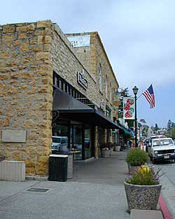
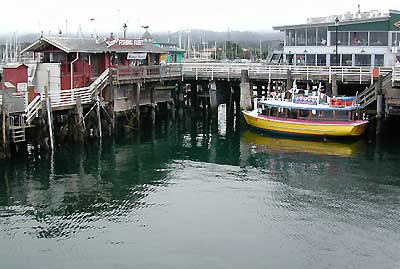
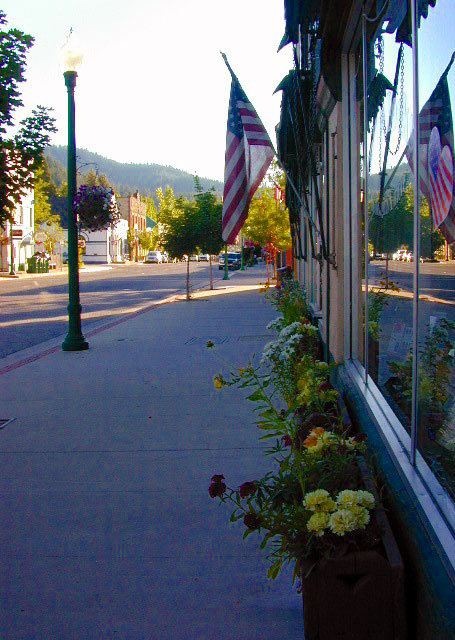
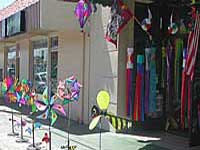
Listed on this page are California cities and towns that are well known for their shopping – downtown villages, boutiques, art galleries, gift shops, antique stores, shopping plazas, factory outlets, malls and restaurants.

Road trip weekends, all local – for super unique Christmas presents or romantic Valentine’s gifts.

Pumpkin Festival @ Half Moon Bay

Pumpkin Festival

Half Moon Bay Pumpkin Fest

This Pumpkin Festival is the one in Half Moon Bay, up near San Francisco. Been running nearly 50 years. Traditional, wholesome, family fun outdoor weekend on the coast near the Bay Area. Plenty of Campgrounds and Lodging nearby for visitors.

Annual event; October

HALF MOON BAY CA

pumpkinfest.miramarevents.com

The Big One

PA181004

Pumpkin Festival