Lockwood Valley Campgrounds: Chuchupate
Los Padres National Forest, Mount Pinos Ranger District
| campground | elev. | veg | toilet | water | comment | |
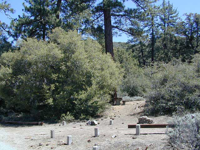
| Chuchupate | 6300′ | 29 | pines | vault | no | open year round |
open year round; campground reservations 805-434-1996
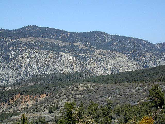
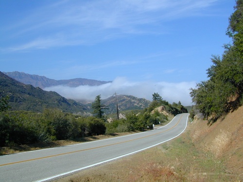
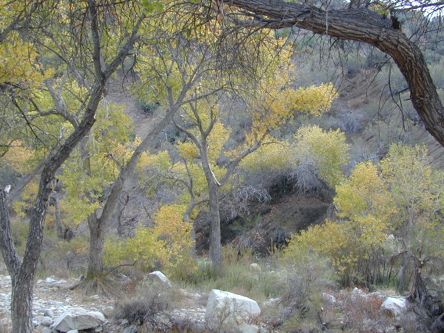
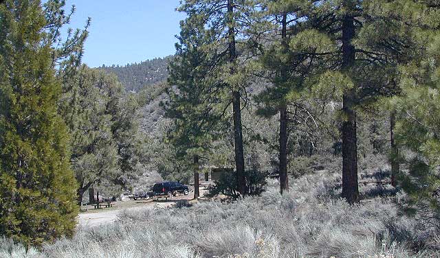
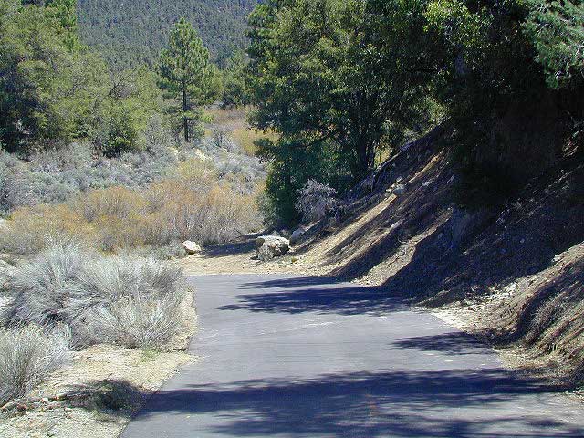
Pinyon w/ jeffrey pines, a high desert feel to this mountain side ideal camp – where the Mojave desert merges with the coastal ranges in Lockwood. Up high near the Tejon Pass @ Gorman. Sage brush slopes w/ forested campground is approx. 6 mi. off Lockwood Valley Rd. via paved road #8N04 (also called, Frazier Mountain Road).
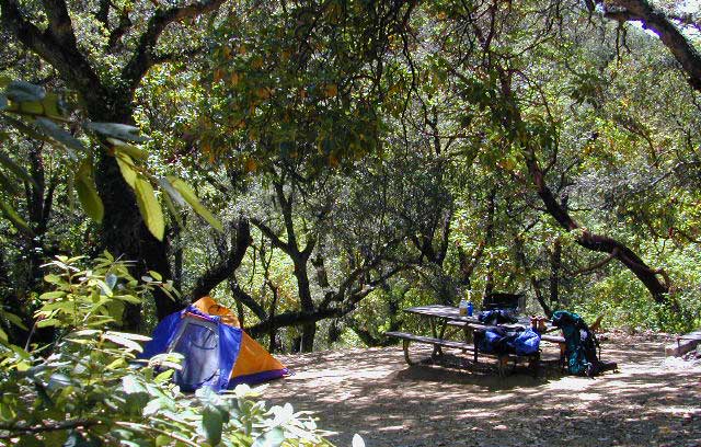
Adequate for RVs, small creeks around this camp provide
decent vegetation. The sites on the outside back loop are best
for shade & seclusion. Good for a base camp for the weekend
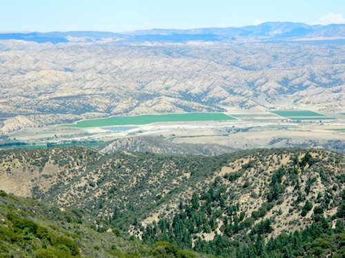
& drive out to see the rest of Los Padres National Forest.
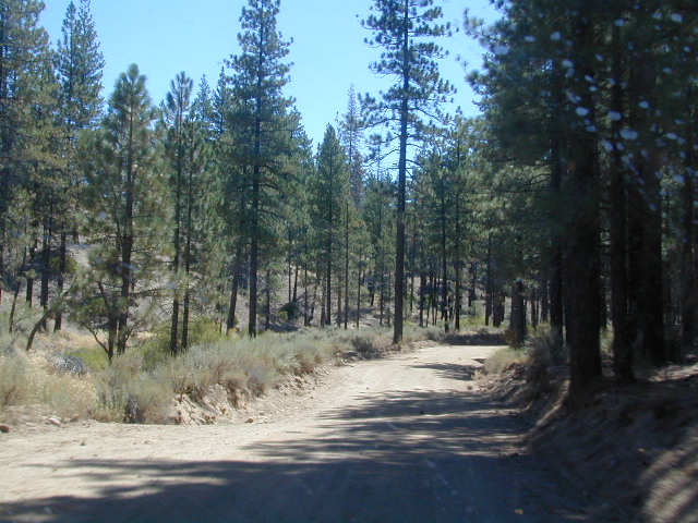
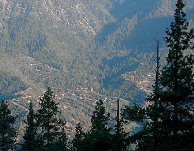
For the mtn. biker, this is a prime spot for hitting up the dirt
back roads on Frazier Mtn. Plenty of hiking and nice views
of the valley around too.
The easy to reach USFS campground can accommodate motorhomes, RVs, camper trailers up to 26 feet long. Paved access road is narrow and curvy and climbs the hill behind the large ranger station on Lockwood Valley Road.
Mt. Pinos Ranger District
34580 Lockwood Valley Rd
Frazier Park, CA
661-245-3731
-
backpack
-
camp
-
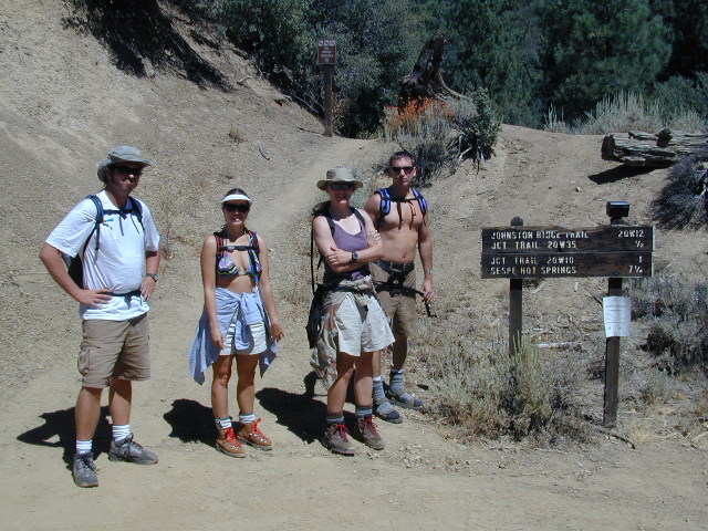
hike
-
horseback
-
mountain bike
-
off-road
-
picnic
-
stargaze
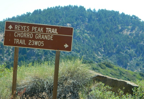
also nearby –
- Cherry Creek
- Chumash Wilderness
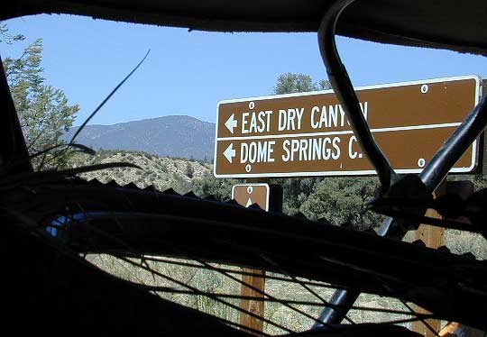
- Dome Springs
- Frazier Mountain
- Mount Pinos Recreation Area
- Quatal Canyon
- Reyes Peak @ Pine Mountain
- Sespe Hot Springs
- Sespe Wilderness