Tag Archives: Sespe Wilderness

Mount Pinos Recreation

Mount Pinos Camping

Mt Pinos Campgrounds – Los Padres Camping

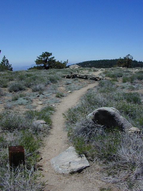
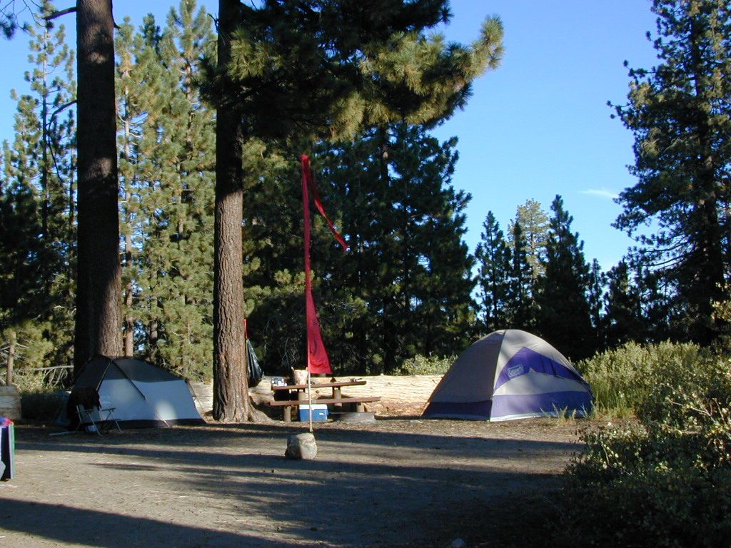
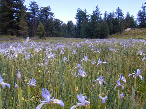
A little bit of high altitude, alpine forests in Southern Cal. Mount Pinos campgrounds are the ones on the way up to Mt Pinos 8831′ on the paved route to the top parking lot, Mount Pinos Road. Only 2 campgrounds take reservations & can be busy in summer months. Chula Vista Camp (at the top parking lot, short walk on trail) has an amazing wildflower meadow w/ group camp area. Drum circles are common on summer weekends.

  • backpacking
  • camping
  • hiking
  • mountain biking
  • sledding & snow play
  • stargazing

Drum Circle Camp

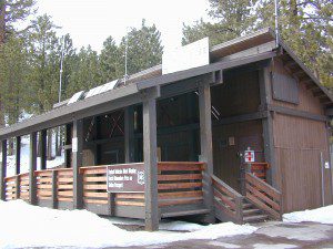
Mount Pinos parking lot is well known among RVers, astronomers & cross country skiers. If the 2 snow gates are open, you’ll find RVs camping out here until winter officially starts. The peak to peak trail from Mt Pinos to Mt Abel 8243′ starts at this parking area & trail head. Cool ski hut that no Forest Personnel every seems to be operating. Portable toilets available.
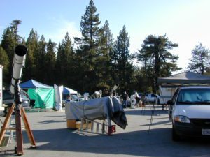
Pinos Star Party
Pinos Star Party

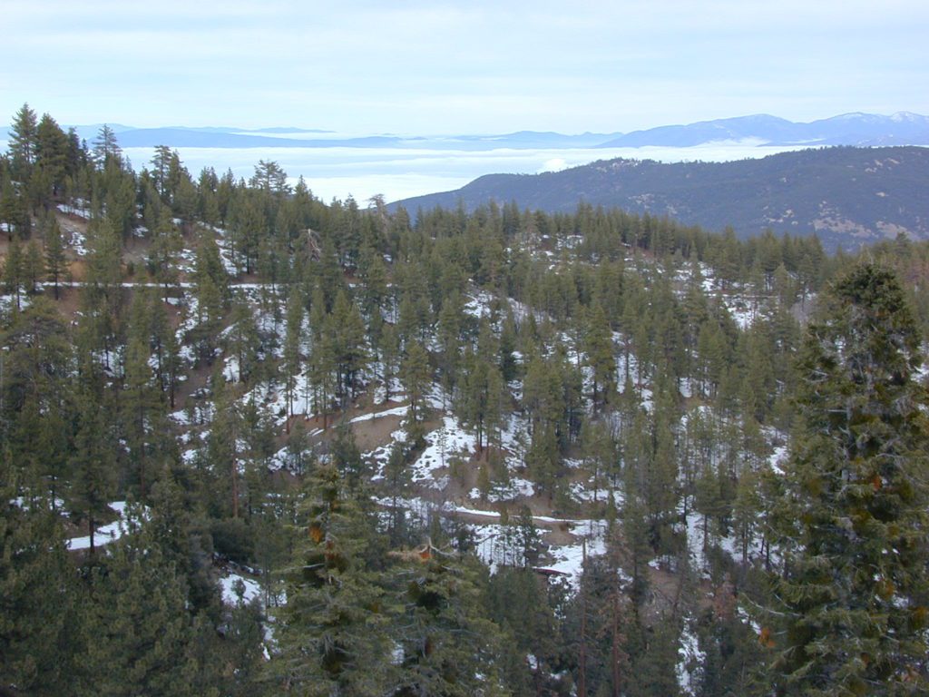
In the mid-winter, snow is almost guaranteed up here. Families & sledders flock to this region for snow play causing major traffic jams & parking problems. On the busiest of weekends w/ a recent snow storm, you may find several miles of vehicles, backed up from Pinos to the freeway (causing 10 miles of traffic jam in the mountains). It is not uncommon to see CHP managing traffic flow on the weekend. Snow play areas are located at the top on Pinos, if the gates are open.
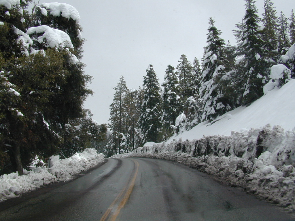
deepsnowhwy
Mil Potreo Highway, on a good winter 2005

If not the “Y” – where Cuddy Valley meets Mil Potrero Hwy. is the main snow-play destination. This is a very busy intersection at all times of the year, as it is the main route entering Pine Mountain Club, located 5 miles to the west. Be considerate! Do not litter and please park OFF THE PAVEMENT; keep kiddies, sleds & BBQs out of the road ways.
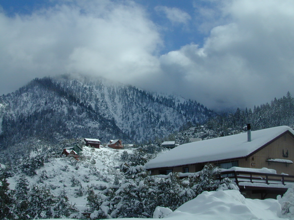
PMC 2005 snow
PMC 2005 epic snow
campground elev spots veg toilet water notes
Chula Vista Campground 8300′ 12 pines vault no walk-in sites & RV lot
McGill Campground 7500′ 50 pines vault seasonal closed in winter
Mount Pinos Campground 7800′ 19 pine vault seasonal closed in winter
Trails on Pinos
Trails on Pinos

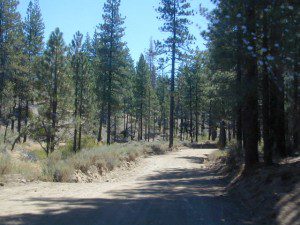
The pinyon pine forests surrounding Mount Pinos Recreation Area is Los Padres National Forest, where there is every kinda camping imaginable.

Outdoor resort communities such as Pine Mountain Club & Lockwood Valley Road are close by and surround the highest mountain peak in Kern County. Mil Potrero Campground, developed NFS Campground, open during summer only.

Rugged backpacking, or back road motorcycle 4×4 camps – with maybe one camp fire ring (still intact). Windwolves Preserve, Quatal Canyon, Cerro Noroeste, Valle Vista, Lockwood & Cuyama Valley.

NFSlogo

Group Camping Sites in Los Padres Forest
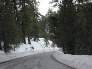
Winter Snows
Winter Snows – Gates Close

map of the regions –

Sierras from Pinos
Sierra Nevada Mountains, as seen from Pinos Road

nearby towns –

DSCN0036


Ojai Camping

ozenavalley
Highway 33 Camping Ojai, California

Los Padres National Forest / Ojai District:

campground elev spots veg toilet water notes
Holiday Group Camp 2000′ 8 oaks vault creek group site
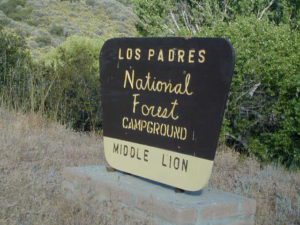
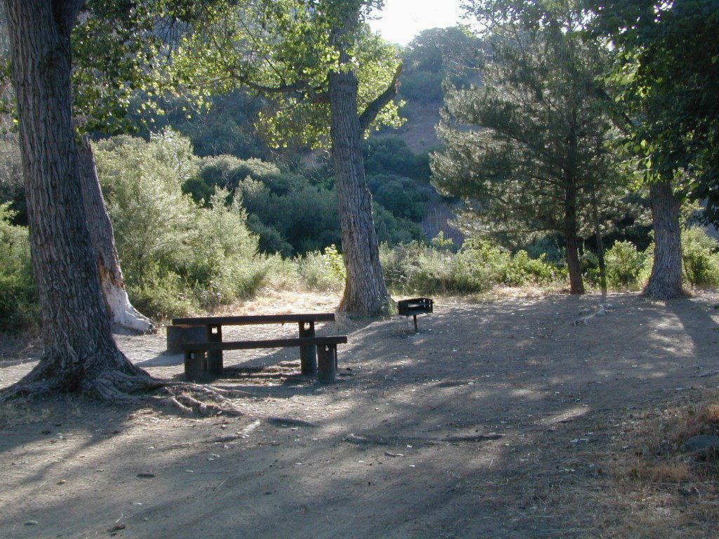
Middle Lion Campground 3150′ 8 oaks vault creek Rose Valley
Pine Mountain Camps 6650′ 6 pines vault no May-Nov
Reyes Peak Camp 7000′ 6 pines vault no May-Nov
Rose Valley Campground 3450′ 9 scrub vault creek Rose Valley Falls
Wheeler Gorge Campground 2000′ 73 oaks pit piped Matilija Creek
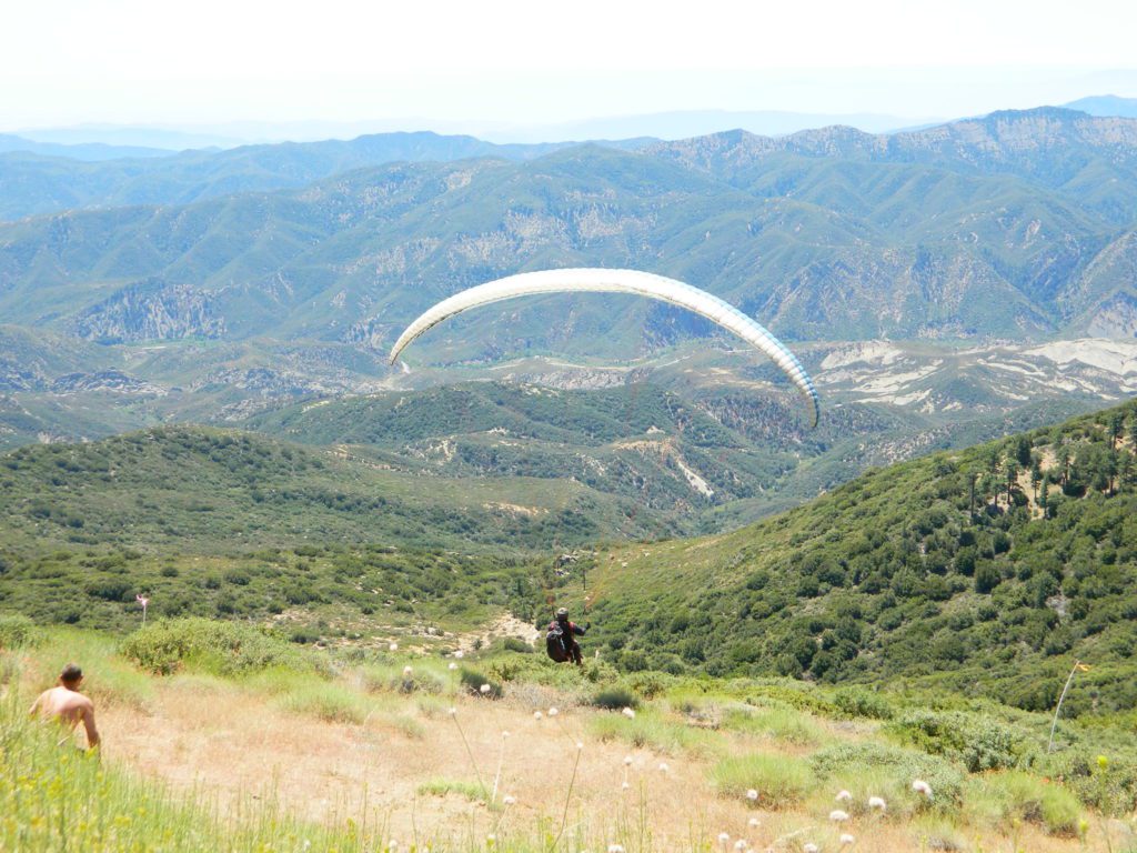
Launch @ Reyes Peak Trailhead

Los Padres National ForestNFS

see also –

middle lion campground
Creek Camping Lion
Creek Camping @ Lion
Piedras Blancas
Coastal Foothills and Fog with Piedras Blanca backdrop

primitive camp sitesFREE CAMPING
additional NFS camps in the region:

Chumash Quatal Canyon
Chumash Wilderness access via Quatal Canyon

Open Camping in Quatal Canyon
Hwy 33
@ Ventucopa, California. OHV trails and red dirt canyons; Hike into Chumash Wilderness.

The main road parallels the big wash. Quatal Road #9N09 is graded (annually) and usually passenger car accessible; side routes to camps in the big wash or up any canyons may require high clearance or 4WD vehicle. No services in this canyon at all; Cell service is minmal. Gasoline is somewhere along the hwy (near a pistachio orchard).

Wilderness Areas along Hwy 33backpacking Los Padres

map of the Los Padres region –

Los Padres mountain towns –

DSCN2342

Rose Valley Falls has a small campground at the trailhead


Sespe Wilderness

Sespe Wilderness & Hiking Trails

Los Padres National Forest
Campgrounds & Trailheads

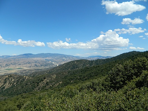
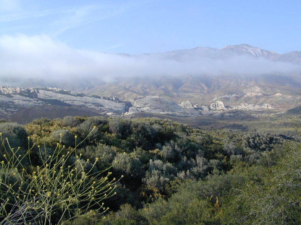
Sespe Wilderness is located in the mountains W of Interstate 5, North of Los Angeles. The chaparral region lies in between Lockwood Valley and the Santa Clara River Valley (Hwy 126). Higher elevation Mount Pinos lies to north side of Sespe and Ojai Valley to the south. The infamous 4×4 Miller Jeep Trail is located on the north side near Alamo Mountain, which is also accessible via Hungry Valley.

The 2006 Day Fire burnt a good portion of the Sespe Wilderness, so you can expect to see some black and toasted areas. Sespe Creek is also referred to as Sespe River. and certain waterways may dry up during drier months. Piru Creek, Alder Creek, Aqua Blanca Creek, Tarr Creek, Mutau Creek, Snowy Creek are several worthy of note. Expect heat and high temperature in the summer & fall month, and possible campfire restrictions during extreme wildfire season.

219,700 acres
6 areas of hiking trails

Los Padres National Forest
Lockwood Ranger Station
661-245-3731

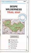
Sespe Trail Map
Sespe Trails, Tom Harrison Topographic Map

Sespe hiking trailheads located at –

Highway 126 – Fillmore, CA
Sespe Condor Sanctuary – Dough Flat Trailhead

Highway 150 – Ojai, CA
Sisar Canyon Day Hike / Road #4N15

Highway 33 – Ojai, CA
Rose Valley Road #6N31, Rose Valley Falls, Day Hike
Piedras Blanca Trailhead for the National Recreation Trail
Pine Mountain Rd # – Reyes Peak Trailhead

Lockwood Valley Road – Frazier Park, CA
Reyes Creek, Camp Shiedeck – Pine Mountain Trailhead
Half Moon Mutau Flat Trailhead, Sespe Hot Springs

Interstate 5 Tejon Pass @ Hungry Valley
Hard Luck Trailhead


rd7N03

Los Padres Campgrounds near Sespe Wilderness

  • Frazier Park Camping
  • Ojai Campgrounds
  • Twin Pines Campground, Road # 18N01
    Alamo Mountain via Hungry Valley OHV
  • Lockwood Creek Campground
  • Half Moon Campground, Lockwood #7N03
  • Thorn Meadows Campground, Lockwood #7N03
  • Dome Springs Campground, Lockwood #8N40
  • Reyes Creek Campground, Lockwood Valley Rd
  • Pine Mountain Road @ Reyes Peak (dispersed)
  • Nettle Springs Campground, Cuyama Hwy 33
  • Ozena Campground (closed)letswalk
  • Tinta Campground, Hwy 33
  • Rancho Nuevo Camp, Hwy 33
  • Rose Valley Campground, Hwy 33
  • Wheeler Gorge Campground, Hwy 33


nearby parks & lakes –

nearby towns –

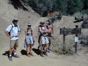
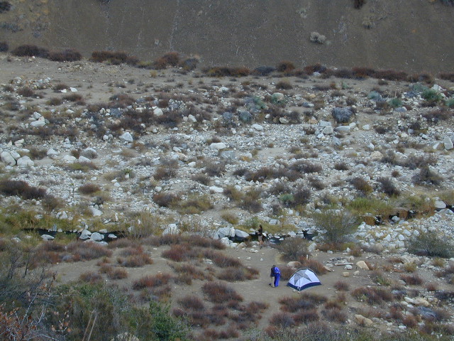
Backpackers at Sespe Hot Springs