Tag Archives: socal

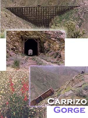
Carrizo Gorge Goat Trestle

,Carizzo Gorge

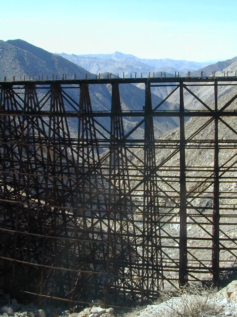
Carrizo Gorge Goat Trestle – via Mortero Wash. Near the south end of Anza Borrego State Park is the infamous ‘goat trestle’, one of the largest wooden rail road trestles in the US.
giant trestle desert

This hike can be reached by driving N on San Diego County Road S2 (from I-8) into Anza Borrego Desert State Park. Near the park boundary keep your eyes peeled for Mortero Canyon Rd (signed) on the left side. This is a sandy, one-lane, dirt road, accessible by passenger car, that leads out to the train tracks & then past to the Mortero Big Boulder campsites. Park at rail road tracks near water tank & start hike from here.

NOTE: Do not be alarmed if you happen to see NUDE hikers coming from the opposite end of this railway, where a nudist resort is located along Interstate 8, called De Anza Springs.

hike bike primitive camp sites

Carrizo Gorge Trestle
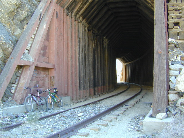
Railroad Tunnels, near Anza Borrego Desert

rail road history

San Diego & Arizona Eastern Railroad ­ SD&A/SD&AE

Ground was broken on September 7, 1907 by San Diego’s Mayor, John Forward and the construction of the 140 mile route was completed on November 15, 1919. The first through train was the called the “Golden Spike Limited”, named after the $286 golden spike, which John D Speckels drove into the ground near tunnel #8.

  • The Goat Canyon Trestle was built in 1932 to re-route tracks due to a landslide.
  • Passenger Cars Ran until 1951.
  • The route through Carriso Gorge was closed temporarily by Tropical Storm Kathleen in September of 1976.
  • And was reopened 1981, and then closed again by recurring storms.
  • Kyle Railways ran freight cars until mid 1984.

train

The Carriso Gorge section has fallen into disrepair with two trestles being burned and the collapse of two tunnels as the result of fires. The trestles have been rebuilt and one of the tunnels has been repaired – however,  this scenic section of track is used mostly by hikers and mountain bikers.

Goat Trestle Anza Borrego Desert

Other Facts: Derailed cars are from 1984 and were filled with bags of cement. Laborers were brought in to unload the cement but the cars were left. The Goat Canyon Trestle is 185″ tall and 600″ long. During its use it was the tallest wooden structure in daily use. Hence, this trestle was designated a Historic Civil Engineering Landmark in 1986. Carrizo means “reed grass” in Spanish. Total cost of construction was $18 million.

In 1979 the SD & AE west of Plaster City was sold to the Metropolitan Transit Development Board for $18.1 million. SD&A was said to stand for “Slow, Dirty and Aggravating” generally because of the high temperatures, smoke and open windowed trains cars.
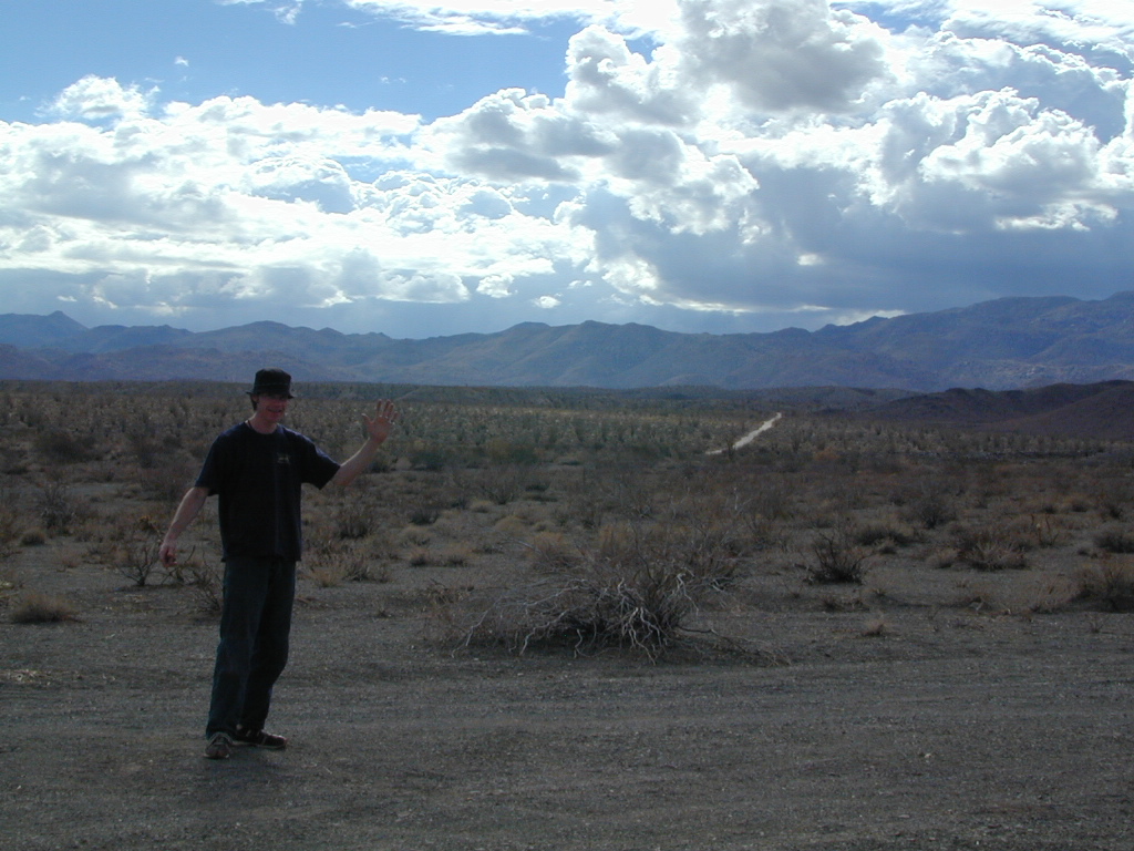
South end of Anza Borrego State Park
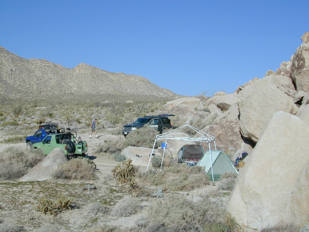
Dispersed camping
Dispersed camping (for free) in the Boulders

califrepublic

see more
RailRoads & Historic Train Towns in California

7S02 – San Berdu NF

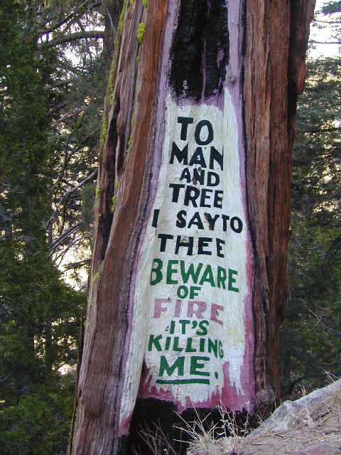
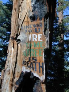
Fire Safe Trees

Toro Peak
Forest Road# 7S02

Santa Rosa Truck Trail
San Bernardino National Forest

South of Palm Desert, CA
Southeast of Idyllwild, CA
SE of Lake Hemet
Graded dirt road – southbound, off Palms to Pines Hwy 74

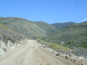
7S02 up hill

Road conditions on dirt roads change with the weather and the seasons. This route can be rocky and uneven in spots. One lane road, on a big hill w/ minimal pullouts. Snow is possible, during winter & springtime. This route often closed during winter months – or for rock slides. Trailers and RVs are not recommended on this dirt road, although small motorhome campers can try.

ROUTE CURRENTLY CLOSED? find out on USDA web site link

Elevation approx 6000′ @ HWY
w / route continuing up to Toro Peak @ 8740′NFS

NFS local camp sites: 

  • Santa Rosa Campground
  • Santa Rosa Springs Campground
  • Toro Campground

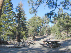
Bare bones, primitive camp sites. Tables, fire rings. Must have a campfire permit for this region. Vault toilets? None.

toro_campsite

Did I mention the wind yet? Tall trees do block a majority of the wind, but some areas get whipping – so choose your tent site wisely. And stake it down well, before that quick day hike. Since this is a mountain ridge line, expect thunderstorms, wind and possibly light snow.

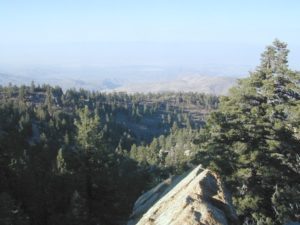
The big, famous Palm Canyon in Palm Springs starts below. The impressive desert canyon trails lead up to highway 74. Continue on foot uphill, southbound, cross the pavement, and end up in this Toro Peak region. Small campgrounds, few people, great views over the desert. Pick a smog free weekend (with wind) for best Coachella Valley views.

San Berdu Idyllwild SoCal

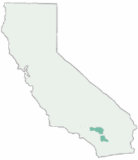
Santa Rosa Wilderness

Borrego Double Century

borrego bike race

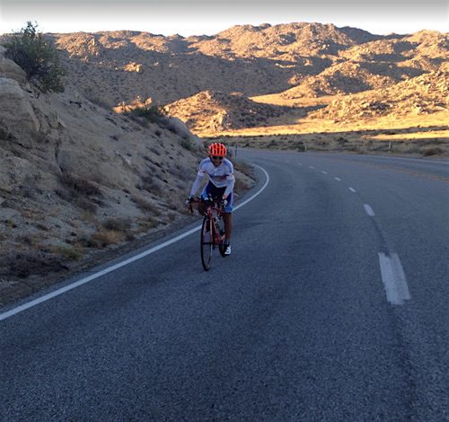
Borrego Double Century Ride

Anza Borrego desert annual bike event, riding from the desert to the coast and back. North San Diego County

500 rider limit
Total Mileage: 193 miles
Total Elevation: 14,400 feet

start & ends @
Stanlunds Inn
2771 Borrego Springs Rd.
Borrego Springs, California 92004
760-767-5501

Lunch at the beach – Oceanside, CA

Annual event; May

Borrego Springs CA

mtnhighcycling.com/Borrego_Double_Century

race lunch

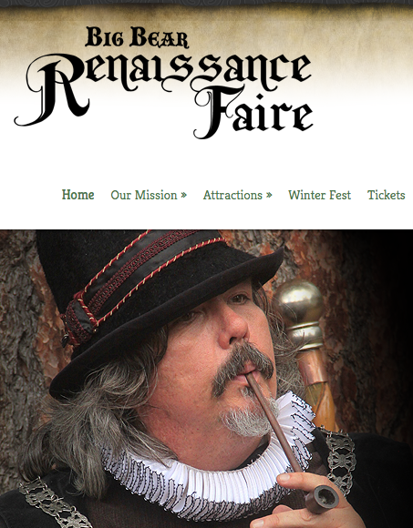
Big Bear Renaissance Faire

Big Bear Ren Faire

Big Bear Lake’s Renaissance Faire

Three weekends of fun, music and merriment. An authentic re-creation of an English Summer Faire. Visit an exciting, vibrant village where you can experience a joust, strolling entertainers, stage performances, beautiful handcrafts, delicious food and drink, children’s area and the spirit of the days of William Shakespeare and the Renaissance.

Meadow Park
41276 Park Ave.
Big Bear Lake, CA 92315

Annual event; August
909-237-0448

BIG BEAR, CA

bigbearrenfaire.org

Original Lobster Festival

Long Beach Lobster Festival

Long Beach Lobster Festival is now held in a new location, and is renamed:

The Original Lobster Festival

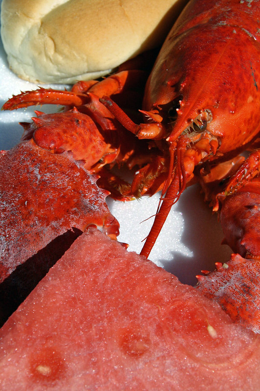
This event has been running over 25 years now. This Original Lobster Festival has become a tradition to over thousands of festival goers annually.

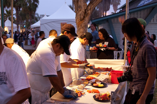
The event combines local popular artists, Swing, Salsa, R&B/Motown, Decades 70s/80s Dance Bands. Plus tons of Fresh Live Maine Lobsters steamed in the World’s Largest Cooker prepared and served by a Master Chef for that mouth watering taste, giant food court, children’s area, dance floor, two stages and beach bars to create the largest Lobster Festival outside of Maine.

Fountain Valley Sports Park
16400 Brookhurst Street
Fountain Valley, CA 92708

Annual event: September
562-495-5959

originallobsterfestival.com


Long Beach Lobster Festival

Vallecito – Anza Borrego

Vallecito Park, San Diego Desert

Anza Borrego Desert

Great Overland Stagecoach Route of 1849

East San Diego County Road S2 winds thru the lower passes & washes of Anza Borrego Desert State Park. On the edge of the State Park boundary Vallecito is a small campground & park, but it was a stage coach route in the 1800’s.

California Historic Marker #304

Vallecito

VALLECITO STAGE STOP – A 1934 reconstruction of Vallecito Stage Station (originally built in 1852) on the eastern slopes of the mountains in the high desert. A super important stop on the first official transcontinental route, serving ‘The Jackass Mail‘, the Butterfield Overland Stage Line, and the southern emigrant caravans.

backpacking, birdwatching, camping, cycling, hiking, mountain biking, off roading, stargazing, wildflowers

camp


Vallecito Campground
elev. 1555′
camp sites: 44
overnight fee
first come, first serve
reservations accepted
Campfire pits, picnic tables, bathrooms, & historic buildings; 22 sites are tents only. RV 40′ limit; Additional 8 equestrian campsites w/ corrals. No RV hookups, no dump station. No piped water. No gasoline, no store, no amenities. No firewood, no collecting of firewood. No shade trees, just tall desert brush. Arrive adequately prepared for real desert roughin it.

RV

Vallecito Stage Station County Park
760-765-1188
37349 Great Southern Overland Stage Route
County Road S2 @ mile marker 34.7
About 3.5 mi NW of Agua Caliente Hot Springs

Closed during the hottest months of summer: JUNE-AUG. Open seasonally: Labor Day weekend through the fall, winter and spring, up until the last week in May. 

camptruck

see also – Oriflamme Canyon / Mason Valley Truck Trail

muck to stagecoachA neighboring and very rural stage coach stop is further down a long wash, to the south east. Getting there usually requires 4×4, since you must ford a muddy desert wash w/ creek & deep holes. There are no signs out in this sandy desert wash, so you best have a good map and a compass.

The Old Carrizo Stage Station site is accessible by 4 different dirt roads (desert washes) way off the paved highway. None of these are well signed at the highway: Vallecito Creek, Willow Creek near Mountain Palm Springs, Carrizo Creek near Bow Willow, and Canyon sin Nombre.

Agua Caliente, Bow Willow Campground, Canebrake, Sweeney Pass,  the badlands overlook, mud caves and slot canyons are all located south of Vallecito. California SR 78 and Blair Valley are north of Vallecito.

Vallecito Creek

San Diego Desert MapVallecito is located at the apex of the gap in the Carrizo Badlands created by Carrizo Creek and its wash in its lower reach, to which Vallecito Creek is a tributary. Once a seasonal village of the native Kumeyaay people, on a trail across the desert from the Colorado River, this oasis, became a crucial stopping place for Spanish and then Mexican travelers to recover from the desert crossing between Sonora and New Mexico to California. The non native settlement of the site began in 1850, as a camp with a one room sod warehouse as the U.S. Army Depot Vallecito for the supply of Fort Yuma. It was later increased in size and became a store, a stage station, and a ranch house. read more on wiki

find maps for this desert region –

Anza Borrego Desert Map

San Diego Backcountry Map

Cleveland National Forest Atlas

dark skies anza

califrepublic

Another Vallecito, California?

Yep! Small community of about 400 folks in the western Sierra Nevada  foothills. Gold Rush Country, mining region. Up off the Historic 49 and it used to be called Murphy’s Old Diggings.

see Gold Country Maps

Lobster Festival Redondo

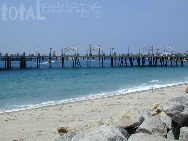
Redondo Pier

Redondo Beach Lobster Festival

30 years running, this Redondo Beach event is a hot hit, especially for beach-goers near Los Angeles, California

3 day event held at the Seaside Lagoon next to King Harbor, just north of the Redondo Beach Pier. Live music, entertainment, lobster recipes, celebrity chefs, craft beer, kids activities and vendor booths.

Annual event; October
310-376-6911

REDONDO BEACH California

redondolobsterfestival.com


Cracking lobster

LA Greek Festival

St. Sophia's Greek Festival

Los Angeles Greek Festival

Saint Sophia Cathedral
@ Pico & Normandie

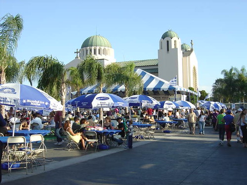
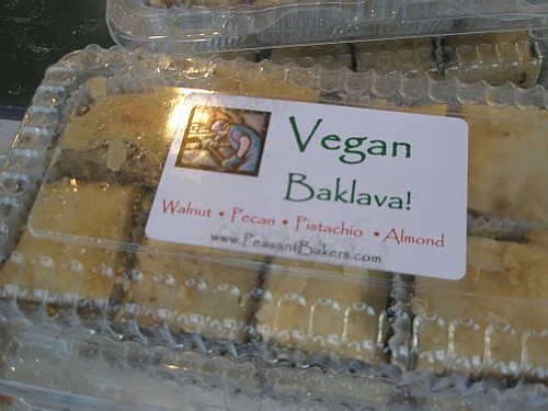
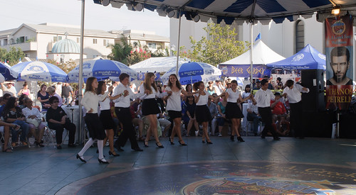
The largest, most celebrated, and iconic representation of Greek food and culture in Los Angeles. Voted as the must-attend event of September by Los Angeles Magazine, the LA Greek Fest is your passport to Greece right here in your own backyard. LA Greek Fest attracts thousands of guests for each day of festivities for an unforgettable celebration of food, wine, dance, games and performances and one-of-a-kind cultural experience. Authentic Greek Food and Pastries. Greek Wines and Beers. Live Greek Music and Folk Dancing. Arts and Crafts. Raffle.

Annual event: September
323-737-2424

Los Angeles, CA

lagreekfest.com


2008 LA Greek Fest

Los Angeles Greek Festival

Sawdust Winter Fantasy

IMG_2257

Sawdust Winter Fantasy Art Festival
in Laguna Canyon

The Orange County beach haven known as Laguna Beach has long been known for their surf shops, gift shops and great art galleries.

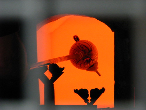
starsLaguna Canyon Saw Dust festival grounds will be transformed into a winter wonderland where artists create, display and sell original creations over the course of five weekends. The Winter Fantasy is offers the most unique holiday shopping in all of Southern California. Art media includes jewelry, clothing, fused and blown glass, ceramics, woodwork, forged metals, painting, photography, sculpture, clothing and textiles.

Experience unique artwork from hundreds of artists, live holiday entertainment, outdoor cafes, art classes and demonstrations, petting zoo, plus Santa! With amazing art gifts, thousands of holiday decorations and picture-perfect moments.

Annual event; multiple weekends; December

Sawdust Art Festival
935 Laguna Canyon Road
Laguna Beach, CA
949-494-3030

sawdustartfestival.org/festivals/winter-fantasy

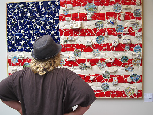
Art Appreciation

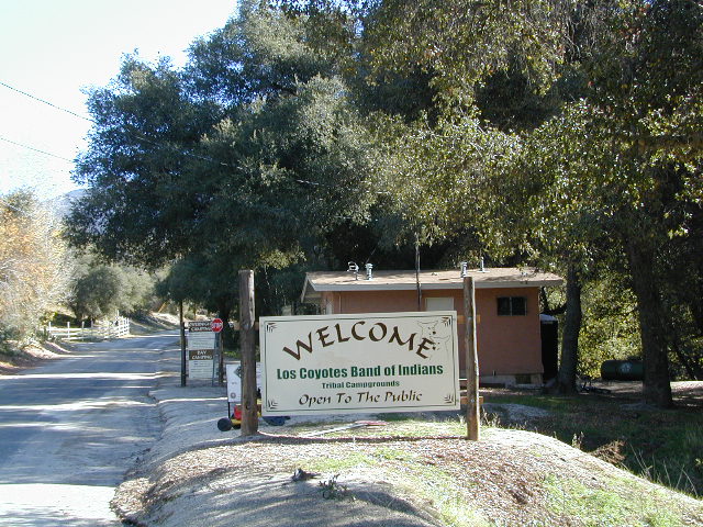
Los Coyotes

los coyotes SD

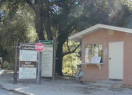
Los Coyotes Camping
Los Coyotes Reservation Campground

North County San Diego
Camping SD

Way out there, on your way to the Borrego desert, past Warner Springs somewhere is this little gem of a location. Near the southern slopes of Palomar Mountain, on the edge of Cleveland National Forest.

Los Coyotes Band of Indians Tribal Campground

open to the public

Great rural location, in-route to many destinations in Southern Cal. Temecula wine country, Warner Springs, Culp Valley, Anza Borrego Desert State Park, Borrego Springs.

Campground is a popular spot with locals, so note that some weekends can get rowdy. Ask about a more secluded camp site option if needed. There is plenty of primitive land out here.

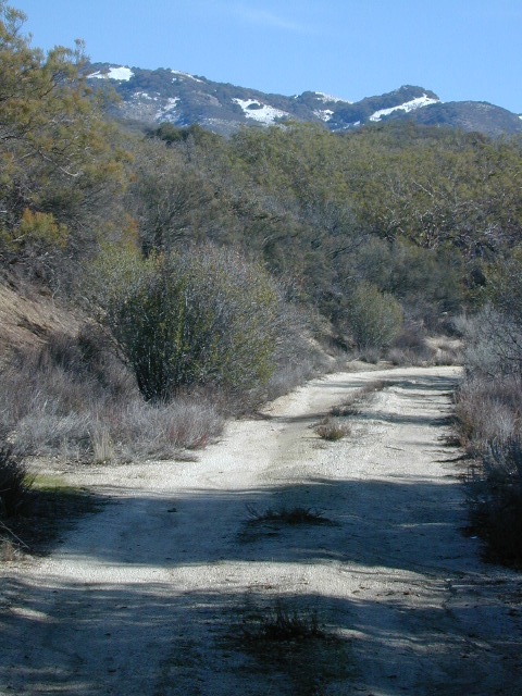
Oak trees and boulder hills, dirt roads, near Hot Springs Mountain. North San Diego County.

Los Coyotes Band of Cahuilla & Cupeño Indians

Warner Springs, CA 92086
RECREATIONAL# 760-782-0712
ADMIN# 760-782-0711

payherebooth

snowx
Hot Springs Mountain SD

San Jacinto Camping

jacinto campground

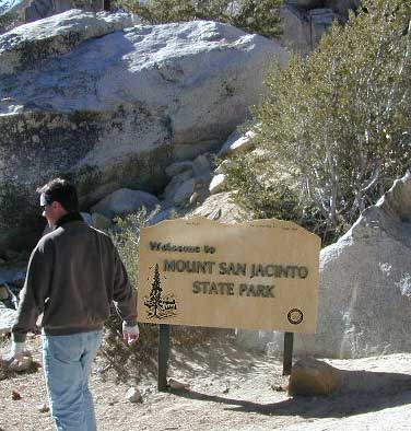
Mt San Jacinto State Park & Idyllwild Campgrounds

San Jacinto State Park Headquarters
25905 Highway 243
Idyllwild, CA 92549

Rangers & Wilderness Permits
951-659-2607

Mount San Jacinto State Park is surrounded by Wilderness area, the village of Idyllwild & the Palm Springs Tram station. Tahquitz Peak close to Idyllwild, is a rock climbing favorite.

Stone Creek Campground is located in the forest, along Highway 243. Elevation 5900′ w/ 50 camp sites & max RV = 24′

Idyllwild Campground is walking distance from town. North end of Idyllwild, CA. 33 camp sites & max RV = 24′

San Jacinto State Park
takes campground reservations!

For more Idylwild Camping options see –

San Bernardino Campgrounds & Yellow Post Sites

Topo trail maps, wilderness hiking maps –

nearby towns:

Off-Road Expo

L.A. off road expo
L.A. off road expo

Off-Road Expo, Pomona

L.A. Off Road Expo

This one is a huge deal in the Los Angeles area. 4×4 extremes – in every direction. Tons of offroad industry vendors, displays, demos, and custom rigs and hot chicks in skimpy shirts for your viewing pleasure. Drool over every suspension, roll cage and locker. Lucas Oils is the big sponsor and this event is held annually, Family Events off road expo, summertime, air conditioning, in gorgeous Pomona.

Annual event: October

Pomona, near Los Angeles, California

offroadexpo.com

Yellow Post Campsites

yellowpost


Yellow Post Camping

Yellow Stake Camp Sites / Back Roads Camping NFS
near Cajon Pass, Big Bear & Idyllwild CA

YELLOW POST CAMPS are dispersed camping sites on the back roads in Southern California, where fire danger is greatest. Forest authorities have designated certain spots as ‘fire safe’ for remote, open camping options around Big Bear Lake, Fawnskin and the Idyllwild mountain area.

If you prefer to stay out of the developed campgrounds, you will be the minority. But you must know how to read a map well to reach these beauties.

Map Big Bear

camping

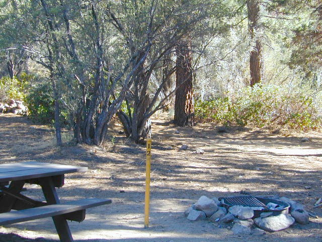
SoCal camping doesn’t have to mean crowded campgrounds. Seek your seclusion on the dirt back roads, where there are no fees, minimal noises & a private site waiting just for you. These are usually on a first come, first serve basis. A high clearance vehicle (SUV, truck or 4×4) may be needed to reach some of the premium camp spots, but there are also sites accessible by passenger cars. And, of course, a fire permit is required.
HeartBar14

In the San Bernardino National Forest there are several back woods ‘fire safe’ camping spots, that are noted with a single yellow post & some may require reservations in busy summer months. You can find out more on reserving from the Big Bear Discovery Center, 909-382-2790

campfires bannedExtra caution should be used when winds are high, camp fires are often banned due to wildfire danger. Check with local rangers for up to date conditions and always get your campfire permit.

No restrooms, no water, no facilities. Just a dirt road, a fire ring & a single picnic table. Hopefully your table will not be shot up, by the local rednecks who ‘get off’ doing stupid stuff like this. Pick up any litter & leave the place better than your found it.

Yellow Post Camps

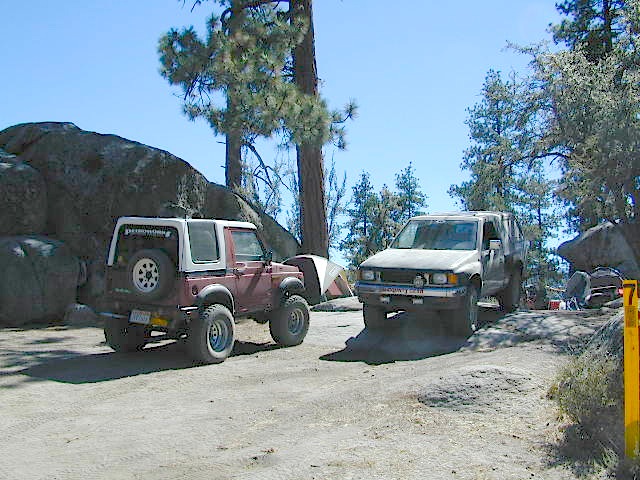
These backroad camps are perfect for the 4×4 group, stressed out social club, church group w/ rugged van, or the city SUVer who wants to get away from the crowds. The most sought after camp spots are nearest to the lake or a site accessible by RVs and horse trailers, but there are many more excellent camp sites to be discovered. USDA Forest Service Map is highly advised to reach these remote, dirt road camp areas. Rugged, steep, one lane dirt roads that lead to some of these spots. A passenger car is sometimes not suitable for all dirt roads. Rutted and steep means turn around. Wet weather changes dirt roads. Often routes close for winter w/ locked gates.

Big Bear Back Roads Camping

download PDF maps
on Big Bear Yellow Post Sites

Campsite7

Big Lots

Cajon Pass Camping near I-15

Idyllwild Dispersed Camping

thomas camp
Topo maps, Wilderness hiking maps, Equestrian trails, OHV maps –

San Diego Camping

Anza Backroads

Cleveland National Forest Camping – San Diego Campgrounds – Desert Camping Anza Borrego – SD County Campgrounds – BLM Campgrounds – San Diego Beach Camping – San Diego Mountains

campground elev spots veg toilet water notes
Bobcat Meadow 3800′ 16 oaks vault no no RVs
Burnt Rancheria 5000′ 100+ pines vault piped Sunrise Hwy
Cibbets Flats 4200′ 23 oaks vault piped Interstate 8
Corral Canyon 3500′ 20 oaks vault piped OHV near I-8
Dripping Springs 1800′ 26 oaks vault piped Hwy 79, E Temecula
El Cariso North 2600′ 24 oaks vault piped small RV
Fry Creek Campground 4900′ 20 oaks vault piped Palomar Mountain
Indian Flats Campground 3600′ 17 oaks vault piped off Hwy 79
Laguna Mountain 5500′ 75 pines vault piped Sunrise Hwy
Palomar SP Campground 7000′ 13 pines vault piped Palomar Mountain

Anza Camping

Anza Borrego Desert Camping & Campgrounds

Desert Mountain Biking Open Camping Stargazing Hiking

San Diego County Campgrounds

Sweetwater Reservoir, Otay Lakes, Agua Caliente, Vallecito
Camping Reservations 877-565-3600 or 858-565-3600

Camping

Bureau of Land Management

San Diego BLM Camping

Lark Canyon, Cottonwood @ McCain Valley near Interstate 8
El Centro Desert OHV, Hot Springs, Colorado River

Coastal Cliffs San Diego

San Diego Beach Camping

Coastal Towns with Camping near San Diego –

Chula Vista
Coronado
San Diego
Mission Beach & Bay
Del Mar
Cardiff
Carlsbad
Oceanside

Indian Flats Campground

Indian Flats Campground is located on a dirt road off Hwy 79, near Warner Springs CA. Boulder ridges & manzanita surround this oak filled secluded canyon. Small seasonal creek & waterfall is a short walk from campsite.

Los Coyotes Campground is a tribal camp, located on Hot Spring Mountain in North San Diego County. High desert chaparral, oak groves and boulders.
Free Camping
Anza Borrego Desert by far has the best free camping options available near San Diego.

Maps Mountains / Desert Topo / San Diego Area Maps

2N93 – San Berdu NF

Big Bear Dirt Roads

2N93 – Wildhorse Meadows

Heart Bar to Big Bear Lake, via the dirt road
San Bernardino National Forest

Big Bear Back Roads
Highway 38, East of Heart Bar @ Road #1N02
Southern California

alt big bear

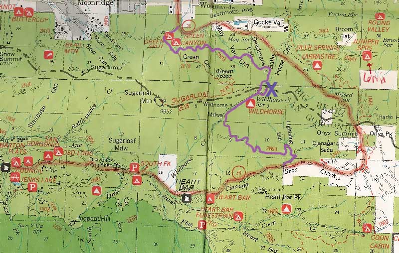
This 8 mile long forested, dirt road begins right off Hwy 38, just east of Heart Bar Campground and is an easy turn to miss. One tiny, brown sign is all that is found (on the guard rail). Driving too fast, you are bound to miss it.
The unimproved route heads north through the National Forest, up and over and around SugarLoaf Mountain (elev 9952′), then down to the Big Bear Lake region.

Several primitive sites – yellow post camp sites – can be found way back in here, but you might NOT be able to have a campfire (depending on fire restrictions). Check w/ local rangers before you head out.

snow Forest roads are often closed (gated) during the winter, when snow and rain make a muddy mess of the terrain. Rock slides are also common in wetter months. Call the local rangers to inquire on road conditions or if this route is open.

Road 2N93

The whole Big Bear Mountain area is a SoCal favorite forest destination, for weekenders and travelers alike. Mountain biking, hiking, backpacking, horseback riding, camping and 4-wheeling.

Plus the recreational lake is full of more water recreation w/ tourist shops and restaurants. Stay away from the crowds and take the back roads for adventure and recreation. Spend less money, stay outta town and camp for free.

camp

On the south side –

Big Bear Highway 38
Heart Bar Campground
Heart Bar Equestrian Camp
San Gorgonio Wilderness

On the north side –

Green Spot Equestrian Campground
Green Canyon Group Campground

SugarLoaf Mountain has a National Recreation Trail, overlooking much of the Moonridge golf & ski area.

San Bernardino National Forest

ranger

Big Bear Rangers:

San Gorgonio District
Mentone CA
909-382-2881

Barton Flats District
Barton Flats CA
909-794-4861

Big Bear Discovery Center
909-382-2790

Big Bear Maps
San Bernardino National Forest Map

nearby towns:
Angeles Oaks
Big Bear City
Big Bear Lake
Forest Falls
Mentone, CA

Big Bear OffRoad Areas

Views to Big Bear Lake

Dick Smith Wilderness

Santa Barbara Mountains
Ojai Backpacking, Ventura, CA

old cabin cuyama
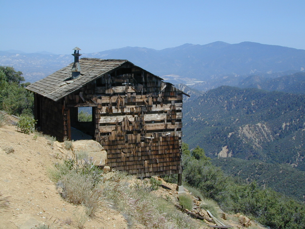
Old Cabin at Cuyama Peak Fire Lookout, Dick Smith Wilderness Area in the background

64,800 acres

30 miles N of Ojai, CA
Los Padres National Forest

Dick Smith Wildernessreyes lift off

  • backpacking
  • camping
  • hang gliding
  • hiking
  • horseback riding
  • parasailing
  • OHV trails nearby

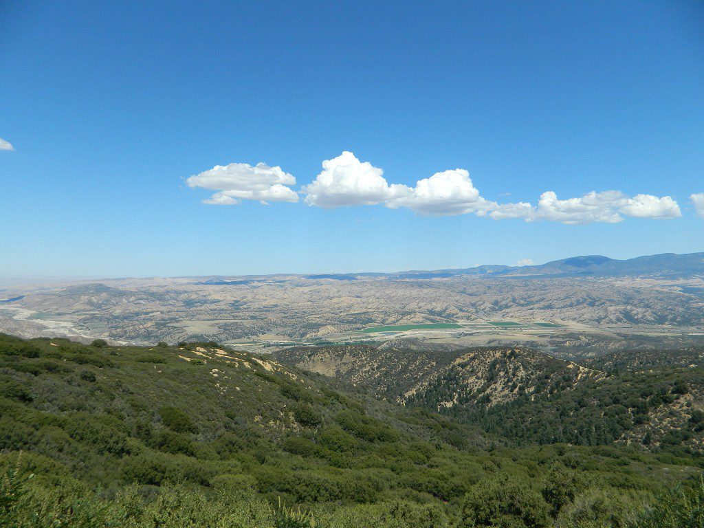
Los Padres National Forest – Located in between the Santa Barbara coastline and the Cuyama Valley, this coastal wilderness area is situated miles north of Ojai, off Highway 33.

The Dick Smith Wilderness is where the San Rafael Mountains and the Sierra Madre Mountains merge on the east side, next to Pine Mountain Summit (elevation 5080′ @ highway).

This PINE MTN turn off should not to be confused w/ the Pine Mountain Club, on the north side of Cerro Noroeste.

Significant mountain peaks within Dick Smith Wilderness Area:

Big Pine Mountain – 6828′ elevation
Cuyama Peak – 5875′
Lizard Head – 5350′
Madulce Peak – 6536′
Samon Peak – 6527′

Closer to Ojai, Matilija Wilderness is on the southern boundary of DickSmith and the San Rafael Wilderness sits to the west side. Native American petroglyphs can be found in this mountainous region.  Access to “Painted Rock” on the Sierra Madre ridge, via Road #32S13 (which has a locked gate on both ends), is a long one so you might want to bring the mountain bike. The dirt road hike is about 10 miles (one way) and it starts at the Santa Barbara Canyon trailhead. If you plan to visit the rock art from the west side – take the dirt road up past Bates Canyon Campground. The turn off on Hwy 166 is called Cottonwood Canyon. Park at the hog pen trailhead and follow Road #32S13 for miles.

Dick Smith Trails
hiking trailheads –

  • Chorro Grande (Hwy 33)
  • Potrero Seco (Hwy 33)
  • Santa Barbara Canyon (Hwy 166)

 area campgrounds –

 nearby towns –

more Ojai camping

ojai backpacking

Dick SMith Wilderness

Ozena Valley Badlands

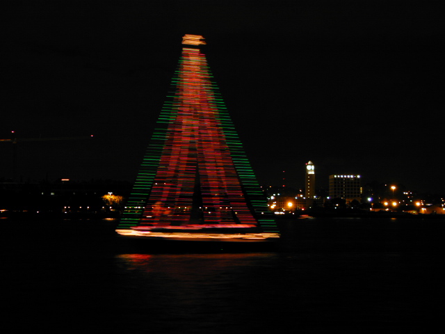
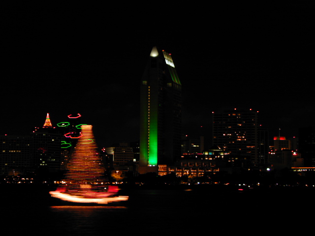
Boat Parade of Lights

tree boat parade

Parade of Lights
Holiday Boat Parade

Christmas Boat Parades in California


SOUTHERN CALIFORNIA:

San Diego Parade of Lights
San Diego Bay
San Diego, CA
619-224-2240
www.sdparadeoflights.org

OceansideParade of Lights
Oceanside CA
Oceanside Yacht Club
www.oceansideyc.net

Dana Point Harbor Boat Parade of Lights
Dana Point, CA
949-923-2255
www.danapointharbor.com

Cruise of Lights Boat Parade
Huntington Beach, CA
www.cruiseoflights.org

Christmas Boat Parade & Fireworks
Newport Beach, CA
100 years running!
www.christmasboatparade.com

sailing xmas tree

Naples Christmas Boat Parade
Belmont Shores @ Naples Canals
South Long Beach, CA
www.naplesca.com

Long Beach Parade of 1000 Lights
Downtown Shoreline Marina
Shoreline Yacht Club
Long Beach, CA
www.shorelineyachtclub.com/event

LA Harbor Holiday Afloat Parade
Long Beach Area
San Pedro, CA
310-549-8111
www.portoflosangeles.org/community/calendar

Redondo Beach Christmas Boat Parade
Redondo Beach King Harbor @ Los Angeles
Redondo Beach, CA
King Harbor Yacht Club
310-376-2459
www.khyc.org

Marina Del Rey Holiday Boat Parade
West Los Angeles California
Marina del Rey, CA
www.mdrboatparade.org

Venice Canals Holiday Boat Parade
West Los Angeles
Venice Beach, CA
310-809-8100
www.venicechristmasboatparade.com

Oxnard Parade of Lights
Marine Emporium Landing
Oxnard, CA
805-985-5828
www.marineemporiumlanding.com

Ventura Parade of Lights Boat Parade & Fireworks
Ventura Harbor Village
Ventura, CA
805-477-0470
www.venturaharborvillage.com

Santa Barbara Parade of Lights
Santa Barbara, CA
805-963-0611
www.santabarbaraca.gov


pine


CENTRAL COAST CALIFORNIA:

Morro Bay Christmas Boat Parade
Morro Bay Embarcadero
Morro Bay, CA
805-772-4467


botaparade


SAN FRANCISCO BAY AREA:

Bethel Island Lighted Boat Parade
San Joaquin Boat Parade @ the California Delta
Bethel Island, CA
San Joaquin Yacht Club
925-684-9985
www.sjyc.org

Fisherman’s Wharf Lights & Sights Boat Parade
Pier 39, Aquatic Park
San Francisco, CA
415-673-3530
www.visitfishermanswharf.com

Oakland Lighted Yacht Parade
Alemeda Estuary
Oakland, CA
925-413-3845
www.lightedyachtparade.com

Petaluma Holiday Lighted Boat Parade
Petaluma River Turning Basin
Petaluma, CA
707-769-0429
www.visitpetaluma.com

Santa Cruz Harbor Boat Parade
Santa Cruz Harbor
Santa Cruz, CA
Santa Cruz Yacht Club
831-425-0690
www.scyc.org

Sausalito Lighted Yacht Parade
Sausalito Yacht Club
Sausalito, CA
415.332-7400
www.sausalitoyachtclub.org

Delta Reflections Lighted Boat Parade
McCloud Lake @ Downtown Waterfront
Stockton, CA
Marine West Yacht Club
209-477-7653
www.mwyc.org