Category Archives: Wilderness

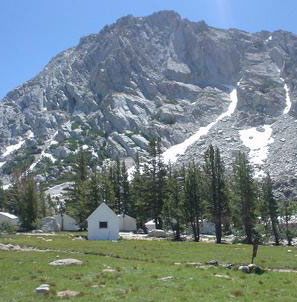
Big Meadows California

Highlands Ranch
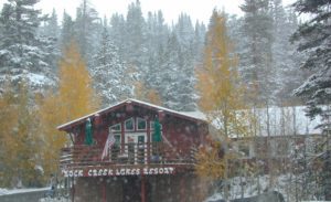
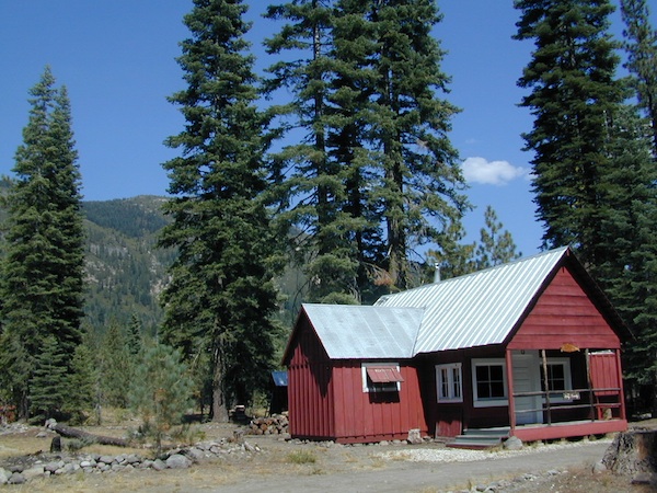
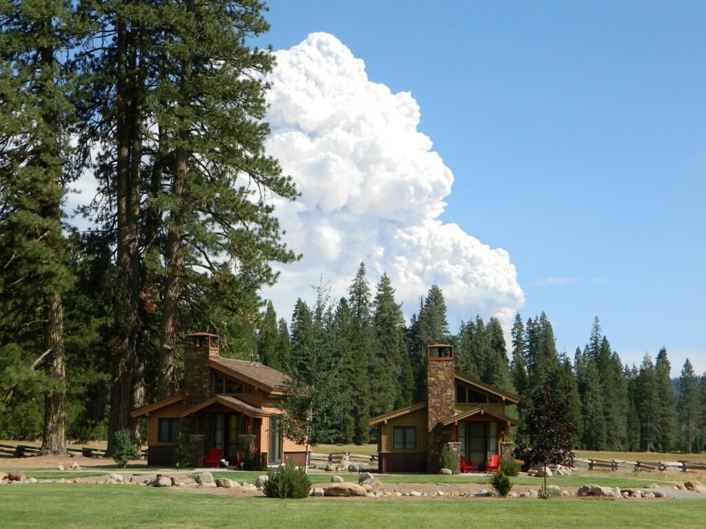
Highlands Ranch Resort cottages on Child Meadow
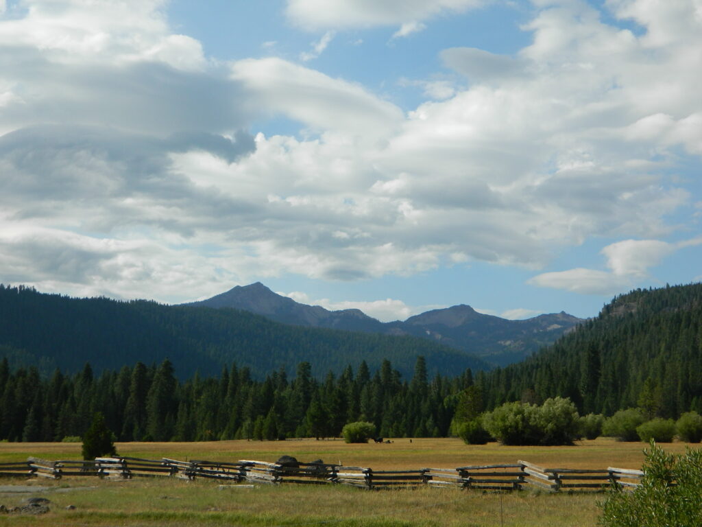
Childs Meadows Lassen
Childs Meadows @ Lassen

Big Meadows, California

In the mountains numerous places called ‘big meadows’ exist in California. Large meadows, huge meadows, high elevations and low. We are truly blessed by such a natural beauty in our local region. Remember those who have protected the land for future generations.

  • camping near
  • picnic
  • cattle grazing
  • hike thru
  • bike around
  • horseback riding
  • cross country ski
  • snowmobiling
  • stargazing
  • wildflowers
meadowroad
Inyo National Forest – highcountry backroads

For Southern California meadows – Mount Pinos has a large meadow next to the walk-in campground, Chula Vista. San Diego’s Laguna Mountain has some meadows and Big Bear Lake offers sage meadows, on the Fawnskin side.

Wild Meadows range from 3000′ elevation in the foothills, to about 11,000′ elevation in the highcountry. Vacant of trees, these wide open areas are generally colder spots, with moisture and with fragile ecosystems.

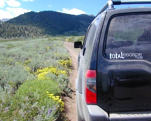
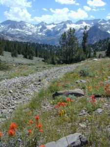
Eastern Sierra’s Inyo has gorgeous meadows of lupine wildflower (see above). Cattle grazing and 4×4 roads all over, up to 12,000′. High country mountain peaks surround. That area is called Coyote Flat w/ Coyote Lake. 4WD needed! Winter, snowy and almost inaccessible.

SNOW – Since meadows are generally located in the mountain regions, deep winter snow can make these special places impossible to reach (for about half the year). Summer is the prime time to explore the higher elevations, so plan accordingly.wildflower

WILDFLOWERS – Remember that the higher the elevation, the later the wildflowers will bloom. High Sierra meadows often bloom well into July & August.

AUTUMN COLORS – Aspen groves are often located next to meadows. Fall colors can be quite decent around October, before the first snow fall of the season.
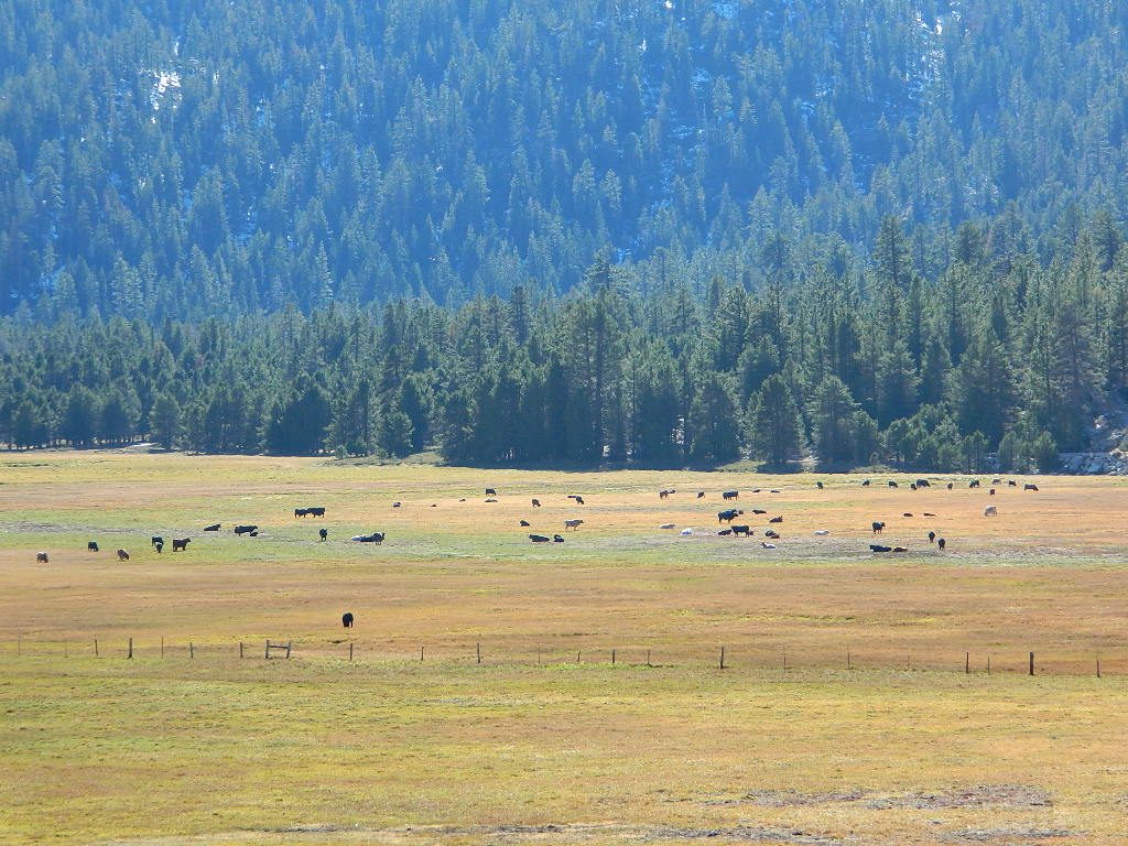
Big Meadow Kern
Big Meadow, Kern Plateau in Sequoia NF

MENDO glade – In the Mendocino National Forest the meadows are called “glades” – and the area has been heavily impacted by wildfire. Snow Mountains Wilderness was totally burnt in the Ranch Fire 2018, the largest wildfire in California history.

NORCAL history – Some Mountain Maidu tribes are known as the “Big Meadow Indians” – they made the Big Meadows of the Upper Feather River their home. Damming the Feather River created Lake Almanor in 1914, which flooded the meadows and forced native people to relocate.
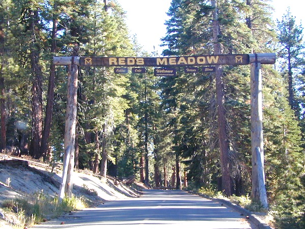
reds meadow
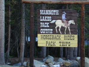
Horse pack station Red’s Meadow, behind Mammoth Mtn. Eastern Sierra

The Big Meadows below are listed from south to north.
Enjoy!

Big Meadow Sequoia, Kern Plateau, off Sherman’s Pass Rd

Big Meadows Road #14S11, Giant Sequoia NM
(in between Kings Canyon NP & Sequoia NP)

Big Meadow Campground, Sequoia, Road #14S11

Big Meadows Campground, Stanislaus NF, near Arnold, CA

Big Meadows Campground, El Dorado National Forest

Big Meadow Campground, Rock Creek Canyon, Eastern Sierra

Big Meadow Campground, Hell Hole Reservoir
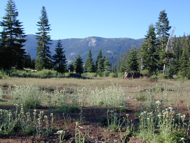
Cherry Mdws

Other awesome meadow areas include –

Monache Meadows, near Kennedy Meadows @ PCT
Horse Meadow Campground NFS, Kern Plateau
Dome Land Wilderness – Manter Meadows
Shirley Meadows Road #25S15
Powell Meadow Rd#21S36, Sequoia National Forest
Jerky Meadows – Lloyds Meadow Road #22S82
(primitive camping & trailhead Golden Trout Wilderness)
Jackass Meadow, Sierra National Forest
Horseshoe Meadows Road, Lone Pine, CA
Dinkey Creek Road, Sierra National Forest
Lake Henshaw, N San Diego County
Laguna Meadows, Cleveland NF, San Diego Mountains
Indian Valley – Greenville & Taylorsville, North Sierra
Grover Hot Springs, Sierra Nevada
Dixie Glade Campground, Mendocino NF
Kingsley Glade Campground, Mendocino NF
Sugarfoot Glade Campground, Mendocino NF
Beasore Meadow, way up behind Bass Lake, CA
Dunderburg Meadow, off Green Creek Road
Butte Meadows – N of Chico, CA
Blue Lakes Road – Sierra Nevada, South of Tahoe
Kaiser Pass Meadows, above Huntington Lake, CA
Jones Valley/Jones Meadow – SR 172 in Lassen NF
Spencer Meadows (hike) – trailhead @ Hwy 36 @ Lassen
Battle Creek Meadows @ Mineral, CA & Lassen NF

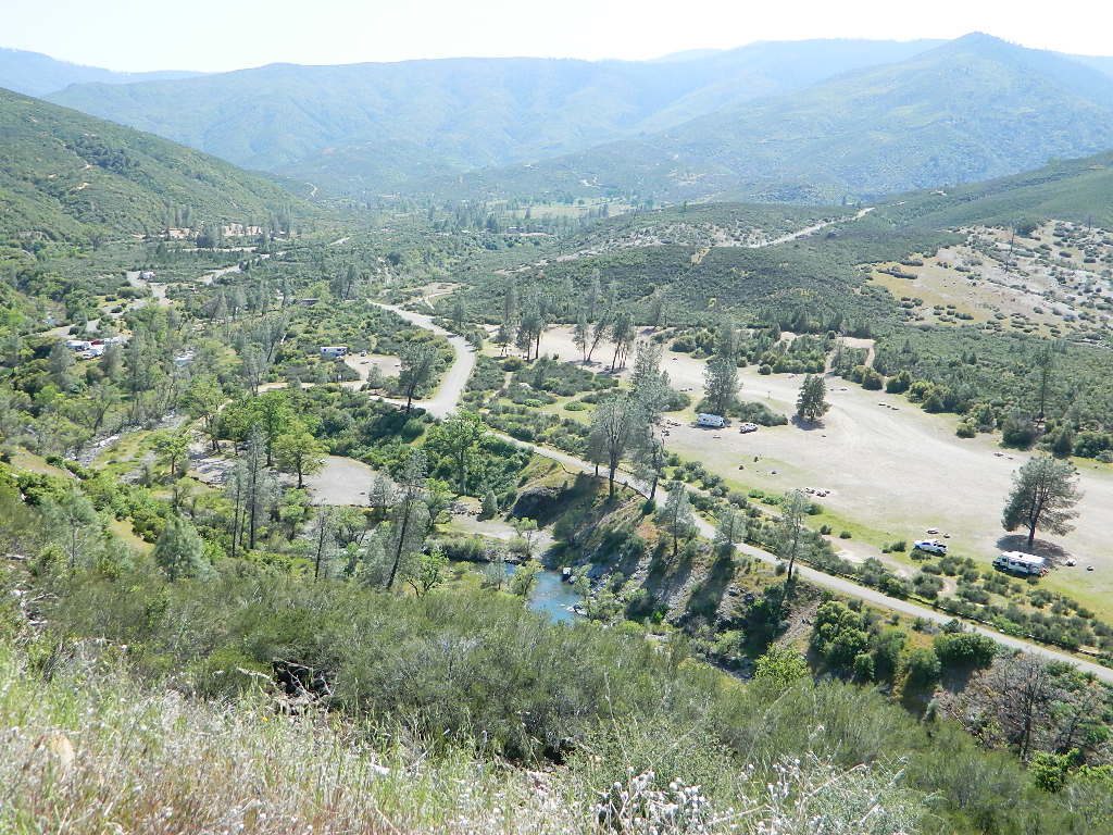
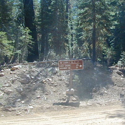
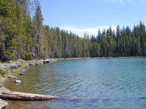
Childs Meadows – along Hwy 36 @ Lassen NF
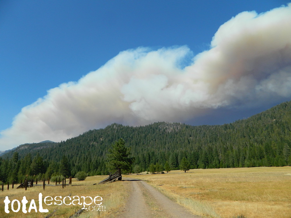
Dixie Fire @ Childs Meadow AUG 2021

MOUNTAIN MEADOWS are the perfect place to watch meteor showers! Bring your tarps, blankets, pillows and lounge chairs, plus plenty of snacks & drinks for the overnight adventure.
LagunaMdws
Laguna Mdws, Cleveland NF
inyohighroad
click to expand

Rock Creek California

rockycreek

Rock Creek, CA
California Rock Creeks

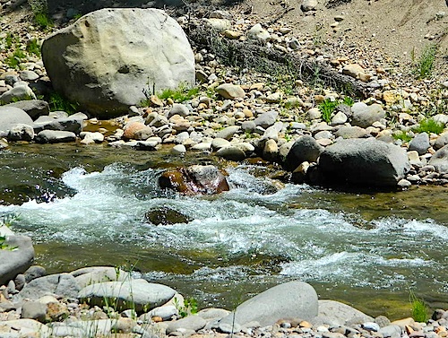
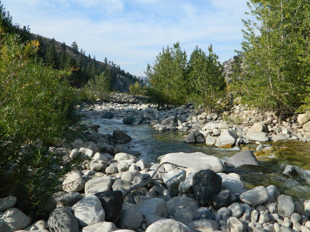
Due the nature of gravity, erosion and heavy rocks, creek beds tend to be rocky ravines near mountains – which collect rocks as they slide downhill. Creeks work as water drainage off the mountains. Inside California we have plenty of mountain ranges and plenty of movement, as the Pacific plate plows into North America, tectonically speaking.

How many Rock Creeks are inside the golden state of California? Heck, I dunno. Let’s try to find them all.

winterlodge

Probably the best known, is the one near Mammoth Lakes, CA

Eastern Sierra

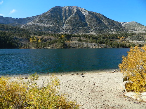
Small Beach at Rock Creek Lake

Rock Creek @ Mammoth

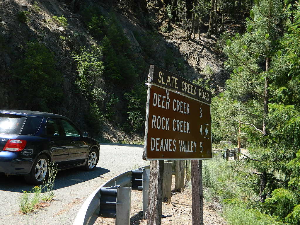
Rock Creek Road, Eastern Sierra
Inyo National Forest
Road #4S12
ROCK CREEK LAKE
NFS CAMPGROUND (9600′ elev w/ 66 sites)
GROUP CAMPGROUND (reservations required)
RESORTS
CABIN RENTALS
Road #6S05
WILDERNESS TRAILHEADS – Mosquito Flat, Little Lakes Valley Trailhead, Mono Pass, Morgan Pass, John Muir Trail (JMT), Pacific Crest Trail (PCT)

US395

US 395 @ Rock Creek exit is Toms Place, CA

rockcreeklakeresort

fallflames
Eastern Sierra Rock Creek Rd
ruggedwalls
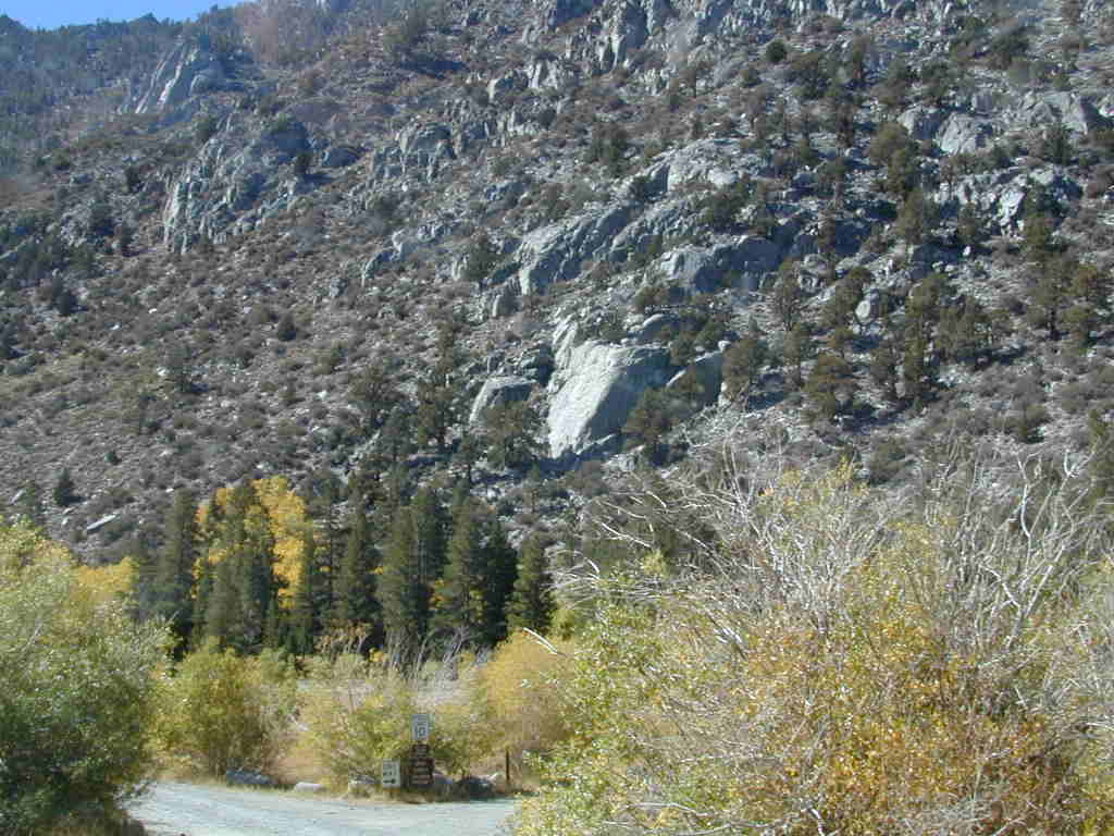
Rock Creek Canyon, Eastern Sierra

driftwood

Northern Sierra

camp

Plumas National Forest – west of QUINCY, CA

Dirt road campground

NFS Rock Creek Campground @ Plumas, located on a dirt road #24N28, off of paved Bucks Lake Road

NFSlogo

DIRT ROADS
MEADOW
CREEK

nearby WILDFIRE BURN SCAR

hiker

Feather River Canyon

Rock Creek, Highway 70
North fork Feather River

Large feeder creek from the north side of highway (California SR 70), in Plumas National Forest. Located in the popular railroad canyon known as the Feather River Canyon. Right here Rock Creek even has a reservoir.

Sugar Loaf Mountain elev 3553′ with Tobin Ridge line each side of Rock Creek as it descends the mountain tops. The junction where the creek meets the big river is just south of Bucks Creek Power Station @ STORRIE, CA. The overall location is half way in between OROVILLE, CA and QUINCY, CA

driftwood

Western Sierra

Off Road Gold Country, Sierra foothills

Rock Creek, Western Sierra4x4
Eldorado National Forest
HIKING & HORSEBACK
OHV TRAILS
4×4 CAMPS
Georgetown, CA
RUBICON TRAIL @ LOON LAKE

RockCreekOHV


driftwood

Southern Sierra

How can we forget creek camping & trail access south of Shaver?

bald mtn
Jeepers on granite @ Bald Mountain, above Shaver Lake, CA

Shaver Lake, Sierra National Forest

Rock Creek Road, Southern Sierra
Dinkey Creek Area
Sierra National Forest
PRIMITIVE, DISPERSED CAMPING
4×4 TRAILS
BALD MOUNTAIN elev 7832′
DINKEY DOME elev 7697′
DUSY IRSHIM TRAIL
Shaver Lake, CA

driftwood

But wait, we have more California Campgrounds named Rock Creek

camp

Mammoth Reservoir
Mammoth Pool Reservoir

Rock Creek Campground – Mammoth Pool Reservoir, south of Yosemite National Park, behind Bass Lake, CA Sierra National Forest (18 camp sites)

Rock Creek Campground – US Hwy 101 NorCal Redwood forests, north of Leggett, CA. Camp located on the Eel River, in the Standish Hickey State Recreation Area. (36 camp sites)

Also the is a small ROCK LAKE located inside Lakes Basin Recreation Area, northern Gold Country @ Yuba River headwaters. Hike-in access only.

Rock Front OHV

Similarly named ROCK FRONT RANCH is 4×4 trails & 4WD camping area. Cool wind caves, super steep driving terrain (Granny low anyone?) and of course, wildflowers.

Los Padres National Forest 

Off Highway 166, east of the city of Santa Maria & US 101 – on the Central Coast of California. Way back there, at the edge of the forest, behind the wineries!

Rock Front Los Padres
Rock Front Ranch in Los Padres NF

dirtbikes


National Forest Cabins

California Fire Lookouts for Rent
US Forest Service Cabins

red cabin

NFSlogo
Rent a secluded cabin with an amazing view, a historic tower for wildfire spotting, or a USFS guard station – hidden deep inside USDA California National Forests. Several of these NFS lookouts have been closed recently, so the ones listed below have links to status and reservation information.

Dirt road access is common to reach these remote locations. Some require stair climbing, or steep access hikes. Winter months are usually snowy, inaccessible and sometimes dangerous for these high country locations. Access roads suffer from closures due to rock slides or landslides. Check with the locals ranger station for current conditions.

A few of these rentals are open all year long – in the southern part of the golden state.

El Dorado National Forest USFS

Harvey West Cabin
4,720′ elev. on Silverfork American River, Gold Rush

Loon Lake Chalet
6375′ elev. near Georgetown, Gold Country California

Robbs Peak Lookout
Robb’s Hut / Robbs Cabin
6686′ elev near Placerville, Gold Country California

Sly Guard Cabin
Sly Park @ Jenkinson Lake, near Placerville, Gold Country California

Van Vleck Bunkhouse
6549′ elev. near Georgetown, Gold Country California
download PDF info sheet

Lassen National Forest USFS

McCarthy Point Lookout
overlooking Mill Creek Canyon and Ishi Wilderness
ranger & info 530-258-2141

Mendocino National Forest USFS

Pine Mountain Lookout
>>>> Renovated & ReOPENS soon! April 2020
4400′ elev.  over looking Eel River wilderness
ranger & info 707-275-2361

Plumas National Forest USFS

Crocker Guard Station
5700′ elev. near Meadow on back road
Lake Davis Loop, way out behind Portola, California


Big Bear Lake 2002
Big Bear Lake, Southern California

San Bernardino National Forest USFS

Coon Creek Cabin
Actually this one is a reservable group campground – next to a set of historic cabins. Big Bear Area Group Camp Site. Heart Bar Rd #1N02 near Angeles Oaks, CA

Morton Peak Fire Lookout
(no longer available overnight stays 2019)

Coon Cabin
Coon Cabin – Southern Cal

Sequoia National Forest USFS

Big Meadows Cabin
Big Meadows Guard Station
off Big Meadows Rd #14S11
7600′ elevation; located in between Sequoia NP & Kings Canyon NP

Camp 4 ½ Cabin
1100′ elevation; Lower Kings River
near Pine Flat Lake, CA

Grouse Valley Cabins
3 cabins near lakes; Giant Sequoia National Monument, Western Divide
4800′ elev.

Mountain Home Guard Station
Mountain Home State Forest, Sequoia Groves
6000′ elev. near Springville, CA

Needles Fire Lookout
(destroyed in structure fire 2011)

the needles
View of The Needles, from Dome Rock on Western Divide Highway (CLICK TO ENLARGE)

Oak Flat Lookout
Oak Flat Cabin Rental
4900′ elevation; Kern River canyon near Lake Isabella

Poso Guard Station Cabin Rental
open all year round4500′ elev. near Kernville, CA

Quaking Aspen Cabin Rental
Giant Sequoia National Monument, Western Divide Highway near Ponderosa, CA

Wishon Cabin Rental
Tule River, Giant Sequoia National Monument; open all year round. 4000′ elev. near Camp Nelson, CA

Shasta/Trinity National Forests USFS

Forest Glen Guard Station
near Trinity River & Forest Glen, CA

Frog Meadow Guard Station
7760′ elev. near Lake Isabella, CA

Girard Ridge Lookout
Historic Fire Lookout Tower
4809′ elev. near Dunsmuir, CA

Hirz Mountain Lookout Tower
Hirz Mtn. Fire Watch Tower Rental
overlooking Shasta Lake, CA
(currently closed for repairs 2019)

Harris Springs Guard Station
near McCloud, CA

Little Mount Hoffman Lookout
Mt. Hoffman Rental
7000′ elev. near McCloud, CA

Post Creek Guard Station
near Hayfork & Platina, CA


Sierra National Forest USFS

Camp Four and a half Cabin
Camp 4 ½ Cabin Rental
Lower Kings River, open all year round
1100′ elev. near Pine Flat Reservoir


Six Rivers National Forest USFS

Bear Basin Butte Cabin & Fire Lookout
elevation 5300′ in Six Rivers NF / Smith River NRA
(road damage & access issues 2017)

Tahoe National Forest USFS

Calpine Lookout Cabin Rental
near Sierraville, CA

Sardine Peak Fire Lookout
overlooking the Sierra Buttes and serene Lakes Basin, Yuba Rivers, North Gold Country CA

lakes basin views


Sierra Snowmobile Rentals

California Snow Mobiling

It was another one of those long and tiring days in the office and all I wanted to do was find myself on a open highway heading out of town. So right after the time clock struck five, I raced home, picked up my bags which were packed with my clothing and gear the night before, stopped at my girlfriends home to rescue her from the mundane existence of the apartment, we found ourselves finally on our way into snow country of the Sierra-Nevadas.

snowmo

Our destination was a small resort community called Lakeshore CA, situated on the shore of Lake Huntington between the Ansel Adams and John Muir Wildernesses in the Sierra National Forest. The drive up the mountain at dark was breath taking and clear, a night in March with a full moon out and a fresh blanket of snow gracing our presence all around us as we drove our truck through the winding mountain road. The temperature must of been in the teens that night but that didn’t faze us as we looked out of our car windows at the spectacular sight Mother Nature had in store for us. Soft snow pillows hung on tree limbs everywhere, glistening moonlight bounced off the gentle lake as we drove along side and huge snow drifts towered on the road shoulder as we traveled to our resort lodge destination.

califrepublic

lakeshoreAt first we thought it would require more map insight in finding the lodge under such wintery conditions. But to our surprise, the road we had been traveling on, Highway 168, just dead ended at our weekend getaway. The check into the lodge was fast and simple, soon we found ourselves settling into a decent rustic cabin with drifts of snow twelve feet high all around. Thanks to the constant plowing of roads, everything was accessible within reason due to El Ninos erratic behavior.
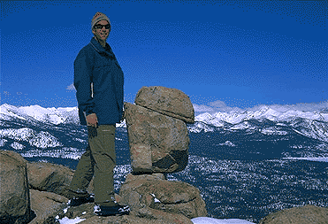
The next day we became captivated by the raw beauty of waking in a wintery wonderland, hardly hours away from the hustle and bustle of the big cities of Los Angeles and San Francisco. After a bit of exploring around the frozen lake, we took off on a rented snowmobile for the back country where we became amazed by gorgeous mountain lookouts.

Untouched wilderness full of snow-capped mountains, lost tranquil valleys, and frozen pools and streams locked in a time zone of raw beauty.

I wanted to stay gazing for hours but our destination was deep in the wilderness valley about twenty miles away. There after passing through woodsy trails and snowy spectaculars we arrived at our place of relaxation, the Mono Hot Springs. This out of the way spot has been frequented over the years by naturalists like ourselves who have pulled off the trail to dip into the eighty degree plus waters that caress the body with mineral rich fluids.

Never have I been so relaxed in an environment with no one around for miles, white snow all around with a trickling stream close by for awe and amazement. If it wasn’t for the deadline for the snowmobile return, we could of stayed at this place til sundown. The ride home on the machine, my body seemed to be thanking my mind for bringing it to such an inspiring place. My mood was calm and invigorated by the mountain waters & scenery.

epic views over snowy sierra
epic views over snowy Sierra

Back at the lodge after freshening up, my girlfriend and I discussed how lucky we were to be able to experience activities like these that really don’t require throngs of urbanites to complicate and mettle up our space. That night we enjoyed and excellent meal inside the lodge dining room which didn’t weight us down. Then over to the saloon we went to indulge in spirits, a small wedding party was happening were participates graced our presence with drunken humor. Even though they looked like the stereo typical yuppies, this didn’t bother us as we knew that they had come to the same spot to be enveloped by the sheer beauty and splendor of Lakeshore, California.
Spring 1998, by Chris DiNenna

snow

check

Large portions of the Sierra Nevada were greatly affected by recent wildland fires. This area was burnt by forest fire 2020 Creek Fire

From Mammoth Pool to Edison Lake, huge, old growth forests ignited in a major wildfire along the upper San Joaquin River, inside Sierra National Forest. Military helicopters rescued stranded campers by the hundreds, as seen on the nightly news.

BEWARE: this land may not look anything like the photos

Trinity Alps Wilderness

NorCal Mountains – Trinity Alps Wilderness

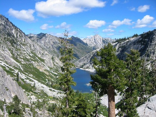
Sapphire Lake -- Suicide Ridge -- Trinity Alps

525,627 acres

North of Weaverville & Lewiston, about 10 miles
West of Trinity Lake & Redding, CA
Headwaters of the Trinity River & the Salmon River

Shasta-Trinity National Forest

Thompson Peak – 9002′ elevation
Trinity Mountain – 6094′
Granite Peak – 8091′

Trinity is NorCal’s jewel of alpine lakes and granite peaks – many above 8000′ elevation, about 40 miles inland from the ocean. Trinity is located in between the infamous redwood coast and the I-5 corridor. Rivers, creeks, lakes, and trails into the high elevations regions, bqckpackers and equestrian campers alike.
trinityalps_lgHiking trailheads are accessed from all sides -On the east side you have Trinity Lake & Trinity River w/ Highway 3 running lengthwise in a north-south direction. Hwy 299 runs east-west along the south side of the wilderness. Klamath River Hwy 96 lies on the west side of the wilderness. Salmon River, Scott Mountains and Cecilville are north of the alps.

Both the small Russian Wilderness & the larger Marble Mountain Wilderness are located to the north of Trinity Alps, along with rural towns near the Scott Mountains and the Salmon River. Castle Crags Wilderness is to the eastern side, near Interstate 5.

towns nearby –

camp

Campgrounds near Trinity Alps Wilderness

hike

Trinity Alps Trailheads

lake

Waterfalls & Lakes near Trinity

NFS


View Larger Map

The mountainous area is quite unique, as exposed granite mountain peaks and alpine lakes are pretty rare in the coastal Cascade ranges. The only other spot in California that has an 8000′ peak nearing the coast is just north of Los Angeles – Los Padres’s Mount Abel & Mount Pinos peaks, both over 8000′ in elevation.

TRINITY ALPS TOPO MAP

camp

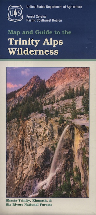
The USDA map for Trinity Alps Wilderness was outta print for nearly 2 years and it has recently been updated and reprinted. New edition released in 2013 and now available at the Total Escape map store. Printed on waterproof map paper and updated in 2012.

Snow Mountain Wilderness

Snow Mtn Wilderness

Mendocino Forest, Lake Pillsbury

North of Wine Country, east of US Hwy 101

2018 (Mendo Complex Wildfire) Ranch Fire
burnt most of this area

Located in the coastal mountain range north of Clear Lake and west of Stonyford, California; in between I-5 and US 101
On the southern half of the Mendocino National Forest.

snow mountains

60,076 acres
East Snow Mountain Peak – 7056′ elevation
West Snow Mountain Peak – 7038′ elevation
Lake Pillsbury – 1818′ elevation
Mendocino National Forest
Eel River
Elk Creek
Cold Creek
Anderson Creek
Corbin Creek
Sheet Iron State Game Refuge

  • backpacking
  • camping
  • hang gliding
  • horseback trails
  • off roading
  • paragliding
  • snowboarding
  • snow shoeing

Snow Mountains MapWilderness permits and campfire permits are required. Check local rangers for up to date weather conditions, road closures, parking and trail conditions.

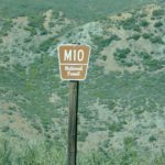
Dirt Roads M10 and M3 are the major routes around this mountain area. Route M10 is also known as 43A on some older maps. Several 4×4 trails skirt the wilderness boundary near the tallest peaks, so you may see some OHV use in this region when hiking.

ranger stations
NFS

EAST SIDE

National Forest Office
Grindstone Ranger District
Willows, CA
530-934-3316

Stonyford Work Center
530-963-3128

WEST SIDE

Upper Lake Ranger
707-275-2361

Covelo Ranger District
707-983-6118

NFS campgrounds nearby
camping

EAST SIDE

    • North Fork Campground (Road# 18N03)
    • South Fork Campground (Road M10)
    • Fouts Campground (M10)

4x4 trails

  • Grey Pine Campground (M10)
  • Mill Creek Campground (M10)
  • Dixie Glade Campground (M10)

WEST SIDE

  • Lower Nye Campground (Road M3)
  • West Crockett Campground (M3)
  • Upper Nye Camp (M3)
  • Windy Point Campground (M3)

hiking trailheads
hiking

  • Bloody Rock (Road M6)
  • Crooked Tree (Road M3)
  • North Ridge (M3)
  • Windy Point (M3)
  • Upper Nye (M3)
  • Bear Wallow (Road# 18N06)
  • Trout Creek (@ Fouts Springs)
  • Dixie Glade (Road M10)
  • Summit Spring (M10)

2017: a large landslide has closed the dirt road route in between Lake Pillsbury & Alder Springs, CA. Road M6 closed indefinitely.

off road routes nearby


View Larger Map

Hill Top Hot Springs

Hilltop Hot Springs

hill top hot springs

High Desert: Hill Top
primitive hot springs

May also be known as Pulky’s Pool in hot springs books.

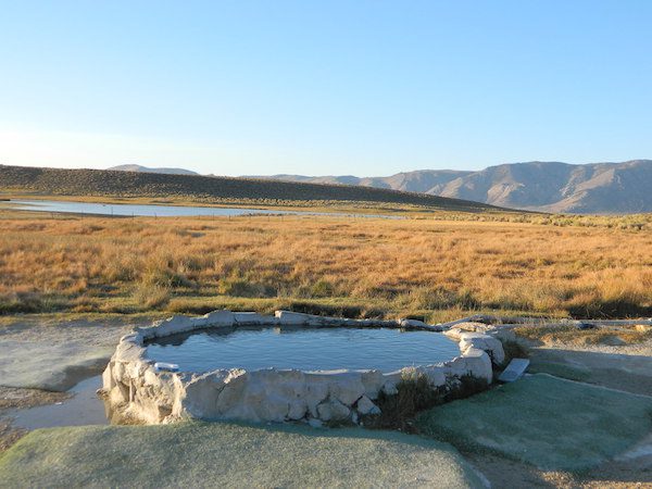
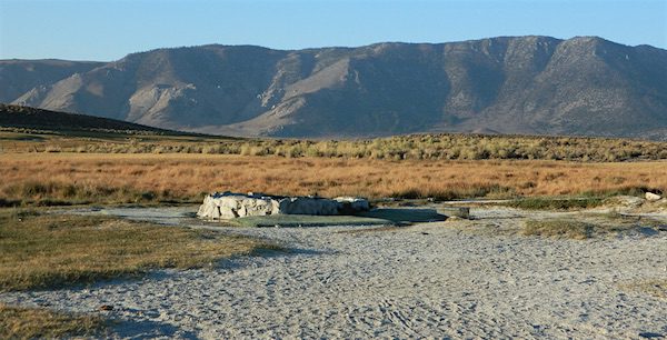
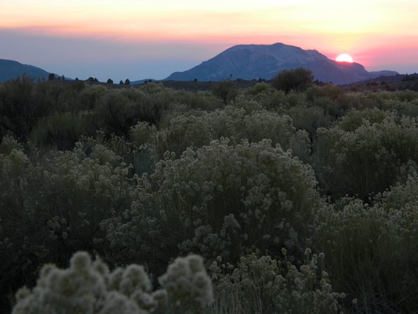
Hilltop is a new found favorite and one of the more scenic spots for a soaking tub in this region. Sitting out in the middle of a clearing, surrounded by marsh lands, this remote hot springs is a hike-in destination. No paved road, nor paved trail. The mountain and sky views from this tub are splendid, and if you time it perfect, you may have the place to yourself.

open all year
elevation:
6,900′

Located in the Long Valley Caldera, this area is managed by Bureau of Land Management

North of Bishop, CA
South of Mammoth Lakes, CA

marsh walk

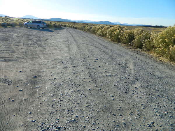
From US Highway 395 @  Benton Crossing Road – drive approximately 3 miles (passing dirt road Whitmore Tubs). Once you’ve crested a small hill, look for a gated dirt road on left, which leads a short ways, back through the sagebrush, to the parking area.

GPS coordinates: 37.6455, -118.8001 

The dirt parking lot is adequate enough to handle a dozen vehicles, and this place is so well known, that it gets a fair amount of traffic at any time of year.

Rumor has it that Hilltop is one of the most visited hot springs near Mammoth Mountain; probably due to the proximity to the paved road. Cars and trucks, camper vans and RVs will be coming and going at all hours of the day and night. So consider yourself warned!

high desert lot

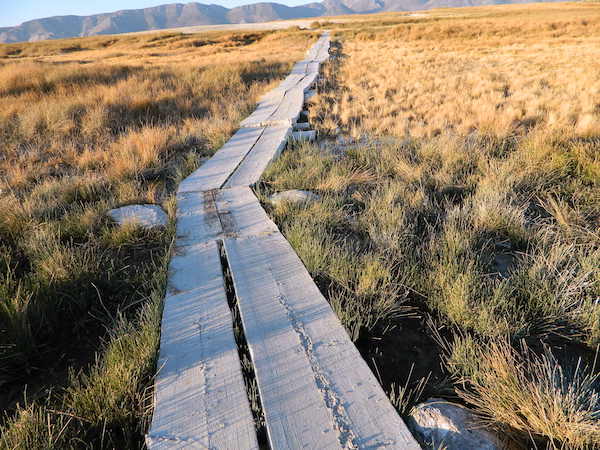
Gate and fence separate the parking from the trail, which leads a quarter mile (often over wooden plank boards) through alkali fields – out to the cement tub.

Only one, small makeshift bench next to the pool – and no tables, no seating, no facilities; Bring tarps, towels, ice chest and camp chairs (if you plan to stay a while).

empty hot pool

Plastic PVC pipes and control valve adjust water flow and temperature. If the valve is left ON (wide open) overnight, the small tub will be too hot to soak in the following morning.

camp

Camping options are pretty limited here. A small clearing for a tent, next to the parking lot; and one decent parking spot, large and private enough to call a camp site (at the dead end, past the parking).

The Eastern Sierra corridor of US Hwy 395 is far enough away that it cannot be heard from this spot.

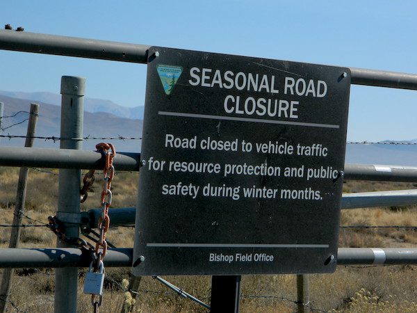
BLM gate at the paved road entrance reads: road is closed seasonally – assuming you can walk in during snowy winter months.

seasonal gate

Hilltop is one of several primitive hot springs in this immediate region. See Mammoth Hot Springs for more choices.

wildfire smoke 2020
Wildfire smoke in 2020 Creek Fire


Fouts Springs

fout springsFouts Springs California

dirtbikes

2018 Mendo Complex Wildfire has affected this area. Expect some closures on trails and roads.

Stonyford Recreation Area
USFS Grindstone Ranger District
Mendocino National Forest

roadtofouts
Paved Road M10, Mendo National Forest

Fouts Campground NFS

Lat – 39° 21′ 35.05307″
Long – 122° 39′ 07.87442″

4x4

OHV

off highway vehicle use is abundant

Fouts Springs is multi-use recreation area on the east side of Mendocino National Forest. Located near the Snow Mountain Wilderness trailhead, this region is popular with the off-roaders and dirt bikers. Expect some noise if camping overnight on a weekend.

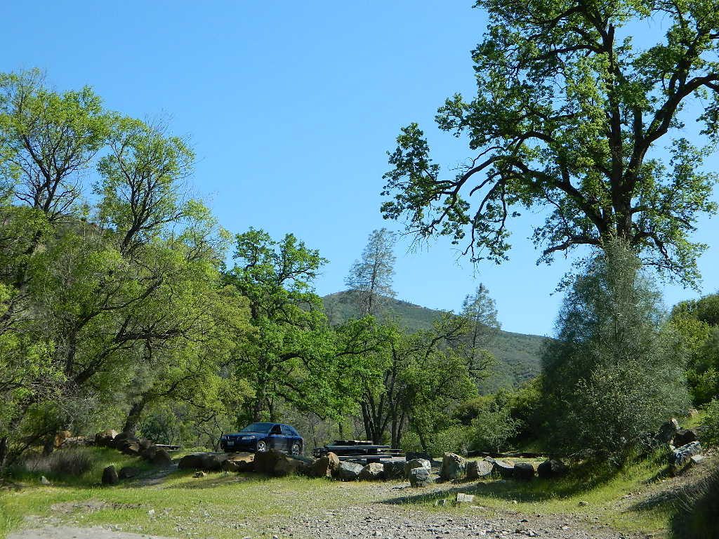
Excellent picnic spots along creek in springtime. Wildflowers bloom March-May. Campfire restrictions may begin as early as July, so know current fire conditions.

fouts water

fouts camp

camp

campground elev spots veg toilet water notes
Davis Flat Campground 1700′ 20 mixed vault no OHV + RV trailers
Fouts Campground 1700′ 11 mixed vault piped OHV trails
Little Stony Campground 1500′ 8 pines vault no OHV trails
Mill Creek Campground 1700′ 5 mixed yes no OHV trails
South Fork Campground 1700′ 4 mixed vault creek Stony Creek

Spring Fouts MendoFouts campgrounds are located on the EAST SIDE of Mendo NF on paved road M10. Situated below 2000′ elevation and open year round.

Road M10 Mendo
Road M10 Mendocino

TRAVELERS NOTE: Tent campers, RV and truck campers can easily access this area, all paved roads. Exit Williams or Willows on I-5 and head west. A decent back country map or Mendocino National Forest Map is advised; Numerous canyons, forested creeks and campgrounds. Always check with Mendocino National Forest for road closures and conditions.

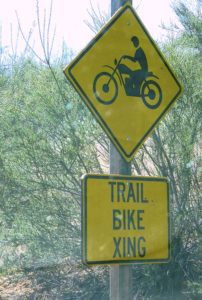
dirt bike crossing

OFF-ROADERS NOTE: Use caution on paved access road M10, especially when driving with trailers or large RVs. Narrow road, long and winding with blind curves and no guard rails. Always check with Mendocino National Forest for road closures and trail conditions.

4x4

Mendocino Ranger Stations can be found on link below

NFSMendocino National Forest

foutspicnic

picnic

wildflower

Hole in the Ground

mill creek days

Hole in the Ground, California

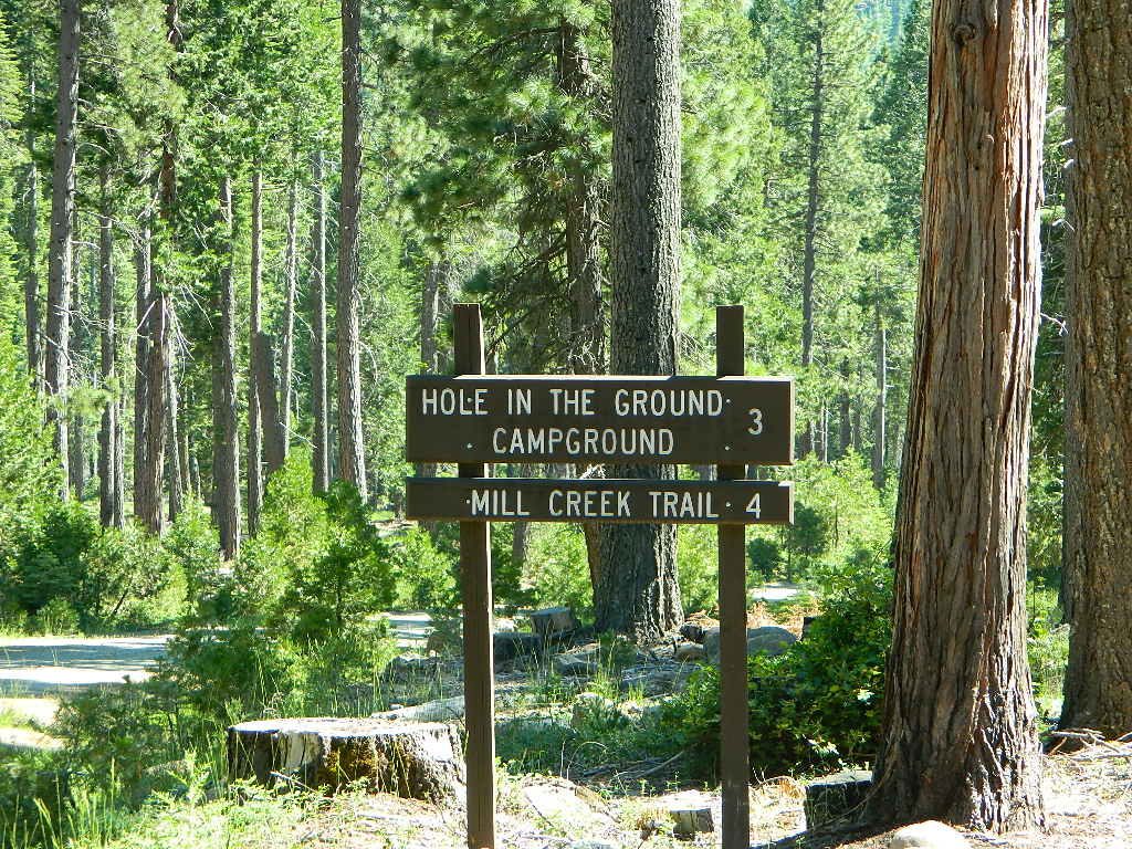
Hole-in-the-Ground Campground NFS NFSlogo
Lassen National Forest
dirt road access #28N06, off Hwy 172 @ Mill Creek, CA
South of Highway 36, near jct Hwy 89hiker

• Elevation: 4,300′
• Number of Sites: 13
• Vehicle Accessibility: No trailers
• Campsite Fee: Yes
• Campsite Reservation: No
• Campsite Water: hand-pump well
• Toilet: vault
• Length of Stay: 14 Days
• Season: April – October
• Trailheads: Mill Creek Trail

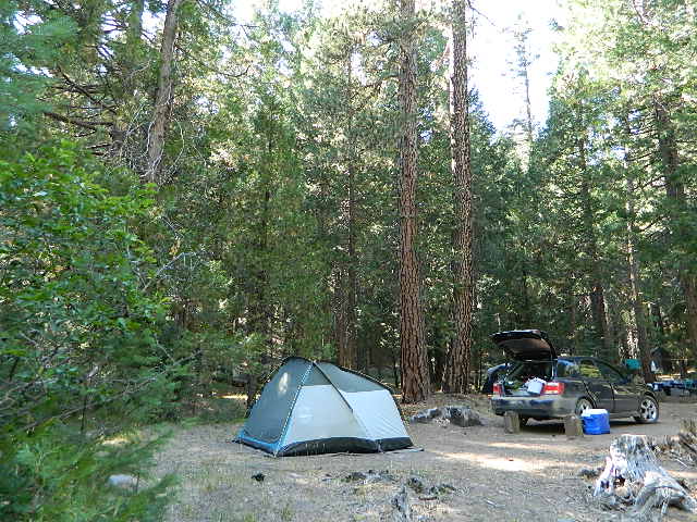
Shady pines campground situated near the wild and raging Mill Creek, on the south side of Mount Lassen. Outside of the Lassen National Park, this NFS camp offers a real backwoods feel and more seclusion. Easy foot access to Mill Creek and also the Ishi Wilderness.

Picnic tables and metal campfire rings provided at these campsites. Summers can be busy, but mid week you may have the whole place to yourself. NOTE: 3 miles dirt road access Lassen Forest Road #28N06. Trailers and large RVs are not recommended on this dirt road.

campsite 8

holeinthegroundsign

campfire fish camp

nearby towns – 

Lassen National Forest NFS

Lassen National Park NPS

NFSNFS web link USDA

yet another?

Hole in the Ground, is also the name of a remote wilderness canyon deep in the Sierra Nevada mountains. Located on the Upper Kern River – in Grasshopper Flat near Hockett Peak (8551′ elev). All inside the Golden Trout Wilderness;  accessible only by horseback or hiking trail. Find it on foot @ Jerky Trailhead on National Forest Road# 22S82

driftwood

holes_in_rock
Hole in the Rock
holeinrockbackside
Backside Hole in the Wall, Mojave NP

Hole in the Wall, California

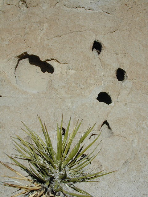
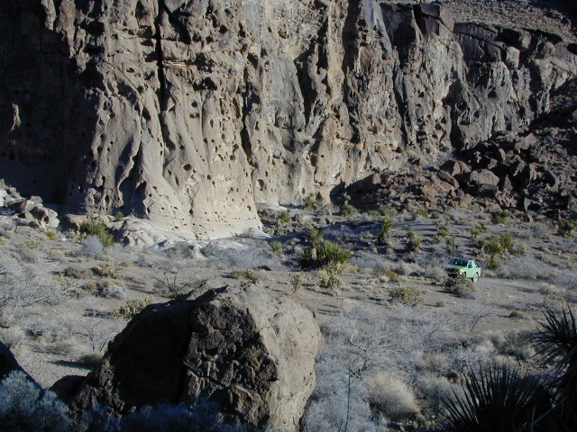
Similarly named, Hole in the Wall Campground is a popular spot in the Mojave National Preserve. Group facilities, horse corrals, developed campgrounds, centrally located, yet close to Interstate 40.

Stop by the “Hole in the Wall” Information Center (760) 252-6104, for more info and maps. The most popular hike, the Ring Trail, will leads thru rock face (above) to the campground on Black Canyon Road, on the other side of this huge rock wall.

Mid Hills Campground (nearby) has better choice on secluded camping, but rougher road to access. Mojave desert has abundant camping, so there is plenty space for everyone!

mojavehikes
Mojave Hikes @ Hole in the Wall


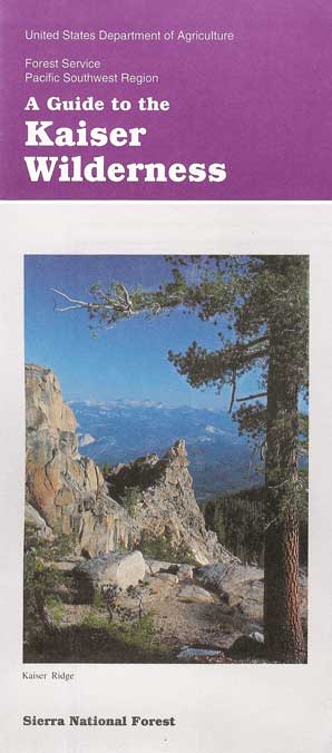
Kaiser Wilderness

China Peak Hiking
Hiking near China Peak – summer 2002

22,700 acres
Kaiser Pass Road
Sierra National Forest

2020 wildfire: CREEK FIRE
has burnt the majority of this wilderness, roads, trails, lake shores and most campgrounds

Central Sierra Nevada Mountains/ Kaiser Pass & Kaiser Peak / Highway 168

One of the best cell phone coverage areas for any California Wilderness location, this central Sierra region is located south of Yosemite National Park and known primarily for Shaver Lake.

California Hwy 168, along with Dinkey Creek Road (southward) and Kaiser Pass Road (northward) leads off in all splintered directions to secluded campsites, rivers, creeks, lakes, developed campgrounds and amazing forest scenery. Off road trails and hiking trails, everywhere back here! But it is best to have several good maps for cross reference.

This Sierra National Forest region includes all hydroelectric dams and lakes surrounding Shaver and Huntington Lake, including Florence Lake, Ward Lake, Edison Lake, Mammoth Pool, Courtright Reservoir and Wishon Reservoir.

Dusy Ershim Trail 4×4 travels past Kaiser Peak and the cell phone towers. Several primitive camp sites with views on ridge. Numerous developed NFS Campgrounds out this way along Kaiser Pass Road.

Trailheads for horseback, hiking, backpackers, mountaineers, rock climbers. Snowmobiles love this amazing route when the snow is deep; some west coast winters can be better than others. Know before you go!

Kaiser Wilderness are granite mountain peaks, near Huntington Lake & the China Peak ski resort, formerly called Sierra Summit Ski;  One lane narrow backcountry paved roads: Kaiser Pass Road 80 (east of Huntington Lake) and Stump Springs Road 5 is West Kaiser (west of Huntington Lake)

Views in 2002
Sierra Views in 2002
WhiteFir Camp
White Fir Campsite
China Peak Hike Map
China Peak Hike w/ Map

hiker

Sierra National Forest

Kaiser Pass Road, elevation 9184′

25 mph – pothole paved, barely maintained one lane road, 20+ miles. Kaiser Pass is closed in winter months, but accessible by snow-mobile.

snowmo

recreation –
sierra National Forest map

  • backpacking
  • camping
  • creeks
  • cross country ski
  • fishing
  • hiking
  • lakes
  • mountain biking
  • mountaineering
  • picnicking
  • rock climbing
  • rivers
  • snow mobiling
  • snow skiing

Sierra Topo Maps

Sierra Map Tom Harrison
Sierra NF Map USDA
Kaiser Wilderness Map
Ansel Adams Wilderness USDA
Ansel Adams Trail Map
Dinkey Lakes Wilderness USDA
Dinkey Lakes Trail Map
John Muir Trail Maps
Mono Divide High Country
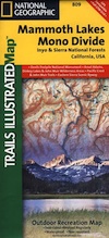
NatGeo Mono / Mammoth Map

surrounding wilderness and forest lands –

Ansel Adams Wilderness
Dinkey Lakes Wilderness
Inyo National Forest
John Muir Wilderness
Kings Canyon NP
Sierra National Forest
Yosemite National Park

National Forest & Wilderness Permits –

USDA Sierra NF

More Kaiser Wilderness Info & Links –

sierrawild.gov/wilderness/kaiser
summitpost.org/kaiser-peak
Kaiser Wilderness Wiki
San Joaquin River
Don’t Tell Anyone Campsites
Mono Hot Springs

kaiserpass
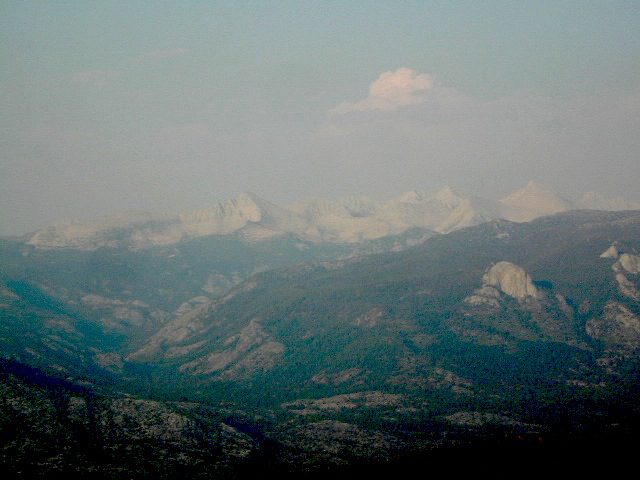
View from Kaiser Pass Trail – Huntington Lake in far back left


14S11 – Sequoia NF

trails to meadow

Big Meadows Road: Sequoia Forest Rd# 14S11

SEPT 2021: Closed due to the KNP Complex Fire

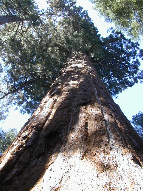
GIANT SEQUOIA: in between Sequoia & Kings Canyon, inside Sequoia NF

Sequoia Meadows

This chunk of National Forest land is perfectly located in between 2 very popular National Parks – Kings Canyon and Sequoia. This primary paved road leads to some great camping, a perfect option for NOT camping inside the crowed National Parks.

Turn east off of Sequoia ‘Generals Highway’ 198, on to the well signed Big Meadow Rd. There is primitive camping all over this area & a few developed campgrounds along this route. Motorhomes be warned: the road narrows to one lane with no “turn outs” or U turn spots for the last 10 miles (on a steep cliff w/ large overhanging rocks)

SEE CAMPING PHOTOS

campIn the first few miles, the dispersed camp sites on the right side have great views & some situated on fairly flat granite slabs, perfect for astronomer campers or adventurous RVs. To the left side of the road is more primitive style campsites in wooded areas. The whole area is also a very popular cross country ski & snowmobiling spot for winter recreation. Hunters also like these camps during hunting season (in September).

horseback

There is a developed Horse Camp on the left side of the road for equestrian campers. This camp is located across from the biggest meadow and may be the first place you notice on this drive.


Buck Rock Campground
(7600′ elevation, 5 spots) & Big Meadows Campground (7600′ elevation, 25 spots) are both family style camps, perfect for those who want picnic tables, plus bathroom nearby. Sorry no flush toilets out here, only pit toilets.


Sequoia maps

Buck Rock Fire Lookout Tower @ 8500′ elevation – is located to the north on Forest Rd # 14S02. It’s a great spot for some impressive views – if you aren’t afraid of heights. To reach the tower you must climb several flights of steel steps. This place is worth a stop if planning a sightseeing day.

Big Meadows Guard Station @ 7500′ elevation (also known as Big Meadows Cabin), is located next to the BIG MEADOW and is available for rent on a weekend basis from the NFS. Hiking Jennie Lakes Wilderness and fly fishing Big Meadows Creek are favorite activities to be enjoyed.

Big Meadows Road is long & narrow – 12+ miles. RVs are not recommended beyond the Big Meadow Campground, as the road is one lane in some spots & it skirts a cliff edge. The views are incredible the farther you go & many creeks feed the region.

The narrow, long paved road eventually forks off into several smaller dirt roads back near Horse Corral Meadow. Way back here, the dirt roads lead out to trail heads for backpacking, horse packing or day hiking in Jennie Lakes & Monarch Wilderness. Backcountry access to either Sequoia or Kings Canyon National Park! Have a good map if you plan to venture out this far. Pay attention & don’t get lost.

GPS would be helpful in this area. Some of the smaller of the dirt roads are not even on the NFS maps. Make sure to GPS way-point your favorite camp site, so you can find in next time…. in the dark.

Sequoia National Forest

Sequoia National Forest MAP

nearby services:

Sequoia Groves

see all – Big Meadows in California 

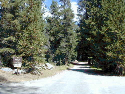
Marvin Pass Trailhead

22S82 – Sequoia NF

Forks of the Kern: Forest Rd# 22S82 – Lloyds Meadow Road
Jerky Meadow Trailhead, Sequoia National Forest

SEPT 2021: Closed due to the Windy Fire

Driving north on Sierra Hwy N of Kernville, California; Passing Fairview & the Johnsondale bridge; After the R Ranch @ Johnsondale, take the right fork off the main highway, which goes deep into Kern River Gorge. This narrow & winding paved road skirts the Upper Kern River Gorge & the impressive Rincon Fault. Numerous primitive camp site can be found on dirt roads off this paved route. The pavement dead ends at Jerky Meadow trail head, which accesses the Golden Trout Wilderness & the Great Western Divide. Backpackers can get to the high country Sierra Nevada & Mineral King in Sequoia National Park from these trails.

Forks of the Kern

Boy Scout Camp Whitsett is one of the first places you pass, near Sentinel Peak.

The Western Divide Hwy runs parallel to road 22S82; way up above it @ 7000′ elevation – with destinations like Dome Rock & the Needles (2 very cool granite features) that overlook this Kern Gorge. The small community of Ponderosa, CA is also up there, along with the quaking aspen groves & the Trail of 100 Giants. Forest Rd# 22S02 connects paved route 22S82 to the Giant Sequoia highway above.

There are many primitive camp areas way above Kern River Gorge – all located on the right side of this road 22S82. Look for small signs for CAMP AREA #1-6. Camps 1-3 are great for RV campers with creeks & dense forests. Long Meadow Creek is one of the first of many streams, you will cross as driving this paved, winding, canyon route. Camp areas #4, 5, & 6 are the best bet for seclusion, plus awesome hiking trails to falls, granite pools & the impressive Kern gorge. Swimming holes are plentiful. Fishing can be decent at times. Many waterfalls can be found in this region as the tributary streams fall towards the deep granite gorge in the Sierra Nevada range. All roads off of 22S82 are dirt roads & most are passenger car accessible. Wetter months could be challenging. Some routes back here are considered to be 4×4 routes tho, so know your vehicles limitations. High clearance is needed to reach some camp sites. Summers can be busy.

This area was burnt from recent wildfires in 2002-2005, but the primitive, dispersed campsites near the streams are full of vegetation & making a nice comeback. Alder Creek runs down from the Sequoias, into Dry Meadow Creek nearby.

Lower Peppermint Campground @ 5300′ elevation, on the west side of the road, is the only developed camp ground on this main forest road. Lower Peppermint has 17 spots, piped water, & picnic tables. Peppermint Meadows & Peppermint Creek are adjacent to the camp area.

Lloyd Meadows @ Sequoia Forest Road# 20S67 – is the Forks of the Kern Trailhead & the dirt road that accesses it, is very popular among equestrian campers. Freeman Creek joins Lloyd Meadows Creek near Pyles Camp. There is a small developed campground called “Forks of the Kern”. Steep trail leads down to the granite gorge where Little Kern River meets the main Kern River; Rattlesnake Creek & Ninemile Creek also join the Kern River in this 10 mile stretch. Kern Hot Springs requires a backpacking trip.

Sequoia National Forest

Sequoia National Forest MAP

GOLDEN TROUT Wilderness MAP USDA
GOLDEN TROUT MAP (Tom Harrison)

Closest small towns are:

Los Coyotes

los coyotes SD

Los Coyotes Camping
Los Coyotes Reservation Campground

North County San Diego
Camping SD

Way out there, on your way to the Borrego desert, past Warner Springs somewhere is this little gem of a location. Near the southern slopes of Palomar Mountain, on the edge of Cleveland National Forest.

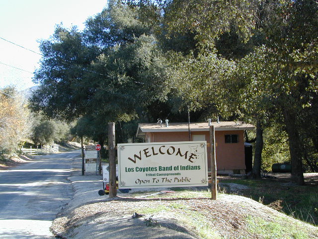
Los Coyotes Band of Indians Tribal Campground

open to the public

Great rural location, in-route to many destinations in Southern Cal. Temecula wine country, Warner Springs, Culp Valley, Anza Borrego Desert State Park, Borrego Springs.

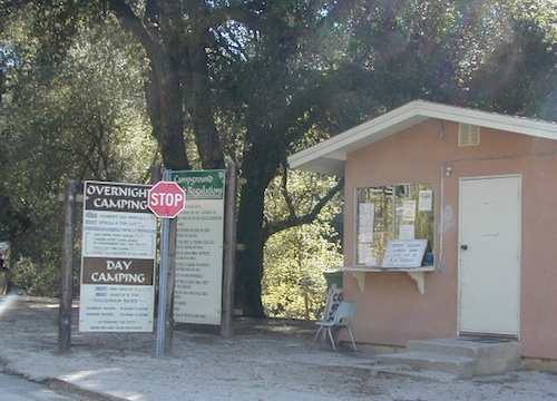
Campground is a popular spot with locals, so note that some weekends can get rowdy. Ask about a more secluded camp site option if needed. There is plenty of primitive land out here.

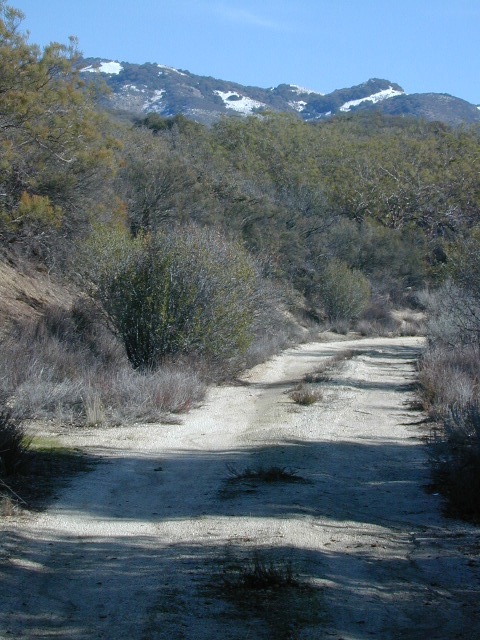
Oak trees and boulder hills, dirt roads, near Hot Springs Mountain. North San Diego County.

Los Coyotes Band of Cahuilla & Cupeño Indians

Warner Springs, CA 92086
RECREATIONAL# 760-782-0712
ADMIN# 760-782-0711

payherebooth

snowx
Hot Springs Mountain SD

Silver Lake @ Lassen

Lassen Camp Site

AUG 2021

both lakes listed below CLOSED, due to wildfire 

Lassen Volcanic National Park is CLOSED also.

Silver Lake @ Lassen

(Lassen Co)

6400′ elev. inside Lassen National Forest
East of Lassen National Park

Silver Lake Road #10
20 miles off Highway 89. Northbound, outside of Westwood @ Lake Almanor, take County Road A21 to County Road 110 (Silver Lake Rd)

a21sign

Dirt road boat ramp @ southern end of lake. Winter weather & snow closes this area annually, so this lake is mainly a summertime destination. Mid-week tends to be less popular for those seeking seclusion.

  • backpacking
  • fishing
  • camping
  • canoe
  • hiking
  • kayaking

Hiking trails lead to Caribou Lake, Emerald Lake, Betty Lake, Trail Lake, Shotoverin Lake & Caribou Wilderness.

campground

Silver Bowl Campground NFS

• Elevation: 6400′
• Number of Sites: 18
• Vehicle Accessibility: small RV
• Campsites Reservation: No
• Camp Fee: Yes
• Toilet: Vault
• Water: piped/potable
• Length of Stay: 14 Days
• Season: May – October
• Trailheads: Caribou Wilderness

Lassen National Forest
Almanor Ranger District
900 East Highway 36
Chester, CA 96020
530-258-2141

silverlassen

2 Silver Lake in East Lassen? Surely.

Only 12 miles apart. As the crow flies.

Largest is Silver Lake, south of Caribou Lake, Lassen National Forest. East of the National Park, accessible by vehicle. The popular one that is mentioned above.

camp

Small Silver Lake at 6600′ elevation, is a hike-in only lake. Inside Lassen National Park, west of Snag Lake and the Fantastic Lava Beds.

hiker

See all Silver Lakes in California

32S13 – Los Padres NF

Sierra Madre Road
Sierra Madre Ridge, San Rafael Wilderness

Los Padres National Forest
Forest Road #32S13

off of Cuyama Valley Hwy 166

32S13 Sierra Madre Road

East of Santa Maria, CA – along Highway 166 (on the south side of the pavement) are several dirt roads that lead up to the main ridge road that access this part of Los Padres National Forest.

  • backpacking
  • camping
  • dirt bike trails
  • dirt roads
  • hiking
  • horse camping
  • mountain biking
  • off road routes
  • petroglyhs
  • wildflowers

4WD not required, but high clearance is helpful. Open almost all year. Rainy season gate closures (at hwy) during winter months.

4x4

dirtbikes

cruiseronridge

Sierra Madre Mountains

Miranda Pine Mountain (elev. 4120′)
Timber Peak (elev. 4754′)
Peak Mountain (elev. 5843′)
McPherson Peak (elev. 5749′)
Samon Peak (elev. 6221′)

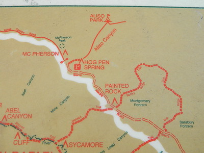
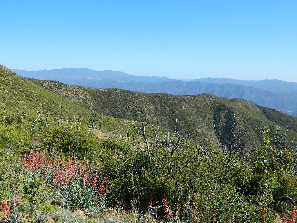
Sierra Madre Ridge is forest road #32S13, which parallels Hwy 166 (Cuyama River) for over 50 miles on the Sierra Madre Ridge at approx. 5000 feet elevation.

NOTE: A good stretch of this dirt road is closed to vehicle traffic. Although it connects to Santa Barbara Canyon near Ventucopa, you cannot drive it. Only hike or mountain bike!

Hog Pen Sign

NFS Gate locked at the HOG PEN trailhead, and from there you can bike or walk all the way the other end at Santa Barbara Canyon near Cuayama Fire Lookout @ Dick Smith Wilderness

Still Standing

camp

Small campgrounds in the region:

off Highway 166
Miranda Pine Campground (on 32S13 @ 11N03)
Bates Canyon Campground (via Cottonwood Canyon Rd)
also known as White Oaks Campground
Aliso Canyon Campground (via Aliso Canyon Road)
not accessible by vehicle, from dirt road 32S13; only by trail

in the backcountry
Painted Rock Camp (hike-in)
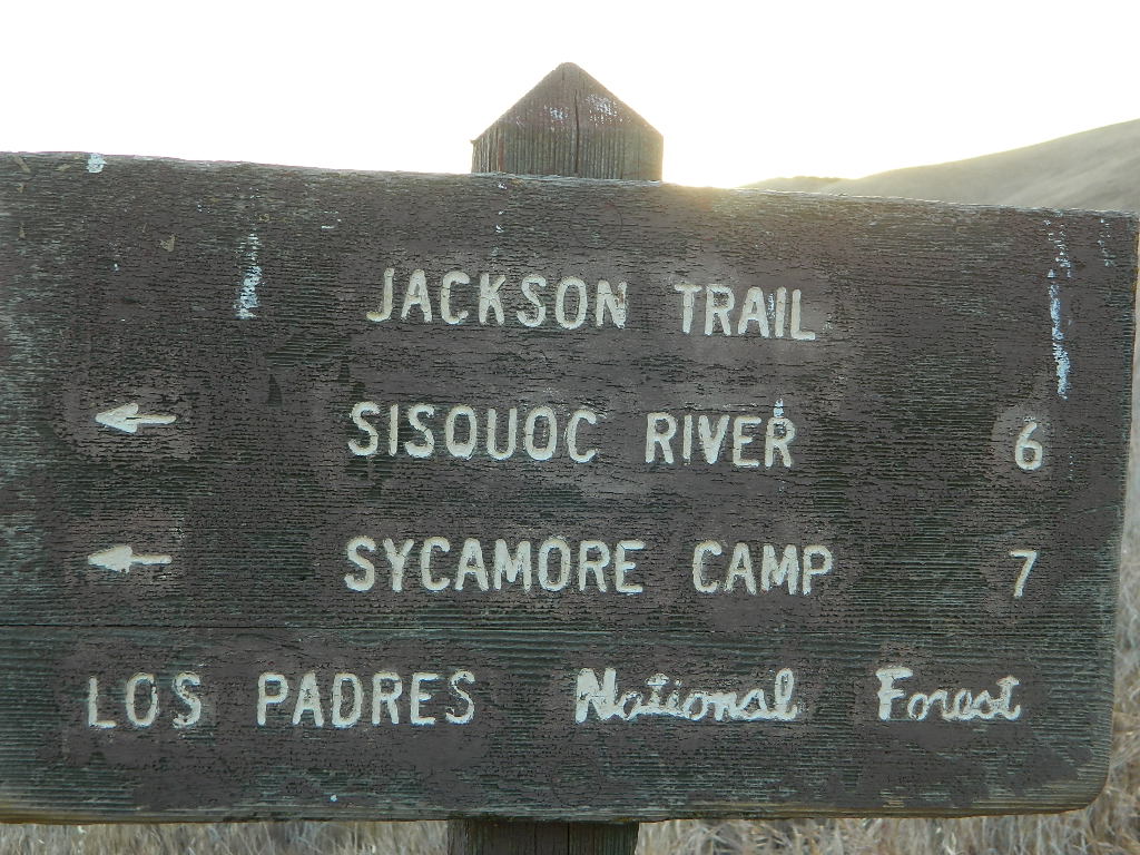
Sycamore Camp (hike-in)

high clearance, off road accessible
Horseshoe Springs (11N04)
Lazy Campground (11N04)
Wagon Flat Campground (11N03)
Barrel Springs (10N06)
Colson Canyon (11N04)

wildflower

coastridges

Highway 166 Cuyama River Valley
EAST San Luis Obispo County

Wildflowers Bloom: APRIL-MAY

mayflowers

redflora

San Rafael Wilderness

Sisquoc River
Native Rock Art
Sierra Madre Mountains

Rock Art Sign

MAPS of the Area:

hiker

Los Padres USFS MAP
Los Padres Topo Atlas
Los Padres West NatGeo Map
Dick Smith Wilderness Map

sisquocriver6nearby destinations: 

Cuyama Peak Fire Lookout
New Cuyama, CA

Rock Front Ranch 4×4
Santa Maria, CA
Ventucopa, CA

Matilija Wilderness

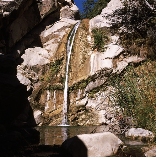
Upper Matilija Fall

Matilija Wilderness
Matilija Falls

Matilija Canyon
North of Ojai, California

Los Padres National Forest Map

Established 1992 by the Los Padres Condor Range & River Protection Act.

29,600 acres
Ojai, CA

Los Padres National Forest
Ojai Ranger District
805-646-4348

USDA web link – Matilija Wilderness

hikelospadres.com/matilija-wilderness

The coastal mountain range wilderness located approximately 12 miles north of Ojai, CA. Drive 5 miles N on Highway 33; left at the Matilija Canyon Road turn off.

Chaparral is the prevalent vegetation with poppies plentiful in springtime. Cottonwood, alder and maple trees dominate the canyon. One trail has trail campsites along it and follows 9 miles of the North Fork, gaining about 3,400′ feet in elevation as it makes a north-south journey, and leaving the Wilderness at a parking area on Cherry Creek Road. This road is open seasonally from Aug. 1 to Dec. 15

small water fall

This whole area burnt in a recent wildfire and much of it may be closed off to the public.

Matilija Canyon Trails & Trailheads

Landowner closes popular trail to Matilija Falls (2010)


View Larger Map

aaron climbing

Matilija Creek Bed

Wildrose Campground

Wildrose Campground – Death Valley

wildrose3

Wildrose is an all-season campground in Wildrose Canyon, on the western edges of Death Valley National Park. This canyon gets very windy, so bring your guy lines, stakes & ropes for securing your tent. Motorhome RVs can make it in here, since the narrow road is a paved route – but be warned it can be curvy and slow going with the climb in elevation. This camp stays cooler than anything on the desert valley floor, so in summer months it can fill up quickly. Further up the hill are both ThorndikeMahogany Flat Campgrounds (both close in winter, due to snow)

• Elevation: 4,100′
• Number of Sites: 30
• Vehicle Accessibility: Open to all
• Campsites Reservation: No
• Length of Stay: 30 Days
• Season: year round

wildrosecamp

Directions:
From Stovepipe Wells, follow Highway 190 W to Emigrant Canyon. Turn left on Wildrose Road and follow it thru the tight rocky canyon, climbing in elevation the whole way. Wildrose Campground is obvious and near the charcoal kilns turn off.

From Panamint Valley, take Wildrose Road up.


View Larger Map

Death Valley MAPS –

Death Valley Park – NatGeo
Death Valley Topo Map – Tom Harrison

Nearby attractions:

Death Valley National Park
Panamint Valley
Ballarat Ghost Town
Skidoo Town Site
Charcoal Kilns
Telescope Peak
Tuber Canyon
Tucki Mine

Fishing Maps California

owensfishing

California Fishing Maps & Destinations

California fishing recreation ranges from sport-fishing, an open sea adventure, to solo casting in deep river canyons. Big Sierra Reservoirs near Gold Rush Country to High Country Alpine Lakes, the golden state has the water – and the outdoor recreation you crave.

Below is an alphabetical list of popular fishing destinations within California. Mountains to coastline, there are many maps to choose from.

American River, California

gonzagadusk

Baja California Maps
Surf, Camp, Fish, Kayak, Dive
Sea of Cortez, Baja CA Mexico

Big Bear Trail Map
San Berdoo Mountains Map
San Bernardino National Forest Map USDA
San Bernardino National Forest
Big Bear Lake, Arrowhead & Idyllwild
SoCal Mountains

Lake Berryessa California
Wine Country Reservoir

Bishop Creek Eastern Sierra

Bishop Pass Trail Map
North Lake, Sabrina, South Lake
Bishop Creek, Eastern Sierra

Bucks Lake Wilderness Map
Bucks Lake Wilderness, Quincy CA
Bucks Lake Campgrounds
North Sierra Mountains

California Delta Maps

Carson Pass, Sierra Highway 88
Carson Iceberg Wilderness Map
Central Sierra Nevada Lakes & Rivers

Casitas Lake, Ventura County

Clear Lake, Wine Country California

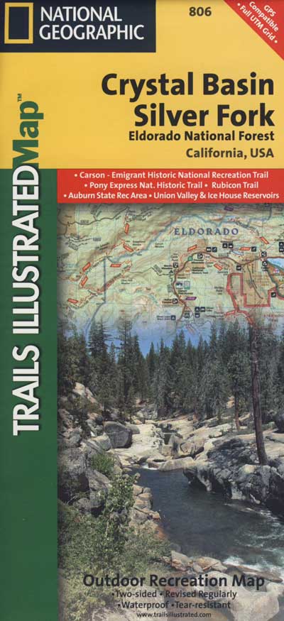
Crystal Basin Sierra Nevada

Crystal Basin / Silver Fork Map
Central Sierra Nevada Mountains
Eldorado National Forest

El Dorado National Forest Map
Mokelumne, American River

Dinkey Lakes Wilderness Map
Tom Harrison Map
Sierra Hikes, Dinkey Creek

Golden Trout Wilderness Map
Upper Kern River, Southern Sierra

Green Creek Road
creek fishing, trailhead campgrounds
Bridgeport, CA Eastern Sierra

Hat Creek California 
Headwaters to the Pit River

Lake Havasu, California 

Hoover Wilderness Map
Hoover Wilderness
Bridgeport, CA Eastern Sierra

Hot Creek @ Mammoth Lakes, Eastern Sierra

Inyo National Forest Map
Mount Whitney, Owens River, High Sierra Lakes
Bishop, Crowley, Mammoth & June
Eastern Sierra Nevada Mountains

Kearsarge Pass Topo

Kearsarge Pass Trail Map
Rae Lakes Loop, High Sierra
Onion Valley, Eastern Sierra

Kings Canyon High Country Map
Kings Cyn National Park
Trails, Peaks, hike-in only Lakes

Klamath National Forest Map
Klamath River, NorCal
Hwy 96, Happy Camp, Hupa/Hoopa

Lakes Basin Recreation Area
Lakes Basin Map USDA
over a dozen small lakes, w/ trails, fishing
Gold Lake California
Sierra Buttes, North of Gold Country

Lake Isabella, Kern River

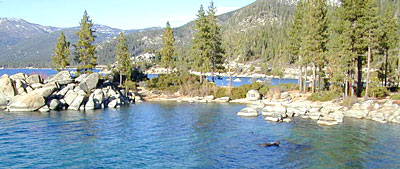
Lake Tahoe, Sierra Nevada Mountains

Lake Tahoe Map

Lake Tahoe Basin Map NatGeo

Tahoe Eastshore

Lassen Forest Map
Lassen National Forest &
Lassen National Park
Feather River, Lassen Lakes

Mammoth Map

Mammoth Lakes Map NatGeo
Mammoth Lakes CA
Mono Divide, High Sierra
June Lake, Eastern Sierra Recreation

Rush Creek

Lake Mead, Nevada

NatGeo Lake Mead Map

Lake Mohave, Nevada

Merced River Recreation Map NatGeo
Merced River & Tuolumne River
Yosemite Camping & Fishing
Gold Country, Western Sierra Rivers

Millerton Reservoir, West Sierra
Fresno, CA

Mineral King Trail Map
Southern Sequoia National Park
day hike to wilderness lakes

Owens River, Eastern Sierra

Plumas National Forest Map
Lake Almanor, Lake Oroville
Feather River (all 4 forks)

Piru Lake, California

Pit River Fishing Map 

Sacramento River, North State

Sequoia National Forest Map
Kern River, Lake Isabella
Kern Plateau, Kennedy Mdws

Shasta National Forest Map
Sacramento River, Lake Shasta
NorCal fishing, Mount Shasta

Sierra National Forest Map
San Joaquin River, Dinkey Creek
Dinkey Lakes Map
Kings River, Pine Flat Reservoir
Lake Edison, Florence
Shaver Lake Map, Huntington Lake
BlackRock, Courtright, Wishon

Stanislaus National Forest Map
Stanislaus National Forest
Sonora Pass, Dardalelle
Stanislaus River, Gold Country

sierra buttes

Tahoe National Forest:

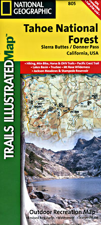
Tahoe Sierra Buttes Map NatGeo
Sierra Buttes / Donner Pass
Lakes Basin Recreation Area

Tahoe Yuba Map NatGeo
American River, Yuba River
Gold Country California

Toiyabe National Forest:
Eastern Sierra Nevada Mts

Toiyabe Carson Map
Carson River, Markleeville
Eastern Sierra, South of Tahoe

Toiyabe Bridgeport Map
Walker River, Twin Lakes
Eastern Sierra, Yosemite East

walker river California
Walker River California

Walker River Fly Fishing Map

lakes

let’s not forget the ever expanding…

California Lake List

rocklakefishing

Mammoth Fishing


Stark Weather Lake

Originally uploaded by danamight

Mammoth Mountain Lakes / Eastern Sierra Fishing

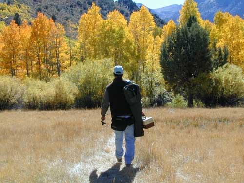
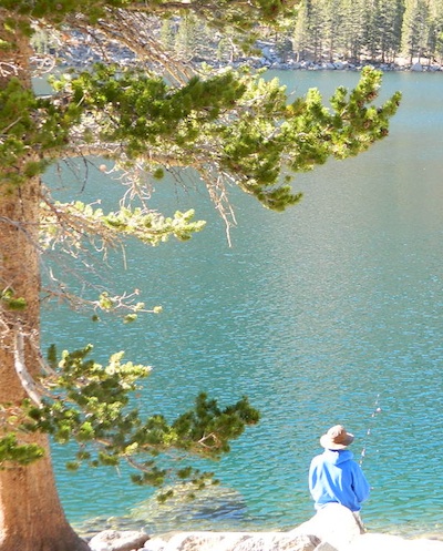
Sure splendor for fishing, most of the time. Lake fishing, stream fishing, river fishing. Fishing the Eastern Sierra area, near Mammoth Lakes, California can be very rewarding. You may have read about places like these in the sports magazines, seen them on a television program, or imagined them in a fishing vacation day dream. Summers can be crowded, so pick a lake and camp carefully. Weather can change quickly, so come prepared. Autumn fishing w/ the golden aspens and less crowds is preferred.

fishing trip

Most of these Eastern Sierra lakes listed below are accessible by car, others by foot. Look at the photos, pick a destination and get a good map of the area, so you can explore everything around too.

Mammoth Lakes Area

Mammoth Area Lakes – Mammoth City

Mammoth Area Creeks –

Mammoth Area Rivers –

  • Owens River (high desert valley)
  • San Joaquin River (high country)

junelake

June Lake Loop
Eastern Sierra, US 395 @ Hwy 158

June Area Lakes –

June Loop Creeks –

Mammoth Maps

inyo maps
Inyo National Forest Map

Ansel Adams Wilderness Maps
Devils Postpile Map
Mammoth High Country Map
Mono Divide Trail Map
Mammoth Mono Map NatGeo

other Eastern Sierra maps –

Bishop Pass Trail Maps
Hoover Wilderness Trail Map
John Muir Wilderness Maps
Mono Lake Map
Palisades Trail Maps

horseback overnight trips
Abundant Horse Packers in Eastern Sierra, California

Trailhead CA

bike  mountain biking
hike  hiking trailhead
bkrd  4×4 trailheads
horse equestrian trails

Rock climbing, backpacking, fly fishing creeks, snowmobiling, you name it. No matter what kind of trail you seek in California, we have the maps to get you out there, this weekend. If you seek a week long adventure in the Sierra high country, or a weekend getaway destination you’ve never heard of, or a quick after work hike near your home town, we just might have it listed. And we probably have the waterproof, topographical map too.

tentcabinyosemite

DOGS & BIKES on TRAILS:

Dog friendly trails include almost anything within the CA National Forests. Remember that most National Parks & State Parks literally forbid dogs on hiking trails. Mountain bikes can access only certain trails in parks, but in the National Forests nearly every trail or dirt road is up for grabs.

OHV ROUTES:

snomoiMotorized vehicles, such as quads, ATVs, dirt bikes, Jeeps & 4x4s must stick to designated routes signed specifically for OHV (off highway vehicle) & you won’t be finding many of those inside National Parks & State Parks, so it’s best to look for BLM or NF lands. Many regular, forest, back roads close in winter due to heavy snow pack & thus become cross country ski, snowshoe or even snowmobiling trails. The best ones can be found in the Sierra Nevada mountains.
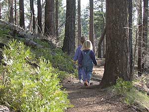
Explore a decent selection of random trail heads within Cali.

hiking in Forest

And if you ever get bored with “reading” text about trails, you can always search the visual database of amazing Cali scenery over at DanaMite’s flickr site

California Fire Road