
The Camarillo Fiesta Street Fair is renowned for the wide variety of entertainment and attractions. Big, local event which includes carnival rides, a street fair, petting zoo, concerts, and even an art show.
Annual event; July
camarillofiesta.org


The Camarillo Fiesta Street Fair is renowned for the wide variety of entertainment and attractions. Big, local event which includes carnival rides, a street fair, petting zoo, concerts, and even an art show.
Annual event; July
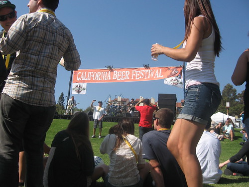
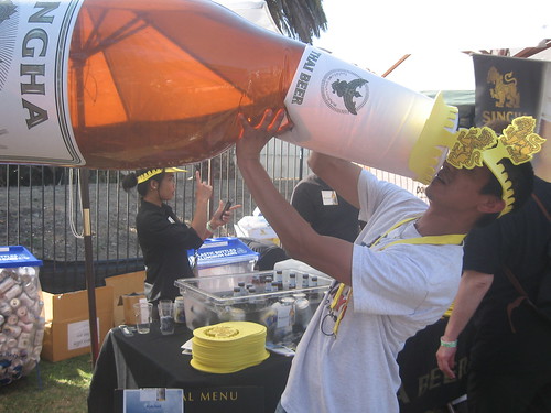
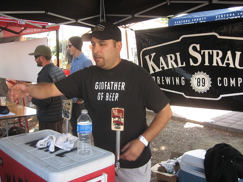
this festival is now known as the Surf ‘n’ Suds Beer Festival or shorter the Surf Beer Fest
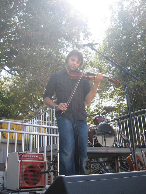
Over 70 craft breweries, ciders, kombucha, seltzers, and wine. Surf ‘n’ Suds includes live music, street fair vendors and food trucks. Surfboards shapers, local non-profits, plenty of shade and free water stations.
San Buenaventura State Beach
901 San Pedro Street
Ventura, California
Annual event; October
One day event
805-323-5691
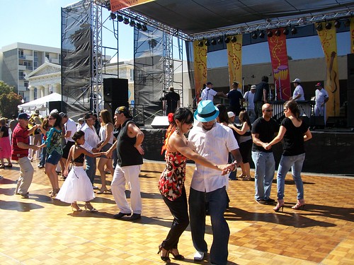
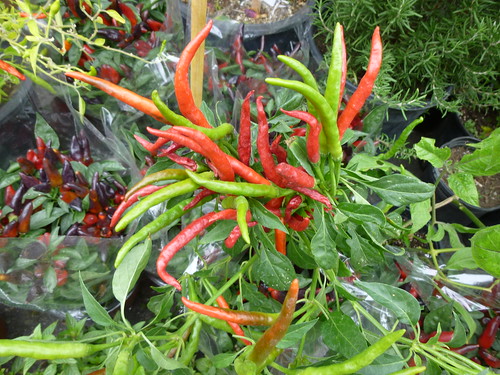
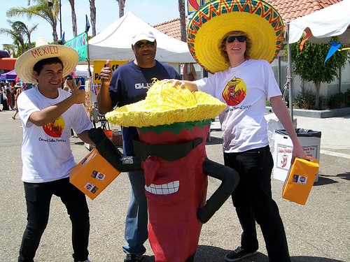
25+ years of Salsa @ the annual Oxnard Salsa Festival, on the Ventura coastline. Spicy food, hot music & cool ocean breezes welcome you to the regions biggest Latin celebration. Salsa tasting & competition. Live music, dancing & great Mexican foods.
Annual event; July
on US Hwy 101 Seacliff / Mussel Shoals stretch of beach
blue links lead to State Park pages with camp reservations.
![]()

64,800 acres
30 miles N of Ojai, CA
Los Padres National Forest
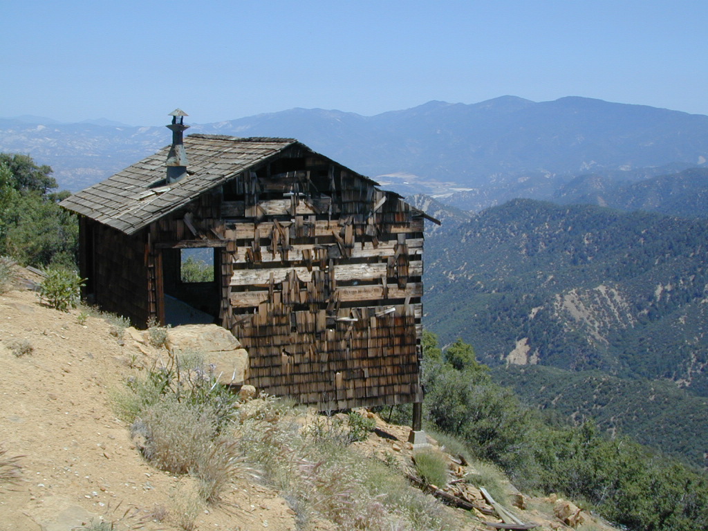
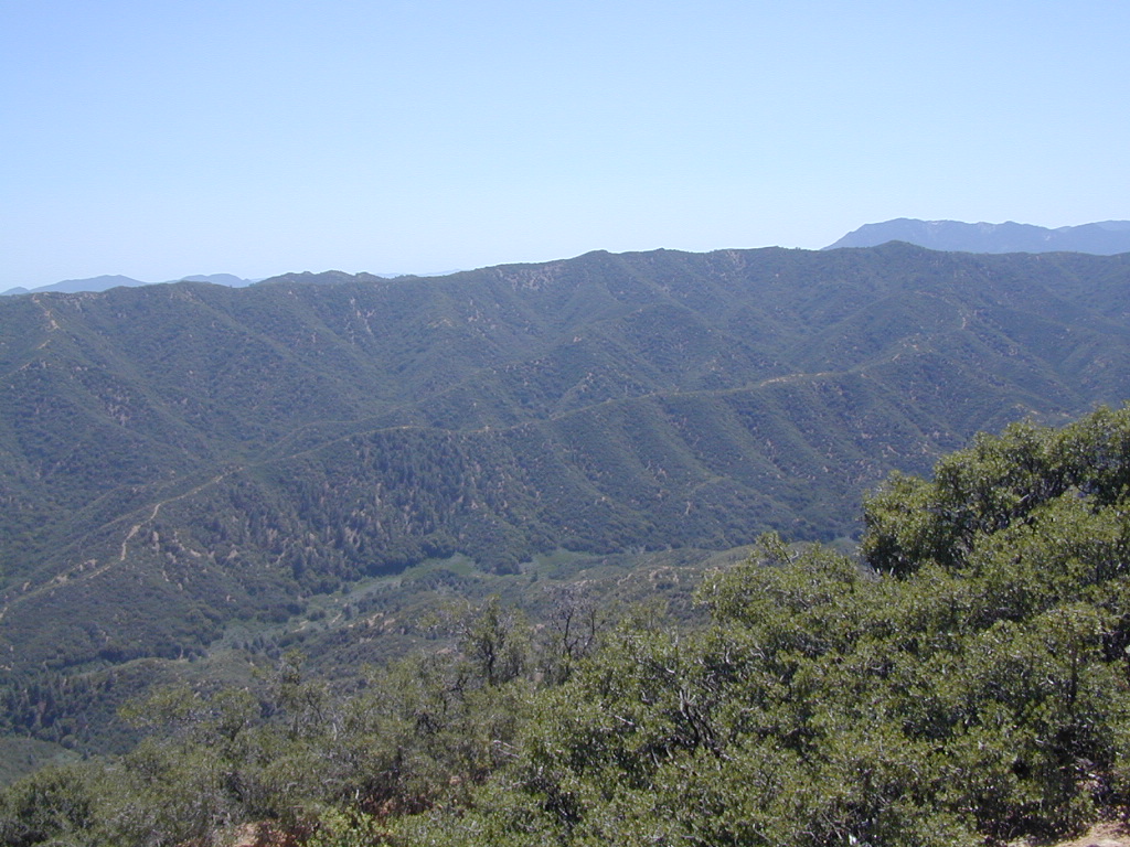
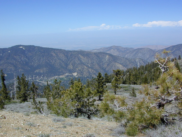
Los Padres National Forest – Located in between the Santa Barbara coastline and the Cuyama Valley, this coastal wilderness area is situated miles north of Ojai, off Highway 33.
The Dick Smith Wilderness is where the San Rafael Mountains and the Sierra Madre Mountains merge on the east side, next to Pine Mountain Summit (elevation 5080′ @ highway).
This PINE MTN turn off should not to be confused w/ the Pine Mountain Club, on the north side of Cerro Noroeste.
Big Pine Mountain – 6828′ elevation
Cuyama Peak – 5875′
Lizard Head – 5350′
Madulce Peak – 6536′
Samon Peak – 6527′
Closer to Ojai, Matilija Wilderness is on the southern boundary of DickSmith and the San Rafael Wilderness sits to the west side. Native American petroglyphs can be found in this mountainous region. Access to “Painted Rock” on the Sierra Madre ridge, via Road #32S13 (which has a locked gate on both ends), is a long one so you might want to bring the mountain bike. The dirt road hike is about 10 miles (one way) and it starts at the Santa Barbara Canyon trailhead. If you plan to visit the rock art from the west side – take the dirt road up past Bates Canyon Campground. The turn off on Hwy 166 is called Cottonwood Canyon. Park at the hog pen trailhead and follow Road #32S13 for miles.
hiking trailheads –
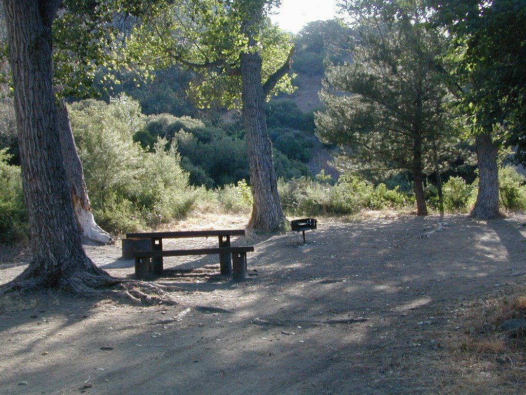
area campgrounds –
nearby towns –
![]()


Frazier Park and neighboring towns, like freeway-close Lebec and Gorman, is where the Los Angeles hills meet the Kern County mountains. Mojave Desert meets to Coastal Range. EXIT I-5 @ Tejon Pass (elev 4144′)
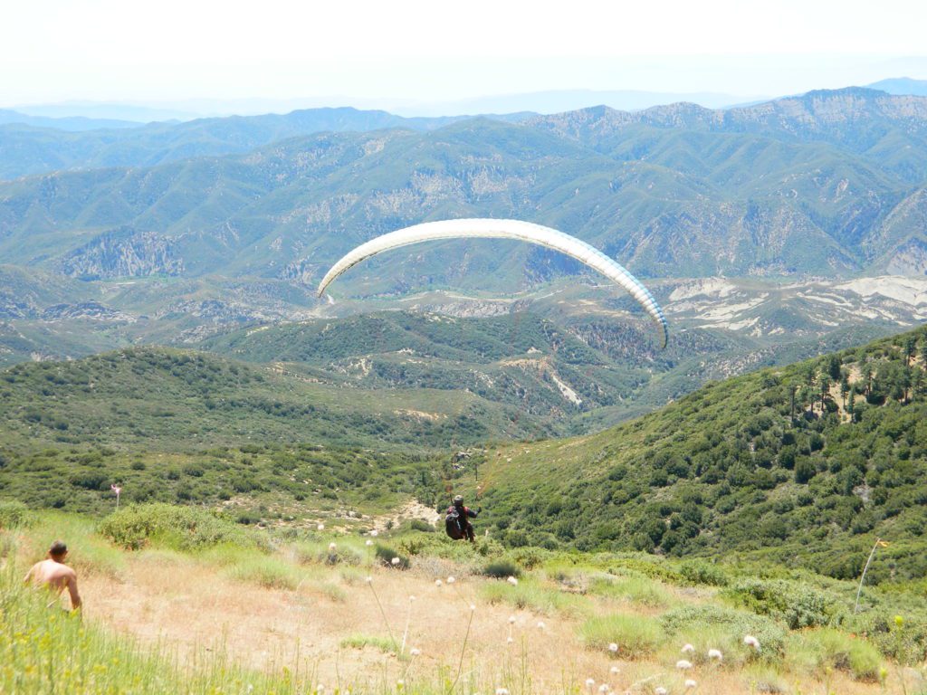
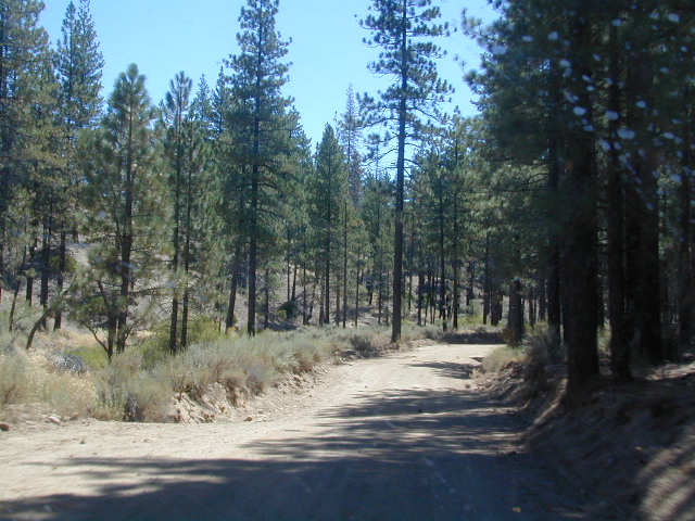
Wildflower hills, seasonal creeks, forested peaks, high desert canyons. Bike trails, hike trails, off road routes. High elevation backpacking, hang gliding, mountain biking and camping in every direction.

High desert washes, oak creeks, pinyon pine forests, mountain meadows and numerous peaks – Frazier Peak, Reyes Peak, Alamo Mountain, Mount Pinos, Mount Abel (Cerro Noroeste) and north facing San Emigdio ridge.
| campground | elev | spots | veg | toilet | water | notes |
| Aliso Park, Cuyama | 3200′ | 11 | oak | pit | no | Aliso Cyn Rd. (#10N04) |
| Ballinger OHV Camp | 3000′ | 20 | pinyon | vault | no | Rd# 9N10, Cuyama Valley |
| Camp-O Alto | 8286′ | 12 | jefferey | pit | no | ridge, Cerro Noroeste |
| Caballo Campground | 5850′ | 5 | oaks | pit | no | Rd# 9N27, Cerro Noroeste |
| Cherry Creek 4×4 | 5200′ | 2 | oak | no | spring | 4WD trail, Cuddy Valley |
| Chuchapate Campground | 6000′ | 30 | pines | vault | piped | Rd# 8N04, closed winter |
| Chula Vista Walk-In Camp | 8300′ | 12 | pines | vault | no | walk-in camps & RV lot |
| Cottonwood Campground | 4600′ | 2 | ctnwd | no | creek | 4WD only trail, fish |
| Dome Springs Camp | 4800′ | 4 | oak | pit | no | Rd# 8N40, Lockwood |
| Dutchman Camp | 6800′ | 8 | pines | no | no | Rd# 7N01, 4WD trails |
| Half Moon Campground | 4700′ | 10 | pines | pit | no | Rd #7N03, May-Oct |
| Kings Campground | 4250′ | 7 | pinyon | vault | no | OHV & Piru Creek |
| Marian Campground | 6600′ | 5 | pine | pit | no | closed in winter |
| McGill Campground | 7500′ | 50+ | pine | vault | seasonal | mountain biking |
| Mount Pinos Campground | 7800′ | 19 | pine | vault | seasonal | closed winter |
| Nettle Springs Camp | 4400′ | 9 | pinyon | vault | no | Rd# 8N06, Apache Cyn |
| Ozena Campground | 3660′ | 12 | cottnwd | vault | no | Lockwood Rd |
| Pine Springs Camp | 5800′ | 12 | pinyon | pit | no | Road #7N03 |
| Pleito Campsite | 5000′ | 2 | mixed | no | no | dirt rd access, dispersed |
| Rancho Nuevo | 3550′ | 2 | mixed | no | no | river crossing |
| Reyes Creek | 4000′ | 30 | oaks | vault | yes | creek camping |
| Reyes Peak Pine Mt | 5200′ | 6 | pines | none | no | ridge camping |
| Salt Creek 4×4 | 3000′ | 2 | mixed | no | no | 4WD only |
| Sunset Campground | 4300′ | 2 | cottonwd | no | no | Lockwood / Piru Creek |
| Thorn Meadows | 5000′ | 5 | pine | pit | no | Rd# 7N03C, horse corral |
| Tinta Campground | 3600′ | 3 | pinyon | pit | no | river crossing |
| Toad Springs Camp | 5700′ | 5 | pinyon | pit | no | Rd# 9N09, Quatal Cyn |
| Twin Pines Camp | 6600′ | 5 | pine | vault | no | Dry weather only |
| Valle Vista Camp | 4800′ | 7 | mixed | pit | no | condors, new toilet |
See Mount Pinos Recreation Campgrounds only
Group Camping Sites in Los Padres Forest


Los Padres mountain towns –

Toad Springs Campground atop Quatal Canyon. Small camps located in Los Padres NF have no fees, and often no toilets – so bring the shovel.
Many dirt roads are gated seasonally for wet weather or snow. Call rangers to find out which routes are open before you plan your weekend. Or have a plan B and C camp site ready if route is closed. Flashfloods, thunderstorms, and erosion means you may all-of-a-sudden need to use your 4WD. This is the mountains after all. UNpredictable weather is common.

Primitive Camping in Quatal Wash, next to the OHV Route and the Chumash Wilderness

Los Padres National Forest / Ojai District:
| campground | elev | spots | veg | toilet | water | notes |
| Holiday Group Camp | 2000′ | 8 | oaks | vault | creek | group site |
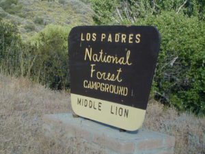
| Middle Lion Campground | 3150′ | 8 | oaks | vault | creek | Rose Valley |
| Pine Mountain Camps | 6650′ | 6 | pines | vault | no | May-Nov |
| Reyes Peak Camp | 7000′ | 6 | pines | vault | no | May-Nov |
| Rose Valley Campground | 3450′ | 9 | scrub | vault | creek | Rose Valley Falls |
| Wheeler Gorge Campground | 2000′ | 73 | oaks | pit | piped | Matilija Creek |
see also –
The main road parallels the big wash. Quatal Road #9N09 is graded (annually) and usually passenger car accessible; side routes to camps in the big wash or up any canyons may require high clearance or 4WD vehicle. No services in this canyon at all; Cell service is minmal. Gasoline is somewhere along the hwy (near a pistachio orchard).
Wilderness Areas along Hwy 33 –![]()
map of the Los Padres region –
Los Padres mountain towns –

Rose Valley Falls has a small campground at the trailhead
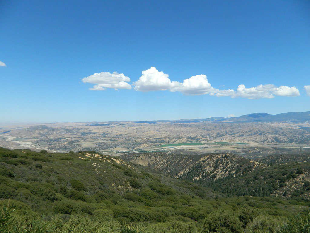
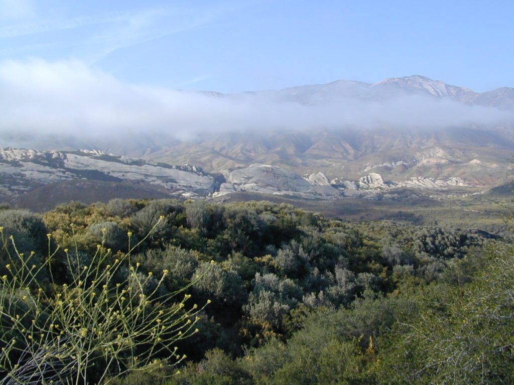
 North of Ojai, Highway 33 meets Highway 166: Ozena, Ventucopa, & New Cuyama make up the 3 small communities inside the Cuyama River Valley, located in south of the San Joaquin (California’s Central) Valley.
On the outter edge of Santa Barbara County, where Kern, San Luis Obispo & Ventura counties all meet, you can find great solitude, a large red dirt, high desert wash & plenty rural trails. Off-roading, backcountry camping, hiking, mountain biking all over this region.
Ozena Ranger Station sits at the south end of Cuyama, at the intersection of Lockwood Valley Rd & Hwy 33. Ozena Campground with 10 spots @ 3660′ elevation, is to the east off Lockwood.
Nettle Springs Campground (8 spots @ 4400′ elevation) can be accessed via Apache Canyon, a 10 mile long dirt road# 8N06, off Hwy 33
2 smaller campgrounds – Tinta and Ranch Nuevo are on the west side of Hwy 33 & may require a high clearance vehicle to reach. Trails out of these campgrounds lead to the Dick Smith Wilderness.
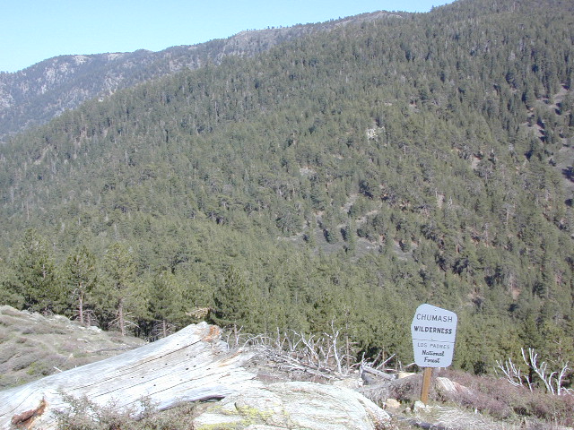
Chumash Wilderness is just east of Ventucopa, as Los Padres National Forest surround this agricultural valley. Quatal Canyon and Quatal Wash reach from the upper elevations of pinyon pines near Mount Able to Cuyama river bed below, as Cerro Noroeste Road skirts the northern rim of the impressive red rock canyon. Toad Spring Campground is at the top. Apache Saddle and Pine Mountain Club are just east of Quatal Cyn.
Cuyama riverbed follows Highway 33 and then turns west, following Highway 166, past the ranch lands, the volcano hills and notorious Rock Front Ranch.
All the pavement around Cuyama is very popular amongst motorcyclists. Scenic touring kinda roads. A very nice 100 mile loop trip is from Pine Mountain Club – W on Mil Potrero Hwy, W on Cerro Noroeste Rd, W on Hwy 166, S on Hwy 33, East on Lockwood Valley Road – back to Frazier Park & I-5 Lebec.
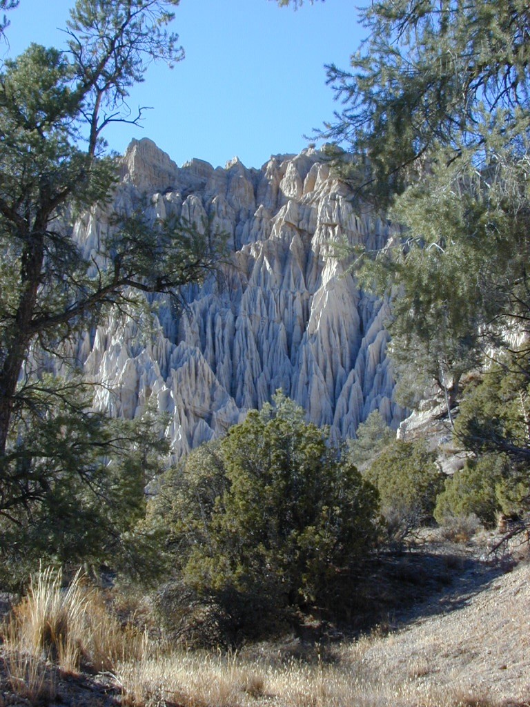
Mahutasan, the indian sweat lodge and the extremely rustic Sage Brush Annies Restaurant w/ winery are the highlights of this rural agriculture valley called Ventucopa CA. Cuyama Peak and fire lookout tower overlooks the whole Cuayama Valley & can be accessed via Santa Barbara Canyon Rd. 4×4 may be required in certain spots. This lovely oak and manzanita lined canyon was scorched by the Zaca Wildfire in mid 2007.
helpful maps of the region –
towns in the valley –
towns close by –

38,150 acres
Mount Pinos – 8831′ elevation
Cerro Noroeste – 8286′ elevation
Los Padres National Forest
Terrain consists of high mountain peaks, badlands of Quatal Canyon Wash & Lockwood Valley; Steep slopes of forests, rock outcroppings, sparse forest areas, on border of Kern County & Ventura County. This area is sacred to the native California Chumash tribe.
 Mount Pinos, Mount Abel, Cerro Noroeste, Westside Park, Hudson Ranch Road, Mil Potrero Highway, Lockwood Valley Road, East Dry Canyon, Apache Canyon, Cuyama River
campgrounds nearby –
The Peak to Peak Hike is a 7 mile, high elevation, ridge line day hike that traversed 2 of the tallest peaks in Kern County – Mt Pinos (elevation 8831′) and Mt Abel (8286′). Day hikes, equestrian trails, backpacking, mountain biking areas nearby. Steep, granite, chaparral, lightly forested w/ ponderosa and Jeffrey pines. From this ridge trail you have a 360 degree view over the entire region. The cabin community of Pine Mountain Club is to the north side (and IF the skies are really clear, you can see the Sierra Nevada mountain range too); Lockwood Valley & Ozena Valley are located to the south; Cuyama Valley to the west and the Tejon Pass w/ Frazier Park to the east.
Off road use 4×4, dirt bikes, ATVs, and quads are common in Quatal Canyon, Apache Canyon, East Dry Canyon leading up to the wilderness edge. Rangers will ticket if they find you on the Chumash side of Quatal wash. The secluded yet inviting, wide, white sandy washes are just too tempting for some bad boys.
Chumash trailheads are located –
nearby towns –
View Chumash Wilderness Area in a larger map

Sespe Wilderness is located in the mountains W of Interstate 5, North of Los Angeles. The chaparral region lies in between Lockwood Valley and the Santa Clara River Valley (Hwy 126). Higher elevation Mount Pinos lies to north side of Sespe and Ojai Valley to the south. The infamous 4×4 Miller Jeep Trail is located on the north side near Alamo Mountain, which is also accessible via Hungry Valley.
The 2006 Day Fire burnt a good portion of the Sespe Wilderness, so you can expect to see some black and toasted areas. Sespe Creek is also referred to as Sespe River. and certain waterways may dry up during drier months. Piru Creek, Alder Creek, Aqua Blanca Creek, Tarr Creek, Mutau Creek, Snowy Creek are several worthy of note. Expect heat and high temperature in the summer & fall month, and possible campfire restrictions during extreme wildfire season.
219,700 acres
6 areas of hiking trails
Los Padres National Forest
Lockwood Ranger Station
661-245-3731

Sespe hiking trailheads located at –
Highway 126 – Fillmore, CA
Sespe Condor Sanctuary – Dough Flat Trailhead
Highway 150 – Ojai, CA
Sisar Canyon Day Hike / Road #4N15
Highway 33 – Ojai, CA
Rose Valley Road #6N31, Rose Valley Falls, Day Hike
Piedras Blanca Trailhead for the National Recreation Trail
Pine Mountain Rd # – Reyes Peak Trailhead
Lockwood Valley Road – Frazier Park, CA
Reyes Creek, Camp Shiedeck – Pine Mountain Trailhead
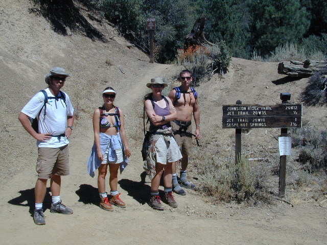
Half Moon Mutau Flat Trailhead, Sespe Hot Springs
Interstate 5 Tejon Pass @ Hungry Valley
Hard Luck Trailhead
Los Padres Campgrounds near Sespe Wilderness
nearby parks & lakes –
nearby towns –
