Road #6S17 – Inyo National Forest
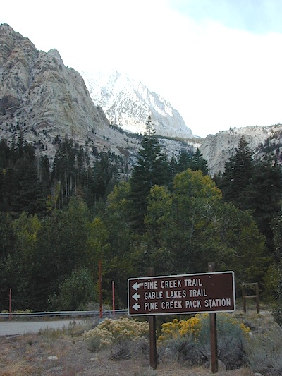
Pine Creek Road
Pine Creek Canyon Road
Pine Canyon Road
Inyo Forest Rd #6S17
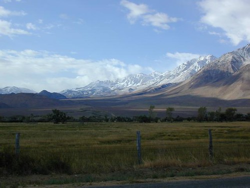
North of Bishop, CA
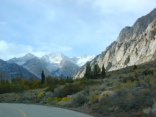
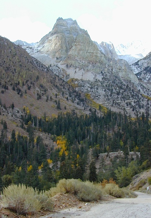
Paved route that dead ends at a huge, old tungsten mill. Impressive peaks and slopes, steep granite; spires and beehive shaped mountains. This region has a very ALPS FEELING, with an “Italy Pass” high above on the wilderness ridge lines.
Pine Creek Road has minimal camping and maybe a half day worth of sightseeing (at most). A few creekside camp spots, only rock dirt road access. Campfire permits required. No facilities. No developed campgrounds. Hiking trails, wilderness access and a horse pack outfitter.
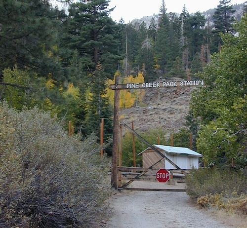
PINE CREEK PACK STATION
85 Pine Creek Road
Bishop, CA 93514
760-387-2797
NO developed NFS Campground exist up here, so don’t think about bringing that motorhome up this steep incline.

- backpacking
- day hiking
- dispersed camping (minimal)
- fly fishing
- hiking trails
- horse packing outfit
- horse camping
- rock climbing
- wilderness access (highcountry)
- horse trailer parking
- trailhead parking
John Muir Wilderness
Pine Creek Pass
Italy Pass
Autumn colors and aspen groves can be found annually in October, before the first snow of the season.
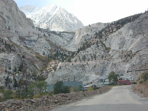
Historic Tungsten Mine near Bishop, CA
No public access.
1940s Pine Creek Mine was the largest source of tungsten in the US

Ranger Dave’s Blog about Pine Creek
windyscotty.wordpress.com/2009/10/31/pine-creek-canyon-2/


Mount Tom (elev 13,652′)
Gable Lakes
Pine Lake (9942′)
Bear Creek Spire (13,713′)
Spire Lake
Scheelite Canyon
Lower Morgan Lake (10,708′)
Round Valley Peak (11,943′)
Round Valley
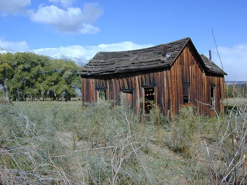
Rovana, CA
maps of this region:
John Muir Trail Maps
Inyo National Forest Map USDA
Inyo National Forest Atlas
Benchmark Map US 395
Bishop Pass Trail Map

Mono Divide Highcountry Map
Mammoth Lakes Map NatGeo
Mammoth Highcountry Map