Tag Archives: hills

Los Coyotes

los coyotes SD

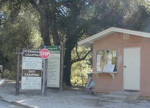
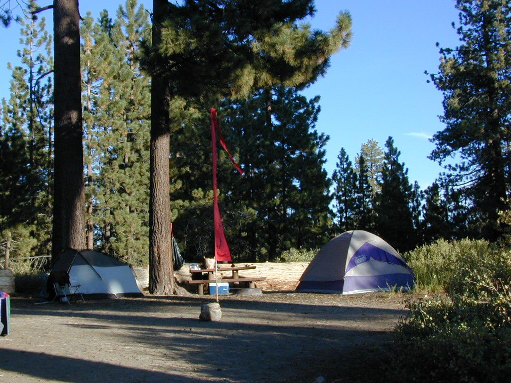
Los Coyotes Camping
Los Coyotes Reservation Campground

North County San Diego
Camping SD

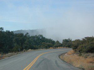
Way out there, on your way to the Borrego desert, past Warner Springs somewhere is this little gem of a location. Near the southern slopes of Palomar Mountain, on the edge of Cleveland National Forest.

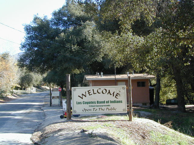
Los Coyotes Band of Indians Tribal Campground

open to the public

Great rural location, in-route to many destinations in Southern Cal. Temecula wine country, Warner Springs, Culp Valley, Anza Borrego Desert State Park, Borrego Springs.

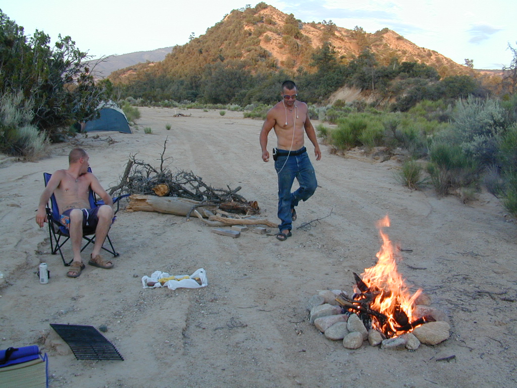
Campground is a popular spot with locals, so note that some weekends can get rowdy. Ask about a more secluded camp site option if needed. There is plenty of primitive land out here.

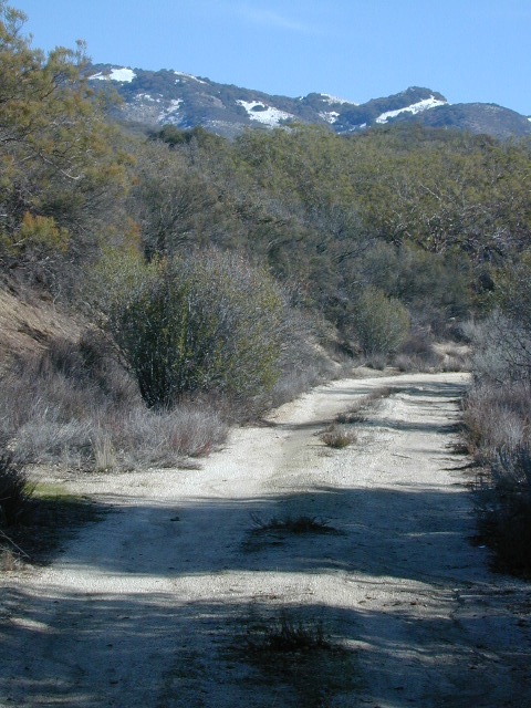
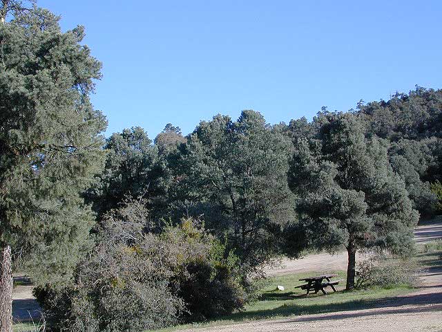
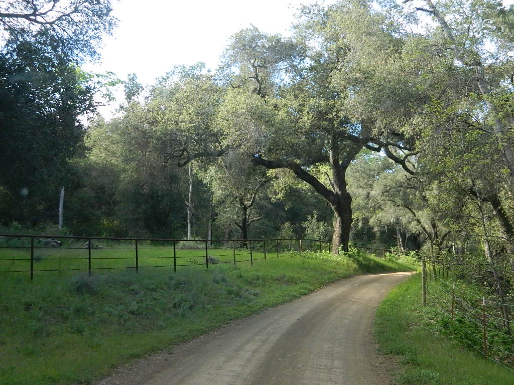
Oak trees and boulder hills, dirt roads, near Hot Springs Mountain. North San Diego County.

Los Coyotes Band of Cahuilla & Cupeño Indians

Warner Springs, CA 92086
RECREATIONAL# 760-782-0712
ADMIN# 760-782-0711

payherebooth

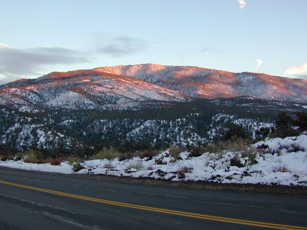
snowx
Hot Springs Mountain SD

6S17 – Inyo NF

pinecreekcanyon

Road #6S17 – Inyo National Forest
Pine Creek Road

Pine Creek Canyon Road
Pine Canyon Road

Inyo Forest Rd #6S17
North of Bishop, CA

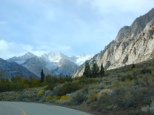
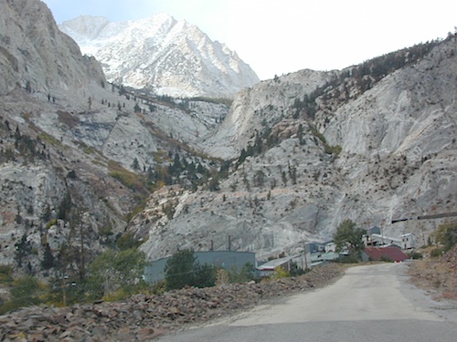
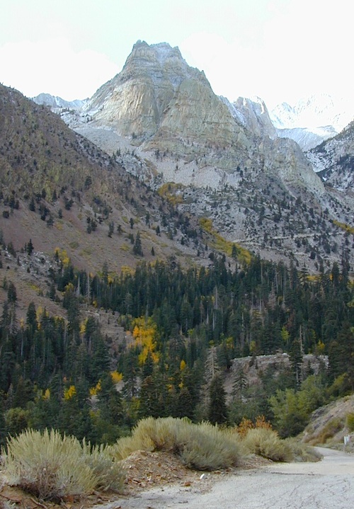
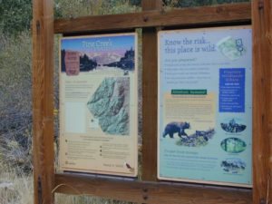
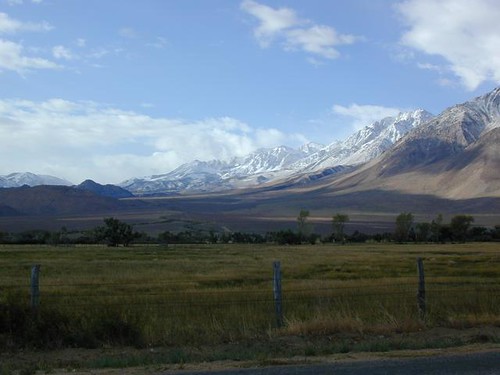
Paved route that dead ends at a huge, old tungsten mill. Impressive peaks and slopes, steep granite; spires and beehive shaped mountains. This region has a very ALPS FEELING, with an “Italy Pass” high above on the wilderness ridge lines.

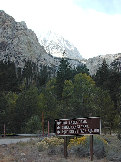
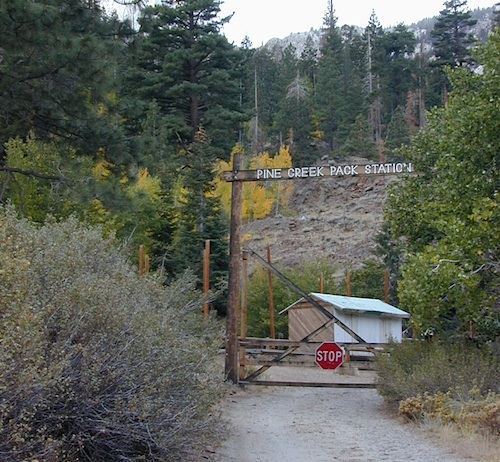
Pine Creek Road has minimal camping and maybe a half day worth of sightseeing (at most). A few creekside camp spots, only rock dirt road access. Campfire permits required. No facilities. No developed campgrounds. Hiking trails, wilderness access and a horse pack outfitter.

PINE CREEK PACK STATION
85 Pine Creek Road
Bishop, CA 93514
760-387-2797

pinecreektrail

NO developed NFS Campground exist up here, so don’t think about bringing that motorhome up this steep incline.

horseback

  • backpacking
  • day hiking
  • dispersed camping (minimal)
  • fly fishing
  • hiking trails
  • horse packing outfit
  • horse camping
  • rock climbing
  • wilderness access (highcountry)
  • horse trailer parking
  • trailhead parking

John Muir Wilderness
Pine Creek Pass
Italy Pass

pine creek pack station
Autumn colors and aspen groves can be found annually in October, before the first snow of the season.

tungstenmine

Historic Tungsten Mine near Bishop, CA
No public access.

1940s Pine Creek Mine was the largest source of tungsten in the US

mountains

Ranger Dave’s Blog about Pine Creek
windyscotty.wordpress.com/2009/10/31/pine-creek-canyon-2/

Impressive Canyons

hiker

Mount Tom (elev 13,652′)
Gable Lakes
Pine Lake (9942′)
Bear Creek Spire (13,713′)
Spire Lake
Scheelite Canyon
Lower Morgan Lake (10,708′)
Round Valley Peak (11,943′)
Round Valley
Rovana, CA

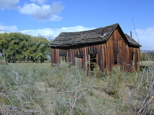
Rovana Shack

tungstenhills

maps of this region:

John Muir Trail Maps
Inyo National Forest Map USDA
Inyo National Forest Atlas


Benchmark Map US 395
Bishop Pass Trail Map

Mono Divide Highcountry Map
Mammoth Lakes Map NatGeo
Mammoth Highcountry Map

pinecreekTH
CLICK TO ENLARGE

Slopes of Sierra Nevada

Valle Vista Campground

Valle Vista camp

Los Padres National Forest; Valle Vista Campground

The place is gorgeous with wildflowers, after a good wet winter. Snow is possible at this location.

Way out on the edges of Cerro Noroeste, facing north. This paved route was recently renamed Hudson Ranch Rd. Access is at a wide spot / shoulder, on a curve. A steep drop on a dirt driveway. Large RVs and motorhomes should attempt this rutted, dirt hill only after walking it

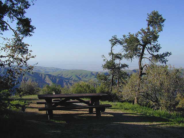
This wide-open space site is a small campground, in Los Padres National Forest –  with amazing views over the California Central Valley. Oak trees and pinyon pines. Windy days, Winter or Springtime is your best bet for a non-smoggy day.  The Sierra Nevada mountains range can be seen across the valley, 100+ miles away. On rare days, snow capped Mount Whitney can be seen from this location. New bathroom vault toilet built 2011.

  • dirt bike trails

  • earthquake fault

  • hiking

  • camping

  • dogs off leash

  • motorcycle road

  • night skies

  • sky views

  • stargazing

  • views

  • wildflowers

NFSlogo


slope
Best views on windy days. Fog and smog are common at this location.

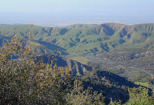
Springtime Green Hills
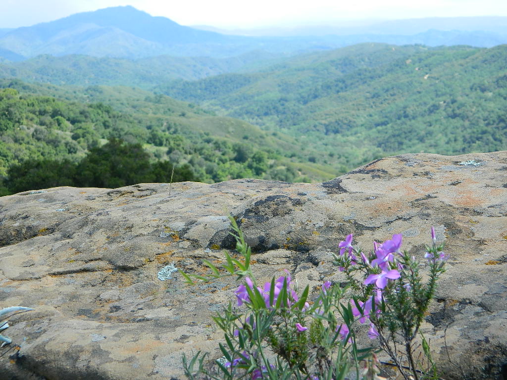
Springtime Green Hills, looking north to the Central Valley

wildflower

nearby towns:

Mount Able
Mount Able (Cerro Noroeste)

Frazier Park Camping

Mount Pinos Camping & Frazier Park Campgrounds

Drum Circle Camp
Mount Pinos Fire Circle Camp Spot
camp5
Gold Hill Campground (which is now closed) – right next to Piru Creek.

camp

Frazier Park and neighboring towns, like freeway-close Lebec and Gorman, is where the Los Angeles hills meet the Kern County mountains. Mojave Desert meets to Coastal Range. EXIT I-5 @ Tejon Pass (elev 4144′)

Wildflower hills, seasonal creeks, forested peaks, high desert canyons. Bike trails, hike trails, off road routes. High elevation backpacking, hang gliding, mountain biking and camping in every direction.

MTB SOCAL
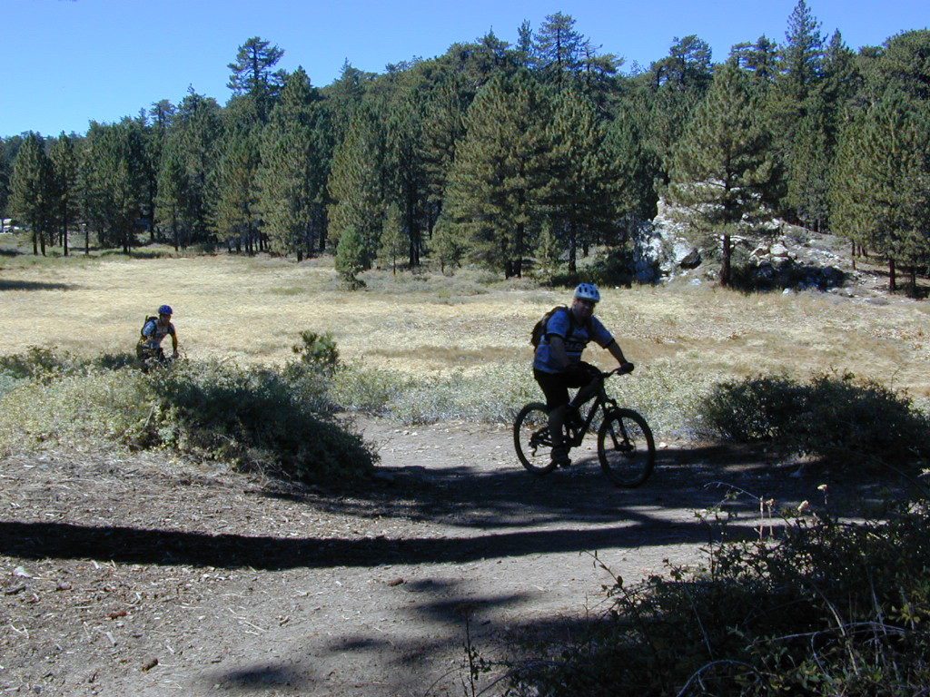
Mountain Bikers love the trails at Mount Pinos.

High desert washes, oak creeks, pinyon pine forests, mountain meadows and numerous peaks – Frazier Peak, Reyes Peak, Alamo Mountain, Mount Pinos, Mount Abel (Cerro Noroeste) and north facing San Emigdio ridge.

Mt. Pinos District:

campground elev spots veg toilet water notes
Aliso Park, Cuyama 3200′ 11 oak pit no Aliso Cyn Rd. (#10N04)
Ballinger OHV Camp 3000′ 20 pinyon vault no Rd# 9N10, Cuyama Valley
Camp-O Alto 8286′ 12 jefferey pit no ridge, Cerro Noroeste
Caballo Campground 5850′ 5 oaks pit no Rd# 9N27, Cerro Noroeste
Cherry Creek 4×4 5200′ 2 oak no spring 4WD trail, Cuddy Valley
Chuchapate Campground 6000′ 30 pines vault piped Rd# 8N04, closed winter
Chula Vista Walk-In Camp 8300′ 12 pines vault no walk-in camps & RV lot
Cottonwood Campground 4600′ 2 ctnwd no creek 4WD only trail, fish
Dome Springs Camp 4800′ 4 oak pit no Rd# 8N40, Lockwood
Dutchman Camp 6800′ 8 pines no no Rd# 7N01, 4WD trails
Half Moon Campground 4700′ 10 pines pit no Rd #7N03, May-Oct
Kings Campground 4250′ 7 pinyon vault no OHV & Piru Creek
Marian Campground 6600′ 5 pine pit no closed in winter
McGill Campground 7500′ 50+ pine vault seasonal mountain biking
Mount Pinos Campground 7800′ 19 pine vault seasonal closed winter
Nettle Springs Camp 4400′ 9 pinyon vault no Rd# 8N06, Apache Cyn
Ozena Campground 3660′ 12 cottnwd vault no Lockwood Rd
Pine Springs Camp 5800′ 12 pinyon pit no Road #7N03
Pleito Campsite 5000′ 2 mixed no no dirt rd access, dispersed
Rancho Nuevo 3550′ 2 mixed no no river crossing
Reyes Creek 4000′ 30 oaks vault yes creek camping
Reyes Peak Pine Mt 5200′ 6 pines none no ridge camping
Salt Creek 4×4 3000′ 2 mixed no no 4WD only
Sunset Campground 4300′ 2 cottonwd no no Lockwood / Piru Creek
Thorn Meadows 5000′ 5 pine pit no Rd# 7N03C, horse corral
Tinta Campground 3600′ 3 pinyon pit no river crossing
Toad Springs Camp 5700′ 5 pinyon pit no Rd# 9N09, Quatal Cyn
Twin Pines Camp 6600′ 5 pine vault no Dry weather only
Valle Vista Camp 4800′ 7 mixed pit no condors, new toilet

See Mount Pinos Recreation Campgrounds only

Group Camping Sites in Los Padres Forest

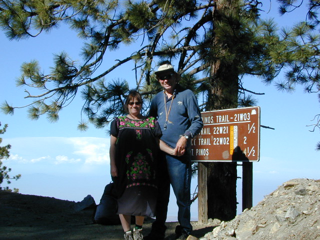
Hiking Pinos Signs
Mount Pinos – Peak to Peak hike.

Maps of Los Padres NF –nettle spring camp

Los Padres mountain towns –

DSCN0043

Toad Springs Campground atop Quatal Canyon. Small camps located in Los Padres NF have no fees, and often no toilets – so bring the shovel.

Many dirt roads are gated seasonally for wet weather or snow. Call rangers to find out which routes are open before you plan your weekend. Or have a plan B and C camp site ready if route is closed. Flashfloods, thunderstorms, and erosion means you may all-of-a-sudden need to use your 4WD. This is the mountains after all. UNpredictable weather is common.

frazier park camping

Primitive Camping in Quatal Wash, next to the OHV Route and the Chumash Wilderness

PeaktoPeak
Peak-to-Peak Hike: the toughest climb you’ll do, this decade.


Cerro Noroeste Road

Fresh Blacktop 2011

Scenic Drive California: Cerro Noroeste

Tejon Pass, Frazier Mountain, Tecuya, San Emigdio, Mount Pinos, Apache Saddle, Mount Abel, Quatal Canyon, BitterCreek, Klipstein Canyon

Los Padres NF – Cerro Noroeste Road #9N05

One of the best driving roads in Central California!

Motorcycles love this route.

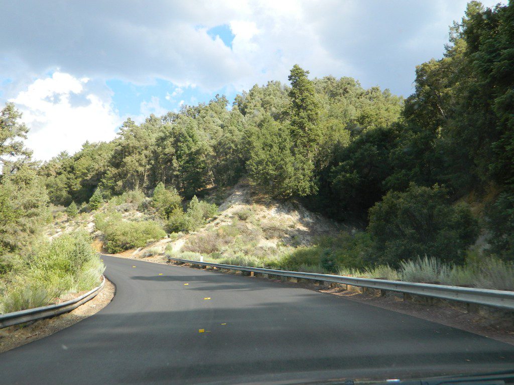
Los Padres National Forest stretches from Ojai to Monterey, mostly along the California Central Coast. If you are traveling on Interstate 5 (atop the Grapevine, Tejon Pass) and you wanted to head westbound,  then you really want to take this scenic route.

Exit Frazier Park Rd @ Lebec, on the top of the Grapevine (Interstate 5 N of jct Hwy 138). Proceed westbound thru the Frazier Park stop sign (5 mi), up the hill past the turn off for Lockwood Valley Road. Frazier Mountain Park Road now becomes Cuddy Valley Rd, continue up to pine trees. Turn right on Mil Potrero Highway & drive thru Pine Mountain Club (4-8 mi). Continuing past the golf course, heading up to Apache Saddle.

Approximately 6000′ at a forested intersection is the ‘saddle’ with ranger station. The paved road is now considered Cerro Noroeste Road.

A left turn will bring you up to Cerro Noroeste 8286′ elevation. (10 mi/closed in winter) This mountain peak is also known as Mount Abel.

At the saddle, continuing straight (veering right) through the P&J forest (pinyon and juniper) to the gorgeous rolling hills, fog & cloudscape countryside of ..

HUDSON RANCH ROAD

WTF? Recently county authorities have renamed Cerro Noroeste Rd to Hudson Ranch Rd, which has many locals infuriated and of course, keeping visitors confused. There is a popular Hudson Ranch up near Napa Wine Country, but this is not named after that location. Rumor has it that one local family complained to Kern County about the difficulty of spelling ‘Cerro Noroeste’ for outsiders. Go figure! Want a local roadway name changed? Easier process than imagined – just file a suggestion w/ Kern County.
HUDSON RANCH ROAD

Bitter Creek Wildlife Area & Highway 166 (23 mi) are all out this way. Sports cars & motorcyclists love this route, so do hikers & hunters. Every weekend you can find hundreds of bikes cruising this scenic byway.
Best Sunset Drives
Numerous forest roads can be found out this way. Quatal Canyon #9N09 is a great side route to explore if you like long dirt roads, red dirt, lupine & pinyon pines. Chumash Wilderness backcountry access is way back in this super scenic canyon. Toad Spring Campground is a small site located near the top of the canyon, only half mile off the pavement.

Forest Road #9N27 leads up to Caballo Campground & even further out to the steep ridge line, Marion Campground & Blue Ridge 4×4 trail. Across from the Apache Saddle Ranger Station, San Emigdio dirt road #9N34 climbs to 7400′ elevation and has a great viewpoint. Unsigned San Emigdio 4×4 trail starts at the viewpoint and heads east.

Way out west on Cerro Noroeste Road is Valle Vista Campground, with new a outhouse. This small campground is perched on the edges of red cliffs overlooking the great Central Valley of California.

Klipstein Canyon, a side route/short cut to Taft, offers decent wildflower displays in springtime. San Andreas faultline uplift is also evident on this detour. Road Closed barriers seem insignificant, as many drivers just skoot around them.
CerroNoroeste

nearby towns:

Pine Mountain Club, CA
Frazier Park, CA
Ventucopa, CA
Taft, CA
New Cuyama, CA
Garcia Wilderness

Garcia Wilderness, Los Padres NF

14,100 acres
Garcia Peak – 3146′ elevation
Los Padres National Forest
Huasna River
Pozo Creek

himtncampgroundcampgrounds nearby –

American Canyon Campground
Hi Mountain Campground
La Panza Campground
Lake Lopez Campground
Navajo Campground

trailheads for Garcia Wilderness

  • Hi Mtn
  • Santa Lucia
  • Garcia OHV

POZO ROAD is also known as

  • Pozo La Panza Rd
  • Hi Mountain Rd
  • Pozo Arroyo Grande Rd

San Luis Obispo’s Los Padres Pozo Rd is a 4×4 route that accesses the Garcia Wilderness; the dirt route connects Lake Lopez to Pozo Saloon, out near Santa Margarita. Los Padres National Forest 

Located inland from the Pismo Coast in south San Luis Obispo county.
Garcia Peak OHV Route, off Pozo Road behind Lake Lopez, Arroyo Grande, CA

  • backpackingLupine on Pozo Rd
  • camping
  • hiking
  • mountain biking
  • off roading
  • waterfalls
  • wildflowers

Steep lush coastal mountains, rugged, remote landscapes close to Central Coast San Luis Obispo.

Garcia Ridge Road #30S18

Garcia Ridge Trail #15E11

Hi Mountain Road #30S11


DSCN5297

also nearby – Machesna Mountains Wilderness and Santa Lucia Wilderness