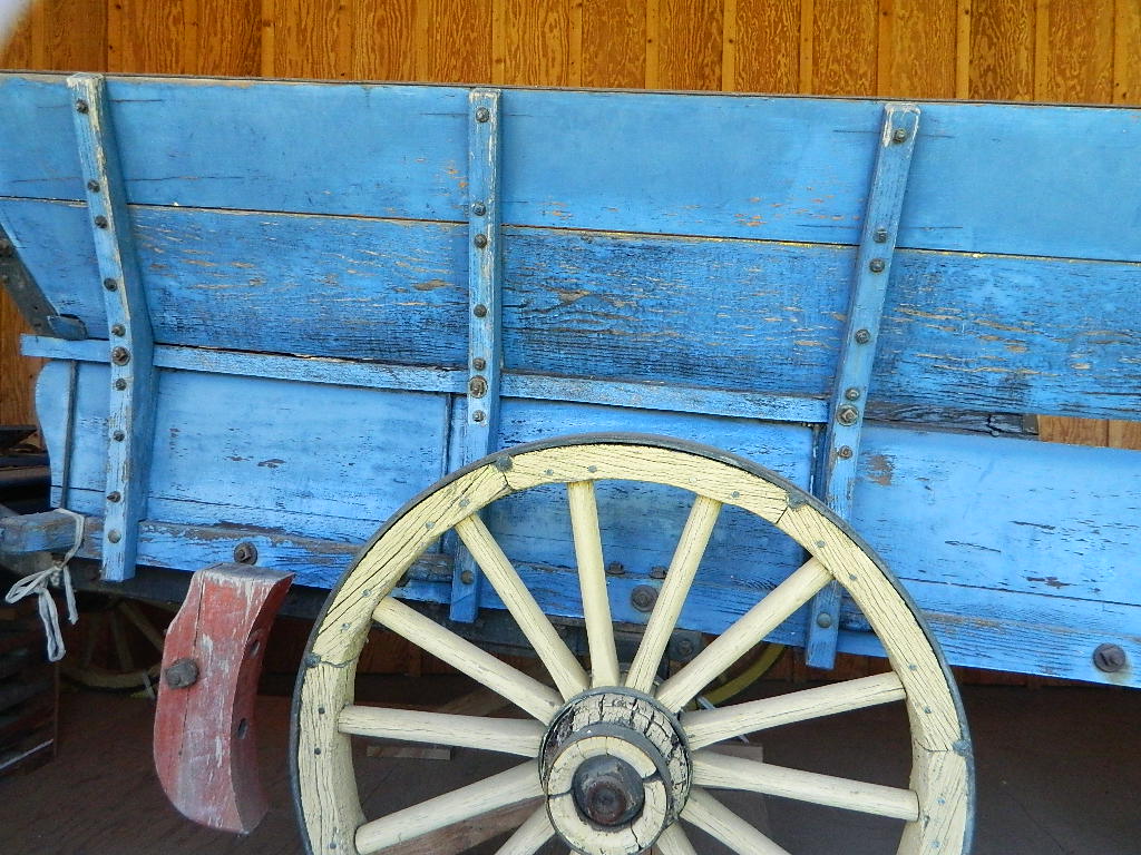
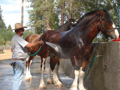
In 1954, the Oakdale Saddle Club held its first professional rodeo, keeping the name the Oakdale Clover Round-Up. By, 1957 the name of the rodeo officially changed to the Oakdale Rodeo.
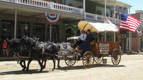
Barrel Racing, Rodeo Dance, Oakdale Rodeo Parade on Saturday morning. The parade features, a grand marshal, horses, local businesses, bands, classic cars.
Oakdale Saddle Club Rodeo Grounds 1624 East F Street Oakdale, CA 95361 209-847-4083
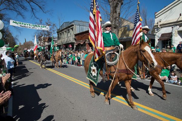
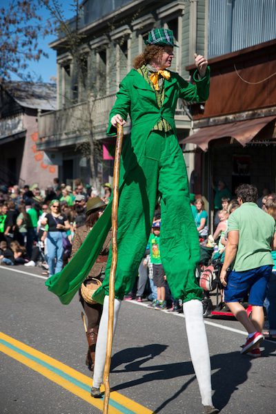
One of the premier annual events, where thousands of people gather in the historic gold rush town of Murphys Camp to honor its Celtic heritage – and to celebrate as only the Irish can.
Parade, live music, jugglers, antique cars, horses, bagpipes, with village shops and restaurants all open. The picturesque Main Street is filled with booths offering handcrafted items, original art, photographs, tasty food, wine, and beverages.
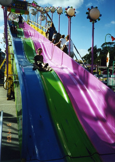
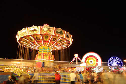
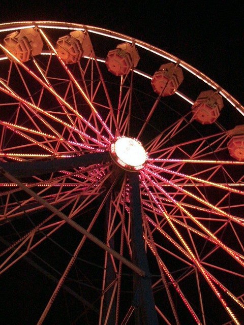
For over 165 years, the California State Fair has showcased the progress and advancements of agricultural industry. 17-day event with carnival rides & games, numerous exhibits, livestock, plus local wines, cheeses, craft beers, cannabis, olive oils, and fine arts.
1600 Exposition Blvd
Sacramento, CA 95815-5199
916-263-3000
In 1854 the first California State Fair was held in San Francisco.
Travel was a hardship for many in those days so organizers arranged for the Fair to move locations each year. Sacramento, San Jose, Stockton, and Marysville hosted the Fair for the subsequent four years. Pioneer residents quickly recognized tremendous riches in the fertile soil and so California’s number one industry, agriculture, was born. The Fair was the yearly source of entertainment and education for early settlers, drawing huge crowds of as many as 15,000 on a single day.
When the Fair returned to Sacramento in 1859, a decision was made to find a permanent home. Sacramento was a bustling city with more than 2,500 buildings and a newly installed water system using two and a half miles of pipe. Six square blocks between E and H Streets from 20th to 22nd Streets were bought with monies raised through a special election and contributions from local citizens. This site was called Capitol Park. One aspect of those early Fairs that deserves special mention is the significance of the horse.
Tulare is located in the California Central Valley (the “bread basket”) – so summers can still be quite warm, or should we say HOT, even in September.
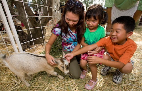
Big county fair for this farming region. Agriculture shows, auctions, destruction derby, exhibits, competitions, 4H livestock, parade, rodeo, tractor pull and much more. Don’t miss the delicious Dutch Oven Peach Cobbler Cook-Off and the Tri-Tip Cook-Off. Carnival rides and carnival games too.
Annual event; September
Tulare County Fair Assoc.
620 South K St.
Tulare, CA 93274
559-686-4707
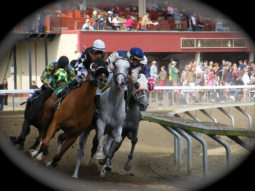
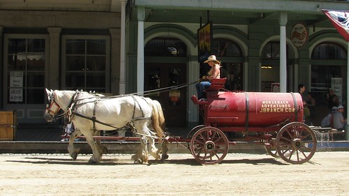
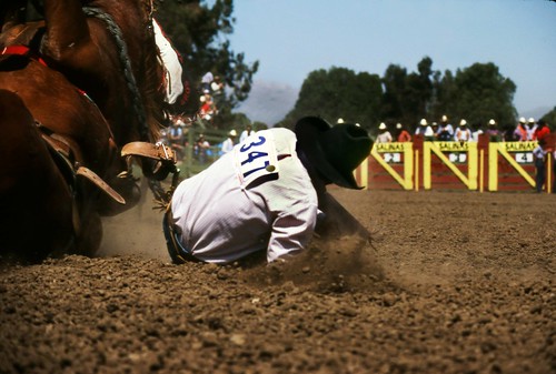
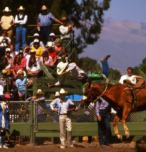
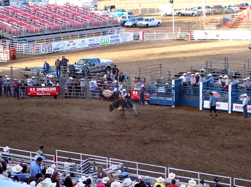
Salinas is home to the annual California Rodeo. Over 100 years on this event, a very popular family attraction in these parts. One of the top 20 professional rodeos in the United States and the largest rodeo show in California. Parade, concerts, horse show, motocross, carnival rides, games, food.
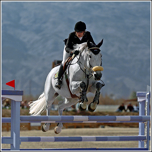
6 week event – Known as the largest hunter/jumper event in the West, riders and horses from all over to compete at this event. Attracts over 2000 horses annually.
Also known as – Thermal Desert Circuit
Annual event: January – March
DESERT INTERNATIONAL HORSE PARK
85-555 Airport Boulevard
Thermal, California 92274
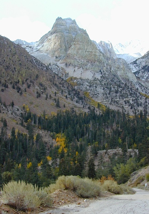
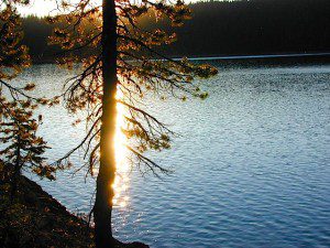
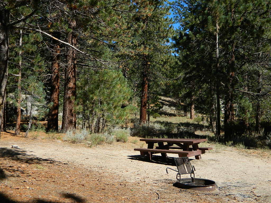
GIANT SEQUOIA: in between Sequoia & Kings Canyon, inside Sequoia NF
This chunk of National Forest land is perfectly located in between 2 very popular National Parks – Kings Canyon and Sequoia. This primary paved road leads to some great camping, a perfect option for NOT camping inside the crowed National Parks.
Turn east off of Sequoia ‘Generals Highway’ 198, on to the well signed Big Meadow Rd. There is primitive camping all over this area & a few developed campgrounds along this route. Motorhomes be warned: the road narrows to one lane with no “turn outs” or U turn spots for the last 10 miles (on a steep cliff w/ large overhanging rocks)
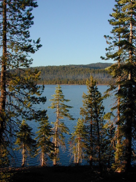
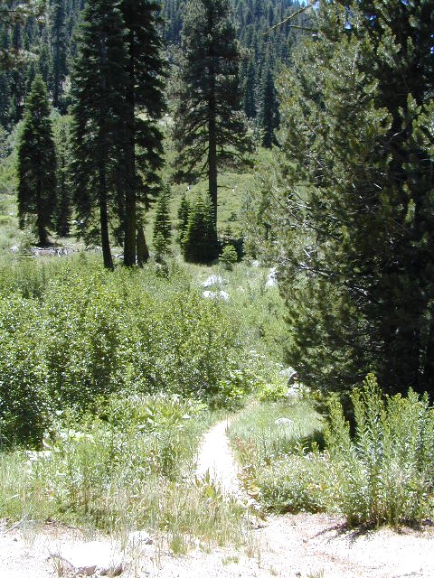
In the first few miles, the dispersed camp sites on the right side have great views & some situated on fairly flat granite slabs, perfect for astronomer campers or adventurous RVs. To the left side of the road is more primitive style campsites in wooded areas. The whole area is also a very popular cross country ski & snowmobiling spot for winter recreation. Hunters also like these camps during hunting season (in September).
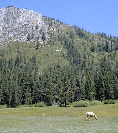
There is a developed Horse Camp on the left side of the road for equestrian campers. This camp is located across from the biggest meadow and may be the first place you notice on this drive.
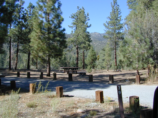
Buck Rock Campground (7600′ elevation, 5 spots) & Big Meadows Campground (7600′ elevation, 25 spots) are both family style camps, perfect for those who want picnic tables, plus bathroom nearby. Sorry no flush toilets out here, only pit toilets.
Buck Rock Fire Lookout Tower @ 8500′ elevation – is located to the north on Forest Rd # 14S02. It’s a great spot for some impressive views – if you aren’t afraid of heights. To reach the tower you must climb several flights of steel steps. This place is worth a stop if planning a sightseeing day.
Big Meadows Guard Station @ 7500′ elevation (also known as Big Meadows Cabin), is located next to the BIG MEADOW and is available for rent on a weekend basis from the NFS. Hiking Jennie Lakes Wilderness and fly fishing Big Meadows Creek are favorite activities to be enjoyed.
Big Meadows Road is long & narrow – 12+ miles. RVs are not recommended beyond the Big Meadow Campground, as the road is one lane in some spots & it skirts a cliff edge. The views are incredible the farther you go & many creeks feed the region.
The narrow, long paved road eventually forks off into several smaller dirt roads back near Horse Corral Meadow. Way back here, the dirt roads lead out to trail heads for backpacking, horse packing or day hiking in Jennie Lakes & Monarch Wilderness. Backcountry access to either Sequoia or Kings Canyon National Park! Have a good map if you plan to venture out this far. Pay attention & don’t get lost.
GPS would be helpful in this area. Some of the smaller of the dirt roads are not even on the NFS maps. Make sure to GPS way-point your favorite camp site, so you can find in next time…. in the dark.
Northern California Coast near the Humboldt Redwoods, this county fair has to be one of the oldest in the golden state – over 100 years running! The scenic Victorian Village of Ferndale hosts the annual Humboldt County Fair every August. Carnival rides, games, music, food, livestock & horse races too.
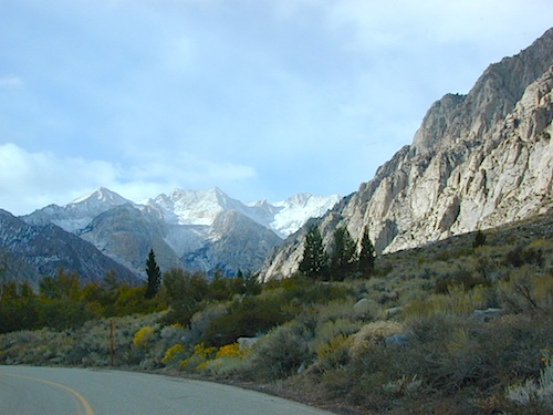
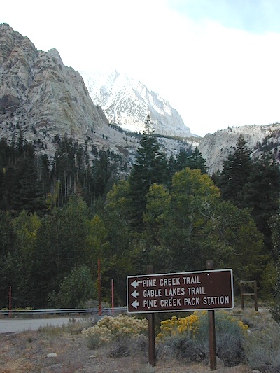
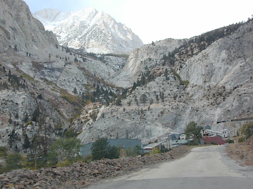
Paved route that dead ends at a huge, old tungsten mill. Impressive peaks and slopes, steep granite; spires and beehive shaped mountains. This region has a very ALPS FEELING, with an “Italy Pass” high above on the wilderness ridge lines.
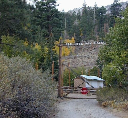
Pine Creek Road has minimal camping and maybe a half day worth of sightseeing (at most). A few creekside camp spots, only rock dirt road access. Campfire permits required. No facilities. No developed campgrounds. Hiking trails, wilderness access and a horse pack outfitter.
PINE CREEK PACK STATION
85 Pine Creek Road
Bishop, CA 93514
760-387-2797
NO developed NFS Campground exist up here, so don’t think about bringing that motorhome up this steep incline.
Mount Tom (elev 13,652′)
Gable Lakes
Pine Lake (9942′)
Bear Creek Spire (13,713′)
Spire Lake
Scheelite Canyon
Lower Morgan Lake (10,708′)
Round Valley Peak (11,943′) Round Valley
Rovana, CA
San Bernardino National Forest: Heart Bar Campground
At Hwy 38 & Forest Road #1N02 is a huge, pine forested valley, right next to San Gorgonio Wilderness. Heartbar Campground, Heart Bar Horse Camps, RV Dispersed Sites. Highway 38 – SE of Big Bear Lake, California; Mountain Bike, Hiking & Equestrian Trails with ridges of 10,000′ elevation. SAN GORGONIO peak nearby. Best high elevation scenery for SoCal by far.
backpacking
camping
fishing
hiking
mountain biking
mountain peaks
waterfalls
Primitive Camps on the Back Road #1N02
Heart Bar Campground
Big Bear Forest – HEART BAR
This gorgeous valley is a developed recreation area w/ 89 camp sites, plus big equestrian area. Picnic, hiking, mountain biking, horseback trails, plenty RV spots, even a creek. (Oooops I meant the Santa Ana River) Highway 38 is kinda the long way into Big Bear Lake, up thru Angelus Oaks. Locals call this stretch of the highway Barton Flats.
Bring the Horses & RVs
Group Campground facilities
Barton Flats – San Gorgonio Recreation Area
Leading out the back way of HeartBar, past the horse camp – is a nice one lane dirt road, narrow in spots, with random, primitive camp sites along the roadway. Authorities refer to these spots as yellow post camp sites.
This backcountry route is marked as Forest Service Rd #1N02 – graded dirt road that leads back to Coon Creek Cabin.
Forest Falls is well worth a stop for a quick picnic or hike – and head dunk. Weekends can be busy and crowded. Since this location is close to Southern California and the population centers, expect weekends to be busy in the Big Bear mountains. Plan a trip for week days to experience less people, and more nature.
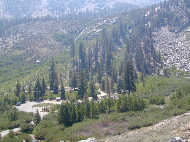
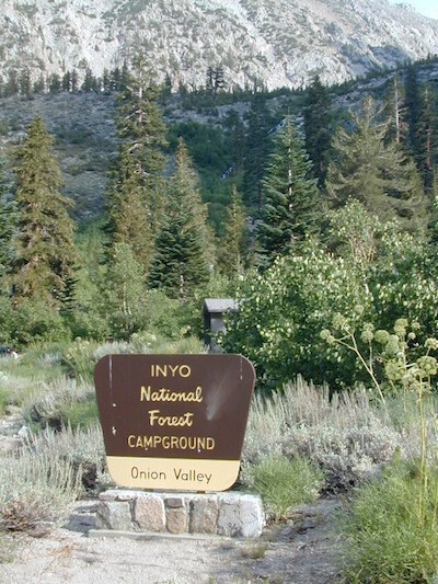
High elevation NFS campground, located in a huge granite valley w/ waterfalls, wildflowers and aspen groves. The setting is breathtaking and the high altitude valley is nothing less than grand.
The views (east to the Owens valley) are from the paved road up, or from the hiking trails leading up outta camp. Gotta hike up (on foot) to see the views! Any visitor that does not hike, will be missing out on the best features of this destination. Plan to spend more than one day at Onion Valley.
ONLY OPEN for summer months! This small, developed campground closes annually. Big winters and deep snow is the norm w/ elevation this high.
The paved road is long and very winding; sheer cliffs, steep drop offs, hairpin curves, minimal guard rails. RV motorhomes are not allowed on this route, due to the steepness of the terrain and the narrow roadway.
Campground Santa Barbara – Lake Cachuma
Los Padres / Santa Barbara District:
campground
elev
spots
veg
toilet
water
notes
Cachuma Campground
2100′
8
mixed
vault
creek
year round creek
Fremont Campground
1000′
14
oaks
flush
piped
March-Sept
Lower Caliente Camp
1800′
2
oaks
vault
no
hot springs
Middle Santa Ynez
1500′
9
trees
vault
creek
shady
Mono Campground
1400′
4
trees
vault
creek
shady, 3 walk-in
Paradise Campground
1000′
13
oaks
flush
piped
reservations
P-Bar Campground
1500′
4
–
vault
creek
water can close
Upper Oso Campground
1200′
23
oaks
flush
piped
corrals, OHV traffic
Some of these camps above may have been damaged in recent wildfires, so it’s best to inquire before you make the drive. Call rangers to verify or have a backup alternative (plan B). See more campsites @ Santa Barbara Beach Camping
Los Padres Forest Headquarters Goleta CA
805/968-6640
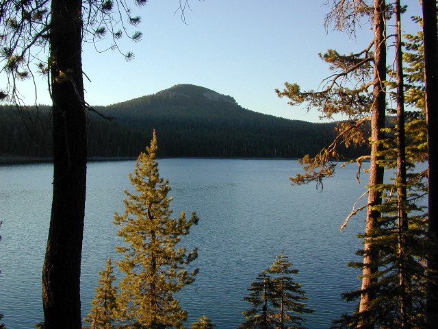
Little Grass Valley Recreation Area
Plumas National Forest
Tucked way up in the Northern Sierra Nevada mountains, at the top edge of the California Gold Country, is this popular recreational lake in the forest above the busy Sacramento Valley.
Up on the mountain at 5000 feet above sea level, via La Porte Road (Plumas #120), a Sierra Nevada THRU-ROAD – one which closes for winter snow. The lake destination may be open, but the campgrounds are closed up seasonally. (NOV-APRIL)
Little Grass Valley Reservoir
Lake Statistics:
Elevation 5,100′ Surface Area 1,433 acres Shoreline 16 miles Capacity 93,101 acre-feet
With over 300+ camp sites available in 10 different campgrounds, Little Grass Valley has room for everyone. Reservations are recommended in summer months, although some camps are on a first-come basis.
Camper Trailers up to 40 feet can be accommodated in some of the camping units. 2 RV dump stations are available, near Tooms Boat Launch & Red Feather. Campgrounds have piped water, but no RV hookups.
Swim beaches provide excellent swimming and picnicking opportunities. The Lakeshore Trail (13 miles) winds around the entire lake, for hiking, horseback riding, and mountain biking.
Horse Camp
Little Beaver Campground
Red Feather Campground
Sly Creek Campground
Strawberry Campground
Wyandotte Campground
LaPorte, California – up the mountain
TRAVEL NOTE: The nearest town isn’t much of a “town” at all – so driving to get “anywhere w/ tourist services” from here is quite a chore. Gasoline is minimal on this mountain, if any. Plan to bring everything you will need for your outdoor vacation stay, cuz driving to Quincy, or down the hill to O-ville will take more than an hour (one way). Go prepared.
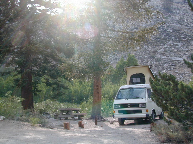
Forest Road #7N83 – Clark Fork Rd
Paved spur road, off Highway 108, Sonora Pass
Stanislaus National Forest
Clark Creek, flows west to Middle Fork Stanislaus River
Horse camping, Campground Camping, close to trailheads
NFS Campgrounds on this road:
Clark Fork Campground
Clark Horse Campground
Sand Flat Campground
Clark Canyon is a popular horse camping area in Stanislaus, located in between 9000′ – 10,000′ elevation peaks. This Sierra Nevada area is known for volcanic features and nice meadows. A small set of (hidden) cabins and pay phone along highway will be the best landmark for identifying the Clark turn off.
Hiking trailheads on this road:
Iceberg Meadow Trailhead
Carson Iceberg Wilderness Area
Forest Road #6N06, a dirt road to higher elevations and primitive camps, is also close by. Traversing up above the Fence Creek Campground (NFS).
Salmon Creek, Kern Plateau –
Sequoia National Forest
Looking to stay away from the masses camping at the Kern River?
Horse Meadow Campground can be found on the east side of the Kern River, up on the Kern Plateau. Up the infamous, steep and rugged Shermans Pass Road. How exciting!
Climb the hill slowly and cautiously, no guardrails. Up the grade, Shermans eastbound – out of the dryness of the Kern canyon. Find Cherry Hill Road, that is also the Big Meadow turn off: Forest Road# 22S12, a long, narrow dirt road leads from paved Shermans Pass Road, 10 miles out to this ideal campground. Far enough off the main road, so you won’t see much of a crowd out here.
Hunters, horse campers and hikers really like this spot. Mountain bikers are known to frequent the region as well. Forest, meadows, trails, creeks, nature, all around. Dome Land Wilderness is close by; Waterfalls hikes, swimming holes, viewpoints. Fishing, hunting, horseback trails. Dirt roads and single track trails all over – all within the vicinity of Big Meadow.
From the main Rd #22S12, the camp access road #23S08 will lead out to the NFS Campground – HORSE MEADOW. Located at higher elevation forests – 3000′ feet higher than the Kern River!
Nice forested, high country camp spots in a developed campground. The long, access road is worth it for all the scenery and seclusion. Vault toilets, piped water, maybe a small fee. Open summer into autumn, closes for winter months.
Horse Meadow Campground
• Elevation: 7600′
• Number of Sites: 41
• Vehicle Access: RV 23′ max
• Campsites Reservation: No
• Camp Fee: Yes
• Length of Stay: 14 Days
• Season: June – November
• Trailheads: Salmon Creek
Developed Campground @ Salmon Creek Trail #33E36. Hiking trailheads lead off to various destinations like, Salmon Creek Falls, Big Meadow, Cannel Meadows and Dome Lands.
SUMMERTIME: If you are coming in from Kennedy Meadows on the EAST (or the Mojave desert US 395) – first verify that the Sherman Pass is OPEN for through traffic. Ask road conditions with local rangers ahead of time. ANY amount of snow will close this whole paved route for the winter season, up until June sometimes.
Over 30 miles (one way) to the nearest general store for supplies. Pack ‘block ice’ in the cooler, instead of cubes.


 In the first few miles, the dispersed camp sites on the right side have great views & some situated on fairly flat granite slabs, perfect for astronomer campers or adventurous RVs. To the left side of the road is more primitive style campsites in wooded areas. The whole area is also a very popular cross country ski & snowmobiling spot for winter recreation. Hunters also like these camps during hunting season (in September).