
Camping Lakes – Campground Lakes
Lake Eastern Sierra California
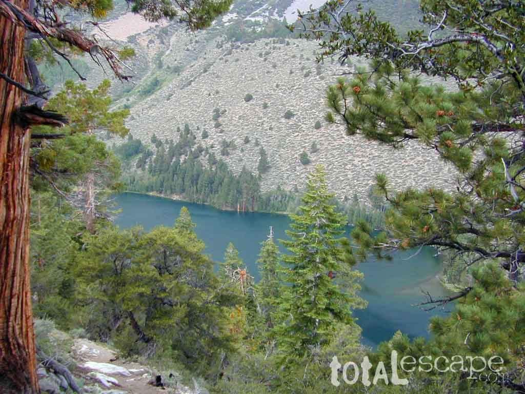
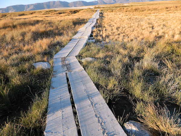
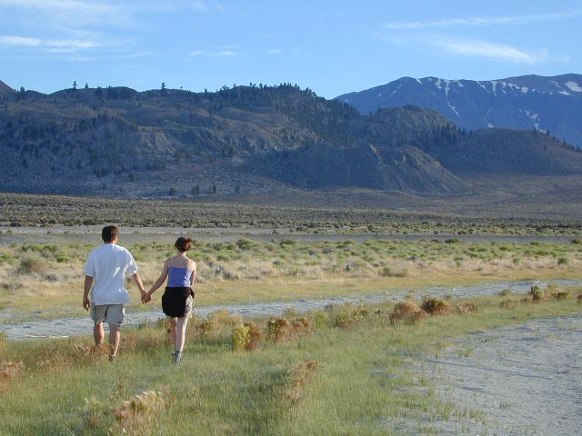
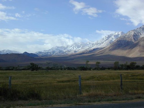
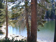
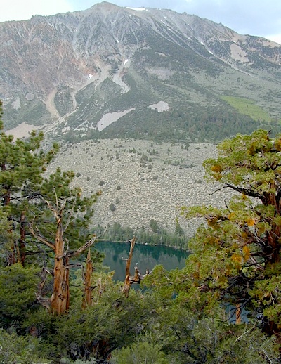
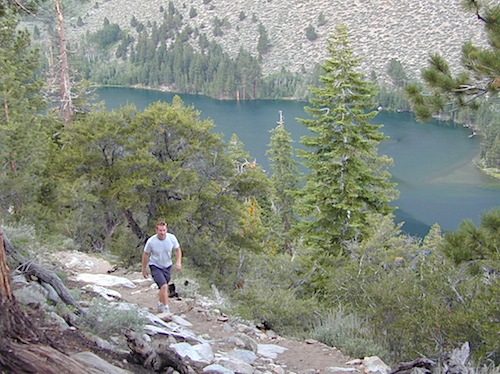
There is not enough room on this web site to list every single alpine lake in the majestic Eastern Sierra range, since there are hundreds, but we highlight a few of the hike-in accessible ones & the more popular camping lakes below.

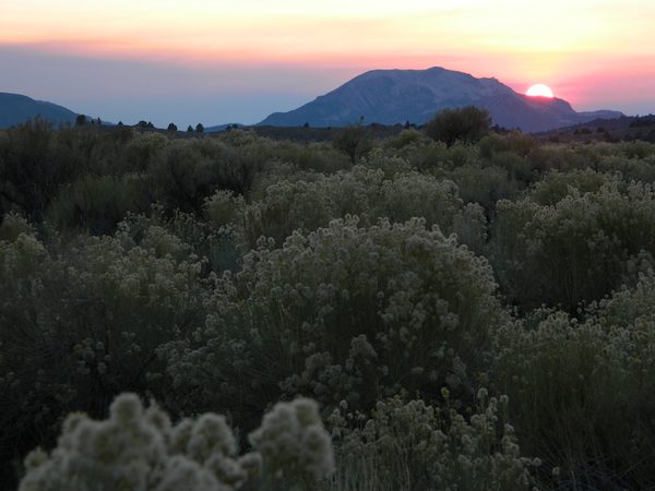
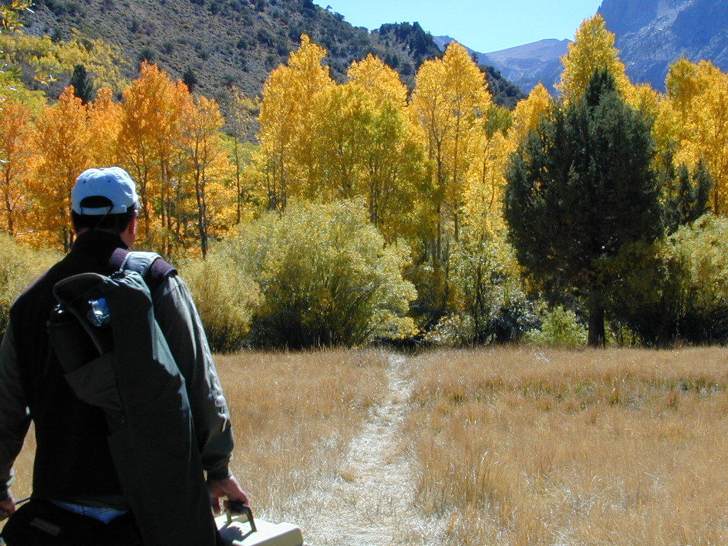
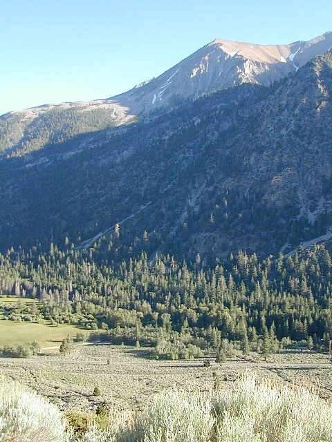
June Lake Loop is a paved, scenic drive highway that has multiple lakes with cabin rentals, camping, fishing, boat rentals. One of the best places to spend autumn looking for fall colors among the aspens.
DanaMite also knows a picture is worth 1000 words, so just click links for photos & enjoy!!!
 Lone Pine Lakes include –
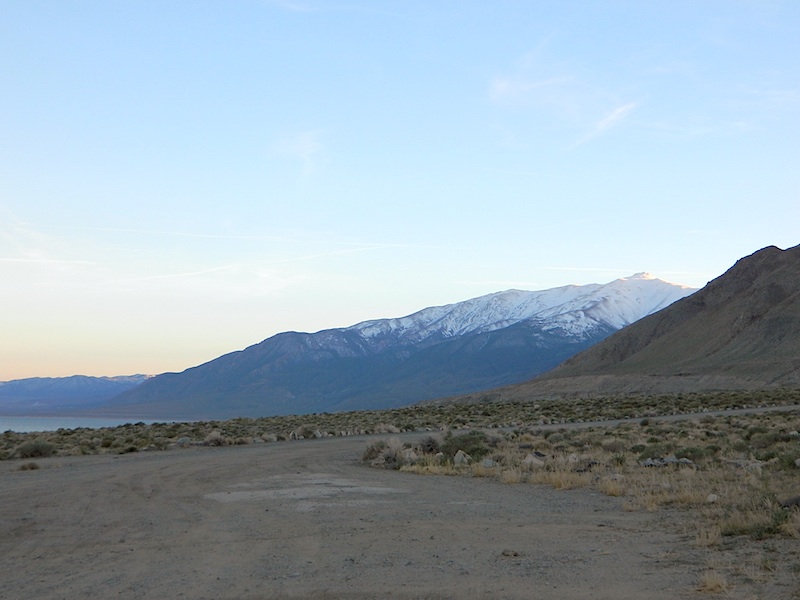
- Diaz Lake (on US Hwy 395)
- Cottonwood Lakes
 (hike in)
 - Lone Pine Lake (hike in)
Onion Valley ![]()
@ Independence, CA
Kearsarge Lakes include –
(all are hike-in lakes)
- Pothole Lake
- Gilbert Lake
- Flower Lake
- Heart Lake
- Big Pothole Lake

- Kearsarge Lakes

Bishop Lakes include – (Hwy 168)
- Lake Sabrina
- North Lake
- South Lake
- Coyote Lake (4×4)
 Rock Creek Lake
ROCK CREEK CANYON
US 395
Paved road dead ends at over 9000′ elevation
Wilderness Access w/ Trailheads & Parking
NFS Campgrounds
Remote Cabin Resorts

LAKE CROWLEY CA
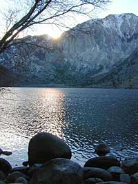
CONVICT LAKE CA
Mammoth Lakes include – (Hwy 203)
- Lake Mary
- Lake George
- Starkweather Lake
- Olaine Lake (hike in)
- Sotcher Lake
- Reds Lake
- Laurel Lakes
- Lake Genevieve
- Horseshoe Lake
June Lake Loop includes – (Hwy 158)
- June Lake
- Gull Lake
- Silver Lake
- Fern Lake (hike in)
- Grant Lake
- Parker Lake
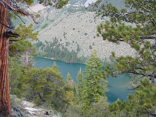
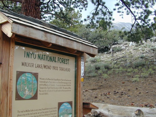
- Walker Lake (hike in)
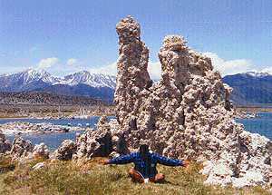
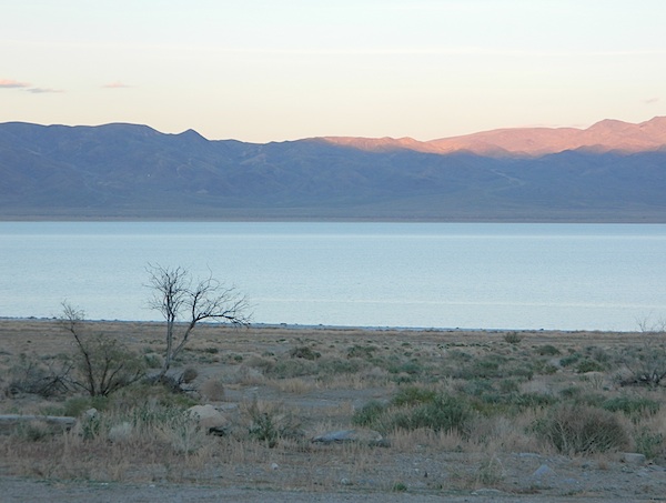
MONO LAKE CA
US 395 @ LEE VINING, CA
Yosemite NP [EAST ENTRANCE]
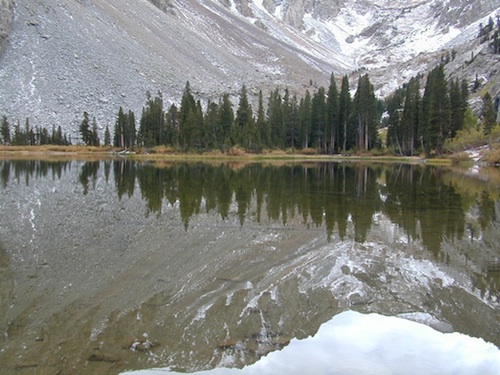
Tioga Pass Lakes include – (Hwy 120)
- Saddlebag Lake
- Lake Ellery
- Tioga Lake
- see more on Yosemite Lakes

LUNDY LAKE CA
- Bridgeport Reservoir
- Twin Lakes California
- Green Lake (hike-in) via Green Creek Rd
- East Lake (hike-in)
- West Lake (hike-in)
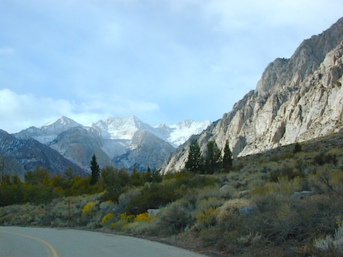
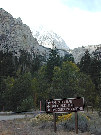
 Eastern Sierra topographic trail maps to lakes
- Ansel Adams Wilderness
- Bishop Pass Trail Map
- Devils Postpile Map
- Hoover Wilderness Map
- Inyo National Forest Map
- John Muir Trail Maps
- Kearsarge Pass Hiking Map
- Mammoth High Country Map
- Mount Whitney High Country
- Mount Whitney Zone Hiking Map
- NatGeo Mammoth Map w/ Mono Divide
- Toiyabe National Forest Map


 Eastern Sierra communities include:


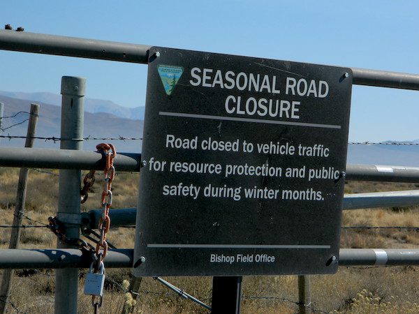
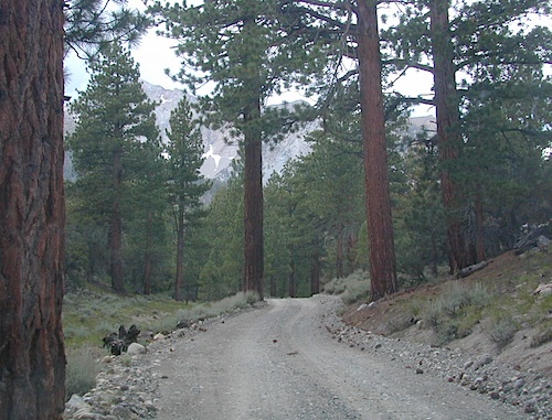
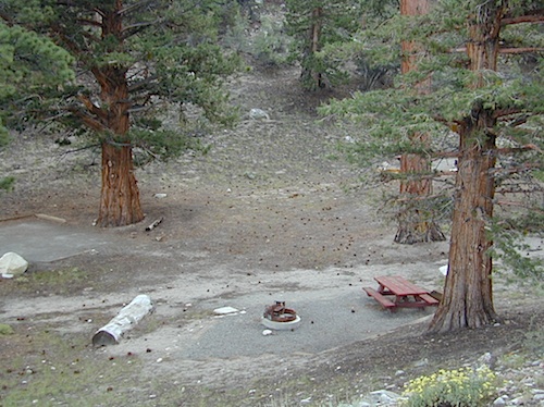
 12 NFS Campgrounds are located around Eastern Sierra Rock Creek Canyon. Elevations range from 7000′ at the highway, to over 10,000′ at a trailhead parking lot at the road’s end. Most of these developed campgrounds listed are only open a few months outta the year, due to winter snow closures (NOV-APRIL). On occasion, snow can still be on the roads until MAY.


