Rural, small mountain towns, close to Yosemite National Park.
Everyone wants to live in Yosemite! It’s like a magical wonderland of nature. Maybe the happiest place in California. Once you’ve experienced the incredibly beautiful valley and the granite views of the National Park, your thoughts may go directly to ‘when can I visit again’ or perhaps- ‘is it possible to live near Yosemite?’
YES indeed, people do live near Yosemite. Western foothills are under 5000′ elevation, so super deep snow is generally not a problem. Unless, of course, we break the record on rainy season (again). In 2016-2017, the Sierra Nevada mountains saw the most snow & rain ever recorded. Just so you know.
Often called gateway towns, these towns are the closest to the NPS boundary. There is a whole lotta forest between these towns and the famous Yosemite Valley.
Many more foothills towns (rural residential) are located to the west of Highway 49 – wineries, ranches and oak canyons, most w/ recreational Reservoirs. But we’re here on Total Escape to list the small towns that are closest (in proximity) to Yosemite NP.
Living in or near the mountains is a dream for many people in California. Why wait until retirement? Grow food gardens, get some chickens and hike everyday.
land is always cheaper outside the city limits
home prices are more reasonable in rural areas
more room to breathe (one acre to 40)
property with well for water
Relocating to a new area like this, often means changing your lifestyle. Less television, more stargazing. No gym membership, more biking and hiking. Less dining out, more cooking at home. Less socializing, more yard work & home improvements. Grocery stores farther away, so limit shopping trips to once per month. And the biggest benefit to living rural – grow your own vegetable garden.
PRO: close to nature, fesh air,wildlife, wildflowers, rivers, creeks, water, lakes, forests, fruit trees, small farms, free firewood, horses, livestock
CON: severe wildfire season, triple digit summer heat, lost tourists, landslides, brush clearance, real manual labor, minimal internet
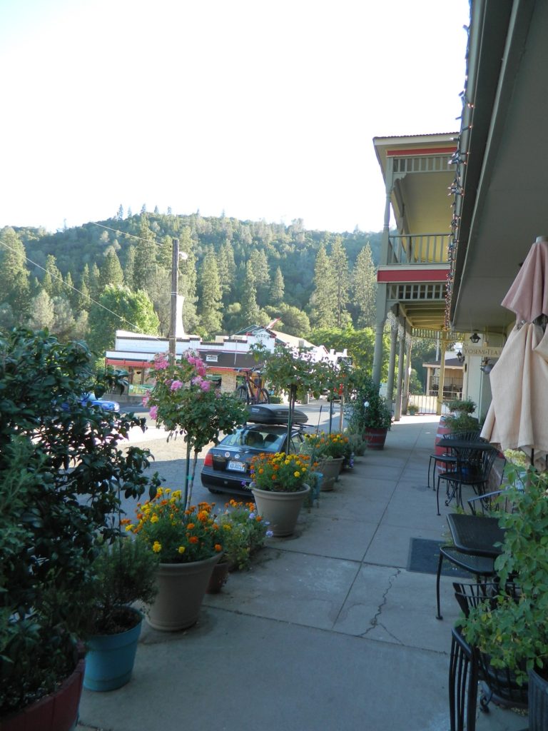
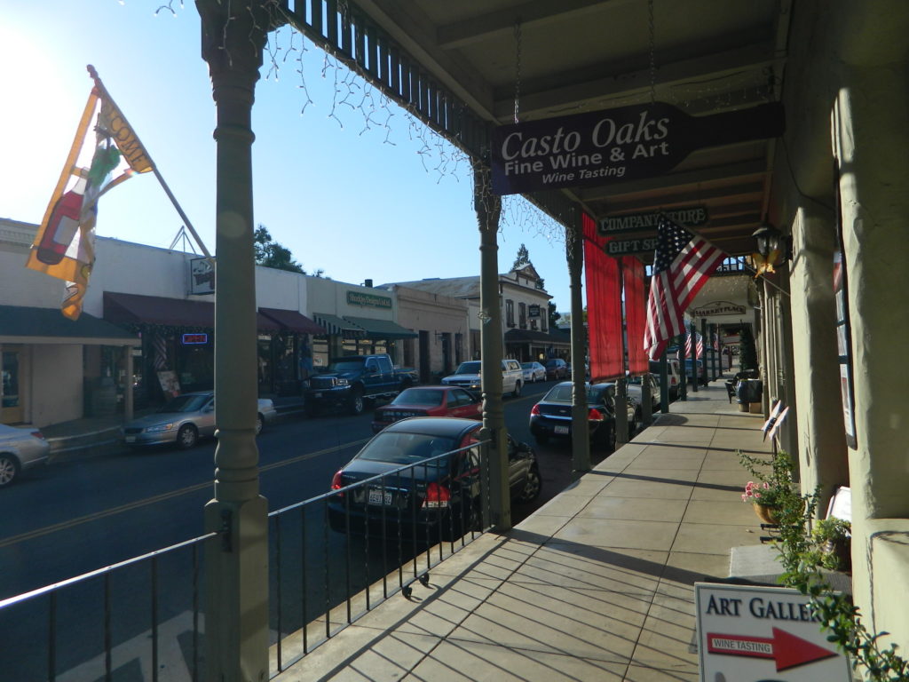
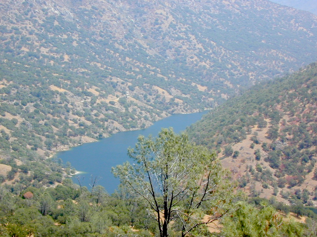
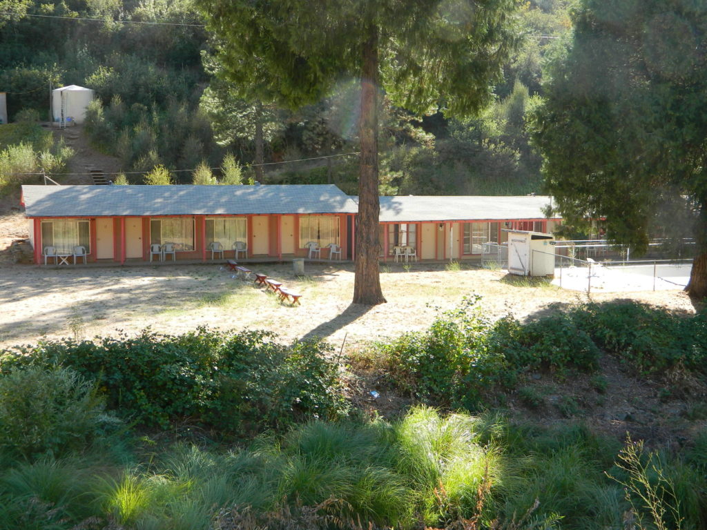
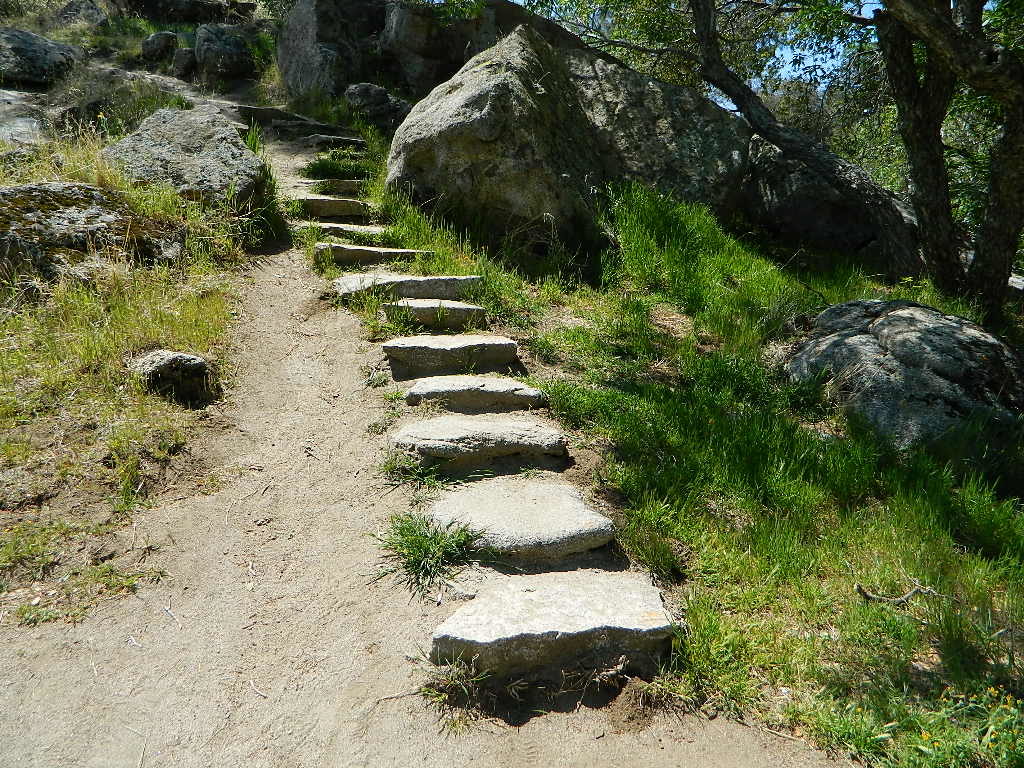
Groveland walk wayRedinger Lake, near North Fork, CAFunky, old, motel in El Portal, CA
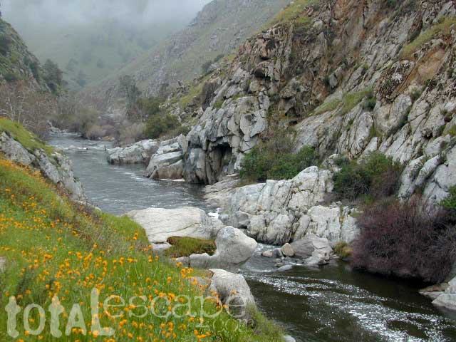
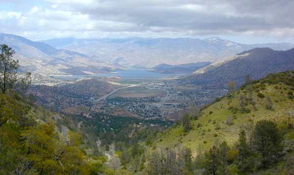
Due east of Bakersfield, CA the Kern Canyon’s massive rock opens to the west with big water. CA 178 Narrow 2-lane highway, lined by tall rock walls, cliffs, curves, few pull-outs and less guardrails. Geologically, the drive is impressive entering the canyon.
A large sign with death toll looms at the entrance, warning you to stay out and stay alive.
The Kern River is a southern flow, draining much of the southern mountains in the Sierra Nevada, including much Mount Whitney snow melt. Lake Isabella redirects the river westward to the Central Valley, so farmers can grow orchards of fruit. Citrus blossom fragrance fills the air on warm evenings, so be prepared to roll down the windows as you exit suburbia.
Kern County: Southern Sierra Nevada mountains river canyon, this prized recreation destination is the main attraction for the entire county. Lake levels at Isabella are often low, so know before you go w/ the Dam Task Force web page link and info.
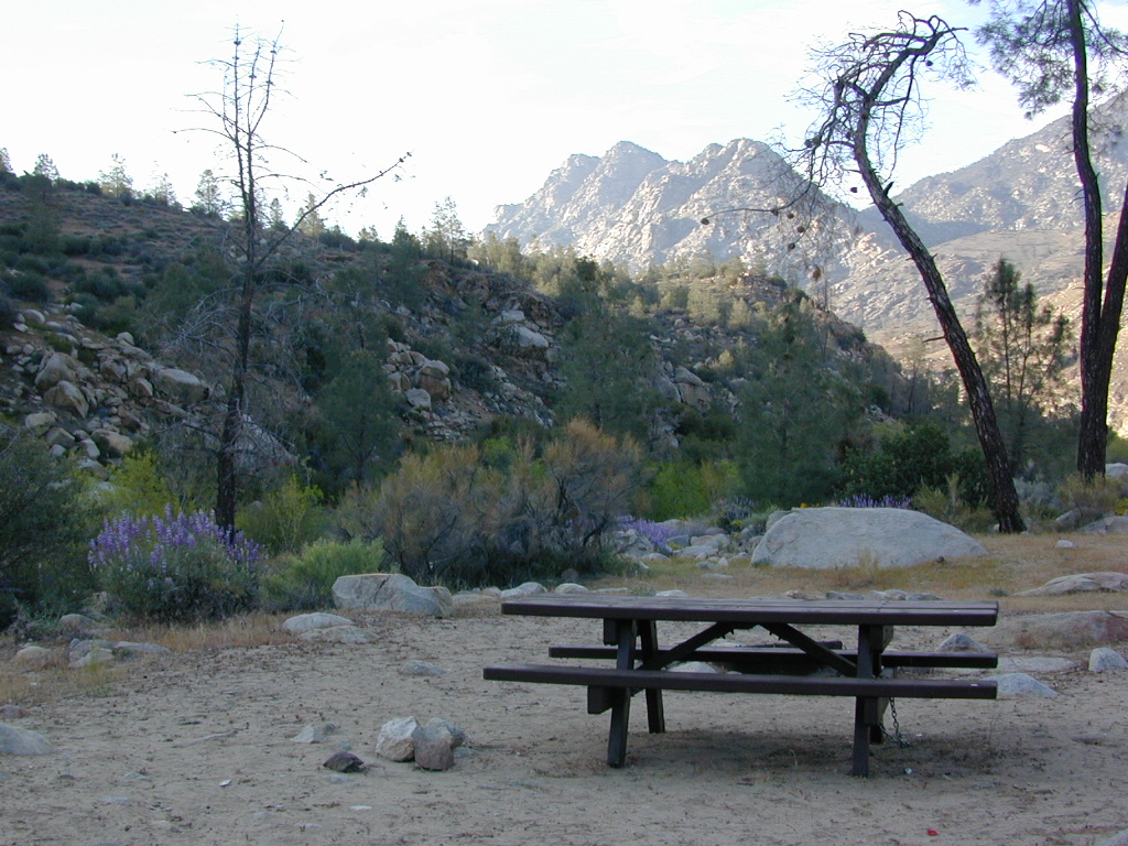
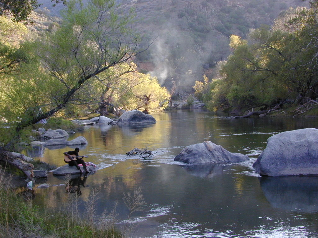
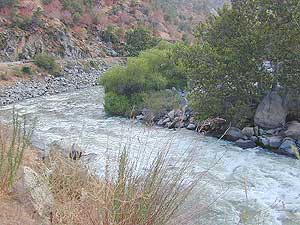
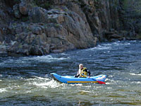
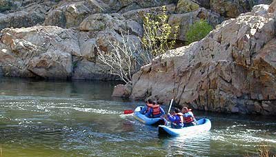
The few oak & pines trees around this river may be the only shade you will find in the summer on the southern end, and this place can get triple digit hot in summer months (so be forewarned). A refreshing dip in the cool Kern River is what you really seek, but this is a real river, a fast river, a dangerous white water river – so take extreme precautions around this river w/ life jackets. Hundreds have died already, as the sign tells us so. Rafters consider whitewater rating a Class V, for most of the lower Kern section.
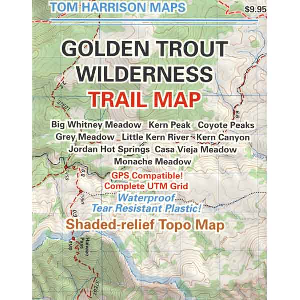
Upper Kern: Main fork of the Kern River is situated along the Rincon Fault line, which become the granite gorge of Kern River Canyon further north; the initial snowmelt and headwaters are located deep in backcountry of the Golden Trout Wilderness. All draining the backside of Mount Whitney and the Great Western Divide.
This larger, main river fork parallels the Sierra Hwy north of Kernville, CA with many miles of epic scenery. Plenty of camping for all types, fishing, tubing, rafting, kayaking, mountain biking and backpackers trailheads.
South fork of the Kern River begins up in the Golden Trout Wilderness. Tulare County. Eastern Sierra @ Olancha Peak. Monache Meadows, Inyo National Forest. The river traverses southward over the Kern plateau, Kennedy Meadows, Dome Land Wilderness. Chimney Peak Wilderness, Long Valley Campground. At Pilot Knob (6200′ elev) the South Kern turns west to join Lake Isabella.
Lower Kern: West of Lake Isabella, the river continues tumbling down the rocky, oak hills below the Greenhorn Mountains and eventually ends up at Lake Ming, or downtown Bako.
Little Kern River: a smaller, western fork coming down from Quinn Peak (10,168′ elev) on the Great Western Divide in the Golden Trout Wilderness. It joins at the Forks of the Kern near Jerky Meadow.
The whole Kern Canyon region is part of Sequoia National Forest and always under a wildfire threat in the latter part of the year. Kern River is very popular with city dwellers seeking big Sierra water that is close to SoCal.
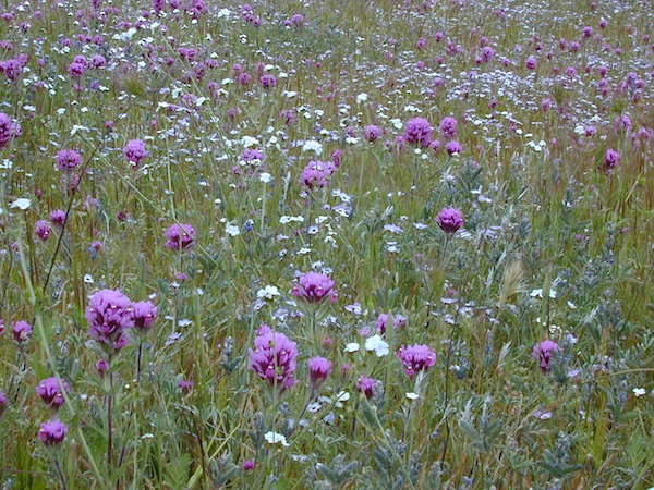
Wildflowers are incredible in Kern County overall, and the Kern Canyon is no exception. Lower Kern blooms earlier than Upper Kern. Old Kern Canyon Road is a scenic drive that parallels the highway where you can find flora blooming March – May. Above Kernville the wildflower showing may be short, but sweet. Large river Lupine can be found at almost every campground, while Golden Poppies and Owls Clover line meadows near the main highway.
A variety of terrain in the southern Sierra Nevada mountains will have you puzzled where to start. From cedar forests to Sequoia groves, mountain peaks to fishing creeks, granite domes to granite gorges, wildflowers to waterfalls, hot springs to hot summers, Kern County has it.
Winter backpacking is quite popular here, as snow levels do not drop as drastically as in other mountain locations. Elevations from 1000′ – 4000′ are often ideal for winter hiking trips. Summer is usually best in the higher elevations, above 5000′
Wilderness permits are required for backcountry overnight stays.
Free camping, boondocking and primitive camping options are found near small streams and along the back roads of the neighboring Sequoia National Forest areas. Most secluded camps can be found 25+ miles north of Kernville, well away from the Kern River on the feeder creeks that flow into the big river. Dirt road driving may be required to find the most secluded camp spot. See more on Sequoia dispersed camping on back roads.
Campfire Permits are required for back roads primitive camping in this tinder-box region. More often than not, fire restrictions prohibit campfires during dry conditions. Hot summers, even lasting well into autumn. Obtain a free fire permit online or from the local rangers and be sure to find out if any restrictions are currently in place. USFS Ranger stations are located in downtown Kernville and at Lake Isabella.


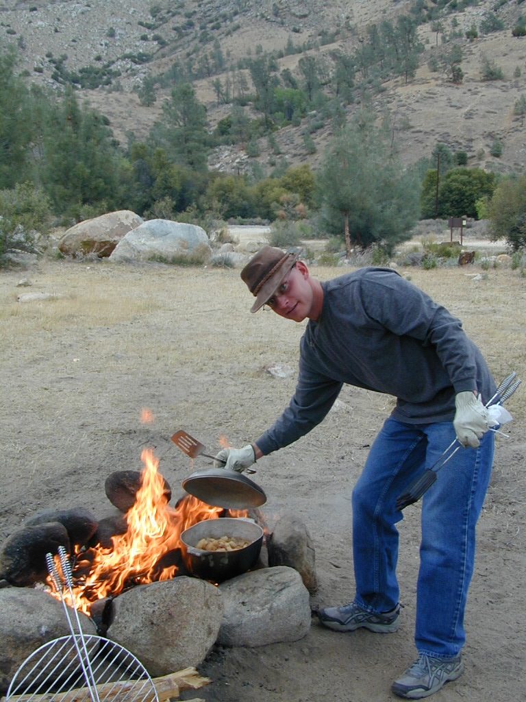
 Campfire Permits are required for back roads primitive camping in this tinder-box region. More often than not, fire restrictions prohibit campfires during dry conditions. Hot summers, even lasting well into autumn.