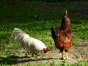
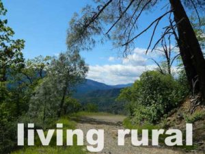
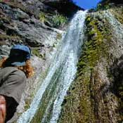
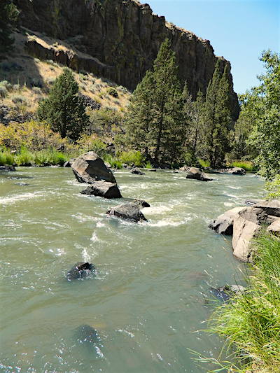
Rural California
forests, mountains, rivers, canyons, orchards, farms, wilderness
The states with the largest amount of land classified as rural are:
1. Alaska, 2. Texas, 3. California, 4. Montana
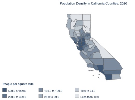
The state of California has the highest population in the nation, but residents are highly concentrated and unevenly distributed.
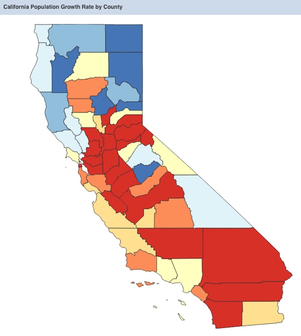
California’s population has declined for the first time in its history. Population increased from 1800 up until 2017, but most recently has seen a decline, referred to as ‘CalExodus’
NOTE: Half the population resides in just 4 counties:
Los Angeles, Orange, San Diego, San Bernardino
58 counties in California
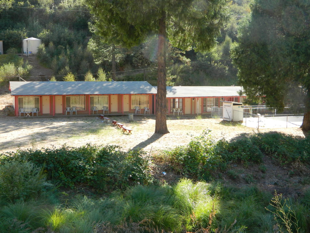
In California the majority of the population live in urban (city) areas, while just a small percentage live in rural areas. California’s rural population is not highly concentrated, but distributed throughout many of the 58 counties.
Rural Relocation inside of California
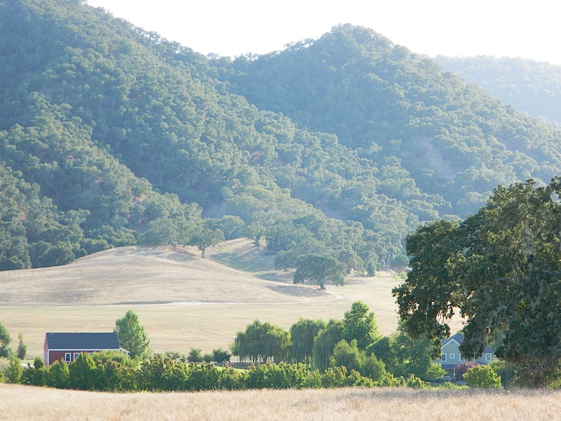
Rural Northern California
California counties defined as rural:
California counties considered mostly rural:

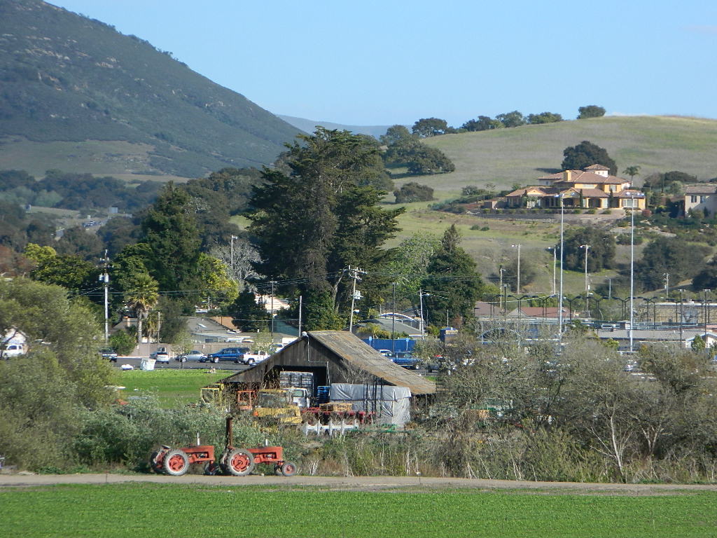
The California counties listed below may have growing populations, yet most still have available land for small farms, orchards and livestock. Home prices will be higher in areas in close proximity to cities. When planning to relocate outside of a city, abundant water should be a top priority. Wells can dry up during drought years, so check this 2015 map for prior affected regions.
More California Counties w/ Rural Residential Areas:
- Butte
- Colusa
- Del Norte
- El Dorado
- Glenn
- Humboldt
- Kern
- Lake
- Mendocino
- Nevada
- Placer
- San Luis Obispo
- Shasta
- Tehama
- Tulare
- Tuolumne
- Yolo
- Yuba
 Rural areas can still be found in Southern California, in places like East County San Diego and maybe Riverside County, but the cost of real estate is high in many parts of the state and not easily affordable.
Anything near the coast is way more expensive than sunny, hot inland locations, with desert lands being the least expensive. Food grows well in sunshine and heat, just make sure you have lots of water. Be prepared to build shade structures.
Total Escape is here to show you the rest of the state.
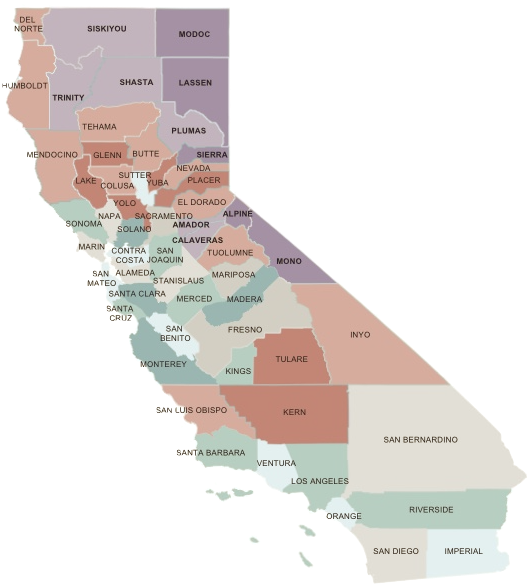
purples are rural
oranges semi-rural
RELOCATING TO RURAL COUNTRY
Many older homes may be in dire need of complete renovation, so be ready to work, or hire out to have it done. Moldy foundations, collapsing basements, leaky roofs, retaining walls. Home inspection should be learned (in advance) of home ownership.
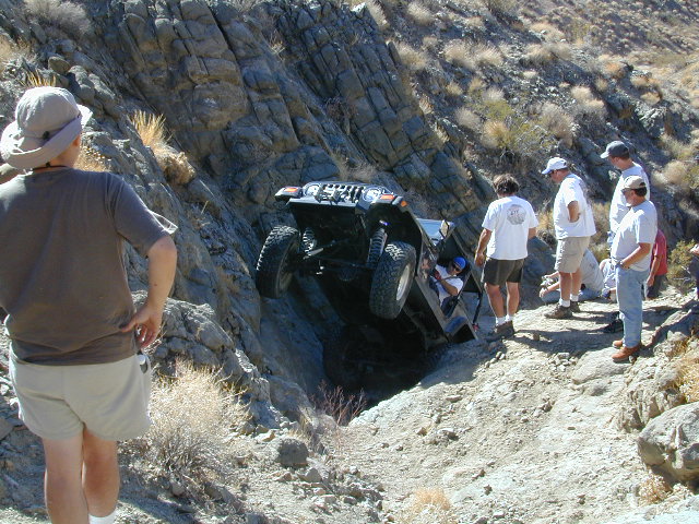
Rural ranches and mountain homes may be located on dirt roads. Snow and rain make unpaved access messy or impossible, so vehicle choice (4×4) could be an issue when relocating to wilder lands.
Larger properties could be totally undeveloped. Land excavation is quite expensive, so you might need to consider buying your own earth moving machine.
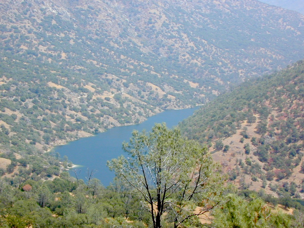
Looking for a rural property with a well and/or a creek will ensure a good water source for years to come, but only if you maintain the system. Upgrades may be needed and water filters are always a reoccurring cost. Water testing is recommended for your home. Well tests are usually offered by local well companies. To drill a new well on raw land, expect to pay thousands of dollars. Especially if no road or drive way exists.

WILD FIRES in California
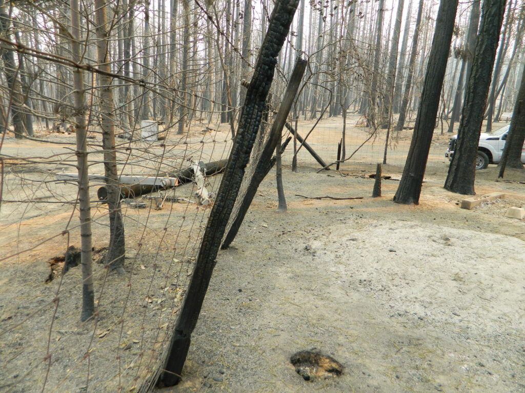
Wildfire is a common threat in rural areas, due to the amount of vegetation and the remote location. Preparation (years in advance), can go a long way to saving your structures from catching fire.
Harden your home to stand alone, without any expectations of firefighters coming to fight the fire or save your house.
Be physically fit, disciplined and capable of ‘brush clearance’ on your own land, every year. What used to be a 30 foot perimeter clearance around structures, has turned into a 100 foot requirement.
But with recent erratic fire seasons, more aggressive and lasting longer – authorities are now considering a 300 foot clearance mandatory, allowing for tree removal well into neighboring properties.
Be prepared to pay for tree removal and brush clearance, if you cannot do it yourself. Your life and property LITERALLY rely on proper brush clearance around your home.
TREE REMOVAL + BRUSH CLEARING
Since many wildland fires are spread with the dramatic wind events, originating from the east, special consideration should be paid to the east side of buildings.
Geography plays a big part on this. Sometimes winds come from the northeast. Know the unique landscape, hazard potentials and the pattern of weather for the region you reside in.

WEATHER
California has it’s own share of weather related crises’ – from seasonal flooding to landslides, rock slides to avalanches, heatwaves to snow storms, winds events (up to 70 mph) and of course, dry lightning strikes with abundant wild land fires.
Too cold, too hot, too much snow. Research historical weather records for any place you plan to live, and expect those normals to change (maybe drastically) with future predictions.
Over the decades, Total Escape has found the NWS, which is the National Weather Service, forecasts to be more accurate than most of the other weather related web sites. Be ready for any type of weather, from serious downpours to droughts.
ELEVATION
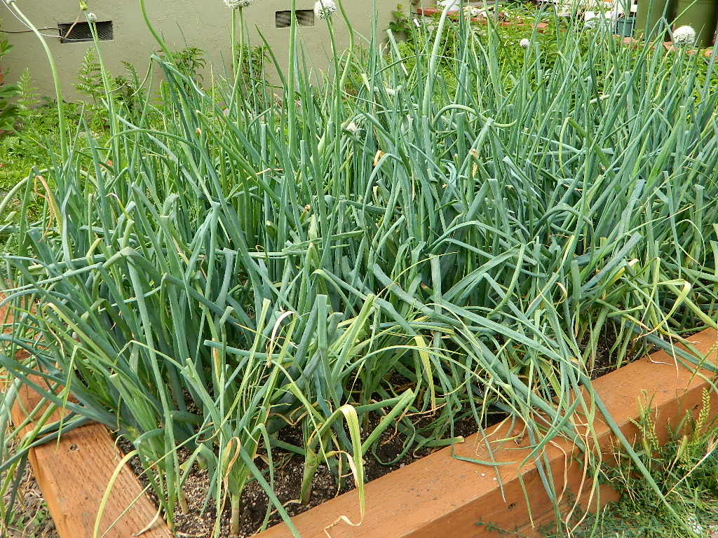
California has extreme elevation, with below-sea-level desert basins to the tallest granite, mountain peaks. It is much easier to grow food crops at lower elevations in California, than in the mountains or foothills. Livestock and apple & citrus orchards prefer the sunny mountain foothills, while rice and grains will typically grow only in the low lands. Know what terrain is best for the type of farm or homestead you want to create. Snow is possible, but not very common, down to 1000′ elevation. Snow depth can be an issue for any type of year-round growing above 4000′ elevation.
DOWN THE HILL
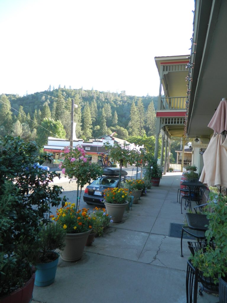
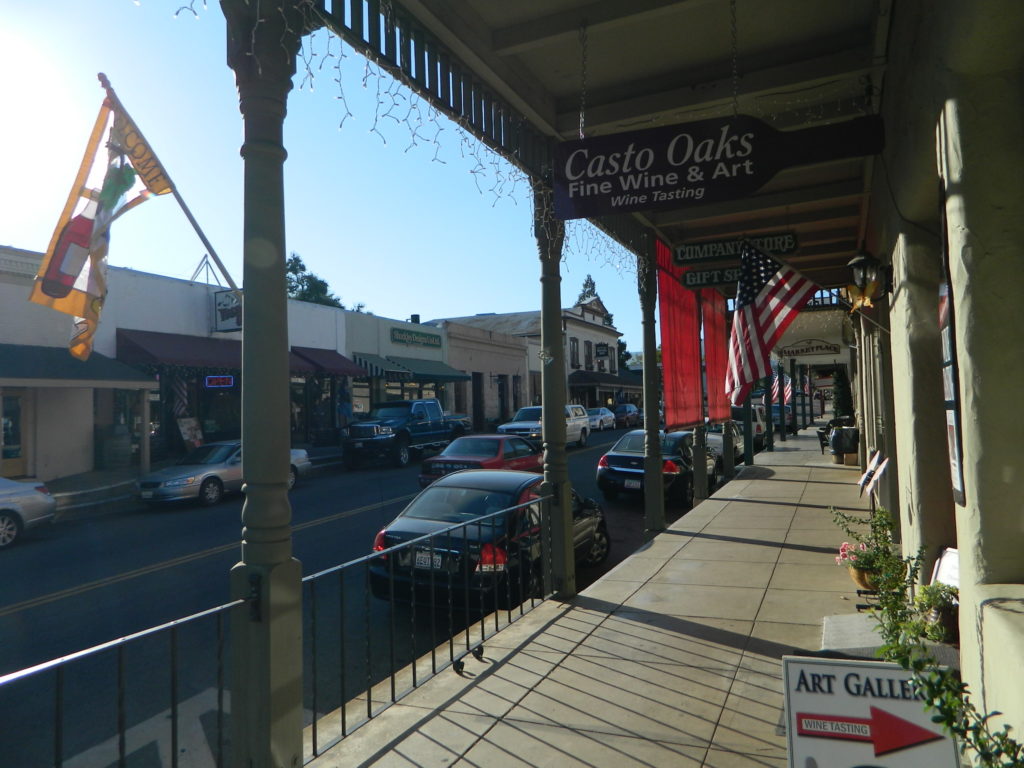
Shopping and groceries could be many miles away, so you’ll need to see how far you are willing to drive (and how often) for food staples. Hardware stores, big box stores and most conveniences of city life are now hours away.
As Americans, our ancestors come from the natives, the rebels, the adventurers – and the dreamers, many of who migrated westward to create a better life.
Now is a time that we could re-create ourselves, as a nation – and individually.
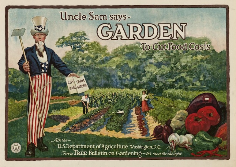
During the Great Depression of 1930’s – nearly half the US population worked in agriculture – and most households had a backyard vegetable garden. That lifestyle continued through the 1950’s, but then commercialism and pesticides took over our food; and we became less interested in food production over the decades.
DISTRACTED
Today, farm workers have decreased to less than 10% of our population. Now we rely on corporations to feed us. If you yearn for a new life – outdoors, out in the country, with less city, less noise and more nature – this site can help you find a new rural location to explore, even in Crowded California.
Total Escape has been focusing on rural California since 1996
California towns & cities by Elevation
California towns listed by Population
California towns & cities by Zip Code
California Regional Map


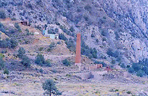


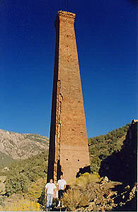
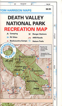
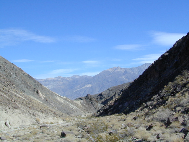
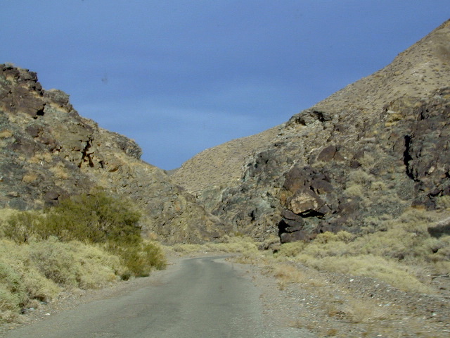
 Death Valley National Park boundary means developed campgrounds are a few miles away up Wildrose Canyon.