Gurnsey Creek, Lassen Forests & Fishing
NFS Gurnsey Creek Campground: W of Chester, CA
CLOSED 2020-2022: Campground is undergoing some serious work with removal of hazardous trees and forest clean up. NOTE: DixieFire 2021 did not damage this portion of the forest highway (CA 36)
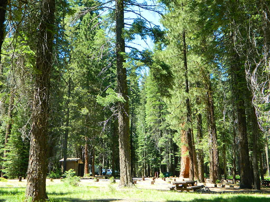
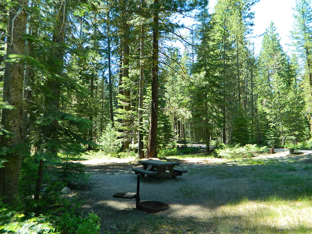
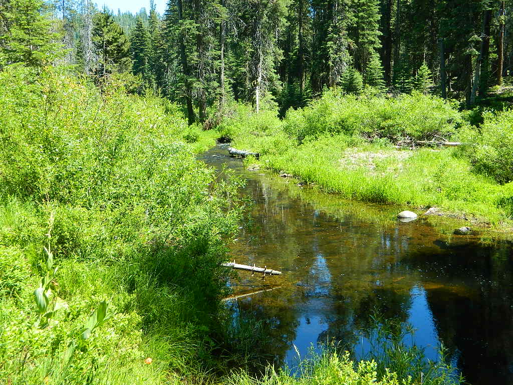
A developed USDA campground along forested Highway 36, near the junction of Chico’s Hwy 32. This stretch of 36 overlaps with north-south Lassen Hwy 89. Awesome fishing creek, meadows, hiking trails and mountain biking trails nearby. Paved, level camp sites w/ easy access to Lassen Volcanic Park and the National Forest.
This is a popular camp just south of the Lassen National Park boundary and 5 miles east of Child’s Meadow Resort. Car camp, tent camping, some spaces for large motorhomes. Plenty fishing, hiking and mountain biking trails.
Gurnsey Creek begins in Childs Meadows, north on Hwy 36 – just outside of Lassen National Park
Gurnsey Creek Campground, California
on Gurnsey Creek; Campground open May-October
(depending on snow) 
Lassen Creek Camping
52 camp sites on Gurnsey Creek @ 4700′ elevation; vault toilets, creek and piped water, bear boxes; first come, first serve camping – and reservations are also accepted
Max Camper Length: no limitations
Shady forest camp sites w/ creek. Numerous fishing spots. Close to Lassen Volcanic National Park, Chester and Lake Almanor. Backpackers, day hikers and horseback riders will enjoy the PCT nearby. Pacific Crest Hiking Trail runs to the east side of this campround.
CHESTER, CA ![]()
Rangers Office: 530-265-4531
Almanor Ranger DIstrict, Lassen NF
2 reservable Group Camps are available at this campground. Group Site 1 can accommodate up to 56 people; Group Site 2 can accommodate up to 112 people.
Free Camping nearby.
If you are seeking primitive camping in this Lassen area, look for dirt roads in the USDA National Forest lands, which surround the National Park boundary.
to the west – Lassen Road #14 – the Blue Ridge, north off of Hwy 89 @ Mineral.
to the south – Yellow Jacket Road #29N48 around Turner Mountain, which is south-southwest of Mill Creek.
to the east – Lassen Road #10 – head north off of Highway 89 in between Chester & Westwood.
see also – Lassen Lakes
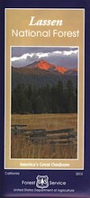 Highly advised: a real map, a printed ‘hard copy’ shows both the National Park and the National Forest of Lassen on one map – with topographic features, all mountain peaks, creeks, lakes, trailheads, plus all dirt and paved roads.
Trailheads near Gurnsey Campground lead out to –
- alpine fishing lakes
- mountain peaks
- PCT – Pacific Crest Trail
- Childs Meadows
- Spencer Meadow
- Elizabeth Lake
- Willow Springs
- Mill Creek & Hole in the Ground
- Wilson Lake 5267′ elev
- Lassen Peak 10,457’elev
- Lassen National Forest
- Lassen National Park
NEARBY TOWNS:
