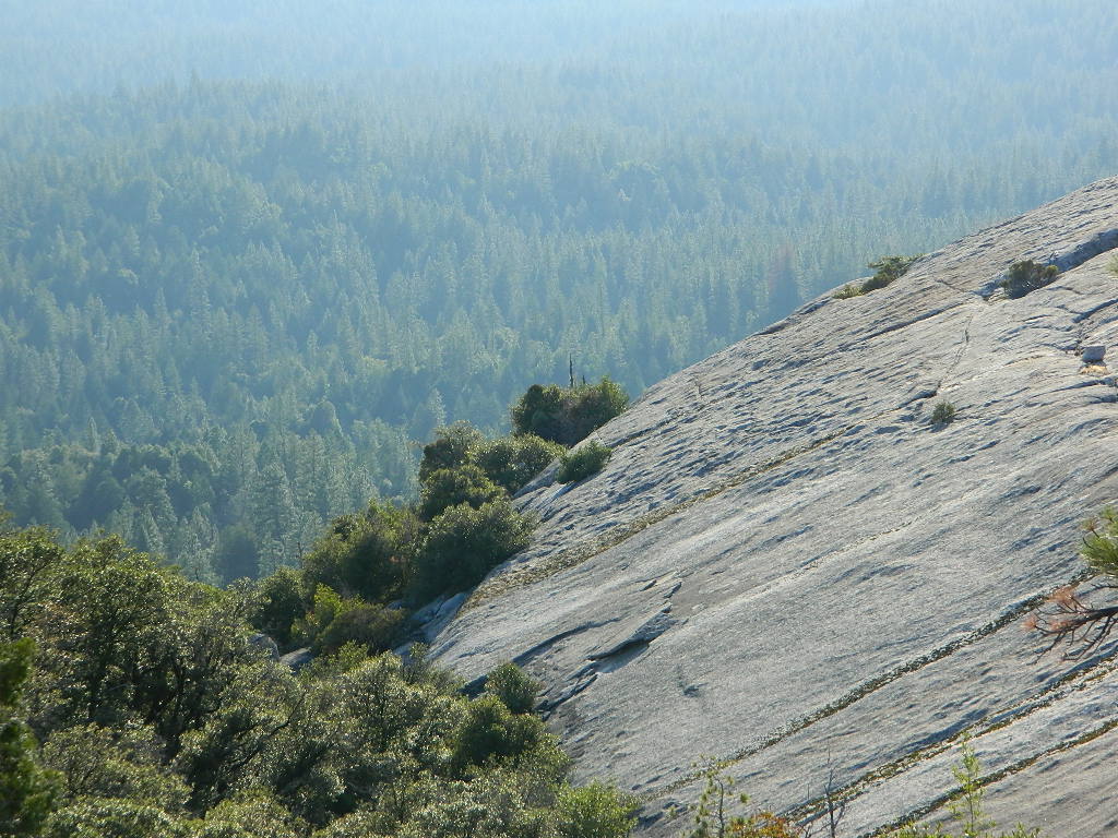
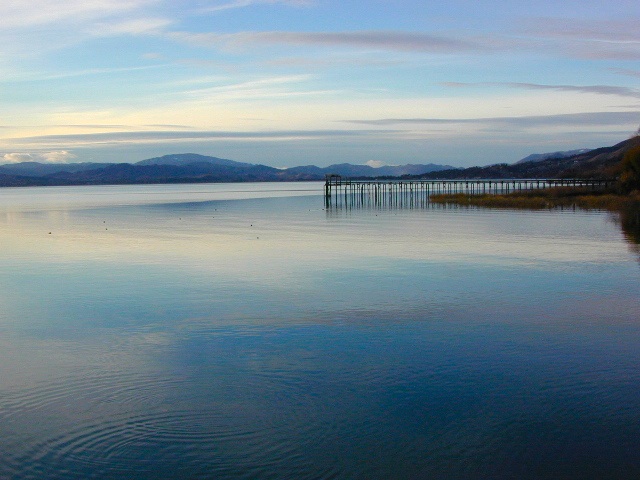
Trinity is NorCal’s jewel of alpine lakes and granite peaks – many above 8000′ elevation, about 40 miles inland from the ocean. Trinity is located in between the infamous redwood coast and the I-5 corridor. Rivers, creeks, lakes, and trails into the high elevations regions, bqckpackers and equestrian campers alike.
Hiking trailheads are accessed from all sides -On the east side you have Trinity Lake & Trinity River w/ Highway 3 running lengthwise in a north-south direction. Hwy 299 runs east-west along the south side of the wilderness. Klamath River Hwy 96 lies on the west side of the wilderness. Salmon River, Scott Mountains and Cecilville are north of the alps.
Both the small Russian Wilderness & the larger Marble Mountain Wilderness are located to the north of Trinity Alps, along with rural towns near the Scott Mountains and the Salmon River. Castle Crags Wilderness is to the eastern side, near Interstate 5.
The mountainous area is quite unique, as exposed granite mountain peaks and alpine lakes are pretty rare in the coastal Cascade ranges. The only other spot in California that has an 8000′ peak nearing the coast is just north of Los Angeles – Los Padres’s Mount Abel & Mount Pinos peaks, both over 8000′ in elevation.
TRINITY ALPS TOPO MAP
The USDA map for Trinity Alps Wilderness was outta print for nearly 2 years and it has recently been updated and reprinted. New edition released in 2013 and now available at the Total Escape map store. Printed on waterproof map paper and updated in 2012.
CLOSED 2020-2022: Campground is undergoing some serious work with removal of hazardous trees and forest clean up. NOTE: DixieFire 2021 did not damage this portion of the forest highway (CA 36)
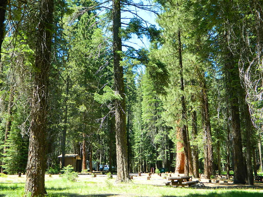
A developed USDA campground along forested Highway 36, near the junction of Chico’s Hwy 32. This stretch of 36 overlaps with north-south Lassen Hwy 89. Awesome fishing creek, meadows, hiking trails and mountain biking trails nearby. Paved, level camp sites w/ easy access to Lassen Volcanic Park and the National Forest.
This is a popular camp just south of the Lassen National Park boundary and 5 miles east of Child’s Meadow Resort. Car camp, tent camping, some spaces for large motorhomes. Plenty fishing, hiking and mountain biking trails.
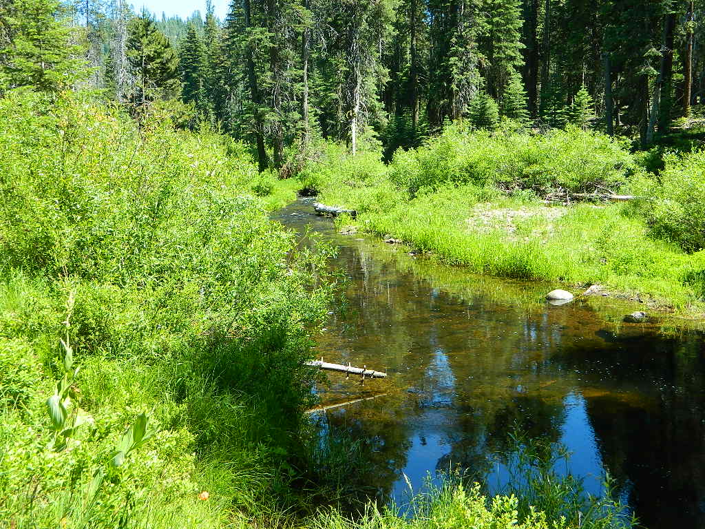
Gurnsey Creek begins in Childs Meadows, north on Hwy 36 – just outside of Lassen National Park
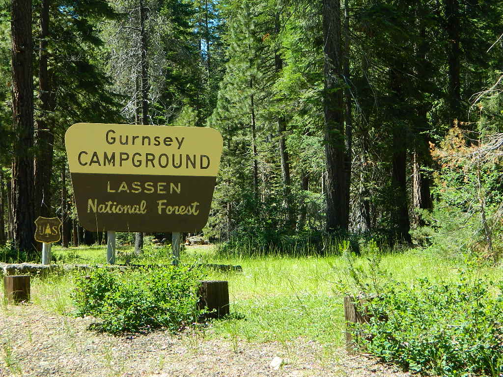
Gurnsey Creek Campground, California
on Gurnsey Creek; Campground open May-October
(depending on snow)
Lassen Creek Camping
52 camp sites on Gurnsey Creek @ 4700′ elevation; vault toilets, creek and piped water, bear boxes; first come, first serve camping – and reservations are also accepted
Max Camper Length: no limitations
Shady forest camp sites w/ creek. Numerous fishing spots. Close to Lassen Volcanic National Park, Chester and Lake Almanor. Backpackers, day hikers and horseback riders will enjoy the PCT nearby. Pacific Crest Hiking Trail runs to the east side of this campround.
CHESTER, CA Rangers Office: 530-265-4531 Almanor Ranger DIstrict, Lassen NF
2 reservable Group Camps are available at this campground. Group Site 1 can accommodate up to 56 people; Group Site 2 can accommodate up to 112 people.
Free Camping nearby.
If you are seeking primitive camping in this Lassen area, look for dirt roads in the USDA National Forest lands, which surround the National Park boundary.
to the west – Lassen Road #14 – the Blue Ridge, north off of Hwy 89 @ Mineral.
to the south – Yellow Jacket Road #29N48 around Turner Mountain, which is south-southwest of Mill Creek.
to the east – Lassen Road #10 – head north off of Highway 89 in between Chester & Westwood.
Highly advised: a real map, a printed ‘hard copy’ shows both the National Park and the National Forest of Lassen on one map – with topographic features, all mountain peaks, creeks, lakes, trailheads, plus all dirt and paved roads.
Black Butte Lake, West of Chico, CA
On the west side of Interstate 5. Campgrounds, boating, wildflowers and hiking trails.
Clear Lake Area
Bear Valley Road (long dirt road) which connects Hwy 20 to Stonyford. Look for small dirt road turn off (north) off of Highway 20. NE of Clear Lake, CA
BLM Glen Eden Trail
Lakeport @ Clear Lake, CA
w/ California Fawn Lilies and camping
Mill Creek, California
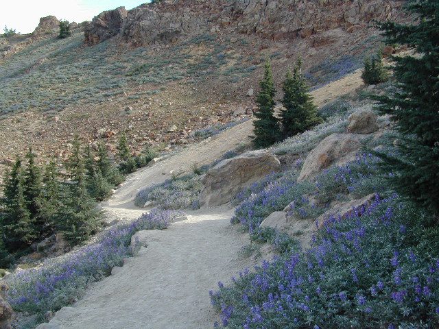
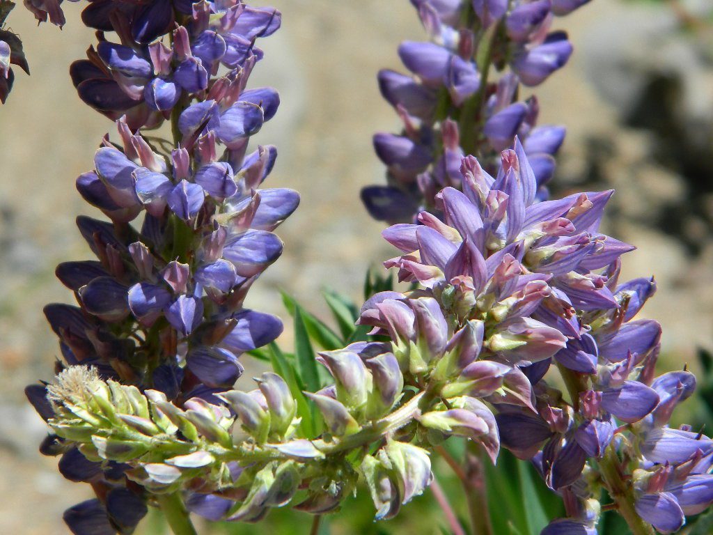
Giant, curly lupine on a big creek, just south of Lassen National Park. Park along Hwy 172 on the east side, about a mile before the Mill Creek Resort and hike along creek to find large lupine. Great picnic area.
Curly Lupine @ Mill Creek, CA
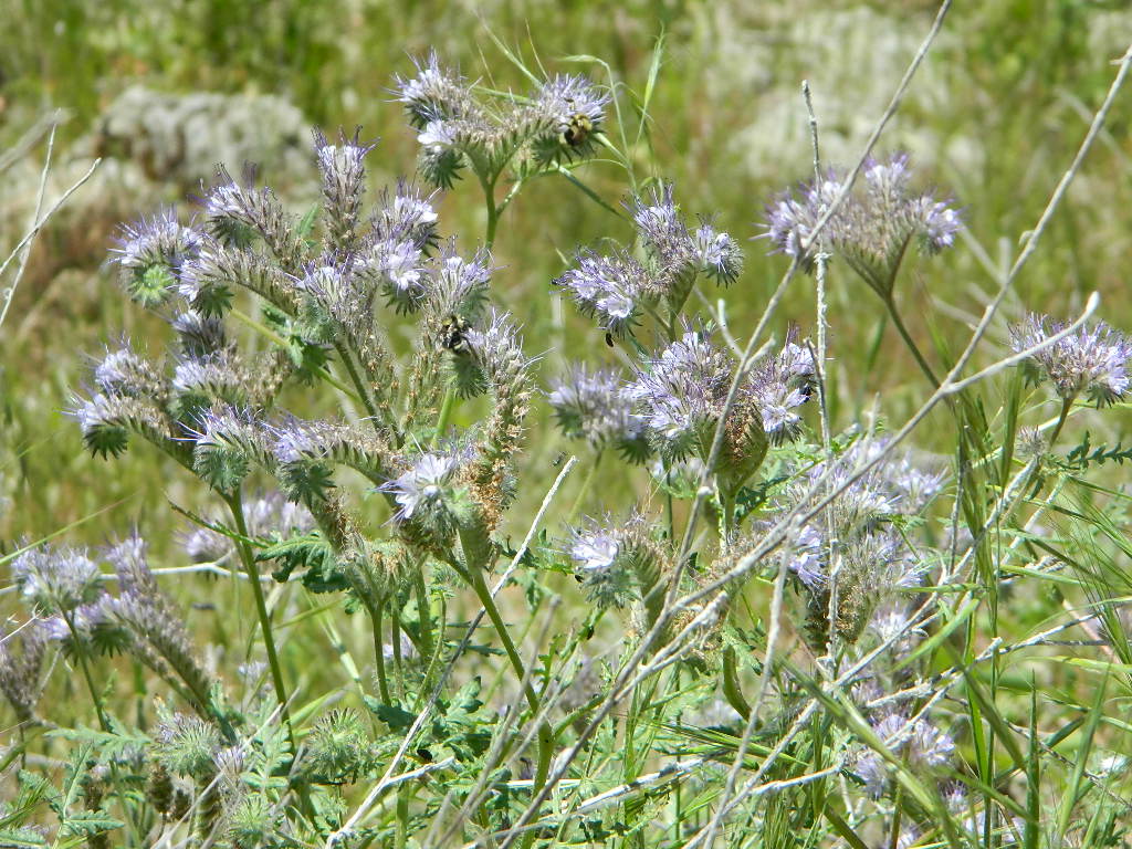
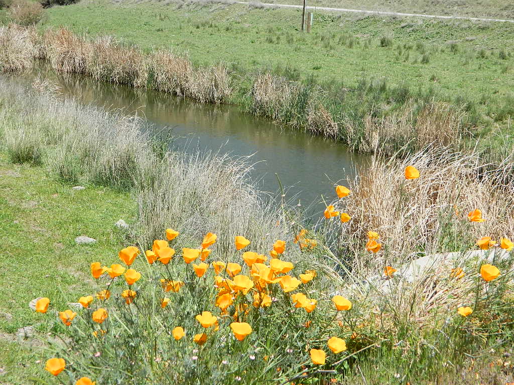
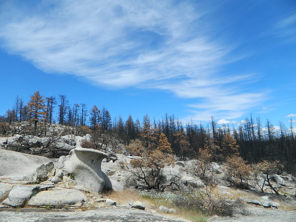
wildfire note: burn scars are excellent spots to find wild flowers
North Sierra Nevada Mountains
Bald Rock Road Loop, Berry Creek, CA
Granite dome above Lake Oroville SRA
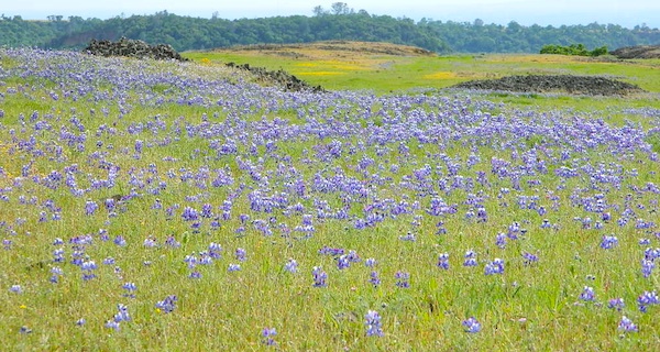
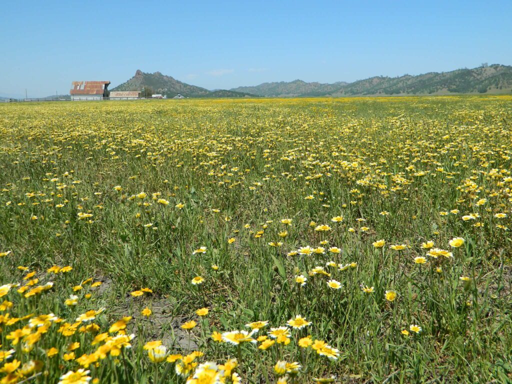
Hiking trailhead, Scenic drive loop. Lupine, poppies, monkey flower, dogwoods. Wildflower drive through a recently burnt forest (2020) #BearFire
Butte County Bicycle Ride Chico Wildflower Century Ride
Bike riders can enjoy the hilly Wildcat 100 & 125, the traditional Wildflower 100 & 65, the Flatflower 60 & 30, and the Childflower 12. Wildfest pre-ride party.
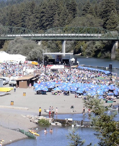
Summertime warms up and being outdoors is THE plan. The Russian River Jazz & Blues Festival is held annually near the redwood forests of Guerneville, California. Located of event is Johnson’s Beach – right on the Russian River. This is a great opportunity to camp out in the inland, North Coast region. Plenty beach parks & campgrounds nearby.
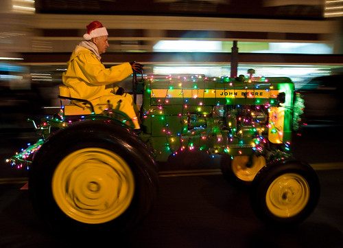
Local farmers and ranchers parade fancifully decorated tractors and tractor-drawn wagons depicting holiday scenes down the Victorian Village’s historic Main Street. Sparkling country Christmas celebrations include the Tallest Living Tree Lighting, shopping and dining downtown. Romantic Christmas destination on the Northern California Redwood Coast!
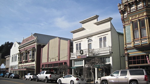
Northern California Coast near the Humboldt Redwoods, this county fair has to be one of the oldest in the golden state – over 100 years running! The scenic Victorian Village of Ferndale hosts the annual Humboldt County Fair every August. Carnival rides, games, music, food, livestock & horse races too.
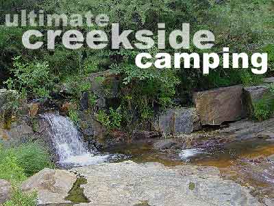
Car campers in Southern California dream of the perfect setting: an uncrowded campsite, in a lush forest, with tall trees & flowing stream of crystal clear water. A swimming hole nearby, plus a place for the hammock. They also want it less than a 2 hours drive from their home. Unlikely.
The real California rivers & mountains are in the northern half of the state, while the lower is more like a desert. You will need to drive hours to reach these kinda spots. The Sierra Nevada mountains are the closest bet for finding a creek side camp. Lassen is next, for exploring numerous dirt roads that lead to secluded spots. Northern California, above Redding usually has water flowing and decent fishing, even in the driest years.
Read more on specific California camping techniques:
Developed campgrounds located next to rivers, creeks, or streams can be found on the back roads of California. Below is just a sample of small towns that have creek campgrounds nearby:
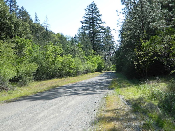
Many of the best creek camp spots are located outside of developed Campgrounds. Most we suggest on this site are located on dirt roads. Some routes may require a 4×4 vehicle, or high clearance 2WD.
thin blue lines – You’ll know a decent road when you see it. But when you are starting out at home, you need to concentrate of what dirt roads are along what water sources. And will these streams be flowing at this time of year? Many are seasonal creeks & can dry up in late summer. The most likely place to find great water flow is to look for the streams flowing directly into a major river or Lake/ Reservoir.
And if you are really not into to roughing it, but wanna find a CABIN on RIVER or CREEK, check out our extensive list of all vacation cabins here, California Cabin Rentals
Lassen Camping near a creek in Northern CaliforniaUpper Baker Creek, Inyo NF – 4×4 CampVan Life, on McCloud Creek @ Algoma
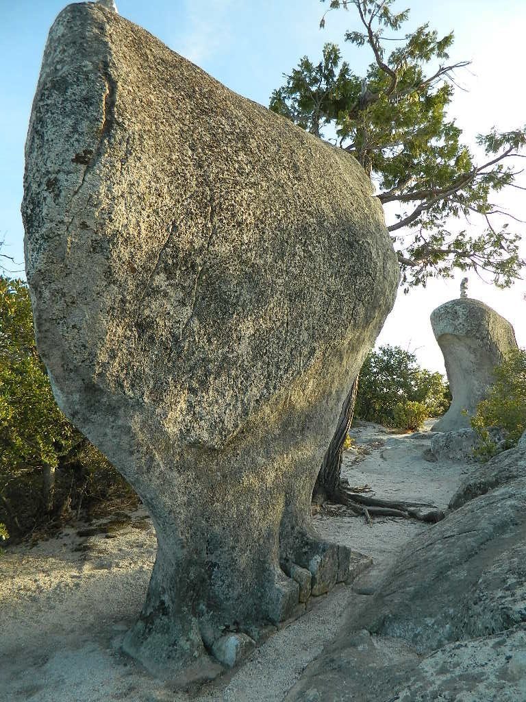
Decimated forest at Bald Rock: Trail Closed 2020-2021Bald Rock, North Sierra Nevada Mountains
Big Bald Rock
elevation: 3350′
2021: CLOSED due to wildfire damage
Bald Rock Trailhead, Berry Creek, CA Located above Lake Oroville and near the Middle Fork of the Feather River, this well known trailhead is a 1 mile (short, steep & sweet) climb on top of granite rocks – to a wonderful view over the North Sacramento Valley. Dirt parking lot w/ bathroom in a forested setting. Can get muddy during winter. Seasonal creek runs along first part of the hiking trail. Locals like to party here at night. Families hike during daylight and sunset hour. Trailhead sign is well marked on paved Bald Rock Road, about 6 miles from the Oro Quincy Highway.
The granite dome hike (above) is often confused with a neighboring trail to the south, called Bald Rock Dome, located at the granite gorge of the Middle Feather River. A much longer hike w/ a canyon view, switchbacks, and longer dirt road access…..
Another dome hike in the same area as above, but on the other side of the pavement; gravel parking lot, and trailhead via dirt road; a right turn off Bald Rock Road (when going north). Near the residential forest of Berry Creek, CA
The official map for Lake Oroville SRA has a granite dome marked as Little Bald Rock @ 3334′ elev. The USDA Plumas National Forest map has both a Little Bald Rock and a Bald Rock Dome (3509′) located on this side of Bald Rock Road.
As you can see listed below, giant granite domes or mountain peaks or river canyons often have the generic name of ‘bald rock’ There are also a heck of a lotta Bald Mountains inside the golden state.
also, in the vicinity –
Bald Rock Canyon is downstream from the big waterfall, Feather Falls, on the Middle Fork of the Feather River; This stretch of wilderness waterway is called Feather Falls Scenic Area which includes, Milsap Bar Campground; Maybe be accessible, by 4×4 and steep foot trail – from the opposite side of the river. Off Lumpkin Road, which is off Forbestown Road (@ 162 above Lake Oroville) 2021: CLOSED due to wildfire damage
Bald Rock Peak (elev 7166′) a mountain peak near Chilcoot Campground and Frenchman Lake, N of Hwy 70 in East Plumas National Forest
Bald Mountain (5780′) off the Skyway, next to Stirling City, CA
Fire Lookout CDF, weather cam & antenna site
On the north side of the lake is Grass Valley Bald Mountain (5906′ elev) in between Black Rock Creek and the northern shore.
The La Porte Bald Mountain Peak (5906′ elev) is located in dense forest, in Plumas National Forest; In between LGVR and the town ofLa Porte, CA 4959′
Area accessible via a long and curvy La Porte Road, which closes in winter on the north end (East Quincy). This Plumas County area is popular w/ snowmobiling due to the amount of snow they receive.
Bald Mountain Range, due north of Truckee and Stampede Reservoir. Near the CA / NV border. Babbitt Peak @ 8790′ is the tallest peak within this range. Historical Henness Pass Road passes through this area.
Bald Mountain Peak @ Sugarloaf Ridge State Park (2279′ elev) located in between Napa Valley and Sonoma Valley.
M22 Mendocino Forest, eastside Forest Route #M22 is on Valentine Ridge, east of South Yolla Bolly (elev 8092′) and near Bald Rock Mountain (7762′). Road M-22 is also known as Bald Rock Road. Mendocino National Forest – Two trailheads up this way are Ides Cove and Horsepacker. M22 wraps around south to Ball Rock @ 6663′ elevation, near Rocky Cabin Campground. Cold Springs Guard Station, Ball Mountain 6557′ and Whitlock Campground are on this route. Much this region has been burnt in recent wildfires of 2020 #ElkhornFire
Popular, local snow ski destination for “the southland”; south of Pasadena, near Rancho Cucamonga, in the San Gabriel Mountains.’
Bald Mountain Road, also known as Inyo Forest Road #01S05, near Indiana Summit and the Mono Craters. East of the Eastern Sierra & US 395; south of Mono Lake, California.
Bald Mountain Road, near Bummerville, California.
Gold Country Sierra Forests, East of Hwy 49 @ Jackson, CA
Bald Mountain Road, rural ranches & residential;
and Bald Mountain Nursery in Browns Valley, near Marysville, CA
Bald Hills Road, Redwoods NP
Bald Hills Road, Northern California
Well- traveled, graded dirt road connecting the Redwood National Park to the Klamath River @ Hwy 96. Primitive camping, but check on fire restrictions. Must have camp fire permit. Active logging roads on National Forest land, so weekdays could be busy: watch for equipment and big trucks.
Mountains of Northern California / NorCal Mountain
California sure has a lot of mountains. West Coast land is home to the tallest Sierra Nevada range, plus the Cascade range, which extends northwards to Canada. (Many of which have volcanic peaks.)
We break down all the mountainous regions in the north part of the state below w/ links, topo maps, lakes, rivers, wilderness, parks and forests. Small towns & cities are linked in red.
Sacramento River, above Lake Shasta
North Coast Mountains
Redwood forests and rivers are what make up most of the Northwest part of California, just below the Oregon coast. Logging and fishing are the big industries up here. Lumber mill towns and camps still exists today. Wilderness areas, dirt back roads, river kayaking, stream fishing, camping and real wild indians. Oh yeah, and Big Foot!
The landscape in more dramatic along the North Coast of California, as the steep rocky terrain tumbles into the sea w/ the San Andreas fault running parallel to the shore. Marine life, rocky shores w/ small towns. Del Norte County & Humboldt County. Wild rainy weather, at least half the year; fog and sun the other half.
The furthest north is Siskiyou County, which borders the state of Oregon. We have the Klamath River flowing south into California, with plenty of mountain peaks, forests and wilderness. Interstate 5, Highway 3 and Highway 96
Pacific Crest Trail passes through the area and backpacking is common (all year long). Notable spots – Klamath Knot and The Eddy’s. Prominent Mount Shasta is actually situated inside Siskiyou County, not Shasta.
Giant Mount Shasta is located inside Siskiyou County, and Shasta County & Trinity is everything located to the south of it. Interstate 5, Highway 3 and Highway 299. Recreational lakes, rivers and streams, and off roading trails.
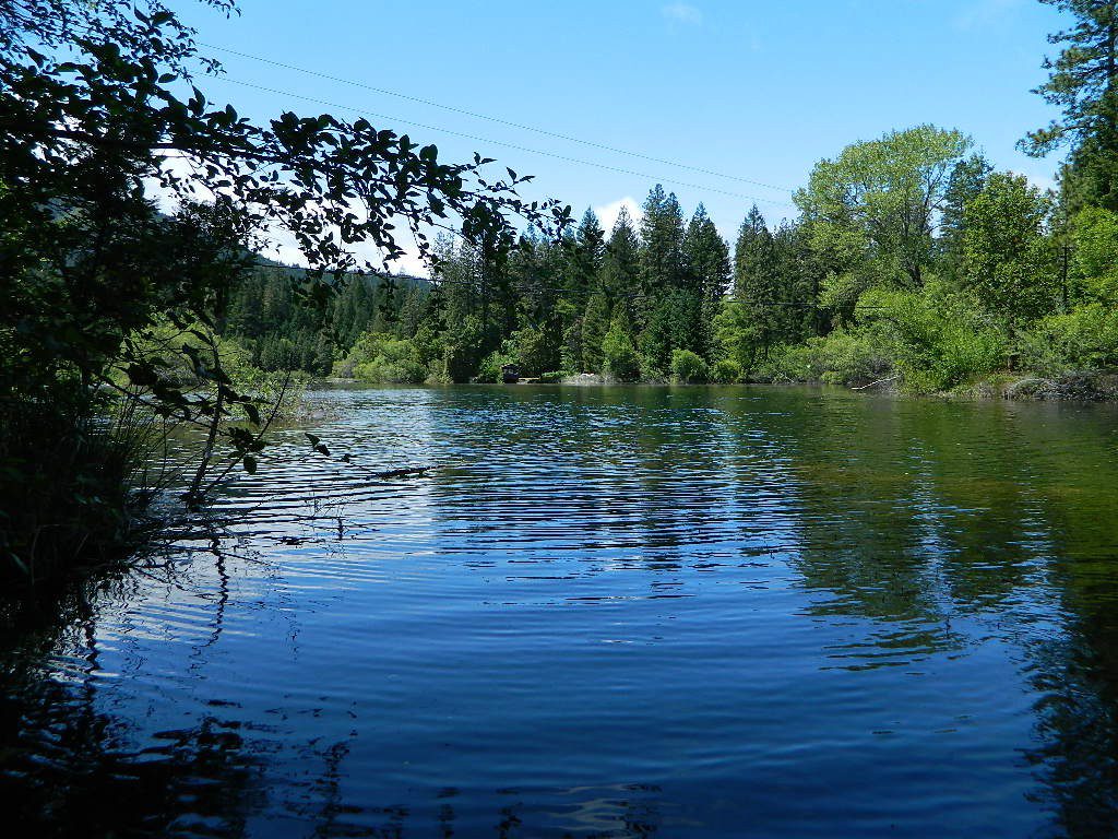
Waterfalls, hot springs, mountain biking and stream fishing can be found within this region. Mining history and museums are primarily situated around Weaverville. Houseboats and boat rentals can be found on the big reservoirs. Whiskeytown was totally toasted in wildfire of 2018. Alpine lakes, granite spires, campgrounds and cavern tours, all located along the Interstate 5 corridor.
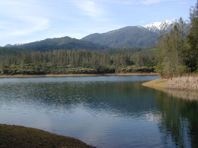
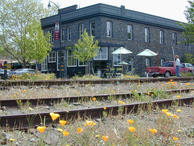
Beautiful park setting @ Lee Fong Park, in historic Weaverville, CATrinity River Camping, Douglas City, CA
Mendocino Mountains
Coastal mountains located above the Napa & Sonoma wine country. US 101 & Highway 20. Rivers, forests, wilderness and redwoods is the key terrain that make up the Mendocino County mountains.
There is a fair amount of off road trails and dirt roads located in and around Mendocino, so you can expect to see 4x4s, dirt bikes and toy haulers on the east side of the mountain range. The coastal side of the Mendo National Forest will have the rivers and redwood parks.
Northern Sierra Nevada mountains is where the granite rock of the Sierra meets to volcanic rock of Lassen Volcano. Butte County and Plumas County is the Feather River drainage, all flowing south from Mount Lassen.
Pacific Crest Trail is routed through Bucks Lake Wilderness and the Feather River Canyon, so backpacking is popular. Highway 70
Technically speaking, the Susan River is the top waterway of the Sierra Nevada mountains. Lassen County spans the distance from the Nevada state line, west to Plumas forest and the Feather Rivers (all 4 forks).
Lassen Peak is the middle of the National Park and the National Forest totally surrounds that. Numerous lakes, hiking trails, wilderness areas and dirt roads make up this huge forested area. Snow-mobiling is popular in winter months around the town of Chester.
The far northeast corner of the golden state is the remote cattle range lands of Modoc Country inside Modoc County. Drier than the rest of NorCal, the high desert sage brush meadows, a few lakes and pine forest mountains. Highway 299 & US 395
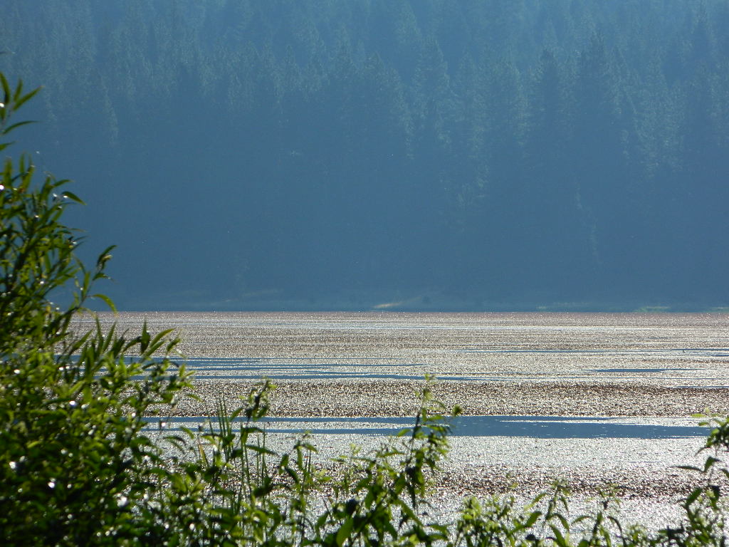
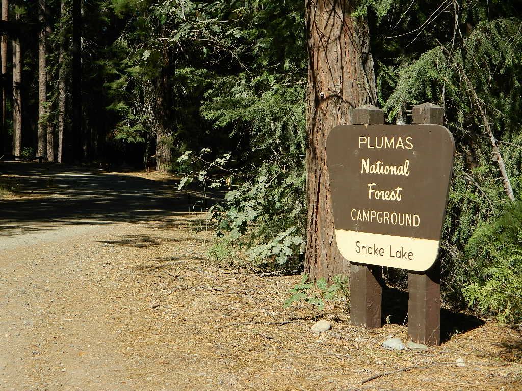
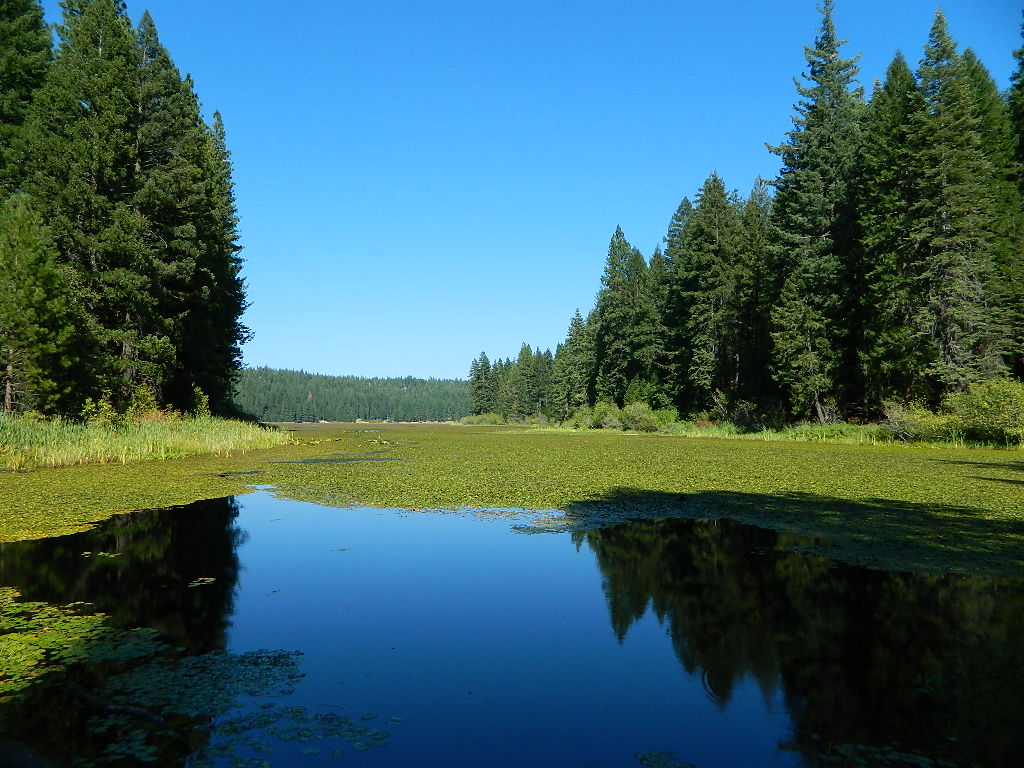
Don’t let the name frighten you, Snake Lake is a very scenic fishing lake – but you will NOT want to swim in it. Lily pads cover the water surface most of the year so it is considered “frog heaven” during the warmer months. NFS has been upgrading these camping facilities recently. Snake Lake Campground has new picnic tables, camp fire rings, bear boxes, vault toilet and expanded equestrian camps and corrals. No piped water, so bring your own. A bucket & shovel are always required for proper campfire maintenance.
One of the best campgrounds in the region, Plumas National Forest and close to Quincy, CA. Paved road access means an easy 3 miles off the main road (Bucks Lake Road, aka Oroville-Quincy Highway, Oro Quincy Hwy). 7 miles west of the town of Quincy, the green, metal, one-lane bridge is easy to spot, but the small sign for “Snake Lake 3” is easy to miss, if driving 50 mph or faster. Turn off is located in between Quincy and Meadow Valley.
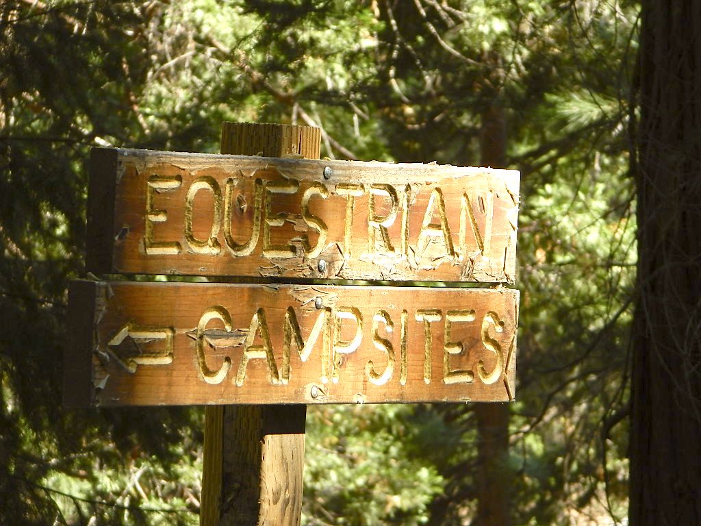
Equestrian camp sites, horse corrals, OHV trails, group picnic areas. Hiking, fishing, mountain biking, off roading, horseback trails, kayaking or canoe.
Snake Lake Campground NFS
• Elevation: 4200′
• Number of Sites: 17
• Vehicle Accessibility: small RV
• Campsites Reservation: No
• Camp Fee: Yes
• Length of Stay: 14 Days
• Season: May – October
• Trailheads: OHV, Horse & Winter Rec
This lake camp serves as a central hub for travelers, motorcyclists, campers, hikers, fishermen, off roaders and equestrians alike. Mountain biking & OHV trails go off in numerous directions and horseback trails are readily accessible. Winter Recreation Area means snowmobile trails too.
Another smaller lake, Smith Lake, is a short drive or short hike (on dirt road) further into the woods, with the Butterfly Valley Botanical Area neighboring it.
another Snake Lake?
Another SNAKE LAKE exist inside Plumas National Forest. The smaller Snake lake can be accessed by off-road trail Road#12E66, off the Gold Lake Highway; 4×4 is required to reach this one. West of Gold Lake in the Lakes Basin Recreation Area. The PCT is routed nearby one mile away.
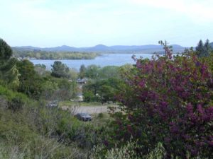
CLEAR LAKE, California – aka Clearlake
North of San Francisco. Large freshwater lake, in the hills above Napa/Sonoma wine country. Vineyards, residential, small towns and parks surround the large lake. Boating, fishing, and retirement living.
Upstream from Mill Creek waterfall sits a small Clear Lake, at the south end of the Warner Mountains. Lake is hiking distance from camp @ 5680′ elevation. Good fishing destination, but only accessible by trail, foot or horseback.
Far Northern California
Clear Lake Reservoir is a National Wildlife Refuge
20,000 acres of open water surrounded by over 26,000 acres of upland bunchgrass, low sagebrush, and juniper habitat. Nearest town is TuleLake, CA near the Oregon border.
Plumas National Forest Camping – Primitive Camp Sites
Spanish Creek, Quincy, CA
Plumas Forest Camping
North Sierra Nevada, Northern California
Listed below are primitive campgrounds w/ minimal facilities or open camping areas in Plumas National Forest. Plumas has excellent fishing as the big rivers & numerous creeks run thru this northern Sierra Nevada landscape. Open camping is allowed on almost any dirt road w/ a current campfire permit
Brady’s Camp
[on Pine Creek near Argentine Rock]
near Quincy, CA – east on Squirrel Creek Rd. & go 8 mi. to the campground. Elevation 7200′ / Open May – October
Bucks Lakehas numerous NFS Campgrounds and PCT access; Overall elevation 5000′ w/ abundant boating, fishing and hiking. Snow in winter closes roads. Cabins, marina, lodge, restaurants. Bucks Lake Wilderness, Gold Lake, Silver Lake
Deanes Valley Campground
[along Rock Creek] Hwy.70 Quincy, go 3.5 mi. west on Buck Lake Rd. Head south & 7 mi. to the campground. Elevation 4400′ / Open April – October
Backpacking trails w/ dirt road access. Above Chico, beyond Cohassett; on the border of Tehema Co. and Butte Co. (Lassen NF & Plumas NF)
Inskip, CA – Way up beyond the Ridge, well past Magalia and Stirling City – find dense forests, dirt roads and camping. Philbrook Reservoir w/ West Branch Campground NFS. Elevation 5546′
Ohio Valley – Seneca Road
[off Hwy 89 to southside] Primitive forest camping near Lake Almanor. ATV trails, hunting. Creeks and river camping closer to Seneca. High clearance or 4WD may be needed on these dirt back roads – depending on snow and mud. There is plenty dirt roads back here to explore.
Snake Lake
[good fishing area] Hwy.70 Quincy, go 5 mi. west on Buck Lake Rd. Head north & 5 mi. to the campground at the lake. Elevation 4200′ / Open April – October
Unbeknownst to most California tourists, the “Shasta” region encompasses most of the northern part of the state. From the majestic Trinity Alps to raging Burney Falls; the huge, snow capped peak of Mount Shasta can be seen by half of NorCal. From the high country on the north side, to the Sacramento Valley on the south side. Shasta dominates this region all around Redding and I-5.
Northern California has numerous camping lakes, most of which are very RV friendly. Boating, fishing, hiking, kayaking & even houseboat rentals are available at Lake Shasta.
The Big Lake you see from Interstate 5 is named Shasta Lake, the main drain from the northern reaches of Oregon. The big reservoir in the middle of the North State.
Whiskey Town Lake is west of Redding, with Trinity Lake tucked way back up in the hills – N of Weaverville.
You could spend a lifetime exploring all the lakes in the Shasta area. On foot, by bike, with a fishing pole and a pack llama. Maybe just an old funky motorhome.
Road 308 Ivory Mill Road. Located on the EAST SIDE of the coastal mountain range, west of Stony Gorge Reservoir.
South Fork of Elk Creek, California
Lodoga Stonyford Rd #306 – also known as just plain Stonyford Road, skirts the coastal foothills in a north south direction, on the east side of the range. Oaks and ranches, livestock grazing and fences everywhere. CHP out in force, so watch your speed (55). Public lands and forests are up the hill, above the valley, on the dirt roads. Free camping, off roading, hiking, creeks, lakes, mountains.
Drive up paved Road 308 passing the ranch lands and private properties.
Just inside the National Forest boundary, 308 peels off sharply to the left, uphill and steep, super sandy. The views over the valley, hills and reservoir are epic, but the dirt road is fluffy dry dirt, tight curves, no guardrails. A long and winding track, with very little spot to turn around. Maybe designated as OHV route?
This whole area is where the Ranch Fire of 2018 was burning; contained at road 308. The wildfire burnt half a million acres in Mendo NF (the largest fire in California history). Some of these roads may be closed off now. Call the rangers for current, up-to-date accessibility!
So… back at the National Forest boundary: Straight. Take the right fork instead, which goes straight into the forested canyon, up the creek. Elk Creek, south fork coming from the higher peaks above. This pleasant forest drive is called Mendocino Rd #20N01 and it climbs upward with hairpin turns; continues up to the top of the forested ridges @ 5000’+ elevation.
Wildflowers in Spring. Snow in winter. This back route may have been paved once in 1960, but it is nearly back to dirt again in most sections. Suitable for passenger car travel at slow speeds. Unless of course, it is raining or snowing, then 4WD may be best. And being that this is real Northern California territory, rain and snow are annual.
SPRINGTIME: Free Camps and Campfires on the Back Roads
Dispersed camping is allowed in this region with a valid fire permit.
Various camping spots near roadside, after mile 8. Reset trip meter when your turn off main drag (Lodoga Stonyford Road).


 Hiking trailheads are accessed from all sides -On the east side you have Trinity Lake & Trinity River w/ Highway 3 running lengthwise in a north-south direction. Hwy 299 runs east-west along the south side of the wilderness. Klamath River Hwy 96 lies on the west side of the wilderness. Salmon River, Scott Mountains and Cecilville are north of the alps.
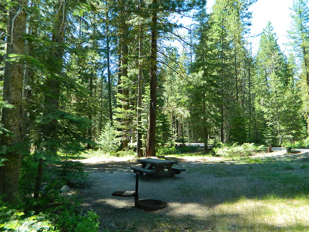


 On the north side of the lake is Grass Valley Bald Mountain (5906′ elev) in between Black Rock Creek and the northern shore.


 Upstream from Mill Creek waterfall sits a small Clear Lake, at the south end of the Warner Mountains. Lake is hiking distance from camp @ 5680′ elevation. Good fishing destination, but only accessible by trail, foot or horseback.