Tag Archives: motorhome

Gurnsey Campground

bestcampgurnsey

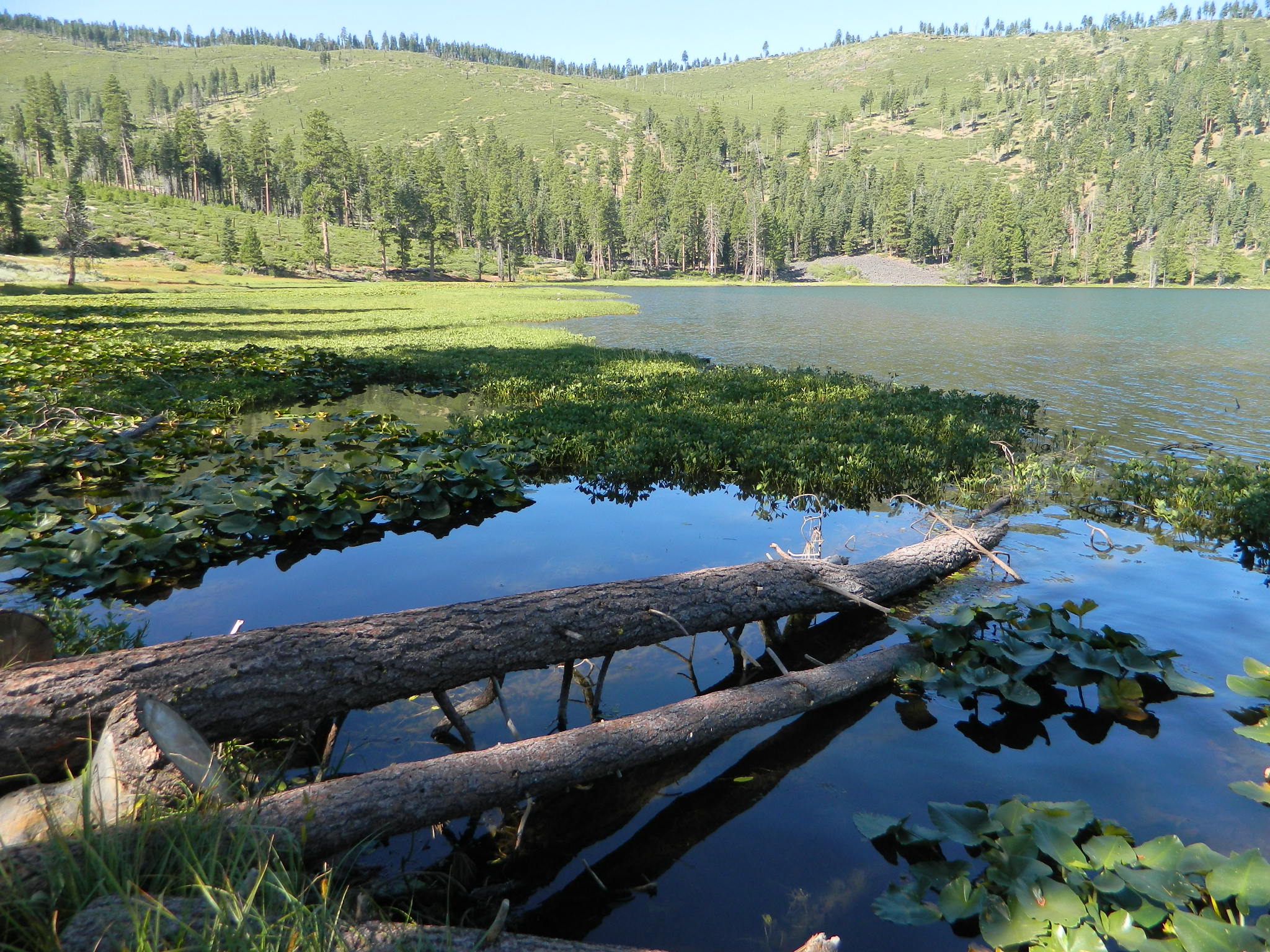
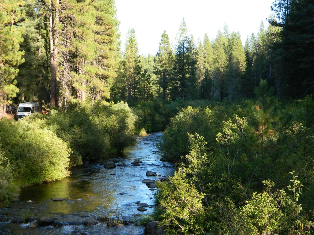
Gurnsey Creek, Lassen Forests & Fishing

NFS Gurnsey Creek Campground: W of Chester, CA

CLOSED 2020-2022: Campground is undergoing some serious work with removal of hazardous trees and forest clean up. NOTE: DixieFire 2021 did not damage this portion of the forest highway (CA 36)

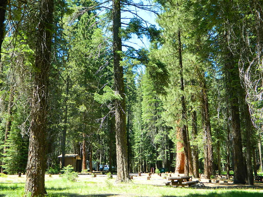
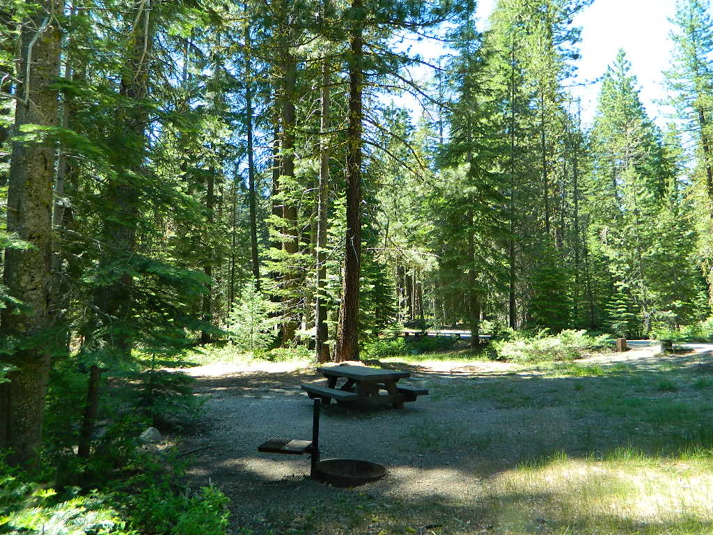
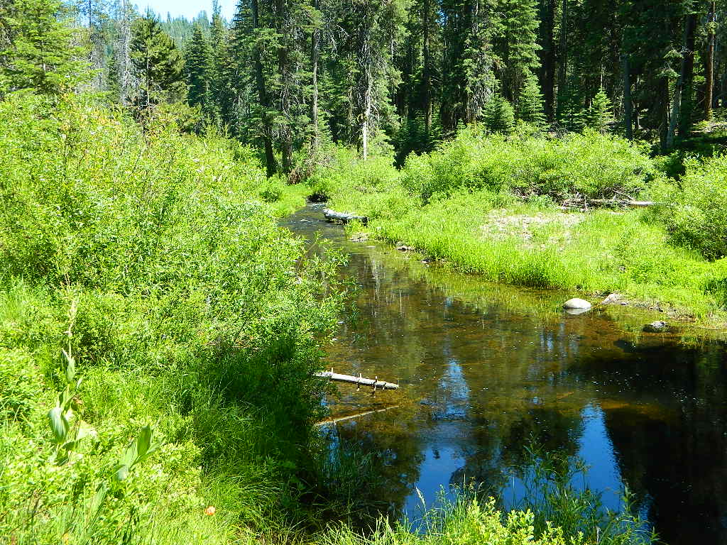
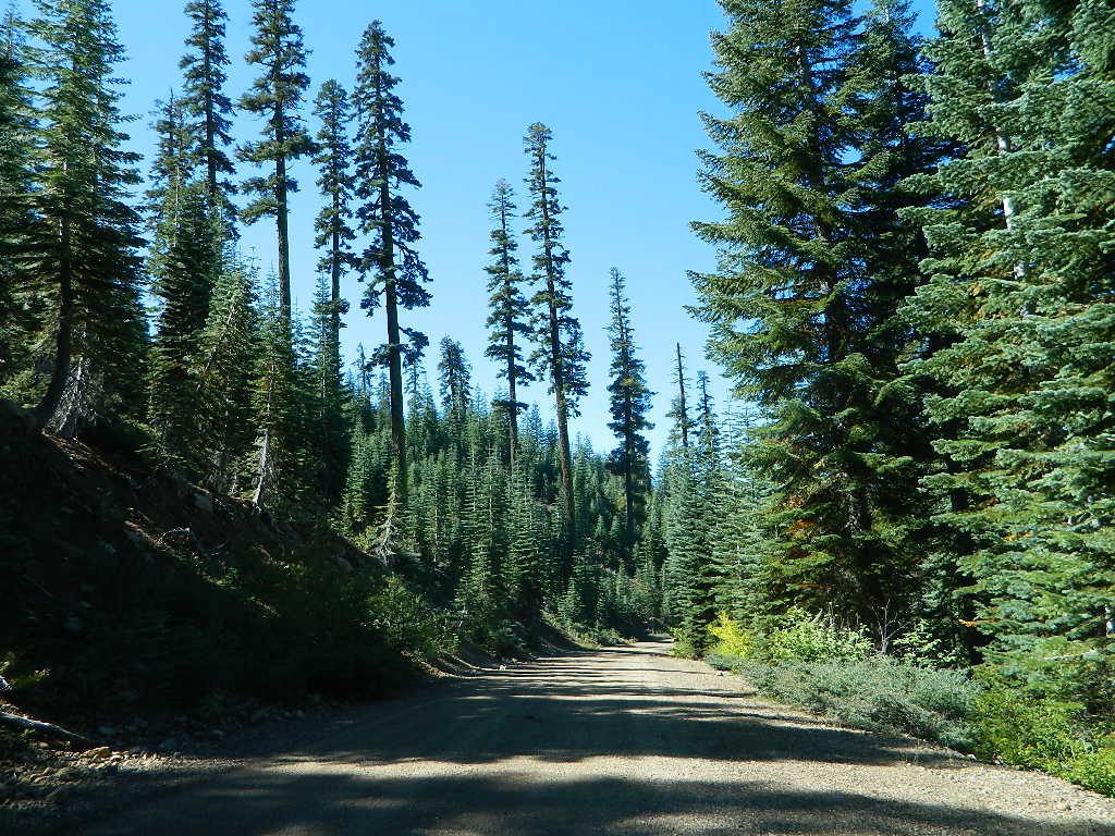
A developed USDA campground along forested Highway 36, near the junction of Chico’s Hwy 32. This stretch of 36  overlaps with north-south Lassen Hwy 89. Awesome fishing creek, meadows, hiking trails and mountain biking trails nearby. Paved, level camp sites w/ easy access to Lassen Volcanic Park and the National Forest.NFSlogo

This is a popular camp just south of the Lassen National Park boundary and 5 miles east of Child’s Meadow Resort. Car camp, tent camping, some spaces for large motorhomes. Plenty fishing, hiking and mountain biking trails.

Gurnsey Creek begins in Childs Meadows, north on Hwy 36 – just outside of Lassen National Park 

gurnseycreek

Gurnsey Creek Campground, California

on Gurnsey Creek; Campground open May-October
(depending on snow)
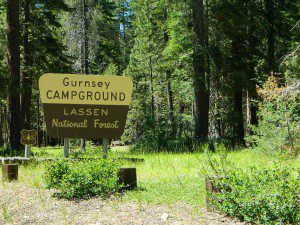
gurnseysign

Lassen Creek Camping

52 camp sites on Gurnsey Creek @ 4700′ elevation; vault toilets, creek and piped water, bear boxes; first come, first serve camping – and reservations are also accepted

GURNSEY CREEK CAMPGROUND

Max Camper Length: no limitations
Shady forest camp sites w/ creek. Numerous fishing spots. Close to Lassen Volcanic National Park, Chester and Lake Almanor. Backpackers, day hikers and horseback riders will enjoy the PCT nearby. Pacific Crest Hiking Trail runs to the east side of this campround.pct

CHESTER, CA ranger
Rangers Office: 530-265-4531
Almanor Ranger DIstrict, Lassen NF

GROUP CAMP RESERVATIONS NFS

2 reservable Group Camps are available at this campground. Group Site 1 can accommodate up to 56 people; Group Site 2 can accommodate up to 112 people.

Free Camping nearby.
If you are seeking primitive camping in this Lassen area, look for dirt roads in the USDA National Forest lands, which surround the National Park boundary.

to the west – Lassen Road #14 – the Blue Ridge, north off of Hwy 89 @ Mineral.

to the south – Yellow Jacket Road #29N48 around Turner Mountain, which is south-southwest of Mill Creek.

to the east – Lassen Road #10 – head north off of Highway 89 in between Chester & Westwood.

see also – Lassen Lakes
lassen park mapHighly advised: a real map, a printed ‘hard copy’ shows both the National Park and the National Forest of Lassen on one map – with topographic features, all mountain peaks, creeks, lakes, trailheads, plus all dirt and paved roads.

Trailheads near Gurnsey Campground lead out to –

NEARBY TOWNS:


View Larger Map

Gurnsey overview
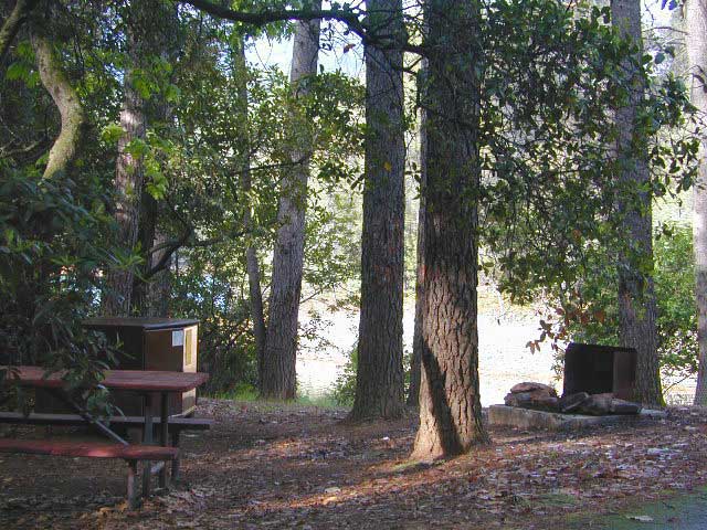
Mature forested, creek campground, close to the highway

Oak Bottom Campground

Oakbottom Campground

Whiskeytown Recreation Area:
Oak Bottom Campground

Carr Fire 2018: some portions of this lake, shore, roads and trails may be closed due to the recent wildfire

The large, level, paved campground is right on the north shore of Whiskeytown Lake, on Hwy 299 – E of Redding CA

hiker

101 walk-in campsites
22 RV sites
elevation 1200′

  • boating
  • camping
  • hiking trails
  • kayaking
  • marina
  • mountain biking trails

Campground Reservation on NRA

Camp Sites near Water

Group Camping can be reserved at
Whiskey Creek Group Picnic Area
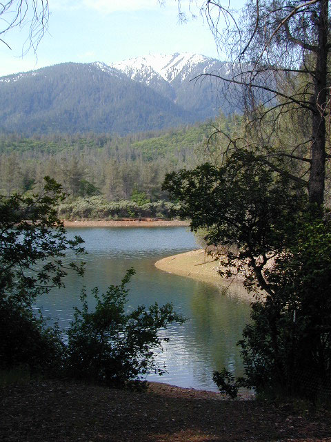
3 group camping sites with excellent views of the lake and mountains, on the northeastern shore of Whiskeytown Lake.

nearby towns:

Views Westward

canoe

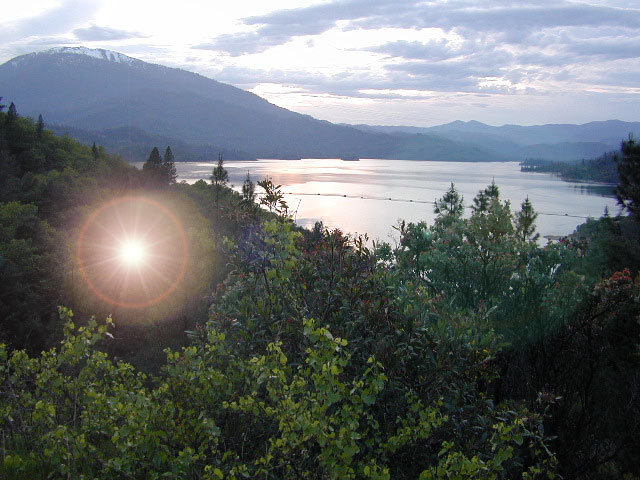
Lake Sunset Whiskeytown

And by golly, there is another

OAK BOTTOM CAMP in Northern California,
way over west near Marble Mountain Wilderness

camp

Salmon River @ Somes Bar:
Oak Bottom Campground NFS

elevation 700′
26 sites
No electricity, water or sewer hookups

Six Rivers National Forest – Oak Bottom Campground loops around a forested hillside with large trees providing ample shading for multiple sites within the campground. A variety of wildlife makes its home in the area.

Located off the main highway, on a side road, with the epic Salmon River! This NFS campground is popular with whitewater enthusiasts in the spring. Rafters, kayakers. Many challenging rapids ranging from Class 3 to 5 are available. Swimming is also popular in the summer and numerous river access areas are a short drive or walk from the campground.

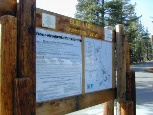
Blue Lakes California

Blue Lakes
Hwy 88 @ Carson Pass
South of Tahoe

Blue Lake California
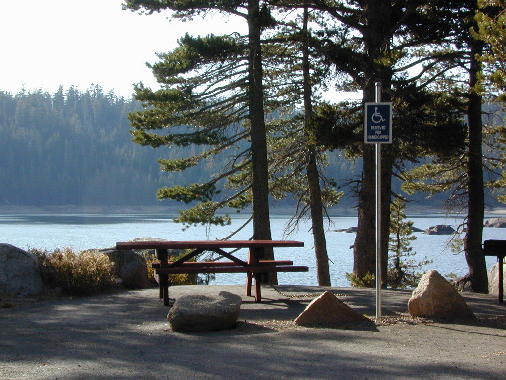
ADA Camping (Americans with Disabilities) Handicap accessible camp sites at Blue Lakes, near Hope Valley, CA

Blue Lake Campgrounds

highest lake campgrounds in the vicinity

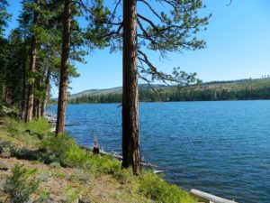
Eldorado National Forest in Amador Ranger District; a forest south of Lake Tahoe in the central portion of the Sierra Nevada mountain range. This set of scenic, alpine lakes sits in between both Eldorado, Toiyabe National Forests and the Mokelumne Wilderness. But please take note that the Blue Lake facilities are owned and operated by utility company PG&E

No Reservations.
most camp sites are available first-come, first-serve

RV limitations: 30 feet

69 miles east of Jackson, CA on Highway 88 and then another 12 miles south on Blue Lakes Road. This area is close to Hope Valley, south of Lake Tahoe, CA

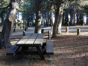
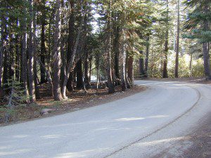
Blue Lakes consist of several developed campgrounds. Blue Lakes Rd# 13 is a well signed, paved road off Hwy 88, just east of Carson Pass (8560′ elev). The route is closed during winter snow, while it serves as a winter recreation area. The main paved road becomes dirt near the campgrounds. A dirt road continues past the lakes and south to Deer Creek and meets w/ Hwy 4 near Ebbett’s Pass.

RVblue lakes eldorado

RV campers, fishing folks, hikers, kayakers and disabled travelers like this lake camp area due to the easy access, paved parking and campground amenities. Handicapped camp sites are also prime lake front locations.

Group Campgrounds are reservable. Picnic Areas, Group Sites and campfire rings. Piped water, bear boxes and vault toilets. No RV hookups, no dump station, no showers. Unimproved boat ramps are available at Upper and Lower Blue Lakes.

Lower Blue Lake Campground
elev. 8055′
camp sites: 16

Blue Lake Dam
camp sites: 25

Middle Creek Campground
camp sites: 5

Upper Blue Lake Campground
elev. 8136′
camp sites: 32

Overflow Camp
camp sites: 34

hikesBackpackers and day hikers: Sierra trailheads out here lead south into the Mokelumne Wilderness Area. The infamous Pacific Crest Trail also passes thru this high elevation region: PCT access @ Carson Pass, Upper Lake & Tamarack Lake

recreation –PCT

  • backpacking
  • boating (non-motorized)
  • camping
  • fishing
  • hiking
  • horseback
  • kayaking

local topographic maps:

nearby townsLower Blue Lake


Tahoe Back Roads

driftwood

another blue lake?

Yep, there is more than one Blue Lake in California

Blue Lake Modoc
Blue Lake Modoc NF

Modoc Blue Lake

BLUE LAKE CAMPGROUND
NorCal region of the South Warner Wilderness in Modoc National Forest. That’s way out near Alturas. Likely, CA is the turn off US 395. Northeast California, real seclusion.

EASTBOUND Paved Road #64 is Jess Valley, which leads along the Pit River, cool volcanic cliffs, and up to forested Blue Lake Campground, elevation 6051′

Wild Blue Lake
Wildlife viewing @ Blue Lake Modoc

hiker

Donner Blue Lake

DONNER PASS – Sierra Nevada
Interstate 80

BLUE LAKE CAMPGROUND
i80 Donner Pass, near Truckee, CA; a PGE Campground w/ 4×4 access and hike-in only. First come, first serve. No tables or restrooms, elevation 5900′

fish

camp

Lake County – Blue Lakes

THE LODGE AT BLUE LAKES
Mendocino Lake Country

Highway 20, East of US101

Lake side resort w/ boat rentals and fishing, near Upper Lake, CA
elevation 1357′

A small resort w/ hotel suites and a lakeside setting w/ abundant nature. Two small lakes, kinda close to the highway. Non motorized boats only, kayaks, paddle boards, canoe, swimming, birdwatching, bike paths and fishing.  Wedding venue next to lake. Wineries, restaurants, and a casino nearby.

canoe

Humboldt County: Blue Lake, CA

Blue Lake, California  95525
Historic lumber town, located East of Arcata along the Mad River. Accessible via Highway 299

foggytown
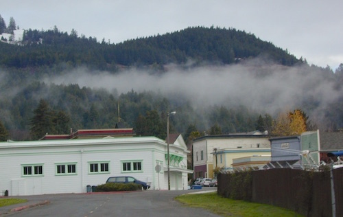
Coastal fog is common in this neck of the woods.

pinetree

Free RV Camping

Free RV Campsites / RV Campsite California

picnicThe best free camping in California for RVs & motorhomes is NOT the WalMart parking lot in some random town, but the gems that you find here on Total Escape.

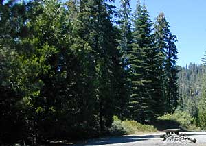
The California back roads is where it’s at. Star filled skies, fresh cedar scents & tall pines, plus the awesome views. Primitive camping at it’s best, with your kitchen sink. No hook-ups, no fees, no problem.

the back roadscamptruck

So, if you are one of those that are terrified of driving your big luxury camper on dirt roads, these may not suit your taste. But if you crave the back country camps with your RV, then you might enjoy the list below.
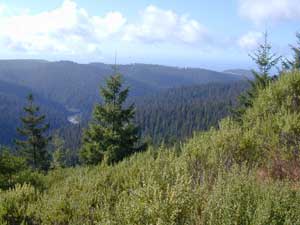
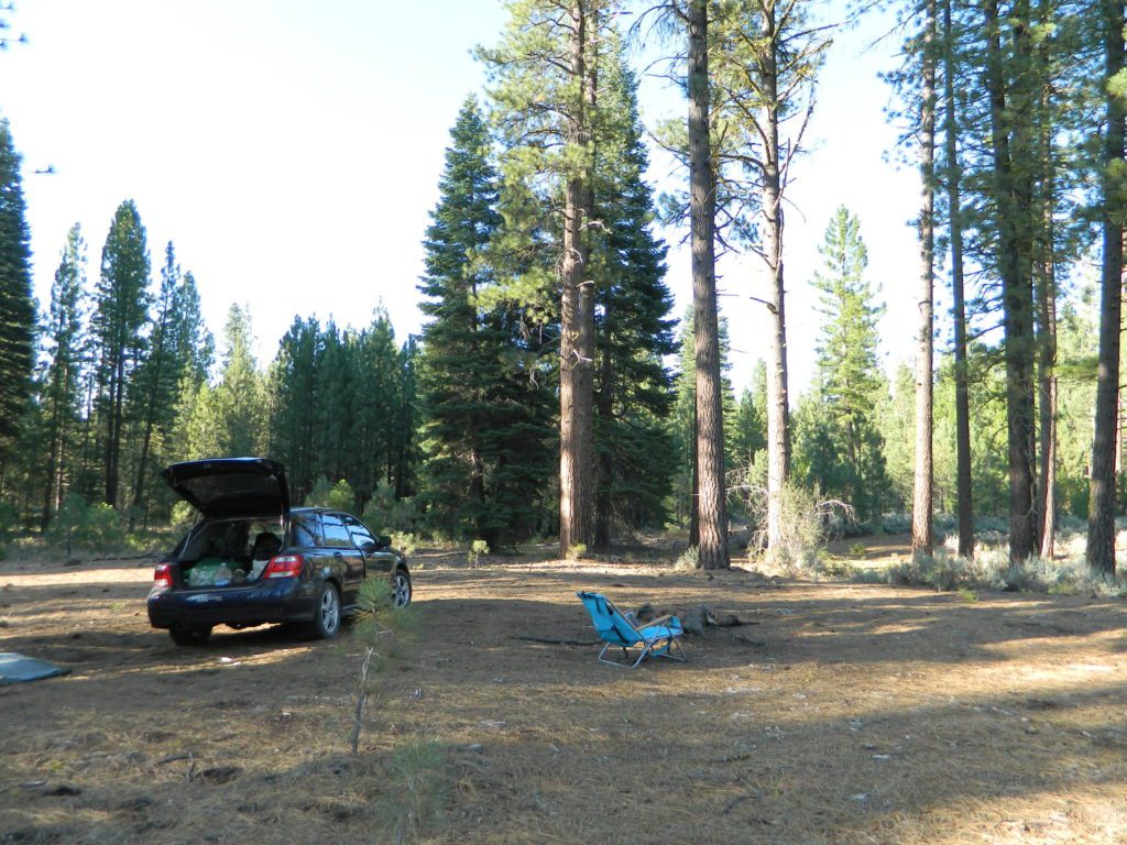
Still many dispersed, primitive FREE camp sites to be found – but you’re not gonna find them on those big web sites, that everyone goes to.

check

no hookups, no paved stalls, no dump station

These are camping areas, that you can pull into anytime of the night or day & find a flat spot. Some places may have picnic tables or campfire rings, but not all. No OHV parks, no large developed campgrounds, just dispersed FREE camp sites on the back roads of Cali.

Camping National Forest
Somewhere out near Dinkey Creek in Sierra NF

Dispersed Camping for RVers in California:

camp

SoCal Areas & Deserts

campersatcalkin
Calkins Flat on Kern River

Southern Sierra Nevada California

Eastern Sierra California

uticasummer

Central Sierra Nevada California

RV

Rd #54 Tahoe
Rd #54 – South of Lakes Basin Recreation Area

Northern Sierra Nevada Mountains

Free North Lassen
Lassen Rd #32N12D, 1 mile past Twin Bridges

Northern California

LassenWestRd17
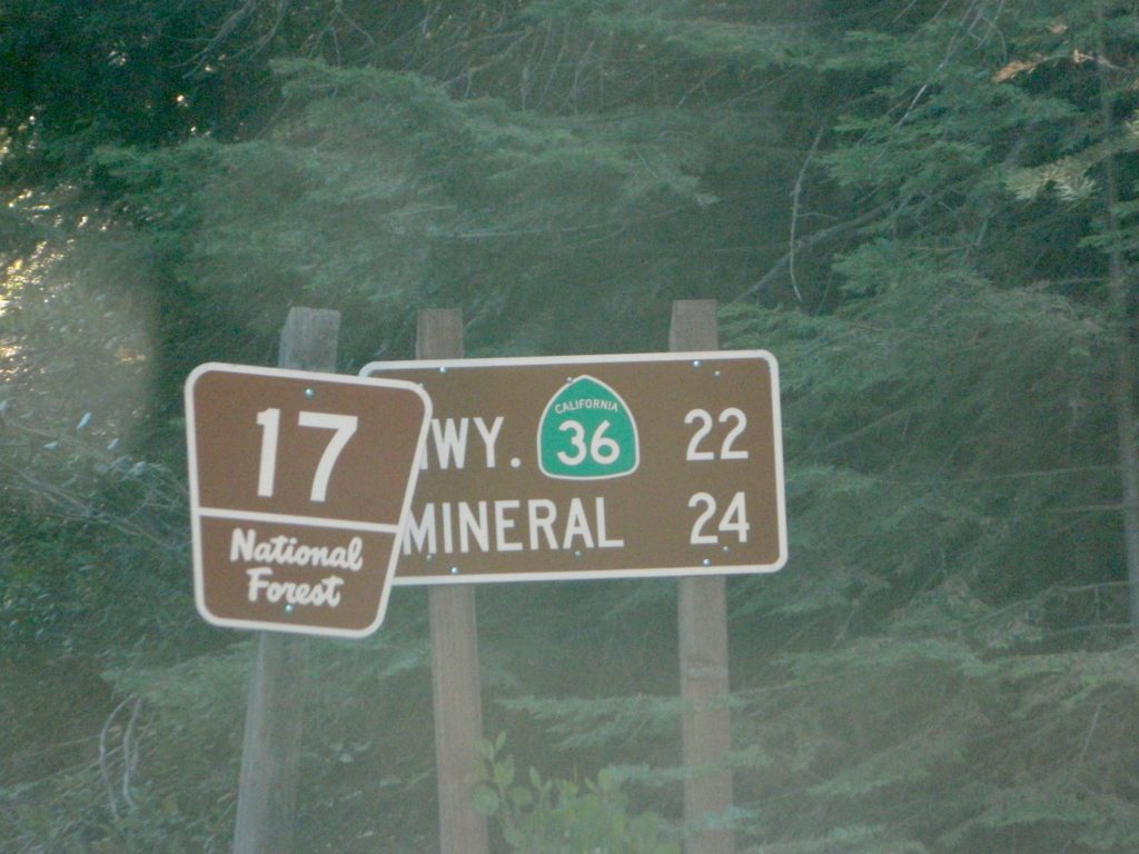
Lassen Forest Road 17 @ Hwy 44
vanlifenorcal
Van Life, on McCloud Creek @ Algoma


Balch Park

Balch Park / Sequoia Park

Balch Park Campground

BALCH PARK campground is on a first come basis; no campground reservations needed.

2021 – THIS CAMPGROUND IS CLOSED indefinitely,
due to the Castle Fire 2020

Balch Park open May to October
Park info # 559 539-3896

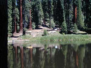
Hedrick Pond lined w/ Sequoia trees

Balch County Park is right in the middle of Mountain Home State Forest, which is within the bigger Sequoia National Forest (aka Giant Sequoia National Monument). But don’t let all the bureaucracy mislead you, this is an ideal park and location, well worth your trip. The campground is the most developed one within the area – with paved roads, RV spaces, flush toilets and a fee to go along with all that. Even gotta fishing pond.

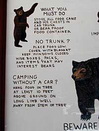
  • Bears are a big deal in these neck of the woods. Please store all your food properly to avoid a un-welcomed visitor
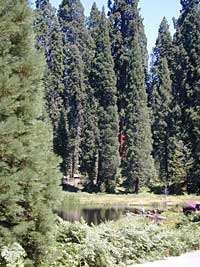
  • A Sequoia Grove is nearby with plenty of creeks & meadows.
  • Trailers not recommended due to the long curvy road leading up the mountain.

Balch Park & Campground NOT TO BE CONFUSED with utility company residences of BALCH CAMP between Pine Flat & Blackrock Reservoirs


View Larger Map

Helpful Maps:

Nearby cities & towns:

campground elev. spots veg toilet water fee
Balch Park
559-539-3896
6500′ 71 pines flush piped yes no reservations
first come basis

DSCN0021

Campground San Bernardino

whitecliffs

Big Bear – San Bernardino National Forest Camping & Campgrounds

areas include:
Big Bear Lake, Fawnskin, San Gorgonio, Lake Arrowhead, Forest Falls, Green Valley Lake & Idyllwild

Listed below are all the San Bernardino National Forest campgrounds, public lands for outdoor recreation. SoCal campground reservations can be booked online with the linked campsites below.

Big Bear Campgrounds near Big Bear Lake & Fawnskin area

campground elev spots veg toilet water notes
Applewhite Campground 6800′ 42 pines vault piped disabled access, RV 30′
Barton Flats Campground 6300′ 52 pines vault shwrs disabled access, RV 45′
Big Pine Flats Horse Camp 6800′ 17 pines vault piped Way back 3N14, year round
Cold Brook Campground 7000′ 36 pines vault piped RV max 25′
Crab Flats Campground 6200′ 29 pines vault piped 3N16, Green Valley Lk
Dogwood Campground 7000′ 90 pines vault piped disabled access, RV 22′
Green Valley Campground 7000′ 37 pines vault piped Green Valley Lake
Hanna Flat Campground 7000′ 88 pines vault RV max 25′
Heart Bar Campground 6900′ 94 pines vault seasonal Hwy 38, equestrian
Holcomb Valley Campgr 7400′ 19 pines vault no Rd 3N16, year round
Horse Springs Campgr 5800′ 17 pines vault no Rd 3N17, year round
North Shore Arrowhead 5100′ 27 vault piped disabled access
Pineknot Campground 6400′ 48 vault piped disabled access, RV 45′
San Gorgonio Campground 7000′ 54 pines vault shwrs Hwy 38, disabled, RV 43′
South Fork Campground 6400′ 24 pines vault piped Hwy 38, RV max 30′

site12

San Jacinto Campgrounds near Idyllwild area

campground elev spots veg toilet water notes
Black Mountain Group 6000′ 16 pines pit piped group site
Boulder Basin Campground 7300′ 34 pines pit piped CLOSED
Dark Canyon 5800′ 22 pines pit piped CLOSED
Fern Basin Campground 6000′ 22 pines vault piped Rd# 4S02
Marion Mountain Campground 6400′ 24 pines vault piped Rd# 4S02
Pinyon Flat Campground 4000′ 18 pinyon vault piped bighorn sheep, year round
Santa Rosa Springs Camp 7000′ 3 pines pit no no RVs, Toro Peak
Thomas Mountain Camp 6800′ 6 mixed vault no no RVs, Rd 6S13; Lk Hemet
Tool Box Spring Campground 6500′ 6 mixed vault piped no RVs, above Lake Hemet
Toro Campground 7800′ 5 pines pit no Santa Rosa Wilderness

Southern California Camping see also –

Topo maps, wilderness hiking maps, Equestrian trails, OHV maps –

SoCal mountain communities include:

Big Bear Campsites

Gold Country RV

camptruck
RV
RVdump

49er RV Ranch
Columbia State Historic Park
Columbia CA
209 532-4978

Angels Camp RV & Camping Resort
3069 Highway 49 South
Angels Camp, CA 95222
209-736-0404
888-398-0404

American River Resort
6019 New River Rd
Coloma, CA 95613
530 622-6700wildflower

Coloma Resort & RV Park
American River
6921 Mt. Murphy Road
Coloma, CA
800 238-2298
530 621-2267

Colusa Sacramento River SRA
Farming Town w/ Fishing
N of Sacramento, CA

Far Horizons 49er Village RV Resort
Plymouth, CA
800-339-6981

Glory Hole Campground
Glory Hole Recreation Area

Gold Country
New Melones Lake, CAcanoe

Golden Pines RV Resort & Campground
Camp Connell, CA
209 795-2820

Harmony Ridge Resort
10492 Harmony Ridge Rd
Nevada City, CA
800 273-0556
530 265-9313

High Sierra RV Park & Campground
40389 Hwy 41
Oakhurst CA
559 683-7662

Columbia State Historic Park
11255 Jackson Street
Columbia CA
209-588-9128

Lake Francis Resort
Northern Gold Country
Dobbins, CA
888 993-7344
530 692-1700

Rollins Lake / Rollins Reservoir –boatramp

Long Ravine Resort
Rollins Lake Campground

530 346-6166

Orchard Springs Campground
530 346-0073

Peninsula Camping & Boating Resort
530 477-9413

melones flora
New Melones Reservoir, Angles Camp, CA

Lake Tulloch RV Campground & Marina
Lake Tulloch
Jamestown, CA
800 894-2267

Plasse’s RV Resort
30001 Plasse Rd.
Sutter Creek, CA 95685
209 258-8814

Scotts Flat Lake Camping
530 265-530

Tuttletown Campground
Tuttletown Recreation Area

Gold Country
New Melones Lake, CA

Willow Creek RV Campground
North Gold Country
17548 Hwy 49
Camptonville, CA 95922
530 288-0646

Yosemite Pines RV Resort & Campground
20450 Old Highway 120
Groveland, CA 95321

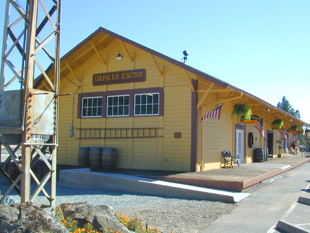
colfaxtraindepot
Colfax Train Depot

Sacramento River Camping

The Sacramento River of Northern California

The main artery from the North; the Big River of California

Sac River California

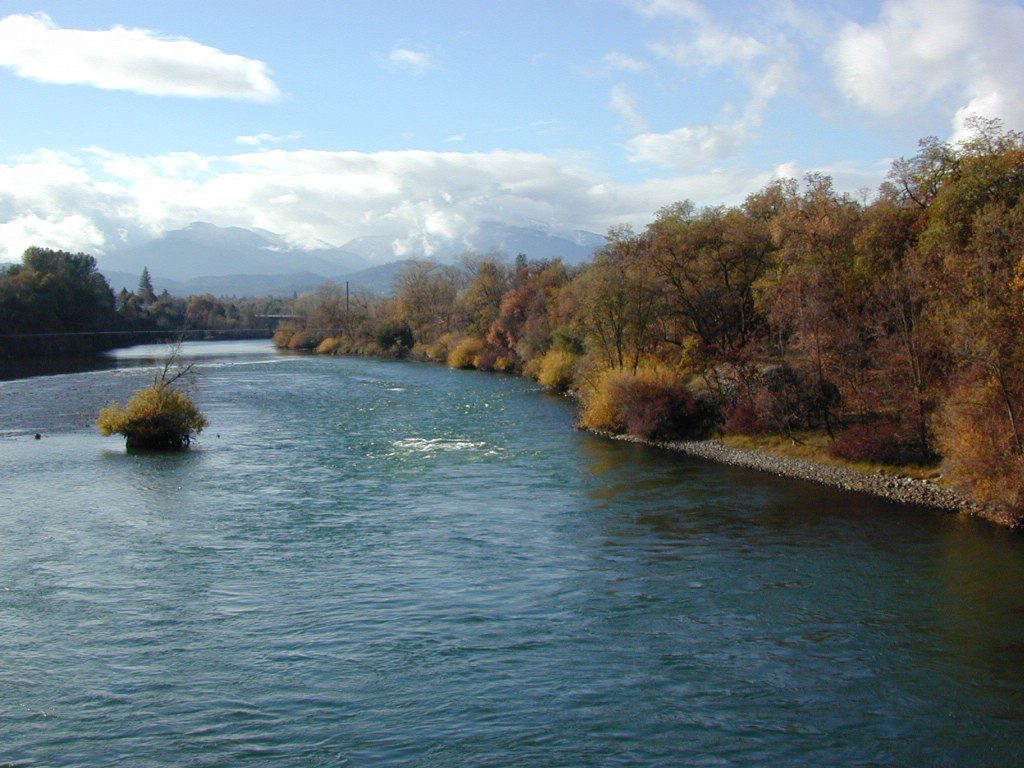
Mighty Mount Shasta snowmelt flows south, bound to meet the giant Lake Shasta, which merges with the Pit River and numerous other major waterways, becoming the big Sacramento River. Running right down the center of the North Sacramento Valley to merge into the California Delta. Shipping channel links the State Capital city of Sacramento with the San Francisco Bay and the Pacific Ocean. Agriculture and wildlife depend on this river heavily.

tent camping camp sites, campground camping, RV camps, dump stations, marinas, bait, gasoline, public boat ramps, boating, fishing, kayak rentals

Redding Winters

CAMPGROUND PARKS below listed from NORTH to SOUTH

JGW RV Park
Riverland Drive
South Redding, CA

Sacramento River RV Park
Riverland Drive
South Redding, CA

Wildlife Refuge
Sacramento River National Wildlife Refuge
Willows, CA
~ Camping is not permitted on the Sacramento NWR. Along the Sacramento River, camping is permitted on GRAVEL BARS for up to 7 days during a 30 day period. For waterfowl hunting, overnight stay is permitted in a vehicle or RV in designated areas. Tents are prohibited. No person may build or maintain fires except in portable gas stoves.

Orchards

Chico Area

Lake Red Bluff Recreation Area
Red Bluff, CA

Driftwood RV & Fishing Resort
@ Mill Creek Park
Los Molinos, CA

Hidden Harbor Marina & RV Park
Los Molinos, CA

River’s Rest Resort
Los Molinos, CA

Woodson Bridge RV Park
Corning, CA

State Parks
Woodson Bridge State Recreation Area
Historic State Park w/ Campground
South Avenue (A9)
Corning, CA

Bidwell-Sacramento River State Park
Chico, CA

Colusa Landing & RV
Butte Slough Road
Colusa, CA

State Parks
Colusa-Sacramento River State Recreation Area
Colusa SRA Camping

Camping Colusa
Tent Camping Colusa SRA

California Delta Region

State Parks
Brannan Island State Park
Rio Vista, CA

Sandy Beach Solano County Park
2333 Beach Drive
Rio Vista, CA

Vieira’s Resort
California Delta
Isleton, CA

State Parks
Old Sacramento State Historic Park
Downtown
Sacramento, CA

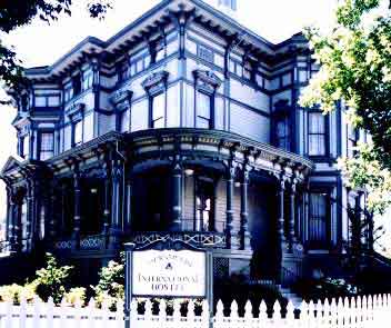
Sacramento Hostel, see more budget lodging

Los Angeles Beach Camping

DSCN0006

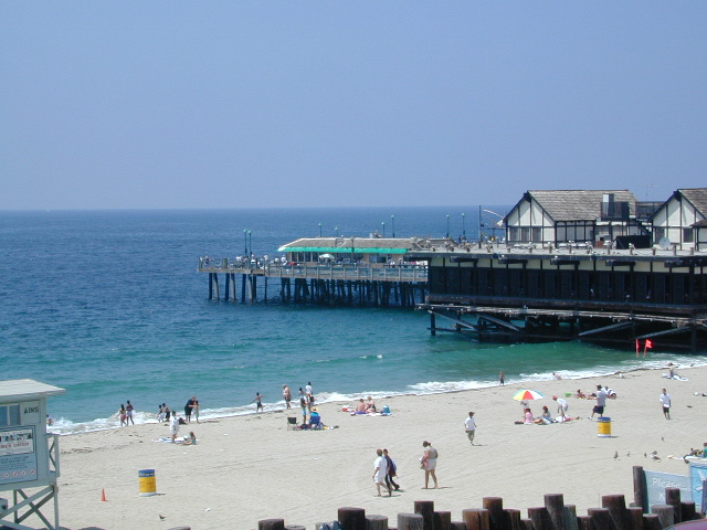
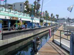
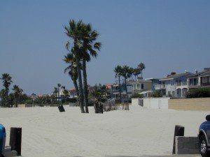
There are very few camping options along the Los Angeles coastline and what is available is geared toward RV campers and the dreaded, amusement parks. Orange County Coastline has the best camping near the Los Angeles region (without needing to smell the oil refineries). Ventura and Santa Barbara, both north of L.A. also have excellent camping beaches.

blue links lead to State Park pages with camp reservations.

State Park

SoCal Camping

Sunny and near perfect temperatures all year long, Southern California seriously pulls in the tourists. L.A. is a major metropolis city right next to the Pacific Ocean. With 22 million people residing in Southern California, and millions of visitors annually, this region is pretty busy all the time – even in winter months. Off season for camping might be November-March, when most of the precipitation falls for the year, but campground reservations are highly recommended all year long.

(located from south to north)

Orange County Beach Camping

camp

Long Beach and LA Campgrounds

queenmaryship
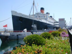
Queen Mary Ship @ Long Beach, CA

Bolsa Chica State Beach, Long Beach CA State Parks

Golden Shores RV Park, Long Beach CA

Redondo Beach (no campgrounds)

Hermosa Beach (no campgrounds)

Manhattan Beach (no campgrounds)

Dockweiler State Beach RV Park
Situated near LAX airport, the Chevron refinery and the main sewage treatment plant, this location can be stinky at times. Paved bike path along the beach leads north & south.

Playa del Rey (no campgrounds)

Venice Beach (no campgrounds)

Santa Monica (no campgrounds)

Malibu Campgrounds

Leo Carillo State Beach Campground State Parks

Point Mugu State Park Campgrounds State Parks

  • Sycamore Beach & Canyon Campground
  • Thornhill Broome Campground

Ventura Beach Camping

DSCN0076

DSCN0034

DSCN0090

San Diego Beach Camping

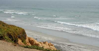
Coastal Cliffs San Diego

San Diego Coastal Campgrounds
Mission Bay & North County
SD Beach RV Parks & Camping

RV camps camp

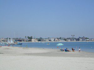
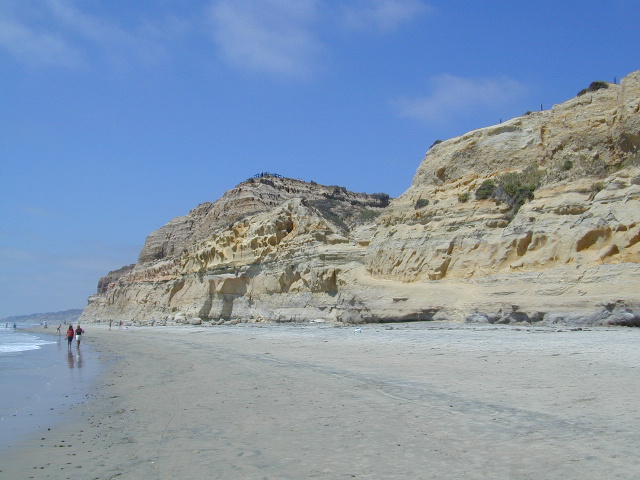
San Diego’s mild climate means camping is available all year round. Winter storms can get windy and rainy, but most campgrounds are still open. From north county where the coastal cliffs overlook the ocean, to downtown bay side marinas w/ RV camping, to camping right on the sand w/ ocean crashing just feet away. Bike paths are common around downtown San Diego, so you can bring your bike or skates.

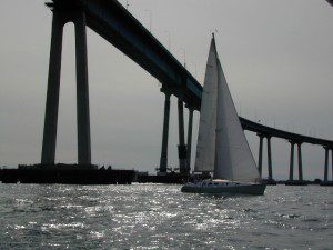
San Diego has 2 BAYS, both located along Interstate 5: The main bay downtown is called San Diego Bay (one of the deepest on the west coast) and the other a few miles north, is named Mission Bay (a man-made coastal waterway w/ green parks and paved bike trails).

Reservations are required at almost ALL coastal campgrounds, especially around holidays, any 3 day weekends, and all summer long. Tons of tourists flock to Southern California and this is a very popular coastline – with busy little cities and crowded beach towns. Beware: if you are seeking secluded camping – this would not be the place.

Best Beaches

listed from south to north

Carlsbad Cliffs

There are numerous private RV resorts, some quite large, like KOA and GoodSam parks located in and around San Diego county. Most are metro-close and not located on the beach. This list is primarily coastal camping options for the San Diego region.

camping SoCal

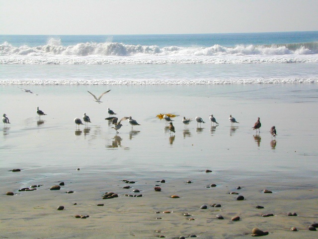
Seagulls at Cardiff

see also
San Diego Campground Camping

see a list of all
San Diego cities & towns

baybridge

San Diego Camping

Redwood Beach Camping

NorCal Redwood Coastal Camping

Redwood Campgrounds

Del Norte County, Northern California

redwood101

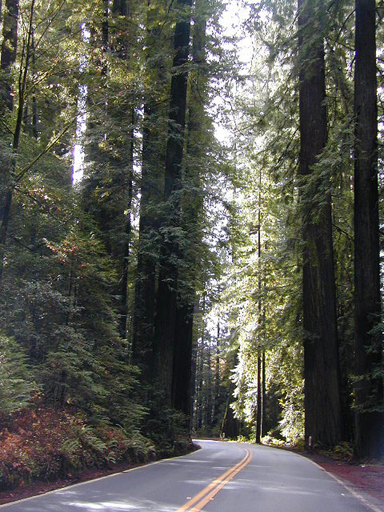
There are a few special places in California where redwood trees grow right down to the shore, but it is rare. Searching for place to pitch a tent (under the redwoods at the coast) is possible, but a bit harder to find than you might imagine. State Parks usually offer the standard paved camp site. Maybe need to drive dirt roads to find redwood seclusion.

Crescent City Camping

redwoodmap

Klamath Coast Camping

blue links lead to State Park pages with camp reservations.

State Park

Redwood Park Campgrounds State Parks

Redwood National Park National Park
Camping 

  • Demartin Campground
  • Flint Ridge Campground
  • Mill Creek Campground
  • Nickel Creek Campground (backcountry)

Eureka RV Campgrounds

redwood camping norcal

If you are seeking free or dirt cheap, primitive camping on the coast, then LOST COAST CAMPING on the Mendocino border is one option. Or head east, inland to the abundant National Forest. Dirt roads of the Six Rivers National Forest offer old logging roads, creeks, and secluded places to pitch a tent. Campfire permits are needed for dispersed camping, or ‘boondocking’ as some call it.

Dirt back roads can get muddy during the wet season, so know your vehicles capability and if you are unsure, check with the local rangers over the phone (preferably a ‘field ranger’) before venturing out. Remember that rain and mud are the norm, most of the year.

Fog is typical of the region. Enjoy the sunshine – when you can!

see more towns nearby –

Smith River
Crescent City
Klamath
Orick
Trinidad
Arcata
Eureka
Scotia
Ferndale
Petrolia
Garberville
Redway
Shelter Cove

Saddlebag Lake Campground

Saddlebag Lake, Yosemite East Side

Inyo National Forest @ Tioga Pass, Hwy 120

Yosemite High Elevation Campground

Yosemite Lake View Camp Sites

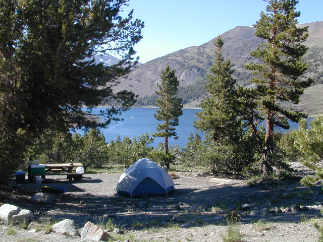
Tioga Pass camping on the eastern side of Yosemite National Park, just outside park boundaries is Inyo National Forest lands. Snow is usually epic up here and some of the deepest on the range of light.

Several prime campgrounds line this popular Sierra pass, highway 120. Most camps are located along the busy highway just outside the National Park gate. Behold, this prime choice destination is a few miles back off the highway, at the end of a graded dirt road. Smaller RVs okay.

Saddle Bag Lake

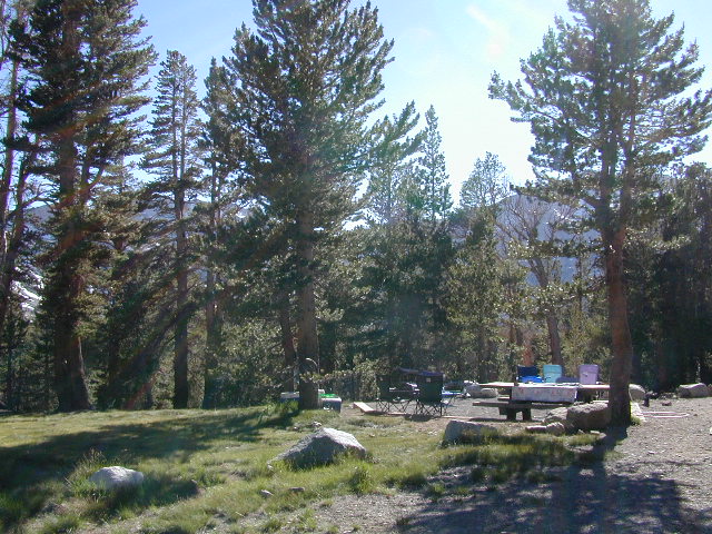
High altitude, tree line, thin air, snow melt everywhere, spectacular elevations and dark skies make this an awesome stargazing spot. Summer is busy with trailers, boat rentals, horses and day hikers. Locals and fishermen use this small campground often, so tourists should feel lucky to find such a rare camp here. First come, First serve, when it is open (only half the year).

Elevation: 10,000′
Number of Sites: 19
Camping Reservations: No
Sites Available: First come, First serve
Vehicle Accessibility: Vehicle limit 22 ft. max.
Length of Stay: 14 Days
Water: Piped; lake, creek nearby
Toilet: Vault
Season: Closed during winter & spring
Fee: Yes
Operated By: National Forest Service
Closest Town: Lee Vining, CA

Inyo National Forest
Bishop Ranger Station
760-873-2400

RV Camper Lake

San Francisco RV Park

RV Campground San Francisco / RV Camp Ground

San Francisco RVing

Beach RV Park
2505 Portola Dr
Santa Cruz, CA
831 462-2505

Betabel RV Park
9664 Betabel Rd
San Juan Bautista, CA
800-278-7275
831 623-2202

Candlestick RV Park
650 Gilman Ave
San Francisco, CA
800 888-2267
415 822-2299

Costanoa Coastal Lodge & Camp
2001 Rossi Road @ Hwy 1
Pescadero, CA
650 879-1100

Coyote Valley RV & Golf Resort
9750 Monterey Rd
Morgan Hill, CA
866 376-5500
408 463-8400
San Jose, CA

Marin Park
2140 Redwood Hwy.
Greenbrae , CA
888 461-5199

Novato RV Park
1530 Armstrong Ave
Novato, CA
800 733-6787
415 897-1271

Olema Ranch Campground
Point Reyes National Seashore
10155 Highway 1
Olema, CA
800 655-2267
415 663-8001

Parkway Lakes RV Park
100 Ogier Ave
Morgan Hill, CA
408 779-0244

Pinto Lake Park
451 Green Valley Rd
Watsonville, CA
831 722-8129

San Francisco RV Resort
700 Palmetto Ave
Pacifica, CA
877-864-2728
182 sites

Santa Cruz Ranch RV Park
917 Disc Dr
Scotts Valley, CA 95066
877-864-2728
Full hook up, pull-thru sites

Saratoga Springs Park
22801 Big Basin Way
Saratoga, CA
408 867-3016 x824

Trailer Tel RV Park
1212 Oakland Rd
San Jose, CA
408 453-3535

Treasure Island RV Park
1700 El Camino Real
South San Francisco CA
650 994-3266

see also –

Baja RV Parks

Baja California RV Parks

RV Camping Baja / RV Park Baja

baja camping RV

RV Camping in Baja California Mexico can be quite a challenge, especially if you do not know where you are going. Best bet is to get a good road map, and choose your destination wisely. Travel times are much longer in route in Baja than on modern US freeways, so plan accordingly. Below are some popular Baja destinations for camping, outdoor recreation, sightseeing cities, beaches & villages.