2024 WILDFIRE: PARK FIRE consumed the Ishi Wilderness and the Mill Creek drainage in August of 2024 – and this campground is off limits, while they log the dead timber stands
Hole-in-the-Ground Campground NFS Lassen National Forest
dirt road access #28N06, off Hwy 172 @ Mill Creek, CA
South of Highway 36, near jct Hwy 89
• Elevation: 4,300′ • Number of Sites: 13 • Vehicle Accessibility: No trailers • Campsite Fee: Yes • Campsite Reservation: No • Campsite Water: hand-pump well • Toilet: vault • Length of Stay: 14 Days • Season: April – October • Trailheads: Mill Creek Trail
Shady pines campground situated near the wild and raging Mill Creek, on the south side of Mount Lassen. Outside of the Lassen National Park, this NFS camp offers a real backwoods feel and more seclusion. Easy foot access to Mill Creek and also theIshi Wilderness.
Picnic tables and metal campfire rings provided at these campsites. Summers can be busy, but mid week you may have the whole place to yourself. NOTE: 3 miles dirt road access Lassen Forest Road #28N06. Trailers and large RVs are not recommended on this dirt road.
Hole in the Ground, is also the name of a remote wilderness canyon deep in the Sierra Nevada mountains. Located on the Upper Kern River – in Grasshopper Flat near Hockett Peak (8551′ elev). All inside the Golden Trout Wilderness; accessible only by horseback or hiking trail. Find it on foot @ Jerky Trailhead on National Forest Road# 22S82
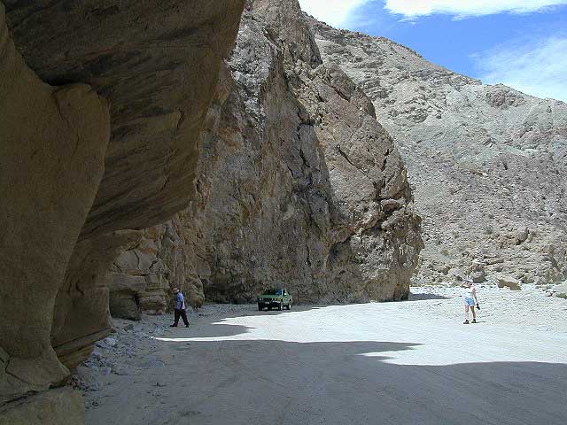
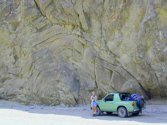
Hole in the RockBackside Hole in the Wall, Mojave NP
Hole in the Wall, California
Similarly named, Hole in the Wall Campground is a popular spot in the Mojave National Preserve. Group facilities, horse corrals, developed campgrounds, centrally located, yet close to Interstate 40.
Stop by the “Hole in the Wall” Information Center (760) 252-6104, for more info and maps. The most popular hike, the Ring Trail, will leads thru rock face (above) to the campground on Black Canyon Road, on the other side of this huge rock wall.
Mid Hills Campground (nearby) has better choice on secluded camping, but rougher road to access. Mojave desert has abundant camping, so there is plenty space for everyone!
Due the nature of gravity, erosion and heavy rocks, creek beds tend to be rocky ravines near mountains – which collect rocks as they slide downhill. Creeks work as water drainage off the mountains. Inside California we have plenty of mountain ranges and plenty of movement, as the Pacific plate plows into North America, tectonically speaking.
How many Rock Creeks are inside the golden state of California? Heck, I dunno. Let’s try to find them all.
Large feeder creek from the north side of highway (California SR 70), in Plumas National Forest. Located in the popular railroad canyon known as the Feather River Canyon. Right here Rock Creek even has a reservoir.
Sugar Loaf Mountain elev 3553′ with Tobin Ridge line each side of Rock Creek as it descends the mountain tops. The junction where the creek meets the big river is just south of Bucks Creek Power Station @ STORRIE, CA. The overall location is half way in between OROVILLE, CA and QUINCY, CA
Rock Creek Campground – US Hwy 101 NorCal Redwood forests, north of Leggett, CA. Camp located on the Eel River, in the Standish Hickey State Recreation Area. (36 camp sites)
Also the is a small ROCK LAKE located insideLakes Basin Recreation Area, northern Gold Country @ Yuba River headwaters. Hike-in access only.
Similarly named ROCK FRONT RANCH is 4×4 trails & 4WD camping area. Cool wind caves, super steep driving terrain (Granny low anyone?) and of course, wildflowers.
Off Highway 166, east of the city of Santa Maria & US 101 – on the Central Coast of California. Way back there, at the edge of the forest, behind the wineries!
Trinity is NorCal’s jewel of alpine lakes and granite peaks – many above 8000′ elevation, about 40 miles inland from the ocean. Trinity is located in between the infamous redwood coast and the I-5 corridor. Rivers, creeks, lakes, and trails into the high elevations regions, bqckpackers and equestrian campers alike.
Hiking trailheads are accessed from all sides -On the east side you have Trinity Lake & Trinity River w/ Highway 3 running lengthwise in a north-south direction. Hwy 299 runs east-west along the south side of the wilderness. Klamath River Hwy 96 lies on the west side of the wilderness. Salmon River, Scott Mountains and Cecilville are north of the alps.
Both the small Russian Wilderness & the larger Marble Mountain Wilderness are located to the north of Trinity Alps, along with rural towns near the Scott Mountains and the Salmon River. Castle Crags Wilderness is to the eastern side, near Interstate 5.
The mountainous area is quite unique, as exposed granite mountain peaks and alpine lakes are pretty rare in the coastal Cascade ranges. The only other spot in California that has an 8000′ peak nearing the coast is just north of Los Angeles – Los Padres’s Mount Abel & Mount Pinos peaks, both over 8000′ in elevation.
TRINITY ALPS TOPO MAP
The USDA map for Trinity Alps Wilderness was outta print for nearly 2 years and it has recently been updated and reprinted. New edition released in 2013 and now available at the Total Escape map store. Printed on waterproof map paper and updated in 2012.
CLOSED 2020-2022: Campground is undergoing some serious work with removal of hazardous trees and forest clean up. NOTE: DixieFire 2021 did not damage this portion of the forest highway (CA 36)
A developed USDA campground along forested Highway 36, near the junction of Chico’s Hwy 32. This stretch of 36 overlaps with north-south Lassen Hwy 89. Awesome fishing creek, meadows, hiking trails and mountain biking trails nearby. Paved, level camp sites w/ easy access to Lassen Volcanic Park and the National Forest.
This is a popular camp just south of the Lassen National Park boundary and 5 miles east of Child’s Meadow Resort. Car camp, tent camping, some spaces for large motorhomes. Plenty fishing, hiking and mountain biking trails.
Gurnsey Creek begins in Childs Meadows, north on Hwy 36 – just outside of Lassen National Park
Gurnsey Creek Campground, California
on Gurnsey Creek; Campground open May-October
(depending on snow)
Lassen Creek Camping
52 camp sites on Gurnsey Creek @ 4700′ elevation; vault toilets, creek and piped water, bear boxes; first come, first serve camping – and reservations are also accepted
Max Camper Length: no limitations
Shady forest camp sites w/ creek. Numerous fishing spots. Close to Lassen Volcanic National Park, Chester and Lake Almanor. Backpackers, day hikers and horseback riders will enjoy the PCT nearby. Pacific Crest Hiking Trail runs to the east side of this campround.
CHESTER, CA Rangers Office: 530-265-4531 Almanor Ranger DIstrict, Lassen NF
2 reservable Group Camps are available at this campground. Group Site 1 can accommodate up to 56 people; Group Site 2 can accommodate up to 112 people.
Free Camping nearby.
If you are seeking primitive camping in this Lassen area, look for dirt roads in the USDA National Forest lands, which surround the National Park boundary.
to the west – Lassen Road #14 – the Blue Ridge, north off of Hwy 89 @ Mineral.
to the south – Yellow Jacket Road #29N48 around Turner Mountain, which is south-southwest of Mill Creek.
to the east – Lassen Road #10 – head north off of Highway 89 in between Chester & Westwood.
Highly advised: a real map, a printed ‘hard copy’ shows both the National Park and the National Forest of Lassen on one map – with topographic features, all mountain peaks, creeks, lakes, trailheads, plus all dirt and paved roads.
Aspen Groves are easy to recognize with their thick stands. White trunks with dark knots, slender, with oval shaped leaves. Growing in a network of roots, which are found lining creeks, alpine lakes, or spilling out from higher elevations, along scenic canyons.
The unique round leaves which can turn spectacular colors in the fall season. The fluttering and flapping of the oval-shaped, thick, green leaf is a sure sign of summer. When breezes get cooler, Autumn is only a few weeks away and as quick as the cold comes in, what a short and special show they put on.
Green Creek historic cabin, on the Eastern Sierra
California Fall Colors
Aspen trees can be found at higher mountain elevations in California, usually above 4000′ – all the way up to about 10,000′ or higher, depending on the mountain range and local water flows. Groves have an extensive root systems underground, so they often withstand wildfires and can come back after the rest of the forest is gone.
Beavers build dams in creeks around aspen trees, fishermen and campers love to camp next to aspens, and lovers carve their initials into their white bark. These trees do indeed take a beating, from all angles, winter weather included… so stop from cutting them!
BIKE
CAMP
FISH
HIKE
KAYAK
PICNIC
summer and autumn
These deciduous trees are naked half the year, typically from November to April, as winter buries them in snow and ice. Time is of the essence, limited to Summer and Autumn – to enjoy their shade and the beauty of the groves. Scenic meadows and fishing creeks are just an added bonus for searching out the aspen.
Aspens can be found in hidden canyons, primarily along the Eastern Sierra US Hwy 395 and surrounding mountain lakes. Some Sierra Passes have decent displays of color as well – like Carson Pass Hwy 88 and Yosemite’s Tioga Pass Hwy 120.
Below is a list of Total Escape’s favorite aspen areas of California
Numerous Mill Creeks exist in the golden state of California. Here we will list most of them, some with campgrounds and others without. Waterfalls, big rivers and
Small mountain resort in the forest near Mill Creek, with cabin rentals, RV camping and campgrounds nearby. A general store is open in summer months, and snow can be found in winter. Highway 172 makes a nice paved loop around this forested area and joins back to Hwy 36. Route may be closed due to snow in winter & spring. Free camping can be found along this creek, although a campfire permit is always required for camping outside of developed campgrounds.
Mill Creek Resort
40271 Highway 172, Mill Creek CA 96061
530-595 4449
Mill Creek Resort Campground
elevation = 4720′
14 tent sites
8 RV sites
reservations & fees
closed in winter
showers & flush toilets
picnic tables
camp fire rings
Mill Creek Indians: Described as a group of ‘renegade and outlaws’, from multiple tribes in NorCal. Mill Creek Indians took shelter in secluded Mill Creek gorge, located below the Mill Creek Rim, a volcanic ridge which extends from Mount Lassen to the Sacramento River Valley. See more on Ishi Wilderness.
Fouts Springsis a popular off-road camping area on the far east side of Mendocino National Forest. Many miles off I-5, near Stonyford, CA. Numerous NFS campgrounds exist is this rugged canyon. One of them is called Mill Creek Campground and it has few pine tree and lots of chaparral, plus a decent little creek flowing nearby. OHV – off highway vehicle use is heavy in this region, so know when to go. At certain times of the year this remote canyon can be quiet and peaceful. Call the local rangers to find out.
Stonyford Workcenter
5171 Stonyford-Elk Creek Road
Stonyford, CA 95979
530-963-3128
NOTE: RANCH FIRE, this whole Mendocino Forest was badly burned by recent wildfires. Mendocino Complex Fire 2018
All of the Snow Mountain Wilderness was burnt and affected, including all the National Forest land surrounding it. Fouts Springs Campgrounds may have been spared, but the hills, trails and roads now lead to blackened forest. Many routes could be closed; check with ranger station in advance of travel.
Mill Creek Waterfall is located on the western slopes of the Warner Range, near the South Warner Wilderness. On the headwaters to the Pit River; About 6 miles east of US Highway 395, near the town of Likely, south of Alturas, California
TheBucks Lake Wilderness region also has a developed NFS Mill Creek Campground. The camp location is well off the Bucks Lake Road, tucked deep in a tight canyon; northern most point and near a dam for the large Bucks Lake.
elevation = 5200′
10 camp sites
fee
closed in winter
14 night camp limit
RV = 21′ max
pit toilets
picnic tables
camp fire rings
Bucklin Road (aka Bucklin Dam Rd and Road 33) #24N24 a paved road on the west end of Bucks Lake, connects to Road #24N88X which leads back to this smaller campground; camp sites are paved. Steep driveway down.
This Mill Creek intersects Bucks Lake at the campground, then connects to the PCT hiking trail, although the narrow dirt road #24N88X veers away from creek a few miles up.
This Mill Creek is located on the south shore of the lower Kings River, above Pine Flat Reservoir. This is the boundary where Sequoia NF meets the big river, and on the other side of the water is the Sierra NF.
Mill Flat Campground (also known as Mill Creek Camp) is a shady, oak flat campground on a dirt road, located at a dead end canyon site, right on the rocky rivers edge.
As usual – the further you drive, the more seclusion you will find. This observation holds true for this Mill Creek location. During peak summer months, there may be families enjoying this spot, but most of the year it is virtually empty and rarely used.
East San Diego County Road S2 winds thru the lower passes & washes of Anza Borrego Desert State Park. On the edge of the State Park boundary Vallecito is a small campground & park, but it was a stage coach route in the 1800’s.
California Historic Marker #304
VALLECITO STAGE STOP – A 1934 reconstruction of Vallecito Stage Station (originally built in 1852) on the eastern slopes of the mountains in the high desert. A super important stop on the first official transcontinental route, serving ‘The Jackass Mail‘, the Butterfield Overland Stage Line, and the southern emigrant caravans.
Vallecito Campground
elev. 1555′
camp sites: 44
overnight fee
first come, first serve
reservations accepted
Campfire pits, picnic tables, bathrooms, & historic buildings; 22 sites are tents only. RV 40′ limit; Additional 8 equestrian campsites w/ corrals. No RV hookups, no dump station. No piped water. No gasoline, no store, no amenities. No firewood, no collecting of firewood. No shade trees, just tall desert brush. Arrive adequately prepared for real desert roughin it.
Closed during the hottest months of summer: JUNE-AUG. Open seasonally: Labor Day weekend through the fall, winter and spring, up until the last week in May.
A neighboring and very rural stage coach stop is further down a long wash, to the south east. Getting there usually requires 4×4, since you must ford a muddy desert wash w/ creek & deep holes. There are no signs out in this sandy desert wash, so you best have a good map and a compass.
The Old Carrizo Stage Station site is accessible by 4 different dirt roads (desert washes) way off the paved highway. None of these are well signed at the highway: Vallecito Creek, Willow Creek near Mountain Palm Springs, Carrizo Creek near Bow Willow, and Canyon sin Nombre.
Agua Caliente, Bow Willow Campground, Canebrake, Sweeney Pass, the badlands overlook, mud caves and slot canyons are all located south of Vallecito. California SR 78 and Blair Valley are north of Vallecito.
Vallecito is located at the apex of the gap in the Carrizo Badlands created by Carrizo Creek and its wash in its lower reach, to which Vallecito Creek is a tributary. Once a seasonal village of the native Kumeyaay people, on a trail across the desert from the Colorado River, this oasis, became a crucial stopping place for Spanish and then Mexican travelers to recover from the desert crossing between Sonora and New Mexico to California. The non native settlement of the site began in 1850, as a camp with a one room sod warehouse as the U.S. Army Depot Vallecito for the supply of Fort Yuma. It was later increased in size and became a store, a stage station, and a ranch house. read more on wiki
Yep! Small community of about 400 folks in the western Sierra Nevada foothills. Gold Rush Country, mining region. Up off the Historic 49 and it used to be called Murphy’s Old Diggings.
GIANT SEQUOIA: in between Sequoia & Kings Canyon, inside Sequoia NF
This chunk of National Forest land is perfectly located in between 2 very popular National Parks – Kings Canyon and Sequoia. This primary paved road leads to some great camping, a perfect option for NOT camping inside the crowed National Parks.
Turn east off of Sequoia ‘Generals Highway’ 198, on to the well signed Big Meadow Rd. There is primitive camping all over this area & a few developed campgrounds along this route. Motorhomes be warned: the road narrows to one lane with no “turn outs” or U turn spots for the last 10 miles (on a steep cliff w/ large overhanging rocks)
In the first few miles, the dispersed camp sites on the right side have great views & some situated on fairly flat granite slabs, perfect for astronomer campers or adventurous RVs. To the left side of the road is more primitive style campsites in wooded areas. The whole area is also a very popular cross country ski & snowmobiling spot for winter recreation. Hunters also like these camps during hunting season (in September).
There is a developed Horse Camp on the left side of the road for equestrian campers. This camp is located across from the biggest meadow and may be the first place you notice on this drive.
Buck Rock Campground (7600′ elevation, 5 spots) & Big Meadows Campground (7600′ elevation, 25 spots) are both family style camps, perfect for those who want picnic tables, plus bathroom nearby. Sorry no flush toilets out here, only pit toilets.
Buck Rock Fire Lookout Tower @ 8500′ elevation – is located to the north on Forest Rd # 14S02. It’s a great spot for some impressive views – if you aren’t afraid of heights. To reach the tower you must climb several flights of steel steps. This place is worth a stop if planning a sightseeing day.
Big Meadows Guard Station @ 7500′ elevation (also known as Big Meadows Cabin), is located next to the BIG MEADOW and is available for rent on a weekend basis from the NFS. Hiking Jennie Lakes Wilderness and fly fishing Big Meadows Creek are favorite activities to be enjoyed.
Big Meadows Road is long & narrow – 12+ miles. RVs are not recommended beyond the Big Meadow Campground, as the road is one lane in some spots & it skirts a cliff edge. The views are incredible the farther you go & many creeks feed the region.
The narrow, long paved road eventually forks off into several smaller dirt roads back near Horse Corral Meadow. Way back here, the dirt roads lead out to trail heads for backpacking, horse packing or day hiking in Jennie Lakes & Monarch Wilderness. Backcountry access to either Sequoia or Kings Canyon National Park! Have a good map if you plan to venture out this far. Pay attention & don’t get lost.
GPS would be helpful in this area. Some of the smaller of the dirt roads are not even on the NFS maps. Make sure to GPS way-point your favorite camp site, so you can find in next time…. in the dark.
Forks of the Kern: Forest Rd# 22S82 – Lloyds Meadow Road Jerky Meadow Trailhead, Sequoia National Forest
SEPT 2021: Closed due to the Windy Fire
Driving north on Sierra Hwy N of Kernville, California; Passing Fairview & the Johnsondale bridge; After the R Ranch @ Johnsondale, take the right fork off the main highway, which goes deep into Kern River Gorge. This narrow & winding paved road skirts the Upper Kern River Gorge & the impressive Rincon Fault. Numerous primitive camp site can be found on dirt roads off this paved route. The pavement dead ends at Jerky Meadow trail head, which accesses the Golden Trout Wilderness & the Great Western Divide. Backpackers can get to the high country Sierra Nevada & Mineral King in Sequoia National Park from these trails.
Boy Scout Camp Whitsett is one of the first places you pass, near Sentinel Peak.
The Western Divide Hwy runs parallel to road 22S82; way up above it @ 7000′ elevation – with destinations like Dome Rock & the Needles (2 very cool granite features) that overlook this Kern Gorge. The small community of Ponderosa, CA is also up there, along with the quaking aspen groves & the Trail of 100 Giants. Forest Rd# 22S02 connects paved route 22S82 to the Giant Sequoia highway above.
There are many primitive camp areas way above Kern River Gorge – all located on the right side of this road 22S82. Look for small signs for CAMP AREA #1-6. Camps 1-3 are great for RV campers with creeks & dense forests. Long Meadow Creek is one of the first of many streams, you will cross as driving this paved, winding, canyon route. Camp areas #4, 5, & 6 are the best bet for seclusion, plus awesome hiking trails to falls, granite pools & the impressive Kern gorge. Swimming holes are plentiful. Fishing can be decent at times. Many waterfalls can be found in this region as the tributary streams fall towards the deep granite gorge in the Sierra Nevada range. All roads off of 22S82 are dirt roads & most are passenger car accessible. Wetter months could be challenging. Some routes back here are considered to be 4×4 routes tho, so know your vehicles limitations. High clearance is needed to reach some camp sites. Summers can be busy.
This area was burnt from recent wildfires in 2002-2005, but the primitive, dispersed campsites near the streams are full of vegetation & making a nice comeback. Alder Creek runs down from the Sequoias, into Dry Meadow Creek nearby.
Lower Peppermint Campground @ 5300′ elevation, on the west side of the road, is the only developed camp ground on this main forest road. Lower Peppermint has 17 spots, piped water, & picnic tables. Peppermint Meadows & Peppermint Creek are adjacent to the camp area.
Lloyd Meadows @ Sequoia Forest Road# 20S67 – is the Forks of the Kern Trailhead & the dirt road that accesses it, is very popular among equestrian campers. Freeman Creek joins Lloyd Meadows Creek near Pyles Camp. There is a small developed campground called “Forks of the Kern”. Steep trail leads down to the granite gorge where Little Kern River meets the main Kern River; Rattlesnake Creek & Ninemile Creek also join the Kern River in this 10 mile stretch. Kern Hot Springs requires a backpacking trip.
Group Camping can be reserved at Whiskey Creek Group Picnic Area
3 group camping sites with excellent views of the lake and mountains, on the northeastern shore of Whiskeytown Lake.
Salmon River @ Somes Bar:
Oak Bottom Campground NFS
elevation 700′
26 sites
No electricity, water or sewer hookups
Six Rivers National Forest – Oak Bottom Campground loops around a forested hillside with large trees providing ample shading for multiple sites within the campground. A variety of wildlife makes its home in the area.
Located off the main highway, on a side road, with the epic Salmon River! This NFS campground is popular with whitewater enthusiasts in the spring. Rafters, kayakers. Many challenging rapids ranging from Class 3 to 5 are available. Swimming is also popular in the summer and numerous river access areas are a short drive or walk from the campground.
Sugarloaf Ridge, Greenhorn Mts
Alta Sierra, Kern River Canyon
Sugarloaf Road, above Kern River Canyon
SOUTH SIERRA: This route is located in between the Western Divide Highway and the cedar community of Alta Sierra, CA
Sugarloaf Ridge: Forest Rd# 23S16 – Thompson Camp Spring, The Den @ Sequoia National Forest
Driving north on Sierra Hwy N of Kernville, California; Passing Fairview & the Johnsondale bridge; After the R Ranch @ Johnsondale, take the left fork on the main highway; After you climb in elevation, look for brown signs on right side of road & turn left on Forest Service Rd# 23S16. Primitive camp sites are located throughout this area along Packsaddle Creek. Do not turn left up Sugarloaf Rd. There are no good camp sites up that way (unless you wanna make one).
RV campers are very common at Thompson Camp Spring, as this road is paved up to this point. The paved road is windy & narrows after this point. It is not advised for trailers or long motorhomes past Thompson.
For the more adventurous, Bear Meadow & Packsaddle Mdw are located up the dirt road a bit on #23S64.
Paved Sequoia route# 23S16 continues to climb, which leads to the Speas Meadow, the Greenhorn Mountains & you best have a real good map if you are heading up this way. 20 miles of awesome open meadows, small streams, dense forest, wildflowers, some primitive camp sites & great viewpoints overlooking the Kern Canyon. All passenger car accessible! Elevations between 6000-7000′. Sugarloaf Peak has cross country skiing.
Side route #23S05 will take you to White River Campground w/ 12 spots. The paved road winds west down the mountain to Posey & eventually Glennville on Hwy 155.
Instead, to easily reach Hwy 155 – you’ll need to get on dirt for a few miles. While on 23S16, look for the Panorama Campground (@ 7400′ elevation w/ 10 sites). Take dirt road #24S15 to get back to civilization @ Alta Sierra, California.
Car campers in Southern California dream of the perfect setting: an uncrowded campsite, in a lush forest, with tall trees & flowing stream of crystal clear water. A swimming hole nearby, plus a place for the hammock. They also want it less than a 2 hours drive from their home. Unlikely.
The real California rivers & mountains are in the northern half of the state, while the lower is more like a desert. You will need to drive hours to reach these kinda spots. The Sierra Nevada mountains are the closest bet for finding a creek side camp. Lassen is next, for exploring numerous dirt roads that lead to secluded spots. Northern California, above Redding usually has water flowing and decent fishing, even in the driest years.
Read more on specific California camping techniques:
Developed campgrounds located next to rivers, creeks, or streams can be found on the back roads of California. Below is just a sample of small towns that have creek campgrounds nearby:
Many of the best creek camp spots are located outside of developed Campgrounds. Most we suggest on this site are located on dirt roads. Some routes may require a 4×4 vehicle, or high clearance 2WD.
thin blue lines – You’ll know a decent road when you see it. But when you are starting out at home, you need to concentrate of what dirt roads are along what water sources. And will these streams be flowing at this time of year? Many are seasonal creeks & can dry up in late summer. The most likely place to find great water flow is to look for the streams flowing directly into a major river or Lake/ Reservoir.
And if you are really not into to roughing it, but wanna find a CABIN on RIVER or CREEK, check out our extensive list of all vacation cabins here, California Cabin Rentals
Lassen Camping near a creek in Northern California
The coastal mountain range wilderness located approximately 12 miles north of Ojai, CA. Drive 5 miles N on Highway 33; left at the Matilija Canyon Road turn off.
Chaparral is the prevalent vegetation with poppies plentiful in springtime. Cottonwood, alder and maple trees dominate the canyon. One trail has trail campsites along it and follows 9 miles of the North Fork, gaining about 3,400′ feet in elevation as it makes a north-south journey, and leaving the Wilderness at a parking area on Cherry Creek Road. This road is open seasonally from Aug. 1 to Dec. 15
This whole area burnt in a recent wildfire and much of it may be closed off to the public.
California fishing recreation ranges from sport-fishing, an open sea adventure, to solo casting in deep river canyons. Big Sierra Reservoirs near Gold Rush Country to High Country Alpine Lakes, the golden state has the water – and the outdoor recreation you crave.
Below is an alphabetical list of popular fishing destinations within California. Mountains to coastline, there are many maps to choose from.
Sure splendor for fishing, most of the time. Lake fishing, stream fishing, river fishing. Fishing the Eastern Sierra area, near Mammoth Lakes, California can be very rewarding. You may have read about places like these in the sports magazines, seen them on a television program, or imagined them in a fishing vacation day dream. Summers can be crowded, so pick a lake and camp carefully. Weather can change quickly, so come prepared. Autumn fishing w/ the golden aspens and less crowds is preferred.
Most of these Eastern Sierra lakes listed below are accessible by car, others by foot. Look at the photos, pick a destination and get a good map of the area, so you can explore everything around too.
Gold Lake, Sardine Lake, Upper Sardine, Smith Lake, Packer Lake, Grass Lake, Sand Pond, Goose Lake, Snag Lake, Long Lake, Jamison Lake, Round Lake, Deer Lake, Tamarack Lakes, Young America Lake, Frazier Falls
California is the land of granite peaks. Rocky, exposed mountains that stick up out of the landscape for all to see. Southern Cal has a few of them, but most granite peaks in California are found in the Sierra Nevada.
US 395 Eastern Sierra impressive ridge lines are the highest and most photographed and Lake Tahoe has plenty of big granite surrounding it. The farther you go north, the less granite you will see – not because it isn’t there, mostly cuz it is just buried with tall dense forests.
lakes basin day hikers
NORTH SIERRA – The Sierra Buttes are the impressive granite peaks located in between the North fork of Yuba River and Sardine Lake.
SE of Mount Lassen and NW of Lake Tahoe, at the tippy top of the historic gold country. Gold Lake Road #24 connects Gold Country Highway 49 to North of Tahoe Highway 89. Road #24 is often closed for winter snow, so most visitors enjoy this region in the summer months.
The infamous PCT (aka. Pacific Crest Trail) passes the peak and goes north through this basin of alpine lakes, so backpackers are often seen. Tent camping is very popular, as well as RV camping w/ numerous developed campgrounds and open camping as well. Some of the hard to reach primitive camp sites (next to lakes) can be accessed via 4×4 vehicle. Gotta have a good topo map.
Downieville is well known for the mountain biking trails, so this whole region is covered with amazing trails. Snowmobilers and cross country skiers love the area during a good winter snow and they can access this area from the north off Hwy 89.
Inyo Forest Campgrounds – Eastern Sierra Campgrounds
areas include: Lone Pine, Mount Whitney, Independence, Onion Valley, Ancient Bristlecone Pines, Big Pine, Bishop [Hwy 168], High Sierra, Owens River, Lake Crowley, Rock Creek, Mammoth Lakes [Hwy 203], June Lake Loop [Hwy 158], Lee Vining & East Yosemite National Park [Hwy 120]. Camping on Eastern Sierra Highway 395
Eastern Sierra recreation – backpacking, horse packing, day hiking, creek fishing, mountain biking, mountaineering, rock climbing
Listed below are Inyo National Forest campgrounds, County Parks, BLM public camps for outdoor recreation. Many campgrounds are closed for winter months. Blue links lead to more camp information. Boldface links to detailed information & photos on campground.
California meadow is a common term people search for when dreaming of their mountain retreat vacation or upcoming weekend camping trip.
Meadows are places in the forest where cool air collects and settles. Deer among other wildlife, can often be found here grazing around dawn and dusk. Alpine meadows are usually surrounded by trees with lush green grasses, located at higher altitudes above 6000′ – the ‘highcountry’ as most like to say.
Find meadows on National Forest lands from 3000-10,000′ elevation, and it is not uncommon to see cattle grazing in these same regions. California National Parks have some of the most protected meadows in the golden state!
MT SAGE – mountain sage meadows
High desert mountains have drier landscapes, with large sage brush meadows surrounded by sparse pinon pine and/or juniper forest. The Mojave desert’s sagebrush reaches out westward to the peaks of West Kern County. High deserts and mountain meadows can both have significant wildflower blooms. The deserts start to show color in March & April, while the highest elevations of the Sierra Nevada can bloom as late as July & August. All California Wildflowers depend on autumn seasonal rains & snow melt.
Kennedy Meadows from Bald Mountain Fire Lookout
Wilderness Meadows
The best places to find secluded wildflower meadows is on the high country trails of various mountains – Mount Pinos, Sierra Nevada, Shasta, Trinity & Lassen – all have marvelous meadows, some have easy access w/ parking nearby and others are hike-in only. Locate hiking trailheads for meadows and possibly find camp nearby.
Excellent near Meadows:
Stargazing, Wildflowers, Wildlife Viewing, Horse Camping
Explore dirt back roads of California to find your very own meadow. If you would like to explore at this level, a good topo map is highly advised. The Sierra Nevada mountains have the most beautiful meadows in the state (by far). Their scenery w/ granite outcroppings and wild flowers, surpasses all else. Although on rare occasions, even the Antelope Valley can look amazing — with poppies.
Mountain Meadows are sacred spaces: Do not disturb the lush, grassy landscape, as wildlife rely on these areas for survival.
No driving on meadows. No camping on meadows; No Campfires; Camp next to (or nearby), but not on top of the meadow. Picnicking should be kept on the sidelines.
Stay on designated dirt roads: No tires across the meadow; No mountain biking, No dirt bikes, No off roading. You’re not spreading the seeds, you’re destroying a fragile ecosystem.
Ranch FENCING w/ barbed-wire is quite common around meadows, to keep cattle out of certain problem areas. Fences also help keep the wandering public out of private lands or sensitive areas.
When hiking – stay out of the muddy spots and know that if you choose to hike directly across meadow, you may encounter water and deep, sinking mud. HINT: There is usually a shallow creek running through most meadows, during all times of the year.
Winter snow usually blankets these fragile areas in winter, and when deep enough – making this terrain prime destinations for snowmobilers.
Yuba county, city and river are located in the upper Sierra Nevada, north Gold Country. Only a few small towns around here, but lotsa National Forest land and gorgeous granite rock. Yuba City is well known for its orchards, agriculture and diverse population. Yuba River is a recreation hot spot most of the year – spanning from the foothill canyons up to higher elevation alpine lakes. Camping, kayaking, fishing, camping, hiking, swimming holes & waterfalls.
Most of us want to dunk ourselves in a cool mountain stream when the temperatures get beyond 100 degrees, which is summer months in Central California. Big rivers, like the Yuba are popular spots for all kinds of outdoor recreation and they really draw the crowds. Find your own piece of solitude by getting a good topo map of the region and exploring well away from the main road.
This Yuba River gold country region of the Sierra Nevada mountains, is only about an hour drive up the hill from Sacramento; obviously, the further you drive the better it gets. Tons of one lane and dirt roads to explore. Fishing and camping almost everywhere.
Several NFS Campgrounds, line the North Yuba River right along the Highway 49, between Bassetts and North San Juan, CA
Wild Plum Campground
Loganville Campground
Union Flat Campground
Cannon Point Campground
Ramshorn Campground
Rock Rest Campground
Indian Valley Campground
Fiddle Creek Campground
MIDDLE FORK of the YUBA
This water comes from the rugged and remote Henness Pass area. The long, dirt, historic route Road 293 which connects Reno, NV to the old mining camps along Highway 49 @ Camptonville, south of Downieville.
The Oregon covered bridge and the Bridgeport covered bridge run along this fork of the river. There is another State Park down @ Bridgeport; although bridge may be in reconstruction 2020.
A nice place to dip into the this fork of the river – is right off main Highway 49 on Moonshine Road, a secondary road that leads over to Bullards Bar Lake. Minimal parking spots and a steep hike down to the river; and you may have the whole place to yourself (on a weekday morning.)
SOUTH FORK of the YUBA
Donner Pass in the Truckee region, North side of Interstate 80. Snowmelt becomes creeks, around alpine lakes like Spaulding, Bowman, which all flow west. Graniteville & Washington, CA
Edwards Crossing from 1898
A very popular State Park for South Yuba is located along Hwy 49, north of Nevada City, CA. Many backpacking trails, mountain biking trails and day hiking trails, plus several old bridges (crossings), built before 1900 still exist and in use. Bureau of Land Management has the quietest and cheapest developed campground around these parts, accessible only by dirt road (North Bloomfield Road).
Few National Forest Campgrounds are located on the South Fork. Many scenic, small lakes exist up in these higher altitudes, where the best camping is. Granite peaks, numerous creeks, forests and gravel roads.
Big Bowman Lake
BEAR RIVER, Lake Faucherie, Sawmill Lake and Bowman Lake are all part of this Yuba watershed, along with about a dozen other lakes. Rugged granite gravel rock rocks will lead deep into these areas. 4WD or high clearance vehicle may be needed to reach these destinations.
The whole region gets buried DEEP feet in snow, so access is usually limited to summer and autumn only.
Clear cool stream waters flow from snow melt at 10,000′ elevation, down to these pristine camps at under 4000′ on both sides of the Sierra. The further you drive up the mountain, the better it gets. Where the Eastern Sierra side tends to be more dramatic desert like with sage brush, the western range is much more lush with ferns & dense trees.
Everyone dreams of it. The perfect camp, along the creek. Maybe a waterfall or two, a shady hammock spot & plenty of trees, a flat tent spot, maybe a view. A big, sturdy, rock fire ring (without a bunch of broken glass in it).
This dreamy camp isn’t only in your imagination, nor is it at the local county campground a few miles from home. This kinda beauty & rare finds are out there, deep in the back woods, the mountains. You gotta know where to look & what to bring in order to have a good, easy, relaxing time.
These secluded sites really are around in your favorite forest, way back there. Best of all, they are free.
Having the opportunity to camp in your very own private, secluded spot, along dirt roads, outside of the annoying rules and fees of a developed campground is a privilege. Use these lands wisely and be a responsible camper. Camp eco-wise! Respecting the land, knowing some basics and following fire safety precautions is all mandatory. A topographic hiking map or a National Forest map is optional, but highly recommended.
Creek water can make an easy refrigerator if the cooler is full. Chill that bottle of wine, keep the watermelon cool .. just don’t forget about it. (cuz that kinda litter maybe a welcomed good surprise for the next camper.) Secure your wet creek valuables. Even a heavy watermelon can float! Put some rocks around items or tye them in a mesh bag, with rope, something to keep them from getting away in the swift water.
There is nothing that beats a good detailed forest map of where you are going. If you are the type of person who can never make a straight B-line for home on Sunday afternoon, and find yourself wandering just for the sake of wandering – then it’s best to have a larger state wide map like this beauty from Benchmark Maps.
If you are the kinda sport who can really rough it, you may learn to love it. After your first real back woods camping experience, the privacy, serenity and beauty of the land will inspire and relax you so much, that the drawback on the lack of toilet won’t bother you.
Make a new hobby of learning how to stay away from the crowds. The less cars you see at camp, the better. Learn to be immersed within nature and enjoy your space outside. Unwind, next to the creek in the shade, with a chair and read for hours, or bring the sketchbook, or just daydream as butterflies go floating by.
Remember to be camp clean, California is black bear country.
capable vehicle – SUV or Truck, high clearance is best. 4×4 is NOT required. AWD wagons should be more cautious when venturing out on the back roads. 2WD is fine for most graded dirt roads, but way out exploring dirt roads, deep mud and snow is quite possible.
destination – Pick a locale. A general area you wanna check out. Not a quickie overnight deal, but an enjoyable lazy multi-day camping trip.
exploration – Narrow down a canyon or river that you have always wanted to explore. The Sierra Nevada & NorCal is the place to concentrate your efforts, as SoCal is near desert climate w/ way too much development.
The more homework you do before hand, the better chances of finding that secret camp spot, especially on holiday weekends. Go ahead & call the forest rangers. Have your decent topo maps handy, along with pen and paper. That’s what they are there for. Have a list of questions on specific areas you want more info on. If you do the prep work well in advance, it makes a more enjoyable camp trip. Cuz you’ll be less worried about finding the ultimate places (before dark, or before the other guy does). With your new profound Wilderness Vision, you will have not only a plan B ready, but a plan C as well.
what to look for:
getting permits – If you really wanna camp like this, all secluded on the dirt back roads without the hordes of other campers nearby…. you’ll need a capable vehicle, a camp fire permit & the understanding of the concept “totally self sufficient campers”. This means bringing your own water, a bucket, a shovel, maybe some firewood, plus packing out all your own garbage, plus any litter left over by the last campers. It’s the least you can do, not having to make reservations. Visit the FireSafe page
it’s on your map – After you have a general area narrowed down, some place you always wanted to go, then it’s time to get your maps out & start reading them. Or at least staring at them – maybe over a meal, whenever you have free time to study it. Look for dirt roads, the further off the paved roads is not necessarily the better. Some of the best camp sites are within a few short miles from the pavement, so get them maps out & start visualizing.
gas up – Make sure you fuel your vehicle before you head into remote areas (like the ones we are mentioning). Maybe even an extra can of gasoline too, just in case.
the blue lines – You’ll know a decent road when you see it. When you start planning at home, you need to concentrate of what dirt roads are along what water sources. And will these streams be flowing at this time of year? Many are seasonal creeks & can dry up in summer. The most likely place to find great water flow is to look for the streams flowing directly into a major river or Lake/ Reservoir.
Are you willing to clean up your camp, before & after, leaving it pristine?
Yes indeed, it is free to camp outside of developed campgrounds.
Amazing autumn colors can be found through OCTOBER and NOVEMBER in California, but you’ll need to leave the city in order to find the very best colors and scenic beauty. Fall season happens quickly (within weeks) in the high country and slower (months) in the lowlands. Plenty canyons and parks in the urban centers have hiking trails thru some nice trees, but nothing compares to the backroads, creeks and rivers of the big mountains.
Elevations, the higher the better, is where you’ll find the real displays of color. Aspen groves can be found along mountain slopes, creek canyons from 5000′-10,000′ in elevation. Cottonwood trees are found in the drier regions, in ranching areas and in desert canyons – up to about 6000′ elevation. Aspen trees start to turn yellow as soon as the chill of nights drop; if the temperature shift is subtle, the aspen leaves become more orange as the days go into the fall season. If an early snow or freeze happens, just one night, the glorious foliage becomes dead brown crispies dangling in the wind.
CAMP FIRE RESTRICTIONS are still be in place from the dry summer, and now comes the autumn winds. Any decent amount of rain can change the fire burn status, so make sure to check with the rangers for up-to-date fire info.
Best Autumn Campgrounds in California
Many of these campgrounds are located in or near aspen groves & are simply spectacular during the fall months. Some may be located near alder groves. Maple trees located along rivers turn golden between September and October.
Higher elevation (7000′-9000′) colors will change faster and earlier in the year (as soon as September), whereas the lower countryside may wait until late October.
Pack warmly, cuz the cooler temps at night (20-30 degrees) is what makes these awesome, little autumn leaves change colors. The change can happen very fast (in days). When the early season snows move in – usually a minimal dusting by October, fall colors can fade fast.
The North Sierra Nevada Mountains covers the region with Lake Tahoe and Donner Pass, and north Gold Country. River canyons with fall colors include American River,Yuba River, and the Feather River.
Aspen Group Campground
@ Jackson Meadows Reservoir
near Truckee, CA
Berry Creek, CA
Milsap Bar, Middle Fork of the Feather River
Bucks Lake, CA
Haskins Valley & Grizzly Creek Campground
Oro-Quincy Highway – Plumas NF
The Eastern slopes of the Sierra Nevada is the ‘place to be’ for Autumn Colors in California. The dramatic desert meets the tallest granite peaks. Every canyon is a different scene, many lakes lined with aspen groves, some have a creek with aspens.
Aspendell, CA
North Lake Campground
Lake Sabrina Road
Bishop Pass (high country hikes)
Lee Vining, CA
Lee Vining Canyon / Hwy 120
One of the biggest aspen grove canyons in the state of California.
NFS Campgrounds in Lee Vining Canyon: Big Bend, Aspen Grove, Boulder, Moraine, and Cattleguard Campground.
NFS Camps @ Yosemite’s EAST GATE (9000′ elev): Ellery Lake, Junction, Saddlebag Lake, and Sawmill Campground.
Impressive Rock Creek Road #4S12 in Rock Creek Canyon, one of the very best “Scenic Autumn Drives” in the whole Eastern Sierra. Numerous NFS Campgrounds on this road; many of which close for the season, just about the time then fall colors peak.
Tecuya Mountain 4x4camps, Los Padres National Forest
4×4 Camps @ Tecuya:
Cherry Creek Camp
Seeking a dark shady hole to spend the night? Then Cherry Creek canyon is choice for a quick overnighter near Frazier Park and the I-5 Tejon Pass. Steep dirt road access will challenge even the biggest skeptic.
free campsite
4WD only access
The 4×4 Camp (signed) turn off is along Cuddy Valley Road, on the north side of the pavement – just a few miles west of Frazier Park, inside Los Padres National Forest.
Oak trees and brush clog the dense hillsides. Owls live in this canyon. Deer and wildlife sightings are common – which makes this an ideal hunters camp for those looking to explore on foot.
The canyon gets narrower as it heads down hill (northward) w/ the single track route becoming a blanket of slick dark mud (in the wet months). Without trees on the worst section, making a self-rescue impossible.
Real 4 wheel drive is needed for this camp! All wheel drive vehciles (SUV & sportwagons) should not attempt this location without a tow strap or winch – AND another 4WD vehicle to help out. Yep, seriously. We know, because we had to rescue someone last time we were here.
Sparse accommodations w/ minimal sunlight reaching this steep canyon
Gold Hill Campground (which is now closed) – right next to Piru Creek.
Frazier Park and neighboring towns, like freeway-close Lebec and Gorman, is where the Los Angeles hills meet the Kern County mountains. Mojave Desert meets to Coastal Range. EXIT I-5 @ Tejon Pass (elev 4144′)
Wildflower hills, seasonal creeks, forested peaks, high desert canyons. Bike trails, hike trails, off road routes. High elevation backpacking, hang gliding, mountain biking and camping in every direction.
Mountain Bikers love the trails at Mount Pinos.
High desert washes, oak creeks, pinyon pine forests, mountain meadows and numerous peaks – Frazier Peak, Reyes Peak, Alamo Mountain, Mount Pinos, Mount Abel (Cerro Noroeste) and north facing San Emigdio ridge.
Many dirt roads are gated seasonally for wet weather or snow. Call rangers to find out which routes are open before you plan your weekend. Or have a plan B and C camp site ready if route is closed. Flashfloods, thunderstorms, and erosion means you may all-of-a-sudden need to use your 4WD. This is the mountains after all. UNpredictable weather is common.
Primitive Camping in Quatal Wash, next to the OHV Route and the Chumash Wilderness
Peak-to-Peak Hike: the toughest climb you’ll do, this decade.
More & more people are venturing off the beaten path. Tourist flocks to Gold Country, and many do not even leave Highway 49. Get up the mountains, higher than the foothills.
Getting outta the developed campgrounds to discover the joys of dispersed back woods camping is a new adventure, not to be taken lightly.
With truck or SUV ownership come some great rewards! Order a good map & go find some dirt roads. Waterfalls, dense forests, secluded creekside camp sites & more await you. Obtaining a camp fire permit is mandatory for this style of camping.
Campfires are often banned in California, due to extreme wildfire danger. Since the gold mining foothills are usually oak and dry grass, with large steep river canyons, extra caution should be given. Always know the fire conditions before you build a campfire.
Discover the hidden back roads: like Caldor Road off of Grizzly Flat Rd. – above Placerville CA
Hey, now this is what we’re talking about. Plenty of great dispersed camping down by the Cosumnes River & Consumnes Mine Rd. There are hundreds of miles of small roads to discover back behind this historic mining area. Rivers, waterfalls & decent fishing too. Make sure you clean up some litter. This is the only price you pay for the beauty, serenity, peace & quiet & no neighbor campers next to you.
Out exploring these parts, you may run into a dead end road that peters out at some Private Property, which is usually signed & fenced. Make nice with the old crazy miner dude & turn your ass around politely, everything will be okay as soon as you are not within gun shot of him. Yes, there still are plenty of small time mining experts tucked away back here in the hills.
Plenty creeks and rivers run throughout this central Sierra region, so you can fish all day – until your hearts desire. River rafting and river kayaking opportunities are also great reasons to get wet.
Several mountain reservoirs around offer camping and boating too. Eldorado lakes are listed below.
Warner Mountains
Modoc Country
Northeast California
Wide open spaces, mountains, rivers and ranch lands. The very last of the unexplored high country of California. Rural and rustic regions are full of forested mountain ranges with sage brush meadows lying below. Valleys are high elevation deserts with a base terrain sitting above 4000′; Peaks @ 8000′ above sea level.
South Warner Wilderness is in the southern portion of the Warner Mountains, a north south positioned range, located in the top corner of the golden state. Surprise Valley lies to the east, bordering the Nevada state line and Alturas w/ US Hwy 395 on the west side.
California SR 299
Hwy 299, the only paved thoroughfare cuts right through the middle of the Warner Mountains. Paved Parker Creek Road #56 climbs up Parker Creek from Alturas, accessing camping, hiking, dirt back roads and wilderness trailheads. Warner Mountains State Game Refuge is north of the wilderness area.
One dirt route skirts the wilderness boundary – West Warner Road #5, which leads from Parker Creek due south to Jess Valley Rd #64. Blue Lake Road, Patterson Mill and Road #39N15 are nearest to East Creek. Winter driving tips from NFS.
All these campgrounds listed can be accessed by a vehicle, most by narrow back roads (some dirt). If you prefer to drive on paved roads only, then you’ll need to choose Blue Lake or Mill Creek Falls. Deep snow closes forest roads and campgrounds are generally only open a few months per year, from May to October.
near Crowley Lake, CA
Inyo National Forest Campground, Eastern Sierra Nevada
• Elevation: 7600′
• Number of Sites: 28
• Vehicle Accessibility: RV 22′
• Camp Fee: Yes
• Campsites Reservation: Yes
• Length of Stay: 14 Days
• Season: May – September
• Trailheads: McGee Creek, John Muir Wilderness
Mc GEE CREEK CAMP is located –
8 miles north of Mammoth Lakes exit
4 miles from Lake Crowley
2 miles from McGee Creek Canyon trailhead
Aspen trees line McGee Creek that flows down from the Eastern Sierra peaks. Autumn is short and sweet, when the fall colors come and go – usually within a week or two. First snow fall of the season is generally in October and the camp closes for the winter season.
Located about a mile away from Highway US 395 in the wide open high desert. Sage meadows w/ minimal trees at camp. USFS has built shade structures for each camp site, so your time here is not spent in direct sunlight. Summer can get hot and it can also be quite windy at this location.
backpacking
camping
fishing
hiking
mountain biking
more McGee?
Closer to US 395 highway, there is a McGee Creek Lodge & Restaurant, right along the frontage road (Crowley Lake Drive).
Sequoia National Park: Cold Springs Campground in Mineral King Area
A large developed camp ground with bear lockers, a raging creek, some walk in sites, & access to the Sierra Nevada high country trails. This is the last real campground in the main valley, everything beyond this spot is pure alpine highcountry.
9000′-13,000′ peaks – in the Southern Sierra Nevada mountains. Car camp, tent camping or bring a backpack and climb to pristine lakes and into the real Wilderness.
Cold Springs Campground, California
on the East Fork of the Kaweah River, closest campground to the hiker trailheads @ Mineral King Valley. Mineral King Road open May-October (depending on snow)
Atop the mighty canyon sits mountain passes, peaks and lakes above 10,000′ elevation. A rocky alpine valley of wonder and water, granite, dark skies and a good night sleep. Black bears and hikers are everywhere, anytime.
This sweet spot river campground has more than 25 camp sites, but there is not a lot to choose from way back here on the dead end back road known as Mineral King in California. Just up the road a piece from Silver City. Nearest real town is Three Rivers near Sequoia NP south gate, California State Route 198.
Western Sierra /
Sequoia South Camping –
37 camp sites in Mineral King @ 7500′ elevation
vault toilets, river and piped water, bear boxes first come, first served camping
Max Camper Length: 0
(RV, motorhomes, camper trailers are not allowed)
Rangers Office: 559-565-3768
Cold Springs Campground has several campsites right on a river with other sites set up a steep forested hills. There are good number of walk-in camp sites at the end of this campground, ideal for backpackers arriving late at night. The actual walk is more like a hike, so be prepared to carry your stuff a mile down a steep forested trail. You will be rewarded with a great camp spot, near the river, away from the parking lot and noise of the car campers above. Tar Gap hiking trail leads out of Coldsprings campground and straight into the back country.
Coldsprings Camp & Atwell Mill are the only options for local tent camping.
Strapping on a backpack and heading for the high country is what most visitors do, as this is an ideal high country trailhead accessible from the western reaches of the Sierra Nevada range.
East of Three Rivers, CA on Highway 198 – Mineral King Road peels off to the right, south east to a vast 30 mile long canyon. This mostly paved route closes for winter months when snow is present and rock slides are common. There is a few miles of unpaved, graded 2 lane road, but the majority is paved. Late spring (May) is typically the opening season for this road. RVs, buses, and trailers are not allowed on this narrow, winding road!
BIG TREES NOTE: Although this gorgeous, secluded canyon is located within Sequoia National Park, there are no Sequoia redwood trees in this particular canyon. And you might need to drive an hour up the other mountain to reach them. Just a consideration. If you have your heart set on the seeing the big trees, go do that on another trip. Mineral King is a journey and after your drive that road you will understand a few times.
HIKER PARKING: The NPS rangers station is walking distance from Cold Springs Campground. A beautiful meadow walk to the east of the campground. Bears are known to frequent the area, so locking all food in the provided metal bear lockers is a must.
Badgers are a problem too. Them critters eat radiator hoses – no joke! A good roll of chicken wire could be needed if you plan to leave your car unattended for any length of time.
Cottonwood Lakes Campground, Golden Trout Campground & Horseshoe Meadows Campground… all next to Mount Whitney. This is a prime side option for Whitney & Southern High Sierra packing. Perfect for equestrian travelers, backpackers & day hikers.
Sitting at Tuttle Creek Campground at dusk, just outside of Lone Pine , in the Eastern Sierra – you may have wondered what the hell those lights were. Way off in the distance – to the south. Way up high.
There must be another road that also heads up into the Sierra’s. Yep! Go find this special valley. It is well worth the drive, even for just a day trip. A long and winding drive up from Hwy. 395, in Lone Pine CA – take Whitney Portal Rd up to Tuttle Creek Campground, see the road called Horseshoe Meadows Road on the left. Take it, all the way up, you will be glad you did. Allow hours for the drive, views, hike, & the picnic. It’s bear country so be concerned about your food. Use bear lockers, even for day trips.
Cottonwood Campground is located in the Inyo National Forest , this area is just south of Mt. Whitney, is by far much quieter than the masses at the Portal. Although camping is limited to a ‘one nights stay’, the terrain is spectacular with ample parking for backpackers, sightseers & horse trailers alike. The paved switchback road is steep & long, to say the least. RV are not recommended on this Eastern Sierra Horse Shoe Meadows Road.
This area is definitely geared towards Sierra backpackers & equestrian trips. The parking lots are pretty roomy, plus there is a one night stay limit on the campgrounds: Golden Trout, Cottonwood Lakes, Horseshoe Meadow. New Army Pass & the Golden Trout Wilderness are both accessed from these high Sierra trail heads. Meadows up here are large & lined with pines. They can range from lush wildflowers to golden dry. Granite, horses & high elevations!
Trailheads to the High Country Sierra
walk-in camp sites:
These campgrounds up here are large and spacious with walk in access only. A common parking area is shared, along with the community fire rings & steel bear boxes. Wide open areas with tons of room for star gazing. The camp areas are not considered secluded. Very open skies & perfect for stargazing.
These camp sites are designed for overnighters preparing for their backpacking ventures into the nearby Sierra wilderness. This high altitude mountainous area closes for winter snows (anytime between October-May) & the campgrounds/trail heads will not be accessible. If road is open in early Spring, I imagine the cross country skiing & snow shoeing would be incredible in those huge meadows. Sierra wildflowers are abundant on certain years.
From Hwy 395 & Lone Pine CA, take Whitney Portal Rd. up to Horseshoe Meadow Rd & turn left. Follow this long & steep road due south hugging the mountain’s edge. This steep winding entrance will take you to some spectacular views over the dry desert Owens Lake & Lone Pine. Then turns sharply west headed straight into the pine filled Southern Sierras. This region is so high in elevation that you can actually see ‘tree line’. At 10,000′ alpine glory, this is prime backpackers country. Exposed granite mountain peaks loom above the tall ponderosa pines.
ADDITIONAL COTTON:
There’s more than one Cottonwood Campground in California.
JTNP – A more popular spot is the Cottonwood Campground, on the south end of Joshua Tree National Park, near the Interstate 10 park entrance. Click here for camp information.
ABPF – Cottonwood Canyon – 4×4 accessible route which leads to aspen grove and old cabin, on the eastern side of the White Mountains and near the Ancient Bristlecone Pines. Cottonwood Basin is a result of Cottonwood Creek, which flows east toward the state of Nevada.
If you are thinking about fishing or camping the Eastern Sierra, North of Bishop & you are not up for the crowds at Mammoth or June Lakes, then try the Bridgeport area, north on Hwy 395. Rural ranch lands along main road, Bodie ghost town turn off across the highway and Virginia Creek Settlement are also nearby
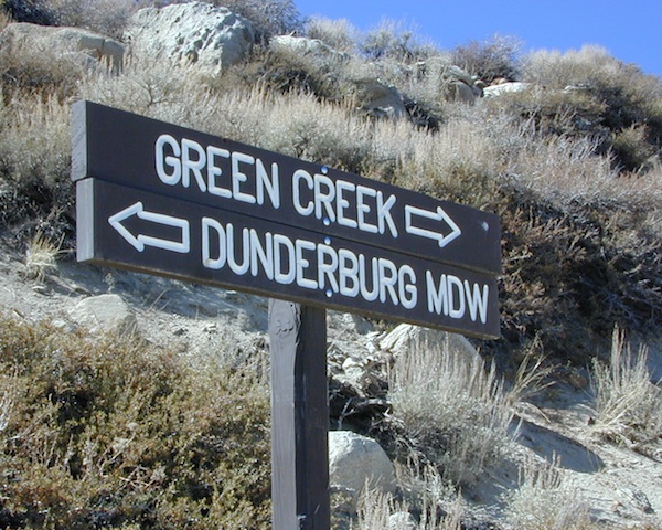
Green Creek is a 11 mile long dirt road in the lush Eastern Sierra the northern portion. The wide, graded dirt road is signed and dead ends at a Toiyabe National Forest campground called Green Creek Campground. The drive up can be washboard bumpy in some parts, but that doesn’t stop the hundreds of adventurous motorhomes that make this trek annually. This place features some of the best prime Sierra back roads camping options for RVs.
Another dirt route, Dunderberg Meadow Road peels off to the left. Dunderberg departs off Green Creek a couple of miles from the highway and well maintained. This route leads to meadows, aspens, picture perfect scenery and much more seclusion. Passenger car accessible, wide graded dirt roads to wilderness edges. Two-track one lane trails lead to meadow edges and more creeks. Very impressive views of the Sierra peaks over here on this side. Meadows are sensitive areas, wonderful for picnics and you should always minimize impact.
Plain old passenger cars can easily make this route deep into the Eastern Sierra aspen canyon. Graded dirt and4x4 could be needed winter months. Backpackers can enjoy easy access to the Hoover Wilderness trailheads. There is plenty semi-primitive camping spots along the way, right on the creek, for free…. so no need to sleep in your vehicle upon arrival.
Autumn Aspen Groves: fall colors peak in October, which is usually when the first snows for the winter season start. November – usually the freeze gets them and lifeless brown leaves dangle, until the Sierra Nevada wind gust blow real good.
Green Creek Camping
DIRT ROAD CAMPING
alpine lakes
backpacking
car camping
day hikes
fishing camping
meadows
RV camping
tent camping
Dispersed, primitive camp spots along this main dirt road are on a first come basis. You’ll need a fire permit. Many flat camps are set along the creek in aspen groves, some pines, others have cubby hole privacy. Large granite valley, big creek, bird, scenery and nature everywhere. Some folks spend weeks camping out here in the warm weather months. Fishing is a big attraction.
Old Cabin in autumn leaves, up near the top of the dirt road deep in the aspen groves
California Stream Fishing California Creek Camping
Since SoCal is more of a desert terrain, big water in California can be found elsewhere throughout the state. Natural waterways flow primarily from NorCal and from the backbone of the west coast, the Sierra Nevada mountain range. Determining the region to explore is a first step, then narrowing it down to several possible camp spots after you’ve found a good printed map (a hard copy, non digital, non electricity, the old fashioned kind).
California Rivers are popular destinations for the outdoor vacationer. The most desirable streams or creeks in California flow into a reservoir, not out of. The wilder scenery above the lake, deeper up the canyons are the secluded places we seek. Some accessed only by dirt back roads. 4×4 camps are commonly positioned near creeks. Wilderness trail heads can lead to even more privacy if you are willing to huff it.
look for the tiny blue lines, the bolder the better
– is your choice a main blue line?
– does this one creek feed into another larger stream?
– is it a creek that will be flowing strong?
– how far from a paved road is it?
Forest Service Back Roads are usually one lane dirt roads and have strange long numbers attached to them. Maybe signed, but don’t count on it. In the illustration: Look Road #22S59 is right along a creek, and maybe 22S08 has some water sources, but has a developed campground w/ possible fee. 22S59 is very likely to have some dispersed sites along it. You always have options open when you have a good map; make your back up choices when planning your destination. Have a few plan B roads chosen, just in case your first choice is too steep of a slope, or packed with RV families, or totally muddy and impassable with your vehicle.
Creekside Camping in California
4WD needed?
Spring snow melt is when the dirt roads are still closed (gated) and often quiet muddy. Some primitive camp sites may be best access with a 4-wheel drive, but each river or creek side camp spot is unique at different times of the year, due to the snow depth and land erosion process. For easy-going exploring purposes, small all-wheel-drive vehicles work well too, but clearance can be a limiting factor. You wouldn’t believe what passenger cars we see on the back roads of Baja. Almost anything goes anywhere, slowly, as long as it runs and rolls.
last tip – mosquito, where?
Screen room tents may appear unsightly, but those hungry, annoying mosquitoes don’t really care what flavor you are. Them lil suckers are abundant in areas with water, standing or still water, meadows, creek beds, especially active in the warmer summer months. Beat ’em before they hatch – camp in the springtime. By autumn their numbers seem to dwindle with the night time chilly temps, but make sure to come prepared for those colder nights.
Forest Road #7N83 – Clark Fork Rd
Paved spur road, off Highway 108, Sonora Pass
Stanislaus National Forest
Clark Creek, flows west to Middle Fork Stanislaus River
Horse camping, Campground Camping, close to trailheads
NFS Campgrounds on this road:
Clark Fork Campground
Clark Horse Campground
Sand Flat Campground
Clark Canyon is a popular horse camping area in Stanislaus, located in between 9000′ – 10,000′ elevation peaks. This Sierra Nevada area is known for volcanic features and nice meadows. A small set of (hidden) cabins and pay phone along highway will be the best landmark for identifying the Clark turn off.
Hiking trailheads on this road:
Iceberg Meadow Trailhead
Carson Iceberg Wilderness Area
Forest Road #6N06, a dirt road to higher elevations and primitive camps, is also close by. Traversing up above the Fence Creek Campground (NFS).
Lost Coast California Sinkyone Wilderness State Park
King Range National Conservation Area
Redwood groves and wilderness meet the Pacific Ocean at the infamous Lost Coast of California. Northern California is NorCal – steep trails, creeks, waterfalls, ocean views, and coastal cliffs. Mendocino and Humboldt County has numerous redwood parks and picnic grounds located near Pacific Coast Hwy 1 & US Hwy 101. This particular wilderness area is located in between Westport and Shelter Cove, just west of Leggett, CA. Situated on the west side of US Hwy 101 and only accessible via a long dirt road. The Sinkyone wild lands are managed under the California State Park system.
Sinkyone Wilderness Ranger Station 707-986-7711
Sinkyone Wilderness access –
North end – Needle Rock: 36 miles southwest of Garberville & Redway, California. Briceland Road west from Redway, this road becomes Mendocino County Road 435. The last 3.5 miles are unpaved, steep, & narrow. South end – Usal Beach: Approximately one hour north of Ft Bragg on PCH or 15 miles west of Leggett on PCH from Highway 101. Look for mile marker 90.88 on PCH. Turn north on small dirt road; 6 miles to Usal on unpaved, steep, narrow road.
ROADS MAY BE IMPASSABLE IN WET WEATHER. RV’S & TRAILERS NOT RECOMMENDED.
Usal Campground – USA Lumber Company staged a logging operation here in the early 1900’s. Now this remote spot is a popular back road campground accessibly only by a long dirt road drive. 4×4 and car camping only; No trailers or RV campers!
Dinkey is a major feeder creek originating with high altitude lakes in the Wilderness above, flowing down to the Kings River. Dinkey Creek has a seasonal large campground and a general store that is open during the summer months. Campground Reservation are common since this is a well-known destination of the Western Sierra.
in the mountains above Fresno
Located deep in the Sierra National Forest, 15 miles south of Hwy 168 @ Shaver Lake, via a very long, winding, paved road. Not suitable for large motorhomes.
Dinkey Creek Road becomes McKinley Grove Road @ intersection of historic, wooden Dinkey Creek Bridge. McKinley Grove Rd leads further south, past Sequoia trees, numerous other NFS campgrounds and on to the 2 big reservoir lakes (Wishon & Courtright). The Dinkey Road is usually only open during warmer months (MAY-OCT), snow & weather permitting.
A very popular place for summer vacations, fishing, hiking and picnicking. The day use area near the historic wooden bridge has numerous dirt parking lots, trails, picnic tables and pit toilets. Excellent place for exploring on foot with the family, or creek fishing from the boulders.
Back roads are abundant around Dinkey, leading higher up to large, granite reservoirs (with more camping options) and numerous forest dirt roads zig-zag across the mountain terrain wherever possible.
Dusy Ershim Trail is a famous Sierra 4×4 route that connects Courtright Lake to the Kaiser Pass. Granite everywhere, slow-go rock crawling, skirting in between two Wilderness Areas.
Sierra Forest Road #11S12, is a dirt road that leads downhill, past the North Fork of Kings River, from high elevations near Dinkey to the Black Rock Reservoir and meeting up with Kings River near Pine Flat. An excellent loop trip for those wanting to experience dispersed camping on the back roads, but a high-clearance vehicle is required. This road is gated and closed for winter, so call ahead to the rangers, to see if it is open before you make the journey.
Wilderness Wishon
This whole Western Sierra is home to major hydroelectric dams that create a water supply for farms and cities located in the Central Valley below.
Salmon Creek, Kern Plateau –
Sequoia National Forest
Looking to stay away from the masses camping at the Kern River?
Horse Meadow Campground can be found on the east side of the Kern River, up on the Kern Plateau. Up the infamous, steep and rugged Shermans Pass Road. How exciting!
Climb the hill slowly and cautiously, no guardrails. Up the grade, Shermans eastbound – out of the dryness of the Kern canyon. Find Cherry Hill Road, that is also the Big Meadow turn off: Forest Road# 22S12, a long, narrow dirt road leads from paved Shermans Pass Road, 10 miles out to this ideal campground. Far enough off the main road, so you won’t see much of a crowd out here.
Hunters, horse campers and hikers really like this spot. Mountain bikers are known to frequent the region as well. Forest, meadows, trails, creeks, nature, all around. Dome Land Wilderness is close by; Waterfalls hikes, swimming holes, viewpoints. Fishing, hunting, horseback trails. Dirt roads and single track trails all over – all within the vicinity of Big Meadow.
From the main Rd #22S12, the camp access road #23S08 will lead out to the NFS Campground – HORSE MEADOW. Located at higher elevation forests – 3000′ feet higher than the Kern River!
Nice forested, high country camp spots in a developed campground. The long, access road is worth it for all the scenery and seclusion. Vault toilets, piped water, maybe a small fee. Open summer into autumn, closes for winter months.
Horse Meadow Campground
• Elevation: 7600′
• Number of Sites: 41
• Vehicle Access: RV 23′ max
• Campsites Reservation: No
• Camp Fee: Yes
• Length of Stay: 14 Days
• Season: June – November
• Trailheads: Salmon Creek
Developed Campground @ Salmon Creek Trail #33E36. Hiking trailheads lead off to various destinations like, Salmon Creek Falls, Big Meadow, Cannel Meadows and Dome Lands.
SUMMERTIME: If you are coming in from Kennedy Meadows on the EAST (or the Mojave desert US 395) – first verify that the Sherman Pass is OPEN for through traffic. Ask road conditions with local rangers ahead of time. ANY amount of snow will close this whole paved route for the winter season, up until June sometimes.
Over 30 miles (one way) to the nearest general store for supplies. Pack ‘block ice’ in the cooler, instead of cubes.
Big Meadow: Forest Road# 22S12 – Sequoia National Forest
Take Sierra Hwy. N of Kernville, past Fairview & over the Johnsondale bridge; Right turn on Sherman’s Pass Road & drive up to a signed intersection (near a snow gate). NOTE: This area may not be accessible during winter months.
Turn right on Big Meadow Road, aka Forest Service Rd# 22S12. This is a very long road which is paved for the first few miles. 22S12 becomes a graded dirt road, suitable for horse trailers; it forks off to other smaller dirt roads, as it progresses through the forests & dead ends back by Cannell Meadow. The main routes are passenger car accessible, but some of the smaller dirt roads can get quite bumpy. A truck or SUV would be advisable to explore these secondary routes. Certain areas have suffered from wildfires 2000-2002.
Horses & equestrian camping are very popular in this region. There is also a fair amount of backpackers heading into the Domeland Wilderness and mountain bikers looking for premium backcountry rides, away from the crowds at the Kern River.
NFS developed Horse Meadow Campground can be found on the right via road# 23S08. Located at 7400′ elevation w/ 41 spots, in the forest. Trailhead to Salmon Creek leads directly from camp.
SPUR – side routes include:
#23S14 Cherry Hill – a few camp spots near creek & a meadow with views at the very end
#23S41 Poison Meadow
#23S13 Salmon Creek
#22S07 Big Meadow – loop road around the “Big Meadow”. Plenty of primitive camp sites around Big Meadow, but they are the first ones to fill up during a popular summer weekend. The region is perfect for backpackers or day hikers wanting to access Manter Mdw. & the Domelands Wilderness.
#24S13 feeds the last stretch of road to Rattlesnake Meadow. Taylor Creek near 24S43, features numerous waterfalls leading to the South Fork of the Kern River
#24S12 Cannell Meadow & Pine Flat. The Cannell Meadow National Recreation Trail runs thru here, from Big Meadow down to Kernville, CA.
High mountain desert camp is mislabeled on some maps as “Chimney Peak Campground” or “Chimney Rock Campground”. Pinyon pine forest on Chimney Creek, near hiking trailheads, wildflowers and Chimney Peak Wilderness. Southern Sierra ridge near Mojave Desert and California SR 178.
Canebrake Road is a graded dirt road that makes up part of Chimney Peak Back Country Byway. This rural route is a major graded dirt road located north of Highway 178 – which connects Canebrake to Long Valley up near Kennedy Meadows. Pacific Crest Trail passes next to this campground in the Southern Sierra mountains. The campground turn off is way east of Lake Isabella Hwy 178 is (near Walker Pass & PCT) and follow dirt road north to Kennedy Meadows in the far eastern reaches of Sequoia National Forest
• Elevation: 5,700′
• Number of Sites: 32
• Camping Reservations: No
• Sites Available: First come, First serve
• Vehicle Accessibility: RV limit 28′ max
• Length of Stay: 14 Days
• Water: Piped (April – Sept)
• Toilet: Vault
• Season: Open all year
• Fee: No
• Operated By: BLM
• Closest Town: Lake Isabella, CA
Bureau of Land Management
BLM Bakersfield Ranger Station 661-391-6000
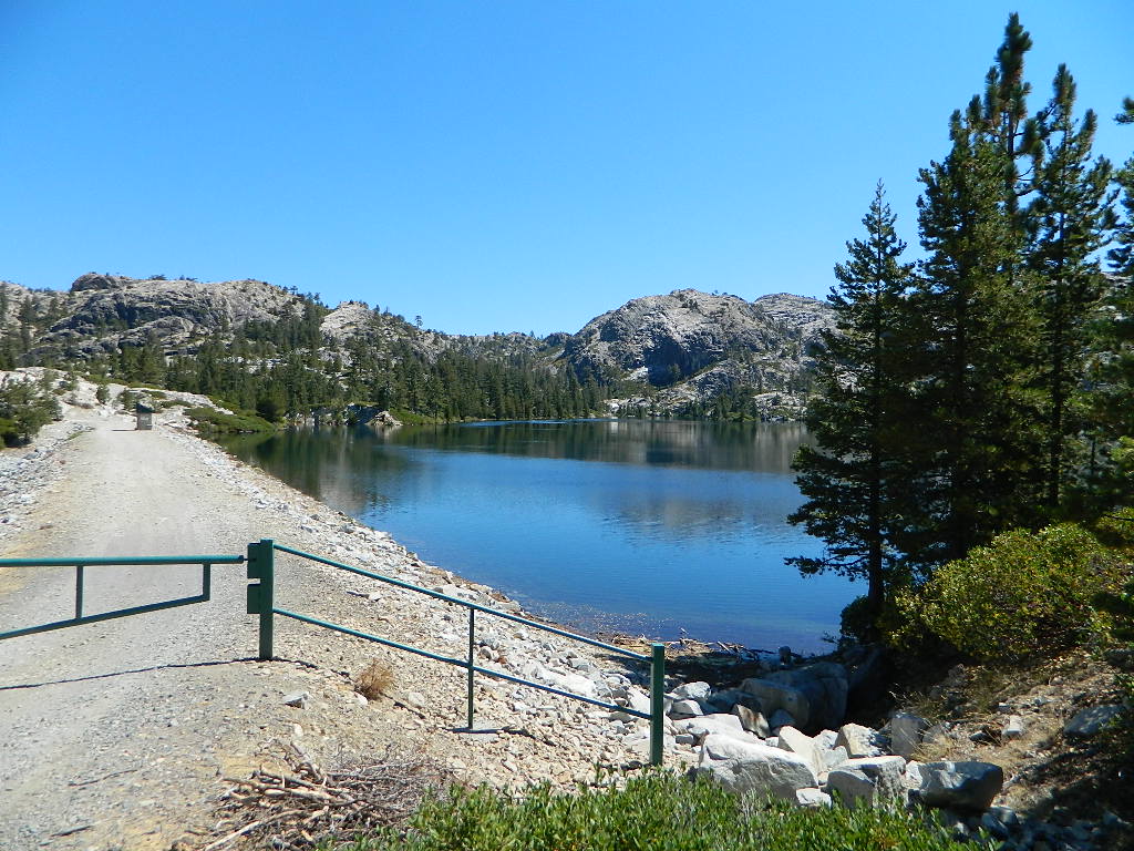
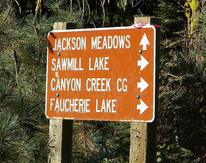
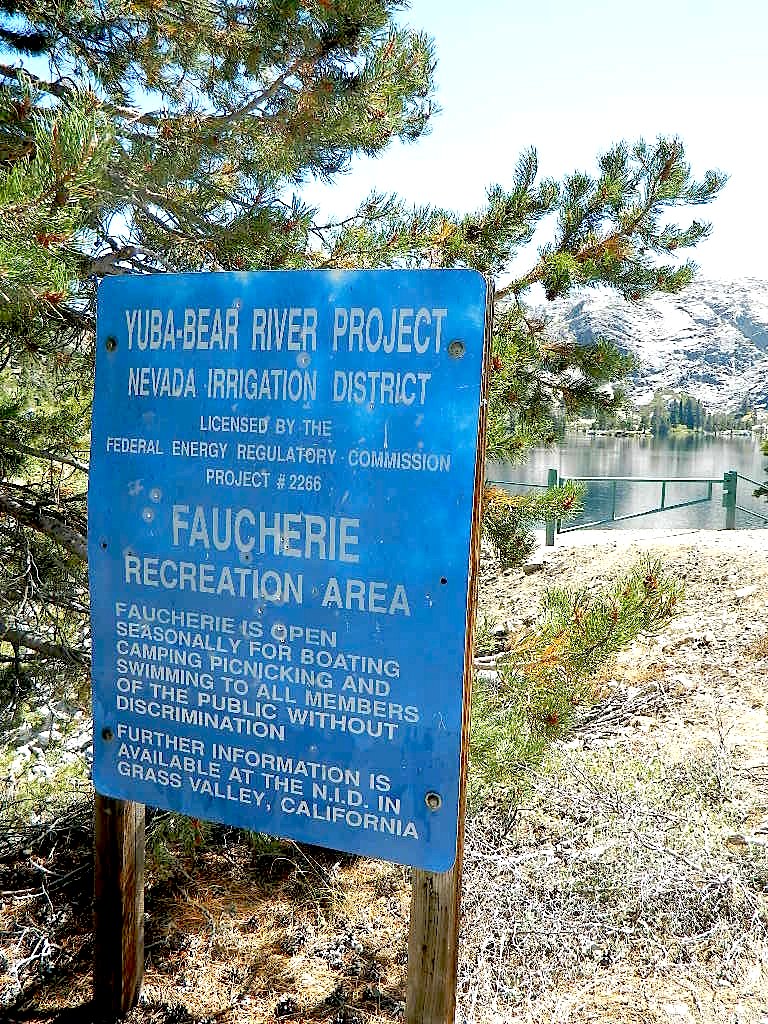
elevation 5800′ – Canyon Creek connects Lake Faucherie, Sawmill Lake and Bowman Reservoir in the Sierra, Tahoe National Forest. 20+ miles of backroad travel, off I-80.
While many consider Faucherie to be the most beautiful scenic lake, Sawmill Lake just downstream a couple of miles is still quite attractive – with dense forests and a granite mountain backdrop. Sawmill is especially nice for those who like to primitive camp, ouside of developed campgrounds. Way off the interstate @ Hwy 20, tucked in way back behind Bowman Lake a few miles, you can find Sawmill Lake.
Fishing and camping, kayaking and canoeing are all popular recreation around this lake. A trailhead on the northend of the lake leads out to even more alpine lakes (a day hike “lake loop” or backpacking option). The Pacific Crest Trail is also routed nearby.
No motorized boats or watercraft allowed. No boat ramps, no pavement, no picnic tables, no bathrooms, no fees.
4×4 Lake
Fishing Lake
Free Camping Lake
The north shoreline is abundant with dispersed campsites: metal fire rings and a clearing only; no picnic tables, no toilets. Self sufficient campers only. Campfire permits, a water bucket and a shovel are required. During extreme fire restrictions campfires may not be allowed. Check with local rangers for up to date info.
Most campsites are drive up and park, while others closer to the shoreline have only walk-in access. Hauling your gear down hill won’t seem unthinkable once you’ve seen the lakeside views. There is even a camp below the dam, next to the waterfall.
The main access Road #843-037 is very rocky and 4x4s love to frequent the area. The backroads here are best suite for truck travel, high clearance vehicles, off-roaders and SUVs. No small RVs or trailers. Passenger cars are not recommended. The access roads around the lake and up to the lake are dusty and rugged. The road below the dam is quite rough w/ rocks.
The water at Sawmill Lake is crystal clear snowmelt. The lakes around here are managed by Nevada Irrigation District, so this is why there are no engines allowed on the lake. This canyon area closes to public entry during winter months (NOV-APRIL), due to deep snow.
Lake Faucherie is set in spectacular scenery of granite mountains, with peaks and waterfalls all around. Many believe that you could only reach this kinda high elevation beauty by foot, with a backpack, but here it is – accessible by a very long, rough & rocky backroad.
No motorhomes, no camper trailers, no motorboats, no engine noises on the lake, no big families. Just well-deserved solitude, finally. Peace and quiet!
Perfect alpine lake for car-top boaters – those who carry their boats on top of a vehicle. But be warned very few ‘passenger cars’ make it back this far, due to the challenging roads.
No motorized boats or watercraft allowed. One public boat ramp; gravel parking area, vault toilets, gated entry for group campground. No more driving across dam (it is now gated).
Faucherie Lake Road – a spur road, off of the ‘843 Road’ leads up to both Sawmill & Faucherie Lakes, as well as the Canyon Creek Campground.
This primitive road forks off at Jackson Creek Campground, Tahoe NF, way, way back behind Bowman Lake. The rugged route is also known as Nevada County Rd #843-037. Conflicting numbers appear on USDA web site for this route, so don’t get confused.
The brown Forest Service signage is decent at Jackson Creek Campground – so if you get that far, you’re almost there. Sorta. Did I mention how crazy the road is? Any wet weather or snow will make this route “4×4 required”. This place is closed off about half the year, due to deep snow (NOV-MAY). Although on summer weekends, this area is busy for a remote high Sierra lakes region.
To reach this rugged Canyon Creek takes hours of driving with a good backcountry map and a reliable, high clearance rig. AWD Subies and mini SUVs beware, you’ll need a spotter on the bad sections of this road (or risk serious oil pan damage). Or perhaps maybe, we “shouldn’t be back on these kinda roads in that ‘lil sportwagon’ missy.”
Faucherie Lake Group Campground
(25 people maximum per site)
• Elevation: 6135′
• Number of Sites: 2
• Vehicle Access: High Clearance Vehicle, no trailers
• Campsites Reservation: Yes
• Camp Fee: Yes
• Season: June – October
• Trailheads: Faucherie Lake Falls, Five Lakes Basin, French Lake, Haystack Mountain
Faucherie Falls – Six waterfalls above lake:
Upper Faucherie Lake Falls #1: 39.4257 N, 120.5616 W
Upper Faucherie Lake Falls #2: 39.4257 N, 120.5606 W
Upper Faucherie Lake Falls #3: 39.4262 N, 120.5568 W
Upper Faucherie Lake Falls #4: 39.4268 N, 120.5550 W
Upper Faucherie Lake Falls #5: 39.4270 N, 120.5544 W
Upper Faucherie Lake Falls #6: 39.4272 N, 120.5538 W USGS Topo: English Mountain
Bear Meadow: Forest Rd# 23S64 – Packsaddle Creek, Sequoia National Forest
For the more adventurous & ones seeking some seclusion, Bear Meadow is located up the dirt road a bit from Thompson Camp Spring . From Forest Road #23S16 @ Thompson Camp Spring – continue straight on the dirt road #23S64, cross over the one lane wooden bridge; within a mile, turn left into a secluded creek side camping area. Note: Bears are common here (hence the name Bear Meadow)!
Packsaddle Creek runs thru this forest. Very primitive area with rutted dirt roads & sometimes overgrown; there are several campsites back in here for the ones who seek the wild. (Yes, bears & wild animals are very common way back here). If you continue on straight on the main dirt road Packsaddle Meadow also has camping spots & small corral. The last time we were out this way (2002-ish), the dirt road does not connect with highway to the west, as indicated on the map; due to landslide.
Since sport utility vehicles were invented for California yuppies, it makes perfect sense that this California market also has the awesome terrain to use these rugged rigs. After the first shopping cart door ding or windshield crack, most folks are open to taking their utilitarian vehicles on dirt roads, but some will only dream about it.
Here at Total Escape, we are here to change all that. The fear of outdoors, the unknown, the capability, the driving skill. Your SUV is a good reason to be outdoors in the golden state, at bare minimum. No excuses. Enjoy the California you never knew – and sometimes that means getting off the pavement. Yes, more than 2 miles.
SUV trail – any path, dirt road or route that can be driven on; high clearance vehicle are often necessary, 4×4 needed on occasion. National Forests, canyons, deserts, mountains, country lane style drives, some classic routes skirt the wilderness boundaries. We have it all for ya here. Rock crawling Rubicon adventures, all the way down to the leisurely ‘Sunday drive’ thru a forest to a meadow for a picnic.
MAPS will get you out there!
Dust, dirt, mud, snow. Beyond the county line, way back there, where you can discover ghost towns, old mines in the desert, hot springs, historic lodges, petroglyphs, river gorges, fire lookouts, waterfalls, and so much more.
A small but impressive State Historic Park located in downtown Weaverville, a small Northern California town located near the Trinity Alps Wilderness and the Trinity River.
This darling park is only open Thursday through Sundays (mid day) and tours can be arranged. A one room museum tells the story of the Chinese miners who came to the Trinity River region in search of gold. The neighboring temple is a historic masterpiece and has been preserved for all to enjoy. The wooden building has withstood deep snow falls and logging trucks rumbling by on the highway a block away. Neighboring museums, outdoor displays and lush creek side parks make for ideal picnic spots.
Primitive Camping Inyo National Forest – Eastern Sierra Car Camping
The mighty US Highway 395 runs from the Mojave Desert north through the eastern side of California, where the state line of Nevada meets. Mount Whitney and the tallest peaks run on the western range @ 14,000’+ the highest in elevation.
The Inyo Mountain range sits @ 11,000′ to the east side of the Sierra Nevada. Major elevations but little vegetation, when compared to it’s neighboring Sierra range. The Inyos lay in the rain shadow of the taller western mountains – but still get snow. Plenty of primitive SUV camping on the dirt roads throughout this desert area north of Death Valley.
A more forested part of the Inyo National Forest is the Eastern Sierra region. Encompassing Mount Whitney & Mammoth Mountain area, plus the entire Hwy 395 corridor. This side of the Inyo National Forest is quite different that the desert range of Inyo.
Eastern Sierra back roads lead all over the place & may require 4WD. A high clearance 2WD can still get you to some awesome viewpoints & scenery. No picnic tables or toilets are available out in the boonies, but plenty of seclusion & vast open space wilderness. INYO Forest Service Map is highly advised for this area. There are many dirt roads for dispersed primitive camping w/ no fees. See the Camping Checklist to make sure you’ll have what you need.
Open (free) Camping along Hwy 395
Monache Meadows – This high elevation (8000′) south Sierra Meadow is accessible by 4WD truck or SUV. Near Kennedy Meadows CA
Walker Creek Rd – quick camp in the lowlands; an easy in route camping near oaks & creek. Southside of Olancha CA, look for turn off & follow dirt road up into the tight canyon. No RVs whatsoever.
Fish Slough Road – open desert camping w/ popular bouldering & rock climbing areas; near Indian Petroglyphs. N of Bishop, CA
Lower Rock Creek Road– signed turn off US Hwy 395. Only a couple good camp spots tucked away in the trees. Small creek, very overgrown, traffic noise minimal. Nearby Round Valley @ Sherwin Pass had a big wildfire in wintertime (dry) FEB 2015!
Road# 4S02 – Owens Gorge Road – N of Bishop behind Lake Crowley. Free RV camping w/ boulders & pines
Road# 2S05 – Deadman Creek – Camp in pine forest on creek; no facilities. N of Mammoth
Road# 2S07 – Owens River Road – Camp in pine forest, near hot springs; no facilities. N of Mammoth
Parker Lake Road – Camp along aspen creeks or in pine forest, near lakes; no facilities. E of Grant Lake on June Lake Loop (Hwy 158)
Coyote Flat 4×4 Bishop – just west of Bishop CA is a 4 wheel drive paradise, Coyote Creek – This steep dirt road is quite a climb. A true off-roaders dream of open space, great views, large meadows, & alpine lakes. Great primitive camping along creeks, in pine or aspen forest or near small secluded lakes. Real remote Sierra high country, usually only reached by backpackers, is accessible to those who dare to venture off the beaten path of Highway 395.
At the golf course keep your eyes peeled — from the highway take Schober Ln. / Underwood Ln. due west through a residential neighborhood to the backside of the town. Find the electrical power station to the left at the base of the hills. Veer onto the slightly paved /dirt road to the right of the station & continue straight up the sandy wash. 4×4 is recommended, since the lowest gears are needed for the careful climb. The road will begin to get steep & gain in elevation fast. The area up here changes with the mileage: passing pinyon pines on cliffs, topping off to high meadows & aspen lined creeks, finally reaching large towering pines & small alpine lakes with snow melt still visible. Basically TREE LINE. This region is most likely open only half the year, due to its high elevation of 8000’+ and winter snow.
A small developed campground along forested Highway 89, with raging creek, fishing spots, and hiking trails and mountain biking trails nearby. Paved, level camp sites, small RVs okay w/ access to the numerous Sierra Nevada destinations with several lakes and reservoirs nearby.
This is a popular overnight stop “in route” for many campers and bikers traveling further on to the Northern Sierra Nevada mountains. You can exit off Interstate 80 @ Truckee, and be at this camp in minutes. Car camp, tent camping, a few spaces for small motorhomes. Plenty hiking and mountain biking trails.
Cold Creek Campground, California
on the Cold Stream;
Campground open May-October
(depending on snow)
High Sierra / Tahoe Truckee Camping
13 camp sites on Cold Stream @ 5800′ elevation; vault toilets, river and piped water, bear boxes; first come, first served camping
Max Camper Length: 22′
Rangers Office: 530-265-4531
The highway traffic noise makes this place a ‘short and sweet’ one nighter top pick, great for those camping in route to another destination. Another developed camp is on the opposite side of the highway, less than a mile north called Cottonwood Campground.
Free Camping nearby.
If you are seeking primitive camping near this area, start with Little Truckee Summit at the lakes turn off road on SR 89 – about 2 miles south of the Cold Creek Campground.
Take Tahoe Forest Road #5, a major paved road, approximately 12 miles back to the big meadows. Look for the unsigned dirt roads on left side of road nearing Webber Lake. The largest lake in the region, Independence Lake, is a paved side route off to the south. Further back on Road #5 the pavement ends at Jackson Meadows Reservoir. Very rough rocky road out to Bowman Lake w/ several developed campgrounds in the vicinity.
Tahoe trailheads lead out to –
alpine fishing lakes
mountain peaks
Treasure Mountain 7085′ Tahoe National Forest
OHV Area @ Prosser Reservoir
Tahoe and Truckee are known for their brutal winters and deep snows pack. Call CalTrans ahead of your departure if you are even slightly expecting any kind of precipitation. Truckee – winter road conditions
Up in the mountains behind Chico sits a rugged landscape of deep canyons lined with bizarre rock formations and roaring mountain creeks. Wilderness encompasses lower elevations – ranging from 1500′ – 3500′ – making this outdoor destination a winter haven, when the rest of the backcountry is covered in several feet of snow. One of the most historic wilderness areas in the state, as the aboriginal existence of the Native Americans came to an end in this area.
COHASSET ROAD climbs up the volcanic fin of Cohasset Ridge into the pine forests high above the valley floor. The paved road becomes dirt and the road name changes to Ponderosa Way (Lassen Road# 28N29). The Ishi Wilderness can also be accessed from the north side via Highway 32, near the Tehama State Game Refuge.
Go west to & visit the oceans edge or head east to explore a deep redwood canyon.
Approx. 5 miles South of Big Sur State Park and just north of Julia Pfeiffer Burn State Park, this unmarked dirt turnout area on Highway 1 is a rare find. Rocky shorelines at the historic point, plus the scenic tree lined waterfall & cross the highway & head east for a shady Redwood canyon forest with plenty of backpacking options into the Big Sur back country of Los Padres National Forest. From bright sunny ocean view hillsides to dark shady forests.
This portion of the highway cuts into a deep bend along the coast & has no markings to the paradise that lies within. A steep dirt fire road (down to the cove) with metal gate is your only clue. Dirt parking area on both sides of the road indicate that people have parked here before.
This un-signed secluded hide-away has a variety of landscape & sites to see. You could easily kill 6-8 hours just in this canyon alone!! Definitely not a hurry through kind of place. Take your time, enjoy the view, tide pools, bring your swim suits & refresh in the creek. Carry a picnic eastbound into a shady creek-bed canyon & watch the sun dance through the towering pines above.
Driving northbound on Highway 1, look for large hair-pin turn out in canyon area – approx. 3-5 mi. North of Julia Pfeiffer State Park in wide dirt areas along roadside. Located in between Julia State Park & Pfeiffer Big Sur State Park.
Hike down the dusty wide gated fire road in dry brush chaparral. The view of Redwood trees, the royal blue ocean in front of you, the sounds of a water falling creek. The trail forks off in 3 directions:
Right / Rock Beach – this a boulder lined cove where the clear fresh water stream meets the ocean. Small pools & waterfalls can be found just upstream .
Bridge Crossing / Point – through a wooden tunnel to a cliff area with tide pools & wooden structure (an old boat launch?)
Left / Up Stream – a forested canyon w/ a variety of trees; dead ends a few hundred yards up into the canyon
Another option to this canyon is the East side:
Hike up inland (away from ocean) into a densely forested creek area. Redwoods, waterfalls & boulders. Deer sightings are quite common in this area. Shady & dark this trail climbs gradually in elevation. One fork of the trail leads to an old Redwood Grove. A portion of the trail is closed 2.5 mi. up due to a landslide. But overall the is a perfect option for backpackers wanting a short hike.
Well off Highway 78, past the busy OHV area, quads at Ocotillo Wells, past all the rural homes & the redneck bar, past the Elephant Trees hike – where the road goes from pavement to graded dirt to a wild desert wash, in a few short miles. If you don’t know where you are, then you’re almost there.
This is a large wild desert wash with huge unstable walls, several areas for wind caves and a few historic markers. Lots of 4×4 trails beyonf Split Mountain, to the south. No real water in sight, except maybe the puddle you are standing in as it starts to poor. The soft sand can give way to a few heavy rain drops. May not be a great area to be during a serious storm or flash flood possibility, unless you want to get buried alive. Check the weather forecast in advance.
A ratty, small developed campground of Fish Creek is on the left side, upon the ledge. Fish Creek Campground is picnic tables & a pit toilet – at most. Ya may as well camp out in the open, off road, like the pioneers did. You can do that out here in Anza Borrego. (Just keep it clean & carry a metal fire container.)
Split Mountain, Anza Borrego Desert State Park
This portion of the “mountain” is less than a mile from Fish Creek Campground. Fossils can be found in these walls. Shade is good in summer months, when day temps reach 100+. The rest of the year is ideal weather. This mountain split from water, erosion, mega force. High walls, wind caves, desert washes, great primitive camping & 4×4 routes.
This desert scenic drive will require you to get that SUV dusty. 4 wheel drive not required. No RVs past the campground. All low lying passenger cars are warned, there are uneven areas, soft sand & boulders.
Duh, do not attempt this one when desert flash floods are possible.
There she sits, above Lone Pine California, right next to the High Sierra. Above the Alabama Hills….. at the base of Whitney, on an alluvial fan overlooking the Owens Valley & US Hwy 395.
Tuttle Creek Campground is perfect stop for RVers traveling the Eastern Sierra, beginner mountain bikers needing to explore & test their skills, or the avid backpackers waiting to acclimate & get a good nights rest in reasonable temperatures, before attempting the tallest Mount Whitney.
Tuttle Creek is a BLM Campground w/ picnic tables, fire rings or BBQs. Awesome creek camping at the base of Mount Whitney. Hear the water rushing over the boulders; soothing for bedtime or stargazing. The fishing is decent. Wildflowers like indian paintbrush & lupine can be found here in spring and summer, in the high desert sage lands of the Eastern Sierra.
• Elevation: 5120′
• Number of Sites: 85
• Vehicle Accessibility: RVs okay
• Camp Fee: No
• Campsites Reservation: No
• Length of Stay: 14 Days
• Season: March – October
• Trailheads: John Muir Wilderness
From Lone Pine CA, head West 3 miles on Whitney Portal Rd, turn LEFT on Horseshoe Meadow Road, within 2 miles, turn right on a dirt road that leads to the campground.
Tuttle Creek flows past campground; No drinking water.
Pit toilets; Some shade.
HINT: On the dirt back roads, on the slopes of the Eastern Sierra, between Lone Pine & Bishop, you can find & fishing holes & primitive camps (free camping) on any numerous of creeks; some you can park so close that you don’t have to leave your vehicle to fish. You may need a high clearance vehicle to reach some.
On the north end of Bishop CA, running parallel to & on the west side of Hwy 6, is a long dirt road called Fish Slough Rd. Indian petroglyphs can be found out here & also on the ridges along Chalk Bluff Rd (to the south). The entire region is called a volcanic tableland & hot springs are very common in this region. The Owens River Gorge & Lake Crowley are to the west. High clearance vehicles are recommended for traveling these back roads, but 4×4 is rarely needed.


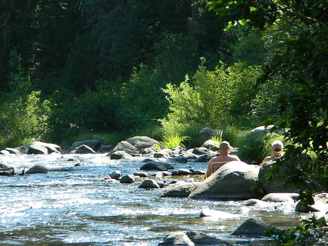

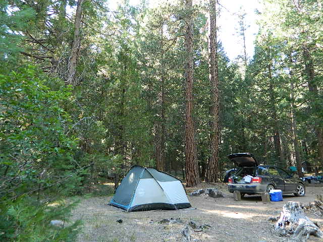
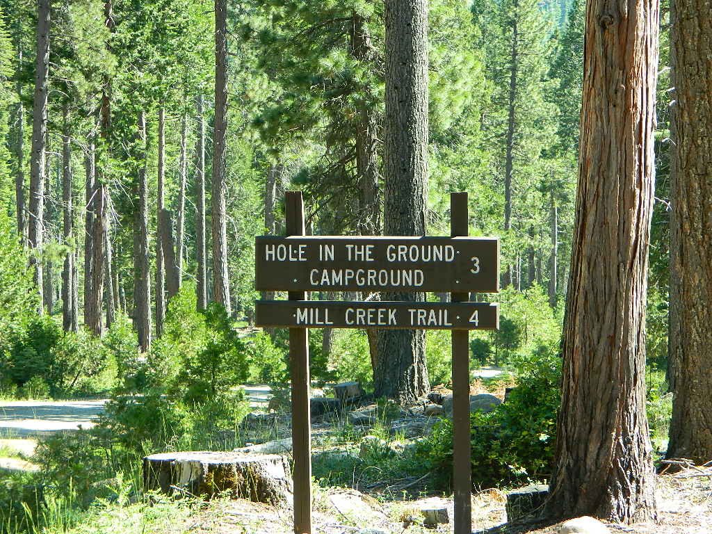




 NFS web link USDA
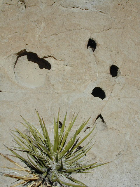
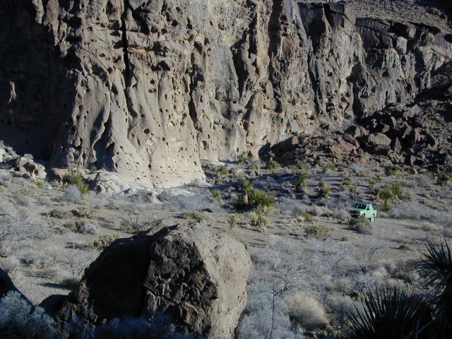
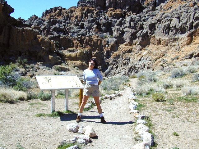
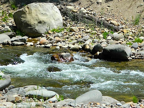
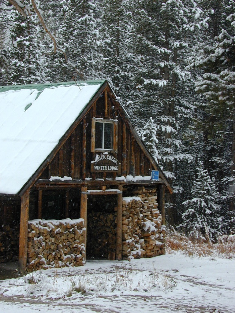
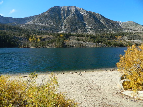

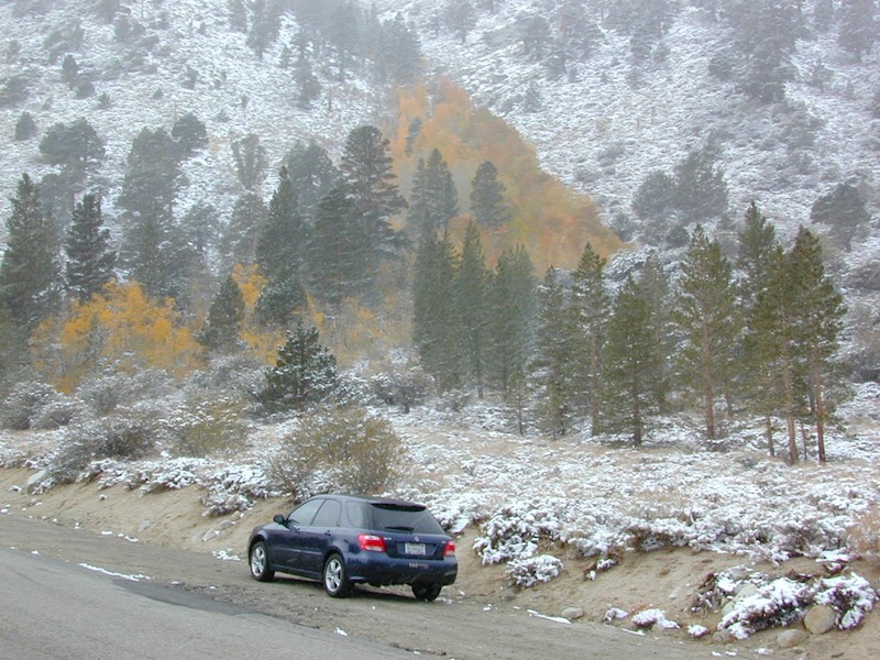
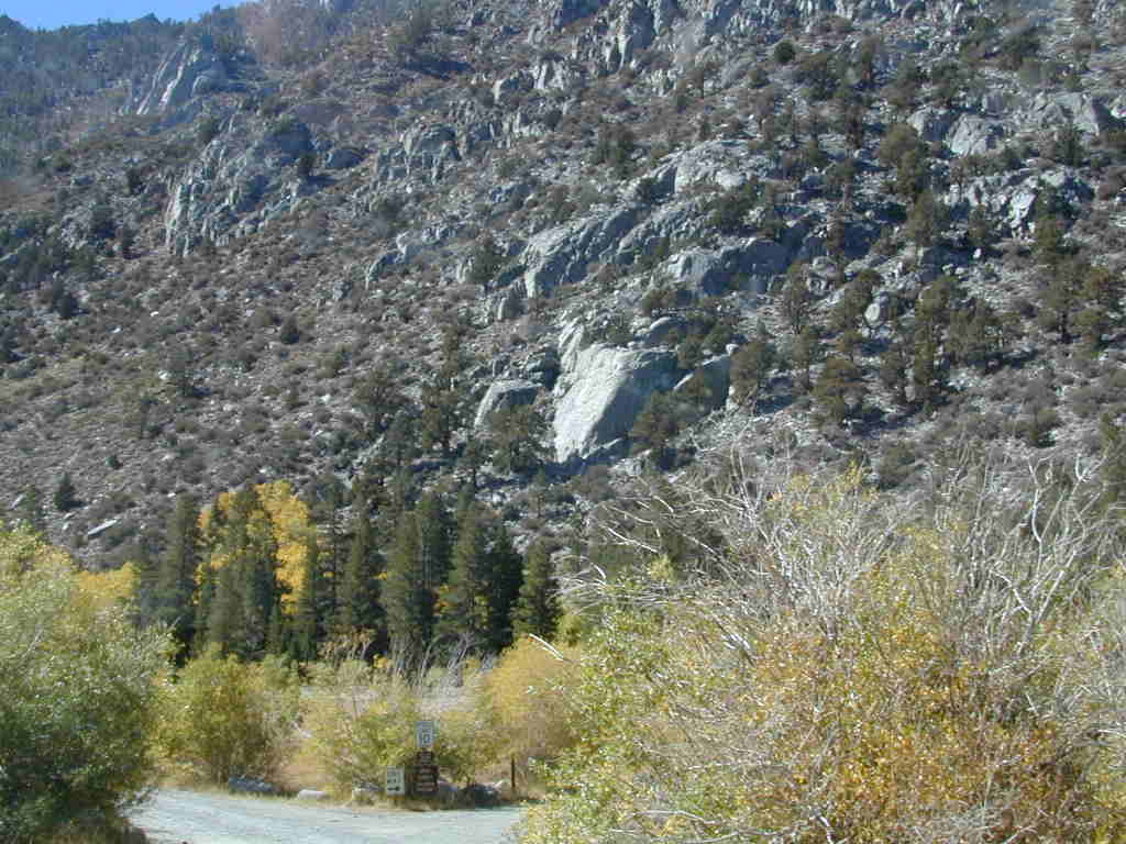
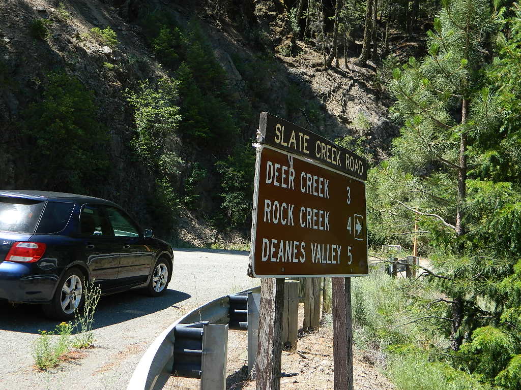

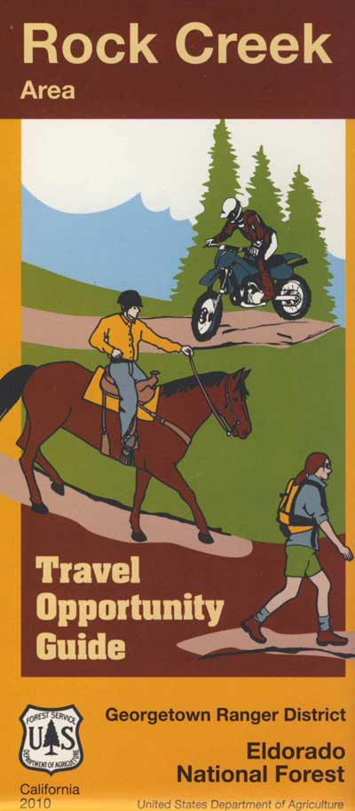
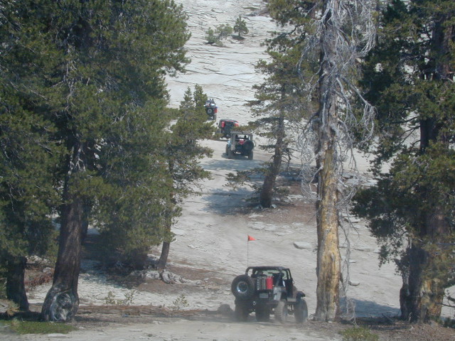


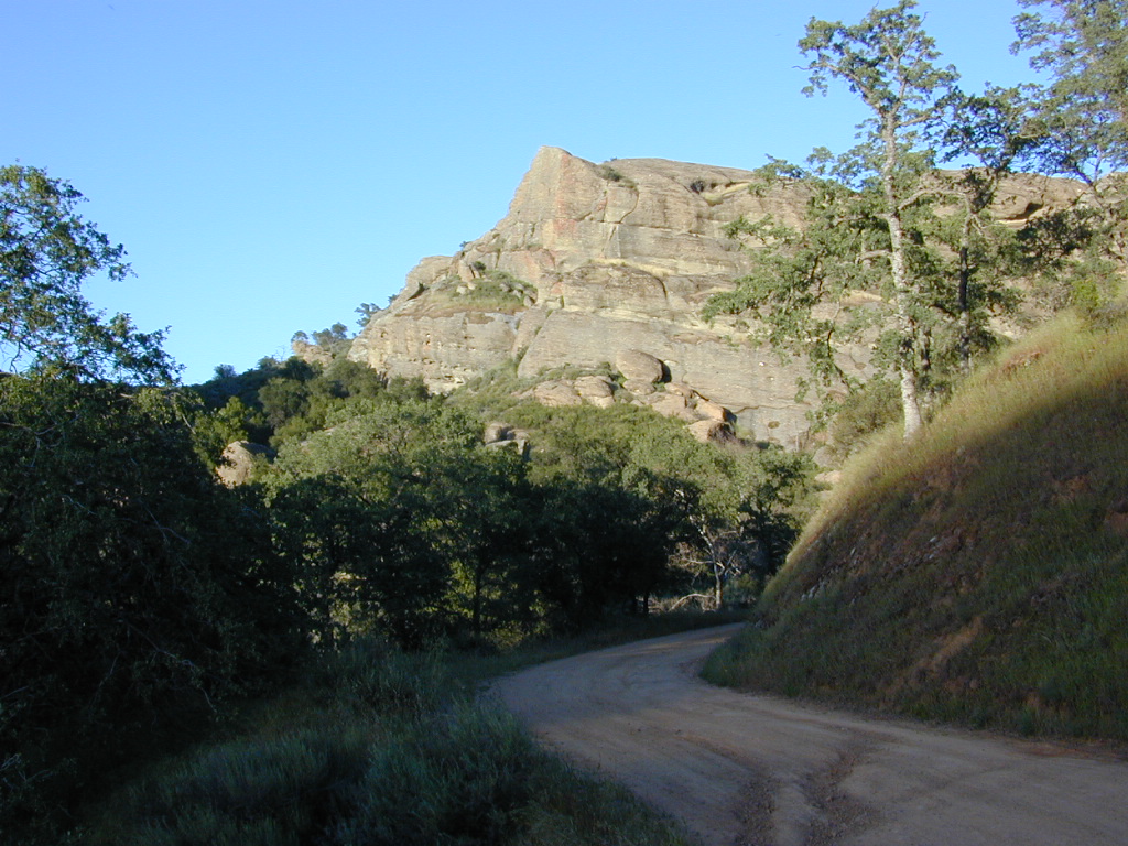




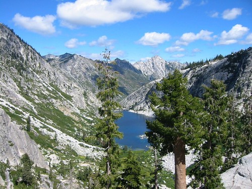
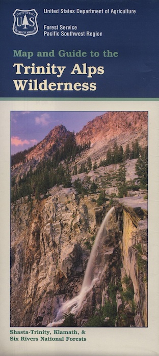


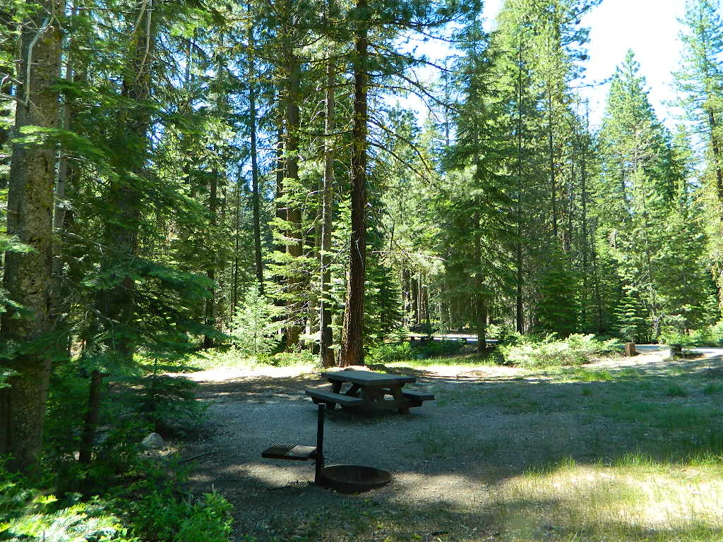
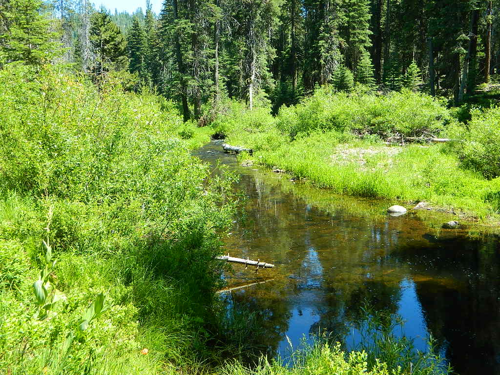
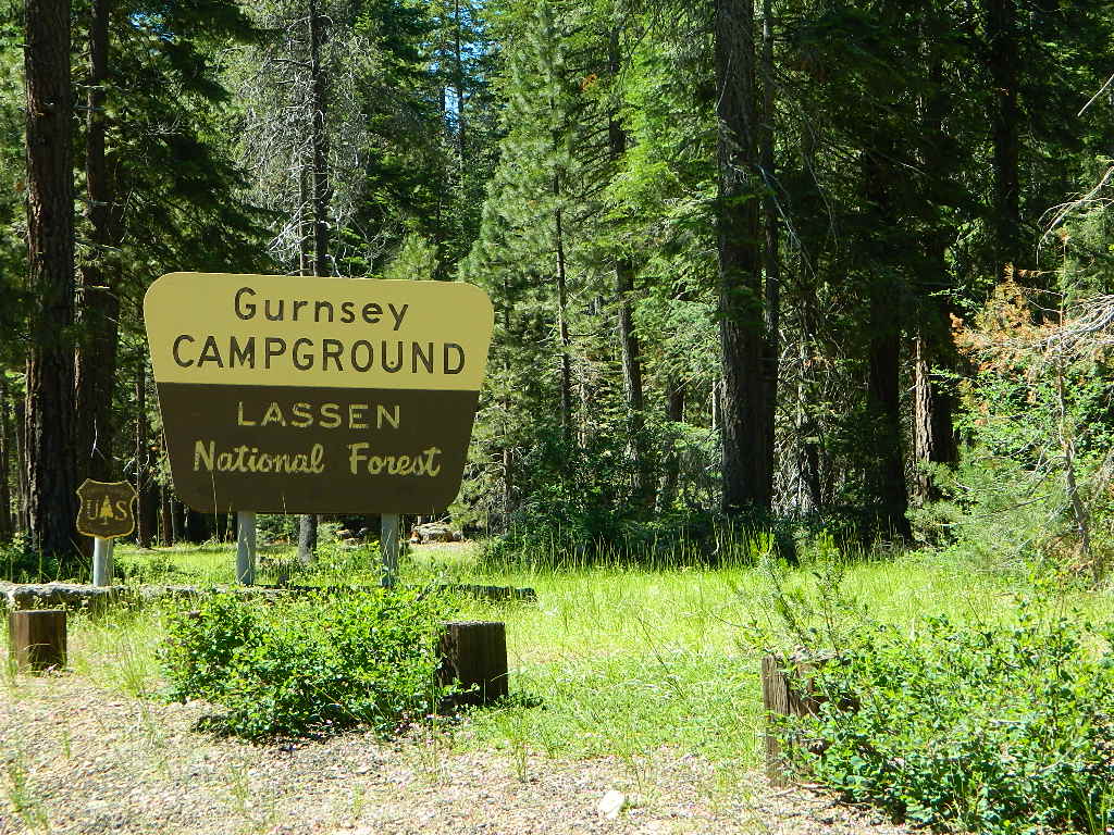


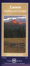
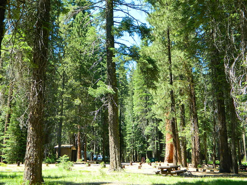
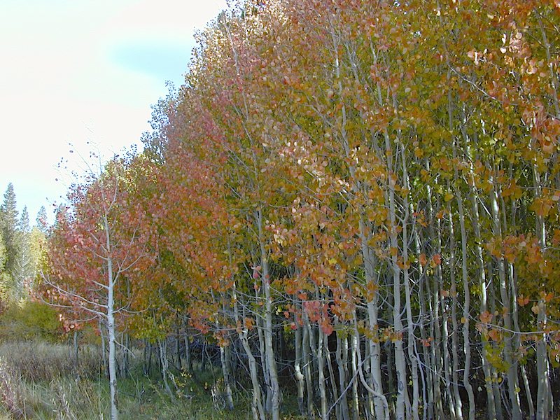
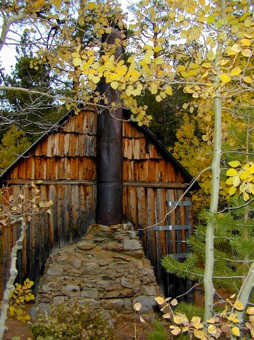
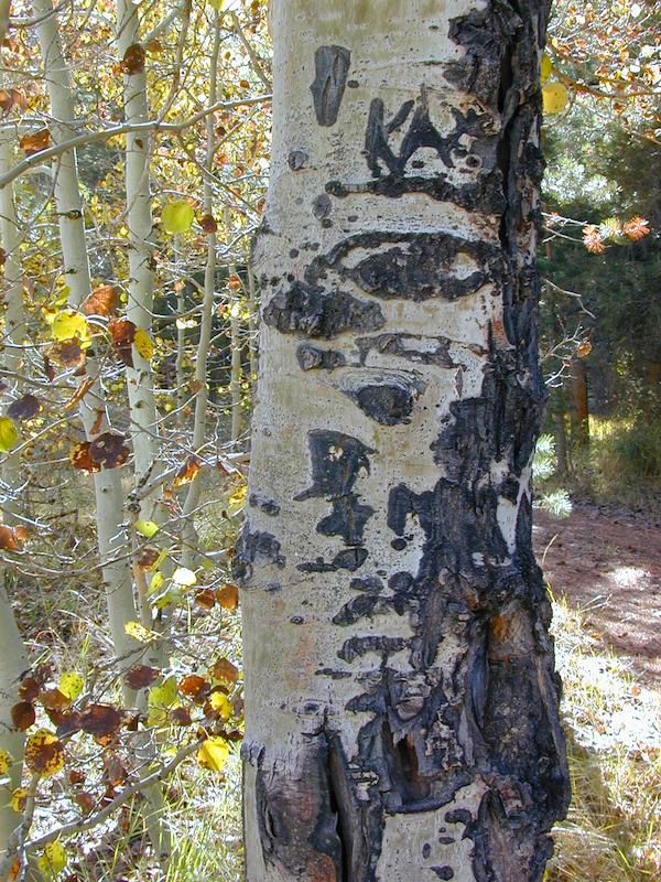


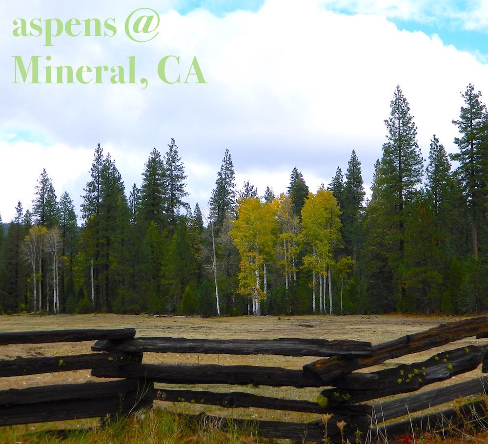
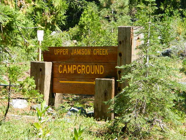
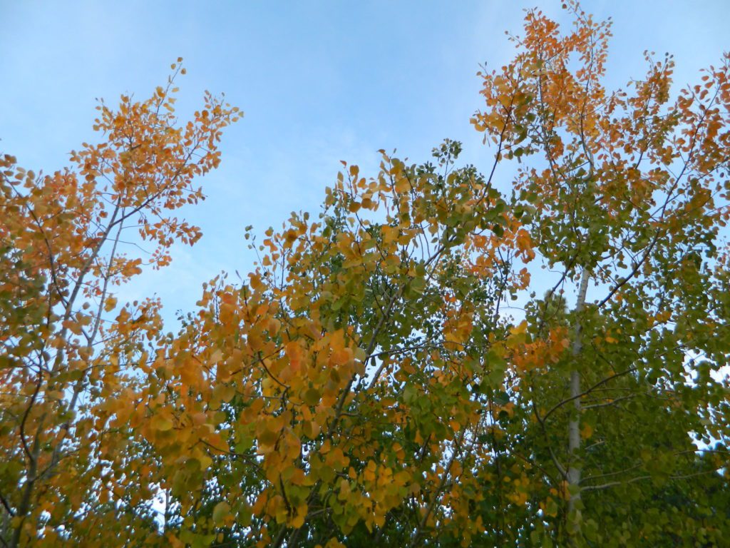
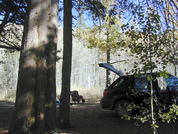
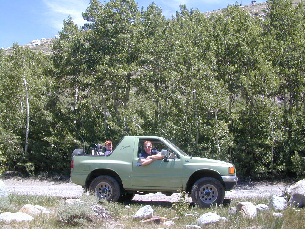
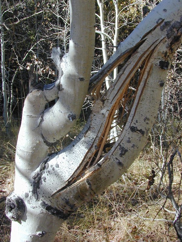






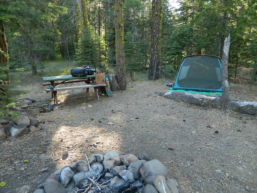
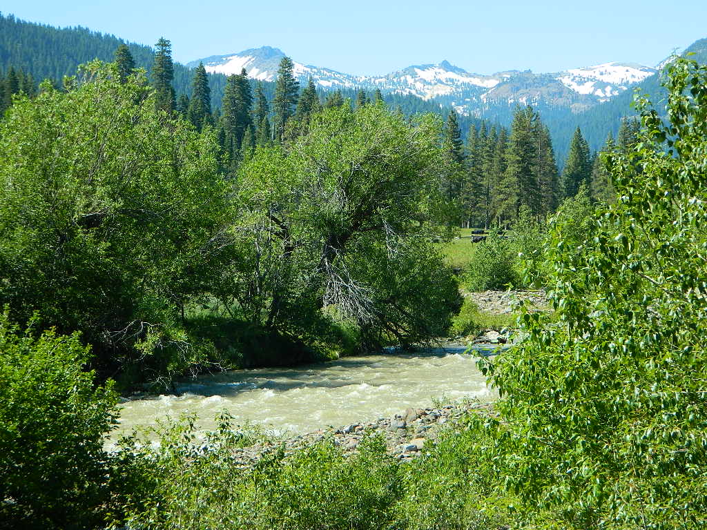
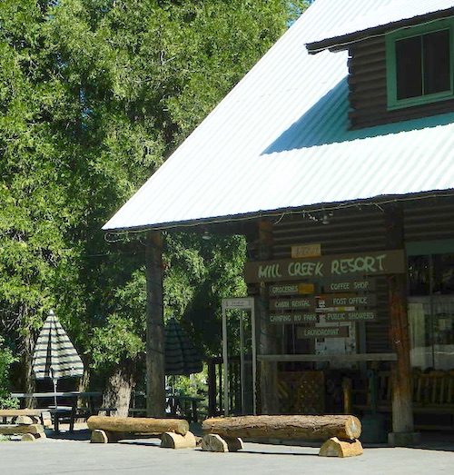
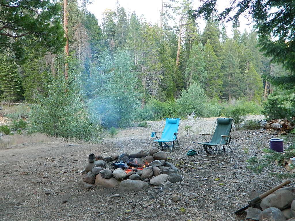
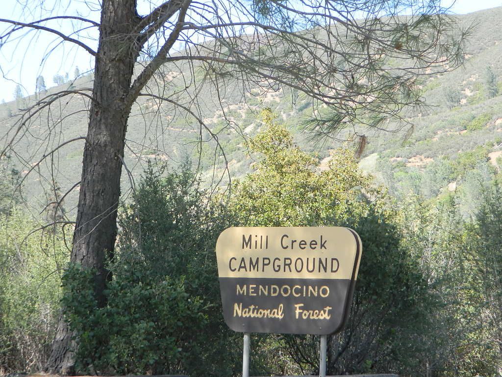
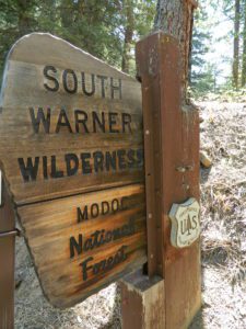
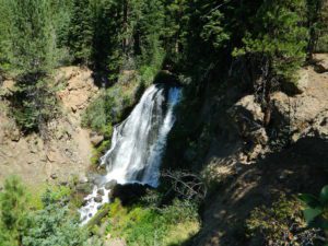
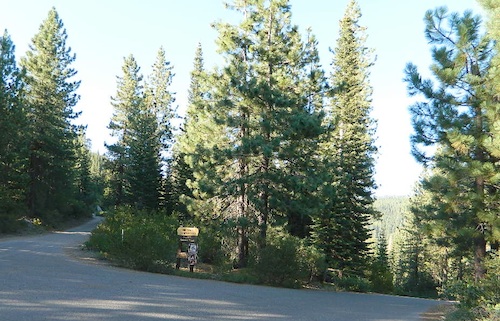
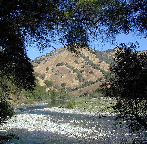
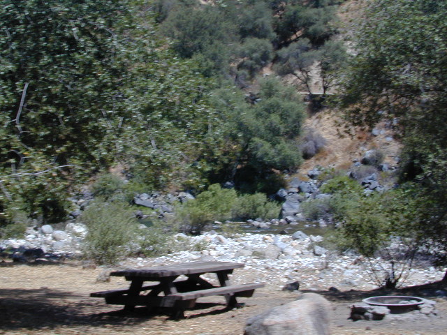

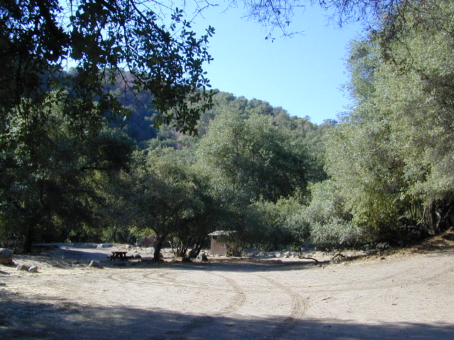
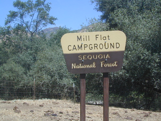


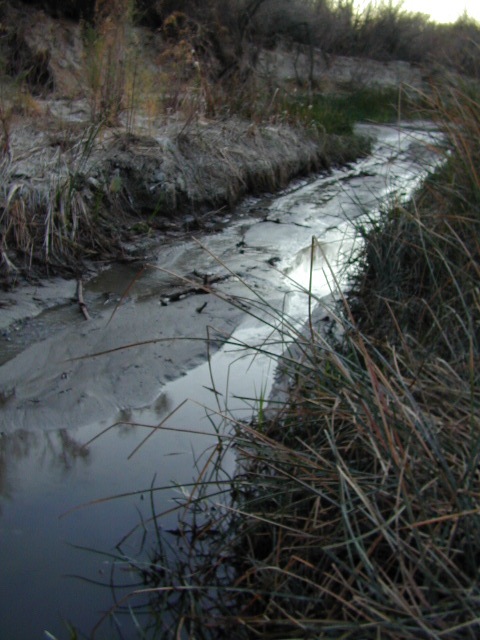
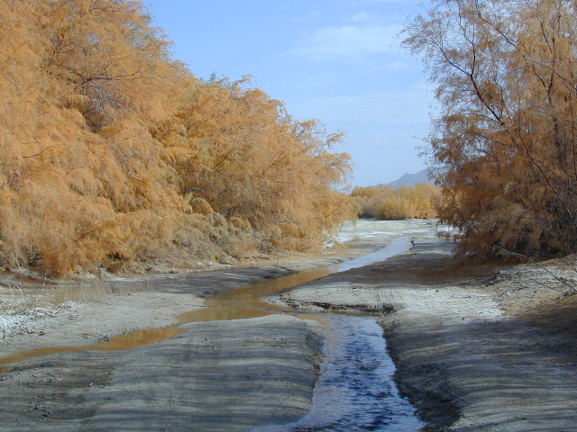
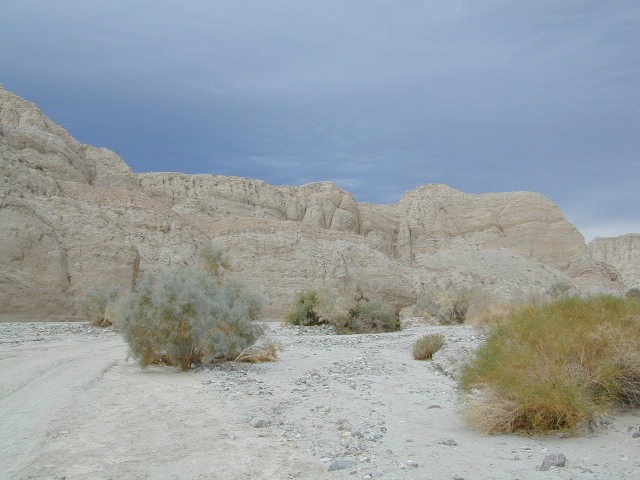
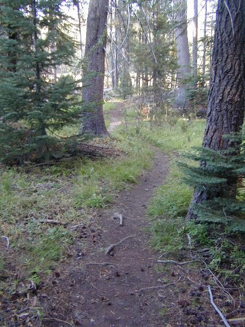
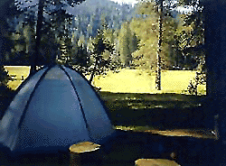


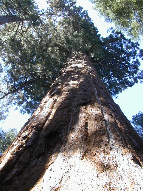
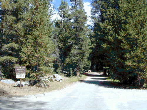
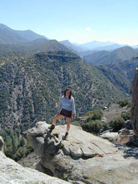
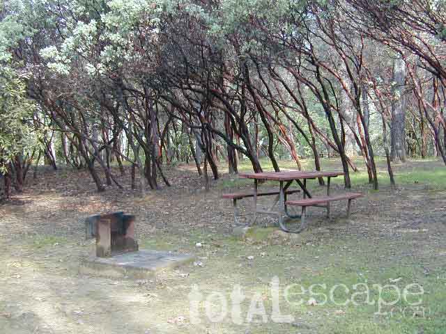
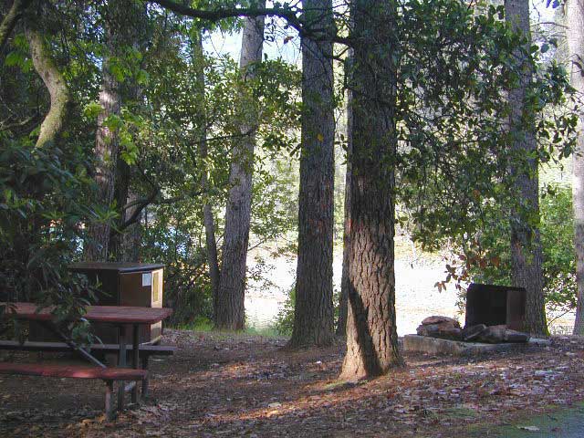


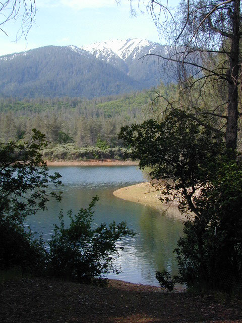
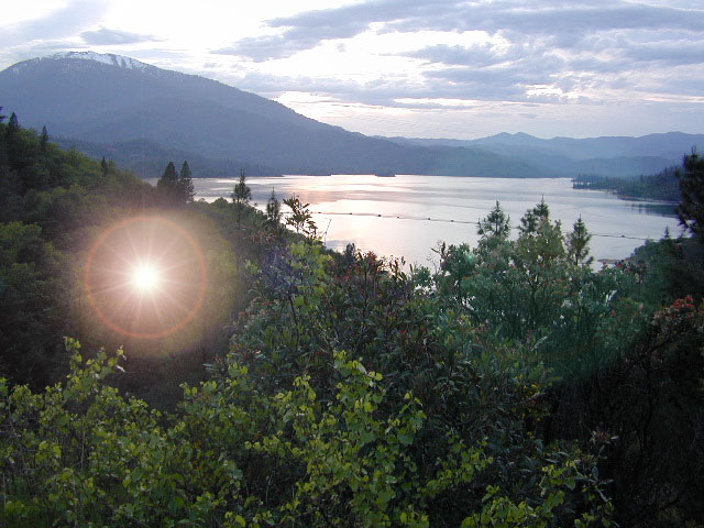
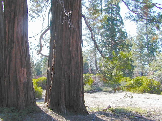
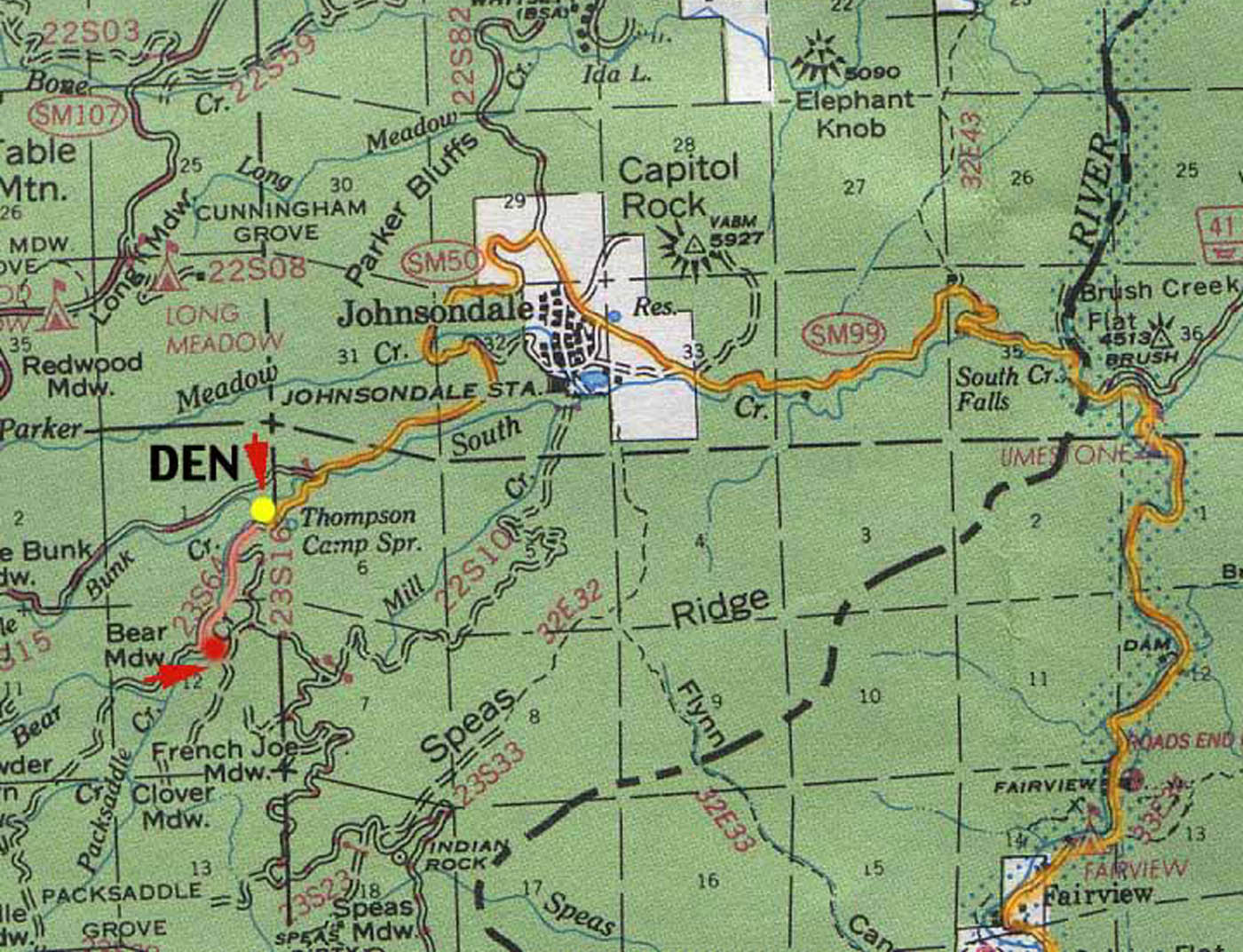
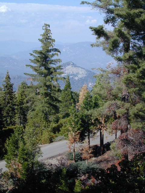
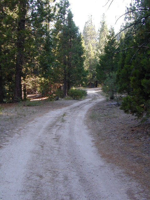
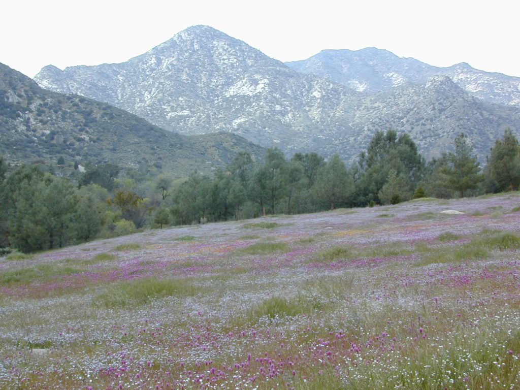
 Many of the best creek camp spots are located outside of developed Campgrounds. Most we suggest on this site are located on dirt roads. Some routes may require a 4×4 vehicle, or high clearance 2WD.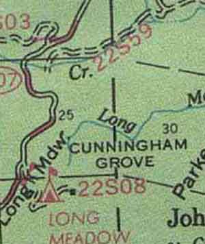
 And if you are really not into to roughing it, but wanna find a CABIN on RIVER or CREEK, check out our extensive list of all vacation cabins here,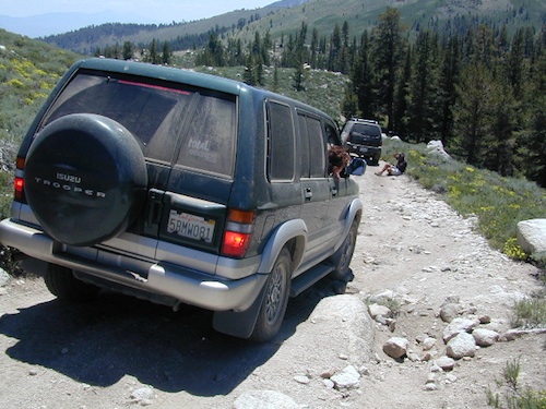
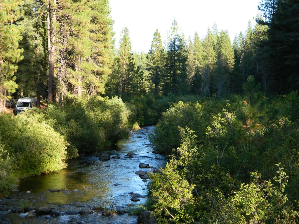
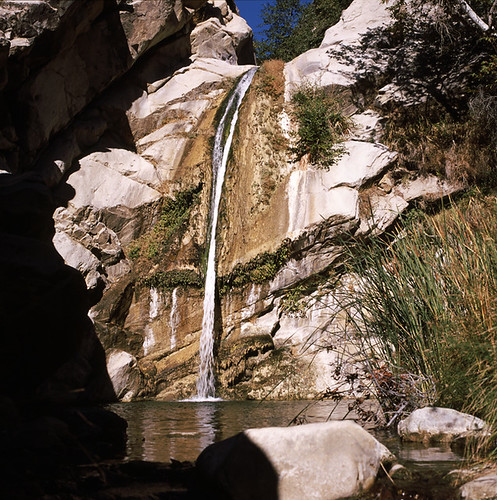
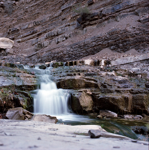
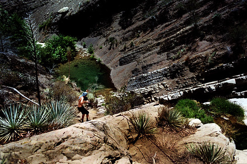
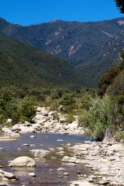
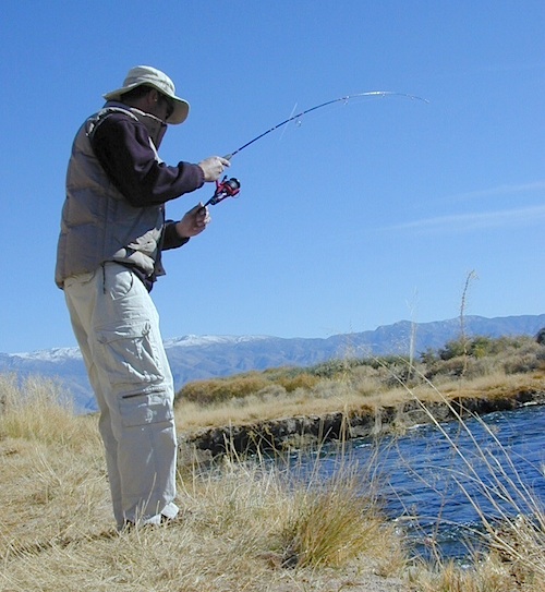






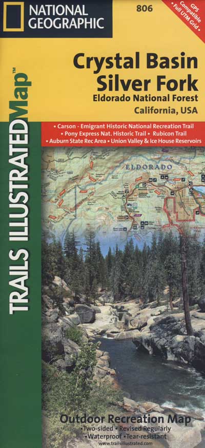




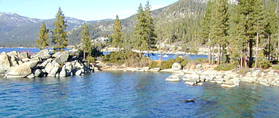
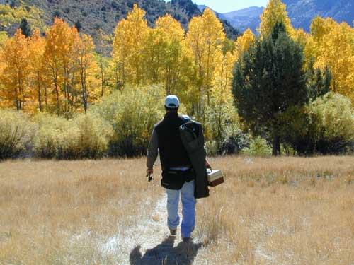





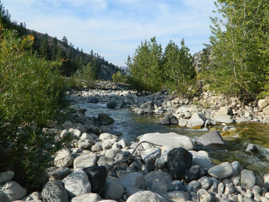



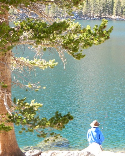


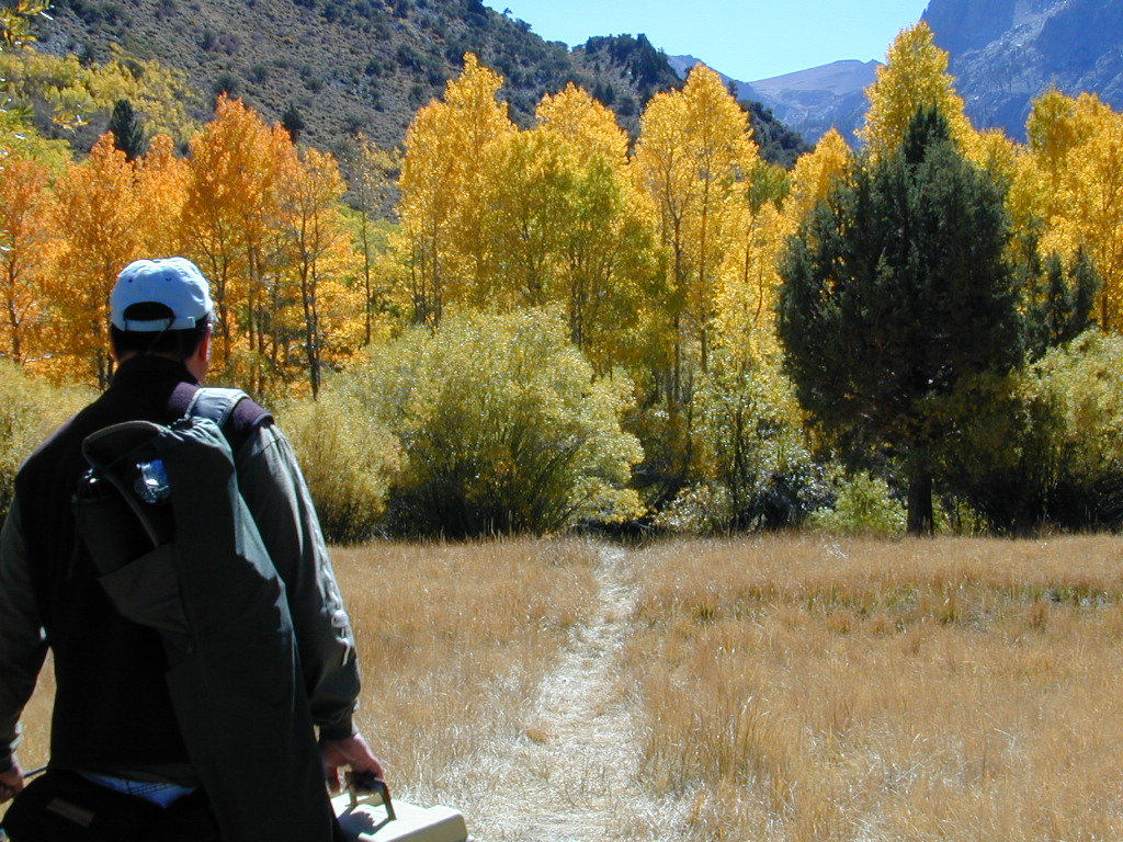
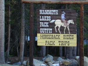
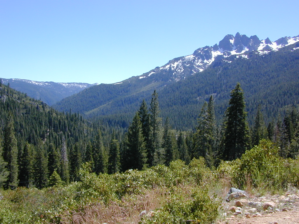
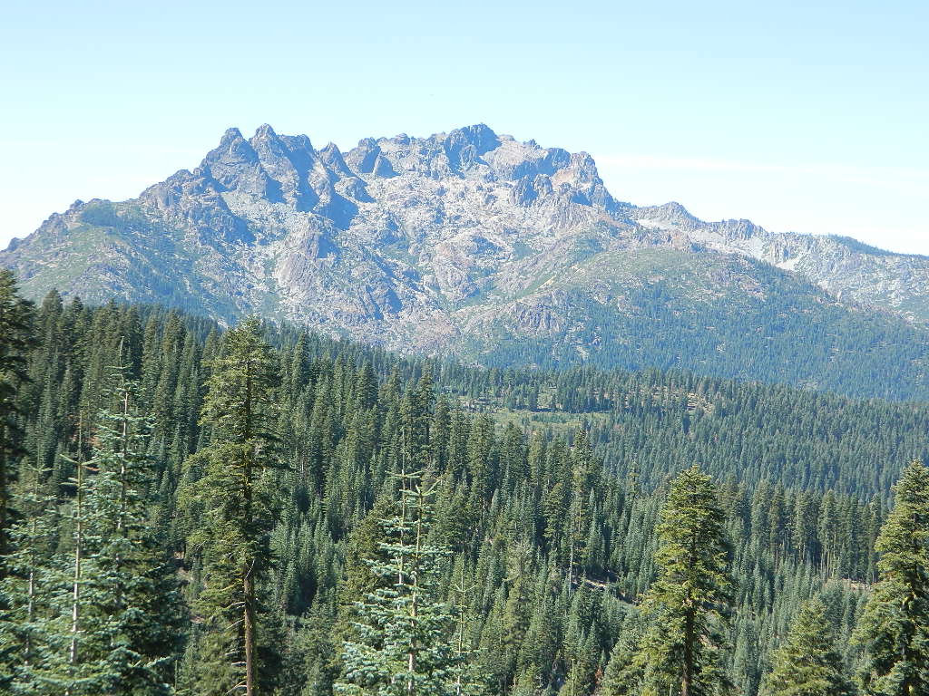

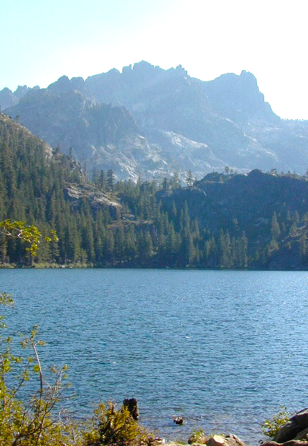
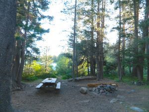
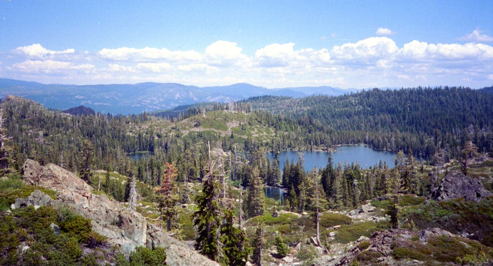
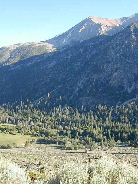
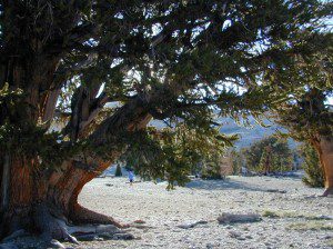
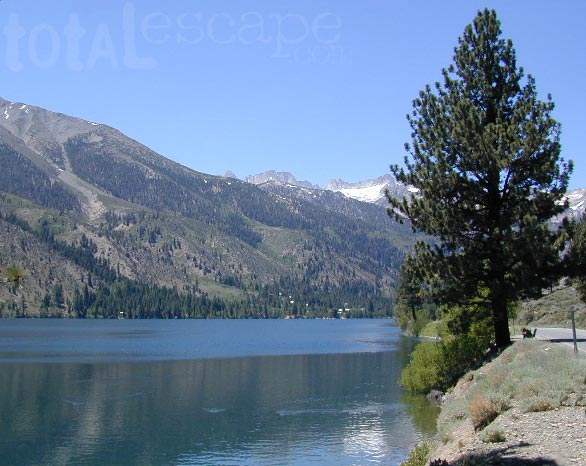 Eastern Sierra communities include:
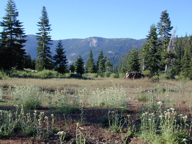
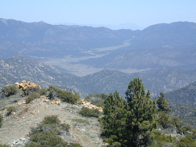
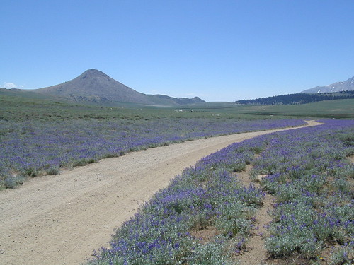
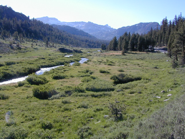
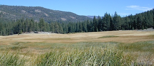
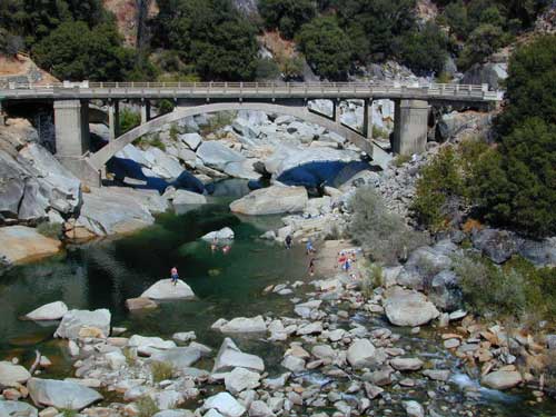
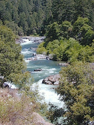


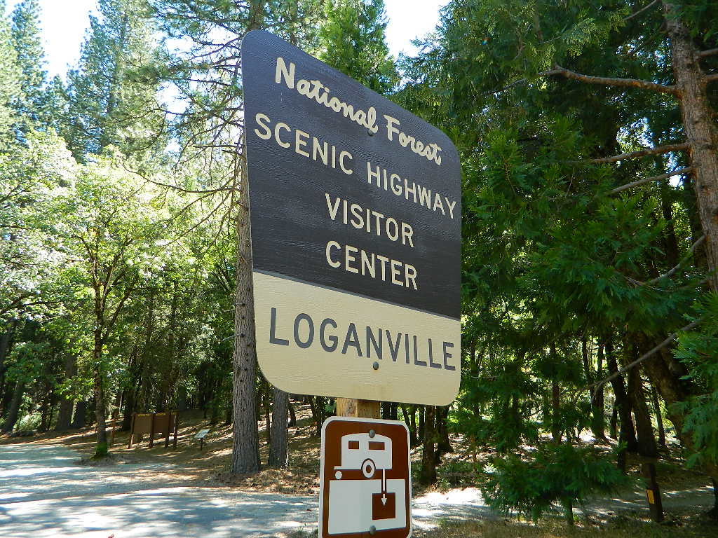

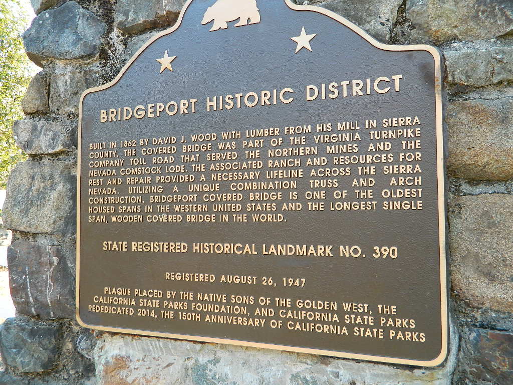
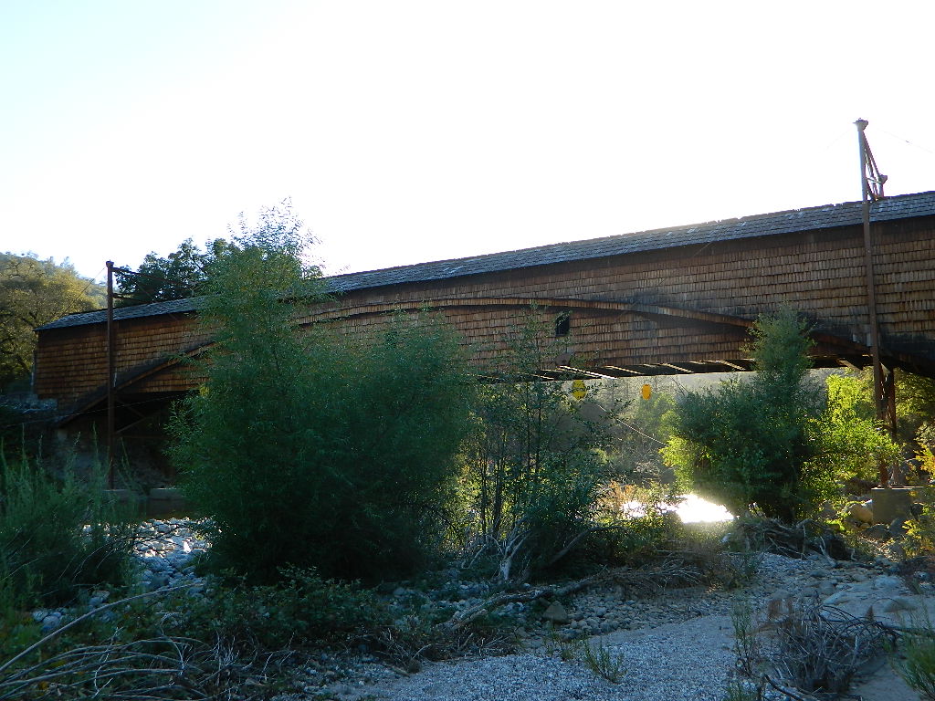
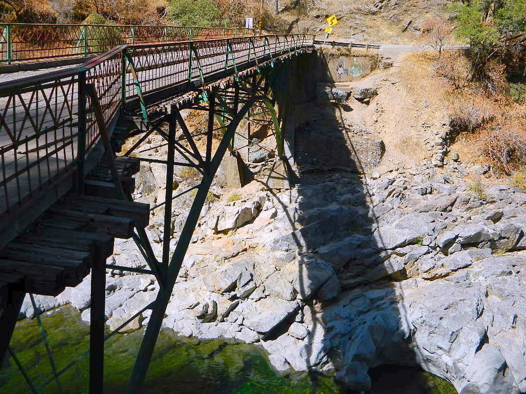

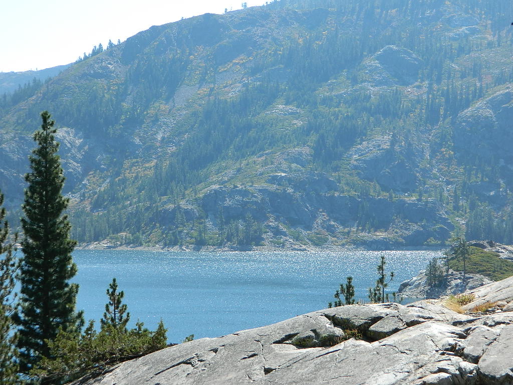

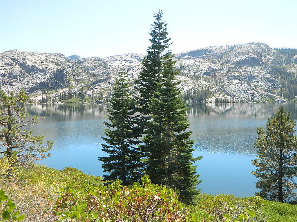
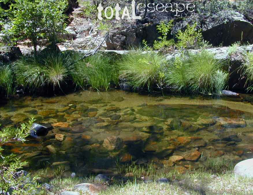

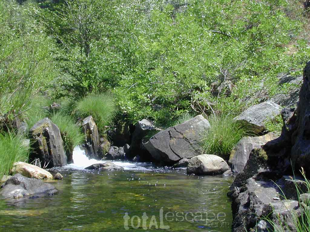
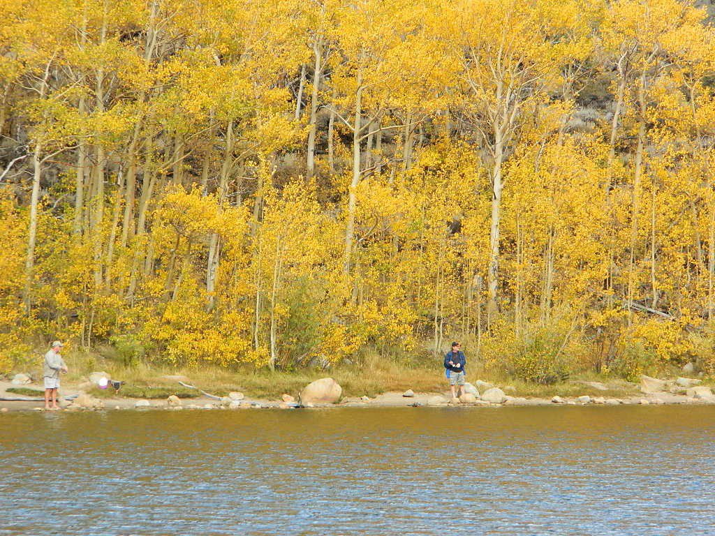

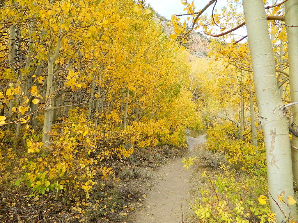
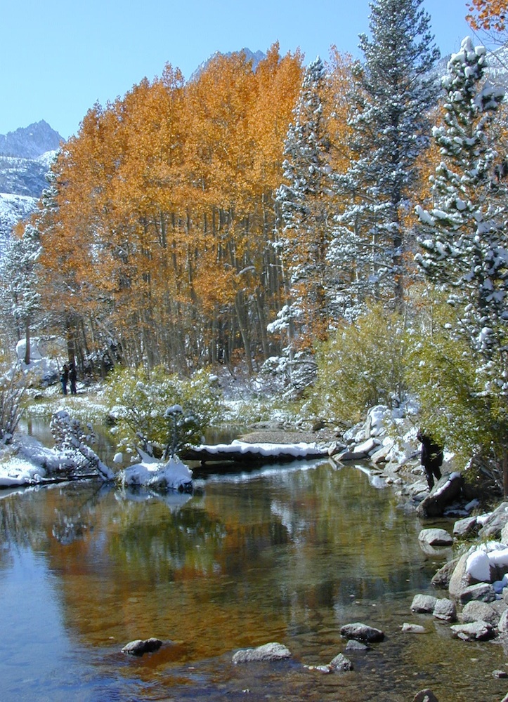
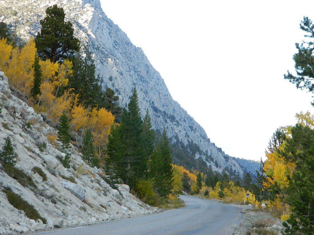

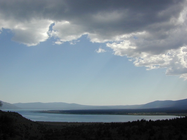
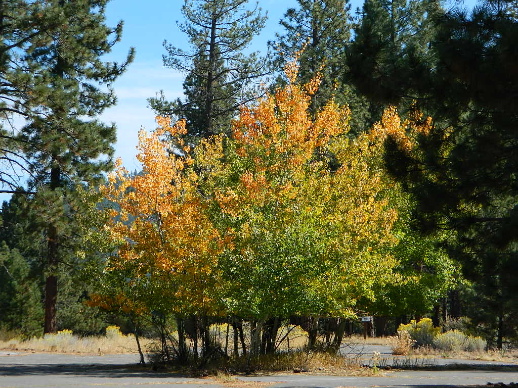
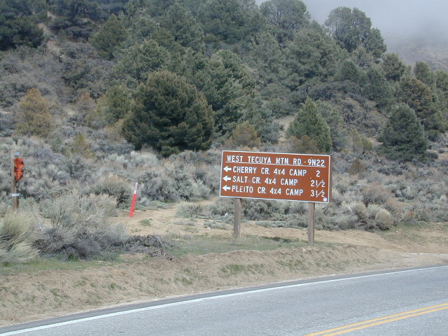
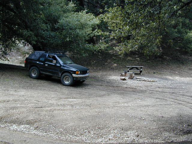
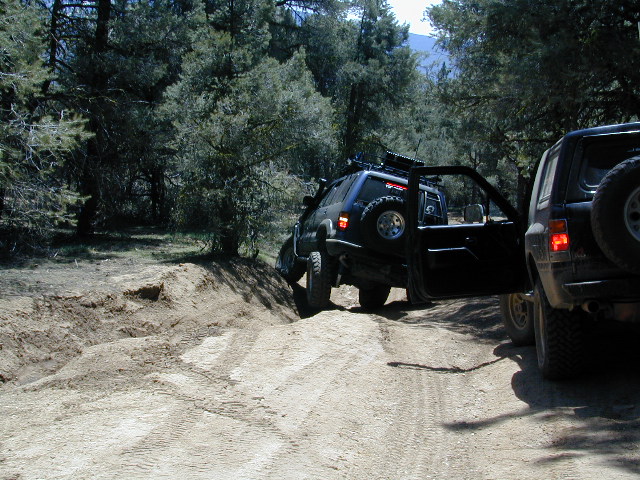
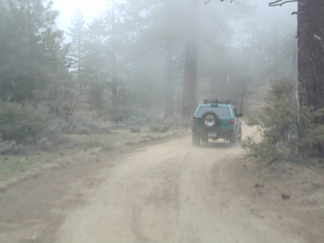
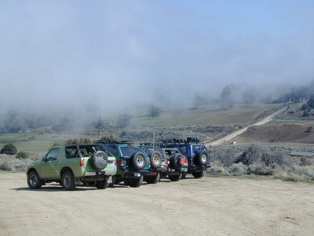
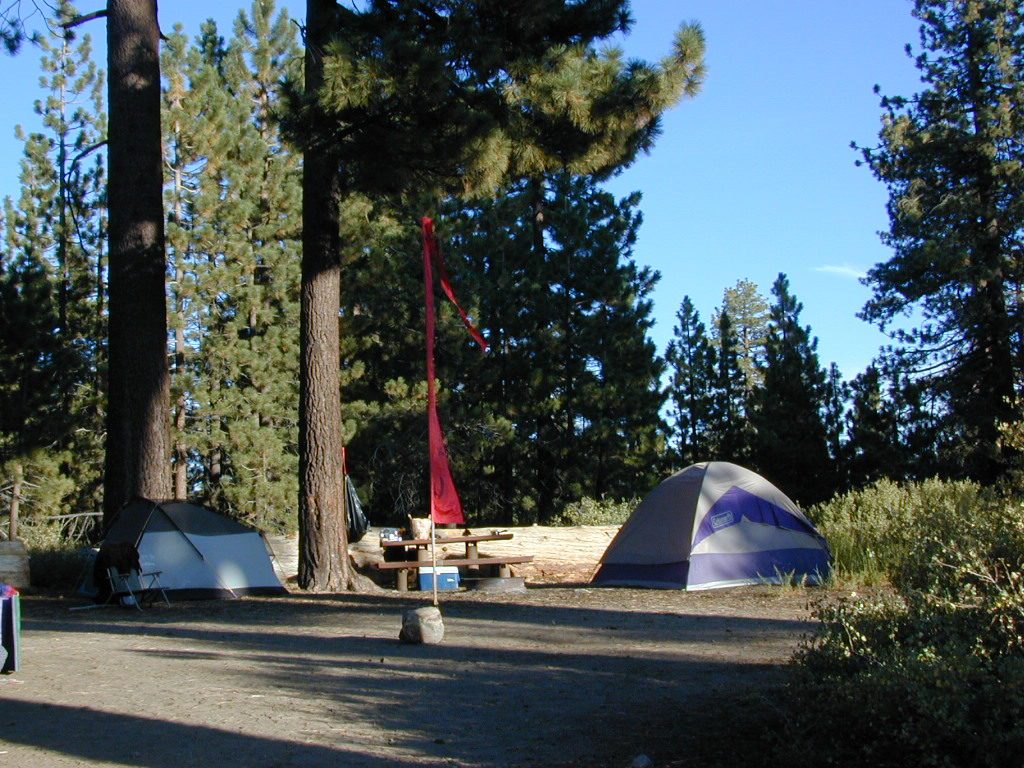
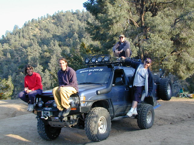
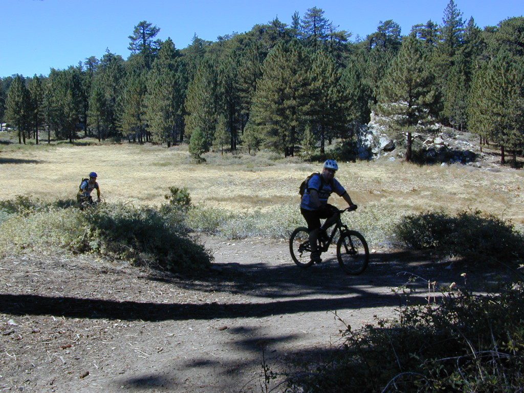
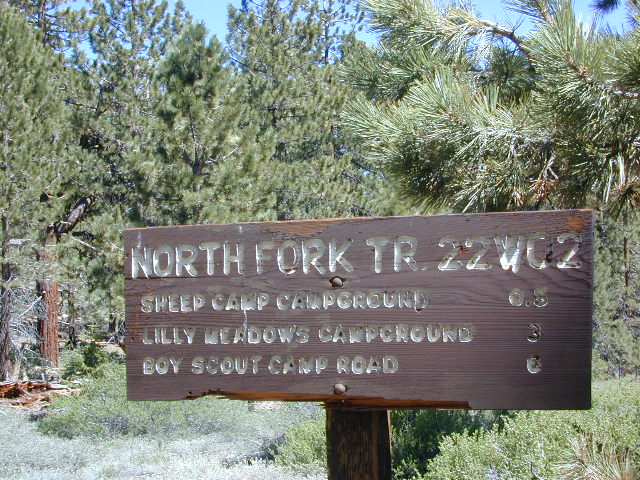
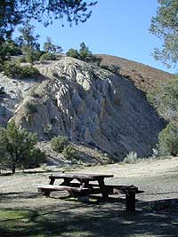
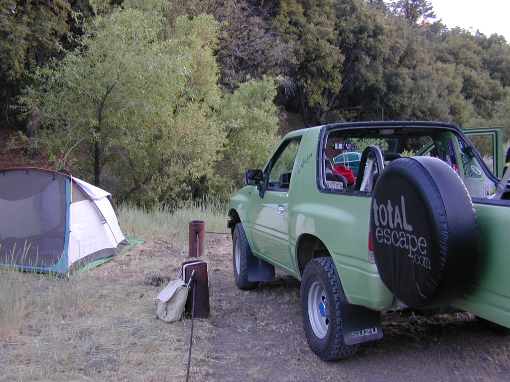
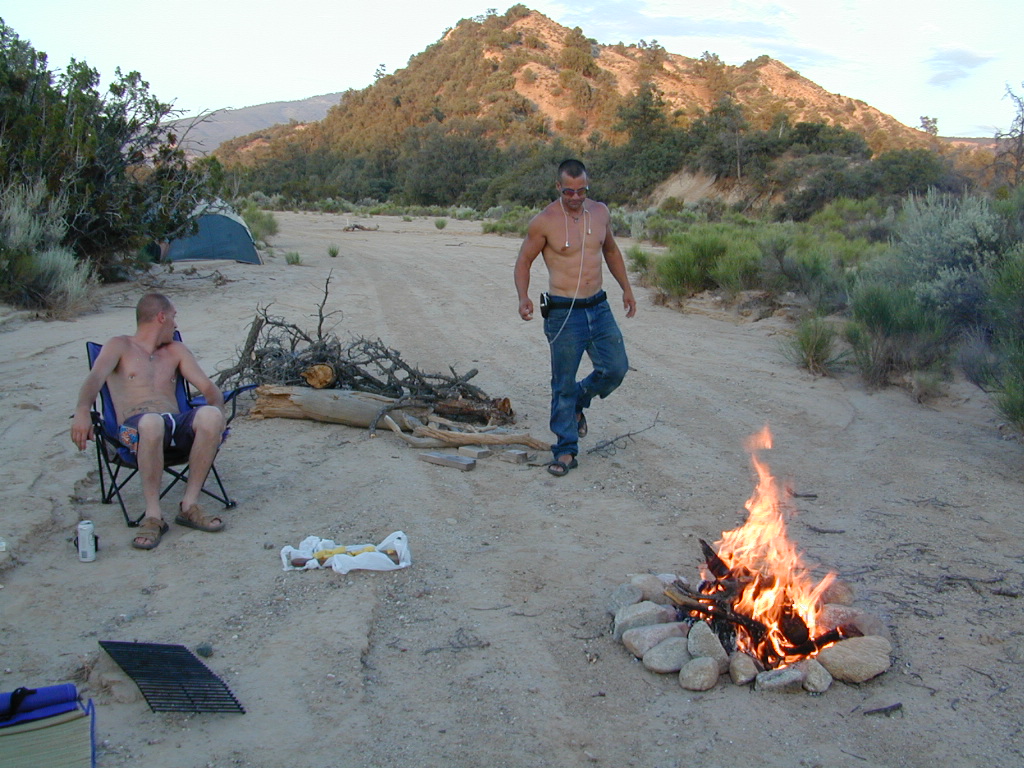
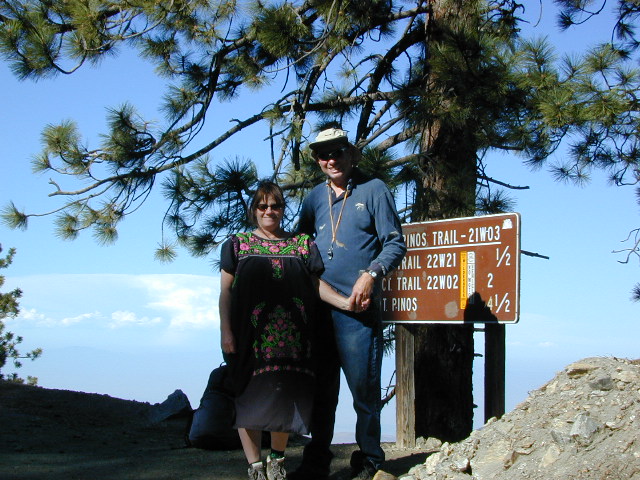
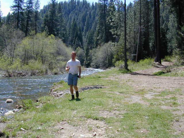
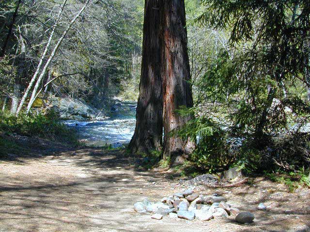
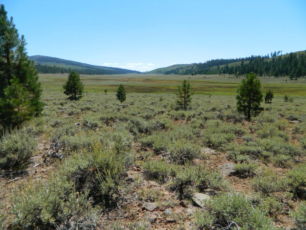
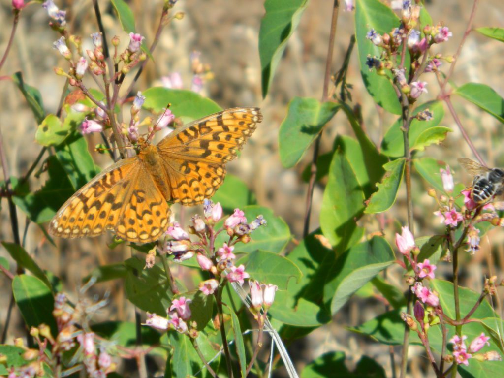

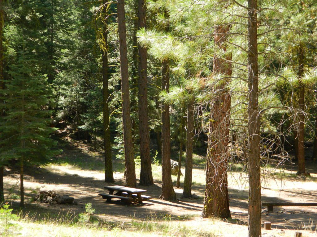
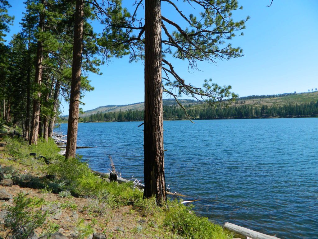
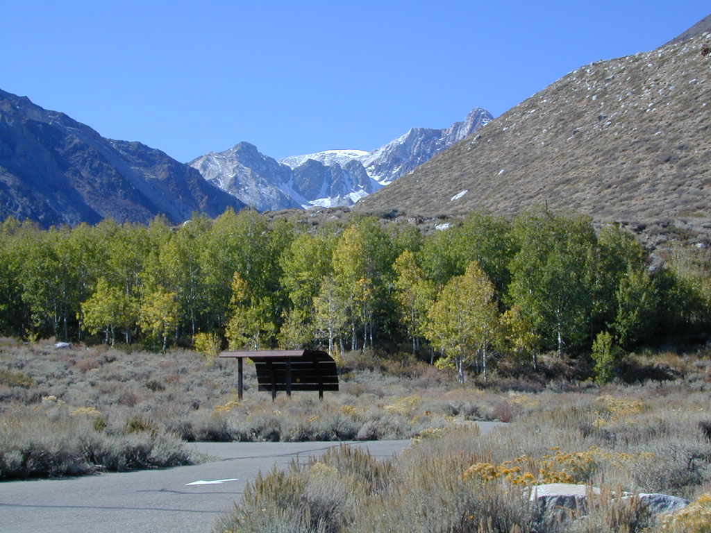
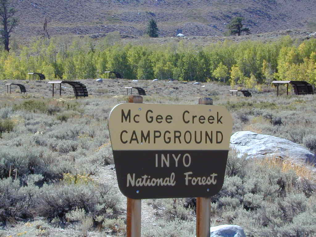
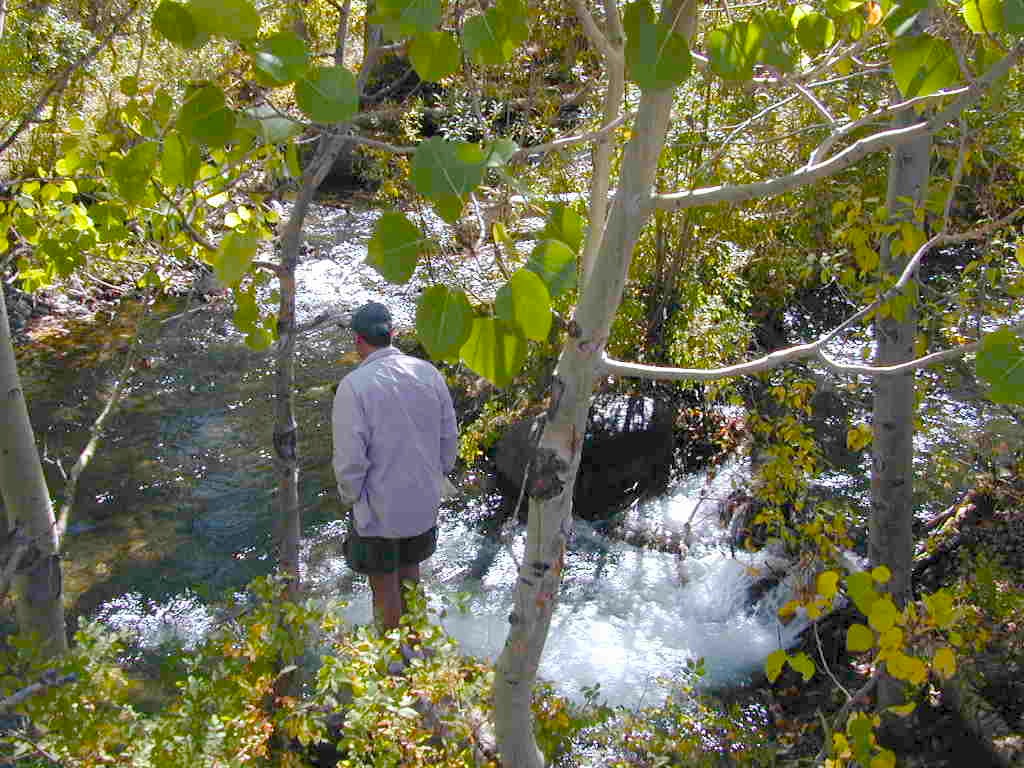
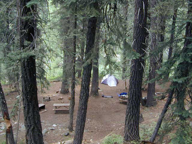

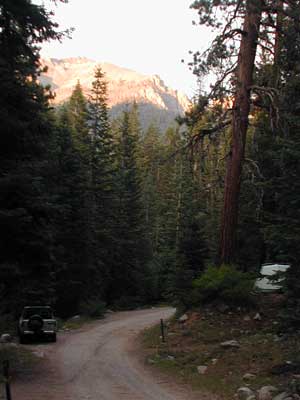
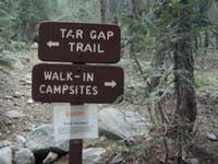
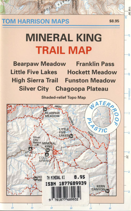

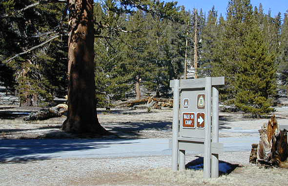
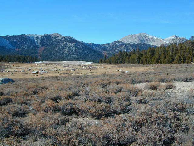
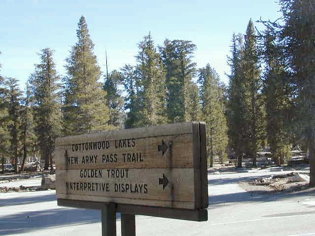
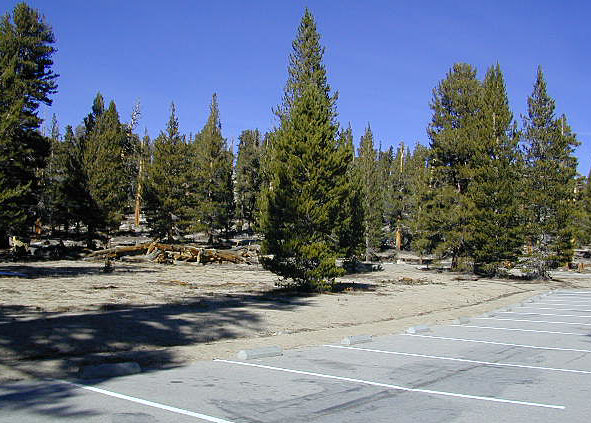
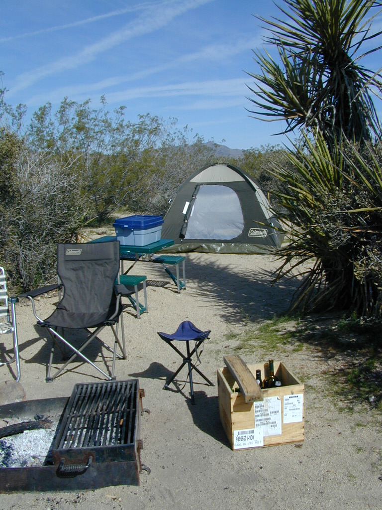
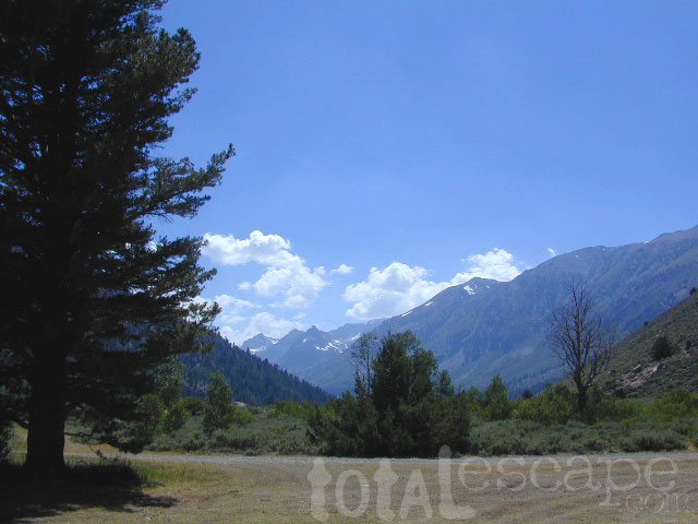

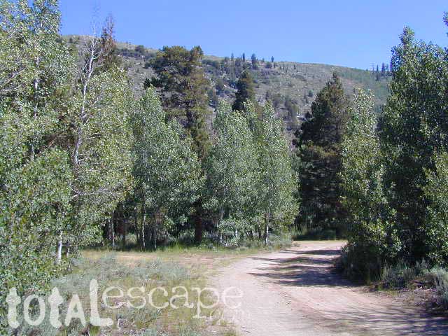
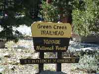
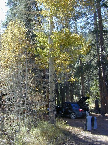
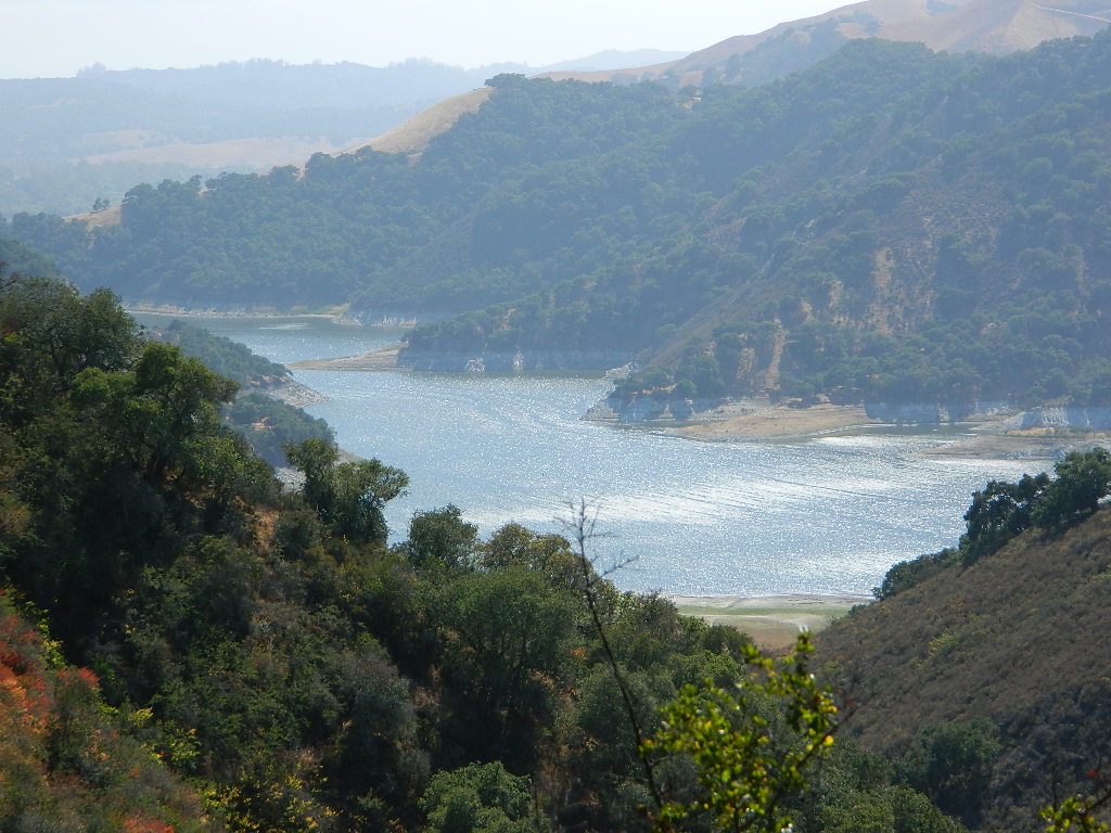

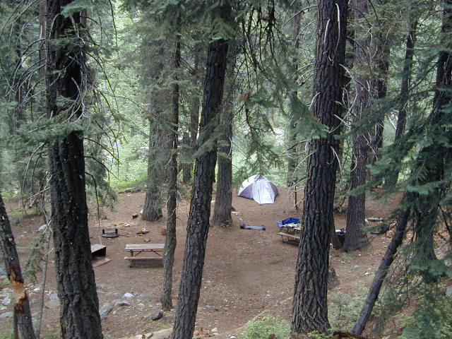
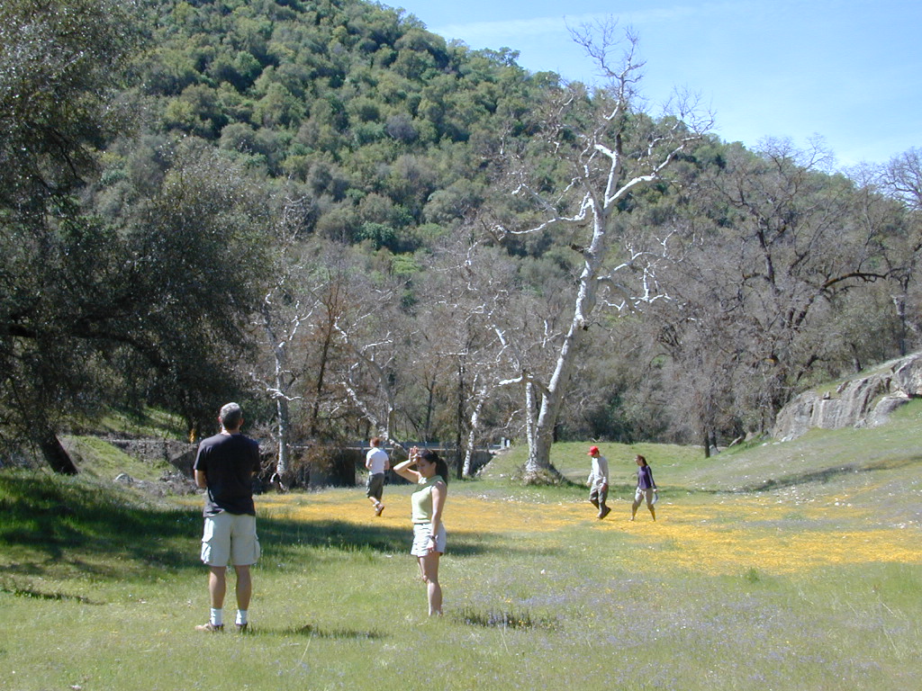
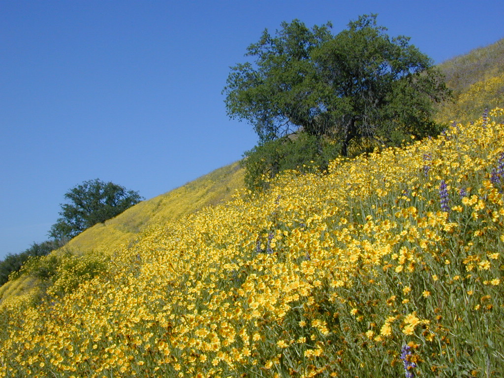
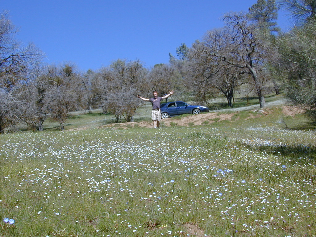
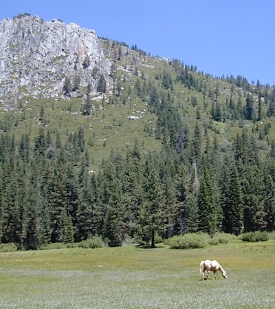
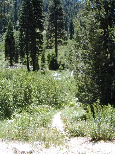
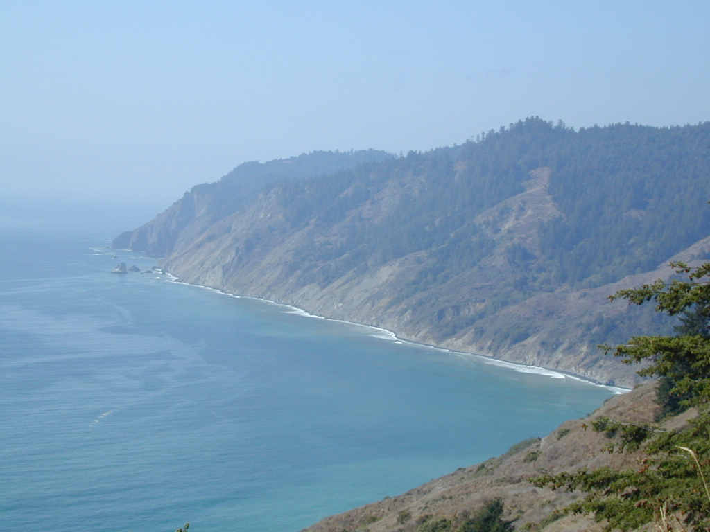
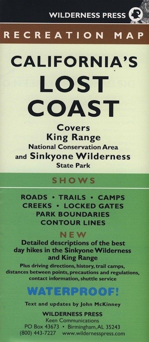
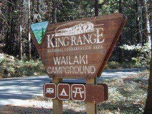
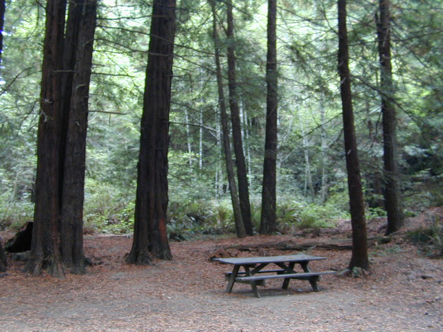
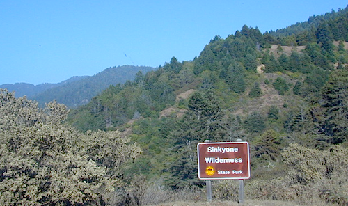
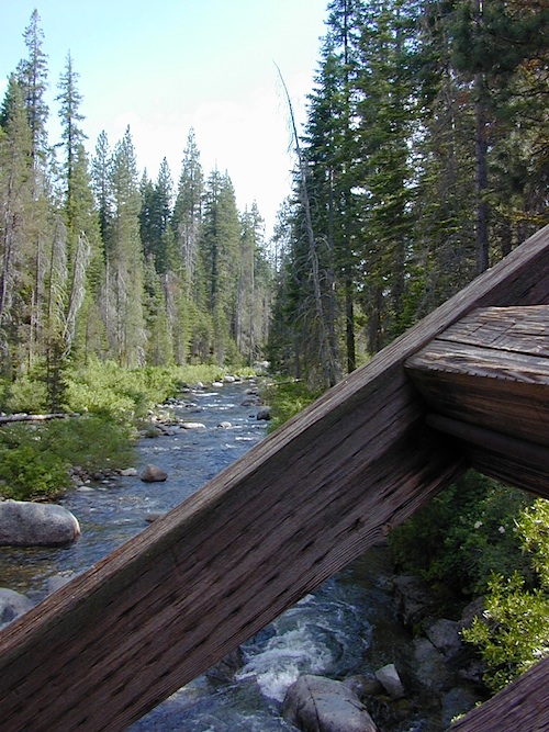


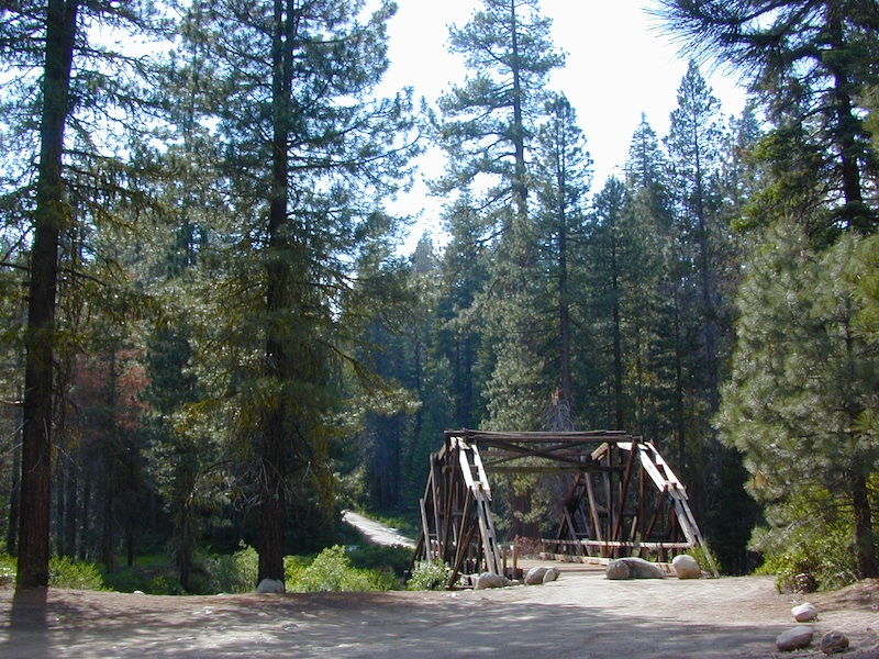
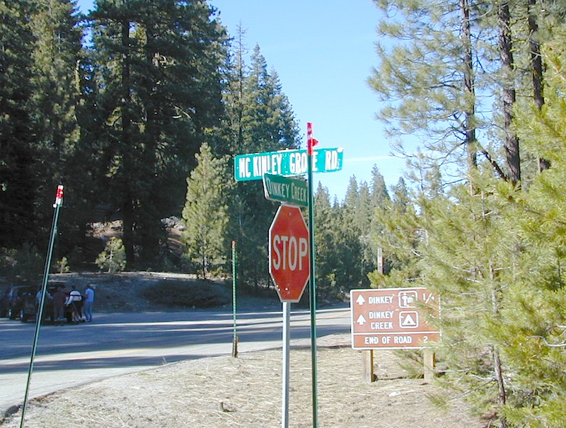
 Dinkey Lake Trail Map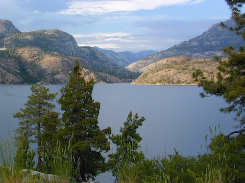
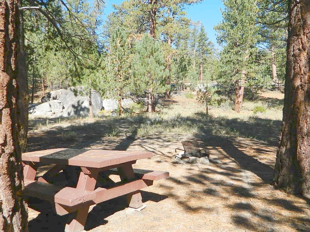
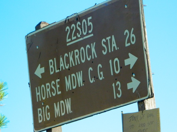
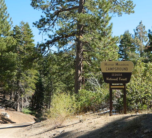
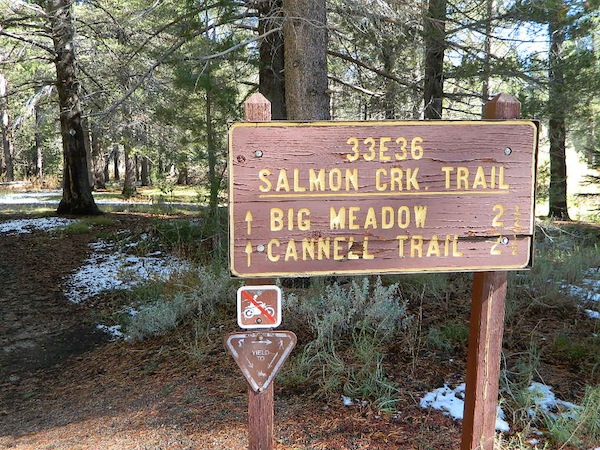
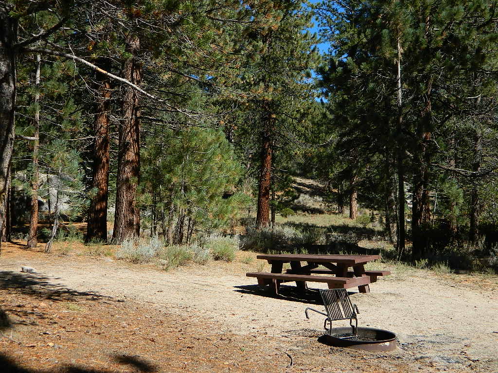
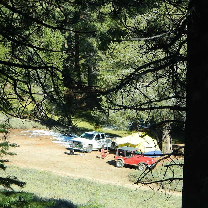
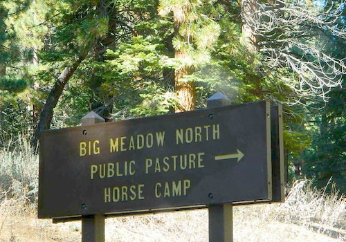
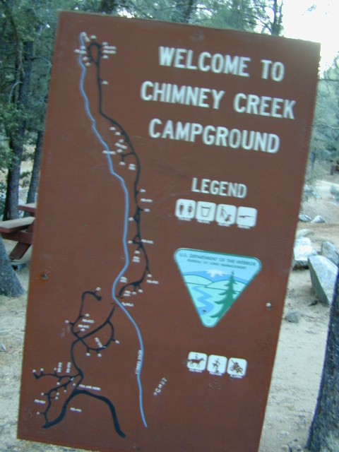
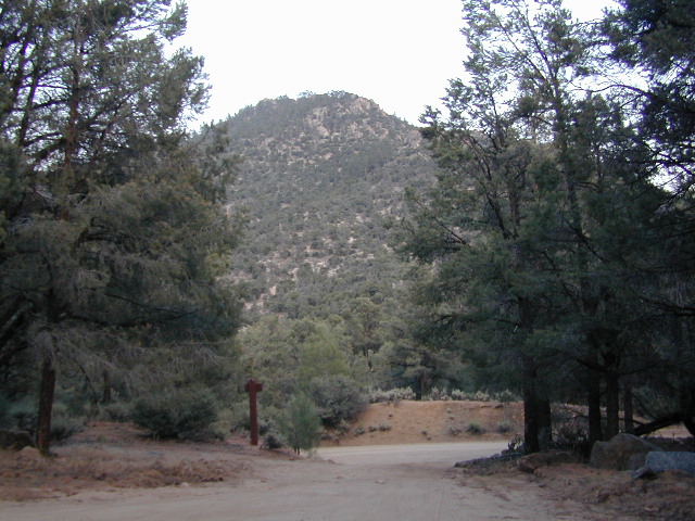
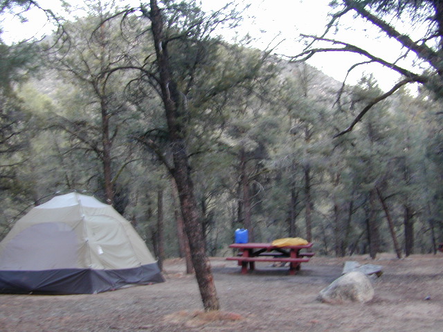
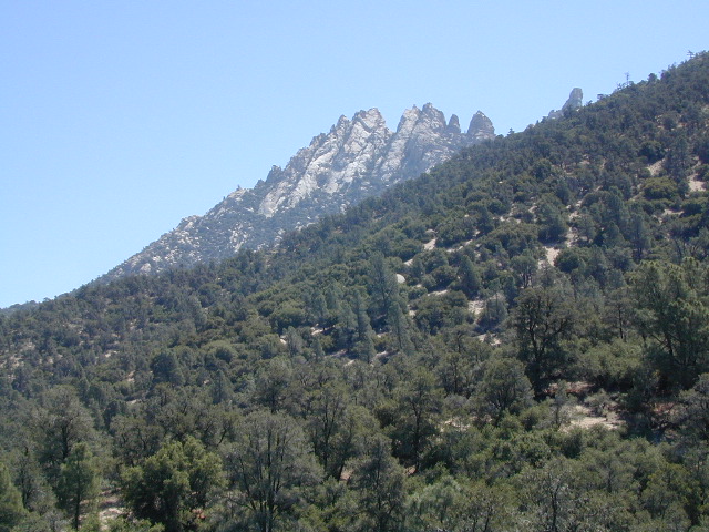
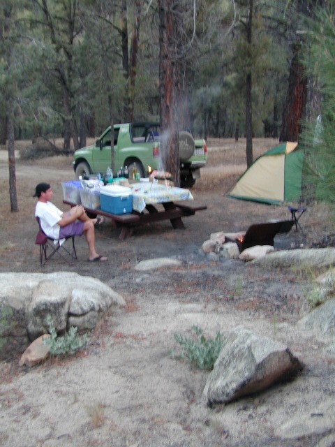
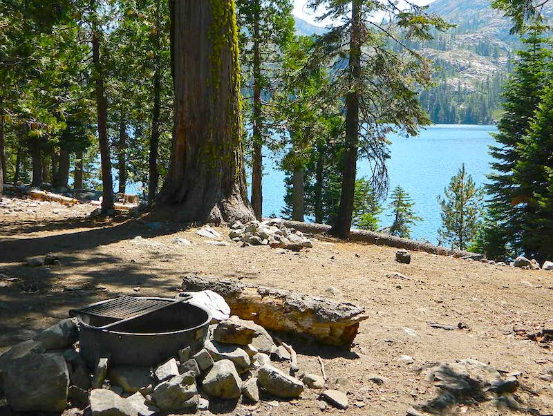
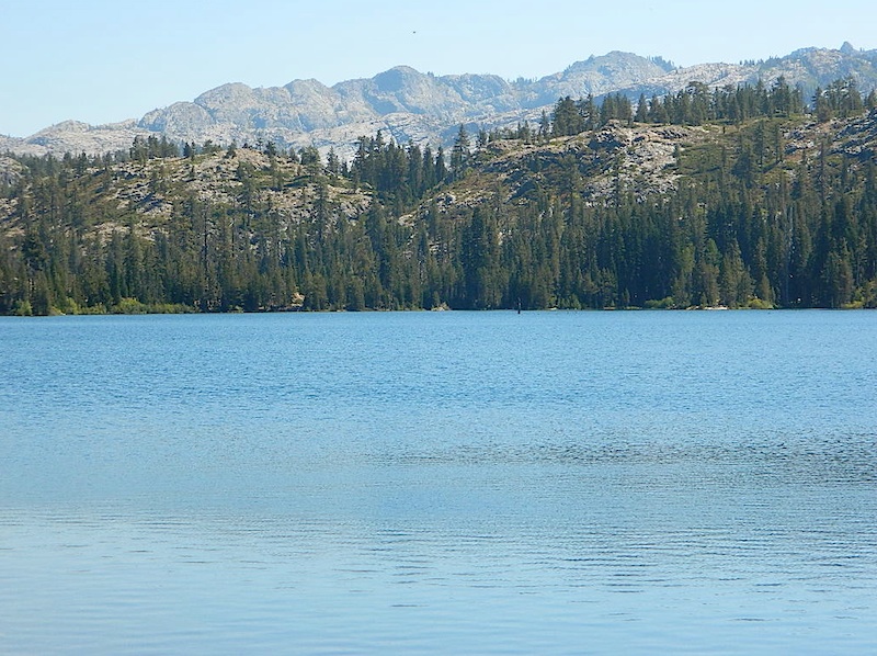
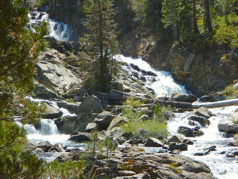
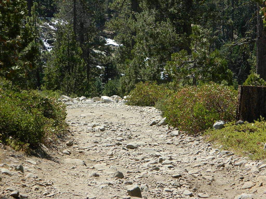
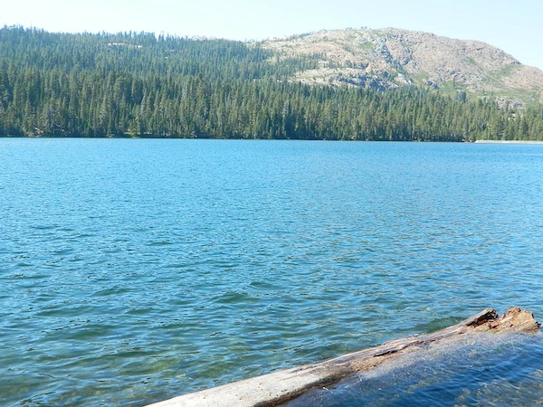
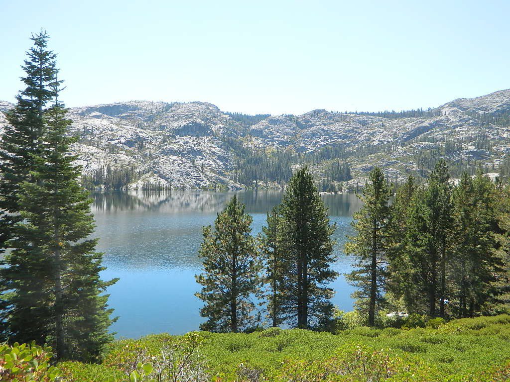


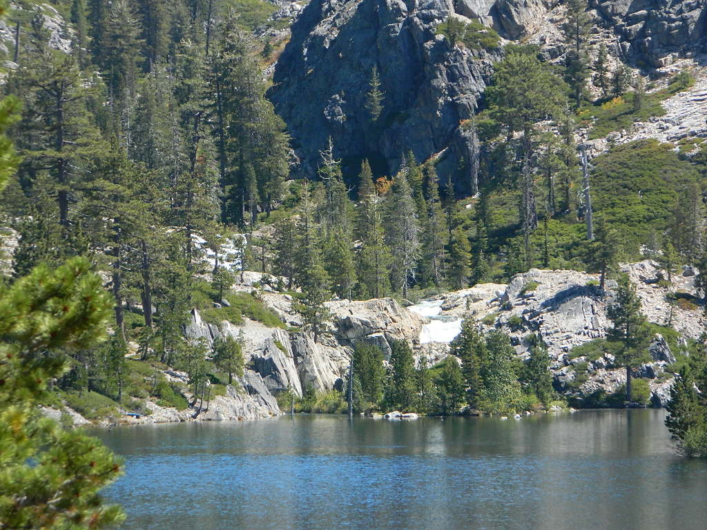

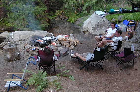
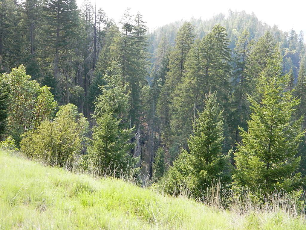
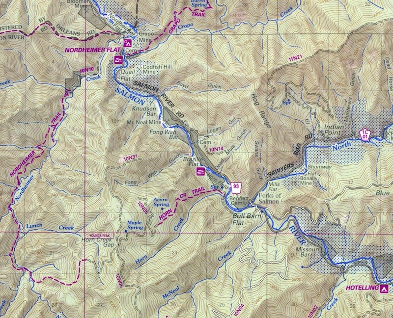
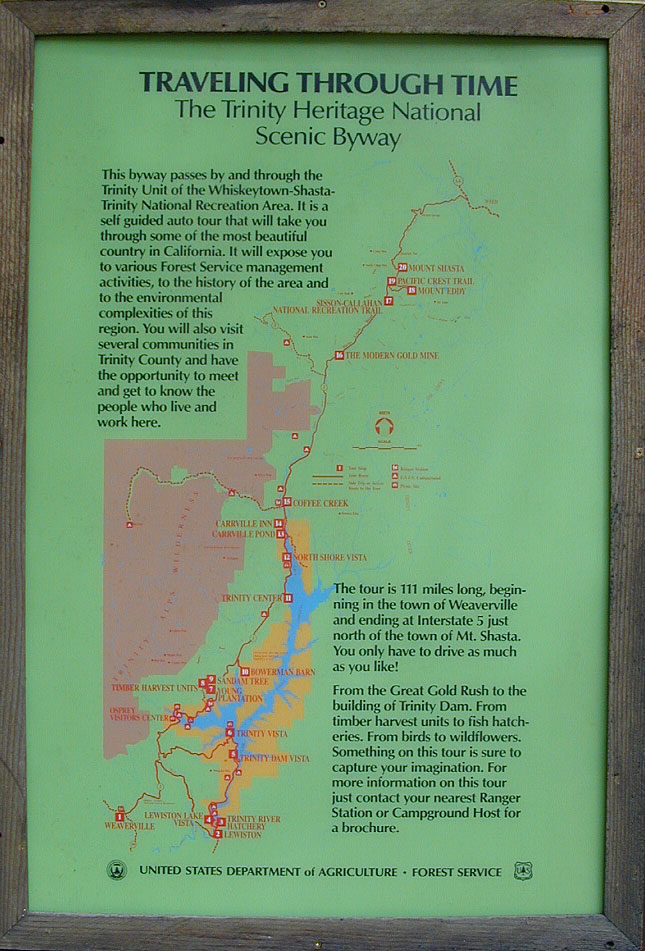
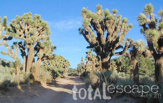
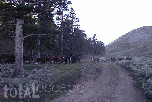
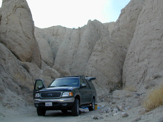
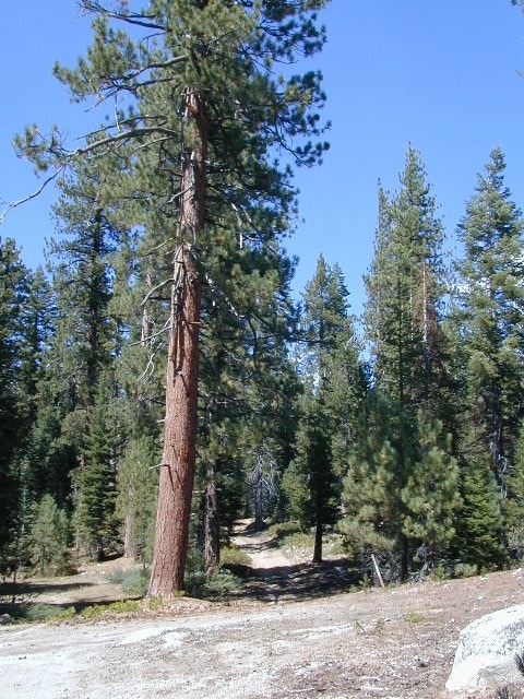
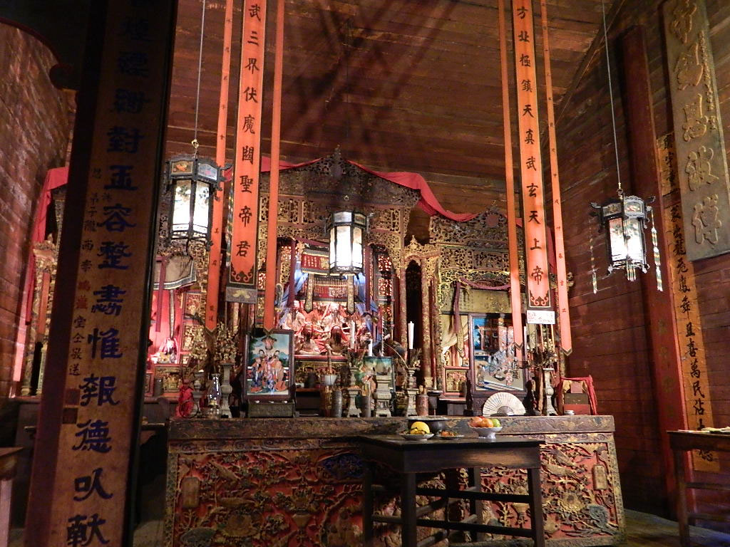
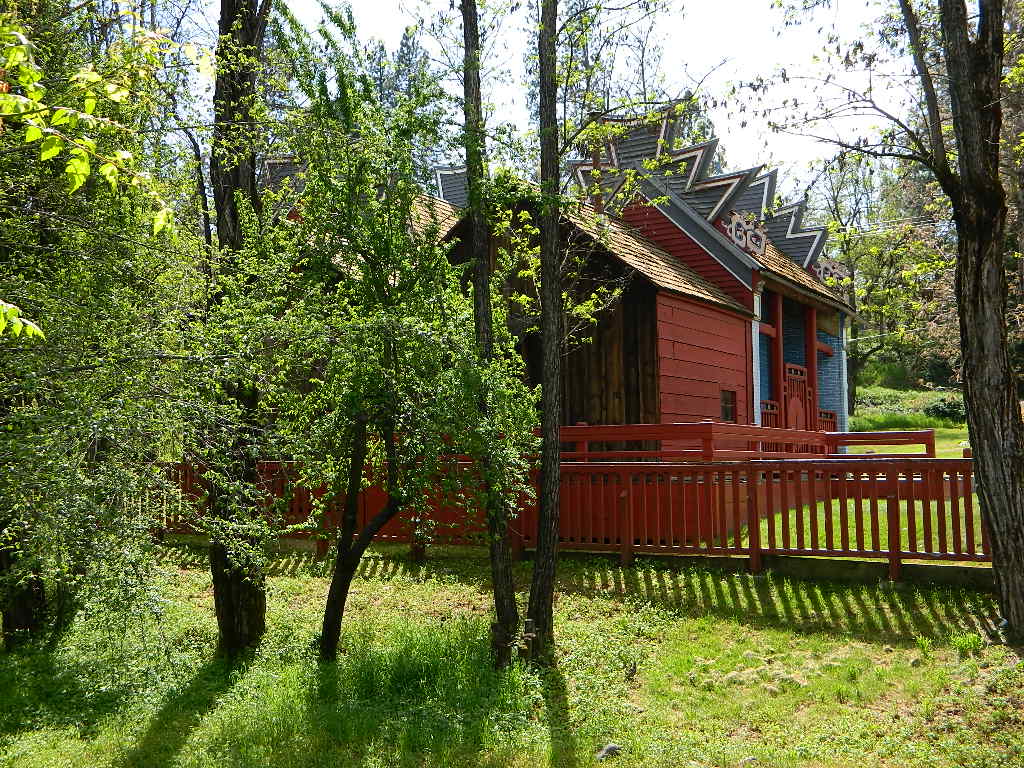

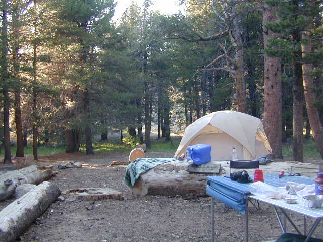
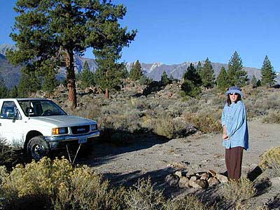
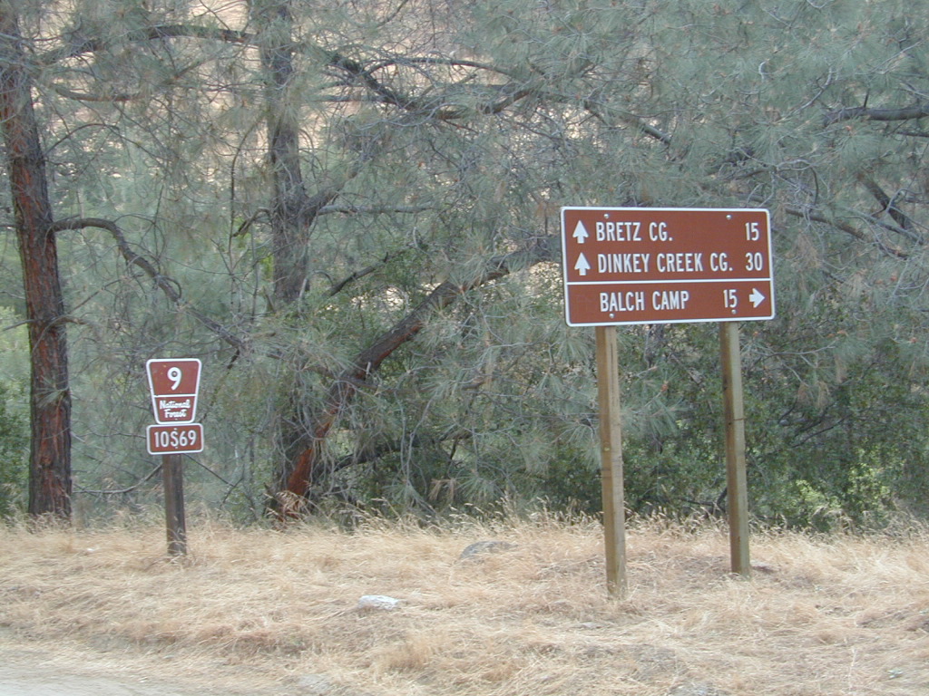
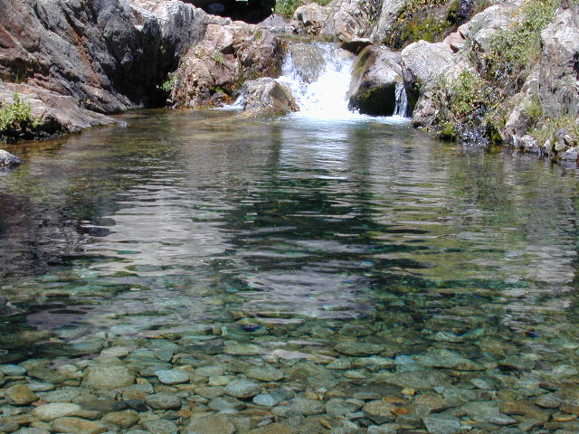
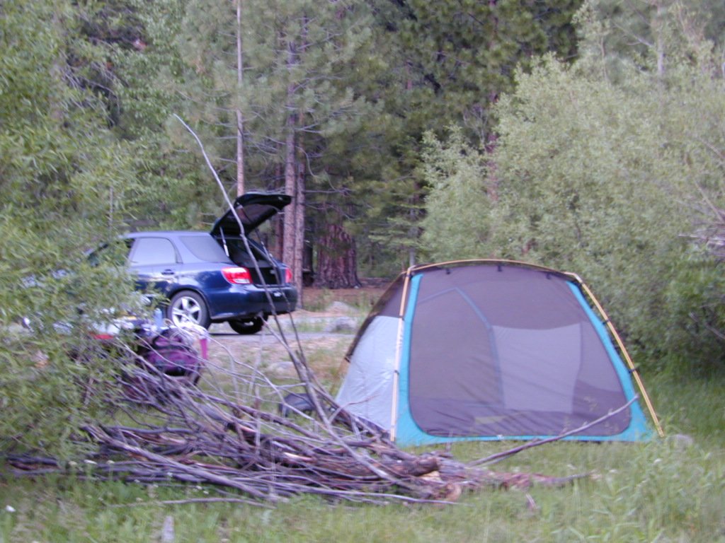
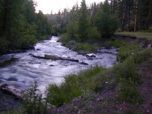

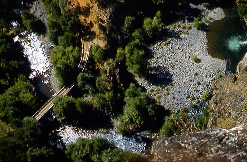
 Ishi Wilderness Map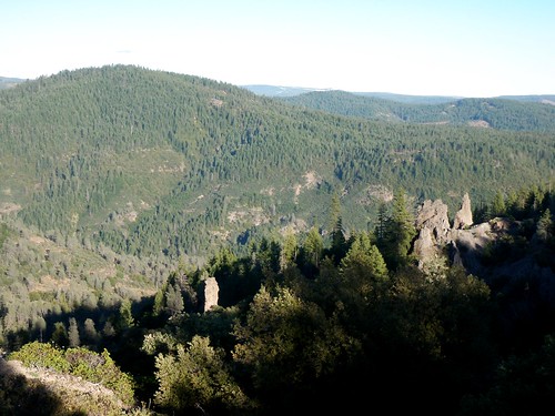
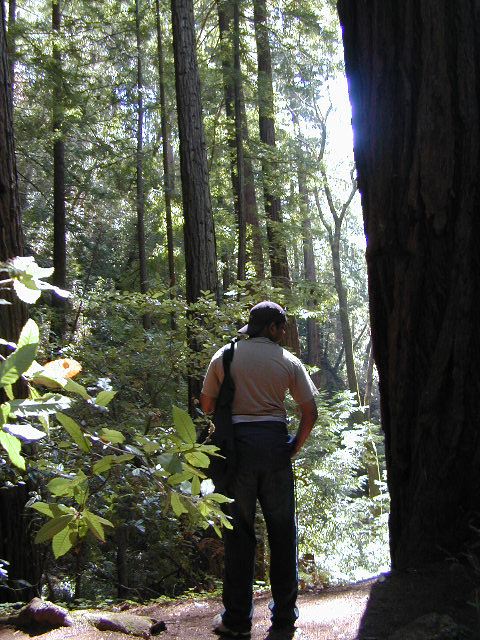

 Another option to this canyon is the East side: