
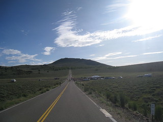
Big Meadows, California
In the mountains numerous places called ‘big meadows’ exist in California. Large meadows, huge meadows, high elevations and low. We are truly blessed by such a natural beauty in our local region. Remember those who have protected the land for future generations.
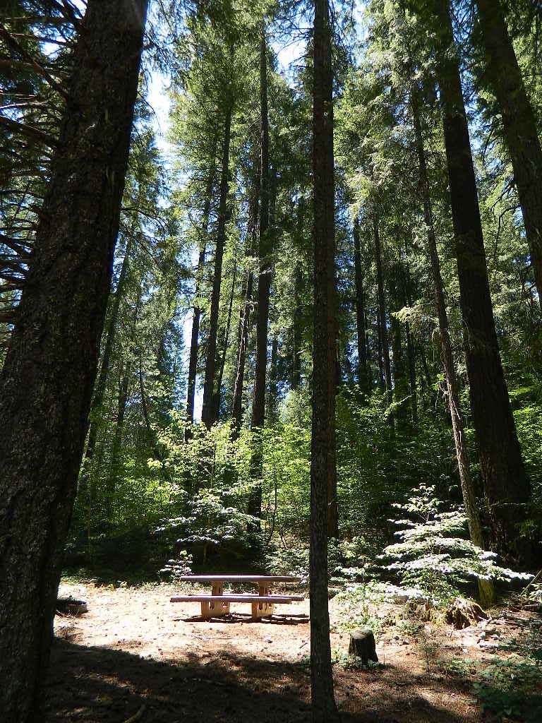
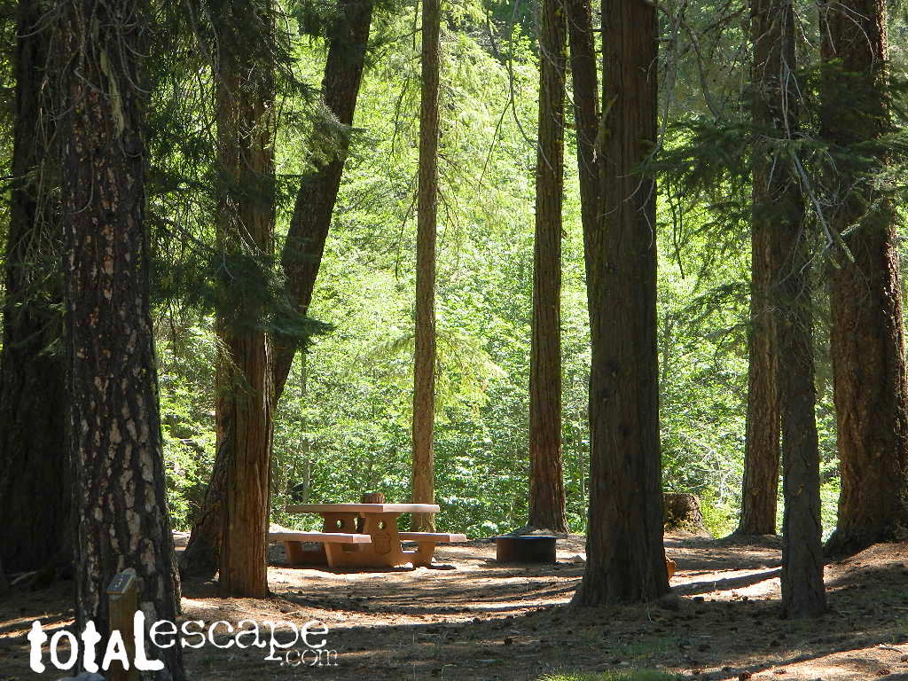
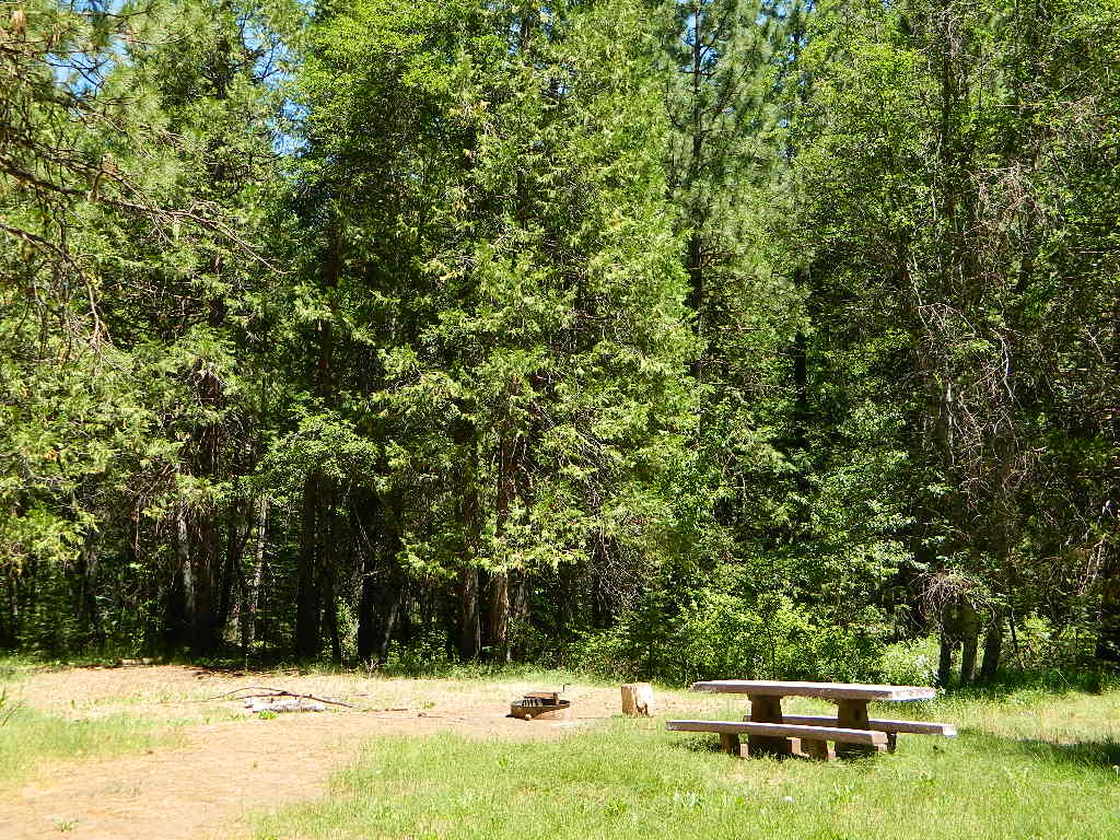
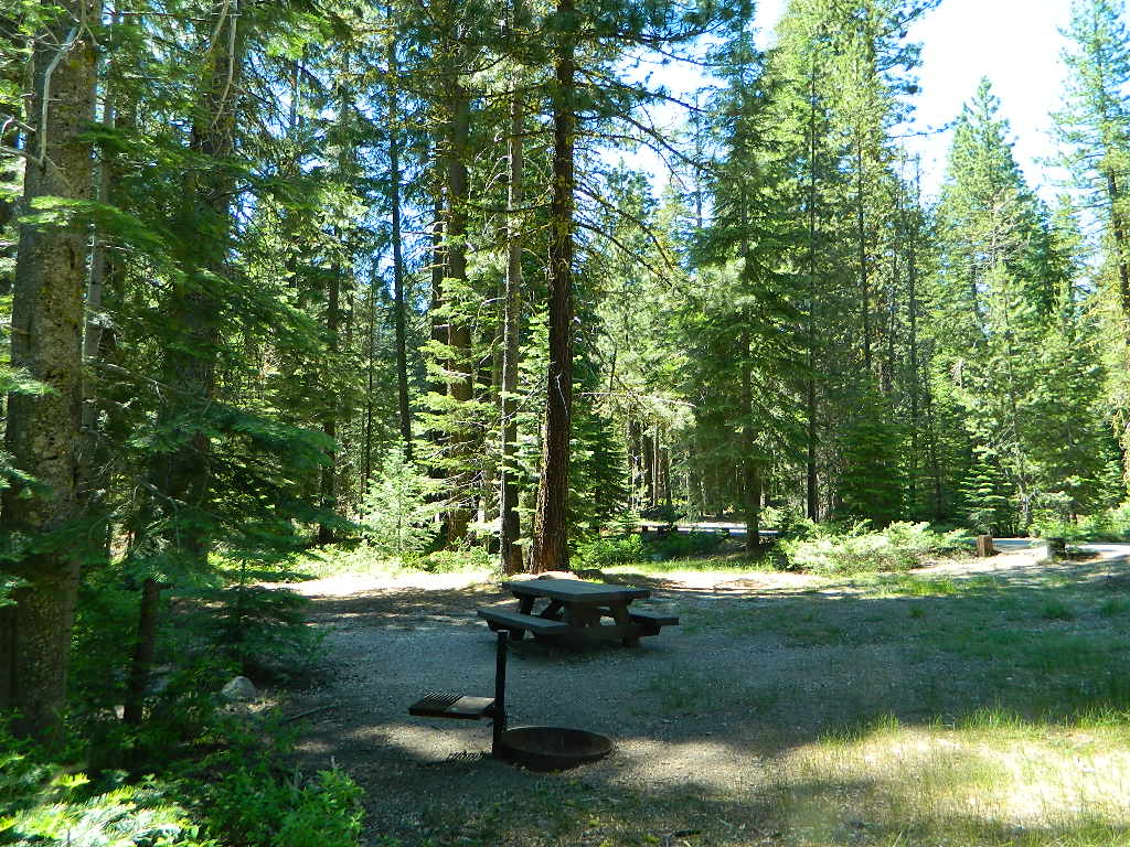
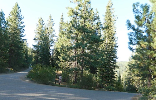
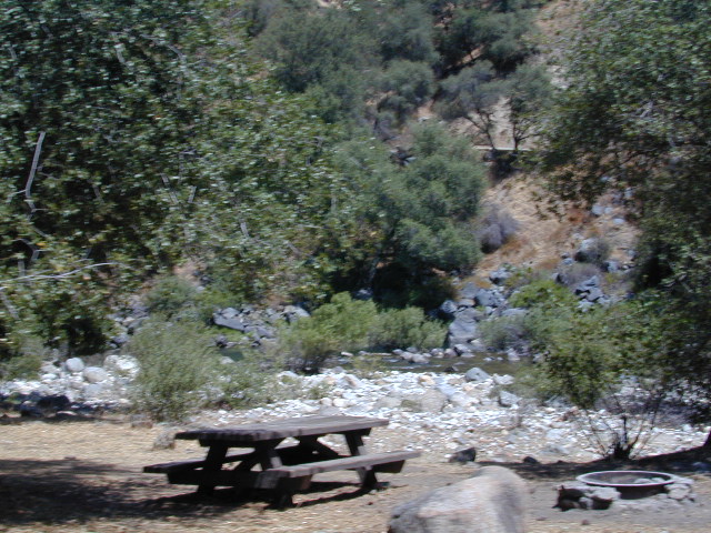
- camping near
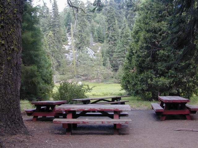
- picnic
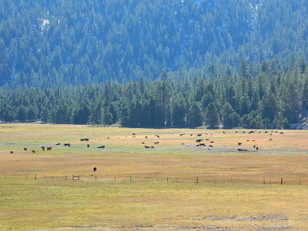
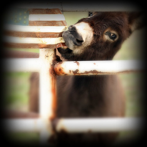
- cattle grazing
- hike thru
- bike around
- horseback riding
- cross country ski
- snowmobiling
- stargazing
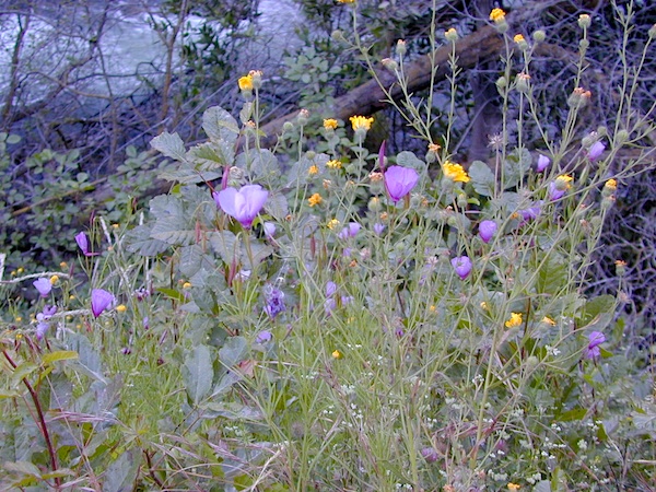
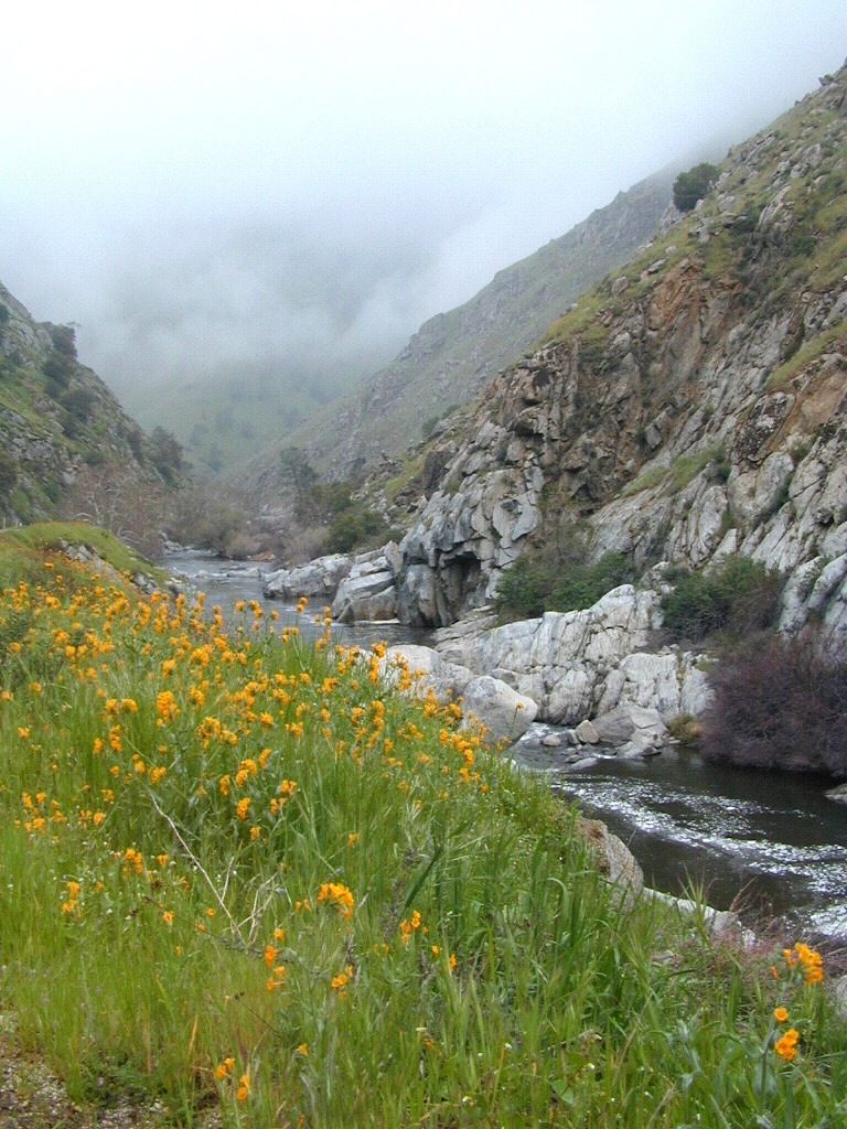
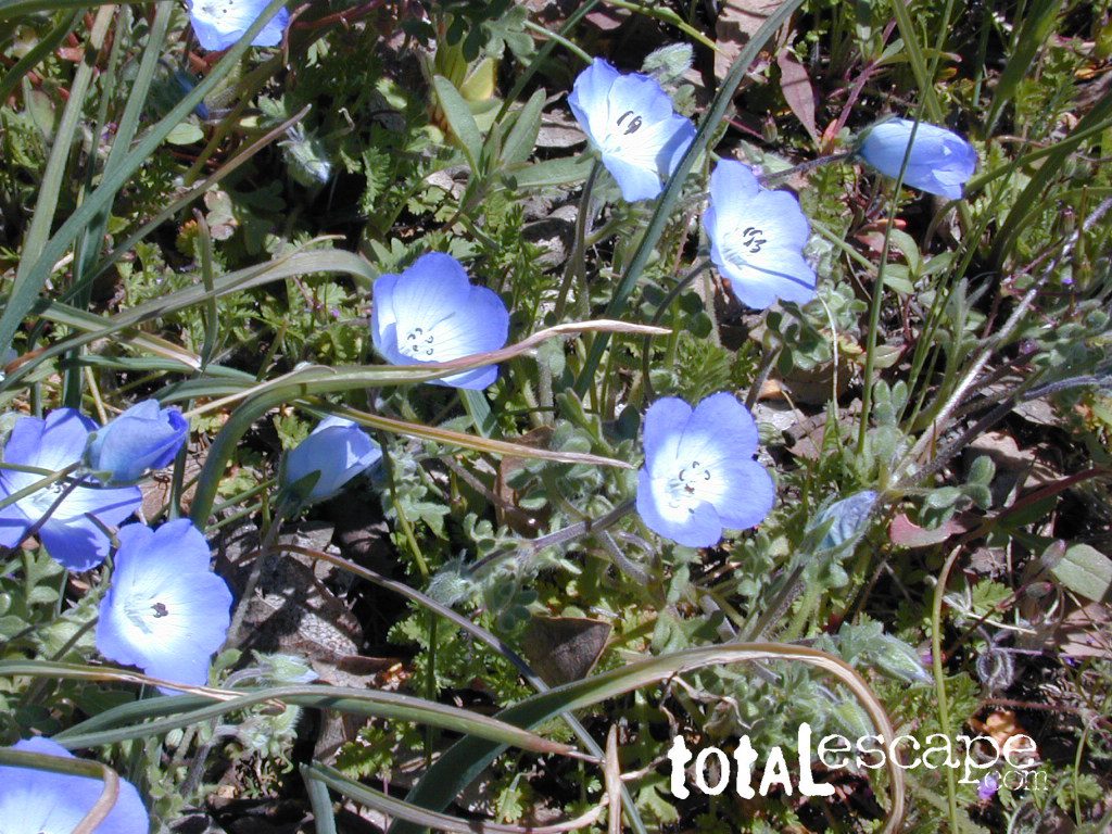
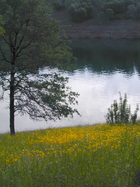
- wildflowers
For Southern California meadows – Mount Pinos has a large meadow next to the walk-in campground, Chula Vista. San Diego’s Laguna Mountain has some meadows and Big Bear Lake offers sage meadows, on the Fawnskin side.
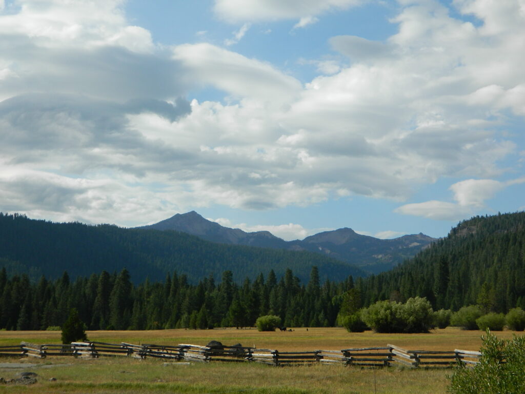
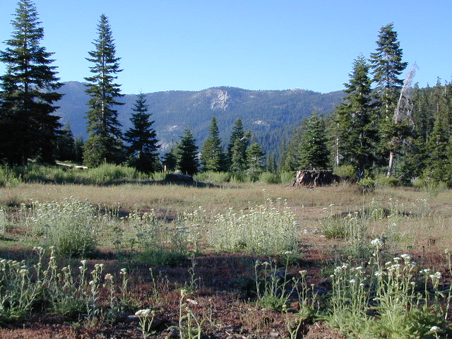
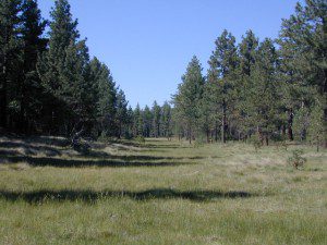
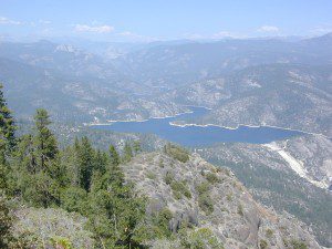
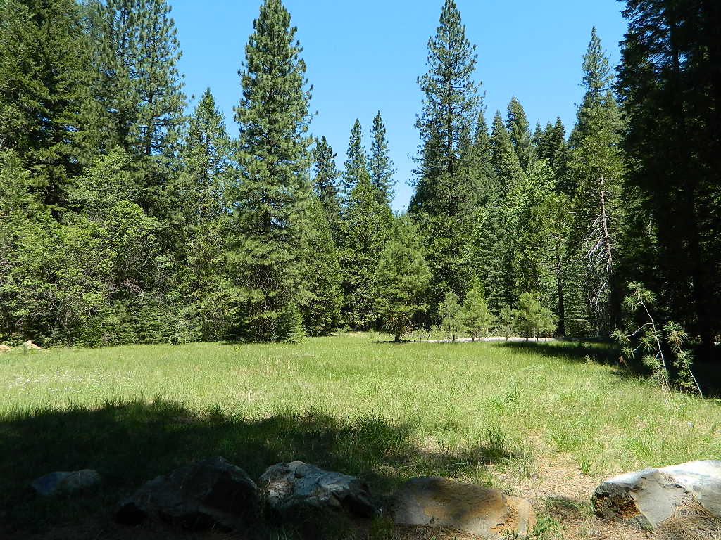
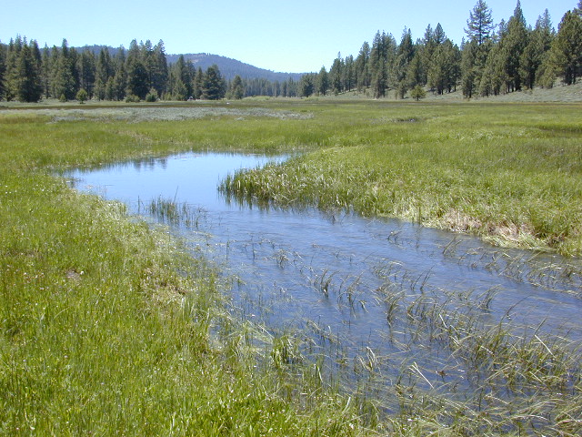
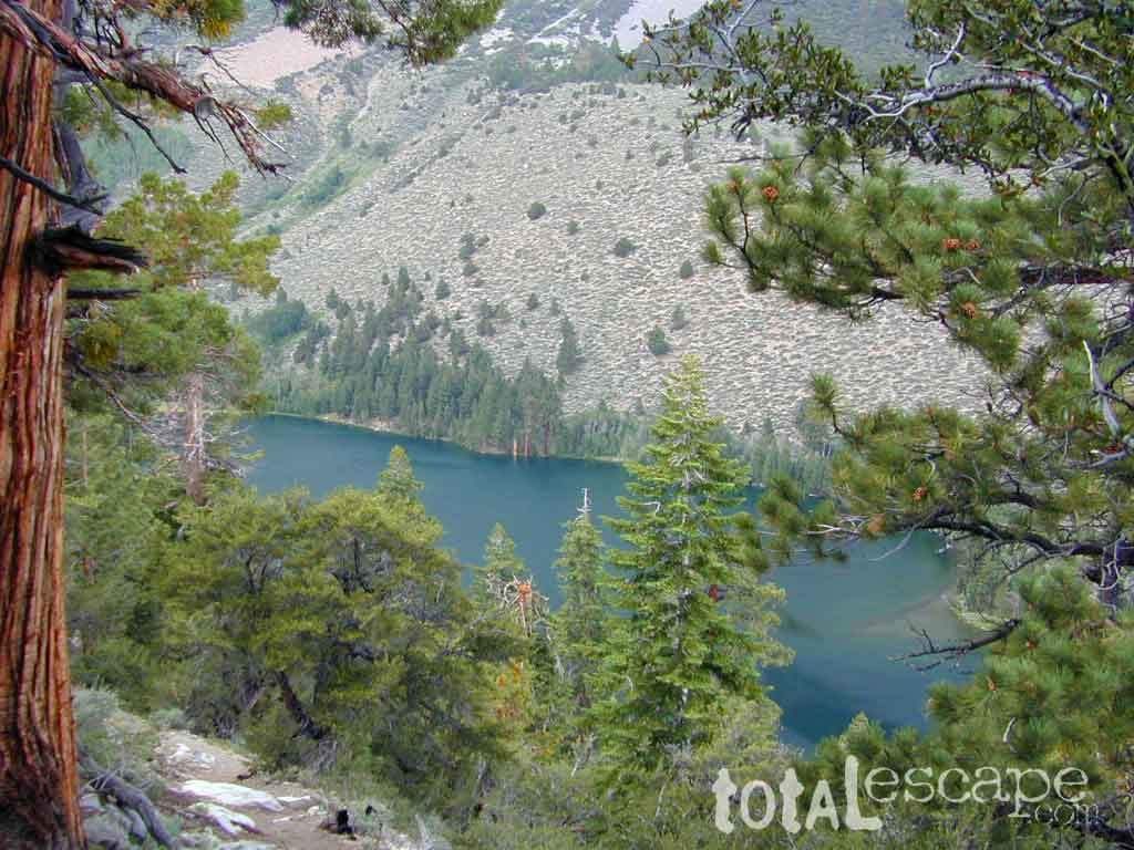
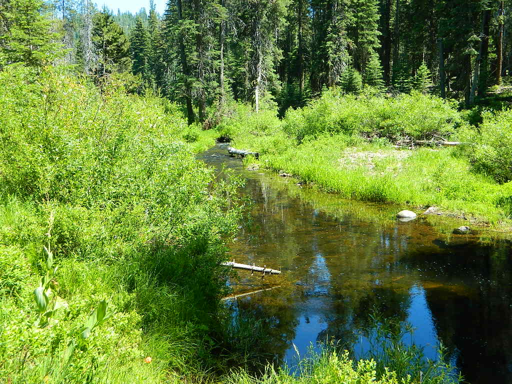
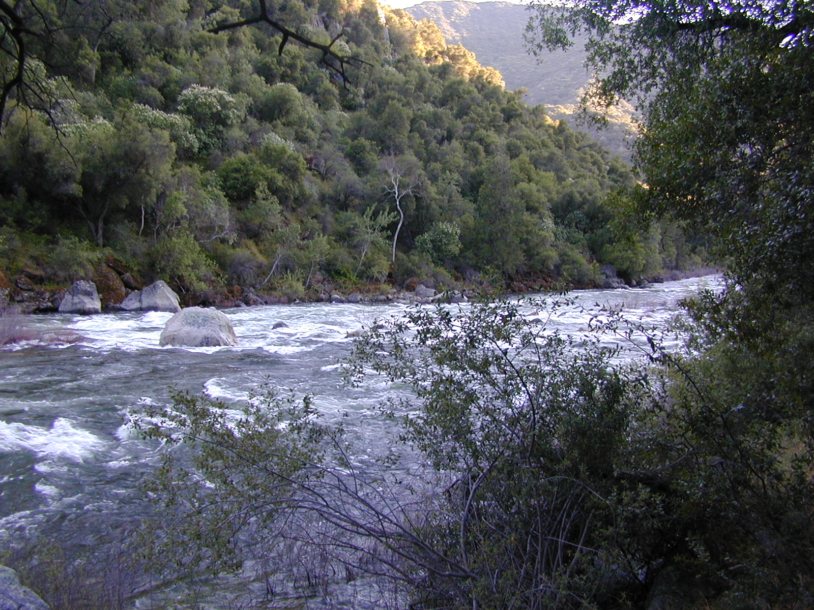
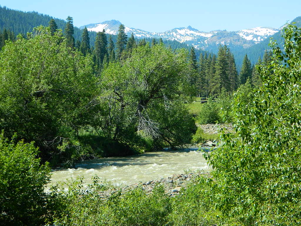
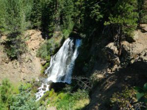
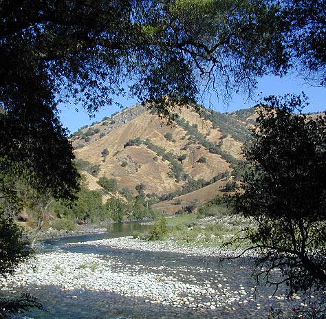
Wild Meadows range from 3000′ elevation in the foothills, to about 11,000′ elevation in the highcountry. Vacant of trees, these wide open areas are generally colder spots, with moisture and with fragile ecosystems.
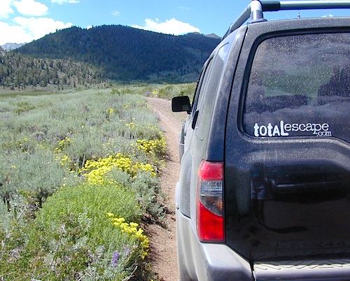
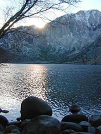
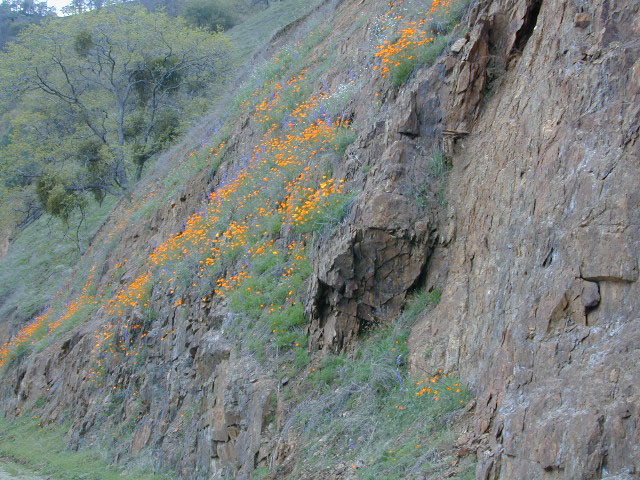
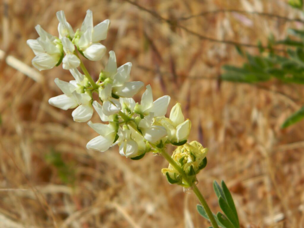
Eastern Sierra’s Inyo has gorgeous meadows of lupine wildflower (see above). Cattle grazing and 4×4 roads all over, up to 12,000′. High country mountain peaks surround. That area is called Coyote Flat w/ Coyote Lake. 4WD needed! Winter, snowy and almost inaccessible.
SNOW – Since meadows are generally located in the mountain regions, deep winter snow can make these special places impossible to reach (for about half the year). Summer is the prime time to explore the higher elevations, so plan accordingly.
WILDFLOWERS – Remember that the higher the elevation, the later the wildflowers will bloom. High Sierra meadows often bloom well into July & August.
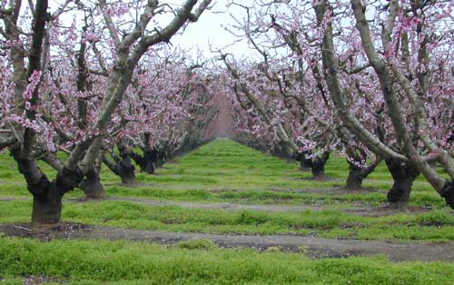
AUTUMN COLORS – Aspen groves are often located next to meadows. Fall colors can be quite decent around October, before the first snow fall of the season.
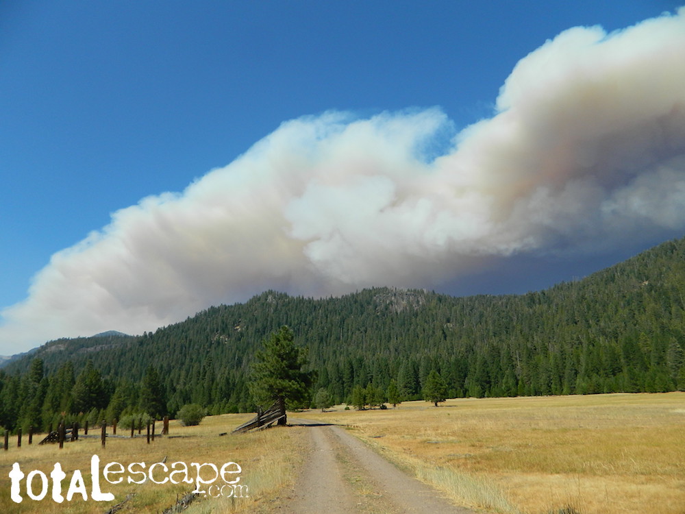
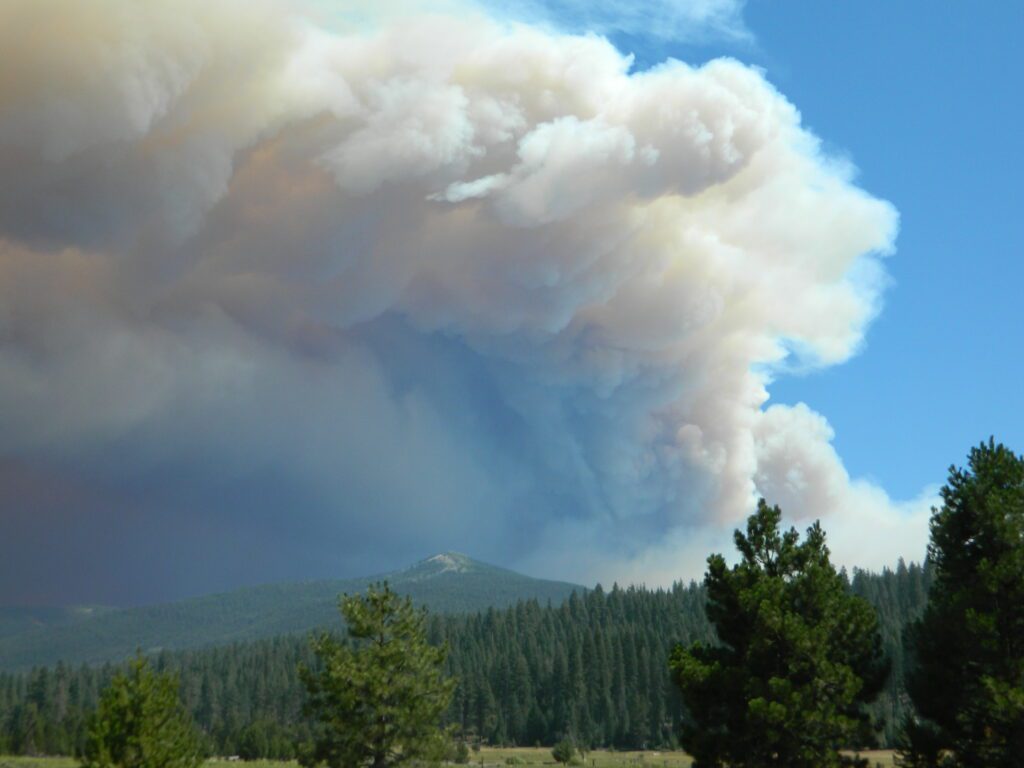
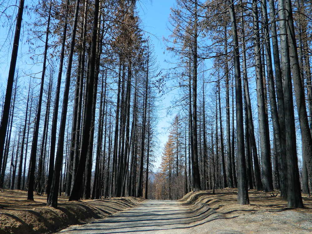
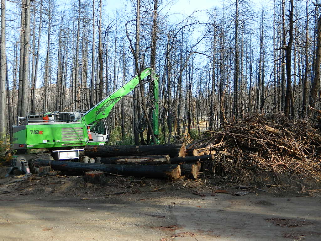
MENDO glade – In the Mendocino National Forest the meadows are called “glades” – and the area has been heavily impacted by wildfire. Snow Mountains Wilderness was totally burnt in the Ranch Fire 2018, the largest wildfire in California history.
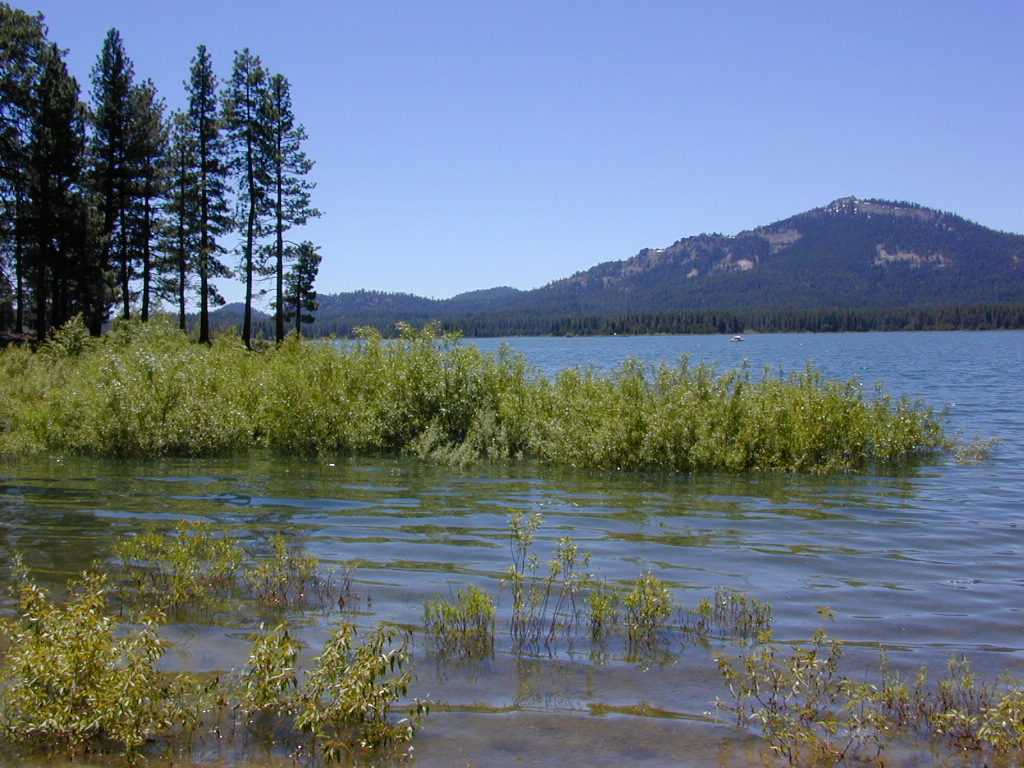
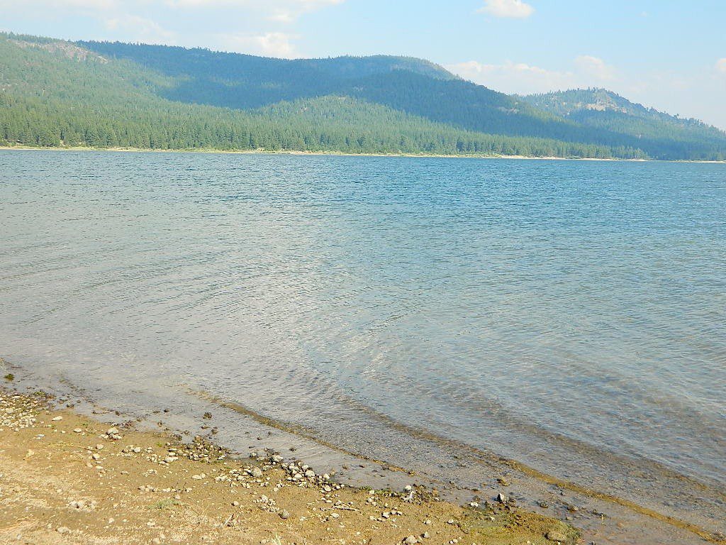
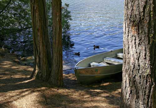
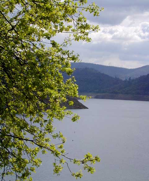
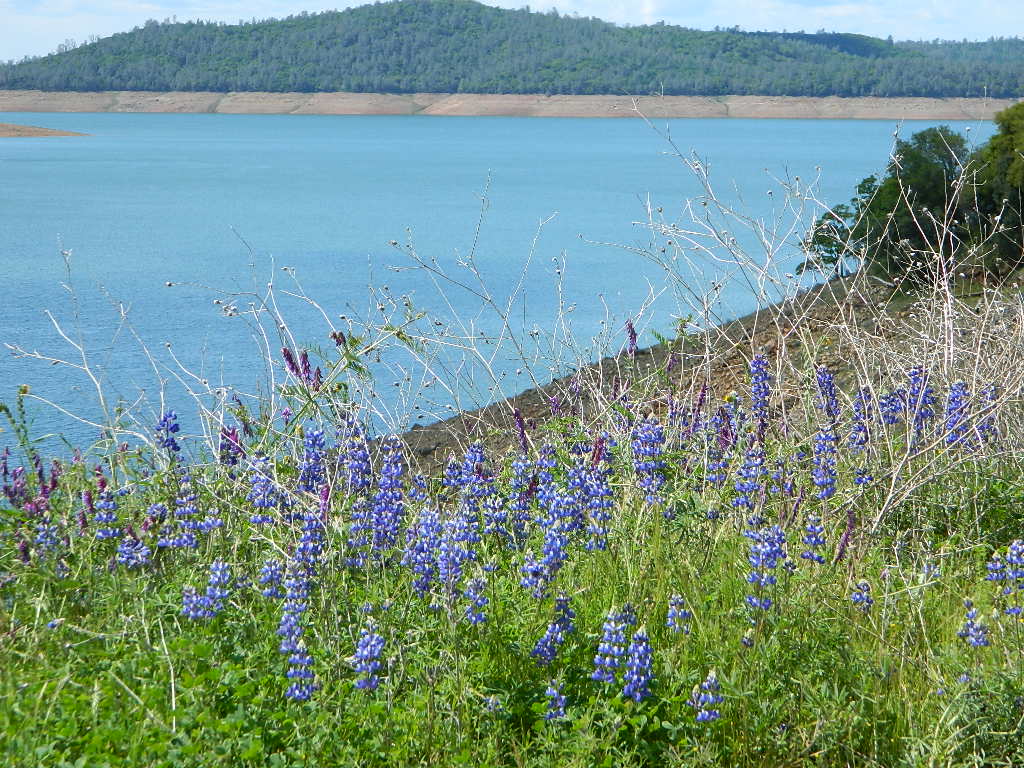
NORCAL history – Some Mountain Maidu tribes are known as the “Big Meadow Indians” – they made the Big Meadows of the Upper Feather River their home. Damming the Feather River created Lake Almanor in 1914, which flooded the meadows and forced native people to relocate.
The Big Meadows below are listed from south to north.
Enjoy!
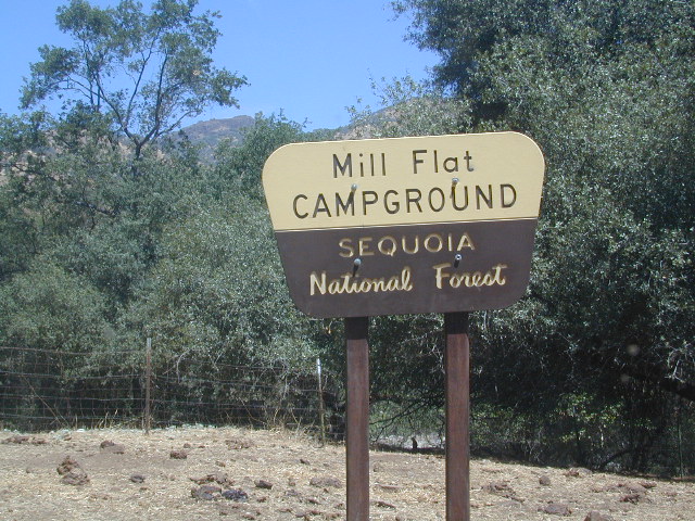
Big Meadow Sequoia, Kern Plateau, off Sherman’s Pass Rd
Big Meadows Road #14S11, Giant Sequoia NM
(in between Kings Canyon NP & Sequoia NP)
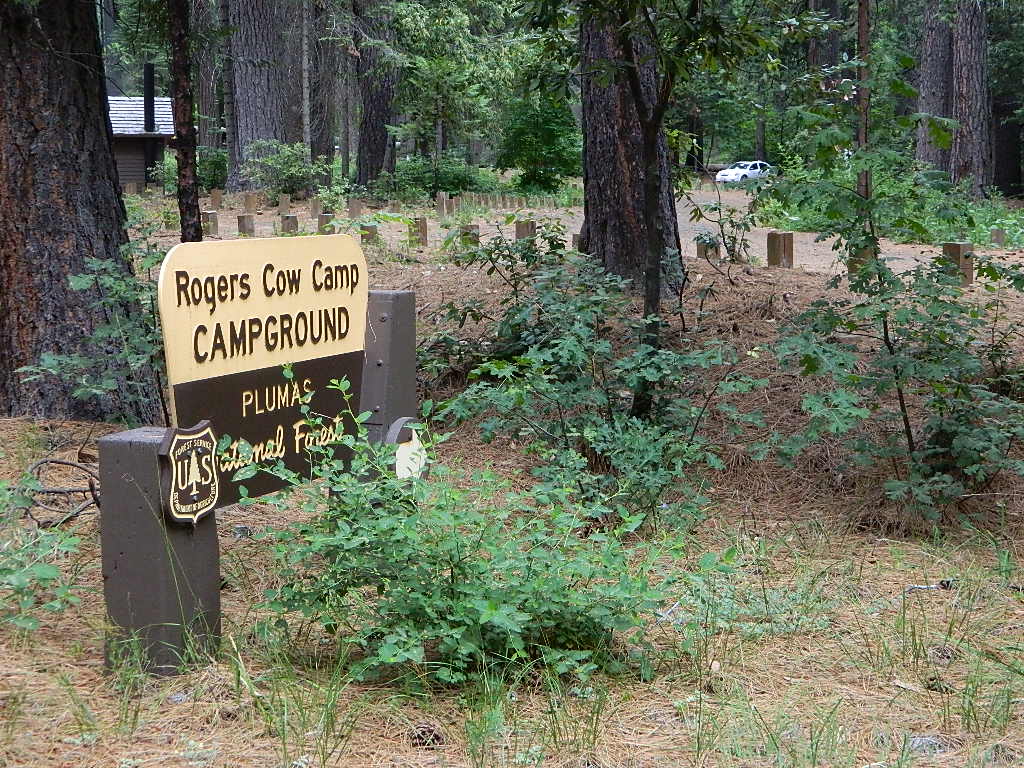
Big Meadow Campground, Sequoia, Road #14S11
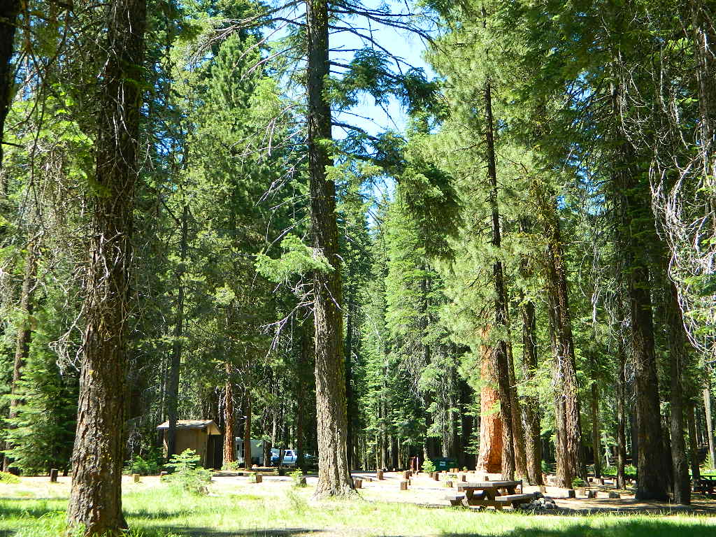
Big Meadows Campground, Stanislaus NF, near Arnold, CA
Big Meadows Campground, El Dorado National Forest
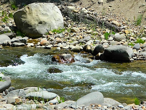
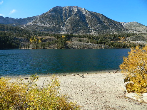
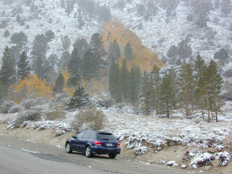
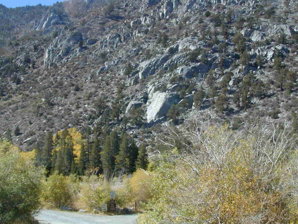
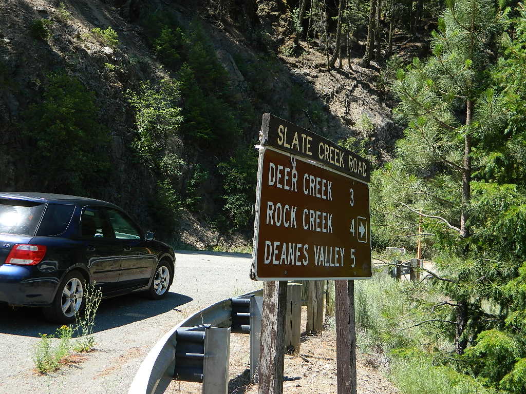
Big Meadow Campground, Rock Creek Canyon, Eastern Sierra
Big Meadow Campground, Hell Hole Reservoir
Other awesome meadow areas include –
Monache Meadows, near Kennedy Meadows @ PCT
Horse Meadow Campground NFS, Kern Plateau
Dome Land Wilderness – Manter Meadows
Shirley Meadows Road #25S15
Powell Meadow Rd#21S36, Sequoia National Forest
Jerky Meadows – Lloyds Meadow Road #22S82
(primitive camping & trailhead Golden Trout Wilderness)
Jackass Meadow, Sierra National Forest
Horseshoe Meadows Road, Lone Pine, CA
Dinkey Creek Road, Sierra National Forest
Lake Henshaw, N San Diego County
Laguna Meadows, Cleveland NF, San Diego Mountains
Indian Valley – Greenville & Taylorsville, North Sierra
Grover Hot Springs, Sierra Nevada
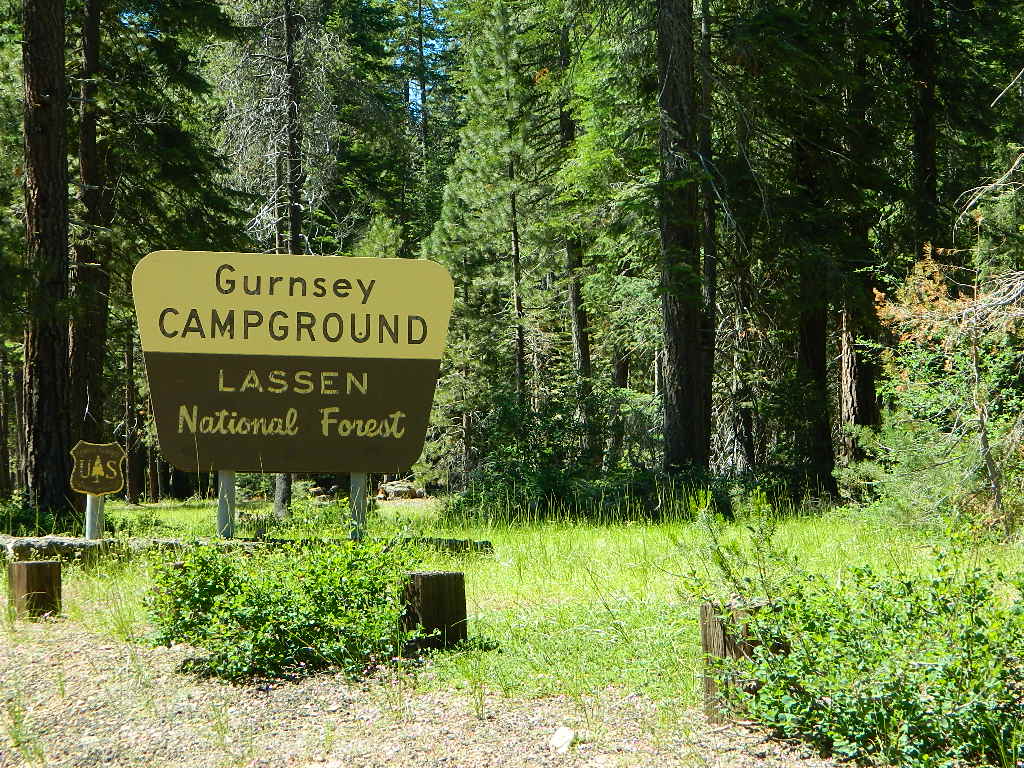
Dixie Glade Campground, Mendocino NF
Kingsley Glade Campground, Mendocino NF
Sugarfoot Glade Campground, Mendocino NF
Beasore Meadow, way up behind Bass Lake, CA
Dunderburg Meadow, off Green Creek Road
Butte Meadows – N of Chico, CA
Blue Lakes Road – Sierra Nevada, South of Tahoe
Kaiser Pass Meadows, above Huntington Lake, CA
Jones Valley/Jones Meadow – SR 172 in Lassen NF
Spencer Meadows (hike) – trailhead @ Hwy 36 @ Lassen
Battle Creek Meadows @ Mineral, CA & Lassen NF
Childs Meadows – along Hwy 36 @ Lassen NF
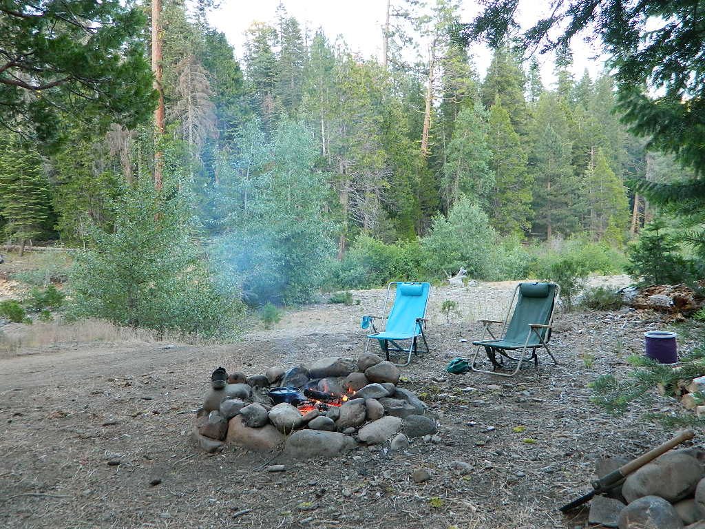
MOUNTAIN MEADOWS are the perfect place to watch meteor showers! Bring your tarps, blankets, pillows and lounge chairs, plus plenty of snacks & drinks for the overnight adventure.

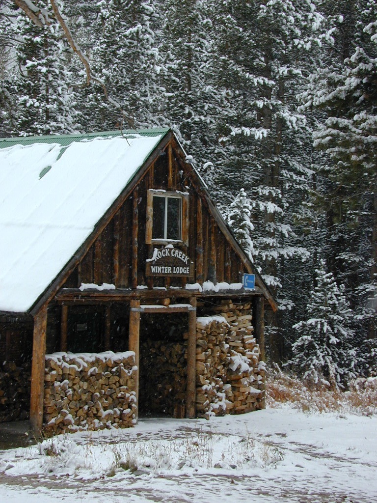

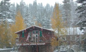


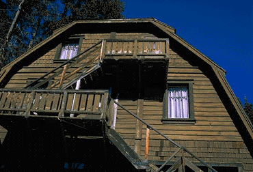 At first we thought it would require more map insight in finding the lodge under such wintery conditions. But to our surprise, the road we had been traveling on, Highway 168, just dead ended at our weekend getaway. The check into the lodge was fast and simple, soon we found ourselves settling into a decent rustic cabin with drifts of snow twelve feet high all around. Thanks to the constant plowing of roads, everything was accessible within reason due to El Ninos erratic behavior.


