

The Mojave Road
Mojave Desert Back Roads
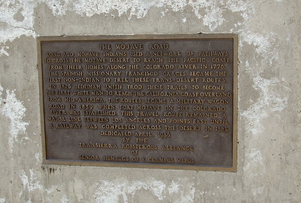
The historic Mojave Road spans the high desert region of east California – crossing the Colorado River westward to roughly Los Angeles. Now a network of dirt and paved routes follow the original overland trade route. Click the plaque photo below to read more.
The rugged, dirt road cuts right through the middle of the Mojave National Preserve. Mid Hills, Kelso Depot, Cima.
mojave topo maps
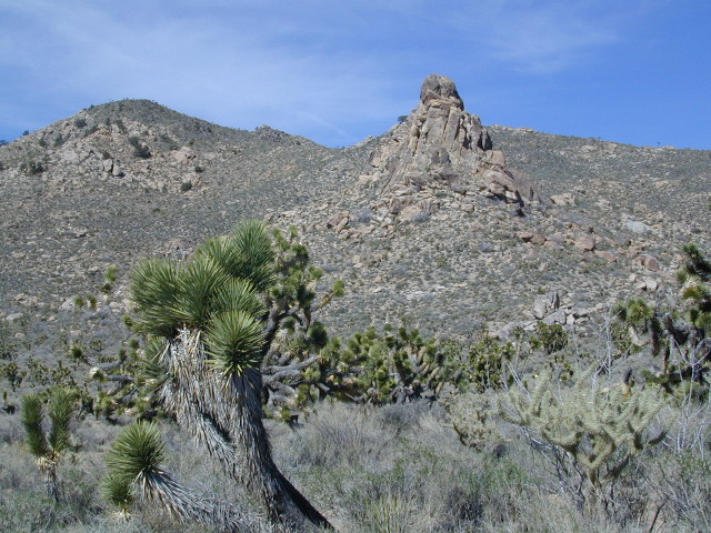
Joshua Trees, mountains, boulders, sand dunes, railroad history. The high desert is abundant with wildlife, plant life, lava tubes, caverns, camping, and dirt roads. Plus wild windy weather.

MOJAVE PARK
Located on the way to Vegas, NV – or the Grand Canyon in Arizona. Mojave NP is in the triangle space in between Interstate 15 and Interstate 40, on the eastern side of southern California. Freeway close, free camping in the Mojave does indeed exist, if you know where to look.
Mojave Map by Trails Illustrated NatGeo
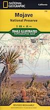
National Geographic acquired Trails Illustrated Maps more than a dozen years ago. Ever since these plastic topo maps have gone 2 sided, full-color w/ more details featured than ever before. Updated regularly. Waterproof plastic, perfect for outdoor desert travels.
Mitchell Cavern, called Providence Mountains SRA, has camping, but it is situated up on an exposed bluff overlooking the freeway. Location gets windy as hell. Better campground is at Hole in the Wall, or even better, Mid Hills Camp.
Primitive, free camping can be found off of Kelbaker Road, but be warned: dirt roads can get deeply rutted and impassible during extreme wet weather. 4WD may be required sometimes.
- CAMPGROUND CAMPING
- FREE CAMPING
- GROUP CAMPING
- HIKING TRAILS
- HISTORIC MONUMENTS
- HORSE CAMPING
- HORSEBACK TRAILS
- JOSHUA TREES
- LAVA TUBES
- MINING HISTORY
- MOUNTAIN BIKE TRAILS
- OFF ROAD CAMPING
- RAILROAD HISTORY
- RANCHES
- RV CAMPING
- SAND DUNES
- VOLCANIC TERRAIN
Mojave Desert Map by Tom Harrison
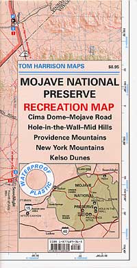
One of the first readily available topographic style maps of the Mojave desert. Waterproof plastic, Tom Harrison brand maps are perfect for any type of backcountry travel, on foot, on horse, or off-road.

AAA & NPS: one-page freebie; excellent overview map created by the Automobile Association of Southern California w/ the National Park Service. Handed out at Visitors Center and ranger stations (1990s)
BLM Maps of Mojave: OHV (off highway vehicle) maps can be found at the local Bureau of Land Management ranger stations:
- Barstow, CA
- Las Vegas, NV
- Needles, CA
Benchmark California Atlas

This premium full state atlas has the whole, massive Mojave desert covered, which extends north into Death Valley National Park and south to Joshua Tree National Park.
Mojave Desert Books