Never married, No kids No wifi, No smartphone
No tattooed eyebrows
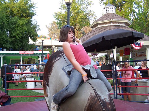
If you could care less about celebrity gossip or television, you are not alone. Many people seek more relaxing travel in their lives, but can barely afford a vacation, or a day off of work.
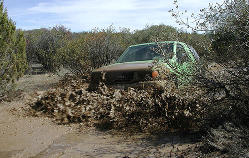
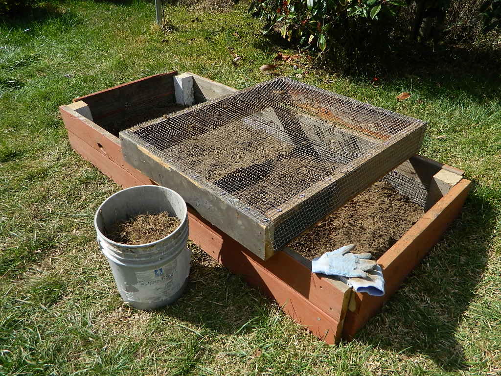
DanaMite is all about dirt – being outside and inspiring you to be outside as much as possible.
I began car camping in the Borrego desert while in college as an easy, inexpensive “weekend away from the city”. Cheap, literally dirt cheap outdoor vacations. Free camping, if you really know the good areas.
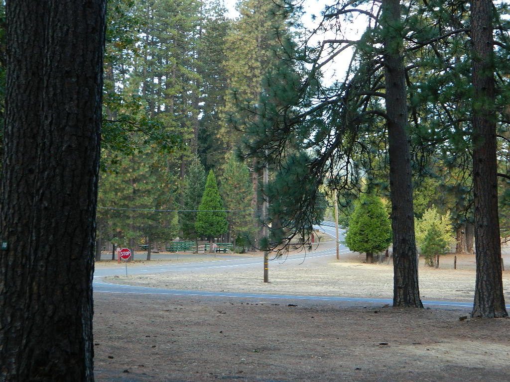
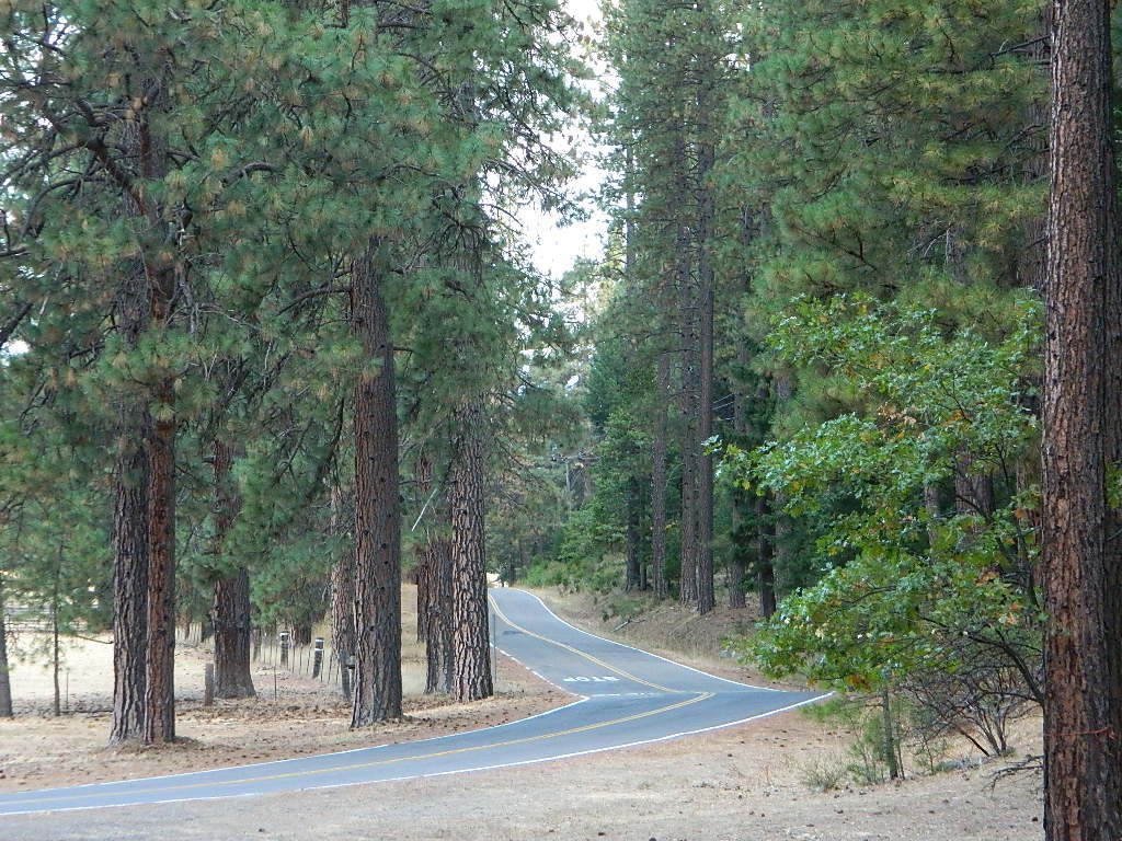
Whether you dig hiking or biking on dirt, sleeping in the dirt (tent camping) or wheelin in the dirt, we have the TOTAL DIRT on California. Back Roads, Hot Springs and tons of outdoor destinations inside the golden state. Nearly 3 decades online, we’ve been here from the start.
Dirt roads, dirt campsites, dirt trails. Desert dirt, mountain dirt, coastal cliffs to country canyons w/ huge reservoirs. All California dirt, terrain, forests and water too.
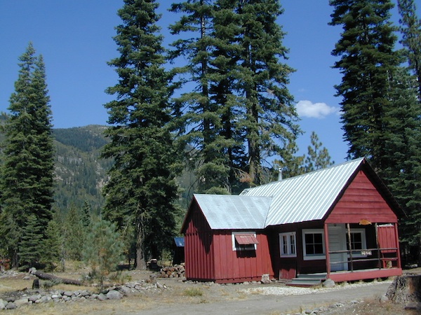
California Fire Lookouts for Rent
US Forest Service Cabins
Rent a secluded cabin with an amazing view, a historic tower for wildfire spotting, or a USFS guard station – hidden deep inside USDA California National Forests. Several of these NFS lookouts have been closed recently, so the ones listed below have links to status and reservation information.
Dirt road access is common to reach these remote locations. Some require stair climbing, or steep access hikes. Winter months are usually snowy, inaccessible and sometimes dangerous for these high country locations. Access roads suffer from closures due to rock slides or landslides. Check with the locals ranger station for current conditions.
A few of these rentals are open all year long – in the southern part of the golden state.
El Dorado National Forest
Harvey West Cabin
4,720′ elev. on Silverfork American River, Gold Rush
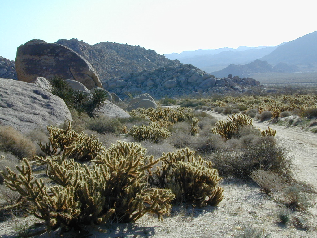
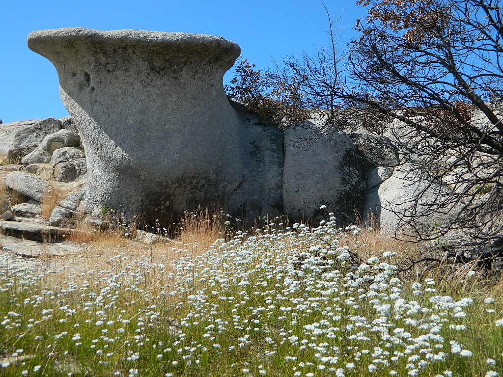
Interstate 8 EAST from SD / exit Ocotillo. SD county road # S2, the south end near the State Park boundary. Gorgeous every season but summer. Great winter camping close to SoCal.
This dirt road is located in a desert wash area, which starts west – off the paved road S2. The signed white desert wash is a suitable drive for passenger cars (most years). But you best have 4×4 if the rain gets going good. Low riders should watch for the ridge lines – as they are naturally rockier places and could take out an oil pan of a mini SUV (at a high rate of speed).
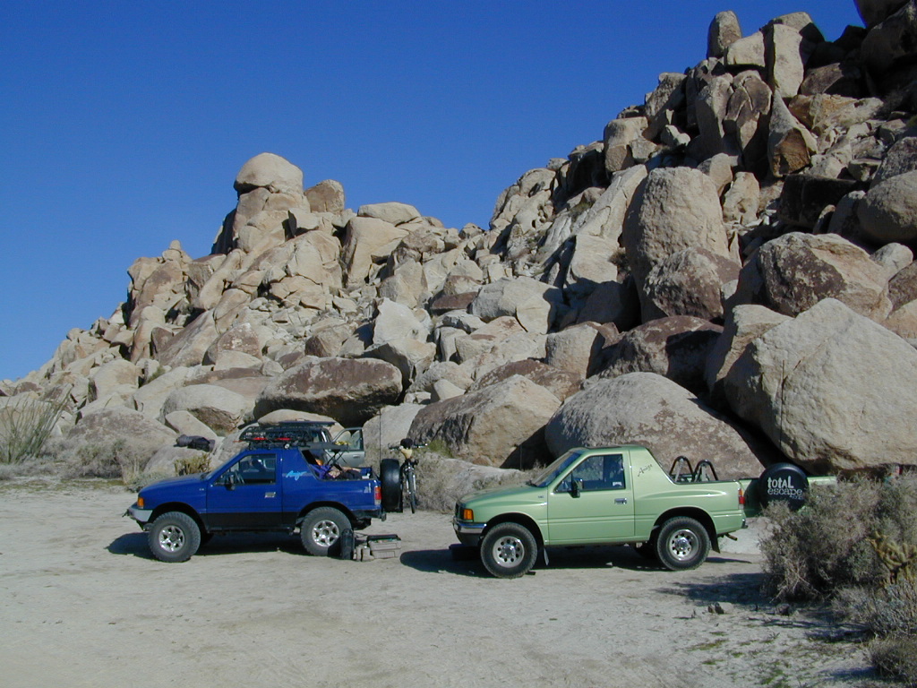
The giant boulders garden at the far end of this route have nice views of the Imperial desert floor. Better from the top of the boulders too; numerous primitive camp sites are tucked into the coves, surrounding the big boulders.
No toilets; no shade; no water; minimal vegetation. At night the stars are heavenly, but you can see city lights from Calexico and Mexicali.
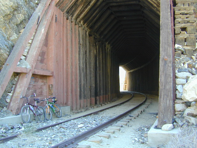
GOAT TRESTLE?
From this area you can hike or mountain bike up to the “old goat trestle” and numerous historic train tunnels @ Carrizo Gorge Goat Trestle (not to be confused w/ the wildflower destination called Carizo Plains in Kern Co). BRING A HARD COPY topographic MAP of this area, if you wish to explore past camp. Moderate hike, an all day adventure. Bring lunch and water!
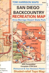
SAN DIEGO Backcountry Map
this waterproof map has the entire State Park covered with all back roads, trailheads, campgrounds and railroad tracks
When you decide to stop the car, look around for the best spot. Park off the road way and preferably in a turn out or camp spot. Turn off the engine, get out of the automobile, stretch your legs, breathe, look, close your eyes – tight and breathe deeply, then open and look around you again. This particular place is special, you can just feel it. Walking around the boulder area, be cautious of snakes.
On the boulders – closely examine them, climb on them, get to the top; you will find (Native American) Indian grinding holes called mortars or morteros.
great side trip option: Across the paved road (SD County Road S2) on the opposite side of the valley is a nice hike to Sand Dollar Hill. (I’m sure this isn’t the real name). Dirt road leads up to a dirt parking area for hikers. Busy lil place sometimes. These desert dirt hills have wind caves and chunks of sand dollars scattered all over them. The real ocean floor way out here, east in the Anza SD desert… how cool is that?
great side trip option:Canon Sin Nombre is just up the road a piece, N on S2, on the EAST side of the road. Amazing viewpoint turn out, right on the highway, overlooking the impressive topography and badlands. If you have a high clearance SUV or any truck you can drive down into the sandy tight, rocky wash. It meets back up with another main wash way back there.
Tons to explore back here. Off roader should think Tread Lightly on this turf and primitive car campers should use a Leave No Trace approach. White sand, deep sand, caves, smoke trees, and the best slot canyon climbing & hiking this side of the Anza Borrego State Park.
It was another one of those long and tiring days in the office and all I wanted to do was find myself on a open highway heading out of town. So right after the time clock struck five, I raced home, picked up my bags which were packed with my clothing and gear the night before, stopped at my girlfriends home to rescue her from the mundane existence of the apartment, we found ourselves finally on our way into snow country of the Sierra-Nevadas.
Our destination was a small resort community called Lakeshore CA, situated on the shore of Lake Huntington between the Ansel Adams and John Muir Wildernesses in the Sierra National Forest. The drive up the mountain at dark was breath taking and clear, a night in March with a full moon out and a fresh blanket of snow gracing our presence all around us as we drove our truck through the winding mountain road. The temperature must of been in the teens that night but that didn’t faze us as we looked out of our car windows at the spectacular sight Mother Nature had in store for us. Soft snow pillows hung on tree limbs everywhere, glistening moonlight bounced off the gentle lake as we drove along side and huge snow drifts towered on the road shoulder as we traveled to our resort lodge destination.
At first we thought it would require more map insight in finding the lodge under such wintery conditions. But to our surprise, the road we had been traveling on, Highway 168, just dead ended at our weekend getaway. The check into the lodge was fast and simple, soon we found ourselves settling into a decent rustic cabin with drifts of snow twelve feet high all around. Thanks to the constant plowing of roads, everything was accessible within reason due to El Ninos erratic behavior.
The next day we became captivated by the raw beauty of waking in a wintery wonderland, hardly hours away from the hustle and bustle of the big cities of Los Angeles and San Francisco. After a bit of exploring around the frozen lake, we took off on a rented snowmobile for the back country where we became amazed by gorgeous mountain lookouts.
Untouched wilderness full of snow-capped mountains, lost tranquil valleys, and frozen pools and streams locked in a time zone of raw beauty.
I wanted to stay gazing for hours but our destination was deep in the wilderness valley about twenty miles away. There after passing through woodsy trails and snowy spectaculars we arrived at our place of relaxation, the Mono Hot Springs. This out of the way spot has been frequented over the years by naturalists like ourselves who have pulled off the trail to dip into the eighty degree plus waters that caress the body with mineral rich fluids.
Never have I been so relaxed in an environment with no one around for miles, white snow all around with a trickling stream close by for awe and amazement. If it wasn’t for the deadline for the snowmobile return, we could of stayed at this place til sundown. The ride home on the machine, my body seemed to be thanking my mind for bringing it to such an inspiring place. My mood was calm and invigorated by the mountain waters & scenery.
epic views over snowy Sierra
Back at the lodge after freshening up, my girlfriend and I discussed how lucky we were to be able to experience activities like these that really don’t require throngs of urbanites to complicate and mettle up our space. That night we enjoyed and excellent meal inside the lodge dining room which didn’t weight us down. Then over to the saloon we went to indulge in spirits, a small wedding party was happening were participates graced our presence with drunken humor. Even though they looked like the stereo typical yuppies, this didn’t bother us as we knew that they had come to the same spot to be enveloped by the sheer beauty and splendor of Lakeshore, California.
Spring 1998, by Chris DiNenna
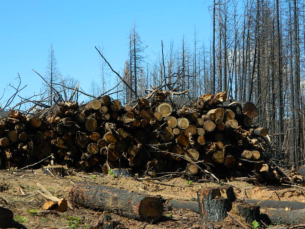
Large portions of the Sierra Nevada were greatly affected by recent wildland fires. This area was burnt by forest fire 2020 Creek Fire
From Mammoth Pool to Edison Lake, huge, old growth forests ignited in a major wildfire along the upper San Joaquin River, inside Sierra National Forest. Military helicopters rescued stranded campers by the hundreds, as seen on the nightly news.
BEWARE: this land may not look anything like the photos
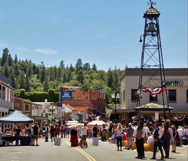
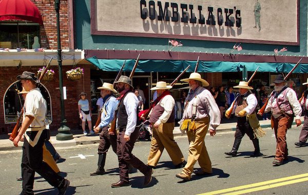
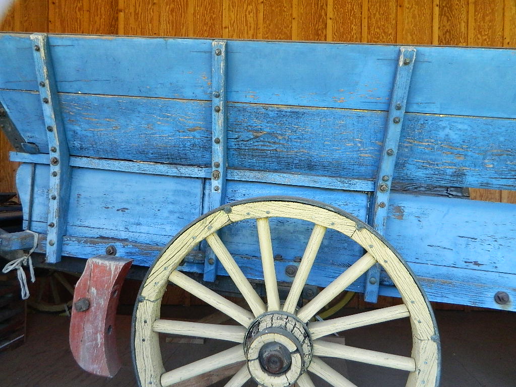
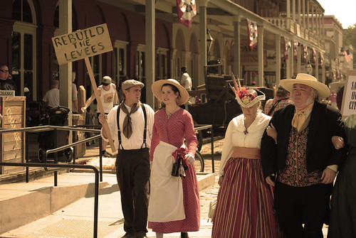
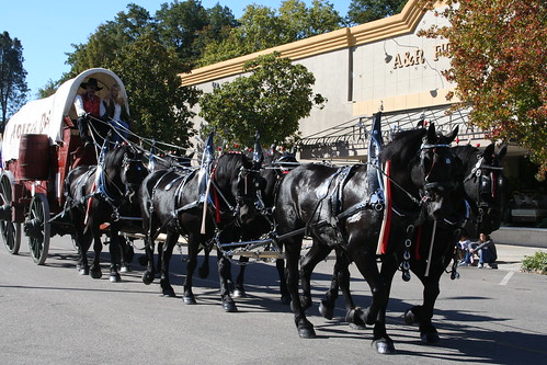
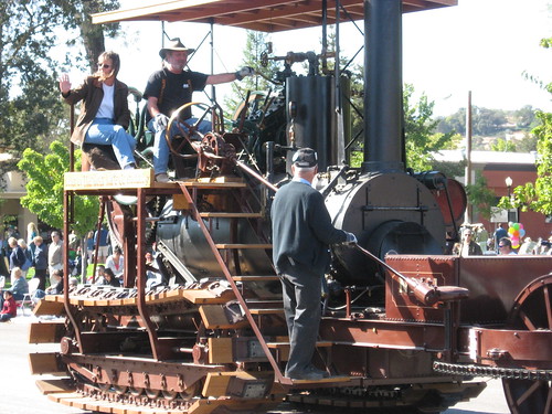
Living History in Downtown Placerville, California
Historic Gold Country. Walking parade, re-enactments, costumes encouraged. Street dance party (5pm). Live music all day, food, drinks, games. Free admission.
Annual event: June
Saturday 2-8 pm, One Day event
530-391-2190
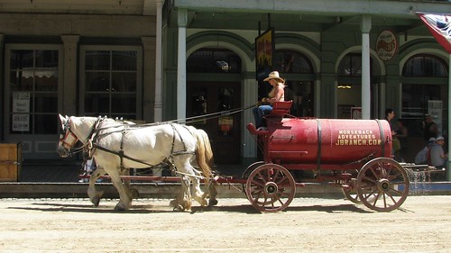
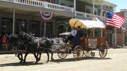
Sacramento Gold Rush Days in Old Town is now
“Waterfront Days Old Sacramento”
3-day event takes place on Front Street, The Embarcadero, and the 1849 Scene all along the wonderful Sacramento River. The heritage celebration features a wide variety of crowd-favorite entertainment, all free to experience and enjoy.
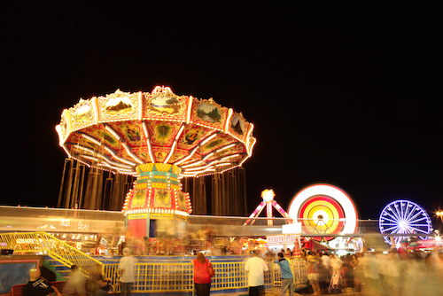
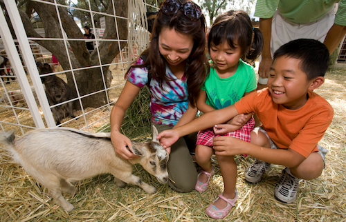
For over 165 years, the California State Fair has showcased the progress and advancements of agricultural industry. 17-day event with carnival rides & games, numerous exhibits, livestock, plus local wines, cheeses, craft beers, cannabis, olive oils, and fine arts.
1600 Exposition Blvd
Sacramento, CA 95815-5199
916-263-3000
In 1854 the first California State Fair was held in San Francisco.
Travel was a hardship for many in those days so organizers arranged for the Fair to move locations each year. Sacramento, San Jose, Stockton, and Marysville hosted the Fair for the subsequent four years. Pioneer residents quickly recognized tremendous riches in the fertile soil and so California’s number one industry, agriculture, was born. The Fair was the yearly source of entertainment and education for early settlers, drawing huge crowds of as many as 15,000 on a single day.
When the Fair returned to Sacramento in 1859, a decision was made to find a permanent home. Sacramento was a bustling city with more than 2,500 buildings and a newly installed water system using two and a half miles of pipe. Six square blocks between E and H Streets from 20th to 22nd Streets were bought with monies raised through a special election and contributions from local citizens. This site was called Capitol Park. One aspect of those early Fairs that deserves special mention is the significance of the horse.
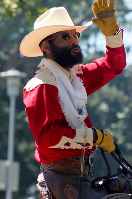
The Oakland Black Cowboy Association is best known for the Black Cowboy Parade & Festival, the only celebration of its kind in the U.S.A. This parade is held in memory of the black cowboys that helped to settle the American West.
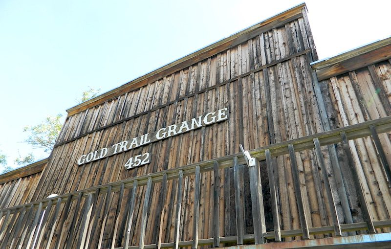
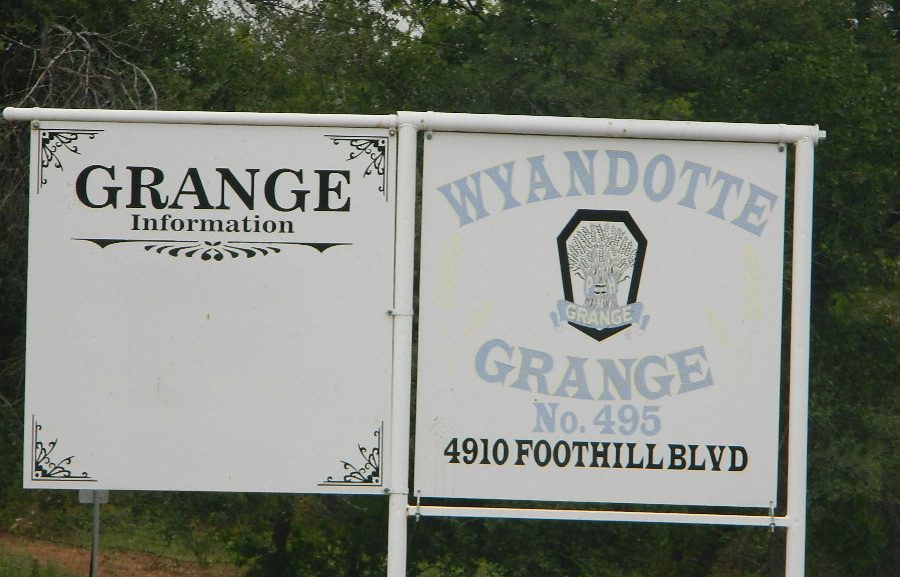
Why are most California Granges now called Guild Halls?
Simply, it’s FOOD politics.
Corporate food power versus local food production: organic, GMOs, bees, pesticide drift and a host of other issues. In 2011, all hell broke loose with the historic Grange Halls – newly elected officials, and the national goals versus the local community interests.
The following year California was voting to label GMO foods, a proposition which educated millions of eaters and chemical corporations spent gazillions opposing the bill, but it was only narrowly defeated. The National Grange was standing on the opposite side from the California State Grange on this important food issue. This may be when the chasm began to widen.
Hippies, yuppies, left coast thinkers. Fruits, flakes and nuts! Tree huggers, eco-terrorist. Damn liberals. Food and California.
Remember that half of California voters knew about genetically engineered ingredients a decade ago. Many of them made diet decisions based on new information readily available. Maybe they sometimes exercise outdoors, and dig this web site. Others choose to ignore the food topic and ingredients listed. Call it denial. Call it an obesity epidemic.
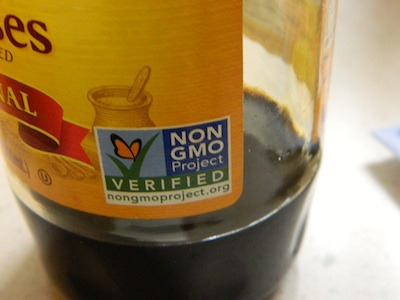
Although the labeling law did not pass, many companies begin putting NON-GMO labels on the front of the food packages anyway. Health food manufacturers, now major brands, especially food produced inside California.
The local food movements in cities and in rural communities started growing, prior to the year 2000; Grange membership began increasing (for the first time since the 1950s) as young farmers and organic farmers took a new interests in “creating community” and finding a cleaner, greener way to the future of food.
Now we have farmers markets and CSA’s (community supported agriculture programs) all over the nation. Fresh food deliveries on a weekly basis. Awareness has only been accelerating on the food topic – with organic food sales rising steadily over the past few decades.
The California State Grange backed 2012’s Proposition 37, which mandated labeling of genetically modified foods….
The National Grange suspended the California State Grange’s charter in September 2012, and revoked it in May 2013
We are anti-pesticide, anti-fracking but we are for food sovereignty. The National Grange is dynamically opposed to all of those. They are pro-GMO, pro-pesticides, pro-big farming as opposed to small and local farms. Politically there is a dynamic difference.
Food Movies: Food Documentaries, GMO Movie, Farm Documentary Films
One day event. Paso Robles Pioneer Day was established in 1931, providing a day of community friendship and a commemoration of the heritage of the north county San Luis Obispo area.
Nevada City’s Constitution Day Parade has been a local tradition since 1967 and is reported to be the oldest and largest Constitution observance in western America.
A parade, Revolutionary War Days Reenactment in Pioneer Park, the Gold Country Duck Race on Deer Creek and a free outdoor big band concert in the downtown historic district of Nevada City, Gold Country California. This place is known for its classic small town spirit and unique events, with a population of 3000, Nevada City swells to 10,000 or more on Constitution Day. Shuttle, Noon to 6pm
Pismo has loads of things to do in summer. Saint Anthony’s celebrates the cultural contribution of the area’s Portuguese descendants. Event held at 390 Bello St. Pismo Beach, CA
State Parks, State Forests, State Recreation Area, National Parks, National Monuments, National Forests – What is the Difference?
Forest, Park, Reserve, Monument, Recreation Area, BLM, Nature Preserve… arghh!
Don’t let all the park and forest names confuse you. It is all California and it is your public land! No bikes on trails, No gathering wood, No dogs here, No camping there; Now what?
Below is our overview graph for all California parks and forests – the basic concepts & the rules broken down for anyone to understand. Permits may be needed in certain areas. Only the government officials understand the true nature of all the ridiculous red tape.
Back country lands very protected from roads and human impact. Off limits to vehicles & mountain bikes. Only accessible by backpacking, hiking or horseback. Endangered species; Hard to reach terrains in the High Sierra. Overnight visits may require a wilderness permit.
Federal lands are national parks, preserves & monuments; highly regarded as some of the most scenic in world & protected. Very popular places and crowds often in summer. Limited use areas for camping & recreation. No mountain biking on trails. No dogs on trails. Try off-season. Drive thru entrance fees.
NM: California
National Monument
Located within the National Park System & more specific to a region. Historic buildings, geological features and deserts ruins qualify. Some National Monuments become National Parks. Many locations have entrance fees.
NRA: National Recreation Area
Located within the National Park System & somewhat specific to a waterways, coastlines, lakes and reservoirs. Some locations have entrance fees.
NSA:
National Scenic Area National Seashore
Located within the National Park System & is basically scenic area worth preserving. Usually no entrance fees.
Areas of forest lands throughout state; some surround the National Parks. 18 national forests make up 20 million acres of federal land. Multiple use areas: snow skiing, mining, grazing, off-roading. OHV & SVRA Tons of small campgrounds, recreation & primitive spots for real seclusion. Best bet for finding a spot away from the crowds. Get a free fire permit & camp on back roads. No entrance fees, some parking or day use fees; SoCal requires an Adventure Pass.
California Department of Parks & Recreation manages more than 260 parks. These smaller parks are located near cities with historical parks, as well as remote wild state land & coastal beaches. Entrance fees, day use, picnic and some have campgrounds. State Parks charge fees for day use, parking and overnight camping.
California SF: California State Forest
California Demonstration Forests, areas to be protected. Redwoods & Sequoia Groves; fragile eco-systems. Handle with care. May charge entrance fee or day use fee.
California SRA:
State Recreation Areas
California Department of Parks and Recreation. Lakes, Reservoirs, Rivers. Many have boat rentals and active marina. Recreation lakes charge entrance, day use, parking or boat launch fees.
Off Roading folks and dirt bikes can have their fun wheelin. Lands set aside for OHV use; dune buggies, quads & 4×4 enthusiasts. Most in desert regions; forest lands. Developed campgrounds large enough to accommodate RVs and trailers. Fees may apply in these off-road areas for day use or camping.
California County Parks
Desert hot springs, oak foothills and campgrounds, local hills w/ hikes, parks close to urban regions. Back roads & rural land protected from freeways & development. May require parking or entrance fees. Find these listed on the California A-Z town pages
City Parks in California
Urban Parks & Recreation, inside the city limits. Usually no entrance fees. Find these on California A-Z town pages
All public lands that do not fall into the above categories. Little to no fees for day use, recreation or overnight camping. Plenty of desert & off roading areas. Some forest lands, certain lakes. Small campgrounds or open camping allowed. Fees may apply in developed campgrounds. Camp overnight almost anywhere out here for free, with a ranger issuedcamp fire permit.
Sequoia – which one?
Sequoia National Park
Sequoia National Forest
Giant Sequoia National Monument
Imagine that the Southern Sierra mountains is home to 3 different public parks named Sequoia. Yep, it’s true. Sequoia National Park, Sequoia National Forest, and Giant Sequoia National Monument. Other parks that have Sequoia groves are – Mountain Home State Forest, Calaveras Big Trees State Park, as well as Yosemite National Park.
As far as the Coastal Redwoods, most are included under State Parks. Find these parks on the Central Coast Big Sur and Santa Cruz mountains, plus Marin County, and all along the north coast US Hwy 101 from Mendocino to the Oregon border. Numerous redwoods parks are located along rivers.
The super scenic Big Sur coastline is home to Julia Pfieffer Burns State Park and to the similarly named Pfieffer Big Sur State Park. Leave it to park personnel, state officials or the non-locals to create such a confusing naming system within our most-visited state.
Lava Rock @ Blue Lake in Modoc CountyHolcomb Valley Camp, Big Bear Lake, CA
Lassen Camping near a creek in Northern California
California Outdoor Recreation:
All parks, forests, preserves, monuments, public lands, lakes, rivers, wilderness, historical sites and museums can be found listed separately on our super duper local A-Z town pages
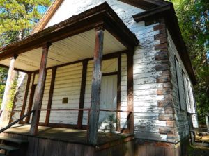
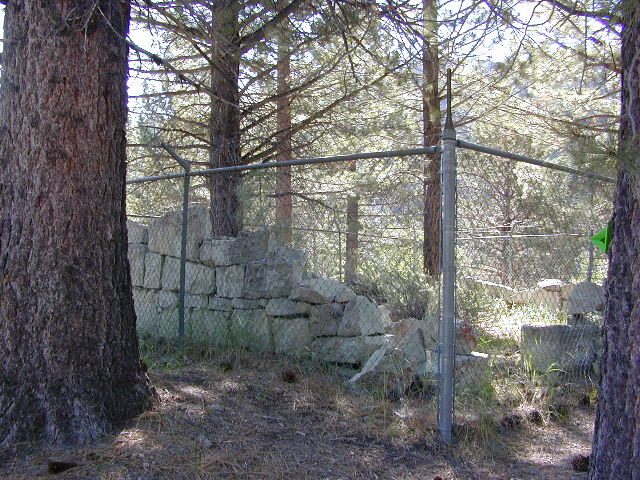
Historic Town Site: Kongsberg, Eastern Sierra, California
Silver Mountain City
Remains of City Jail @ Kongsberg, CA
Located on the lightly forested slopes of the Carson River. About 7 miles east of Ebbett’s Pass, Highway 4 (CA SR 4)
Silver Boom Town in 1866
population 3000
Founded as Kongsberg in the late 1850’s by Scandinavian mining prospectors, the town name was later changed to Silver Mountain City. This wild, remote locale was the county seat for Alpine County from 1864 to 1875. The mining camp town was abandoned by 1886.
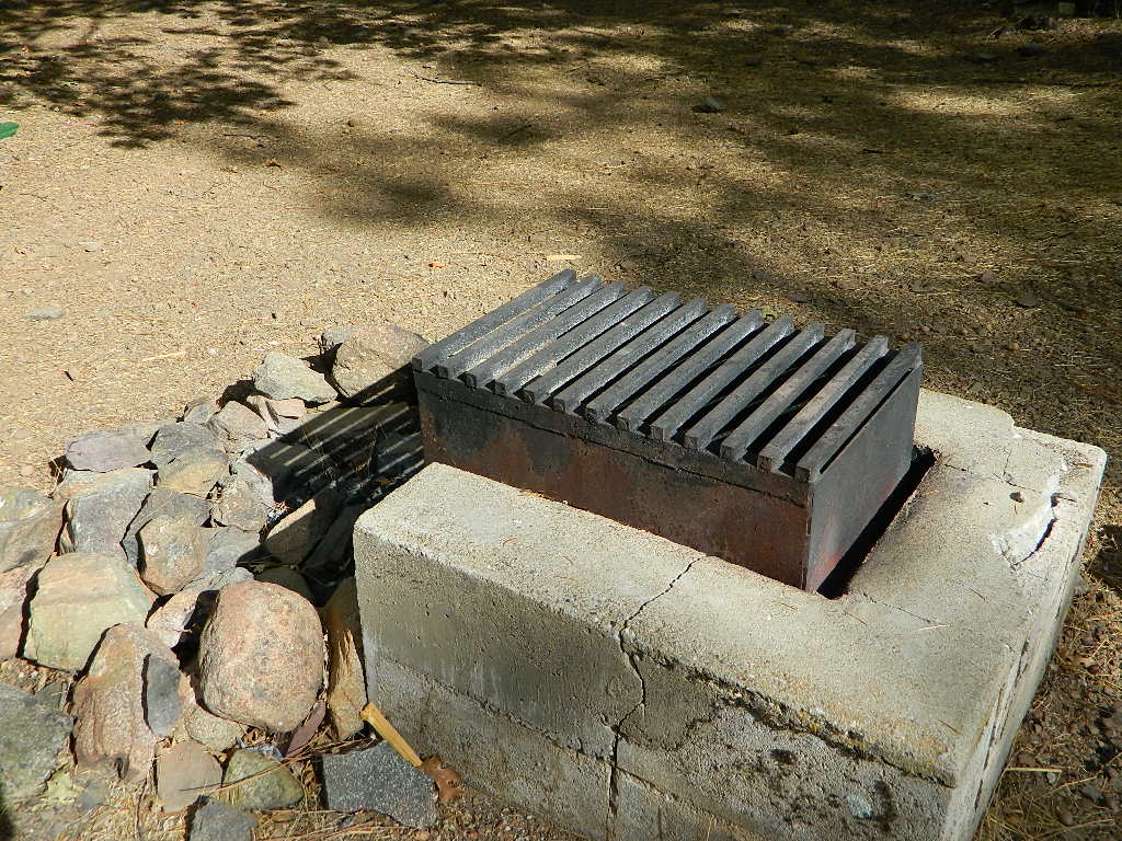
This canyon stretch of SR 4 highway has limited primitive camping options along the water. Flat dirt clearings and maybe a rock fire ring. No facilities, no bathrooms.
Silver Creek runs parallel to the highway and meets East fork of Carson River. Google Maps has this named Alpine State Hwy (which is closed in winter)
Drive less than 55 mph to take in all the scenery, slower if you want to find a decent place to stop. Look for easy pull-offs on dirt, a few trails, parking spots, picnic trees, some favorite fishing spots. Campfire permits are needed for dispersed camping.
Carson River SR 4
Humboldt-Toiyabe National Forest
NFS Campgrounds nearby :
Silver Creek Campground @ 6800′ elev.
NFS developed camp w/ fee (open June-Sept)
Centerville Flat Campground @ 5900′ elev.
undeveloped sites. Silver Creek meets East fork of Carson River
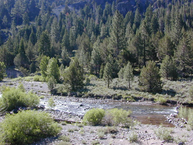
Large, granite, alpine lake in the Central Sierra Nevada Mountains. Abundant trout fishing, swimming, camping, boating, hiking, floating, kayaking, picnic sites, and high altitude backpacking trailheads. Shoreline fishing is just as good as by boat. Fishing boats can be rented at Kit Carson Lodge.
The high altitude location makes this a winter wonderland half the year w/ snow ski resorts nearby! It is an awesome summertime family vacation destination as well. Fishing is excellent through Autumn months. Campgrounds close up shop in October, generally when the snow starts. High Sierra – Deep snow pack means they will not reopen until May (at the earliest).
Carson is major Sierra Pass highway, but it closes for big snows, so always check CalTrans before you make the drive up the mountain. Carson Pass is California State Route 88, which connects the Gold Country (on the western slopes) to the South Lake Tahoe region (on the eastern border), near Nevada.
Check Current Highway Conditions for HWY 88 roads.dot.ca.gov
Cal Trans 800-427-7623
Silver Lake Day Use Areas
These areas listed below are operated by El Dorado Irrigation District and they do charge a day-use fee for many of the amenities provided. Boat Launch fee? Yep. Parking fee? Maybe. Picnic stop! How much? Eat fast!
Ferguson Point is located on the north shore of Silver Lake: 10 picnic tables & vault toilets.
Sandy Cove is on NW shore of Silver Lake: Wheel-chair access to lake edge, 5 picnic tables, piped water & vault toilets.
Oyster Creek Rest Area, up along Highway 88, 1 mile NE of Silver Lake: 10 picnic tables & vault toilets.
Historic Memories: Camp Minkalo, Camp Silverado & Kays Silver Lake Resort are all closed now.
Many small businesses come and go in the rural mountains of California. Throughout the decades, some do survive, but many change hands, change names, or have a difficult time ‘making it all work’ in the off-season. Always call ahead (real phone w/ real person) before you make a big drive to a remote location.
National Forest Campgrounds in this lake vicinity:
East Silver Lake Campground – 62 sites
West Silver Lake Campground – 42 sites Kirkwood Lake Campground – 12 sites
Silver Lake Campground NFS
• Elevation: 7200′
• Number of Sites: 62
• Vehicle Accessibility: RV 30′
• Campsite Reservations: Yes
• Camp Fee: Yes
• Toilet: Vault
• Length of Stay: 14 Days
• Season: June – October
• Trailheads: Hidden Lake, Sandy Cove
El Dorado National Forest
Amador Ranger District
26820 Silver Drive
Pioneer, CA 95666
209-295-4251
Older lodges, resorts, camps and cabins at Silver Lake were mainly built in the 1920s, while the oldest resort dates back to the mid 1800s. Wow, how cool is that! Much history in this mountain region w/ Kit Carson Emigrant Trail, all stories totally worth exploring.
at Indian Valley, Northern Sierra Nevada mountains
also known as – Taylorsville County Campground Taylorsville Community Campground Taylorsville Park Campground
Beautiful North Sierra Nevada. The rural country life is out here… in the mountains of NorthernCal. Cattle ranches, a few sheep, grazing deer, big old barns, bike races and much residential. Taylorsville is a very small town, on the edge of the Indian Valley. Right across the valley from Greenville and Round Valley Reservoir.
elevation: 3200′ camp sites: 32 piped water near camp: yes toilets: flush showers: yes fee: yes season: May-October
Easy Walk to Town – Taylorsville, CA
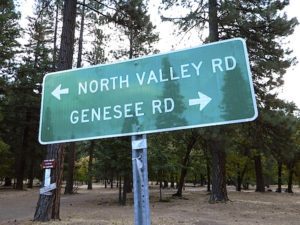
The wooded campground is located at the intersection of North Valley Road, Genesee Rd and Arlington Rd – a few miles off the main highway 89.
Looking for a quiet place to tent camp in between Quincy & Greenville? then this is it. The best developed campground option in the whole region. Closed for winter months – cuz it does snow pretty good up here.
This shaded tent campground loop is on a hillside; across the street from the small rodeo grounds, the community park w/ picnic areas, tennis courts and a small RV park. Campground host located behind the bathrooms.
Nearest local laundromat in nearby Greenville, behind the main grocery market.
bathing… would be nice
Flush toilets and showers, affordable overnight prices, plus ideal walking-hiking-biking location make this a special campground worth mentioning!
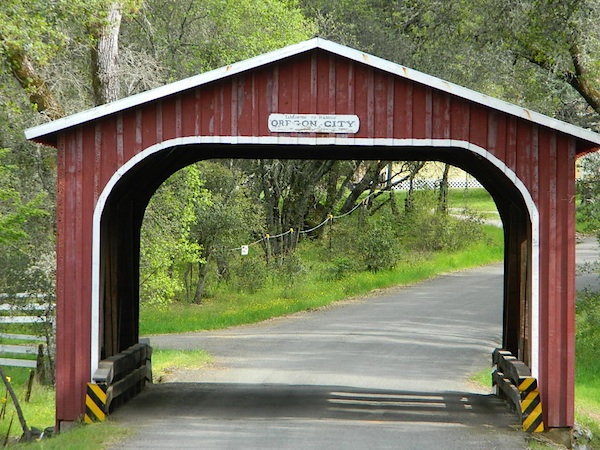
Oregon City Bridge, off Cherokee Rd, N Oroville, CA
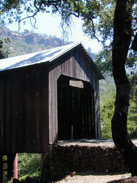
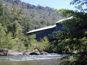
Overland pioneers and miners flooded the Sierra Nevada mountains after 1848, when gold was discovered, transforming the natural landscape and native life of California – in horrendous ways. Industrius, eager and using the abundance of natural resources available to build homes, divert creeks, and construct a new way of life. Mining for precious metals was not a hobby, it was a ‘way of life’ for many who sought westward locales. Most traversed a continent on foot with covered wagons to get out here.
Many early bridges made of wood have disappeared in California. Historic places, such as these few wooden bridges of the West, need to be protected and preserved. So no carving your initials; spray paint (tagging), littering – nor bullet holes.
Felton Covered Bridge
Santa Cruz Mountains & Redwoods
Railway Train Rides Felton, CA

 If you could care less about celebrity gossip or television, you are not alone. Many people seek more relaxing travel in their lives, but can barely afford a vacation, or a day off of work.


 At first we thought it would require more map insight in finding the lodge under such wintery conditions. But to our surprise, the road we had been traveling on, Highway 168, just dead ended at our weekend getaway. The check into the lodge was fast and simple, soon we found ourselves settling into a decent rustic cabin with drifts of snow twelve feet high all around. Thanks to the constant plowing of roads, everything was accessible within reason due to El Ninos erratic behavior.
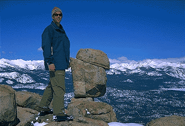


 Pacific Crest Trail access –


 Taylorsville Park Campground