Tag Archives: desert

Carrizo Gorge Goat Trestle

,Carizzo Gorge

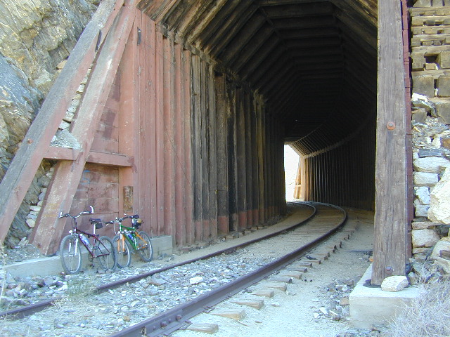
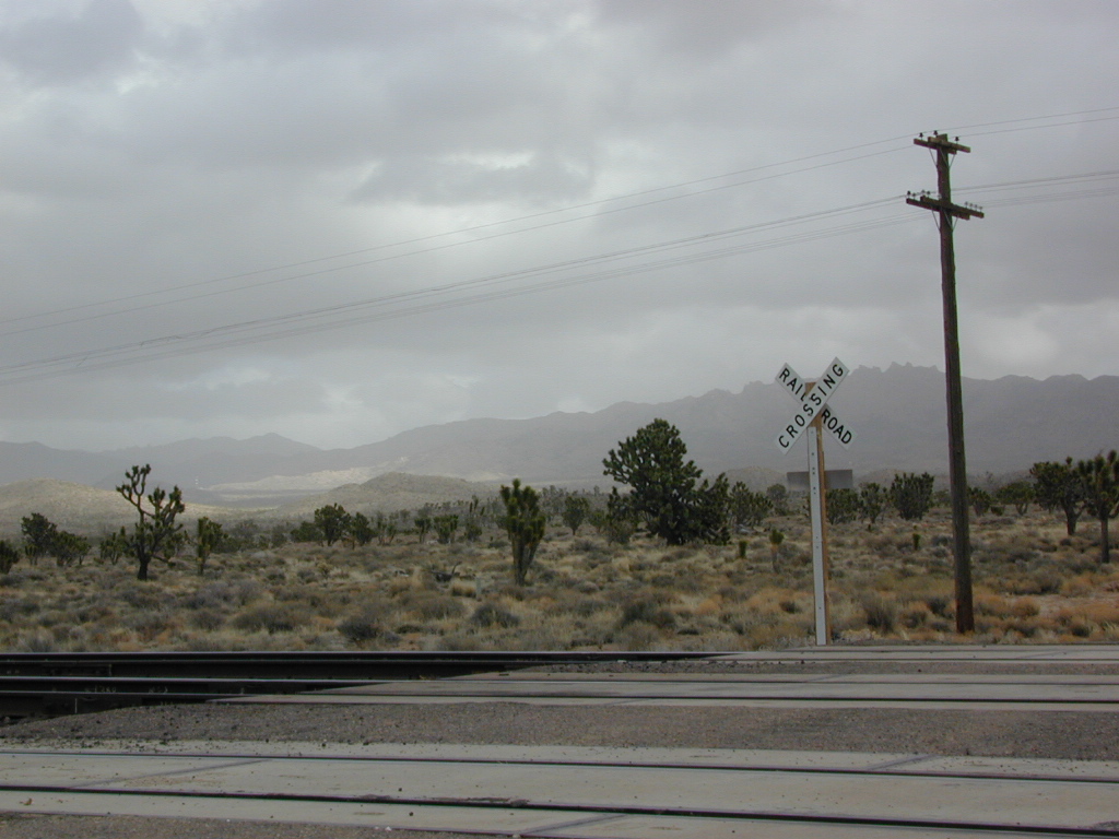
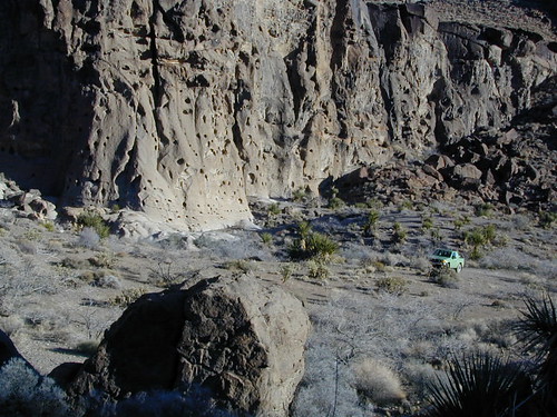
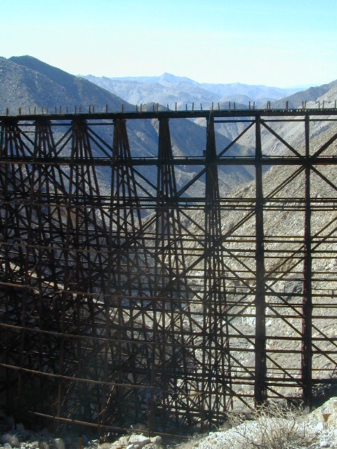
Carrizo Gorge Goat Trestle – via Mortero Wash. Near the south end of Anza Borrego State Park is the infamous ‘goat trestle’, one of the largest wooden rail road trestles in the US.
giant trestle desert

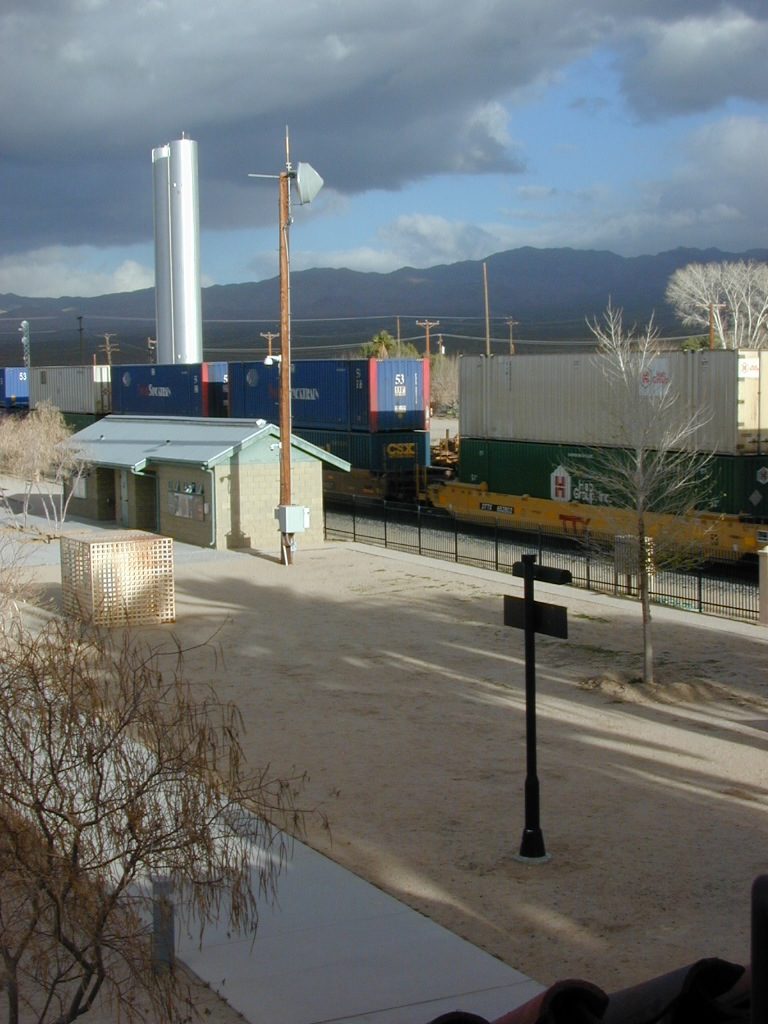
This hike can be reached by driving N on San Diego County Road S2 (from I-8) into Anza Borrego Desert State Park. Near the park boundary keep your eyes peeled for Mortero Canyon Rd (signed) on the left side. This is a sandy, one-lane, dirt road, accessible by passenger car, that leads out to the train tracks & then past to the Mortero Big Boulder campsites. Park at rail road tracks near water tank & start hike from here.

NOTE: Do not be alarmed if you happen to see NUDE hikers coming from the opposite end of this railway, where a nudist resort is located along Interstate 8, called De Anza Springs.

hike bike primitive camp sites

Carrizo Gorge Trestle
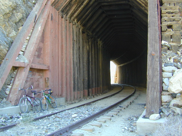
Railroad Tunnels, near Anza Borrego Desert

rail road history

San Diego & Arizona Eastern Railroad ­ SD&A/SD&AE

Ground was broken on September 7, 1907 by San Diego’s Mayor, John Forward and the construction of the 140 mile route was completed on November 15, 1919. The first through train was the called the “Golden Spike Limited”, named after the $286 golden spike, which John D Speckels drove into the ground near tunnel #8.

  • The Goat Canyon Trestle was built in 1932 to re-route tracks due to a landslide.
  • Passenger Cars Ran until 1951.
  • The route through Carriso Gorge was closed temporarily by Tropical Storm Kathleen in September of 1976.
  • And was reopened 1981, and then closed again by recurring storms.
  • Kyle Railways ran freight cars until mid 1984.

train

The Carriso Gorge section has fallen into disrepair with two trestles being burned and the collapse of two tunnels as the result of fires. The trestles have been rebuilt and one of the tunnels has been repaired – however,  this scenic section of track is used mostly by hikers and mountain bikers.

Goat Trestle Anza Borrego Desert

Other Facts: Derailed cars are from 1984 and were filled with bags of cement. Laborers were brought in to unload the cement but the cars were left. The Goat Canyon Trestle is 185″ tall and 600″ long. During its use it was the tallest wooden structure in daily use. Hence, this trestle was designated a Historic Civil Engineering Landmark in 1986. Carrizo means “reed grass” in Spanish. Total cost of construction was $18 million.

In 1979 the SD & AE west of Plaster City was sold to the Metropolitan Transit Development Board for $18.1 million. SD&A was said to stand for “Slow, Dirty and Aggravating” generally because of the high temperatures, smoke and open windowed trains cars.
South end of Anza Borrego State Park
Dispersed camping
Dispersed camping (for free) in the Boulders

califrepublic

see more
RailRoads & Historic Train Towns in California

Mortero Wash

Anza Borrego Desert State Park / Mortero Wash

San Diego Desert Camping

south anzaxterrayellow

Primitive desert car camping close to SD

fireboulders

Interstate 8 EAST from SD / exit Ocotillo. SD county road # S2, the south end near the State Park boundary. Gorgeous every season but summer. Great winter camping close to SoCal.

This  dirt road is located in a desert wash area, which starts west – off the paved road S2. The signed white desert wash is a suitable drive for passenger cars (most years). But you best have 4×4 if the rain gets going good. Low riders should watch for the ridge lines – as they are naturally rockier places and could take out an oil pan of a mini SUV (at a high rate of speed).

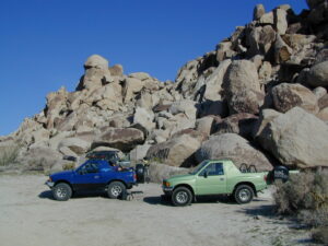
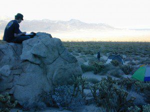
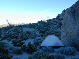
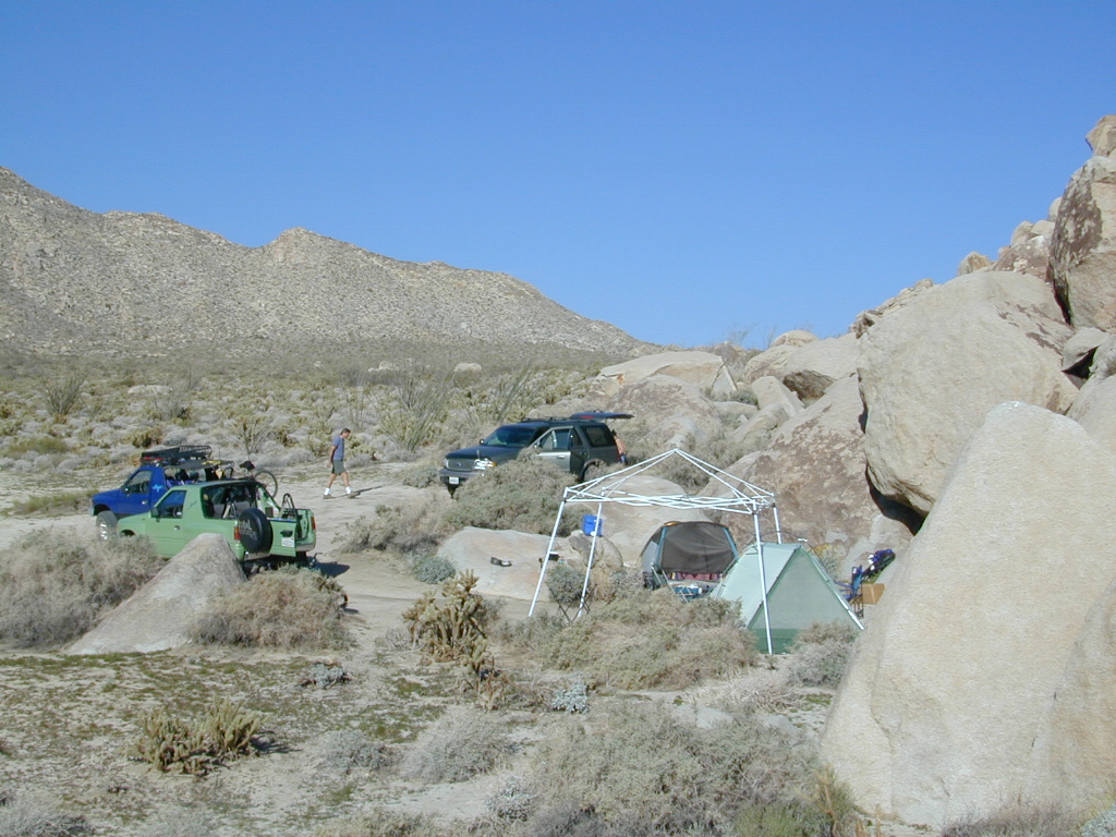
mortero campsThe giant boulders garden at the far end of this route have nice views of the Imperial desert floor. Better from the top of the boulders too; numerous primitive camp sites are tucked into the coves, surrounding the big boulders.

No toilets; no shade; no water; minimal vegetation. At night the stars are heavenly, but you can see city lights from Calexico and Mexicali.

train

GOAT TRESTLE?

From this area you can hike or mountain bike up to the “old goat trestle” and numerous historic train tunnels @ Carrizo Gorge Goat Trestle (not to be confused w/ the wildflower destination called Carizo Plains in Kern Co). BRING A HARD COPY topographic MAP of this area, if you wish to explore past camp. Moderate hike, an all day adventure. Bring lunch and water!

bike on railroad

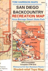
Tom Harrison Anza MAPSAN DIEGO Backcountry Map
this waterproof map has the entire State Park covered with all back roads, trailheads, campgrounds and railroad tracks

artistsview

bouldertents

When you decide to stop the car, look around for the best spot. Park off the road way and preferably in a turn out or camp spot. Turn off the engine, get out of the automobile, stretch your legs, breathe, look, close your eyes – tight and breathe deeply, then open and look around you again. This particular place is special, you can just feel it. Walking around the boulder area, be cautious of snakes.

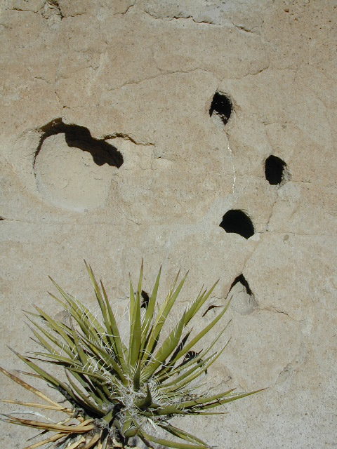
On the boulders – closely examine them, climb on them, get to the top; you will find (Native American) Indian grinding holes called mortars or morteros.

gethigher

great side trip option: Across the paved road (SD County Road S2) on the opposite side of the valley is a nice hike to Sand Dollar Hill. (I’m sure this isn’t the real name). Dirt road leads up to a dirt parking area for hikers. Busy lil place sometimes. These desert dirt hills have wind caves and chunks of sand dollars scattered all over them. The real ocean floor way out here, east in the Anza SD desert… how cool is that?

great side trip option: Canon Sin Nombre is just up the road a piece, N on S2, on the EAST side of the road. Amazing viewpoint turn out, right on the highway, overlooking the impressive topography and badlands. If you have a high clearance SUV or any truck you can drive down into the sandy tight, rocky wash. It meets back up with another main wash way back there.

Tons to explore back here. Off roader should think Tread Lightly on this turf and primitive car campers should use a Leave No Trace approach. White sand, deep sand, caves, smoke trees, and the best slot canyon climbing & hiking this side of the Anza Borrego State Park.

desert views

Borrego Double Century

borrego bike race

Borrego Double Century Ride

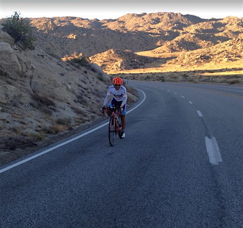
Anza Borrego desert annual bike event, riding from the desert to the coast and back. North San Diego County

500 rider limit
Total Mileage: 193 miles
Total Elevation: 14,400 feet

start & ends @
Stanlunds Inn
2771 Borrego Springs Rd.
Borrego Springs, California 92004
760-767-5501

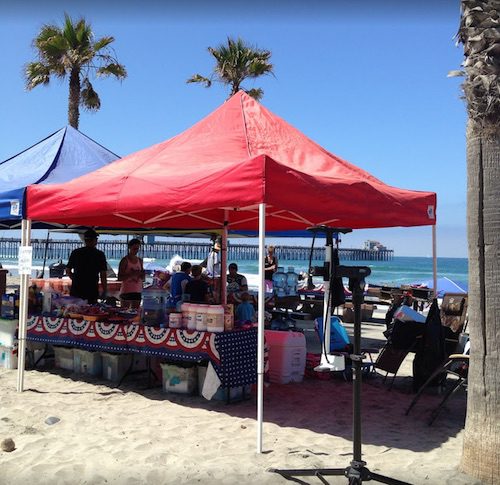
Lunch at the beach – Oceanside, CA

Annual event; May

Borrego Springs CA

mtnhighcycling.com/Borrego_Double_Century

race lunch

La Quinta Art Celebration

X70 LA QUINTA ART 102916 08

Art Celebration @ La Quinta

200 Premier Artists with 12 Categories of Art

Gourmet Food Court, Champagne Bars, Margarita Island, Winery Row. Celebrated local restaurants offer a wide variety of food; eclectic lineup of Southern California musicians and live music performances.

Bi-annual event: March & November

La Quinta, CA

laquintaartcelebration.org


Desert Safari 4×4

Tierra del Sol 4×4 Event

Forty-something years running, this San Diego county desert 4×4 event is one of the most popular off-roading weekends. Tierra Del Sol, a local 4 wheel drive club sponsors this wheelin fest in Southern California.

Held near the small community of Ocotillo Wells, near Truckhaven Hills – east of Anza Borrego Desert State Park

Annual event;  March
BORREGO SPRINGS CA

tdsdesertsafari.com

4x4

Burning Man

Burning Man 2013

Burning Man

@ Black Rock City, Nevada

for those seeking the wilder side of camping out

Week-long event; Black Rock Desert NV

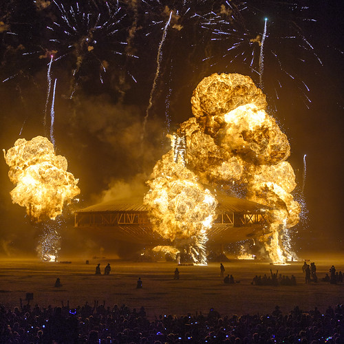
Everyone (who is anyone) has heard of this massive annual desert party by now. The historic bon fire event that started in Santa Cruz in 1986 and then moved out to the deserts of Nevada. Way north of Reno!

The event is getting bigger by the decades, so expect a mind altering experience with tens of thousands of well-decorated lost souls. Advanced tickets are required.

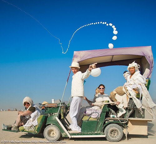
Sunrise Balloon People, Burning Man 2011

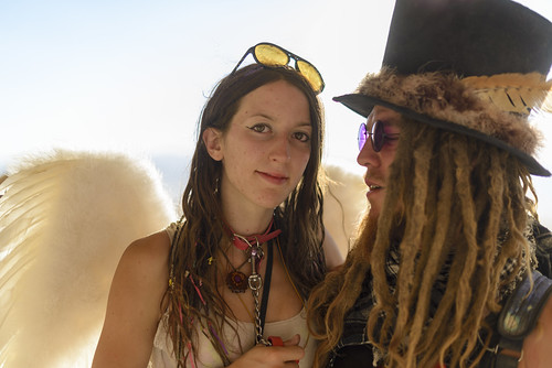
Art cars, construction, costumes, pyrotechnics, live bands, music DJs, the playa dust & summer desert camping w/ 70,000 other freaks in the temporary set up of Black Rock City.

BRC = Black Rock City

NPR said about Burning Man, “Once considered an underground gathering for bohemians and free spirits of all stripes, Burning Man has since evolved into a destination for social media influencers, celebrities and the Silicon Valley elite.”

Annual event;  August

burningman.org

Burning Man 2013

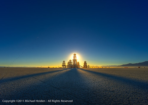
The Temple of Transition - Burning Man 2011

Silver Lake California

Silver Lakes @ Bucks
Silver Lake, near Bucks Lake Wilderness

Numerous Silver Lakes, Creeks and other “silver” terrain can be found inside California. After the Gold Rush of 1849 in the western Sierra, Silver was discovered in Nevada shortly after (east of Sierra Nevada mountains). This page is an overview on all places with SILVER in the name, or places that have had a history of silver mining. California Counties are listed in parenthesis. Links below will lead to more detailed pages or campground reservations.

Silver Lake @ Lassen

(Lassen Co)

silver kayaker

Silver Lake @ Bucks

(Plumas Co)

silver88

Silver Lake @ Carson

(Alpine Co)

Silver Fork of the American River. Silver Fork Road connects US Highway 50 & Carson Pass Hwy 88. Silver Fork Campground & China Flat Campground (NFS) are both located on this remote, backcountry route, about 8 miles from US Hwy 50 campground

golden glow june

Silver Lake @ June

(Mono Co)

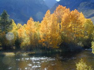
Autumn aspen groves ignite with color in October. Often, some of the best fall colors in the Eastern Sierra. Day trips w/ fishing. Hiking everywhere. Overnighters or backpackers could be greeted with snow at anytime in October or later. The June Lake Loop (SR 158) closes for snow annually!

California Lakes named Silver

Silver Lake @ Gold Lake

(Plumas Co)

Lakes Basin Recreation Area also has a hike-in Silver Lake, trailhead near Gold Lake on Gold Lake Highway

Silver Lake @ Gold

califrepublic

below are silver mining camps and other silver related destinations, plus some campgrounds


Bodie SHP (State Park) calsp
(Mono Co)
8375′ elev. US Hwy 395 near Bridgeport, CA. Infamous, high desert ghost town, now a California Historic State Park. Large gold mining camp w/ well-preserved, wooden, old town structures. Silver was discovered in nearby Aurora Canyon.  All dirt road access. No developed campground @ Bodie, so try nearby Green Creek Road instead. Or high desert, back road camping on Aurora Canyon Road over to Bridgeport Reservoir.

Cerro Gordo
(Inyo Co)
8500′ elev. Inyo mountains, West of Death Valley, east of US Hwy 395 @ Junction 136. Old mining camp rich in silver history. Someone might even live up there. Extreme remote location in rugged, high desert mountains. 4×4 is always required!

Silver City Sequoia NPS
(Tulare Co)
6935′ elev. cabin resort on Mineral King Road, in the South Sequoia National Park

Silver Creek Campground NFS campground
(Alpine Co)
Developed Campground south of Markleeville, Highway 4, Ebbett’s Pass, Central Sierra Nevada

Silver Creek Campground campground
(Placer Co)
Camp right on the Truckee River, and on busy Hwy 89. in between Truckee & Lake Tahoe, California

Silver Valley Campground & Silver Tip Campground (Alpine Co) are both located near Lake Alpine on Highway 4 Ebbetts Pass , Central Sierra

jacksonmdwsign

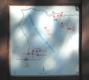
Silvertip is also a Group Camp at Jackson Meadow Reservoir (Sierra Co) off Hwy 89, North of Truckee, CA. Silvertip Group Campground, as with all group camping facilities, is by reservation only.

Silver Lake @ LA
(Los Angeles Co) a hip and popular, tree-lined neighborhood in Los Angeles, near Griffith Park.

Silver Lake
(San Bernardino Co)
Silver Dry Lake, a dry lakebed in the Mojave desert, near the Hollow Hills Wilderness, north of Baker, CA off I-15

Silver Lakes
(San Bernardino Co)
2430′ elev. a desert community southwest of Barstow, near Helendale, CA. Located on the Mojave River (which flows underground) in between Historic Route 66 & US Hwy 395. Attraction nearby – Exotic World, the Burlesque Hall of Fame.


silverstrand

Silver Strand State Beach State Park

(San Diego Co)
A sliver of sand makes up this narrow beach, barrier island for San Diego Bay. RV Camping, best in SD. South San Diego, Coronado Island campground

silverwood

Silverwood Lake SRA State Park

(San Bernardino Co)
State Recreation Area @ Cajon Pass I-15
in the San Berdu National Forest


lacontedivide

High Sierra, California

hike-in only

backpacking

Silver Pass Lake
Silver Divide & Silver Pass
(Fresno Co)
11,000′ elev

Located in between two 12,000′ peaks
near PCT – Pacific Crest Trail
John Muir Wilderness

backpacking

Silver Lake
(Tulare Co)
11,000′ elev

via Mineral King trailheads
Golden Trout Wilderness
South of Sequoia NP
Southern Sierra Nevada

Another Hike


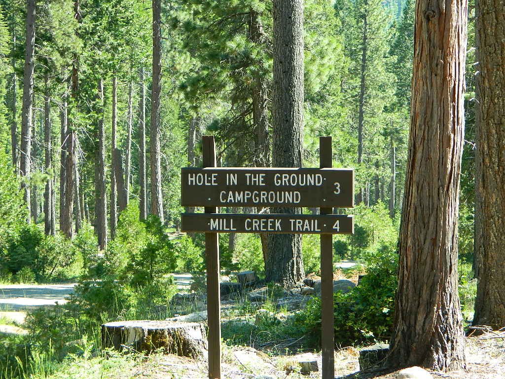
Hole in the Ground

mill creek days

Hole in the Ground, California

Hole-in-the-Ground Campground NFS NFSlogo
Lassen National Forest
dirt road access #28N06, off Hwy 172 @ Mill Creek, CA
South of Highway 36, near jct Hwy 89hiker

• Elevation: 4,300′
• Number of Sites: 13
• Vehicle Accessibility: No trailers
• Campsite Fee: Yes
• Campsite Reservation: No
• Campsite Water: hand-pump well
• Toilet: vault
• Length of Stay: 14 Days
• Season: April – October
• Trailheads: Mill Creek Trail

Shady pines campground situated near the wild and raging Mill Creek, on the south side of Mount Lassen. Outside of the Lassen National Park, this NFS camp offers a real backwoods feel and more seclusion. Easy foot access to Mill Creek and also the Ishi Wilderness.

Picnic tables and metal campfire rings provided at these campsites. Summers can be busy, but mid week you may have the whole place to yourself. NOTE: 3 miles dirt road access Lassen Forest Road #28N06. Trailers and large RVs are not recommended on this dirt road.

campsite 8

holeinthegroundsign

campfire fish camp

nearby towns – 

Lassen National Forest NFS

Lassen National Park NPS

NFSNFS web link USDA

yet another?

Hole in the Ground, is also the name of a remote wilderness canyon deep in the Sierra Nevada mountains. Located on the Upper Kern River – in Grasshopper Flat near Hockett Peak (8551′ elev). All inside the Golden Trout Wilderness;  accessible only by horseback or hiking trail. Find it on foot @ Jerky Trailhead on National Forest Road# 22S82

driftwood

holes_in_rock
Hole in the Rock
holeinrockbackside
Backside Hole in the Wall, Mojave NP

Hole in the Wall, California

Similarly named, Hole in the Wall Campground is a popular spot in the Mojave National Preserve. Group facilities, horse corrals, developed campgrounds, centrally located, yet close to Interstate 40.

Stop by the “Hole in the Wall” Information Center (760) 252-6104, for more info and maps. The most popular hike, the Ring Trail, will leads thru rock face (above) to the campground on Black Canyon Road, on the other side of this huge rock wall.

Mid Hills Campground (nearby) has better choice on secluded camping, but rougher road to access. Mojave desert has abundant camping, so there is plenty space for everyone!

mojavehikes
Mojave Hikes @ Hole in the Wall


Camping for Thanksgiving

Turkey Casserole
Turkey Leftovers?

California Camping on Thanksgiving

If you’ve had it with the traditions, the big meal prep, or just sick of the family. Maybe you are a solo traveler, or a new transplant to California and need to explore more. Take a holiday away – for once this time.

Camping for turkey day? What a concept.

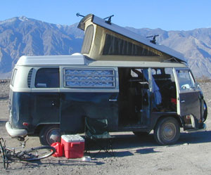
VWBus Death Valley
California is the perfect place for camping, all year long!


Stick to the lower elevations, look for canyons, and seek seclusion

California mountains often have snow during November. Avoid camping in snow @ 4000-5000′ elevation and above; Freezing temps above 3000-4000′ elevation.

Deserts, coastal regions and foothills are top choices for late Autumn car camping. Always check the weather ahead of departure, and have a plan B as an alternative. NorCal will be much wetter than the rest of the state.

MEALS: Prepare dinner meals ahead of trip departure. Bake turkey days before your trip and create meals based around that. Make mash potatoes at home and don’t forget to bring the butter. Pack pre-baked turkey for sandwiches, plus other quick snacks & meals for on-the-go travel.

seafood
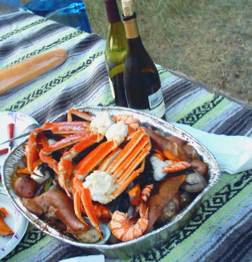
Non Traditional: Seafood Feast

Desert Camping is premium at this time of year. Luckily the eastern half of Southern Cal is desert. The lower the elevation, the better the temps will be overnight. Be prepared for wind when the ‘storm fronts’ approach, the winds do get a cranking! Dirt roads can become flowing washes during a good rainstorm, so know the weather forecast.

Coastal campgrounds may need advanced reservations. Be prepared for wet weather, especially up north. The redwoods groves are gorgeous anytime of year.

Gold County Reservoirs are prime areas for relaxing in nature, while everyone else is out shopping. Oak hills, rivers and canyons. RV campers love these large lakes; boating, fishing, mountain biking trails, kayak rentals, hiking near historic Gold Rush towns.

River Canyons of California are always beautiful destinations in the autumn months with fall leaves changing color. Many campgrounds can be found at lower elevation, river access areas.

California’s abundant Hot Springs are also top picks for holiday weekends.

Joshua Tree Campout

Joshua Tree National Park may be busy during this weekend. Instead try nearby Mecca: Box Canyon and Mecca Hills Wilderness, BLM desert lands near Interstate 10.

Anza Borrego Desert State Park is always a nice, easy and relatively close get-away for any holiday. Open camping on the backroads (for free) makes it one of the most attractive camping options in all of SoCal. Many dirt roads are accessible for passenger cars, if extreme caution is used. Don’t plan on driving more than a few miles on dirt.

froaders

Masses of off roaders love to camp out, especially on Thanksgiving weekend. Wheel all day, eat, drink, bon fires every night and rumor has it ‘they roast their big bird outdoors – deep in a dirt pit’. Really?

El Centro, Glamis, Imperial Dunes, Ocotillo Wells, Truckhaven Hills, Johnson Valley. All popular off roading areas in Southern California, so consider yourself warned.

Imperial Dunes

Mojave Desert, near US Hwy 395
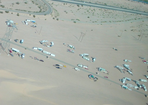
Jawbone Canyon expect to see RVs, toy-boxes and families outside enjoying the weekend. OHV style. Often the group tries to create a round corral with their huge convoy of vehicles, to keep thru traffic to a minimum around “their camp”. Just stay well away from those gear-heads. In general, it is a very busy area around Mojave up to Hwy 178 during the holidays. Try high desert Horse Canyon instead.

Bodie State Park
Bodie State Park

Tent Camping

Death Valley National Park is one of the best destinations for Thanksgiving, cuz Panamint Springs serves their free turkey dinner.

Did someone say FREE?

Leon at Mahogany

San Diego Camping

Anza Backroads

Cleveland National Forest Camping – San Diego Campgrounds – Desert Camping Anza Borrego – SD County Campgrounds – BLM Campgrounds – San Diego Beach Camping – San Diego Mountains

campground elev spots veg toilet water notes
Bobcat Meadow 3800′ 16 oaks vault no no RVs
Burnt Rancheria 5000′ 100+ pines vault piped Sunrise Hwy
Cibbets Flats 4200′ 23 oaks vault piped Interstate 8
Corral Canyon 3500′ 20 oaks vault piped OHV near I-8
Dripping Springs 1800′ 26 oaks vault piped Hwy 79, E Temecula
El Cariso North 2600′ 24 oaks vault piped small RV
Fry Creek Campground 4900′ 20 oaks vault piped Palomar Mountain
Indian Flats Campground 3600′ 17 oaks vault piped off Hwy 79
Laguna Mountain 5500′ 75 pines vault piped Sunrise Hwy
Palomar SP Campground 7000′ 13 pines vault piped Palomar Mountain

Anza Camping

Anza Borrego Desert Camping & Campgrounds

Desert Mountain Biking Open Camping Stargazing Hiking

San Diego County Campgrounds

Sweetwater Reservoir, Otay Lakes, Agua Caliente, Vallecito
Camping Reservations 877-565-3600 or 858-565-3600

Camping

Bureau of Land Management

San Diego BLM Camping

Lark Canyon, Cottonwood @ McCain Valley near Interstate 8
El Centro Desert OHV, Hot Springs, Colorado River

Coastal Cliffs San Diego

San Diego Beach Camping

Coastal Towns with Camping near San Diego –

Chula Vista
Coronado
San Diego
Mission Beach & Bay
Del Mar
Cardiff
Carlsbad
Oceanside

Indian Flats Campground

Indian Flats Campground is located on a dirt road off Hwy 79, near Warner Springs CA. Boulder ridges & manzanita surround this oak filled secluded canyon. Small seasonal creek & waterfall is a short walk from campsite.

Los Coyotes Campground is a tribal camp, located on Hot Spring Mountain in North San Diego County. High desert chaparral, oak groves and boulders.

Free Camping
Anza Borrego Desert by far has the best free camping options available near San Diego.

Maps Mountains / Desert Topo / San Diego Area Maps

Death Valley Charcoal Kilns

Wildrose Charcoal Kilns – Death Valley

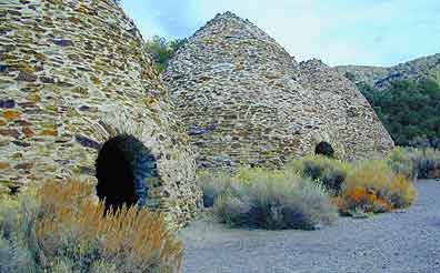
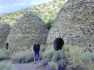
the 10 kilns are large
The acoustics are really cool inside these historic stone structures. Spending some time at this place humming, drumming & singing. Stand right in the center floor space for the best sound.

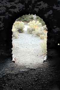
one window & one door

The western ranges of Death Valley National Park offer some interesting sites & hikes. This canyon called Wildrose is higher in elevation, a lot cooler than the valley floor, plus it does get pretty dang windy.


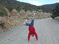
These bee-hive shaped kilns were used in the 1800’s for making charcoal, that was used in nearby mining operations. Standing 30′ high & 30′ around, these kilns were only used for a very short time (in the mining heyday) & are some of the best preserved charcoal kilns in the country.

wildrose rd
The Wildrose Charcoal kilns are located on the western side of Death Valley National Park. Access the Wildrose Canyon Road from Panamint Valley or from Death Valley Highway 190, take the Emigrant Canyon to Wildrose Canyon Rd up to the historic kilns. Last 3 mi of this road is unpaved and not recommended for RVs or trailers.


View Larger Map

Death Valley National Park Map

Nearby Panamint Valley is for serious off-roaders: Stone Canyon, Barker Ranch, Goler Wash.

Death Valley Campgrounds – Wildrose, ThorndikeMahogany Flat.
A popular day hike nearby is Telescope Peak, from Mahogany Flat campground, a 14 miles RT hike that leads to the mountain towering over Death Valley at over 11,000′.

FACTOID: Telescope Peak is the only place that you can see both the lowest point & the highest point in the continental USA.

no camping inside

wildone

Kelbaker Road

signage

Kelbaker Road, Mojave NP

Kelbaker Road is one of the well-traveled back roads in the Mojave Desert connecting two major Eastern California routes of Interstate system. The I-40 to the south and the I-15 to the north, spanning 50 miles from one to the other.

Kelbaker Rd continues south to T up w/ historic Route 66 near Amboy, CA. Gasoline is very iffy in Amboy, so remember gas up in Barstow.

This region is super scenic portion of Kelbaker Road, which cuts thru the western edge of Mojave National Preserve. The Kelbaker pavement reaches to an elevation of 4024′ at Granite Pass, about 6 miles north of the exit @ interstate 40. Boulder outcroppings, bare mountain peaks, secluded cove camp sites w/ dirt roads, and old mines all over. Joshua tree forest and pinyon pine forest encircle the Mid Hills region.

4x4Some roads are suitable for passenger cars, but many are NOT. Dirt slides, erosion gullies, wash outs and rocks are common on these roads, so drive slow and pay attention. Have a spotter get out and take a look at the road conditions. Have a stroll, in the dark w/ the flashlights.

Or risk bottoming out, getting stuck in a deep rut. RVs should be very cautious. Daylight arrival is usually key for getting a perfect camp site, unless of course, you had it way-pointed on the GPS. Bingo! But the torrential thunderstorms, rearranged the valley since then, so use your brains.

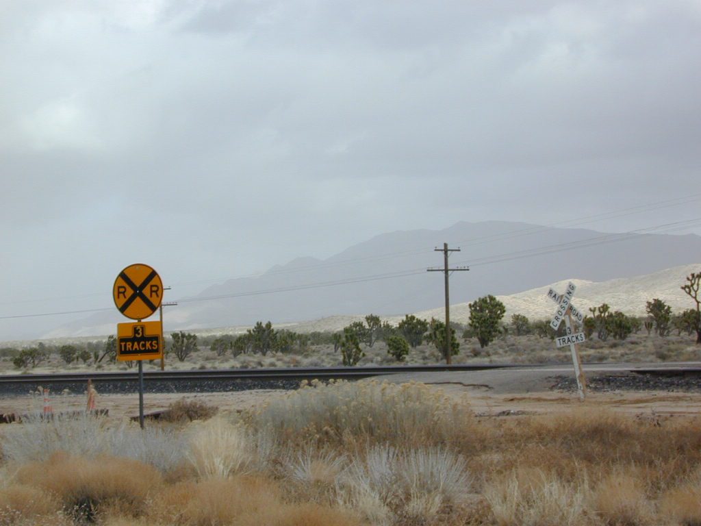
There are private property ranches, active railroad tracks & BLM lands along the Kelbaker route. Some of the boundaries of NPS have been extended, so best to bring a decent topo map.

map file case

MOJAVE DESERT
topo maps

Free camping is abundant in this desert region, but it’s all primitive w/ no facilities and all are on dirt roads when your turn off Kelbaker. Some of the best camping areas are around 4000 feet (above sea level), so serious wind and even snow is quite possible in the winter months. Go prepared w/ plenty firewood.

Historic Mojave Trail (aka Mojave Road) is out this way. Dirt bikes, off roaders love this trail that connects the Colorado River @ Avi Casino to Afton Canyon near Barstow.

wildflowerWILDFLOWERS – joshua tree, yucca, barrel cactus
Higher elevation deserts bloom in late Spring, generally March thru May. Perfect rainfall timing in the autumn, can determine wild blooms and flora months later. Providence Mountains SRA can be a good location for wildflower viewing.

depot desert

Kelso, CA

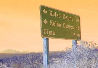
Kelso Depot:  historic spot, centered around the old train depot, which has been restored and has become the new visitors center and museum. Totally worth a 2 hour stop and HIKING/WALKING stretch break. The road heads north from Kelso and the name changes to: Kelbaker-Cima Road

train

Cima, CA

mojave dirt roadsCima Store, 20 miles to the north is one of the few businesses in this region. Post Office next door, maybe. Cima Road connects to I-15 in approximately 15 miles north. Kelbaker Road splits again and it heads up to I-15 @ Baker, CA

See more in this Mojave area —

Kelbaker Rd
Kelbaker Road and Railroad Tracks
Hole in the Rock
Hole in the Rock, Mojave NP
Mojave Scenery
Mojave Mid Hills boulder peaks

The Office

The Renovated Kelso Depot

Kelso Dunes

Kelso Dunes, Mojave NP

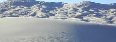
Kelso Sand Dunes are a unique geological feature in the middle of the Mojave desert; Located in triangle of high desert in between Barstow, the Interstate 40 and the Interstate 15.

The (long) main (dirt) road (bumpy) access to these sands dunes – is located off of paved Kelbaker Road, which is just south of the train depot at Kelso, CA

KELSO DUNES


checkKelbaker Road is located right off Interstate 40, at the eastern edge of Mojave National Preserve. From Barstow California take Interstate 40 eastbound to Kelbaker Road exit, turn north & follow the signs  20+ miles to the Kelso Dunes. The dirt road that accesses the sand dunes is a coupla miles of washboard & low rider passenger cars should use caution.

NPS

There is no off road OHV access on these dunes – as this vast desert area of flowing & blowing sand is part of the protected Mojave NP. Nearby, the historic Mojave Road is a dirt 4×4 trail that cuts straight thru the desert 138 rough miles, from the Colorado River to Afton Canyon near Barstow, CA

Kelso Depot, Mojave NP

depot desert

kelso weather

Primitive Camping Mojave Desert

Granite Mountains has secret boulder coves and primitive camp sites. Mountain biking, stargazing and bbikeouldering (rock climbing) are abundant this region. Open camping on nearly any dirt road is an option, but pay attention yo signs as there are a few private ranches in these parts. Free camp spots serve as an excellent overnight stop for hikethose traveling to and from the east — Vegas, NV, Grand Canyon, AZ or Utah.

camp

Campground Camping Mojave Desert

Mojave National Preserve

campgrounds

Afton Canyon Campground BLM


View Larger Map of Kelso Dunes

DanaMite Dunes

WIDE OPEN High DESERT

FREE CAMPING

SAND DUNES

RAIL ROAD

DIRT ROADS

JOSHUA TREES

BOULDERS

desert

nearest towns in the vicinity:

more Mojave links

Hole-in-Rock Lava

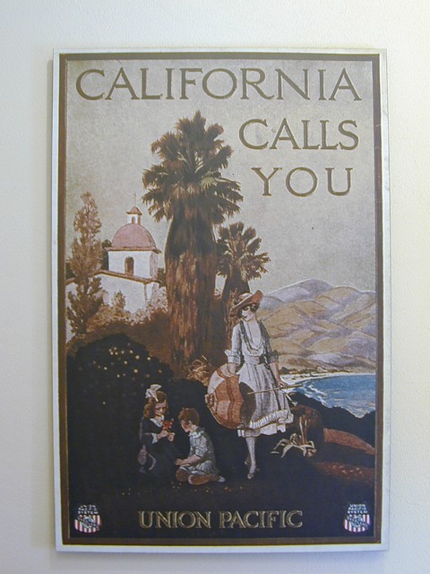
Union Pacific Poster - California Calls You

California UFO

California stargazing

Night Skies in California

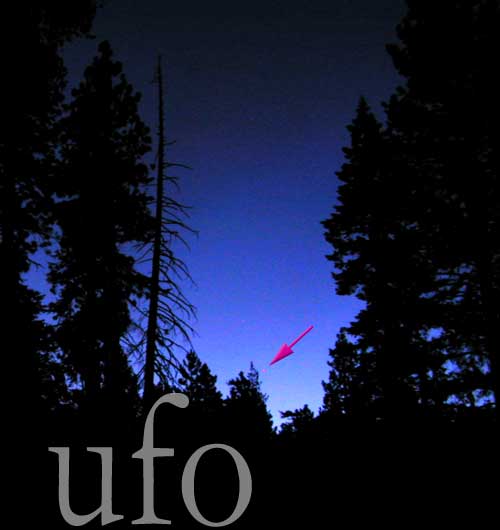
Many, many a nights spent under the heavenly stars. Outside in the middle of nowhere, tent camping, with fresh air and very open views of the sky. If you’ve seen the night skies, you know how incredible they can be, especially in the High Sierra. Alpine late summers with minimal moisture in the air, where chilly night time is show time and day time is for napping in the hammock. Perhaps you stargaze out in the vast deserts in winter months, or only in summer near the coast. But how many people ever see an unidentified flying object?
Stargazing comes hand in hand with meteor showers, telescope camp outs, star parties, and yes, unidentified flying objects. Although, half of the reports are in day light. I’ve heard a few UFO stories in my day, but only one California dude who had a story about a New York U.F.O.
I dated a conspiracy/ufo guy in college, who turned me on to Art Bell (late night talk radio) who loved to discuss the more bizarre things in life.

I’ve driven near Area 51, but not camped. I have yet to see one UFO, nor a crop circle, but I am not a pilot either. After camping out 1000 nights, over 35+ years, you would think I would have encountered at least one by now. I’m kinda bummed. I would like to see one, if they do exist.

places known for unusual activity (in the night sky):

  • AREA 51  – Pahrump, NV
  • Lancaster & Mojave, CA
  • Anza Borrego Desert
  • Twenty Nine Palms, CA
  • Lompoc, CA

White Tank Campground

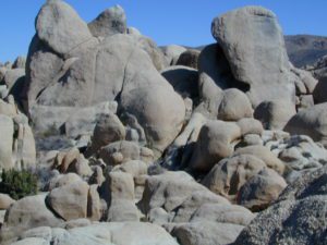
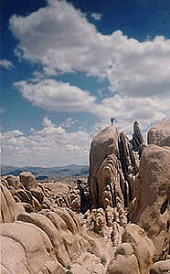
White Tank @ Joshua Tree

quiet camp

Joshua Tree National Park
White Tank Campground

desert hikers and rock climbers
love this small camp

hiker

whitetank

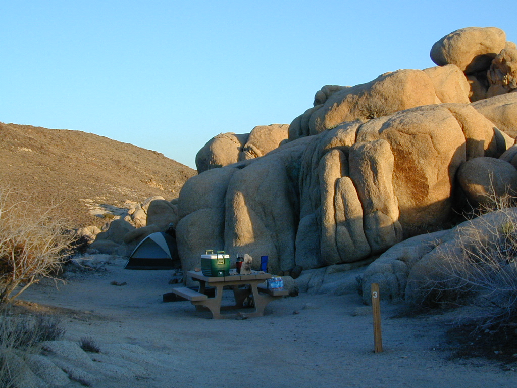
White Tank & Belle campgrounds are the smallest camps Joshua Tree National Park has to offer. On the east side of park both campgrounds are located half a mile from one another.

This Southern California desert lunar-scape National Park is more popular & crowded because of the proximity to major urban areas. The south east side of the park entrance station, Cottonwood, is the least busiest gate.

  • bouldering
  • camping
  • hiking
  • stargazingawesome rocks


From the town of 29 Palms (on Highway 162) take National Park entrance South on Gold Park Rd. At intersection with Loop Rd. (do not turn right) Go straight through onto El Dorado Mine Rd. about two miles drive leads the 2 campgrounds.

camp

Joshua Tree National Park
760-367-5500
760-367-7511

breakfastclub

campground  elev. spots  veg toilet water fee
White Tank  3800′ 15 josh vault none no

joshes

chair4marc
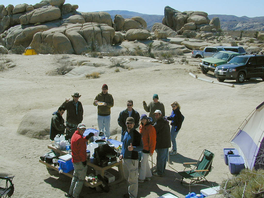
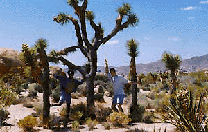
In the years between 2000-2005  founder of Total Escape, DanaMite, lead several guided camping trips to Joshua Tree and liked this specific area the best.

desert

danarocks