Tag Archives: National Monument

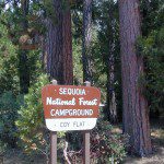
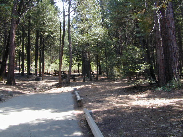
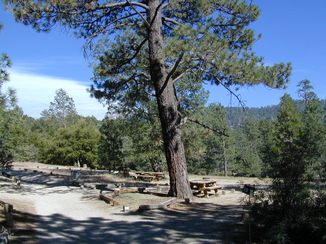
Coy Flat Campground

Coy Flat Camping
Giant Sequoia National Monument

Camp Nelson California

se Campground

Southern Sierra mountains and the Giant Sequoias, inside Sequoia National Forest. In the Camp Nelson area, south of the busy National Parks.

SEPT 2021: Closed due to the Windy Fire

GIANT SEQUOIA HWY 190 – Western Divide Highway is the 7000′ ridge line that separates the Upper Kern River from the great Central Valley to the west.

From the San Joaquin Valley – get to Porterville or Springville, continue up the mountain on the main highway, to the paved road turn off (Road #22S94) on the right side of the highway;

After Pierpoint Springs and before Camp Nelson. This quiet campground is located off the highway more than a mile, so traffic noise will not be an issue for the light sleepers. (Unless of course, a loud 4×4 rig screams by at midnight headed to the backwoods, or a horse trailer cruises by at 5am). This camp does border the Tule River Indian Reservation.
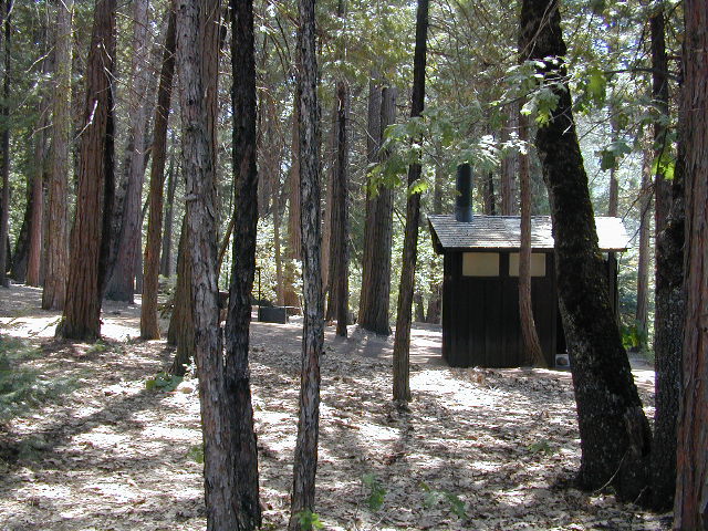
Western Divide Campground
Western Divide Highway 190
Giant Sequoia Campground

Sequoia Road #22S94 is a loop road leading to many forest meadows, groves, primitive camps and trailhead destinations. Bear Creek and Coy Creek flow near CoyFlat Campground, which both merge north into the Middle Fork of the Tule River @ the highway.

Belknap Grove is nearby, with Black Mountain Grove a few miles further on the dirt back road (Road #22S94) as it continues to Bateman Ridge and Road #21S12, near the Tule Indian lands. Mountain biking, rock climbing, backpacking and hiking all great in this region.

22S94 continues in forest to 8500′ elevation @ Windy Gap, where the Summit National Recreation Trail intersects road. Popular trail among horse riders. 22S94 connects back to Western Divide Highway, in between Ponderosa and Trail of 100 Giants. Awesome loop drive for those seeking seclusion on the dirt roads, away from the tourists and RVs. Call ahead to make sure that the dirt roads and gates are open, before you plan a weekend vacation around it.

COY FLAT CAMPGROUND camping

Elevation: 5,000′
Number of Sites: 19
Reservations: YesCoyFlat Campground Sequoia NF
Sites Available: First come, First serve
Vehicle Accessibility: Vehicle 22 ft. max.
Length of Stay: 14 Days
Water: Piped; Seasonal creek nearby
Toilet: Vault
Season: Closed for winter months
Fee: Yes
Operated By: National Forest Service
Closest Town: Camp Nelson, Califronia

Sequoia National Forest
Giant Sequoia Ranger Station
559-539-5230

Due to the spread of invasive insects, firewood from outside the area is not permitted. Help protect our forests by purchasing or collecting firewood at or near your camping destination and burning it on-site.
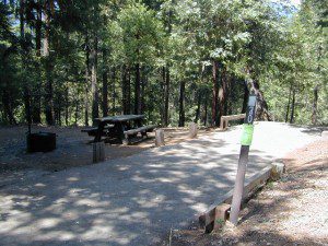
CoyFlat Sequoia
CoyFlat Campground – Giant Sequoia


California Parks List

California Parks and Recreation

State Parks, State Forests, State Recreation Area, National Parks, National Monuments, National Forests – What is the Difference?

public lands

Forest, Park, Reserve, Monument, Recreation Area, BLM, Nature Preserve… arghh!

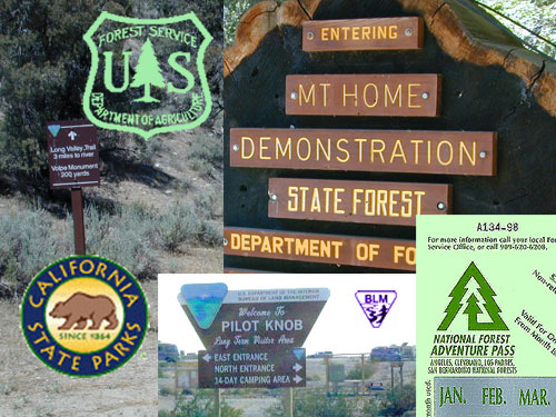
Don’t let all the park and forest names confuse you. It is all California and it is your public land! No bikes on trails, No gathering wood, No dogs here, No camping there; Now what?

Below is our overview graph for all California parks and forests – the basic concepts & the rules broken down for anyone to understand. Permits may be needed in certain areas. Only the government officials understand the true nature of all the ridiculous red tape.

CA Wilderness Areas California Wilderness Back country lands very protected from roads and human impact. Off limits to vehicles & mountain bikes. Only accessible by backpacking, hiking or horseback. Endangered species; Hard to reach terrains in the High Sierra. Overnight visits may require a wilderness permit.
CA National Parks California
National Parks – NPS: National Park Service
Federal lands are national parks, preserves & monuments; highly regarded as some of the most scenic in world & protected.  Very popular places and crowds often in summer. Limited use areas for camping & recreation. No mountain biking on trails. No dogs on trails. Try off-season. Drive thru entrance fees.
NM: California
National Monument
Located within the National Park System & more specific to a region. Historic buildings, geological features and deserts ruins qualify. Some National Monuments become National Parks. Many locations have entrance fees.
NRA: National Recreation Area Located within the National Park System & somewhat specific to a waterways, coastlines, lakes and reservoirs. Some locations have entrance fees.
NSA:
National Scenic Area National Seashore
Located within the National Park System & is basically scenic area worth preserving. Usually no entrance fees.
California National Parks
California USFS:
CA National Forests
USDA Forest Service
Areas of forest lands throughout state; some surround the National Parks. 18 national forests make up 20 million acres of federal land. Multiple use areas: snow skiing, mining, grazing, off-roading. OHV & SVRA Tons of small campgrounds, recreation & primitive spots for real seclusion. Best bet for finding a spot away from the crowds. Get a free fire permit & camp on back roads. No entrance fees, some parking or day use fees; SoCal requires an Adventure Pass.
California State Parks
California SP:
California State Parks
California Department of Parks & Recreation manages more than 260 parks. These smaller parks are located near cities with historical parks, as well as remote wild state land & coastal beaches. Entrance fees, day use, picnic and some have campgrounds. State Parks charge fees for day use, parking and overnight camping.
California SF: California State Forest California Demonstration Forests, areas to be protected. Redwoods & Sequoia Groves; fragile eco-systems. Handle with care. May charge entrance fee or day use fee.
California SRA:
State Recreation Areas
California Department of Parks and Recreation. Lakes, Reservoirs, Rivers. Many have boat rentals and active marina. Recreation lakes charge entrance, day use, parking or boat launch fees.
California OHV & SVRA: Off Hwy Vehicle Area and State Vehicle Recreation Areas Off Roading folks and dirt bikes can have their fun wheelin. Lands set aside for OHV use; dune buggies, quads & 4×4 enthusiasts. Most in desert regions; forest lands. Developed campgrounds large enough to accommodate RVs and trailers. Fees may apply in these off-road areas for day use or camping.
California County Parks Desert hot springs, oak foothills and campgrounds, local hills w/ hikes, parks close to urban regions. Back roads & rural land protected from freeways & development. May require parking or entrance fees. Find these listed on the California A-Z town pages
City Parks in California Urban Parks & Recreation, inside the city limits. Usually no entrance fees. Find these on California A-Z town pages
blm camps
BLM: public lands Bureau of Land Management All public lands that do not fall into the above categories. Little to no fees for day use, recreation or overnight camping. Plenty of desert & off roading areas. Some forest lands, certain lakes. Small campgrounds or open camping allowed. Fees may apply in developed campgrounds. Camp overnight almost anywhere out here for free, with a ranger issued camp fire permit.

califrepublic


Sequoia – which one?
Sequoia National Park
Sequoia National Forest
Giant Sequoia National Monument

Imagine that the Southern Sierra mountains is home to 3 different public parks named Sequoia. Yep, it’s true. Sequoia National Park, Sequoia National Forest, and Giant Sequoia National Monument. Other parks that have Sequoia groves are – Mountain Home State Forest, Calaveras Big Trees State Park, as well as Yosemite National Park.

As far as the Coastal Redwoods, most are included under State Parks. Find these parks on the Central Coast Big Sur and Santa Cruz mountains, plus Marin County, and all along the north coast US Hwy 101 from Mendocino to the Oregon border. Numerous redwoods parks are located along rivers.

we break it all down here on
Big, Tall, Old Trees

The super scenic Big Sur coastline is home to Julia Pfieffer Burns State Park and to the similarly named Pfieffer Big Sur State Park. Leave it to park personnel, state officials or the non-locals to create such a confusing naming system within our most-visited state.

hiker

Park Maps & Topos  topo maps

National Forest Atlas
National Forest Maps
National Park Maps
State Park Maps
BLM Maps

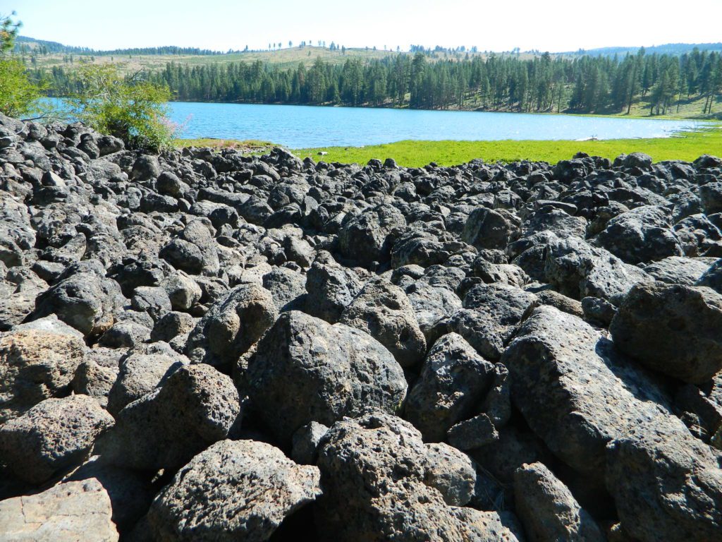
Lava Blue Lake
Lava Rock @ Blue Lake in Modoc County
holcombcamp
Holcomb Valley Camp, Big Bear Lake, CA
Wilderness with Horses Sierra Ski Maps Camping California Wilderness Rangers Snow Ski Topo Maps Mountain Biking Maps
Wilderness Hikes Wilderness Hiking Maps Wilderness Topo Maps Sierra Fishing Maps Sierra Topo Maps California Hiking Maps
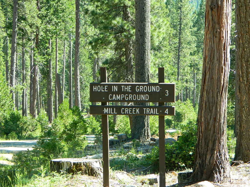
holeinthegroundsign
Lassen Camping near a creek in Northern California

California Outdoor Recreation:
All parks, forests, preserves, monuments, public lands, lakes, rivers, wilderness, historical sites and museums can be found listed separately on our super duper local A-Z town pages

fout springs
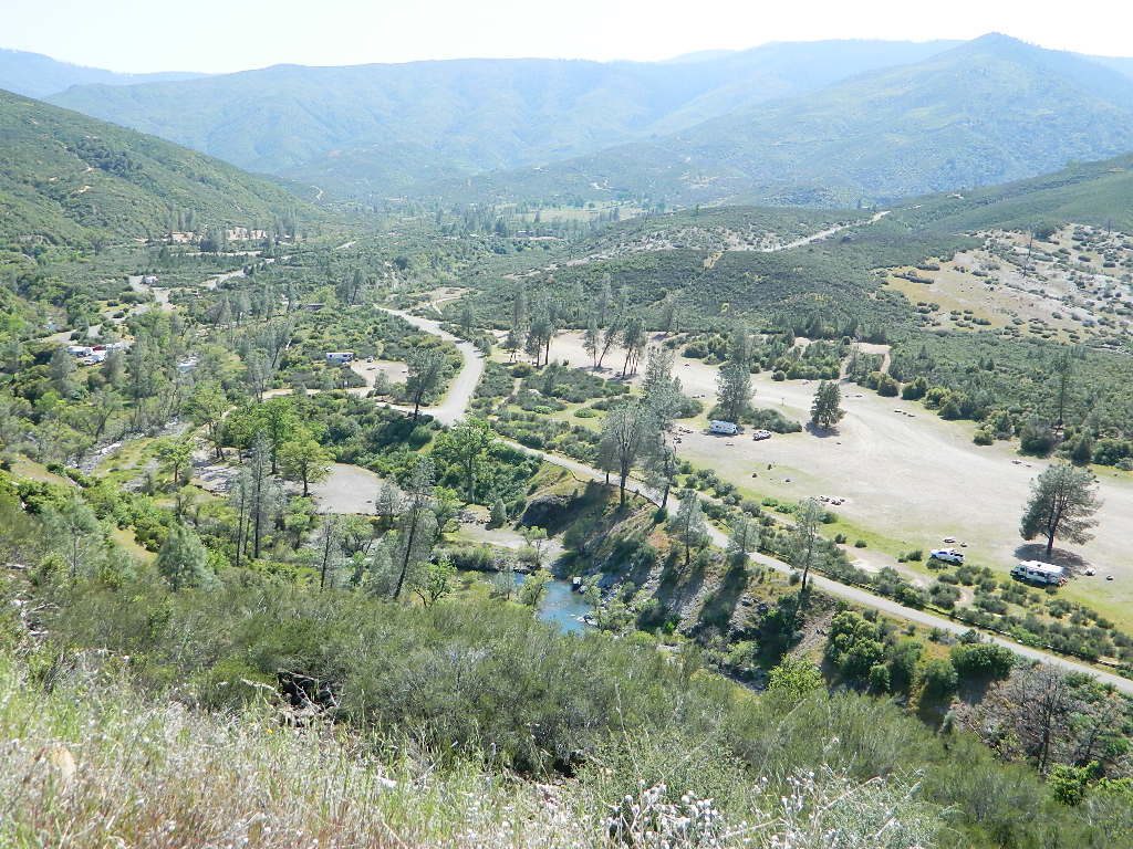
Fout Springs, near Stonyford, Northern California

dirtbikes

Sequoia Cabins

Sierra Cabins near Sequoia Groves

Sequoia trees naturally grow in the Sierra Nevada mountains, on the west side of the range. Several parks & forests make up what is known as “the Sequoias” – in the Southern Sierra, Sequoia National Forest; Giant Sequoia National Monument; Mountain Home State Forest; Central Sierra is home to Sequoia National Park & neighboring Kings Canyon NP; Sierra National Forest & Yosemite NP. Yep, all those areas have Sequoia groves!

See all the Sequoia & Redwood Groves in California!

California Cabin Rentals near to Sequoia groves –

Sequoia cabin rentals

TOPO MAPS of California Redwoods –

  • Sequoia Maps by NatGeo
  • Yosemite NP Maps
  • NorCal Redwoods Map
  • If you are searching for tallest species, the Coastal Redwoods located on the shores of Northern California, then you can find them over here – NorCal Redwoods

    Mojave Road Map

    Mojave Road Trail

    The Mojave Road

    Mojave Desert Back Roads

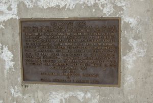
    The historic Mojave Road spans the high desert region of east California – crossing the Colorado River westward to roughly Los Angeles. Now a network of dirt and paved routes follow the original overland trade route. Click the plaque photo below to read more.

    The Mojave Road

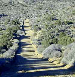
    The rugged, dirt road cuts right through the middle of the Mojave National Preserve. Mid Hills, Kelso Depot, Cima.

    mojave topo maps

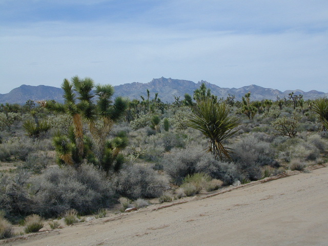
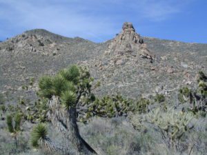
    Joshua Trees, mountains, boulders, sand dunes, railroad history. The high desert is abundant with wildlife, plant life, lava tubes, caverns, camping, and dirt roads. Plus wild windy weather.

    Mojave Loop

    MOJAVE PARK
    Located on the way to Vegas, NV – or the Grand Canyon in Arizona. Mojave NP is in the triangle space in between Interstate 15 and Interstate 40, on the eastern side of southern California. Freeway close, free camping in the Mojave does indeed exist, if you know where to look.

    Mojave Map by Trails Illustrated NatGeo 

    NatGeo Map Mojave California

    National Geographic acquired Trails Illustrated Maps more than a dozen years ago. Ever since these plastic topo maps have gone 2 sided, full-color w/ more details featured than ever before. Updated regularly. Waterproof plastic, perfect for outdoor desert travels.

    Mitchell Cavern, called Providence Mountains SRA, has camping, but it is situated up on an exposed bluff overlooking the freeway. Location gets windy as hell. Better campground is at Hole in the Wall, or even better, Mid Hills Camp.

    Mojave Peaks

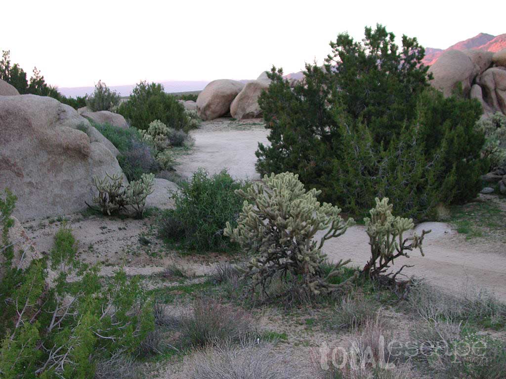
    Primitive, free camping can be found off of Kelbaker Road, but be warned: dirt roads can get deeply rutted and impassible during extreme wet weather. 4WD may be required sometimes.

    • CAMPGROUND CAMPING
    • FREE CAMPING
    • GROUP CAMPING
    • HIKING TRAILS
    • HISTORIC MONUMENTS
    • HORSE CAMPING
    • HORSEBACK TRAILS
    • JOSHUA TREES
    • LAVA TUBES
    • MINING HISTORY
    • MOUNTAIN BIKE TRAILS
    • OFF ROAD CAMPING
    • RAILROAD HISTORY
    • RANCHES
    • RV CAMPING
    • SAND DUNES
    • VOLCANIC TERRAIN

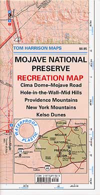
    Mojave Desert Map by Tom Harrison

    Mojave Road Map

    One of the first readily available topographic style maps of the Mojave desert. Waterproof plastic, Tom Harrison brand maps are perfect for any type of backcountry travel, on foot, on horse, or off-road.

    Campsites

    AAA & NPS: one-page freebie; excellent overview map created by the Automobile Association of Southern California w/ the National Park Service. Handed out at Visitors Center and ranger stations (1990s)

    BLM Maps of Mojave: OHV (off highway vehicle) maps can be found at the local Bureau of Land Management ranger stations:

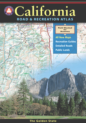
    Benchmark California Atlas

    California Atlas
    Best map for statewide coverage!

    This premium full state atlas has the whole, massive Mojave desert covered, which extends north into Death Valley National Park and south to Joshua Tree National Park.

    Mojave Desert Books